
Search for another town




Free U.S. delivery 7 to 10 days after you order
Sioux Falls, South Dakota Map Art
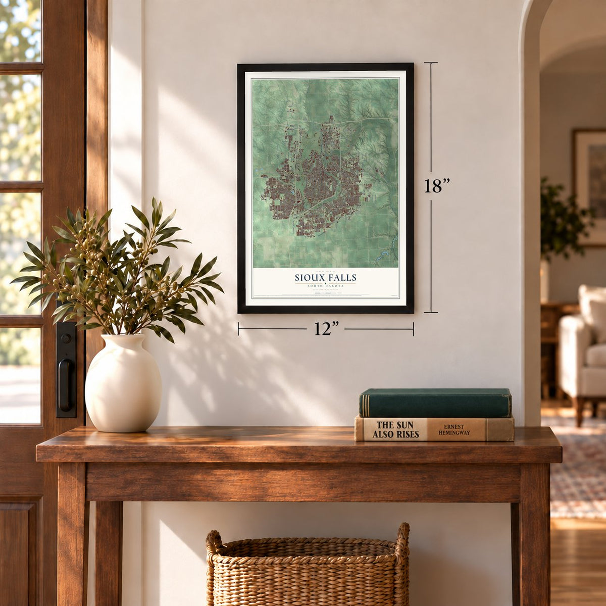
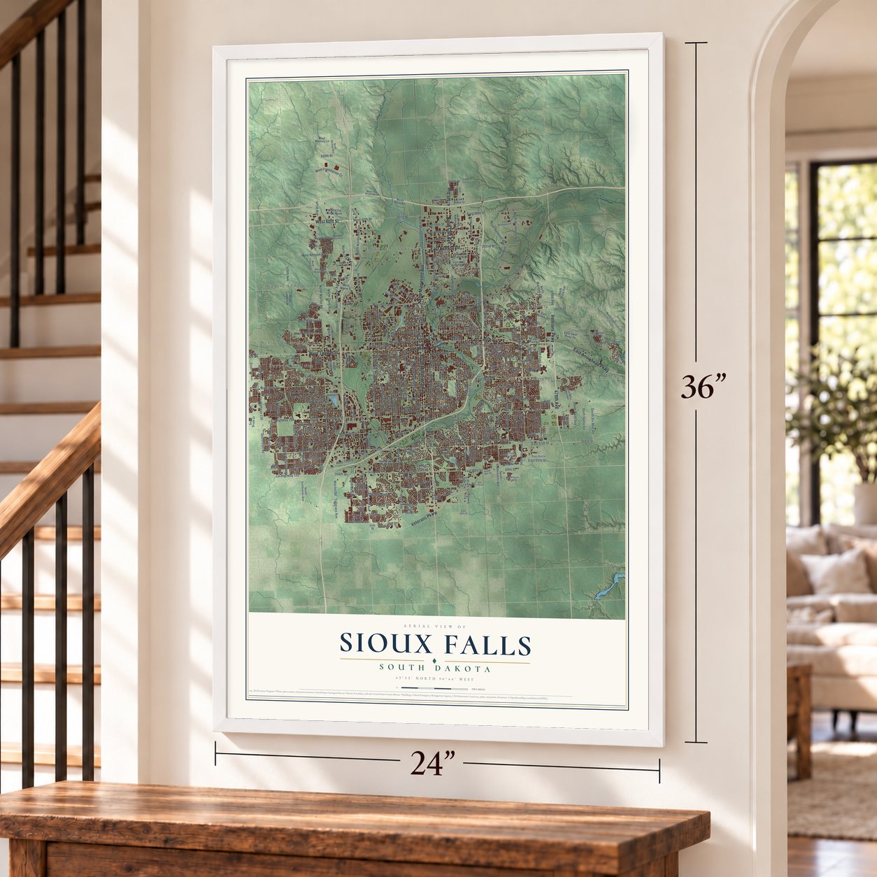
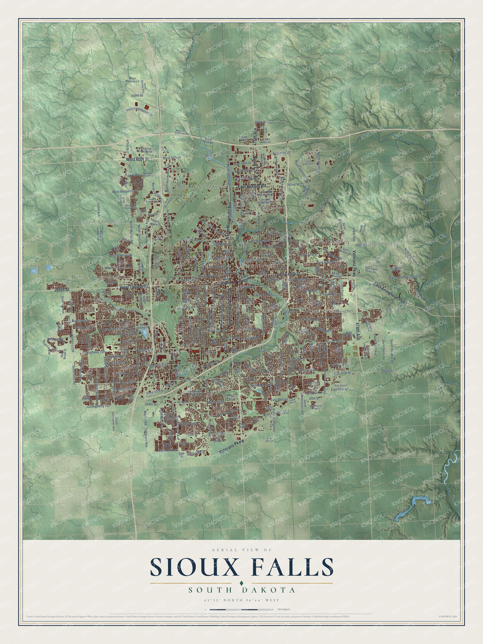
A new map of Sioux Falls, South Dakota, made in 2026 and printed to order on thick archival matte paper.
12" x 18" Archival Matte Print
A Map of Home. A Work of Art.
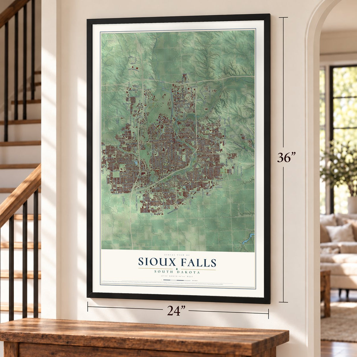
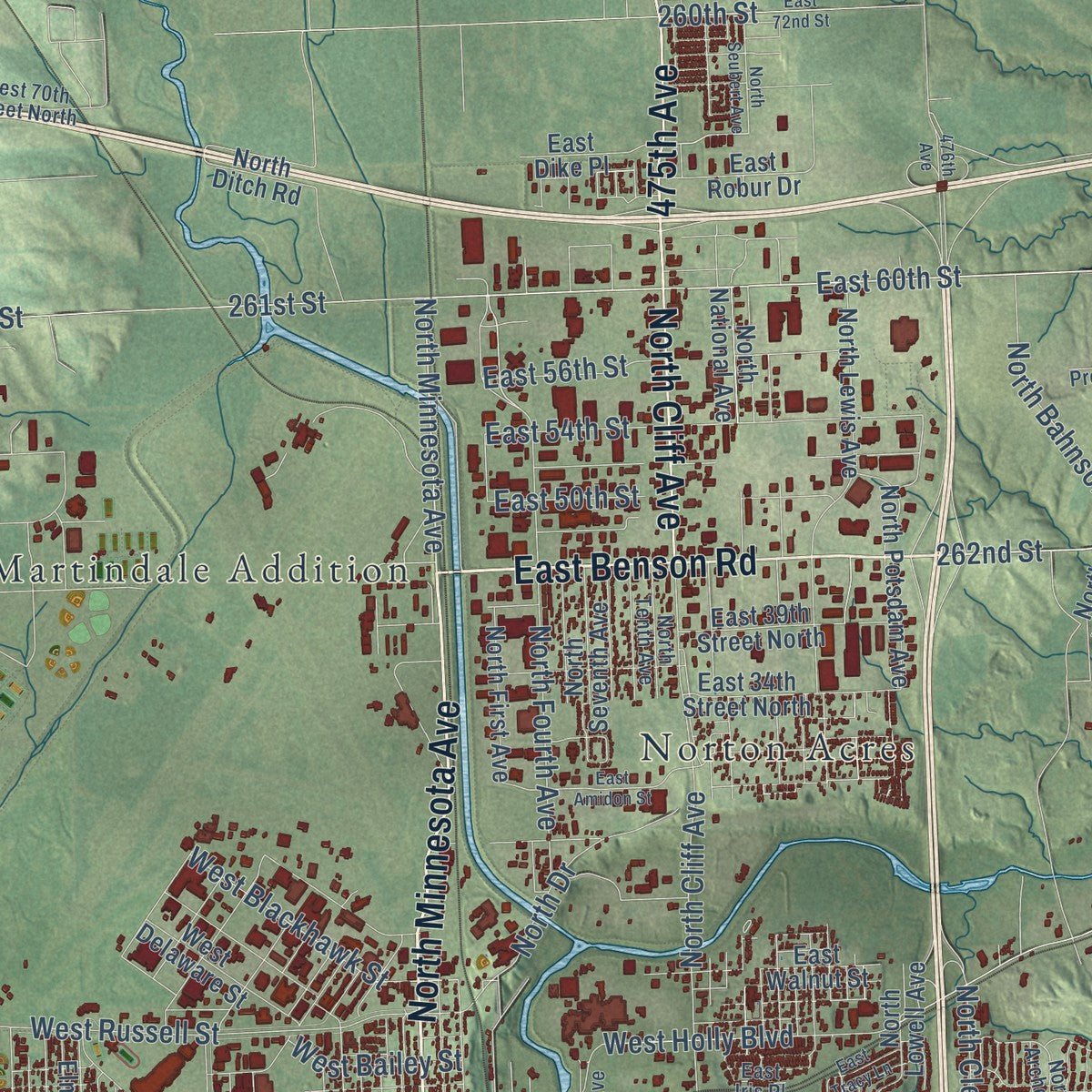
Explore Sioux Falls, South Dakota from a whole new perspective. Created using aerial imagery and detailed geographic data, this map captures Sioux Falls building by building, with labeled streets, familiar landmarks, and shaded topographical relief that highlights the natural contours of the landscape.
Combining modern data with the timeless character of a vintage atlas, this map is just as interesting up close as it is beautiful on the wall. Whether you grew up in Sioux Falls, spent memorable years there, or call it home today, this unique map is a great way to celebrate a place that means something to you. Zoom in on the preview to look for your street, and then order a print to put your memories on the wall.
Three ways to hang it
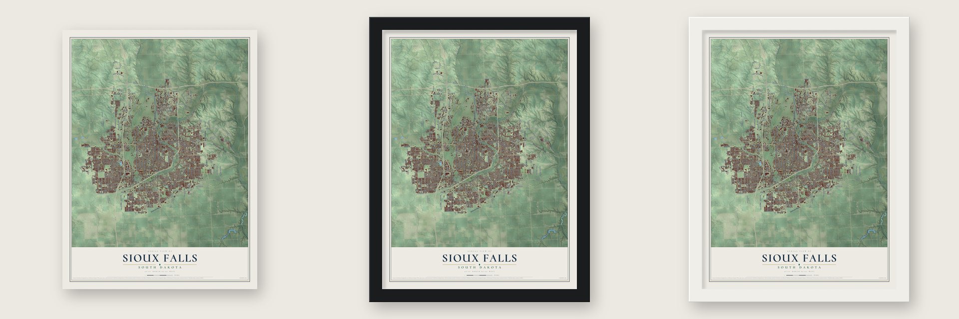
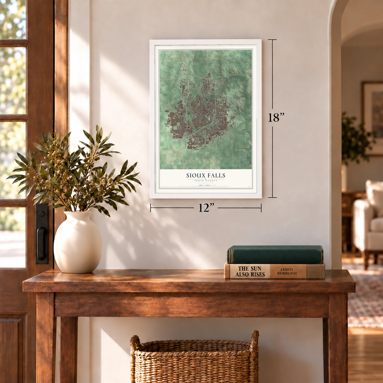
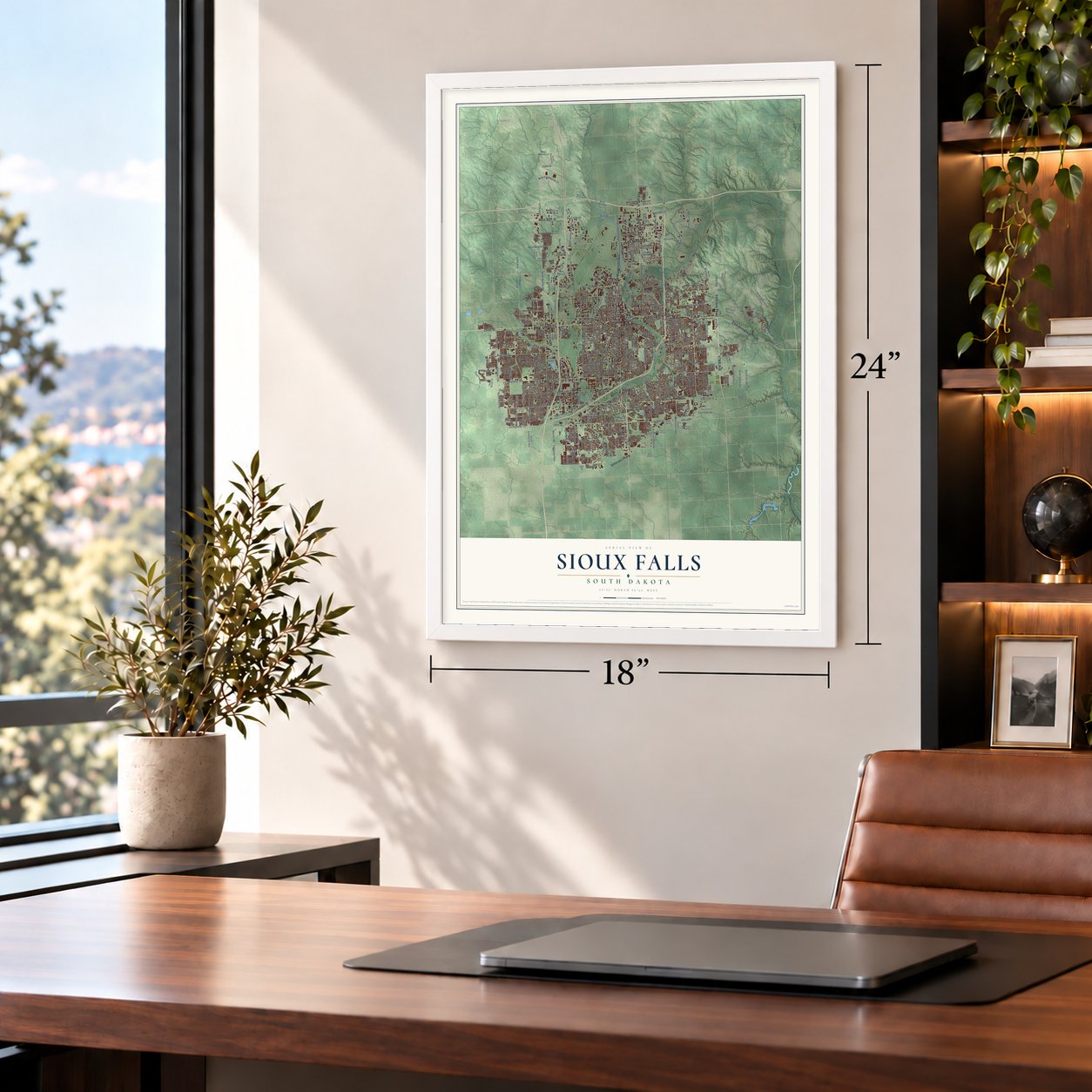
Unframed archival matte, a black wood frame or a white wood frame.
Up close
Geography Worth Displaying
This map was created using accurate cartographic data and authoritative geographic sources, including the U.S. Geological Survey and the Census Bureau. The map brings together terrain, waterways, roads, and building detail. The majority of the streets are labeled, houses are accurately depicted, and the topography is derived from government sources. Combining local data with carefully composed color and shading leads to this beautifully detailed Sioux Falls artwork for your wall.
Rather than simply showing street outlines, we’ve included as many of the street names as we could reasonably fit on the map while keeping their names legible. Zoom in on the high resolution preview to see exactly what’s on the map. We truly set out to create a statement piece for anyone who loves Sioux Falls. So whether it’s for you, or a gift for someone you love, we hope this map of Sioux Falls brings back fond memories.
Read the story behind this map of Sioux Falls, South Dakota from 2026.

About Sioux Falls, South Dakota
Sioux Falls is a city of 192,517 people and the seat of Minnehaha County, built around the falls of the Big Sioux River. In 1856 two groups came to claim the land by the falls, drawn by its beauty and its waterpower. One was the Western Town Company from Dubuque, Iowa, and the other was a St. Paul firm, the Dakota Land Company. Each staked a 320-acre claim, but they worked together for safety and put up a turf wall they called "Fort Sod." Seventeen men stayed through that first winter, and by the next year the settlement had close to 40 people.
The Dakota War of 1862 spread across nearby southwestern Minnesota. After two local settlers were killed that August, the settlers and the soldiers posted in town left for Yankton, and the empty town was looted and burned. A military post, Fort Dakota, opened in what is now downtown in May 1865, and the old settlers slowly came back along with many newcomers. By 1873 the town had 593 people and a building boom, and it became a village in 1876. The Dakota Territorial legislature gave it a city charter on March 3, 1883.
- Named for the fallsThe Dakota Land Company named the town for the falls of the Big Sioux River, which flows on to meet the Missouri just above Sioux City. The falls formed about 14,000 years ago, in the last ice age. Philander Prescott, who camped at them overnight in December 1832, is the first American of European descent known to have visited.
- Boom years of the 1880sRailroads brought the Dakota Boom of the 1880s, and the city grew from 2,164 people in 1880 to 10,167 in 1889. A bad plague of grasshoppers and a national depression ended the boom by the early 1890s, and the city added only 89 people between 1890 and 1900. Good times came back after the John Morrell meat packing plant opened in 1909, next to stockyards that ranked among the largest in the nation.
- The Divorce ColonyIn the 1890s Sioux Falls drew women seeking divorce. South Dakota had some of the most permissive divorce laws in the country, and the railroad made the city easy to reach. People called it the "Divorce Colony," and it stayed popular until the state changed its residency rules in 1908.
- A high school turned arts centerWashington High School joined the National Register in 1986. The old building was renovated into the Washington Pavilion, which opened in 1999 with two performing arts spaces, a visual arts center and a science center. Its Egger Gallery holds the Northern Plains Tribal Arts collection, from a juried show started in Sioux Falls in 1988.
Find your street
Names on the Sioux Falls map
Every name below is printed on this map. Look for your street, your school, the park where you played, or the pond down the road.
Places and landmarks11
- Downtown
- East Sioux Falls
- Cactus Heights
- Hayward Addition
- Ingberg Tracts
- Martindale Addition
- Norton Acres
- Reppert Addition
- Silver Valley Addition
- Split Rock Heights
- Webster Grove Addition
Streets and roads320
- Veterans Parkway
- 478th Avenue
- South Minnesota Avenue
- East Arrowhead Parkway
- West 60th Street
- North Minnesota Avenue
- East Tenth Street
- East Benson Road
- West Twelfth Street
- North Cliff Avenue
- 475th Avenue
- 265th Street
- 268th Street
- 471st Avenue
- 269th Street
- 261st Street
- West 69th Street
- East 33rd Street
- East 69th Street
- 69th Street
- 57th Street
- East 52nd Street
- West 33rd Street
- Marion Road
- West 59th Street
- 59th Street
- West 26th Street
- East 60th Street
- North Fourth Avenue
- West Fifth Street
Show all 320 streets
- North Sycamore Avenue
- South Judy Avenue
- West 61st Street
- East 14th Street
- South Bahnson Avenue
- South Grange Avenue
- East 77th Street
- 262nd Street
- North Northview Avenue
- East 57th Street
- West 41st Street
- South Western Avenue
- West 57th Street
- South Cliff Avenue
- East 26th Street
- South Louise Avenue
- North Marion Road
- 85th Street
- West Holly Boulevard
- East Rice Street
- East Sixth Street
- South Marion Road
- West Madison Street
- East 41st Street
- North Career Avenue
- East 18th Street
- 469th Avenue
- 270th Street
- County Highway 139
- South Ellis Road
- North Louise Avenue
- South Six Mile Road
- North Bahnson Avenue
- South Sertoma Avenue
- West Ninth Street
- West Benson Road
- East 49th Street
- South West Avenue
- South Phillips Avenue
- West 49th Street
- South Kiwanis Avenue
- West 37th Street
- East 54th Street
- East Twelfth Street
- West Tenth Street
- West 32nd Street
- South Hawthorne Avenue
- West Russell Street
- 473rd Avenue
- Western Avenue
- West 53rd Street
- East Third Street
- 470th Avenue
- South Summit Avenue
- South Elmwood Avenue
- East 15th Street
- North Kiwanis Avenue
- West 51st Street
- West Third Street
- 264th Street
- West Foundation Court
- East 61st Street
- County Highway 148
- East 16th Street
- Tallgrass Avenue
- West Sixth Street
- West 46th Street
- South Mogen Avenue
- 104th Avenue
- West Bailey Street
- East 38th Street
- South Lewis Avenue
- County Highway 102
- East 17th Street
- South Galway Avenue
- West Laquinta Street
- North Cleveland Avenue
- East Fourth Street
- South Foss Avenue
- North Drive
- North West Avenue
- East Oak Street
- West Blackhawk Street
- East 36th Street
- South Klein Avenue
- East Brennan Drive
- South Beal Avenue
- South Faith Avenue
- Lyon Boulevard
- North Terry Avenue
- 259th Street
- East 56th Street
- East 50th Street
- East Plum Creek Road
- East 65th Street
- West 95th Street
- West Broek Drive
- West Essex Drive
- 260th Street
- West 93rd Street
- 90th Street
- West Leah Street
- Bitterroot Street
- Paul Street
- West Eleventh Street
- South Southeastern Avenue
- South Yeager Road
- East 53rd Street
- East Grant Street
- South Sycamore Avenue
- West 22nd Street
- North Lewis Avenue
- North Westport Avenue
- West Maple Street
- North Lamesa Drive
- West 18th Street
- West Ralph Rogers Road
- South First Avenue
- West 15th Street
- South Fourth Avenue
- County Highway 123
- West 16th Street
- South Lake Avenue
- West 77th Street
- South Alpine Avenue
- South Jefferson Avenue
- West 43rd Street
- West 54th Street
- South Van Eps Avenue
- South Sundowner Avenue
- East 24th Street
- East 19th Street
- South Grinnell Avenue
- East 20th Street
- East 13th Street
- East Fifth Street
- West Eighth Street
- East 22nd Street
- North Western Avenue
- South Hughes Avenue
- East Eleventh Street
- North Ditch Road
- South Ebenezer Avenue
- South Carolyn Avenue
- West 38th Street
- South Ash Grove Avenue
- South Graystone Avenue
- North First Avenue
- West Westminster Drive
- West 66th Street
- South Crane Avenue
- East 23rd Street
- West 65th Street
- North National Avenue
- North Potsdam Avenue
- South Shirley Avenue
- North Sanctuary Drive
- West 17th Street
- East 34th Street North
- North Lowell Avenue
- South Terry Avenue
- East Walnut Street
- West 88th Street
- South Gordon Drive
- Tomar Road
- East 39th Street North
- South Arden Avenue
- North Tillie Avenue
- North Marlowe Avenue
- West 62nd Street North
- North Seventh Avenue
- North Ebenezer Avenue
- South Lowell Avenue
- North Elmwood Avenue
- South Sparta Avenue
- West First Street
- South Bedford Avenue
- East Ninth Street
- West 90th Street
- West Delaware Street
- South Gill Avenue
- South Linedrive Avenue
- East Twin Pines Drive
- West 36th Street
- West 81st Street
- East Brewster Street
- South Lana Drive
- West Memory Lane
- East Robur Drive
- West Jeanne Drive
- East Dike Place
- North Hall Avenue
- South Broek Drive
- South Katie Avenue
- South Edmond Avenue
- East Revere Drive
- South Oxbow Avenue
- South Caraway Drive
- East 73rd Street
- Perry Place
- East Tree Top Street
- South Kris Drive
- West Jolyn Drive
- East Huber Street
- 95th Street
- Frontage Road
- West 39th Street
- County Highway 117
- West 56th Street
- South Fifth Avenue
- East 63rd Street
- South Euclid Avenue
- East Old Orchard Trail
- West 27th Street
- North Weber Avenue
- South Glenview Road
- West 34th Street North
- East Second Street
- West 67th Street
- North Archer Drive
- South Highline Place
- South Westport Avenue
- North Lalley Lane
- East Belmont Street
- West 44th Place
- North Olympia Drive
- North Meyer Lane
- East Producer Lane
- East Willow Wood Street
- North Sechser Avenue
- North Tenth Avenue
- South Moss Stone Avenue
- North Yukon Avenue
- West Tickman Street
- West Gert Street
- East Prairie Wind Street
- South Saint Francis Lane
- South Wilson Avenue
- West 70th Street North
- East 58th Street
- North Teal Place
- Westview Road
- West Teem Street
- South Alki Place
- West Teem Drive
- East 90th Street
- West Pat Street
- East Iris Place
- 58th Street
- Park Road
- South Solberg Avenue
- 476th Avenue
- South Mustang Avenue
- North Granite Lane
- South Elmwood Place
- West Empire Place
- East Eighth Street
- South Norton Avenue
- West 28th Street
- West 13th Street
- West 50th Street
- East Marion Drive
- South Dubuque Avenue
- West Oak Street
- East Tracy Lane
- South Annway Drive
- East Austin Street
- North Seubert Avenue
- South Scarlet Oak Trail
- West 54th Street North
- East Amidon Street
- South Mary Beth Avenue
- North Martindale Road
- East 72nd Street
- Surrey Hills Court
- South Mandy Avenue
- West Batcheller Lane
- West Thatcher Drive
- West 14th Place
- East Piping Rock Lane
- South Dunlap Avenue
- South Durham Avenue
- South Vista Lane
- East Cedar Lane
- West Panda Drive
- East 77th Circle
- North Foss Avenue
- West Rose Street
- Purdue Avenue
- West Owl Place
Names are listed as they appear on the printed map. Zoom into the product photos to find them.
The art of mapping a place
How This Map Was Made
Real places. Remarkable detail. Discover the layers that turn geographic data into a map of home.

The view from above
Aerial imagery reveals the character of the land: woodland, open fields, and the patterns of a place.

The shape of the land
Elevation data brings hills, valleys, and subtle changes in the landscape into view.

The details of home
Roads, waterways, and building footprints come together to make the map feel unmistakably local.

Geography becomes art
Considered color, shading, and typography bring the layers together in a map made for your wall.


Process illustrated with Mendon, Massachusetts. Aerial imagery: USDA NAIP. Terrain: USGS 3D Elevation Program. Map details and finished artwork: KNOWOL.
The Details
About This Print
Choose an archival matte print, or a black or white Ayous wood frame. The archival matte print is unframed.
Select your size and finish above to see the matching product image and price.
Materials & Craftsmanship
A contemporary map with the character of a classic atlas, printed on archival matte paper. Optional frames are made from Ayous wood.
Your printed map does not include the watermark shown in the full-map preview.
Shipping & Delivery
Free shipping within the United States. Every print is made to order in the USA.
Buying a gift? Add a note in your cart and we'll include it. We never put prices in the package.
Prints ship within 2 to 3 business days. Allow 7 to 10 days total from ordering for delivery. Timing may vary during holidays or periods of high order volume.
Read our shipping policy.
Returns and damaged prints
Each print is made to order. Change-of-mind refunds are not available after production.
If your print arrives damaged, misprinted or incorrect, contact support@knowol.com within 30 days of receiving it. Include your order number, photos and a description of the issue.
Read our full refund and replacement policy. For questions about your order, email support@knowol.com.
Find your town
Looking for another city?
Find a map of home in our South Dakota collection, or any town in the country.
Nearby
Maps of towns near Sioux Falls
Know someone from one of these towns? Their map makes a great gift.
 Pine Lakes Addition
, South Dakota
From $39.99See the map
 Meadow View Addition
, South Dakota
From $39.99See the map
 Anderson
, South Dakota
From $39.99See the map
More maps nearby: Shindler, Harrisburg, Tea, Renner Corner and Brandon.