
Search for another town

Free U.S. delivery 7 to 10 days after you order
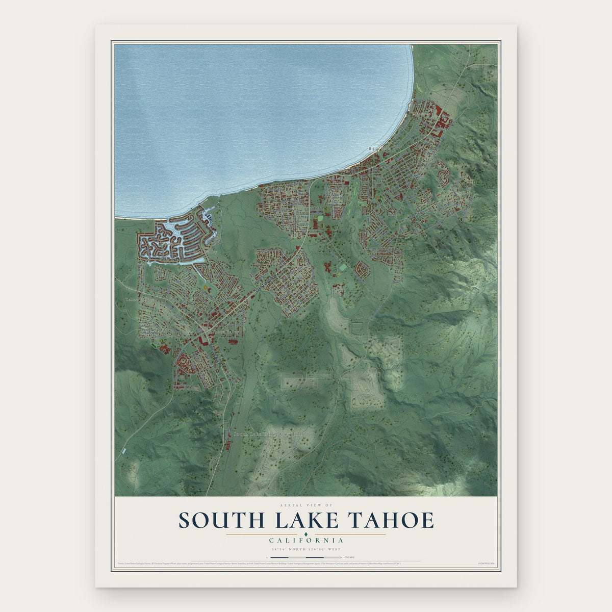
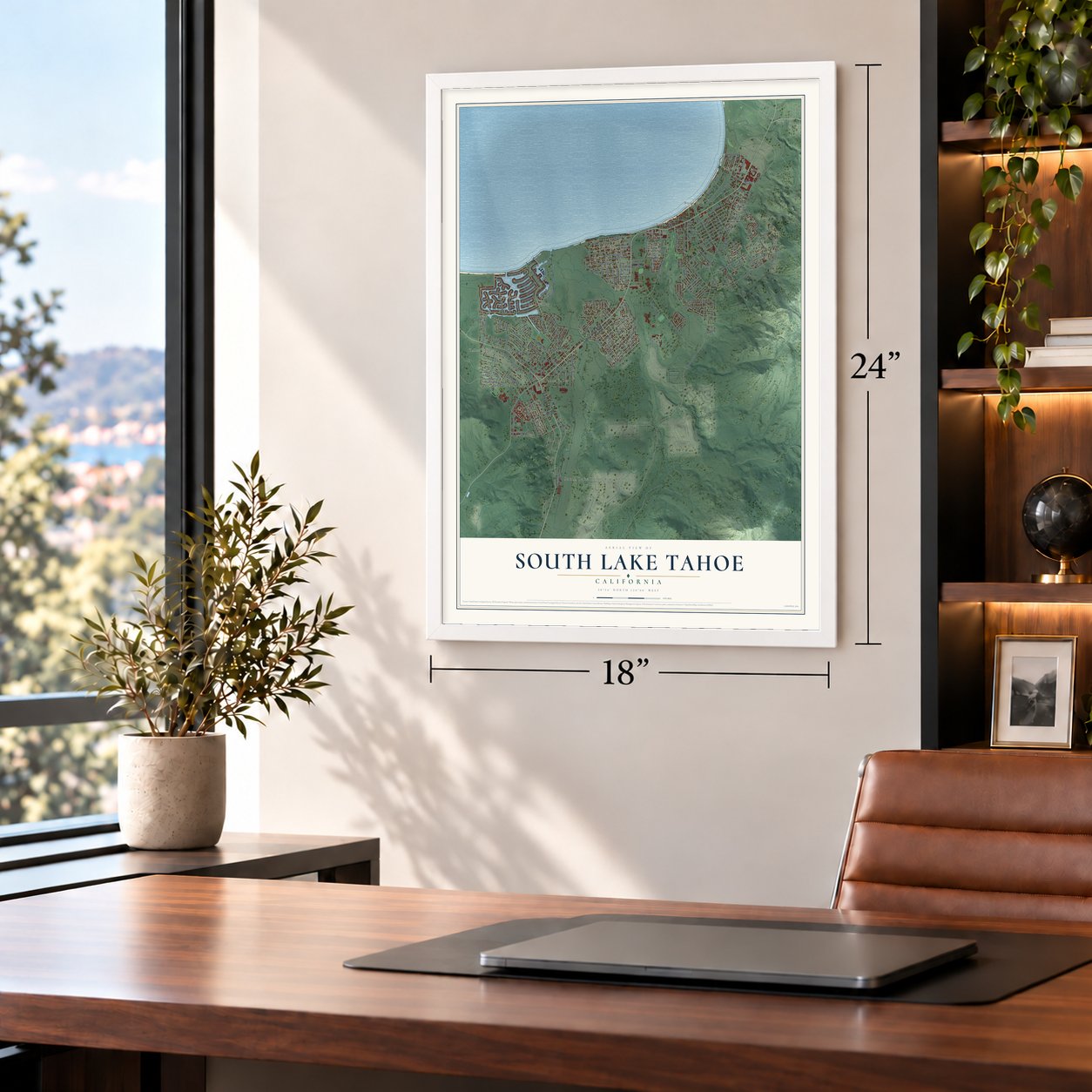
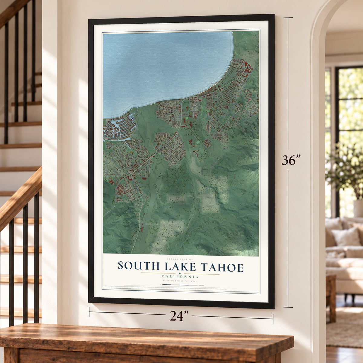
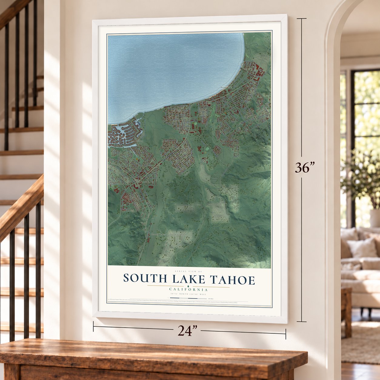
South Lake Tahoe, California Map Art
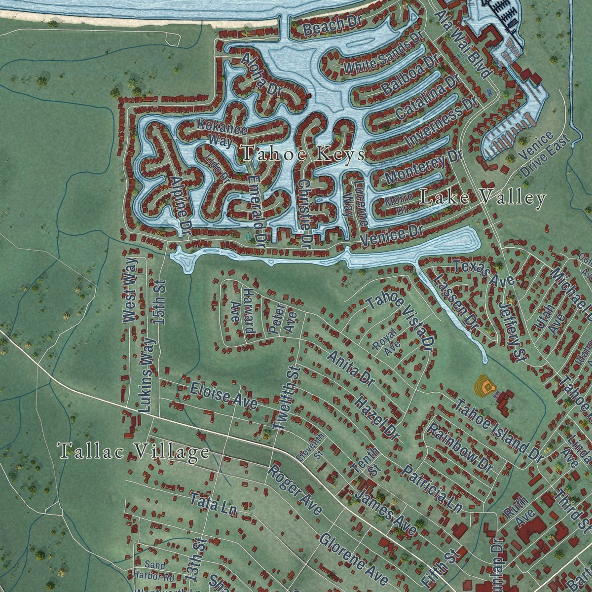
Building by building, with labeled streets and shaded relief.
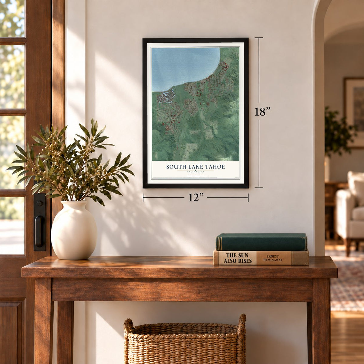
12" x 18" Archival Matte Print
A Map of Home. A Work of Art.
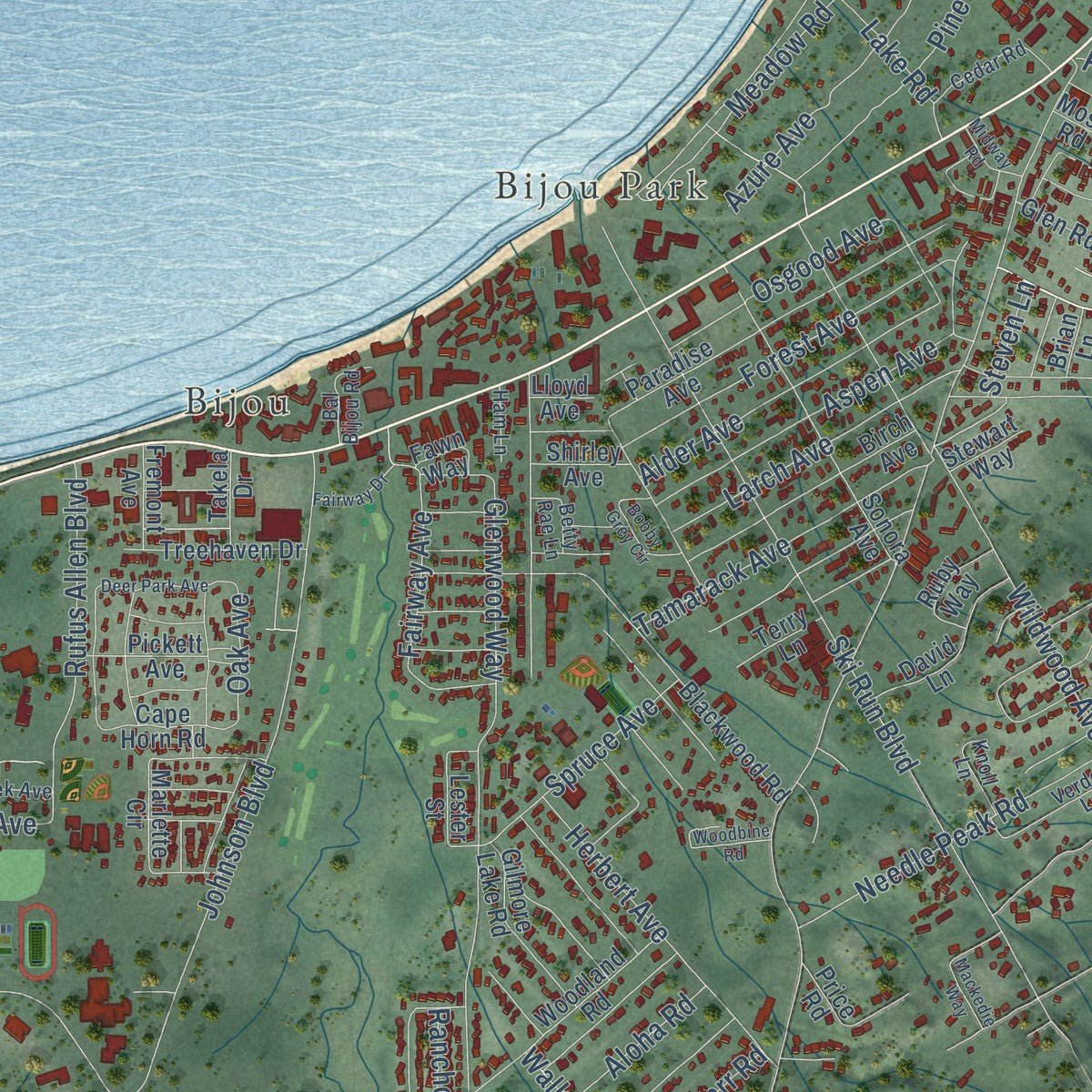
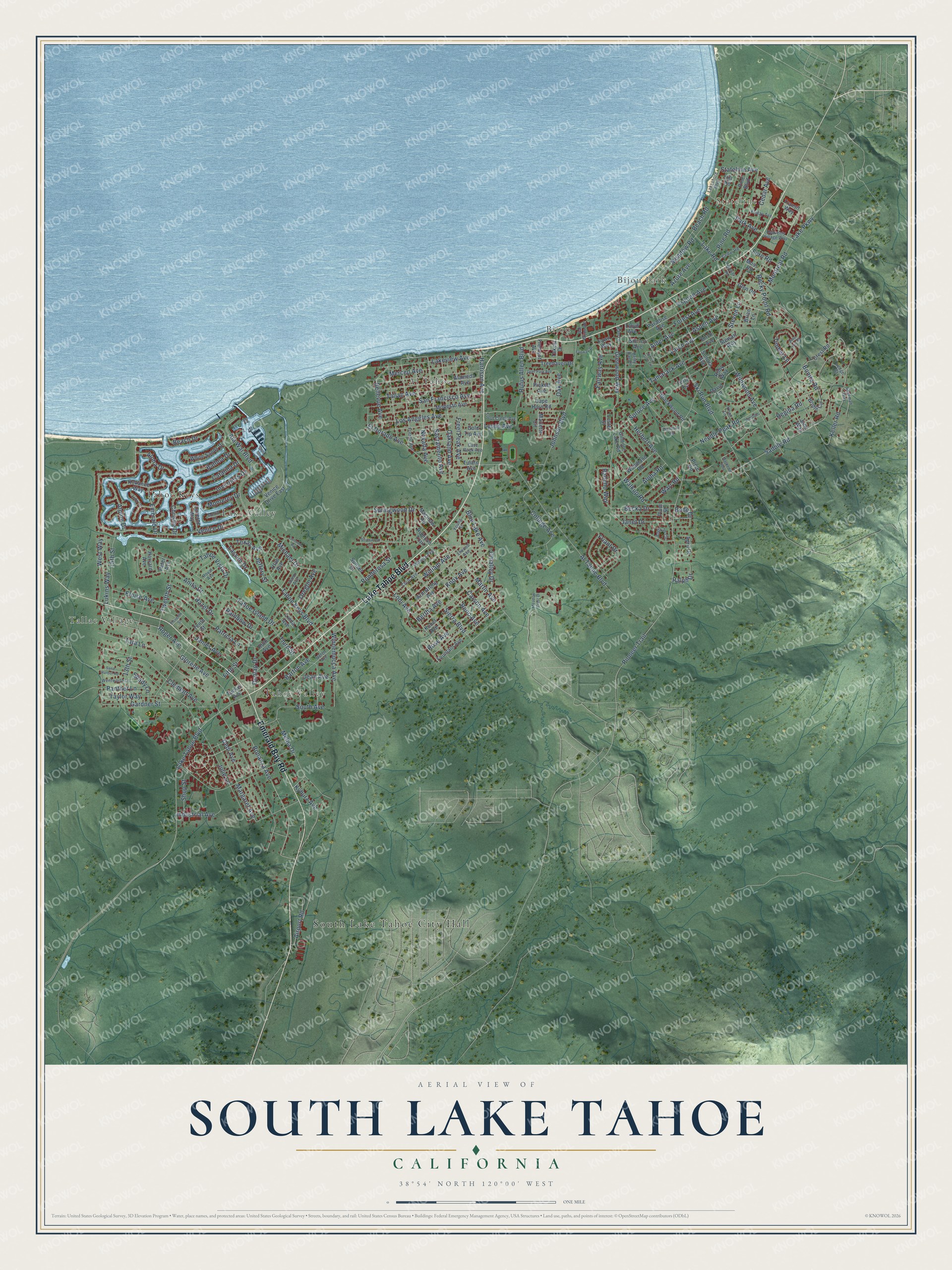
Explore South Lake Tahoe, California from a whole new perspective. Created using aerial imagery and detailed geographic data, this map captures South Lake Tahoe building by building, with labeled streets, familiar landmarks, and shaded topographical relief that highlights the natural contours of the landscape.
Combining modern data with the timeless character of a vintage atlas, this map is just as interesting up close as it is beautiful on the wall. Whether you grew up in South Lake Tahoe, spent memorable years there, or call it home today, this unique map is a great way to celebrate a place that means something to you. Zoom in on the preview to look for your street, and then order a print to put your memories on the wall.
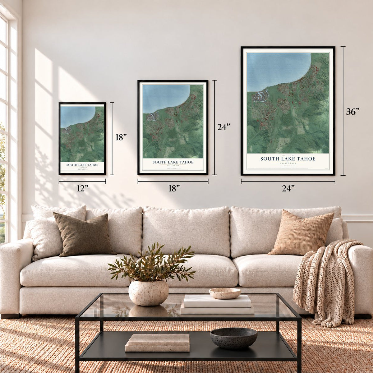
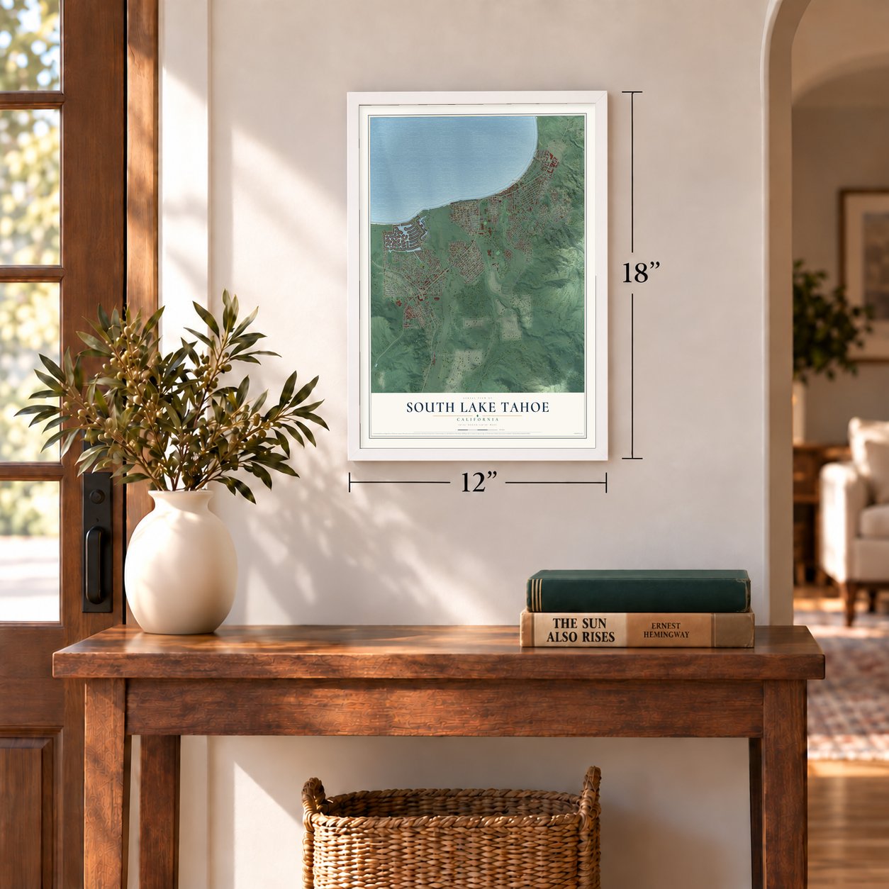
Three ways to hang it
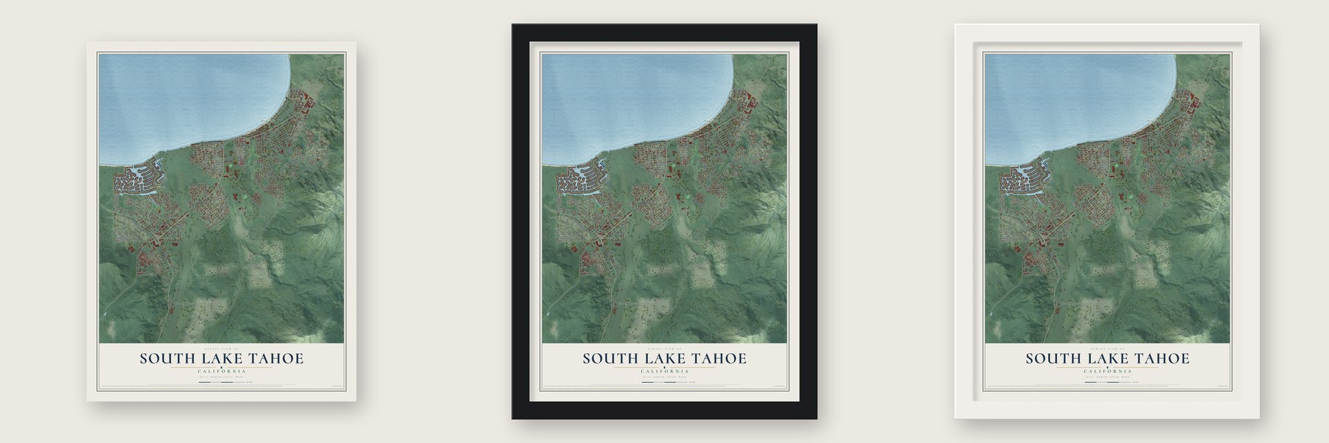
Unframed archival matte, a black wood frame or a white wood frame.
Up close
Geography Worth Displaying
This map was created using accurate cartographic data and authoritative geographic sources, including the U.S. Geological Survey and the Census Bureau. The map brings together terrain, waterways, roads, and building detail. The majority of the streets are labeled, houses are accurately depicted, and the topography is derived from government sources. Combining local data with carefully composed color and shading leads to this beautifully detailed South Lake Tahoe artwork for your wall.
Rather than simply showing street outlines, we’ve included as many of the street names as we could reasonably fit on the map while keeping their names legible. Zoom in on the high resolution preview to see exactly what’s on the map. We truly set out to create a statement piece for anyone who loves South Lake Tahoe. So whether it’s for you, or a gift for someone you love, we hope this map of South Lake Tahoe brings back fond memories.
Read the story behind this map of South Lake Tahoe, California from 2026.
Find your street
Names on the South Lake Tahoe map
Every name below is printed on this map. Look for your street, your school, the park where you played, or the pond down the road.
Places and landmarks9
- South Lake Tahoe City Hall
- Stateline
- Bijou Park
- Bijou
- Al Tahoe
- Lake Valley
- Tahoe Keys
- Tahoe Valley
- Tallac Village
Streets and roads218
- Lake Tahoe Boulevard
- Emerald Bay Road
- Bonanza Avenue
- Michael Drive
- College Avenue
- Pioneer Trail
- Venice Drive
- Tata Lane
- Saddle Road
- Eloise Avenue
- James Avenue
- Tahoe Keys Boulevard
- Glenwood Way
- Keller Road
- Al Tahoe Boulevard
- Wildwood Avenue
- Julie Lane
- Ski Run Boulevard
- Gardner Street
- Tahoe Island Drive
- Johnson Boulevard
- Glorene Avenue
- Herbert Avenue
- Sacramento Avenue
- Los Angeles Avenue
- Ala Wai Boulevard
- Roger Avenue
- Omalley Drive
- Larch Avenue
- Clement Avenue
Show all 218 streets
- Needle Peak Road
- Oakland Avenue
- Azure Avenue
- San Francisco Avenue
- Lodi Avenue
- Melba Drive
- Anita Drive
- 13th Street
- Lakeview Avenue
- Spruce Avenue
- Springwood Drive
- Third Street
- Tallac Avenue
- Patricia Lane
- Meadow Road
- Rocky Point Road
- Knox Avenue
- Nevada Avenue
- William Avenue
- El Dorado Avenue
- Bertha Avenue
- Sierra Boulevard
- Beach Road
- Tahoe Vista Drive
- Merced Avenue
- Forest Avenue
- Reno Avenue
- Carson Avenue
- Park Avenue
- Rose Avenue
- 15th Street
- Dedi Avenue
- Texas Avenue
- Margaret Avenue
- Rufus Allen Boulevard
- Martin Avenue
- Fairway Avenue
- Kyburz Avenue
- Winnemucca Avenue
- Alder Avenue
- Barton Avenue
- Aspen Avenue
- Bellevue Avenue
- Tamarack Avenue
- Regina Road
- Twelfth Street
- Stateline Avenue
- Pine Road
- Dunlap Drive
- Taylor Way
- Osgood Avenue
- Bonita Road
- Beach Drive
- Lukins Way
- West Way
- Walkup Road
- Harrison Avenue
- Cedar Avenue
- Christie Drive
- Airport Road
- Hazel Drive
- Friant Drive
- Montreal Road
- Janet Drive
- Becka Drive
- Freel Peak Avenue
- Timber Lane
- Blue Lake Avenue
- Industrial Avenue
- Ralph Drive
- Inverness Drive
- Jeffery Street
- Emerald Drive
- Lake Road
- Bode Drive
- Alpine Drive
- South Avenue
- Panther Lane
- Aloha Drive
- Shop Street
- Lassen Drive
- Ponderosa Street
- Rancho Way
- Aloha Road
- Shady Lane
- Oregon Avenue
- Catalina Drive
- Warr Road
- Balboa Drive
- Monterey Drive
- Rainbow Drive
- Jean Avenue
- Lyons Avenue
- Fern Road
- Oak Avenue
- Lake Parkway
- Steven Lane
- Fifth Street
- Tulare Avenue
- Modesto Avenue
- Alameda Avenue
- Blackwood Road
- Armstrong Avenue
- Tenth Street
- Paradise Avenue
- Kubel Avenue
- Fountain Avenue
- Sonora Avenue
- Marlette Circle
- Pine Boulevard
- Crest Road
- Glen Road
- Venice Drive East
- Birch Avenue
- Woodland Road
- White Sands Drive
- June Way
- April Drive
- Ruth Avenue
- David Lane
- Pickett Avenue
- Gilmore Lake Road
- Rubicon Trail
- Bridle Circle
- Kokanee Way
- Treehaven Drive
- Cape Horn Road
- Moss Road
- Ruby Way
- Macinaw Road
- Utah Avenue
- Lucerne Way
- Harvard Avenue
- Sunset Drive
- Gold Tip Avenue
- Fremont Avenue
- Shirley Avenue
- Takela Drive
- Terry Lane
- Linda Avenue
- Transit Way
- Lester Street
- Stewart Way
- Fawn Way
- Tucker Avenue
- Plum Street
- Price Road
- Brian Lane
- Lloyd Avenue
- Peter Avenue
- Hill Road
- Elwood Avenue
- Fresno Avenue
- Helen Avenue
- Chris Avenue
- Palmira Avenue
- Trout Creek Avenue
- Wentworth Lane
- Idaho Avenue
- Verdon Lane
- Cedar Road
- Morro Drive
- Heavenly Village Way
- Sherman Way
- Royal Avenue
- Lakeshore Boulevard
- Andy Jo Circle
- Young Street
- Knoll Lane
- Bal Bijou Road
- Cave Rock Avenue
- Friday Avenue
- Betty Rae Lane
- Ham Lane
- Lido Drive
- Ledge Court
- Pine Hill Road
- Colorado Avenue
- Silverwood Circle
- Deer Park Avenue
- Mackedie Way
- Fairway Drive
- Bobby Grey Circle
- Sand Harbor Road
- Midway Road
- Woodbine Road
- Meadow Crest Drive
- Eleventh Street
Names are listed as they appear on the printed map. Zoom into the product photos to find them.
About South Lake Tahoe, California
South Lake Tahoe is a city of 21,330 people in El Dorado County, on the southern shore of Lake Tahoe at about 6,237 feet. In 1944 a gambling house called Harvey's Wagon Wheel Saloon and Gambling Hall started up just across the state line in Nevada, and with it gambling came to Tahoe for the first time. Rival halls soon followed, and the crowds they drew needed places to stay.
By the 1950s crews were plowing the roads all winter, so people could live here year-round. The 1960 Winter Olympics, held at what is now Olympic Valley, made Lake Tahoe the best-known skiing center in the western United States. In 1965 the settlements along the south shore joined to form one city, and a post office opened in 1967.
“It is a name the Tribe would like to gift to El Dorado County and South Lake Tahoe as a symbol of peace, prosperity and goodness.”
- Six communities, one cityUntil 1965, Tallac Village, Tahoe Valley, Al Tahoe, Bijou Park, Bijou and Stateline were separate places with no city government. That year they joined to become South Lake Tahoe, which now runs about 5 miles along the lake on U.S. Route 50.
- The Angora Fire of 2007On June 24, 2007, a fire broke out at Seneca Pond near Meyers, three miles south of the city. It burned more than 3,000 acres and damaged or destroyed more than 275 structures, 254 of them homes, but no one died. Local hotels took in hundreds of evacuees, and the fire was fully contained on July 2. It is the worst forest fire in the recorded history of Lake Tahoe.
- Tahnu Leweh since 2012In 2012 Lakeview Commons Park took a new name offered by the Washoe Tribe. Tahnu Leweh means "all the people's place" in the Washoe language, and the tribe gave it to the city and the county.
Keep exploring California
South Lake Tahoe is one of 1,990 California towns we've mapped. Every dot on the map is a print of its own.
The search covers every state, California first.
Near South Lake Tahoe
Order 2 or more town maps and save 10%. Shown in the size and finish you picked above, so they hang as a set.
- Meyers 12" x 18" / Archival Matte Print $39.99
- Tahoma 12" x 18" / Archival Matte Print $39.99
- Mesa Vista 12" x 18" / Archival Matte Print $39.99
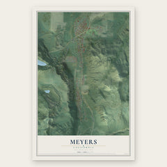

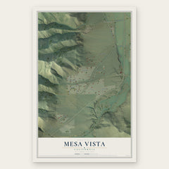
More maps nearby: Alpine Village, Kirkwood, Sunnyside-Tahoe City, Markleeville and Dollar Point.
The art of mapping a place
How This Map Was Made
Real places. Remarkable detail. Discover the layers that turn geographic data into a map of home.

The view from above
Aerial imagery reveals the character of the land: woodland, open fields, and the patterns of a place.

The shape of the land
Elevation data brings hills, valleys, and subtle changes in the landscape into view.

The details of home
Roads, waterways, and building footprints come together to make the map feel unmistakably local.

Geography becomes art
Considered color, shading, and typography bring the layers together in a map made for your wall.


Process illustrated with Mendon, Massachusetts. Aerial imagery: USDA NAIP. Terrain: USGS 3D Elevation Program. Map details and finished artwork: KNOWOL.
The Details
About This Print
Choose an archival matte print, or a black or white Ayous wood frame. The archival matte print is unframed.
Select your size and finish above to see the matching product image and price.
Materials & Craftsmanship
A contemporary map with the character of a classic atlas, printed on archival matte paper. Optional frames are made from Ayous wood.
Your printed map does not include the watermark shown in the full-map preview.
Shipping & Delivery
Free shipping within the United States. Every print is made to order in the USA.
Buying a gift? Add a note in your cart and we'll include it. We never put prices in the package.
Prints ship within 2 to 3 business days. Allow 7 to 10 days total from ordering for delivery. Timing may vary during holidays or periods of high order volume.
Read our shipping policy.
Returns and damaged prints
Each print is made to order. Change-of-mind refunds are not available after production.
If your print arrives damaged, misprinted or incorrect, contact support@knowol.com within 30 days of receiving it. Include your order number, photos and a description of the issue.
Read our full refund and replacement policy. For questions about your order, email support@knowol.com.