
Search for another town
Free U.S. delivery 7 to 10 days after you order
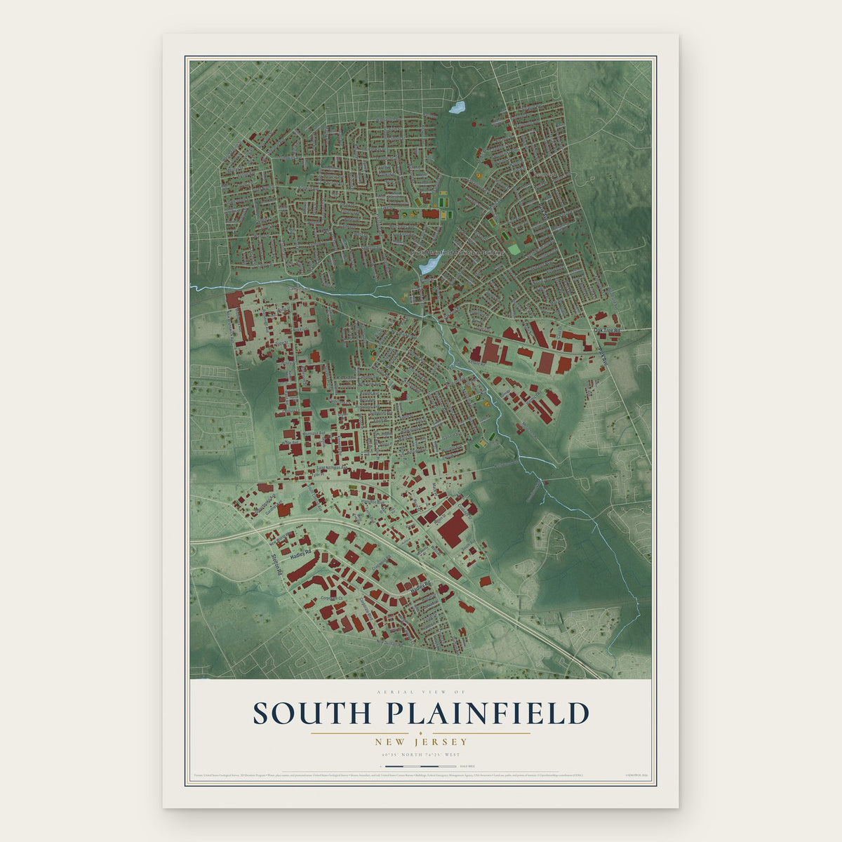
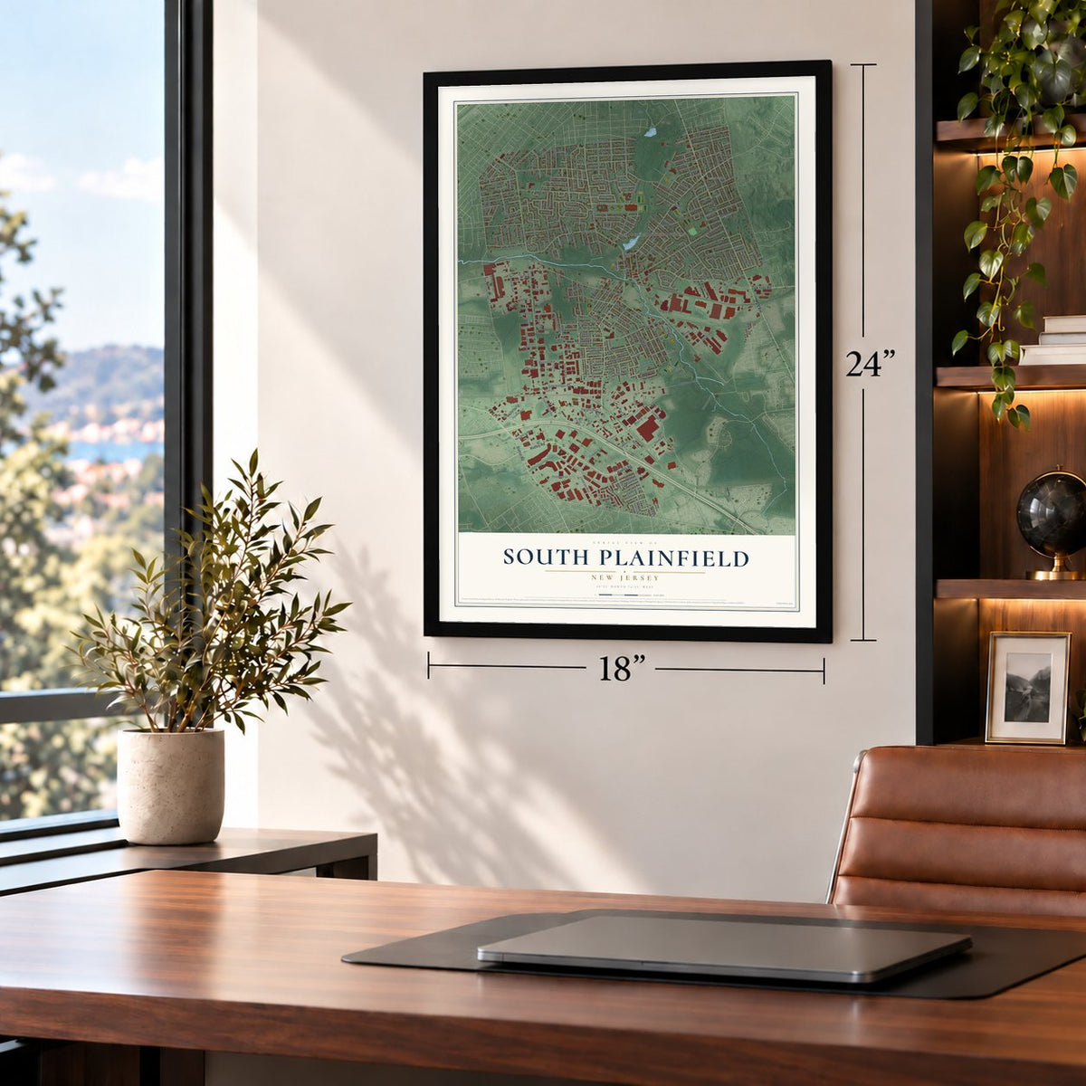
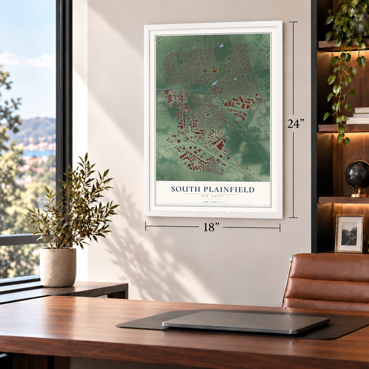
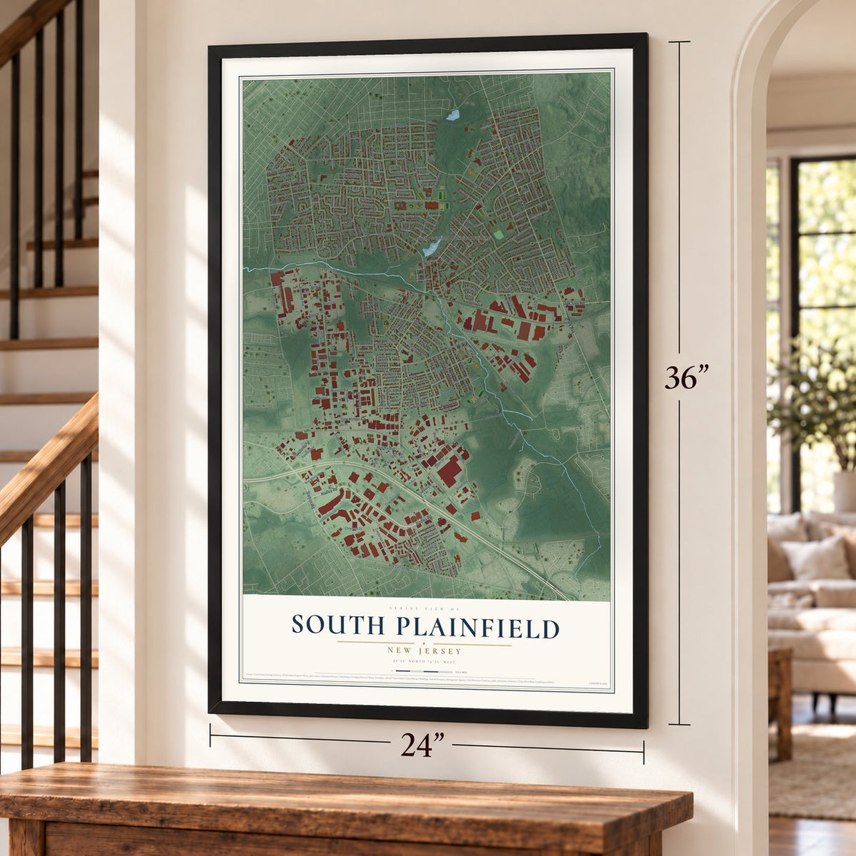
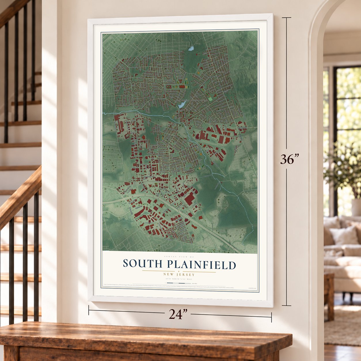
South Plainfield, New Jersey Map Art
Building by building, with labeled streets and shaded relief.
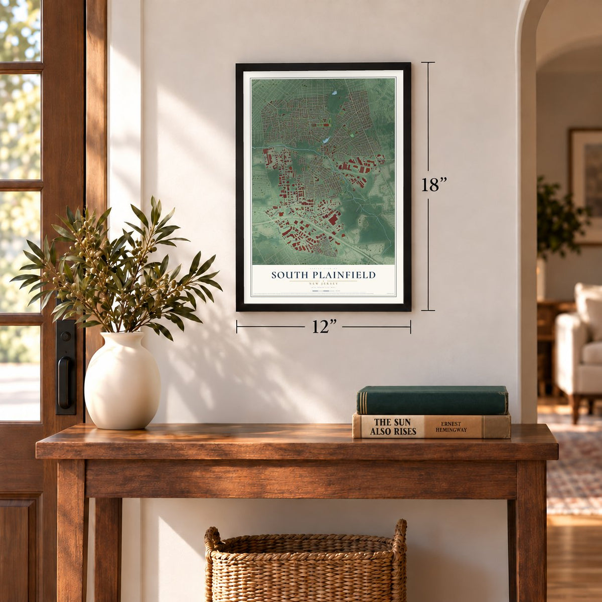
12" x 18" Archival Matte Print
A Map of Home. A Work of Art.
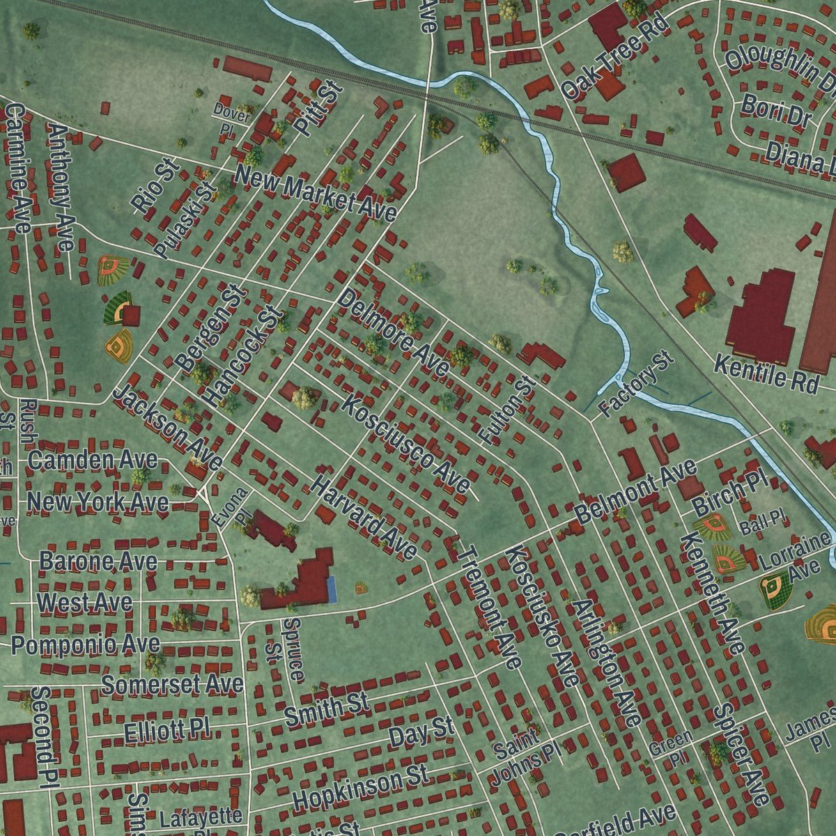
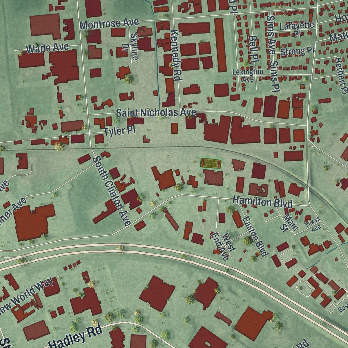
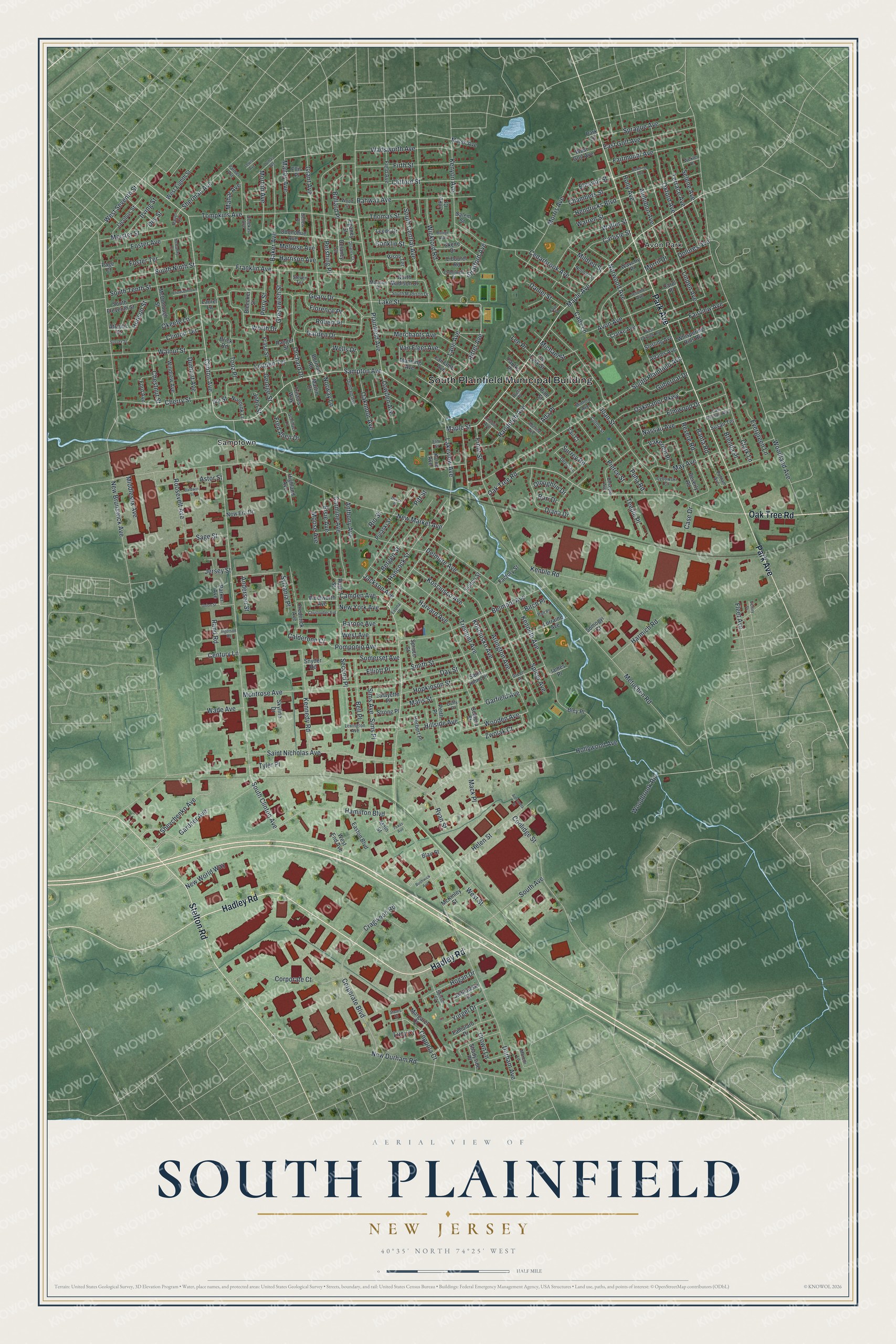
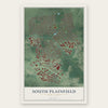
Explore South Plainfield, New Jersey from a whole new perspective. Created using aerial imagery and detailed geographic data, this map captures South Plainfield building by building, with labeled streets, familiar landmarks, and shaded topographical relief that highlights the natural contours of the landscape.
Combining modern data with the timeless character of a vintage atlas, this map is just as interesting up close as it is beautiful on the wall. Whether you grew up in South Plainfield, spent memorable years there, or call it home today, this unique map is a great way to celebrate a place that means something to you. Zoom in on the preview to look for your street, and then order a print to put your memories on the wall.
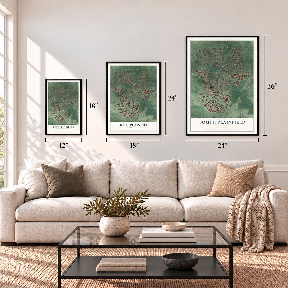
Three ways to hang it
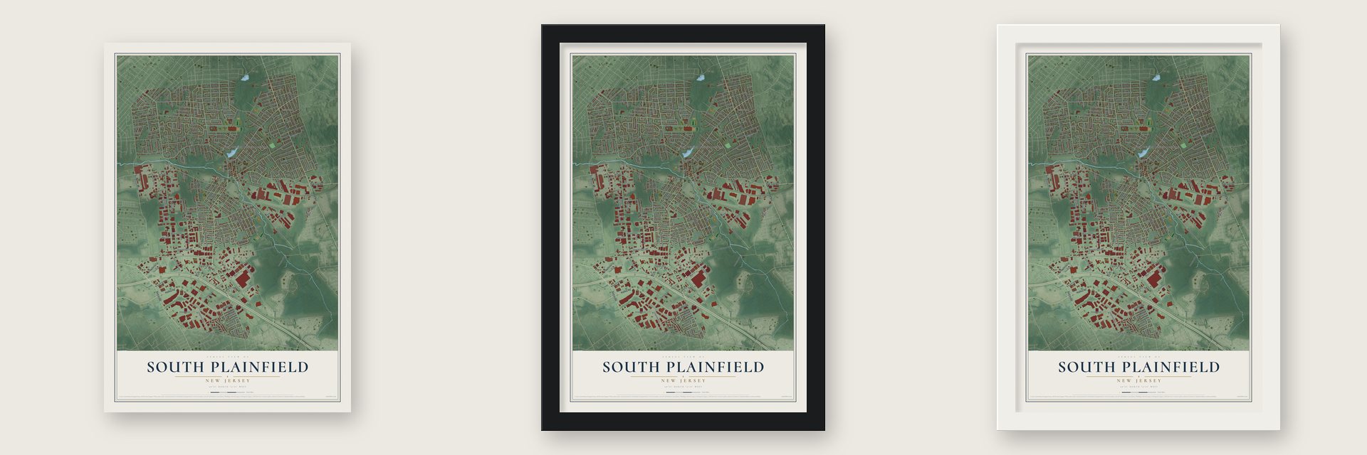
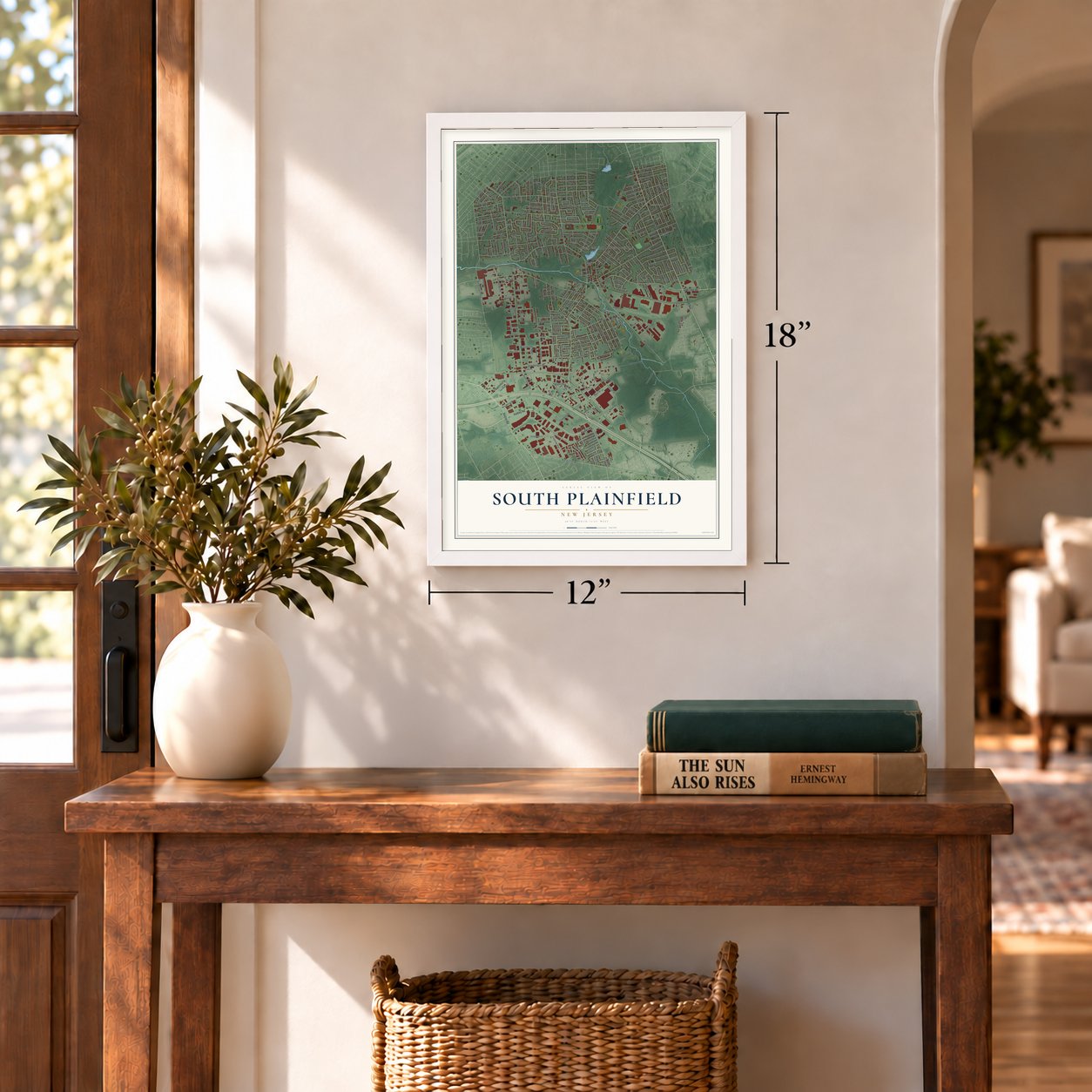
Unframed archival matte, a black wood frame or a white wood frame.
Up close
Geography Worth Displaying
This map was created using accurate cartographic data and authoritative geographic sources, including the U.S. Geological Survey (USGS) and FEMA. The map brings together terrain, waterways, roads, and building detail. The majority of the streets are labeled, houses are accurately depicted, and the topography is derived from government sources. Combining local data with carefully composed color and shading leads to this beautifully detailed South Plainfield artwork for your wall.
Rather than simply showing street outlines, we’ve included as many of the street names as we could reasonably fit on the map while keeping their names legible. Zoom in on the high resolution preview to see exactly what’s on the map. We truly set out to create a statement piece for anyone who loves South Plainfield. So whether it’s for you, or a gift for someone you love, we hope this map of South Plainfield brings back fond memories.
Explore the full map of South Plainfield, New Jersey and read about the local places it shows.
Find your street
Names on the South Plainfield map
Every name below is printed on this map. Look for your street, your school, the park where you played, or the pond down the road.
Places and landmarks3
- South Plainfield Municipal Building
- Avon Park
- Samptown
Streets and roads334
- Hadley Road
- Park Avenue
- Stelton Road
- Oak Tree Road
- Ritter Avenue
- Hamilton Boulevard
- Linden Avenue
- Wooden Avenue
- Maple Street
- Maple Avenue
- Lake Street
- Coppola Court
- Hendricks Boulevard
- New Brunswick Avenue
- Woodland Avenue
- South Clinton Avenue
- New Market Avenue
- Clinton Avenue
- Plainfield Avenue
- Metuchen Road
- Durham Avenue
- South Plainfield Avenue
- New Durham Road
- Joan Street
- Hollywood Avenue
- Delmore Avenue
- Spicer Avenue
- Arlington Avenue
- Harvard Avenue
- Coolidge Street
Show all 334 streets
- Franklin Avenue
- Tompkins Avenue
- Oxford Avenue
- Belmont Avenue
- Sampton Avenue
- Tremont Avenue
- Montrose Avenue
- Cedarbrook Avenue
- Saint Nicholas Avenue
- Wadsworth Avenue
- Grant Avenue
- Kosciusko Avenue
- Pershing Place
- Pitt Street
- Kenyon Avenue
- Jackson Avenue
- Corporate Boulevard
- Kentile Road
- Second Place
- Kenneth Avenue
- Audubon Avenue
- Corporate Court
- Clifford Street
- Norwood Avenue
- Tooz Place
- Firth Street
- Kosciusco Avenue
- Tyler Place
- Clark Lane
- Worth Drive
- Rahway Avenue
- Baker Avenue
- South Central Avenue
- Kennedy Road
- Geary Drive
- Bergen Street
- Merchants Avenue
- Oakmanor Parkway
- Helen Street
- Hancock Street
- Holly Avenue
- Gardner Avenue
- Sprague Avenue
- Cherry Street
- East Golf Avenue
- Walnut Street
- South Tenth Street
- South Ninth Street
- Foster Avenue
- Fairmount Avenue
- Pomponio Avenue
- Sylvania Place
- Walter Street
- Ledden Terrace
- Van Fleet Avenue
- Shevchenko Avenue
- Terrace Avenue
- Ryan Street
- Elmwood Drive
- Morris Avenue
- Lakeview Avenue
- Garden Drive
- Orchard Drive
- Carmine Avenue
- Front Street
- Lane Avenue
- Carlisle Street
- Wickford Road
- Bullard Place
- Bell Place
- Astor Street
- Smith Street
- Avon Avenue
- May Avenue
- West Seventh Street
- Randolph Avenue
- Diana Drive
- West Street
- South Avenue
- Pierce Street
- Mildred Street
- Revere Road
- Meister Street
- Roosevelt Avenue
- Matis Street
- Sherman Avenue
- Elsie Avenue
- Somerset Avenue
- Harmich Road
- Harrison Avenue
- Hogan Drive
- Nassau Avenue
- Selene Avenue
- Robert Place
- Fairview Avenue
- Zwolak Court
- Hillside Avenue
- Hopkinson Street
- Fred Allen Drive
- Garfield Avenue
- West Avenue
- Conklin Street
- Morton Avenue
- Oakmoor Avenue
- Stratford Avenue
- Greenwich Street
- Irving Street
- Chambers Street
- Melrose Avenue
- Florence Place
- Woodbrook Road
- Day Street
- Crown Lane
- Barone Avenue
- Lowden Avenue
- Wells Drive
- New York Avenue
- Maltby Avenue
- Ivy Street
- Cragwood Road
- Sims Avenue
- Sims Place
- Gubernat Drive
- Middlesex Avenue
- Jersey Street
- Chestnut Street
- Sage Street
- Calderone Court
- New World Way
- Evergreen Lane
- Banta Road
- Warren Street
- Dumont Avenue
- Thomas Street
- Yurgel Drive
- Vakerich Place
- Daniel Street
- Perry Street
- Teeple Place
- Wade Avenue
- Brenda Place
- Michael Street
- Elliott Place
- Anthony Avenue
- Clinton Terrace
- Century Lane
- Puha Road
- Okeefe Lane
- Eleanor Street
- Hudson Street
- Camden Avenue
- Lucy Court
- Mack Place
- Surrey Road
- Oloughlin Drive
- Norway Lane
- Mahar Avenue
- Cady Lane
- Anderson Street
- George Street
- Foster Terrace
- Rand Road
- Dolores Avenue
- Moose Avenue
- Morril Drive
- Fleet Avenue
- Ada Place
- Case Drive
- Lee Place
- Birch Place
- Bori Drive
- Dey Street
- John Street
- Rio Street
- Delancy Court
- North Madison Drive
- Odonohue Avenue
- Field Avenue
- Ten Eyck Street
- Lorraine Avenue
- Beverly Road
- Clarke Avenue
- Risoli Terrace
- McDonough Street
- Parker Avenue
- Whispering Hills Road
- Manning Avenue
- Pulaski Street
- Frederick Avenue
- Margaret Court
- Jacobus Street
- Windrew Avenue
- Famularo Drive
- Leeds Drive
- Blair Street
- South Eleventh Street
- Easton Boulevard
- West End Avenue
- Woolworth Avenue
- Libourel Road
- McKinley Street
- West Eighth Street
- Pine Street
- Perth Place
- Frase Street
- Saint Johns Place
- Rush Street
- West Golf Avenue
- Nunnink Lane
- Highland Avenue
- Waverly Place
- Sterling Avenue
- Adams Avenue
- Fairlamb Avenue
- Jankowski Court
- Lafayette Place
- Trista's Way
- Skene Drive
- New Era Drive
- Factory Street
- Shadyside Place
- Ranger Street
- Strong Place
- Skyline Drive
- Spruce Street
- Herbert Place
- Marsh Avenue
- Susan Terrace
- Atlantic Street
- Main Street
- Eganey Street
- Kaine Avenue
- Bleecker Street
- Fulton Street
- Ford Avenue
- Ellis Place
- Martin Drive
- Somogyi Court
- Snyder Road
- Borman Road
- Scalera Street
- Faulks Place
- James Place
- Salem Street
- Bley Place
- Laurel Lane
- Vail Court
- Carol Place
- Linke Court
- Brick Road
- Park Lane
- Page Court
- Desepio Avenue
- Adeline Avenue
- Lexington Avenue
- Palmer Avenue
- Putnam Avenue
- South Madison Drive
- Minford Avenue
- Dunham Avenue
- Cotton Street
- Green Place
- Cromwell Place
- Steven Terrace
- Schillaci Lane
- Jerome Avenue
- Moretti Lane
- Devon Lane
- East Nassau Avenue
- Norman Street
- Ball Place
- Lincoln Avenue
- Bellew Place
- Cybowski Court
- Duffy Place
- Wood Street
- Elm Street
- Delekas Avenue
- Madison Drive
- Wexler Place
- Rauer Court
- Spisso Court
- Evona Place
- Brett Place
- Redding Avenue
- Delaney Court
- West Fairview Avenue
- Christopher Avenue
- Dumas Avenue
- Elizabethtown Court
- Bolliger Way
- Faye Street
- Ingersoll Road
- Sussex Street
- Baldwin Street
- McCarthy Court
- Union Street
- Bushwick Avenue
- Antonetta Street
- Victory Street
- Texas Avenue
- Staats Court
- Lewis Avenue
- Dover Place
Names are listed as they appear on the printed map. Zoom into the product photos to find them.
About South Plainfield, New Jersey
South Plainfield is a New Jersey community. The 2020 census counted 24,338 residents.
- 24,338 residentsThat was the community population recorded by the 2020 United States census.
- Municipal roots in 1926New Jersey incorporated the municipality in 1926 from part of Piscataway Township.
Keep exploring New Jersey
South Plainfield is one of 990 New Jersey towns we've mapped. Every dot on the map is a print of its own.
The search covers every state, New Jersey first.
Near South Plainfield
Order 2 or more town maps and save 10%. Shown in the size and finish you picked above, so they hang as a set.
- Oak Tree 12" x 18" / Archival Matte Print $39.99
- Plainfield 12" x 18" / Archival Matte Print $39.99
- Dunellen 12" x 18" / Archival Matte Print $39.99
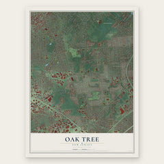
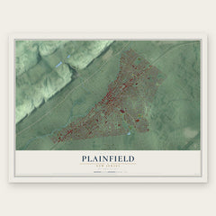
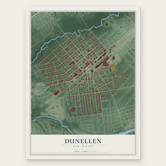
More maps nearby: Randolphville, Piscataway, North Plainfield, Metuchen and Menlo Park.
The art of mapping a place
How This Map Was Made
Real places. Remarkable detail. Discover the layers that turn geographic data into a map of home.

The view from above
Aerial imagery reveals the character of the land: woodland, open fields, and the patterns of a place.

The shape of the land
Elevation data brings hills, valleys, and subtle changes in the landscape into view.

The details of home
Roads, waterways, and building footprints come together to make the map feel unmistakably local.

Geography becomes art
Considered color, shading, and typography bring the layers together in a map made for your wall.


Process illustrated with Mendon, Massachusetts. Aerial imagery: USDA NAIP. Terrain: USGS 3D Elevation Program. Map details and finished artwork: KNOWOL.
The Details
About This Print
Choose an archival matte print, or a black or white Ayous wood frame. The archival matte print is unframed.
Select your size and finish above to see the matching product image and price.
Materials & Craftsmanship
A contemporary map with the character of a classic atlas, printed on archival matte paper. Optional frames are made from Ayous wood.
Your printed map does not include the watermark shown in the full-map preview.
Shipping & Delivery
Free shipping within the United States. Every print is made to order in the USA.
Buying a gift? Add a note in your cart and we'll include it. We never put prices in the package.
Prints ship within 2 to 3 business days. Allow 7 to 10 days total from ordering for delivery. Timing may vary during holidays or periods of high order volume.
Read our shipping policy.
Returns and damaged prints
Each print is made to order. Change-of-mind refunds are not available after production.
If your print arrives damaged, misprinted or incorrect, contact support@knowol.com within 30 days of receiving it. Include your order number, photos and a description of the issue.
Read our full refund and replacement policy. For questions about your order, email support@knowol.com.