
Search for another town

Free U.S. delivery 7 to 10 days after you order
City of Southfield, Michigan Map Art
Building by building, with labeled streets and shaded relief.
12" x 18" Archival Matte Print
A Map of Home. A Work of Art.
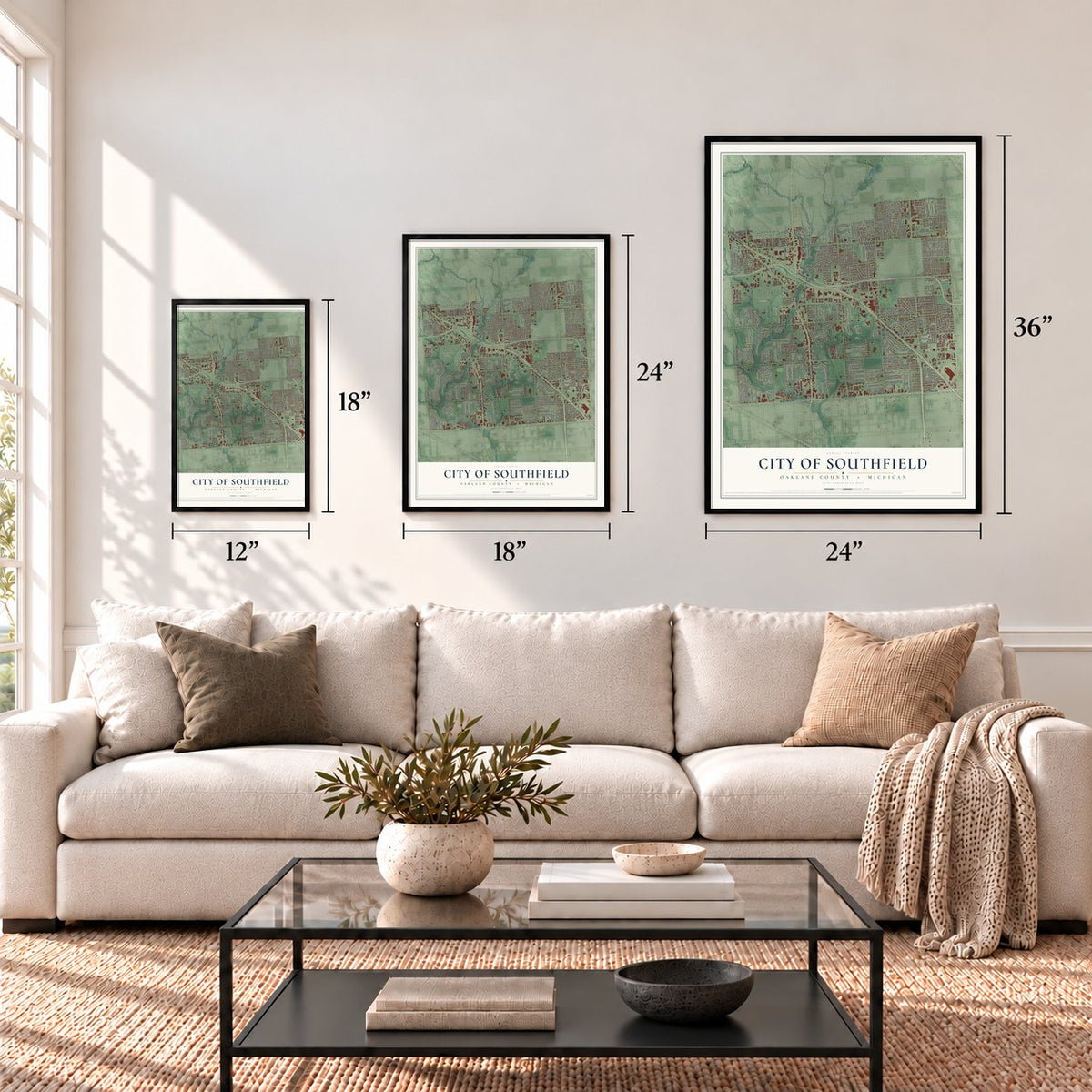
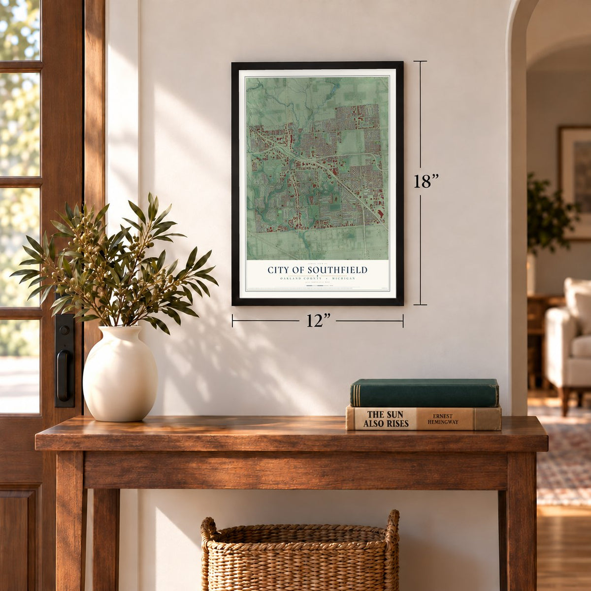
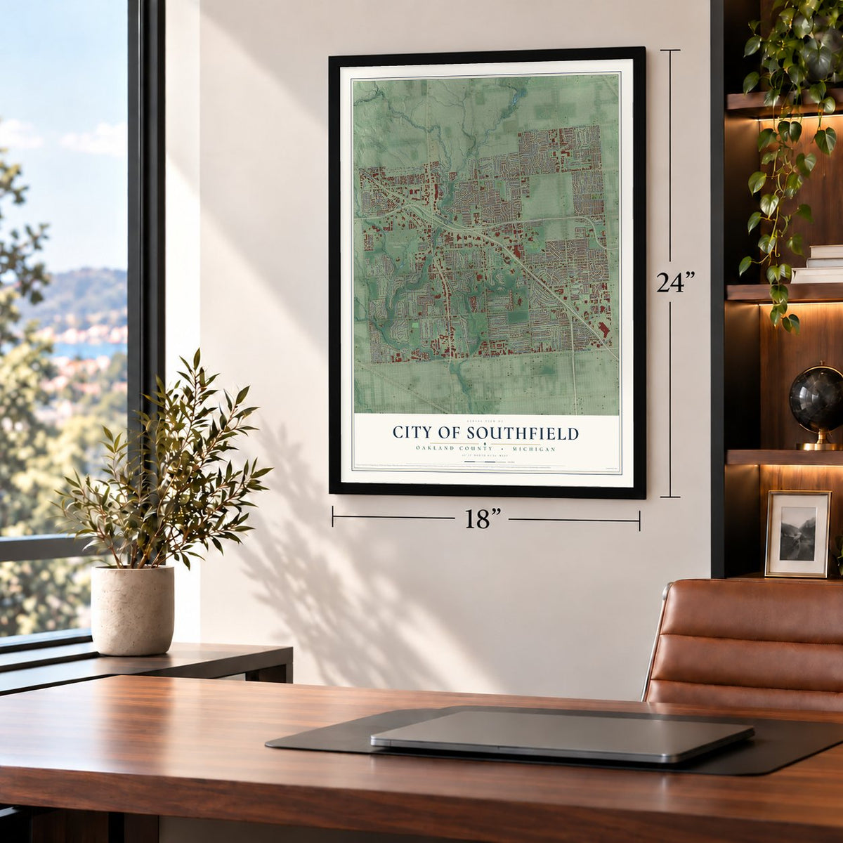
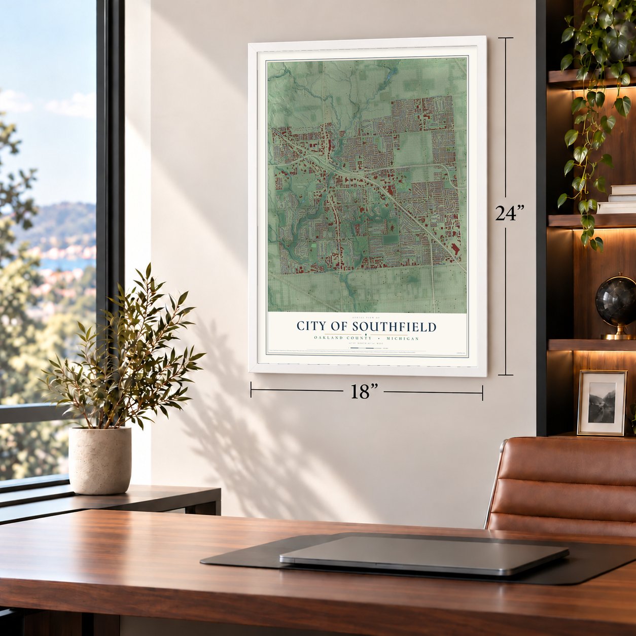
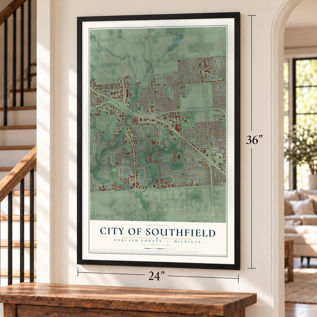
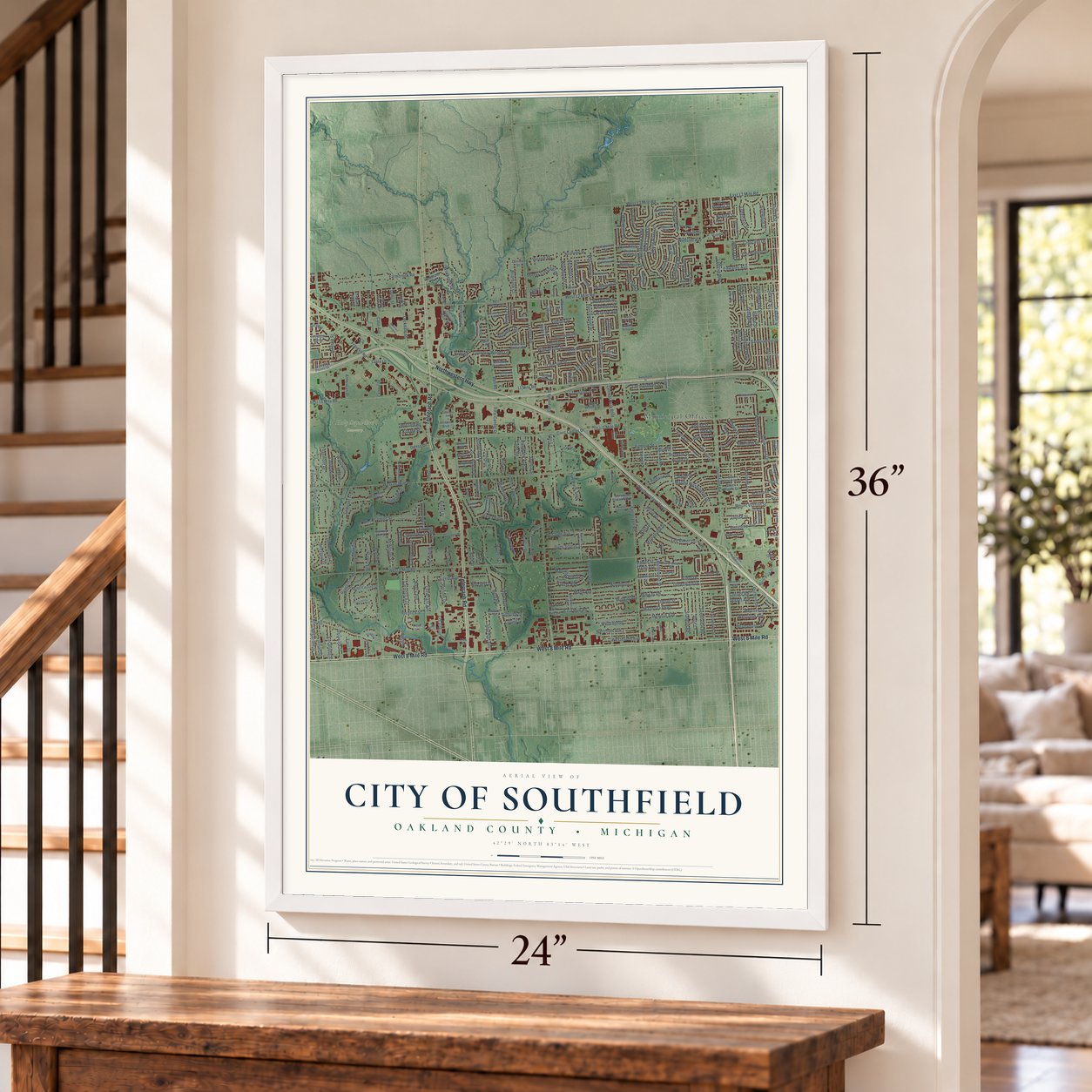
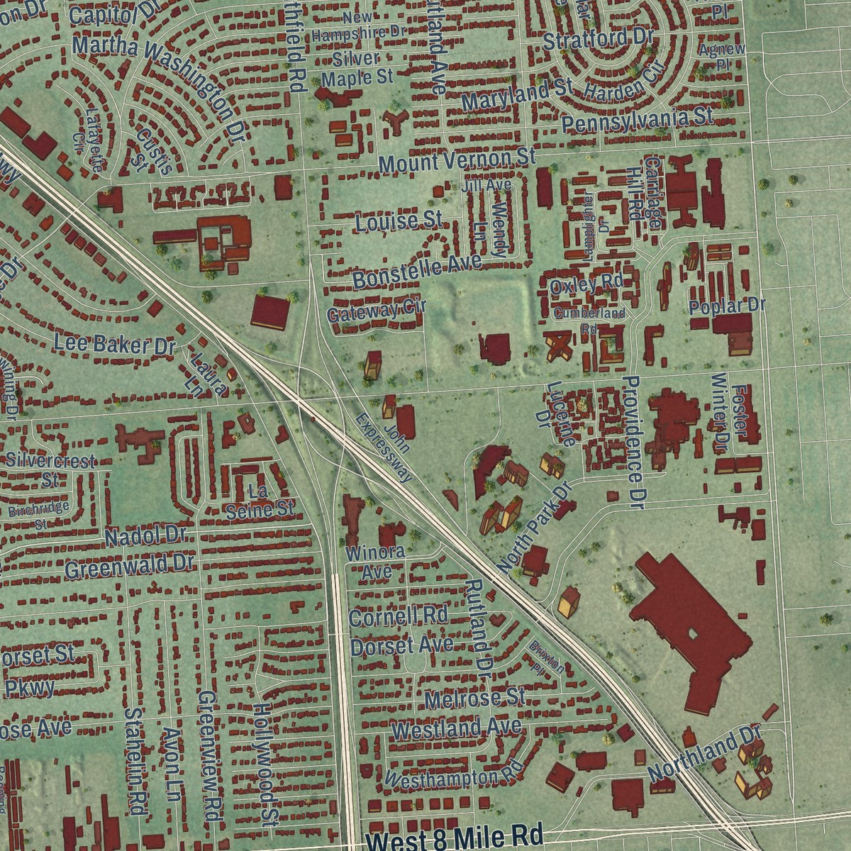
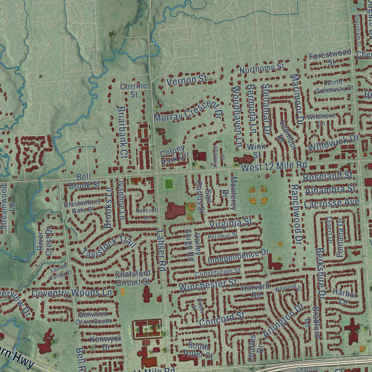
Explore Southfield, Michigan from a whole new perspective. Created using aerial imagery and detailed geographic data, this map captures Southfield building by building, with labeled streets, familiar landmarks, and shaded topographical relief that highlights the natural contours of the landscape.
Combining modern data with the timeless character of a vintage atlas, this map is just as interesting up close as it is beautiful on the wall. Whether you grew up in Southfield, spent memorable years there, or call it home today, this unique map is a great way to celebrate a place that means something to you. Zoom in on the preview to look for your street, and then order a print to put your memories on the wall.

Three ways to hang it
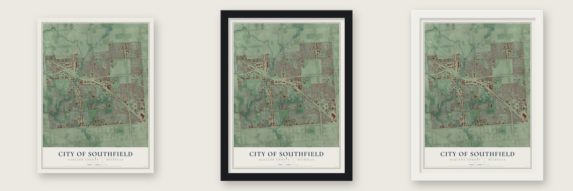
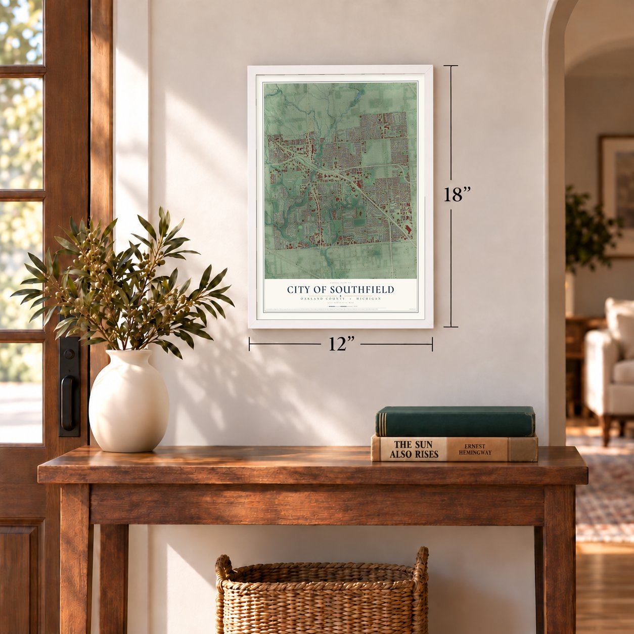
Unframed archival matte, a black wood frame or a white wood frame.
Up close
Geography Worth Displaying
This map was created using accurate cartographic data and authoritative geographic sources, including the U.S. Geological Survey and the Census Bureau. The map brings together terrain, waterways, roads, and building detail. The majority of the streets are labeled, houses are accurately depicted, and the topography is derived from government sources. Combining local data with carefully composed color and shading leads to this beautifully detailed Southfield artwork for your wall.
Rather than simply showing street outlines, we’ve included as many of the street names as we could reasonably fit on the map while keeping their names legible. Zoom in on the high resolution preview to see exactly what’s on the map. We truly set out to create a statement piece for anyone who loves Southfield. So whether it’s for you, or a gift for someone you love, we hope this map of Southfield brings back fond memories.
Read the story behind this map of the City of Southfield, Michigan from 2026.

Find your street
Names on the Southfield map
Every name below is printed on this map. Look for your street, your school, the park where you played, or the pond down the road.
Places and landmarks2
- Municipal Offices
- Holy Sepulchre Cemetery
Streets and roads386
- Telegraph Road
- West 8 Mile Road
- Northwestern Highway
- Greenfield Road
- Lahser Road
- Southfield Road
- Nadol Drive
- Mapleridge Drive
- Lincoln Drive
- Bonstelle Avenue
- West 9 Mile Road
- West 12 Mile Road
- West 10 Mile Road
- West 11 Mile Road
- Evergreen Road
- Inkster Road
- Civic Center Drive
- Pierce Street
- Berg Road
- Fairfax Street
- Franklin Road
- Beech Road
- West 13 Mile Road
- Melrose Avenue
- Everett Street
- Marshall Street
- Providence Drive
- Mount Vernon Street
- Jeanette Street
- Shiawassee Road
Show all 386 streets
- Midway Avenue
- 11 Mile Road
- Brentwood Street
- Central Park Boulevard
- Lee Baker Drive
- Farmbrook Road
- Northland Drive
- Melrose Street
- Rock Creek Drive
- McAllister Street
- Rutland Avenue
- Coral Gables Street
- Webster Avenue
- Tavistock Trail
- Mada Avenue
- Winchester Street
- Stratford Drive
- Mulberry Drive
- Hunters Lane
- Bell Road
- Aberdeen Street
- Sutherland Street
- Edwards Avenue
- Greenwald Drive
- Greenview Road
- Hilton Drive
- Addison Street
- Edgemont Drive
- Seminole Street
- Magnolia Parkway
- Murray Crescent Drive
- Lathrup Street
- Red Leaf Lane
- Lois Lane
- Poinciana Street
- Alta Vista Drive
- Selkirk Street
- Dorset Street
- Brooks Lane
- Goldwin Street
- Northgate Drive
- Pennsylvania Street
- Avon Lane
- Negaunee Street
- Westland Avenue
- Berkshire Drive
- Samoset Trail
- Indian Street
- Rambling Road
- Lake Ravines Drive
- Filmore Street
- Edinburgh Street
- San Quentin Drive
- Westbrook Parkway
- Prescott Street
- Arlington Drive
- Lathrup Boulevard
- Maplewood Drive
- Westover Avenue
- Stahelin Road
- Carleton Avenue
- Hilton Street
- Rutland Drive
- Maryland Street
- Spring River Drive
- Addison Drive
- Westhaven Avenue
- East 13 Mile Road
- Cornell Road
- American Drive
- Sargent Avenue
- Philip Drive
- Wildbrook Drive
- Larkins Street
- Duns Scotus Street
- McClung Avenue
- Woodgate Drive
- Concourse
- Marimoor Drive
- Coventry Woods Lane
- Oak Glen Drive
- San Marino Drive
- Adrian Street
- Ranchwood Drive
- East Kalong Circle
- Valley View Drive
- West Kalong Circle
- Gleneyrie Drive
- Frazer Avenue
- Concord Street
- Fairway Drive
- Midway Road
- Martha Washington Drive
- Tamarack Trail
- Thorncliffe Street
- Waycross
- Woodburn
- Sherfield Place
- Woodvilla Place
- Westland Drive
- Glasgow Street
- Stuart Avenue
- Southwood Drive
- Lexington Parkway
- Acacia Street
- Leewright Avenue
- Rougemont Drive
- Mahon
- Nancy Avenue
- Balewood Street
- Bermuda Lane
- Bridge Street
- Stonycroft Drive
- Briarbank Court
- Lockdale Street
- Lindenwood Lane
- Stellamar Drive
- Kinsel Street
- Sherman Avenue
- Buttercrest Street
- Staunton Street
- Ingleside Drive
- Thorndyke Street
- Code Road
- Briarbank Avenue
- Virginia Street
- Hollywood Street
- Wallace Drive
- Riverside Drive
- Friar Lane
- Woodhaven Lane
- Dunbar Street
- Ravine Street
- Prosper Drive
- Van Buren Street
- Dorset Avenue
- Green Valley Street
- Longcrest Street
- Guy Street
- Sutton Drive
- Outwood Street
- Mulroy Drive
- Maitrott Street
- Wrexford Drive
- Crescent Drive
- Nadora Street
- Plum Hollow Street
- Delaware Street
- First Center Drive
- Willowick Drive
- Louise Street
- Alhambra Street
- Lacrosse Avenue
- Roseland Street
- Garner Street
- Butternut Lane
- East Street
- Case Avenue
- Fredrick Street
- Corporate Drive
- Pebbleview
- Norcrest Drive
- Onyx Street
- Heritage Lane
- Vernon Street
- Tyler Street
- Centre Drive
- Denso Drive
- Bush Street
- Almira Street
- Riverview Drive
- Capitol Drive
- Ormond Drive
- Kildare Street
- Red Leaf Drive
- Golfview Drive
- Mahon Street
- South Drive
- Dufty Street
- Noel Drive
- Violet Drive
- Revere Street
- Clara Lane
- Winora Avenue
- South Villa Drive
- Tiffany Drive East
- North Park Drive
- Franklin Pointe Drive
- Forestview Drive
- Catalpa Drive
- Wiltshire Boulevard
- San Quentin Street
- Harvard Road
- Gateway Circle
- Knob Woods Drive
- San Rosa Avenue
- Woodland Drive
- Circle Drive
- Hazelhurst Street
- Cambridge Avenue
- Chatsford Circuit Street
- Red River Drive
- Harden Circle
- 8.5 Mile Road
- Brandywynne Street
- Kensington Court
- Adrian Road
- Catalina Drive
- Westhampton Road
- Independence Drive
- Franklin River Drive
- Ivanhoe Lane
- Spring Hill Drive
- Hickory Leaf Street
- Colony Park Circle
- Fall River Road
- Oxley Road
- Stanford Drive West
- Red Maple Lane
- River Crest Drive
- Leemoor Drive
- Peekskill
- Fontana Drive
- East Bedford Street
- Filmore Place
- Bell Brook Street
- Sunnypoint Drive
- Meadowood Avenue
- Northome Street
- Grodan Drive
- Somerset Drive
- Farmbrook Villa Drive
- Lucerne Drive
- Forestwood Street
- Southgate Drive
- Silvercrest Street
- South Tuller Court
- Streamwood Lane
- Foster Winter Drive
- Cherry Hill Street
- San Carlos Street
- Bradford Lane
- Poplar Drive
- Saxton Avenue
- Churches Street
- Muerland Road
- Silver Maple Street
- Wink Street
- Autumn Lane
- Saint James
- Wakedon Street
- River Heights Street
- Isleworth Pointe
- Norwood Street North
- Cottage Drive
- Kenwyck Drive
- Village Road
- Sharidale Street
- Monterey Drive
- Templar Avenue
- Franklin Hills Drive
- Laura Lane
- Bentler Street
- Rampart Circle
- Harbor Lane
- Rouge Court
- Adelein Drive
- Hazen Street
- Ridge Cliff Drive
- Valley Forge Road
- Hooper Boulevard
- Hickory Hill Street
- La Seine Street
- Carriage Hill Road
- Wendy Lane
- Helen Street
- Corrine Street
- Goldwin Place
- Charles Drive
- Oliver Court
- Link Road
- Millard Street
- Custis Street
- Brazil Avenue
- Arbor Place
- Lilac Lane
- John Expressway
- Mapleridge Avenue
- East Goldwin Street
- North Villa Drive
- Pleasant Trail
- New Hampshire Drive
- Sparkleberry Drive
- Rockingham Street
- Rougewood Drive
- Spring-Arbor Drive
- Constitution Street
- Strawberry Lane
- Rackham Street
- Parsons Drive
- Russell Street
- Wildhern Lane
- Ranch Hill Drive West
- Lafayette Circle
- North Drive
- Twining Drive
- Pebblebrook Street
- Tapert Drive
- Greenbrooke Drive
- Bellwood Drive South
- Sedalia Avenue
- North Greenway Drive
- Glastonbury Gate Street
- Lancaster Drive
- Evans Street
- Cedarcroft Place
- Park Lane
- Walden Court
- Keefer Street
- Kesh Avenue
- Simmons Avenue
- Town Center
- Spring Arbor Drive
- Audrey Lane
- Beech Court
- Agnew Place
- Jill Avenue
- Jorand Street
- Villa
- Santa Barbara Drive
- Galleria Officentre
- Potomac Street
- Hilltop Street
- Birchridge Street
- Beck Road
- Fairfield Road
- Goldwin Drive
- Glenside Street
- Charlton Square
- Albert Avenue
- Norwood Drive South
- Wayland Street
- Shoreham Street
- Rose Hollow
- Laurel Valley Street
- Cumberland Road
- Sunnybrook Street
- Oldham Road
- Lamplighter Drive
- Oxford Drive
- Brookside Drive
- Pinetree Drive
- Dover Street
- Hallcroft Lane
- Boening Drive
- Brixton Place
Names are listed as they appear on the printed map. Zoom into the product photos to find them.
About the City of Southfield, Michigan
From the History of Oakland County: "In the summer of 1829, Dillucena Stoughton built a brick house, which was not only the first of that construction in Southfield, but is said to have been the first in the county of Oakland."
Keep exploring Michigan
City of Southfield is one of 2,031 Michigan towns we've mapped. Every dot on the map is a print of its own.
The search covers every state, Michigan first.
Near City of Southfield
Order 2 or more town maps and save 10%. Shown in the size and finish you picked above, so they hang as a set.
- Lathrup Village 12" x 18" / Archival Matte Print $39.99
- Bingham Farms 12" x 18" / Archival Matte Print $39.99
- Southfield Township 12" x 18" / Archival Matte Print $39.99


More maps nearby: Beverly Hills, Franklin, Oak Park, Berkley and Huntington Woods.
The art of mapping a place
How This Map Was Made
Real places. Remarkable detail. Discover the layers that turn geographic data into a map of home.

The view from above
Aerial imagery reveals the character of the land: woodland, open fields, and the patterns of a place.

The shape of the land
Elevation data brings hills, valleys, and subtle changes in the landscape into view.

The details of home
Roads, waterways, and building footprints come together to make the map feel unmistakably local.

Geography becomes art
Considered color, shading, and typography bring the layers together in a map made for your wall.


Process illustrated with Mendon, Massachusetts. Aerial imagery: USDA NAIP. Terrain: USGS 3D Elevation Program. Map details and finished artwork: KNOWOL.
The Details
About This Print
Choose an archival matte print, or a black or white Ayous wood frame. The archival matte print is unframed.
Select your size and finish above to see the matching product image and price.
Materials & Craftsmanship
A contemporary map with the character of a classic atlas, printed on archival matte paper. Optional frames are made from Ayous wood.
Your printed map does not include the watermark shown in the full-map preview.
Shipping & Delivery
Free shipping within the United States. Every print is made to order in the USA.
Buying a gift? Add a note in your cart and we'll include it. We never put prices in the package.
Prints ship within 2 to 3 business days. Allow 7 to 10 days total from ordering for delivery. Timing may vary during holidays or periods of high order volume.
Read our shipping policy.
Returns and damaged prints
Each print is made to order. Change-of-mind refunds are not available after production.
If your print arrives damaged, misprinted or incorrect, contact support@knowol.com within 30 days of receiving it. Include your order number, photos and a description of the issue.
Read our full refund and replacement policy. For questions about your order, email support@knowol.com.