
Search for another town

Free U.S. delivery 7 to 10 days after you order
Spanish Lake, Missouri Map Art
Building by building, with labeled streets and shaded relief.
12" x 18" Archival Matte Print
A Map of Home. A Work of Art.
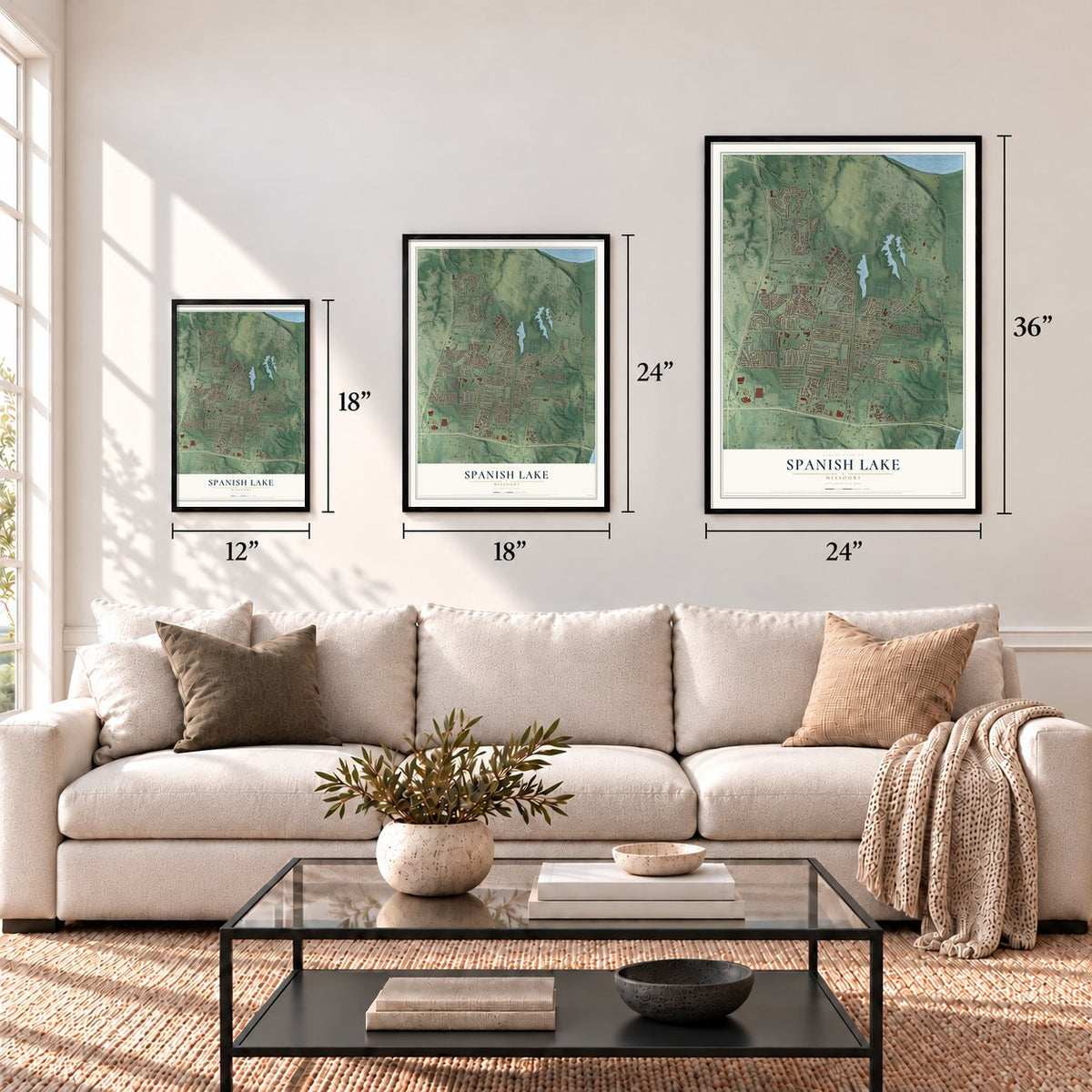
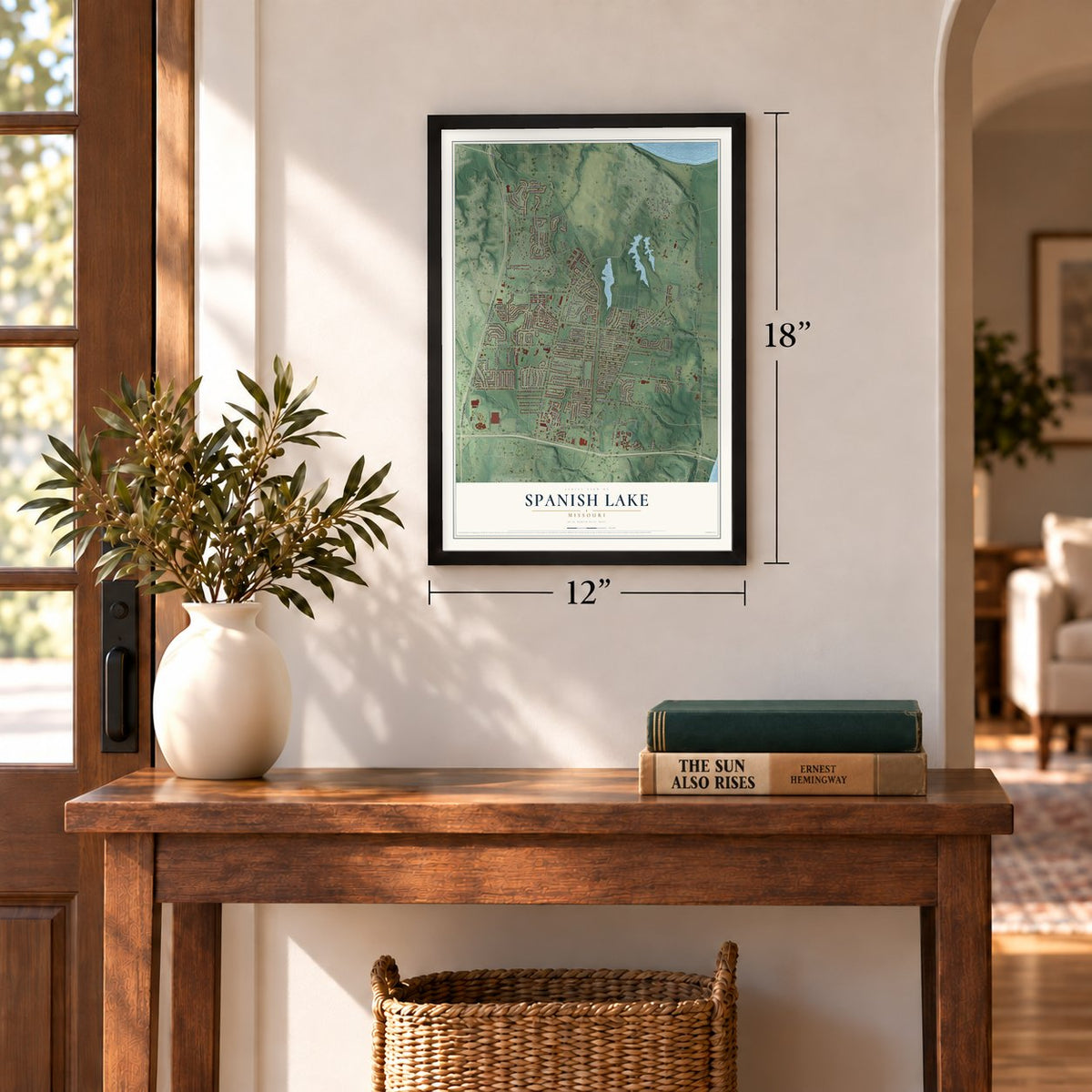
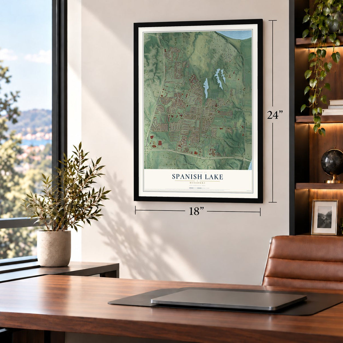
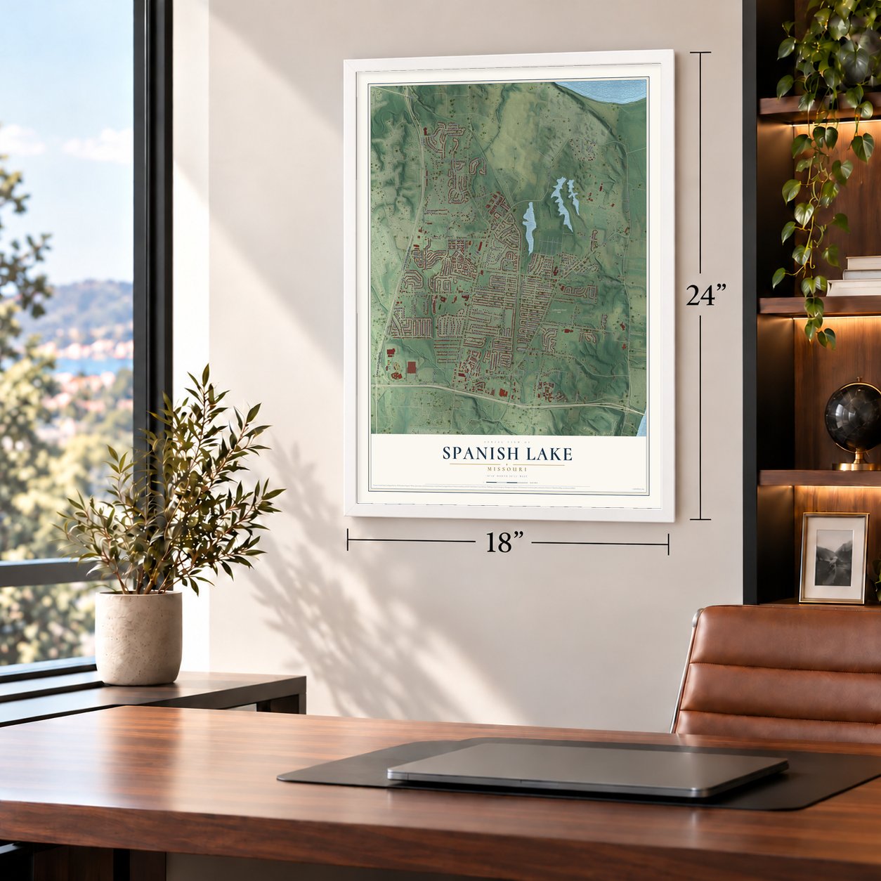
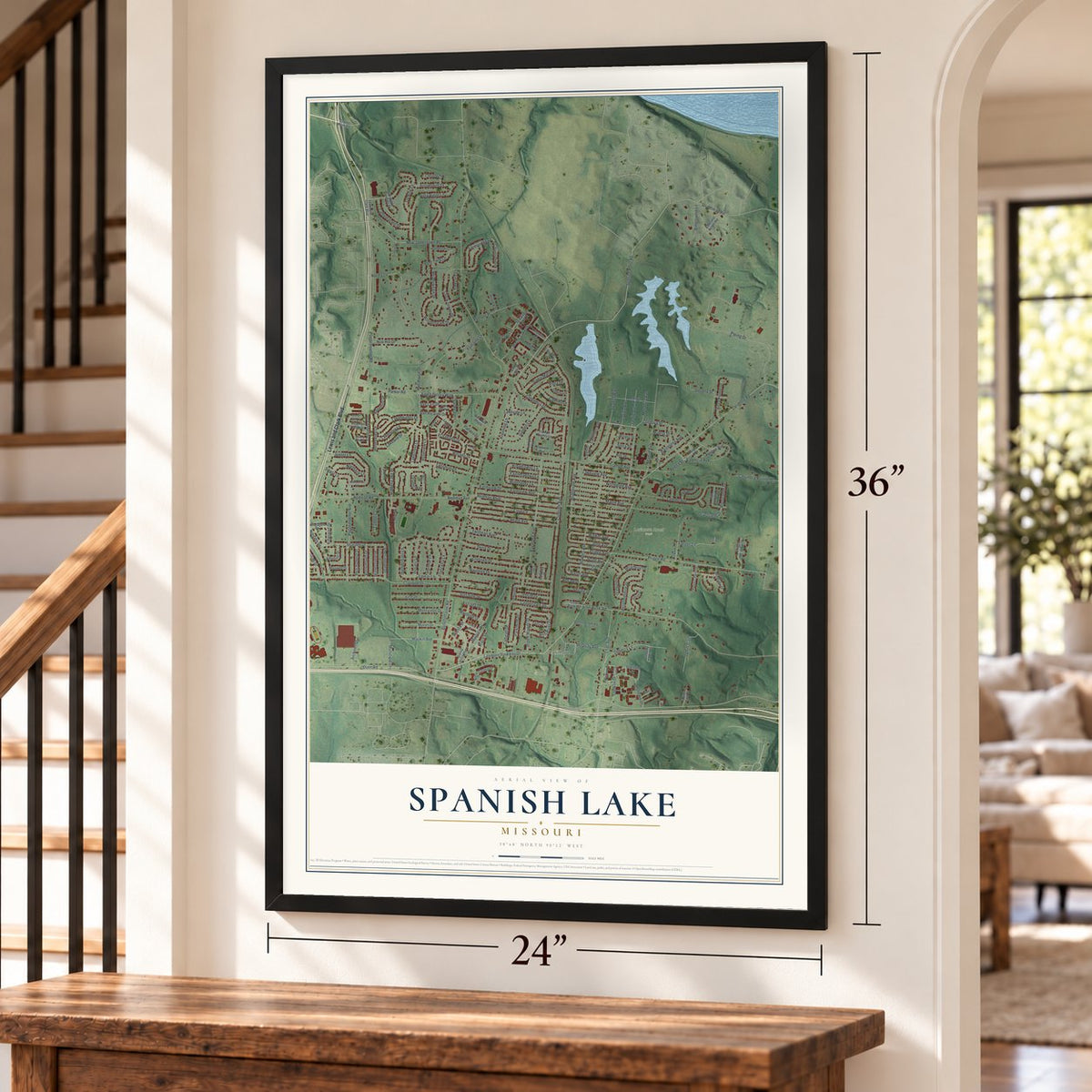
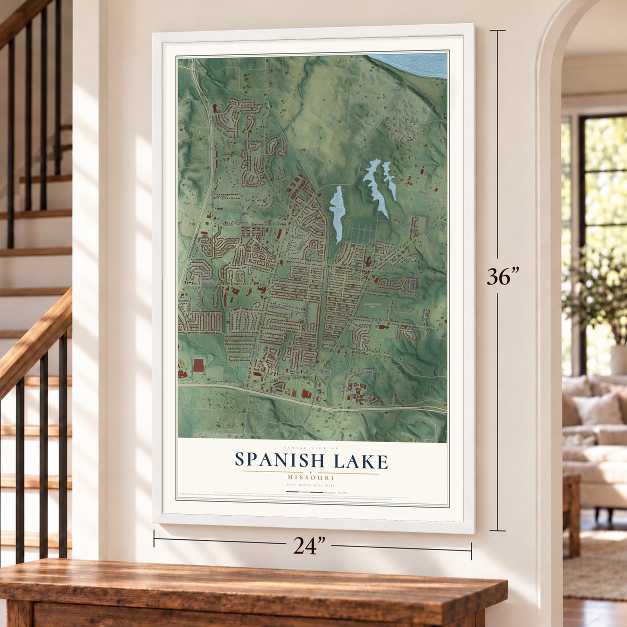
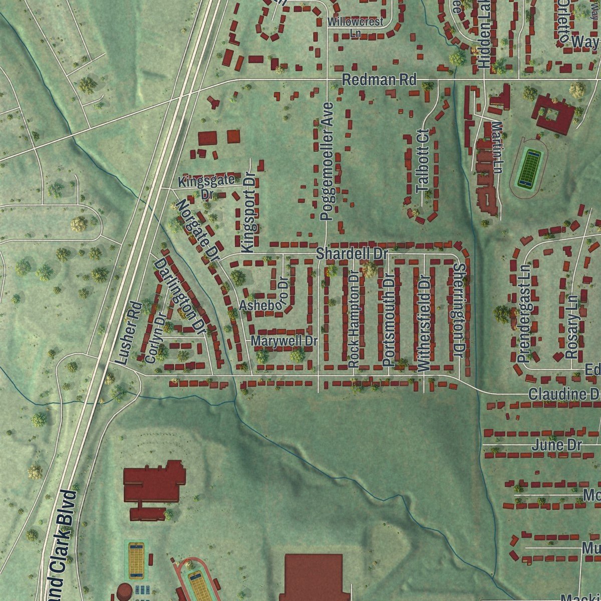
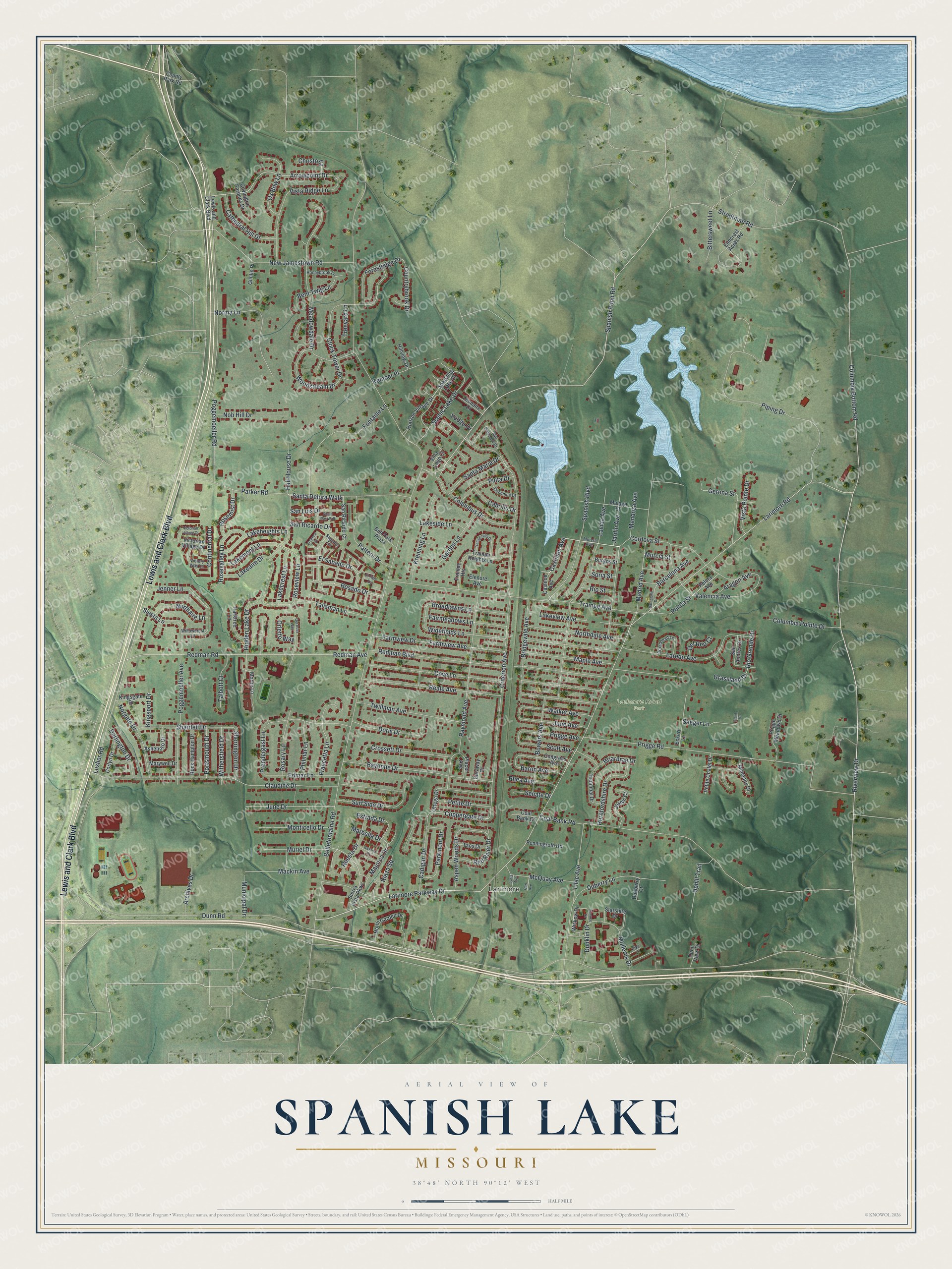
Explore Spanish Lake, Missouri from a whole new perspective. Created using aerial imagery and detailed geographic data, this map captures Spanish Lake building by building, with labeled streets, familiar landmarks, and shaded topographical relief that highlights the natural contours of the landscape.
Combining modern data with the timeless character of a vintage atlas, this map is just as interesting up close as it is beautiful on the wall. Whether you grew up in Spanish Lake, spent memorable years there, or call it home today, this unique map is a great way to celebrate a place that means something to you. Zoom in on the preview to look for your street, and then order a print to put your memories on the wall.
Three ways to hang it
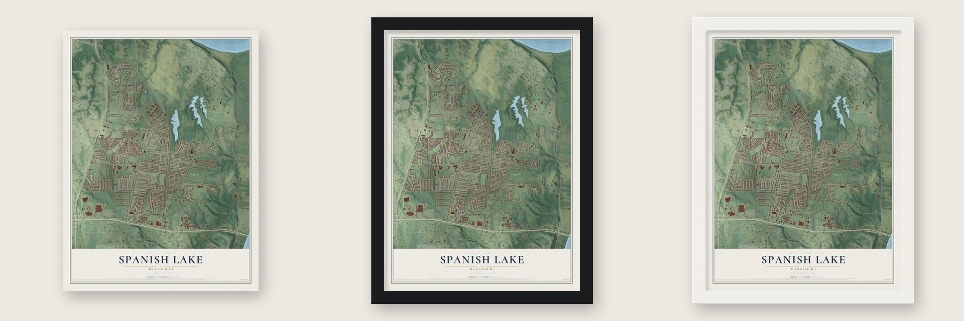
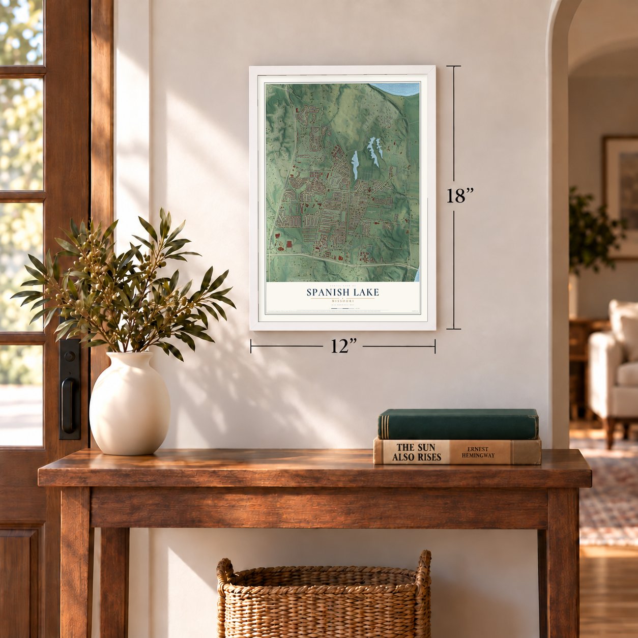
Unframed archival matte, a black wood frame or a white wood frame.
Up close
Geography Worth Displaying
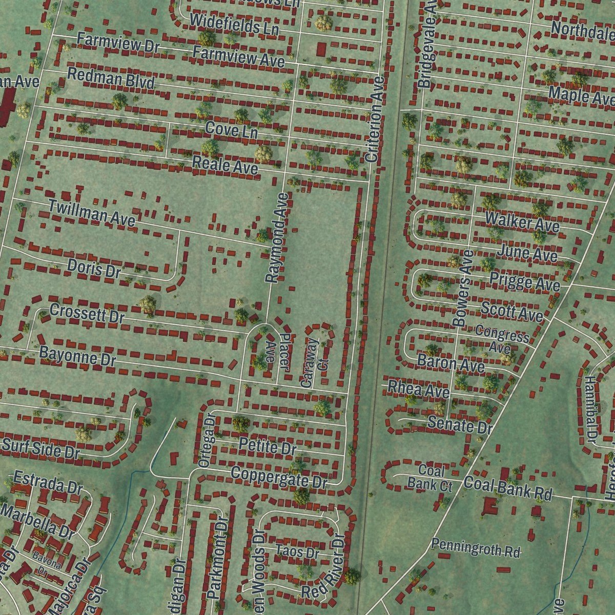
This map was created using accurate cartographic data and authoritative geographic sources, including the U.S. Geological Survey and the Census Bureau. The map brings together terrain, waterways, roads, and building detail. The majority of the streets are labeled, houses are accurately depicted, and the topography is derived from government sources. Combining local data with carefully composed color and shading leads to this beautifully detailed Spanish Lake artwork for your wall.
Rather than simply showing street outlines, we’ve included as many of the street names as we could reasonably fit on the map while keeping their names legible. Zoom in on the high resolution preview to see exactly what’s on the map. We truly set out to create a statement piece for anyone who loves Spanish Lake. So whether it’s for you, or a gift for someone you love, we hope this map of Spanish Lake brings back fond memories.
Read the story behind this map of Spanish Lake, Missouri from 2026.
Find your street
Names on the Spanish Lake map
Every name below is printed on this map. Look for your street, your school, the park where you played, or the pond down the road.
Places and landmarks2
- Larimore
- Larimore Road Park
Streets and roads222
- Lewis and Clark Boulevard
- Castilion Avenue
- Murcia Street
- El Sabado Drive
- Spanish Pond Road
- Rosado Drive
- Riverview Drive
- Arrowpoint Drive
- Larimore Road
- Columbia Bottom Road
- Larimore Parkway Drive
- San Ricardo Drive
- Dunn Road
- Bellefontaine Road
- Lusher Road
- Criterion Avenue
- Claudine Drive
- Coal Bank Road
- Piping Drive
- Prigge Road
- Trampe Avenue
- Redman Avenue
- Redman Road
- Laredo Avenue
- Parker Road
- Raymond Avenue
- Redman Boulevard
- Cove Lane
- Lavida Avenue
- Reale Avenue
Show all 222 streets
- Farmview Drive
- Strodtman Road
- Meadowdale Drive
- Hidden Lake Drive
- Mendoza Avenue
- Lilac Avenue
- New Jamestown Road
- Clock Tower Drive
- Madrid Avenue
- Poggemoeller Avenue
- Bayonne Drive
- Valencia Avenue
- Fontaine Lane
- Prendergast Lane
- Farmview Avenue
- Vista Ridge Lane
- Cadigan Drive
- Gerona Street
- Spanish Boulevard
- Cordova Street
- Norma Lane
- Twillman Avenue
- Briarbrae Drive
- Rosary Lane
- Crossett Drive
- Duberry Lane
- Bridgevale Avenue
- Roseview Lane
- Columbus Drive
- Northdale Avenue
- Shardell Drive
- Bowers Avenue
- Scenic Lake Drive
- Maple Avenue
- Poggemoeller Road
- Aspen Woods Drive
- Doris Drive
- Jenner Lane
- Pattern Drive
- Krenning Lane
- June Drive
- Garden Lane
- Lakeview Avenue
- Woodstream Drive
- Surf Side Drive
- Norgate Drive
- Pelota Street
- Talisman Lane
- Francetta Lane
- Widefields Lane
- Herefordshire Drive
- Cathedral Hill Drive
- Fairmeadows Lane
- Broadlawns Lane
- Rosevalley Lane
- Rio Grande Drive
- Ox Bow Lane
- Mackin Avenue
- Edmar Lane
- Walker Avenue
- McQuay Avenue
- Parkmont Drive
- June Avenue
- Lakeheights Lane
- Columbia Pointe Drive
- Monticello Drive
- Nob Hill Drive
- Kemper Place
- Forestedge Drive
- Riaza Square
- Uphill Trail
- Prigge Avenue
- Continental Drive
- Majorca Drive
- Ruesta Drive
- Lakemont Lane
- Santa Maria Drive
- Barcelona Avenue
- Muriel Drive
- Estrada Drive
- Scott Avenue
- Lakeside Lane
- Pinta Drive
- Northaire Lane
- Mollerus Drive
- Dunklin Drive
- Darlington Drive
- Bent Twig Lane
- Withersfield Drive
- Petite Drive
- Vista Pointe Drive
- Saeger Lane
- Red River Drive
- Jardin Avenue
- Countrybrook Drive
- Coppergate Drive
- Lakecrest Lane
- Philmar Lane
- Lakeaire Drive
- Bittersweet Lane
- Talbott Court
- Siesta Lane
- Santa Delora Walk
- Archives Drive
- San Luis Drive
- Baron Avenue
- Sherrington Drive
- Rosemist Drive
- Aragon Avenue
- Rhea Avenue
- Portsmouth Drive
- Hall House Drive
- Marbella Drive
- Cabrillo Drive
- Soria Street
- Grassland Drive
- Municipal Drive
- Kingsport Drive
- Senate Drive
- Christo Court
- Del Reo Court
- Orletto Way
- Treeyard Lane
- Rio Street
- Vodge Drive
- Castilon Avenue
- Wiskow Drive
- Horizon Village Drive
- Martin Lane
- Sierra Vista Parkway
- North Garden Drive
- Elmcrest Acres Road
- Malaga Street
- Congress Avenue
- Burgos Street
- Eckert Lane
- Trampe Heights Lane
- Rock Hampton Drive
- Prigge Meadows Drive
- Hannibal Drive
- Victorian Village Drive
- Joslyn Court
- San Ricardo Court
- Petite Chalet Drive
- Parktree Lane
- Asheboro Drive
- Penningroth Road
- Mimeaux Drive
- Corlyn Drive
- Kingsgate Drive
- Pelota Avenue
- Taos Drive
- Starshire Drive
- Covington Gardens Drive
- Marywell Drive
- Sparkling Lake Drive
- Trampe Heights
- San Andres Drive
- Bell Park Plaza
- Coal Bank Court
- Leonaire Court
- Placer Avenue
- Hillview Drive
- Dueberry Court
- Dunn View Drive
- County Park Road
- Gimlin Place
- Villa Lago Court
- Ortega Drive
- Elenore Avenue
- Caraway Court
- Murcia Avenue
- Willowcrest Lane
- Broadhead Lane
- Victory Way Lane
- Sagunto Terrace
- Dominica Drive
- Honeybrook Lane
- San Salvador Drive
- Pike Court
- Barcelona Drive
- Santa Blas Walk
- Del Rosa Way
- Trampe Hills Drive
- El Tigre Terrace
- Victorian Village Court
- Bavona Drive
- El Greco Court
- Lydia Avenue
- Suntree Drive
- Carl Avenue
- Frank Drive
Names are listed as they appear on the printed map. Zoom into the product photos to find them.
About Spanish Lake, Missouri
Spanish Lake is an unincorporated census-designated place in northeastern St. Louis County. Its population was 18,413 in 2020, and its 7.5 square miles include 0.2 square miles of water. The community developed from an area once called Spanish Pond into a nineteenth-century farming crossroads.
- Spanish Pond OriginsThe former name recalled Spanish troops who stayed nearby while constructing a fortified post in 1768.
- River BoundariesThe Mississippi River borders the community on the east, while the Missouri River forms its northern boundary.
- German Farm HeritageGerman immigrants cultivated local farmland, and by the 1870s they had become the area's predominant cultural group.
- Blacksmith LandmarkA Spanish Lake blacksmith shop, remembered as a local landmark, was built in 1876.
- Local InstitutionsSpanish Lake contains a National Archives facility and lies within the Hazelwood School District.
Keep exploring Missouri
Spanish Lake is one of 1,207 Missouri towns we've mapped. Every dot on the map is a print of its own.
The search covers every state, Missouri first.
Near Spanish Lake
Order 2 or more town maps and save 10%. Shown in the size and finish you picked above, so they hang as a set.
- Glasgow Village 12" x 18" / Archival Matte Print $39.99
- Bellefontaine Neighbors 12" x 18" / Archival Matte Print $39.99
- Riverview 12" x 18" / Archival Matte Print $39.99
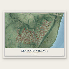
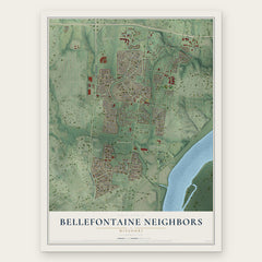
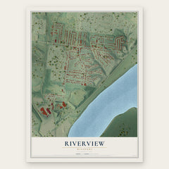
More maps nearby: Black Jack, Castle Point, Moline Acres, Dellwood and West Alton.
The art of mapping a place
How This Map Was Made
Real places. Remarkable detail. Discover the layers that turn geographic data into a map of home.

The view from above
Aerial imagery reveals the character of the land: woodland, open fields, and the patterns of a place.

The shape of the land
Elevation data brings hills, valleys, and subtle changes in the landscape into view.

The details of home
Roads, waterways, and building footprints come together to make the map feel unmistakably local.

Geography becomes art
Considered color, shading, and typography bring the layers together in a map made for your wall.


Process illustrated with Mendon, Massachusetts. Aerial imagery: USDA NAIP. Terrain: USGS 3D Elevation Program. Map details and finished artwork: KNOWOL.
The Details
About This Print
Choose an archival matte print, or a black or white Ayous wood frame. The archival matte print is unframed.
Select your size and finish above to see the matching product image and price.
Materials & Craftsmanship
A contemporary map with the character of a classic atlas, printed on archival matte paper. Optional frames are made from Ayous wood.
Your printed map does not include the watermark shown in the full-map preview.
Shipping & Delivery
Free shipping within the United States. Every print is made to order in the USA.
Buying a gift? Add a note in your cart and we'll include it. We never put prices in the package.
Prints ship within 2 to 3 business days. Allow 7 to 10 days total from ordering for delivery. Timing may vary during holidays or periods of high order volume.
Read our shipping policy.
Returns and damaged prints
Each print is made to order. Change-of-mind refunds are not available after production.
If your print arrives damaged, misprinted or incorrect, contact support@knowol.com within 30 days of receiving it. Include your order number, photos and a description of the issue.
Read our full refund and replacement policy. For questions about your order, email support@knowol.com.