
Search for another town




Free U.S. delivery 7 to 10 days after you order
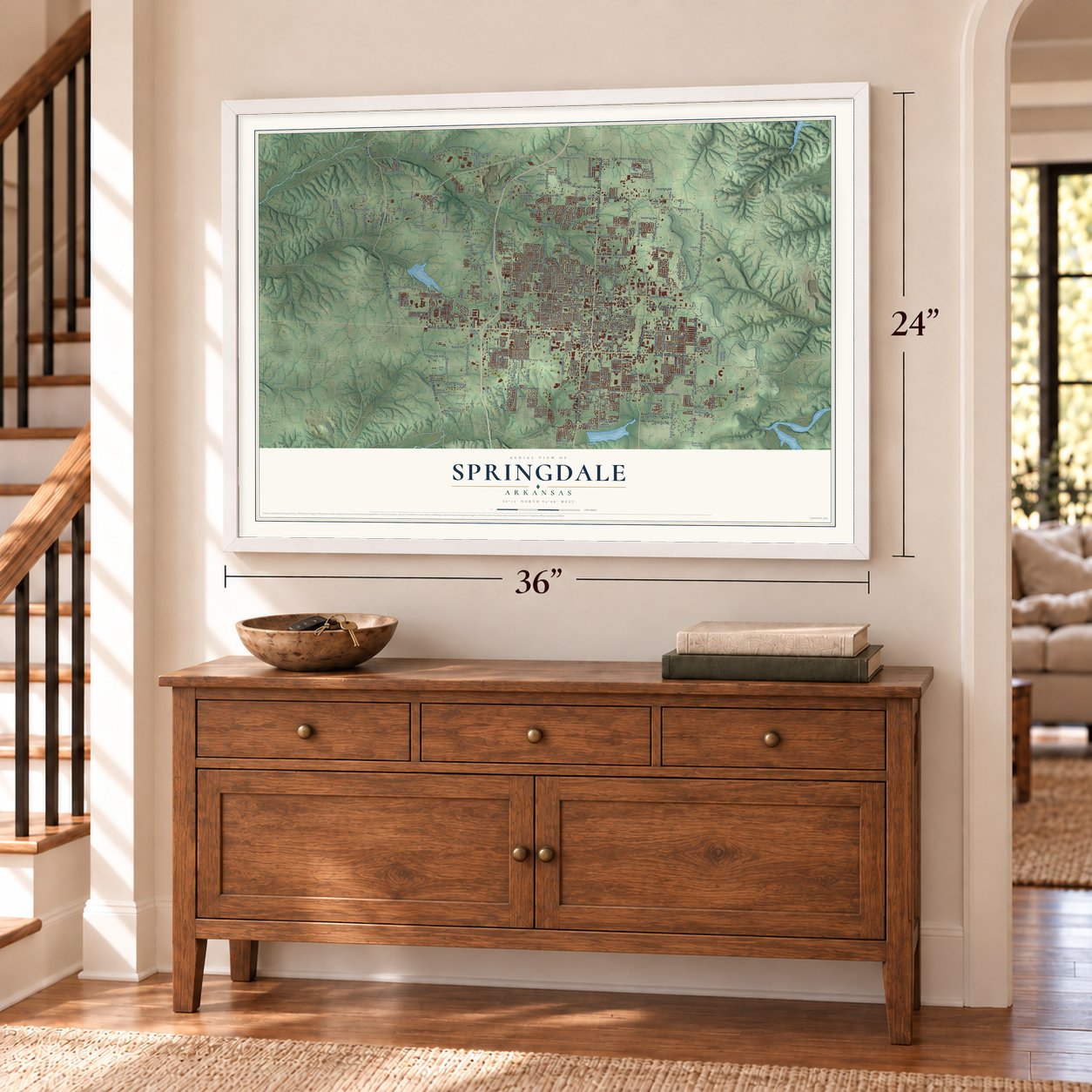
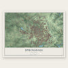
Springdale, Arkansas Map Art
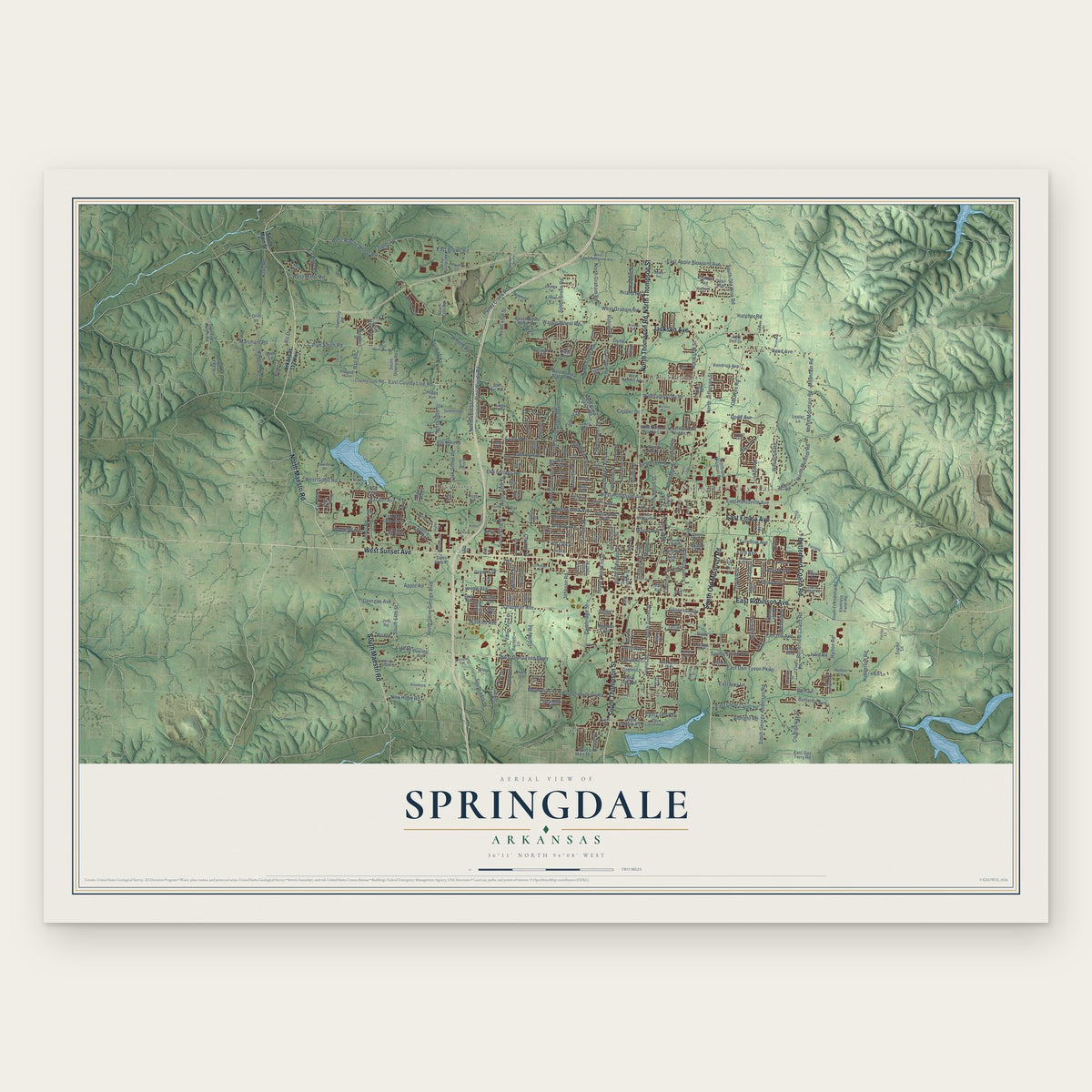
A new map of Springdale, Arkansas, made in 2026 and printed to order on thick archival matte paper.
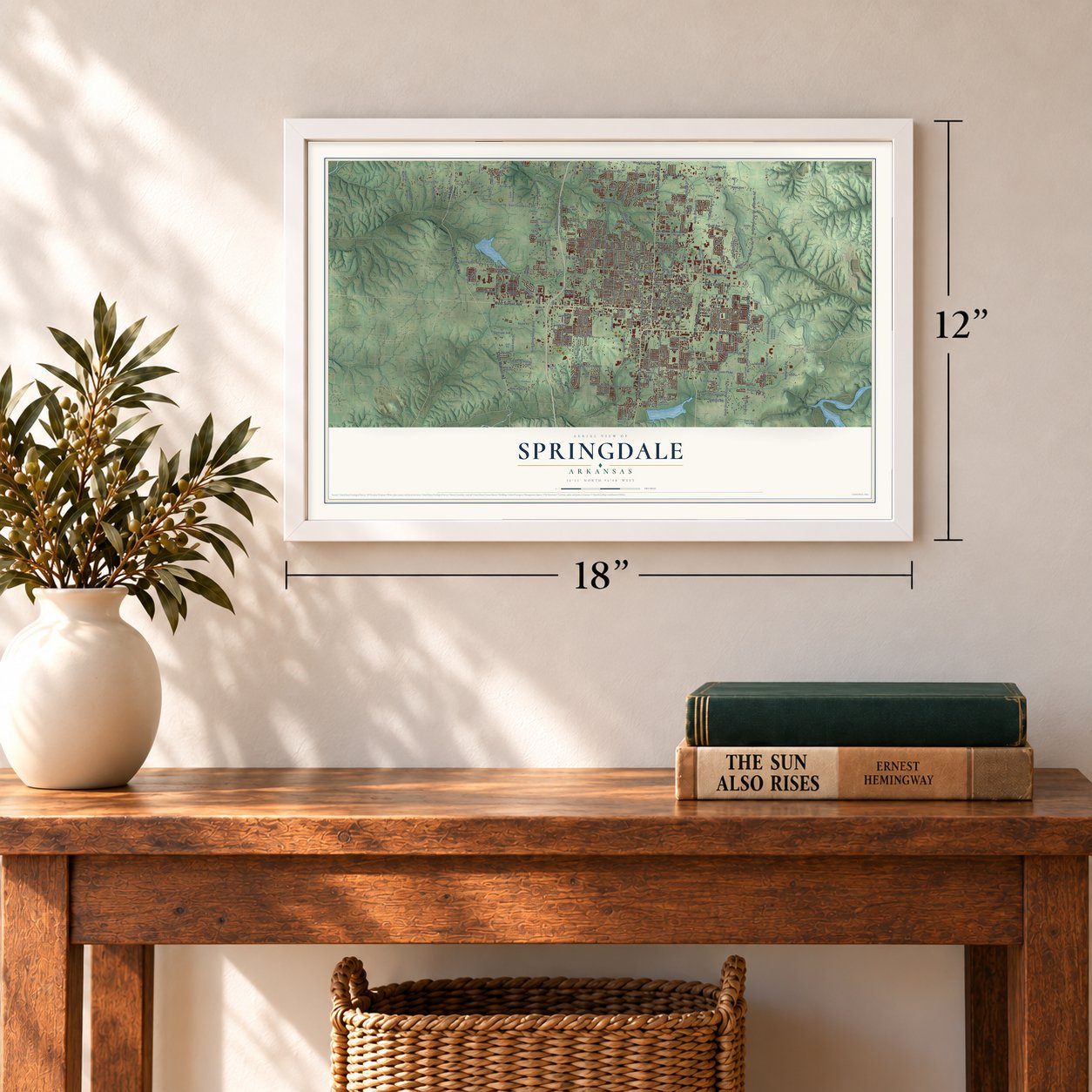
12" x 18" Archival Matte Print
A Map of Home. A Work of Art.
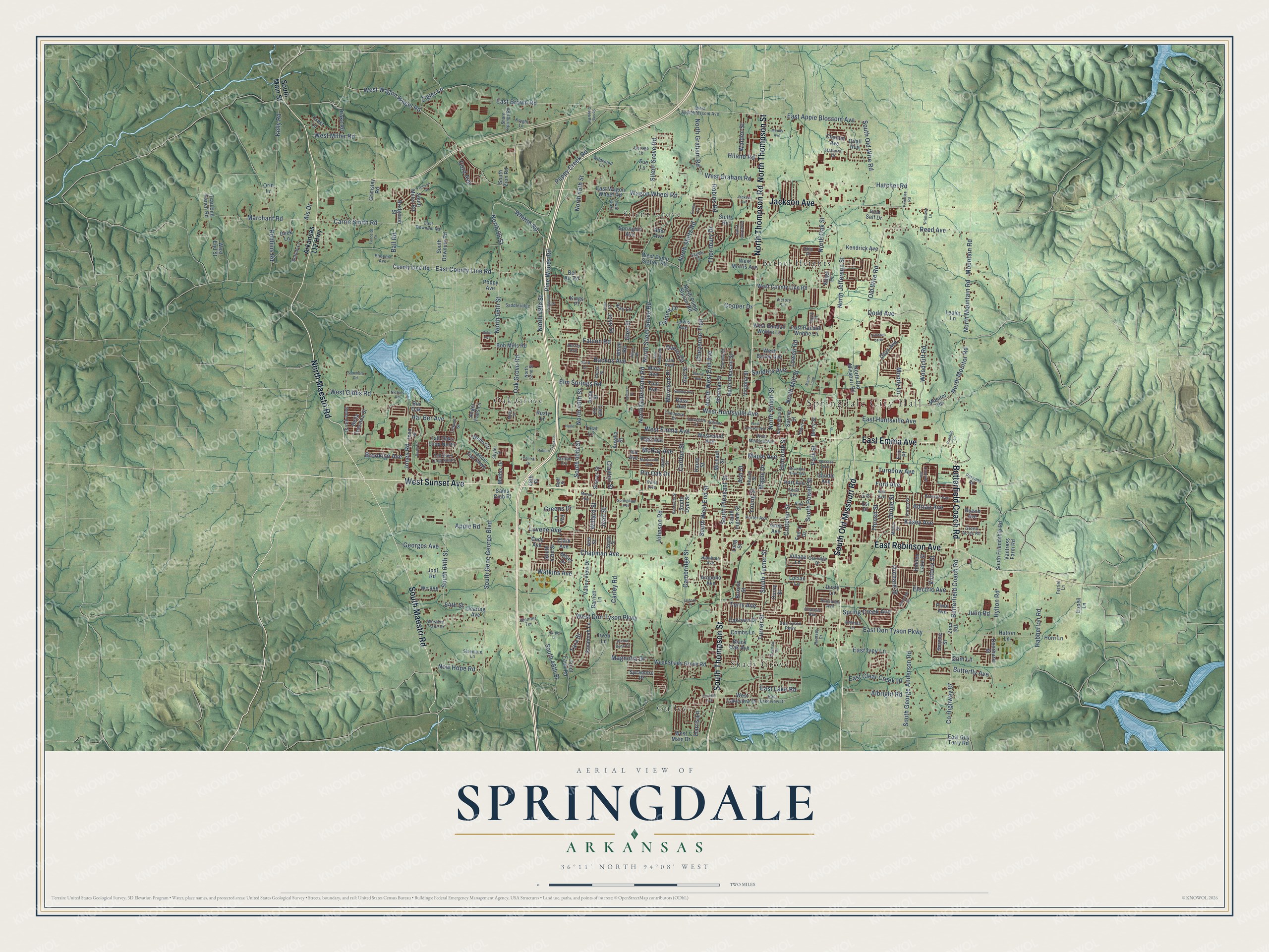
Explore Springdale, Arkansas from a whole new perspective. Created using aerial imagery and detailed geographic data, this map captures Springdale building by building, with labeled streets, familiar landmarks, and shaded topographical relief that highlights the natural contours of the landscape.
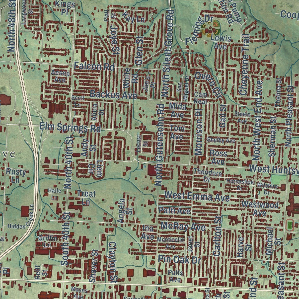
Combining modern data with the timeless character of a vintage atlas, this map is just as interesting up close as it is beautiful on the wall. Whether you grew up in Springdale, spent memorable years there, or call it home today, this unique map is a great way to celebrate a place that means something to you. Zoom in on the preview to look for your street, and then order a print to put your memories on the wall.
Three ways to hang it
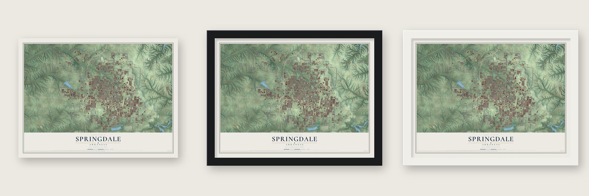
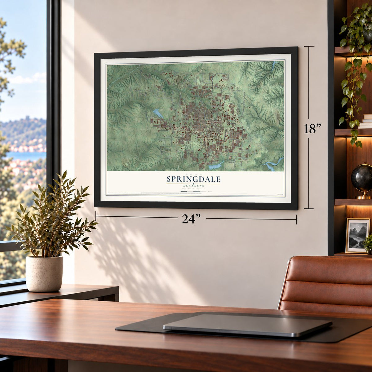
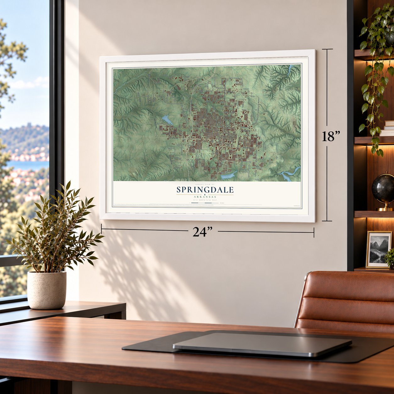
Unframed archival matte, a black wood frame or a white wood frame.
Up close
Geography Worth Displaying
This map was created using accurate cartographic data and authoritative geographic sources, including the U.S. Geological Survey and the Census Bureau. The map brings together terrain, waterways, roads, and building detail. The majority of the streets are labeled, houses are accurately depicted, and the topography is derived from government sources. Combining local data with carefully composed color and shading leads to this beautifully detailed Springdale artwork for your wall.
Rather than simply showing street outlines, we’ve included as many of the street names as we could reasonably fit on the map while keeping their names legible. Zoom in on the high resolution preview to see exactly what’s on the map. We truly set out to create a statement piece for anyone who loves Springdale. So whether it’s for you, or a gift for someone you love, we hope this map of Springdale brings back fond memories.
Read the story behind this map of Springdale, Arkansas from 2026.
About Springdale, Arkansas
From the Encyclopedia of Arkansas: "John Holcombe is considered to be the founder of the town that grew around that small church. Though not an original settler, Holcombe was a charismatic man who understood that it was wise to buy land and organize a town."
From the Encyclopedia of Arkansas: "People have lived in the area now called Springdale for about 12,000 years. Early settlers came and stayed because of abundant natural resources, just as later European settlers did."
Find your street
Names on the Springdale map
Every name below is printed on this map. Look for your street, your school, the park where you played, or the pond down the road.
Places and landmarks6
- Springdale City Hall
- Bethel Heights
- Gulley
- Oak Grove
- Shady Grove
- Silent Grove
Streets and roads357
- West Sunset Avenue
- South Thompson Street
- North Thompson Street
- North Thompson Road
- East Emma Avenue
- Butterfield Coach Road
- Jackson Avenue
- North Maestri Road
- South Old Missouri Road
- East Robinson Avenue
- South Maestri Road
- Wagon Wheel Road
- North Oak Street
- East County Line Road
- North Mill Street
- Carrie Smith Road
- Ball Road
- East Brown Road
- Silent Grove Road
- North 56 Street
- Als Drive
- South 48th Street
- North 56th Street
- West Wagon Wheel Road
- Falcon Road
- North 48th Street
- Whittle Road
- Elm Springs Road
- Mountain Road
- West Emma Avenue
Show all 357 streets
- North Stultz Road
- North Gutensohn Road
- Turner Street
- East Don Tyson Parkway
- Old Wire Road
- West Don Tyson Parkway
- North 40th Street
- South Turner Street
- Har Ber Avenue
- South Powell Street
- Johnson Road
- West Huntsville Avenue
- East Huntsville Avenue
- Backus Avenue
- South 40th Street
- South Gene George Boulevard
- South Old Wire Road
- Carley Road
- County Highway 87
- North Jefferson Street
- Chapman Avenue
- Marchant Road
- McRay Avenue
- Robbins Road
- North Mountain Road
- Hylton Road
- Watkins Avenue
- South 64th Street
- South Pleasant Street
- Electric Avenue
- Puppy Creek Road
- West Miller Road
- Cambridge Street
- South West End Street
- Pine Woods Road
- East Apple Blossom Avenue
- North 45th Street
- Woodcliff Road
- Kelly Road
- Luvene Avenue
- South George Anderson Road
- Oriole Street
- North Monitor Road
- West Gibbs Road
- Lowell Road
- Reed Avenue
- North Silent Grove Road
- Julio Road
- North West End Avenue
- Hatcher Road
- Jean Street
- Crutcher Street
- Jones Road
- Carlton Street
- Oak Grove Road
- Habberton Road
- Dodd Avenue
- East Ivey Lane
- Joye Street
- North Graham Road
- Apple Road
- East Clear Creek Drive
- North Shiloh Street
- Fleming Drive
- Holcomb Street
- Orchard Street
- Ford Avenue
- West Graham Road
- Albright Road
- Thornbury Drive
- Young Street
- Kasey Avenue
- Maple Avenue
- Maple Drive
- Spring Creek Avenue
- New Hope Road
- Cheyenne Trail
- Clayton Street
- Overo Circle
- Morrison Place
- Pin Oak Drive
- Adrian Avenue
- Cord Avenue
- Robins Road
- Butterfly Avenue
- Magnolia Drive
- Walden Street
- Brooklyn Avenue
- East Lake Road
- Georges Avenue
- Sanders Avenue
- Tara Street
- Park Street
- Turnbow Avenue
- Willard Street
- Moody Lane
- Thrush Street
- Greens Drive
- Zigler Lane
- Harris Lane
- Hiland Road
- Cooper Drive
- Terry Avenue
- Victoria Street
- Glen Street
- Ash Street
- Gum Lane
- 64th Street
- Arkansas 112 Highway
- South Main Street
- County Line Road
- West County Line Road
- Adel Avenue
- West Pump Station Road
- South Friendship Road
- Liem Circle
- 48th Place
- East Wagon Wheel Road
- South Zion Road
- North Old Missouri Road
- Zion Road
- Westwood Avenue
- Dearing Avenue
- West Shady Grove Road
- Bob Mills Road
- North Pleasant Street
- West Morris Avenue
- Virginia Street
- Grimsley Road
- White Road
- Valley View Drive
- South Dyer Street
- Caudle Avenue
- Crest Lane
- North Pump Station Road
- East Randall Wobbe Lane
- Wells Circle
- Shaver Street
- Horn Lane
- South Miller Road
- Hidden Lake Street
- Bel Air Road
- West Lakeview Drive
- Black Oak Avenue
- Patti Avenue
- Village Lane
- Savannah Lane
- South Downum Road
- Vantress Farm Road
- Berry Street
- Deek Lane
- Sycamore Place
- Francis Fair Parkway
- Kendrick Avenue
- West Main Drive
- Monitor Road
- Onyx Avenue
- Tall Oaks Loop North
- Sherman Street
- Drake Road
- West Randall Wobbe Lane
- Arapaho Avenue
- West Bailey Avenue
- Bella Toscana Street
- Springhill Avenue
- Bur Oak
- Trail End Ranch Road
- Oaklawn Drive
- Ross Avenue
- Andy Street
- Ina Avenue
- Wc 888
- Deerhurst Street
- Combs Lane
- Harve Street
- South 43rd Street
- Lewis Avenue
- Clark Avenue
- Michael Street
- Long Street
- Spring Street
- Hart Avenue
- Barnett Lane
- Mathis Drive
- Trout Farm Road
- Bridgeton Street
- South Ingram Street
- Par Lane
- Serene Street
- Bueno Avenue
- East Guy Terry Road
- Eupeil Lane
- Kings Drive
- Quail Run
- Hutton Lane
- West End Street
- Esi Drive
- Toni Avenue
- Mida Avenue
- Angela Street
- Greg Avenue
- Lealer Lane
- Boxcar Street
- Sams Club Place
- Lucian Lane
- Fed-X Drive
- Treat Lane
- Sue Lane
- Chantel Avenue
- Angel Falls Lane
- Erin Place
- Ann Street
- Cody Avenue
- Pinot Avenue
- Gail Street
- Kay Lane
- Jodi Road
- Kings Place
- June Self Drive
- Dusty Lane
- Stultz Road
- Ouray Street
- Poppy Avenue
- Irven Lane
- Miller Drive
- Rusty Lane
- Orin Lane
- West Appleblossom Avenue
- East Downum Road
- Don Tyson Parkway
- Sharp Springs Road
- Jtl Parkway
- Theodore Drive
- Saddleridge
- Wildwood Lane
- Western Trails Drive
- East Lakeview Drive
- Cam Real
- Pasofino Loop
- Janet Street
- Hembree Avenue
- Porter Avenue
- Sagely Lane
- West Meadow Avenue
- Tall Oaks Loop South
- North Main Street
- Belinda Lane
- Braxton Avenue
- Pults Avenue
- Green Acres Road
- Brandy Lane
- Bella Vita Street
- Palisades Avenue
- Ireland Street
- Parsons Road
- Oakridge Drive
- Sisemore Lane
- Fink Drive
- Ewalt Avenue
- Forest Street
- Thelma Street
- Hewitt Street
- George Lane
- Chip Drive
- Twin Oaks
- Phoenix Avenue
- Sandy Street
- Griffin Lane
- Chateau Avenue
- Ramsey Drive
- Harry Street
- Kim Avenue
- Skyler Street
- Jennifer Terrace
- Deaver Street
- Hathorn Drive
- North 52nd Street
- Ferriel Lane
- Victory Lane
- Aesop Avenue
- Mortie Street
- Jim's Place
- Knight Lane
- Alicia Street
- Reiff Street
- Fir Street
- Henryetta Street
- Willow Bend Circle
- Cascade Circle
- Mayes Avenue
- Primrose Lane
- West Johnson Avenue
- Horseshoe Drive
- Croxdale Drive
- Longwood Street
- Scott Lane
- Mountain View Avenue
- Manor Loop
- Summers Road
- Springdale Avenue
- Hidden Creek Lane
- Success Avenue
- Nichols Road
- Tolleson Loop
- Monticello Avenue
- Shelby Avenue
- San Miguel Drive
- Harper Lane
- Riverside Street
- Lancelot Drive
- Primrose Road
- Moody Avenue
- Essex Cv
- Spring Creek Road
- Central Drive
- Wilshire Drive
- Gibson Street
- Steele Avenue
- Doris Drive
- Curchill Avenue
- Platt Street
- Preston Lane
- Schio Avenue
- Haile Lane
- Oxford Place
- Locust Street
- Milas Street
Names are listed as they appear on the printed map. Zoom into the product photos to find them.
The art of mapping a place
How This Map Was Made
Real places. Remarkable detail. Discover the layers that turn geographic data into a map of home.

The view from above
Aerial imagery reveals the character of the land: woodland, open fields, and the patterns of a place.

The shape of the land
Elevation data brings hills, valleys, and subtle changes in the landscape into view.

The details of home
Roads, waterways, and building footprints come together to make the map feel unmistakably local.

Geography becomes art
Considered color, shading, and typography bring the layers together in a map made for your wall.


Process illustrated with Mendon, Massachusetts. Aerial imagery: USDA NAIP. Terrain: USGS 3D Elevation Program. Map details and finished artwork: KNOWOL.
The Details
About This Print
Choose an archival matte print, or a black or white Ayous wood frame. The archival matte print is unframed.
Select your size and finish above to see the matching product image and price.
Materials & Craftsmanship
A contemporary map with the character of a classic atlas, printed on archival matte paper. Optional frames are made from Ayous wood.
Your printed map does not include the watermark shown in the full-map preview.
Shipping & Delivery
Free shipping within the United States. Every print is made to order in the USA.
Buying a gift? Add a note in your cart and we'll include it. We never put prices in the package.
Prints ship within 2 to 3 business days. Allow 7 to 10 days total from ordering for delivery. Timing may vary during holidays or periods of high order volume.
Read our shipping policy.
Returns and damaged prints
Each print is made to order. Change-of-mind refunds are not available after production.
If your print arrives damaged, misprinted or incorrect, contact support@knowol.com within 30 days of receiving it. Include your order number, photos and a description of the issue.
Read our full refund and replacement policy. For questions about your order, email support@knowol.com.
Find your town
Looking for another city?
Find a map of home in our Arkansas collection, or any town in the country.
Nearby
Maps of towns near Springdale
Know someone from one of these towns? Their map makes a great gift.
 Johnson
, Arkansas
From $39.99See the map
 Lowell
, Arkansas
From $39.99See the map
 Elm Springs
, Arkansas
From $39.99See the map
More maps nearby: Tontitown, Cave Springs, Fayetteville, Rogers and Goshen.