
Search for another town

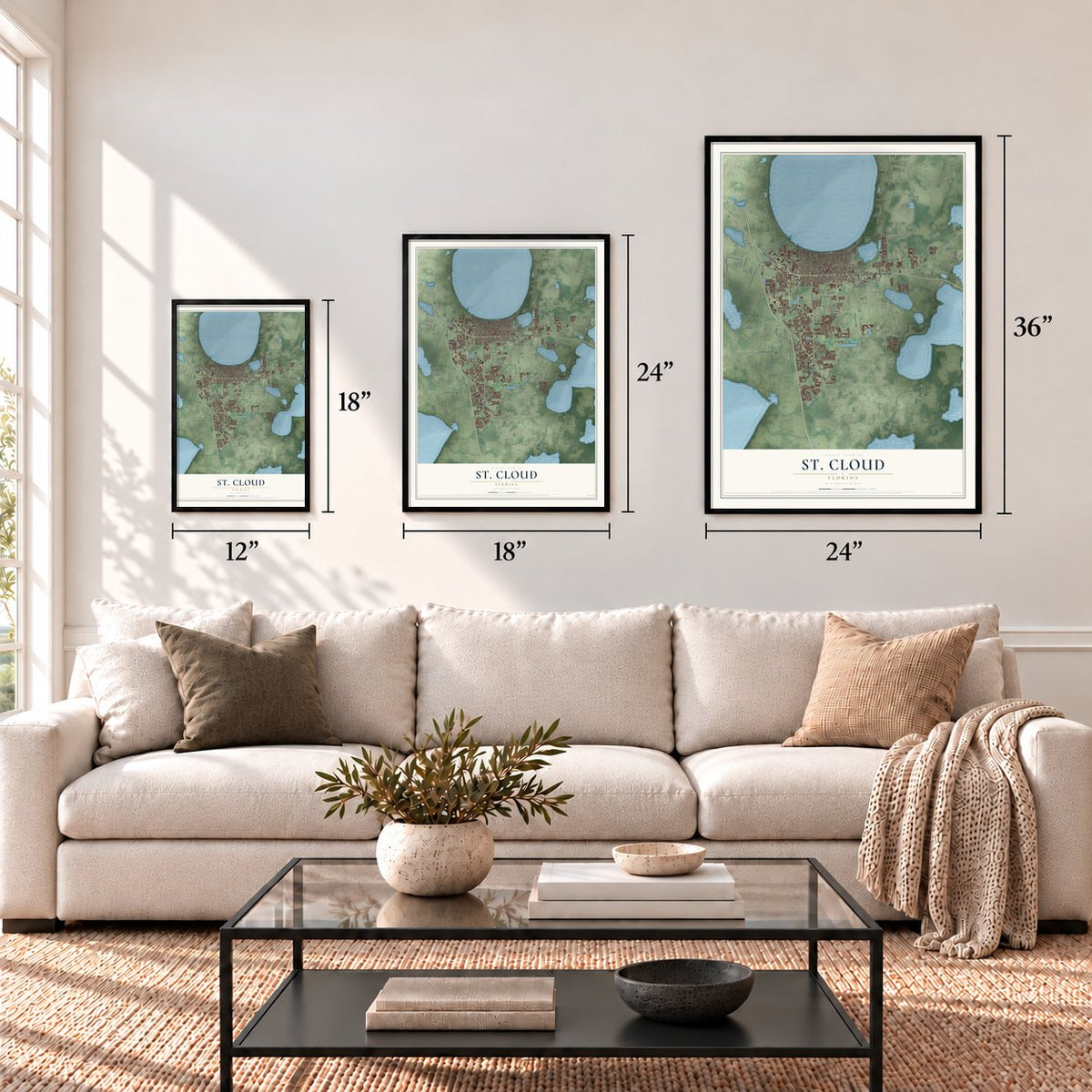
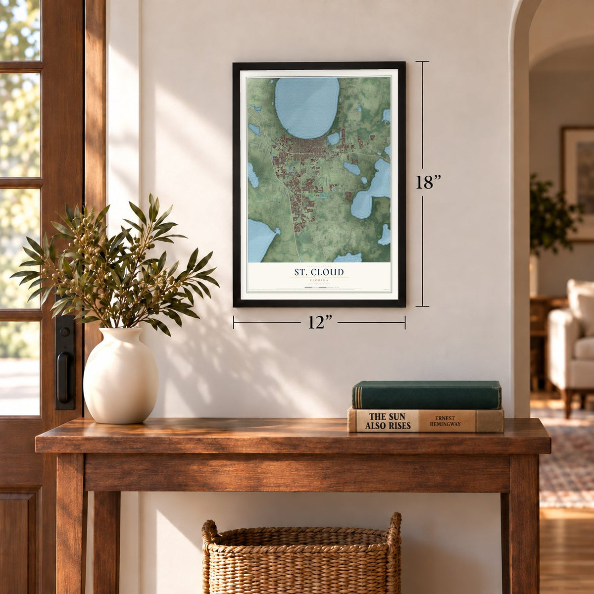
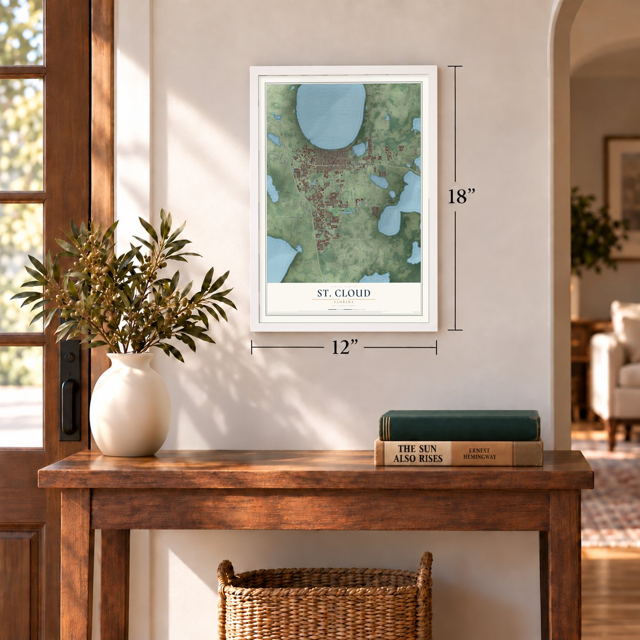

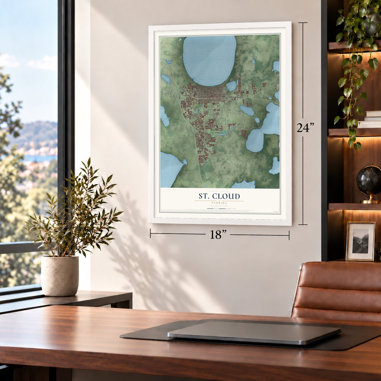

Free U.S. delivery 7 to 10 days after you order
St. Cloud, Florida Map Art
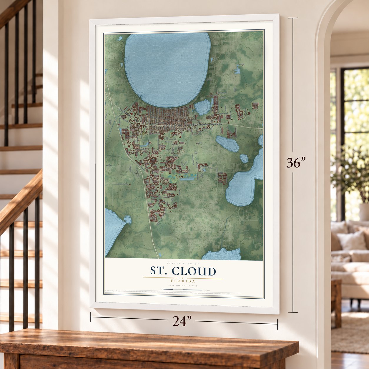
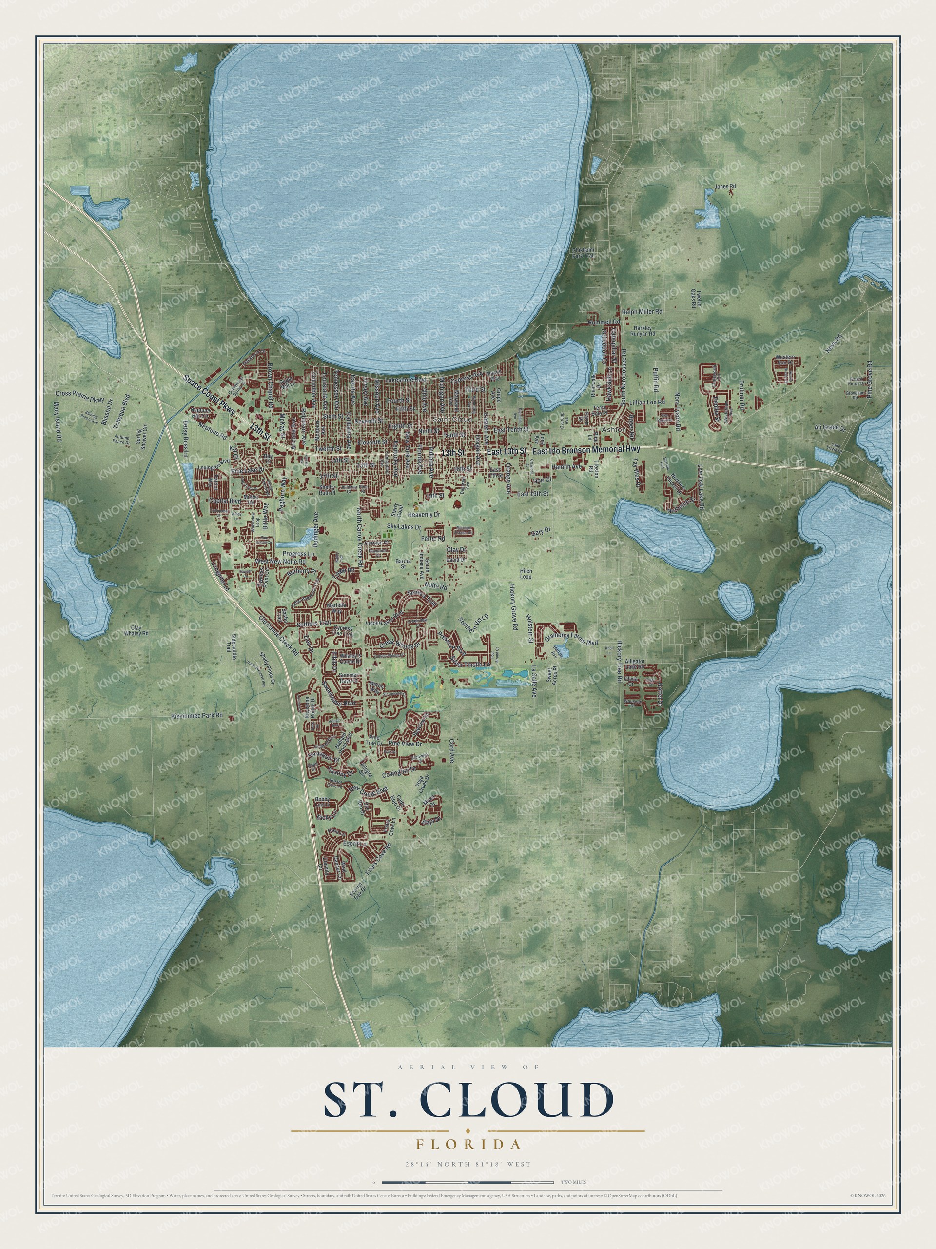
A new map of St. Cloud, Florida, made in 2026 and printed to order on thick archival matte paper.
12" x 18" Archival Matte Print
A Map of Home. A Work of Art.
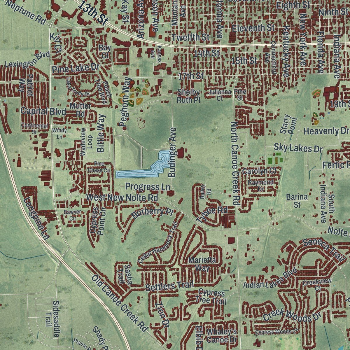
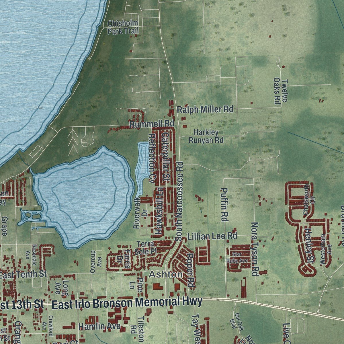
Explore St. Cloud, Florida from a whole new perspective. Created using aerial imagery and detailed geographic data, this map captures St. Cloud building by building, with labeled streets, familiar landmarks, and shaded topographical relief that highlights the natural contours of the landscape.
Combining modern data with the timeless character of a vintage atlas, this map is just as interesting up close as it is beautiful on the wall. Whether you grew up in St. Cloud, spent memorable years there, or call it home today, this unique map is a great way to celebrate a place that means something to you. Zoom in on the preview to look for your street, and then order a print to put your memories on the wall.
Three ways to hang it
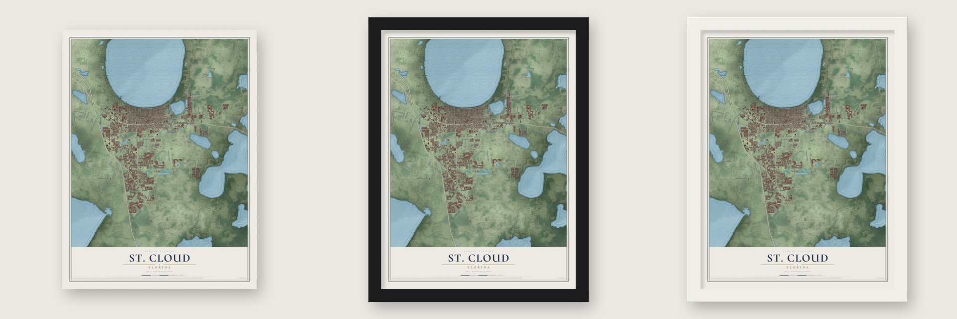
Unframed archival matte, a black wood frame or a white wood frame.
Up close
Geography Worth Displaying
This map was created using accurate cartographic data and authoritative geographic sources, including the U.S. Geological Survey (USGS) and FEMA. The map brings together terrain, waterways, roads, and building detail. The majority of the streets are labeled, houses are accurately depicted, and the topography is derived from government sources. Combining local data with carefully composed color and shading leads to this beautifully detailed St. Cloud artwork for your wall.
Rather than simply showing street outlines, we’ve included as many of the street names as we could reasonably fit on the map while keeping their names legible. Zoom in on the high resolution preview to see exactly what’s on the map. We truly set out to create a statement piece for anyone who loves St. Cloud. So whether it’s for you, or a gift for someone you love, we hope this map of St. Cloud brings back fond memories.
Explore the full map of St. Cloud, Florida and read about the local places it shows.
About St. Cloud, Florida
St. Cloud is a city of 58,964 people in Osceola County, on the south shore of East Lake Tohopekaliga. Its name goes back to Hamilton Disston of Philadelphia, who came to fish in the region in the 1870s. He pledged $1 million to cover what Florida's Internal Improvement Fund owed, and in return he would get half of the swampland he drained. In 1886 and 1887 he planted the St. Cloud sugarcane plantation, but the financial panic of 1893, followed by the Great Freeze of 1894 and 1895, ruined it, and Disston went home to Philadelphia, where he died in 1896.
After a failed attempt at growing rice, the land sat unused until 1909. That year 35,000 acres went to the Seminole Land and Investment Company, which planned a colony of Union veterans of the Grand Army of the Republic. William G. King, who managed real estate in Alachua County, arrived that year as the first permanent settler, with the job of laying out the new town. The Florida Legislature made St. Cloud a city on June 1, 1915, and it came to be called "The Friendly Soldier City."
“one of the most important real estate deals ever made in the State of Florida”
- A library for the veteransIn 1910 the new woman's club lent books from a traveling collection and a depot reading table, and by 1911 it had a reading room on Pennsylvania Avenue. Building funds were raised from 1915, with a pause during the war, and a $4,506.20 contract followed in 1922. The club dedicated its Veteran's Memorial Library on February 17, 1923, and ran it until 1968.
- Union soldiers at Mt. PeaceSo many of the colony's old soldiers lie in Mt. Peace Cemetery that it has been ranked among the biggest Union burial grounds away from any battlefield in the South. Many people believe the avenues were named for the states the veterans served from, though the names were assigned to the platted lots before anyone settled there.
- The cross on the water towerGiven to the city in the late 1960s, a lighted Latin cross twelve feet tall stood on the water tower by U.S. Route 192 for nearly twenty years. The ACLU sued in November 1986, and resident Ronald Mendelson followed in March 1987. After a federal judge sided with Mendelson on August 16, 1989, mounting legal costs led the city to remove the cross in 1990.
- Free Wi-Fi in 2006On March 6, 2006, St. Cloud launched its CyberSpot program, and no other American city had yet given all its residents free high-speed wireless Internet. The service ended in 2009.
Find your street
Names on the St. Cloud map
Every name below is printed on this map. Look for your street, your school, the park where you played, or the pond down the road.
Places and landmarks2
- Ashton
- Saint Cloud
Streets and roads223
- East 13th Street
- Space Coast Parkway
- 13th Street
- East Irlo Bronson Memorial Highway
- Old Canoe Creek Road
- Kissimmee Park Road
- Lakeshore Boulevard
- Puffin Road
- Neptune Road
- Pine View Drive
- 17th Street
- North Canoe Creek Road
- Michigan Avenue
- Cross Prairie Parkway
- Fifth Street
- West New Nolte Road
- Tenth Street
- Florida Avenue
- 15th Street
- Nova Road
- Missouri Avenue
- Sixth Street
- Fourth Street
- Eleventh Street
- 14th Street
- Eighth Street
- 16th Street
- Seventh Street
- Ninth Street
- Third Street
Show all 223 streets
- Twelfth Street
- South Narcoossee Road
- Cypress Avenue
- Hickory Tree Road
- Dakota Avenue
- Nolte Road
- Eastern Avenue
- East Tenth Street
- Betsy Ross Lane
- Southern Vis Lp
- Preserve Boulevard
- California Avenue
- Jersey Avenue
- Tohoqua Boulevard
- Louisiana Avenue
- Budinger Avenue
- Rummell Road
- Tennessee Avenue
- Oregon Avenue
- Friars Cove Road
- Kentucky Avenue
- Sweetwater Boulevard
- Seneca Trail
- Orange Avenue
- Indiana Avenue
- New York Avenue
- Settlers Trail
- Deer Creek Boulevard
- Pine Grove Road
- Ohio Avenue
- Nottel Drive
- Columbia Avenue
- Esprit Lane
- Brown Chapel Road
- Gramercy Farms Boulevard
- Tay Wes Drive
- Creek Woods Drive
- Ralph Miller Road
- Harlequin Drive
- Macy Island Road
- Hickory Grove Road
- Nora Tyson Road
- Sky Lakes Drive
- Elbib Drive
- Covington Drive
- Silver Thistle Lane
- Fertic Road
- Peghorn Way
- Lillian Lee Road
- Reflection Cv
- La Salle Avenue
- Robinson Avenue
- Baja Drive
- Hawksbill Lane
- Nuthatch Street
- Live Oak Lake Road
- Burberry Place
- Holstein Street
- Zion Drive
- Heavenly Drive
- Pine Lake Drive
- Ricky Lane
- Capital Boulevard
- East 19th Street
- Hamlin Avenue
- Druliner Road
- Caterpillar Street
- Longpine Lane
- Ali Grace Drive
- 19th Street
- Bittle Way
- Progress Lane
- Arizona Avenue
- Roper Road
- Saxony Drive
- Henley Street
- Tybee Road
- Blissful Drive
- Cord Avenue
- McKay Street
- Kilt Court
- Gary Drive
- Clay Drive
- Dori Court
- Pine Tree Drive
- Montana Avenue
- Maryland Avenue
- Vega Creek Drive
- Marietta Way
- Spring Shower Circle
- Wind Dancer Circle
- Sweet Acres Place
- Eternity Circle
- Cypress Point Circle
- Friars Cove Lane
- Clay Whaley Road
- Grape Avenue
- Cabo Rojo Drive
- Western Sun Drive
- Neptune Bay Circle
- Allegra Circle
- Keystone Pointe Drive
- Bayview Lane
- Moca Drive
- Mallard Pond Boulevard
- Scarlet Oak Drive
- Northern Flicker Drive
- Indian Lakes Boulevard
- East 17th Street
- Sugar Mill Lane
- Harkley Runyan Road
- Shady Pines Drive
- Lexington Boulevard
- Alligator Lake Road
- Hitch Loop
- Terra Sole Place
- Cypress Tree Trail
- Riverwalk Drive
- South Indiana Avenue
- Merlin Way
- Patriot Way
- Pixie Lane
- Mutter Road
- Twelve Oaks Road
- Tileston Road
- Whaley's Canoe Drive
- Sidesaddle Trail
- Chisholm Park Trail
- Barina Street
- Carolyn Court
- Bobby Lee Lane
- Doe Run Drive
- Summer Raye Court
- David Drive
- Starry Point
- Jones Road
- Macon Way
- Long Avenue
- Pine Lane
- Farris Drive
- Sasha Trail
- Shelby Ruth Place
- Olivia Court
- Bay Court
- Pine Street
- Delaware Avenue
- Connecticut Avenue
- Wyoming Avenue
- Commerce Center Drive
- Cedar Hammock Trail
- Chatsworth Circle
- Blackberry Circle
- Wadeview Loop
- Wauseon Drive
- Harlow Avenue
- Groveline Road
- Peach Tree Boulevard
- Goldeneye Lane
- Westerham Avenue
- Brant Street
- Bristol Cove Lane
- Glenwick Drive
- Creekview Court
- Autumn Peace Drive
- Overcup Avenue
- Forest Perch Drive
- Julianna Court
- Raymond Drive
- Lake Lizzie Drive
- Sir Lancelot Circle
- Crawford Avenue
- Continental Street
- Pine Chase Circle
- Blowing Breeze Avenue
- Cypress Woods Circle
- Michigan Estates Circle
- Bur Oak Boulevard
- Sawyer Circle
- Lake Trudy Drive
- Lorimar Lane
- Prairie Preserve Run
- Gentle Breeze Drive
- Four Strand Court
- Rosedale Avenue
- Star Ruby Avenue
- Tibet Court
- Villagio Boulevard
- Kansas Avenue
- Kyle Drive
- Bailey Road
- Windy Lane
- Knoll Lane
- Brick Road
Names are listed as they appear on the printed map. Zoom into the product photos to find them.
The art of mapping a place
How This Map Was Made
Real places. Remarkable detail. Discover the layers that turn geographic data into a map of home.

The view from above
Aerial imagery reveals the character of the land: woodland, open fields, and the patterns of a place.

The shape of the land
Elevation data brings hills, valleys, and subtle changes in the landscape into view.

The details of home
Roads, waterways, and building footprints come together to make the map feel unmistakably local.

Geography becomes art
Considered color, shading, and typography bring the layers together in a map made for your wall.


Process illustrated with Mendon, Massachusetts. Aerial imagery: USDA NAIP. Terrain: USGS 3D Elevation Program. Map details and finished artwork: KNOWOL.
The Details
About This Print
Choose an archival matte print, or a black or white Ayous wood frame. The archival matte print is unframed.
Select your size and finish above to see the matching product image and price.
Materials & Craftsmanship
A contemporary map with the character of a classic atlas, printed on archival matte paper. Optional frames are made from Ayous wood.
Your printed map does not include the watermark shown in the full-map preview.
Shipping & Delivery
Free shipping within the United States. Every print is made to order in the USA.
Buying a gift? Add a note in your cart and we'll include it. We never put prices in the package.
Prints ship within 2 to 3 business days. Allow 7 to 10 days total from ordering for delivery. Timing may vary during holidays or periods of high order volume.
Read our shipping policy.
Returns and damaged prints
Each print is made to order. Change-of-mind refunds are not available after production.
If your print arrives damaged, misprinted or incorrect, contact support@knowol.com within 30 days of receiving it. Include your order number, photos and a description of the issue.
Read our full refund and replacement policy. For questions about your order, email support@knowol.com.
Find your town
Looking for another city?
Find a map of home in our Florida collection, or any town in the country.
Nearby
Maps of towns near St. Cloud
Know someone from one of these towns? Their map makes a great gift.
 Buenaventura Lakes
, Florida
From $39.99See the map
 Kissimmee
, Florida
From $39.99See the map
 Harmony
, Florida
From $39.99See the map
More maps nearby: Meadow Woods, Campbell, Lake Hart, Lake Mary Jane and Southchase.