
Search for another town
Free U.S. delivery 7 to 10 days after you order
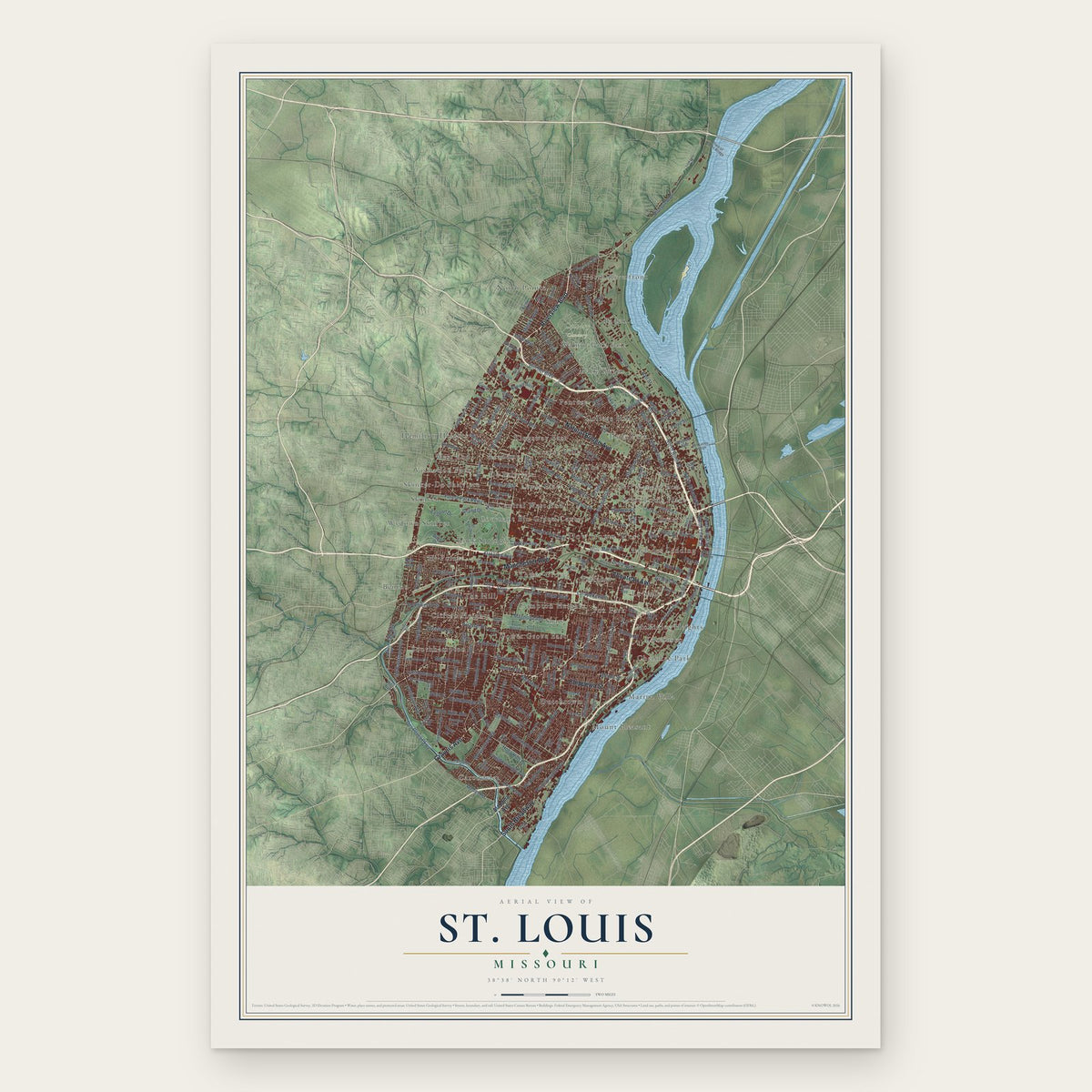
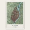
St. Louis, Missouri Map Art
Building by building, with labeled streets and shaded relief.
12" x 18" Archival Matte Print
A Map of Home. A Work of Art.
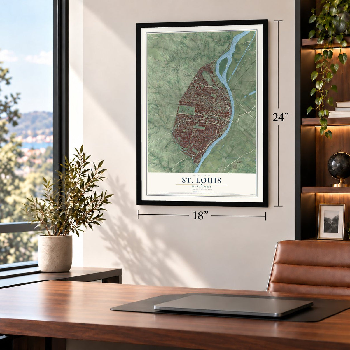
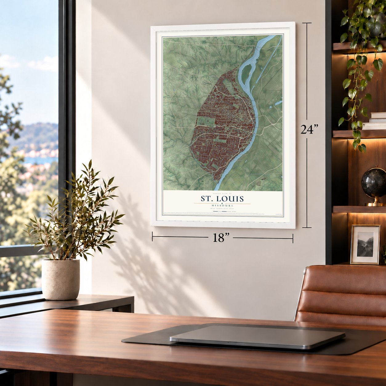
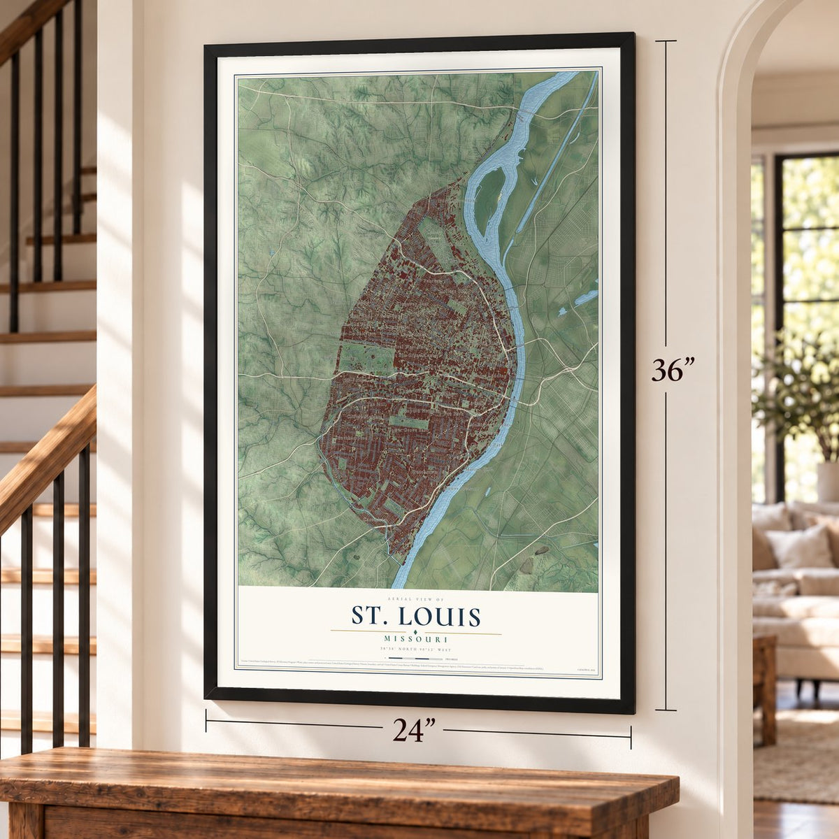
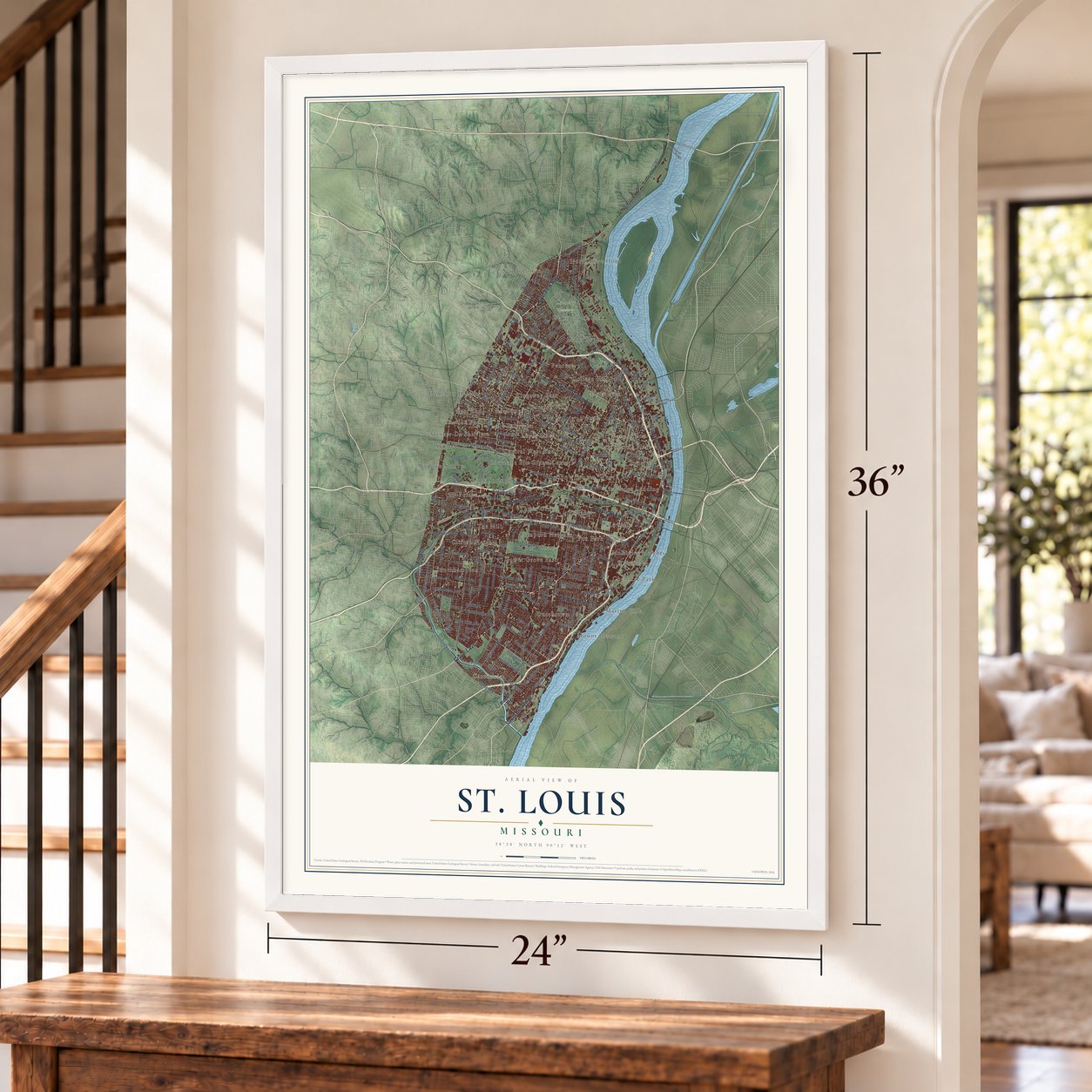
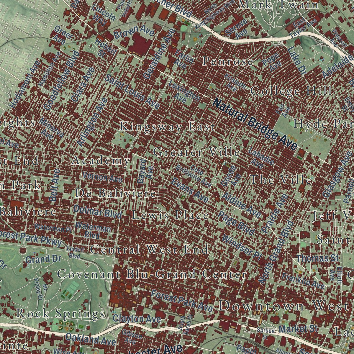
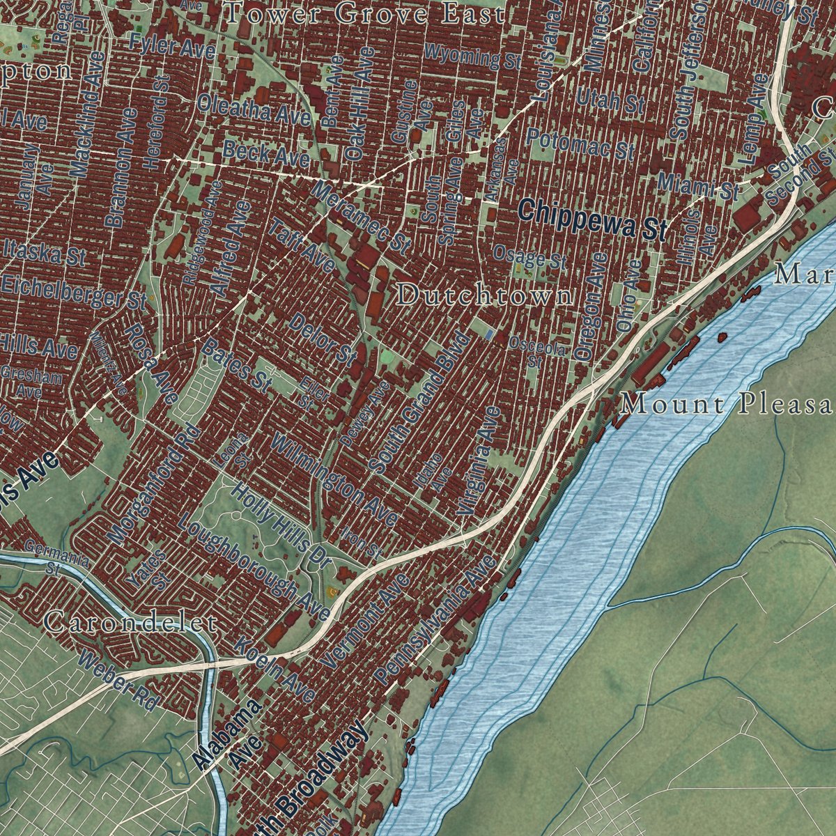
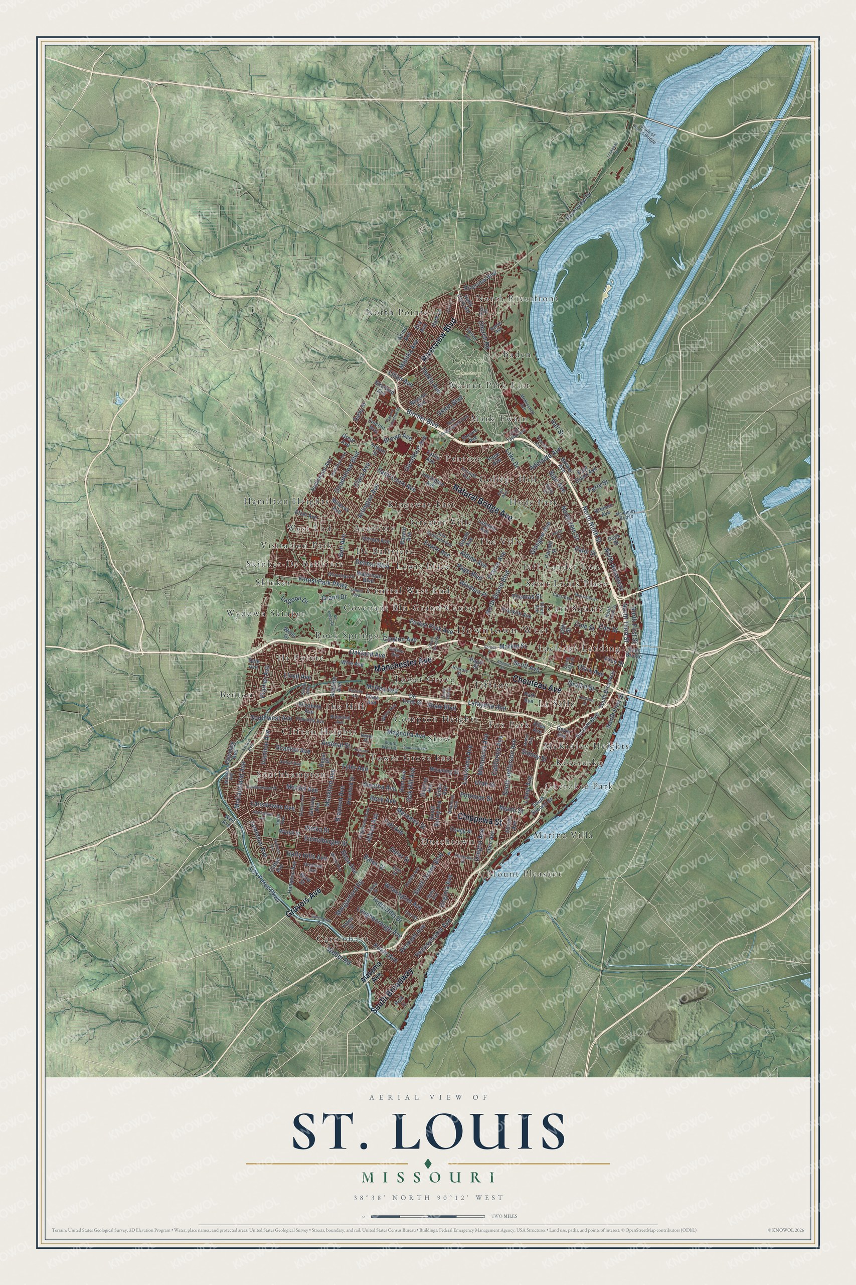
Explore St. Louis, Missouri from a whole new perspective. Created using aerial imagery and detailed geographic data, this map captures St. Louis building by building, with labeled streets, familiar landmarks, and shaded topographical relief that highlights the natural contours of the landscape.
Combining modern data with the timeless character of a vintage atlas, this map is just as interesting up close as it is beautiful on the wall. Whether you grew up in St. Louis, spent memorable years there, or call it home today, this unique map is a great way to celebrate a place that means something to you. Zoom in on the preview to look for your street, and then order a print to put your memories on the wall.
Three ways to hang it
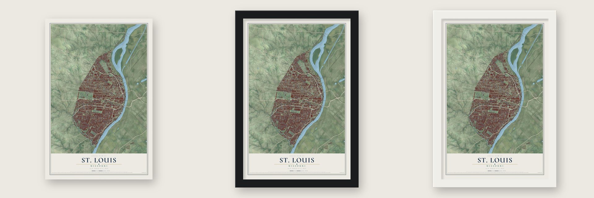
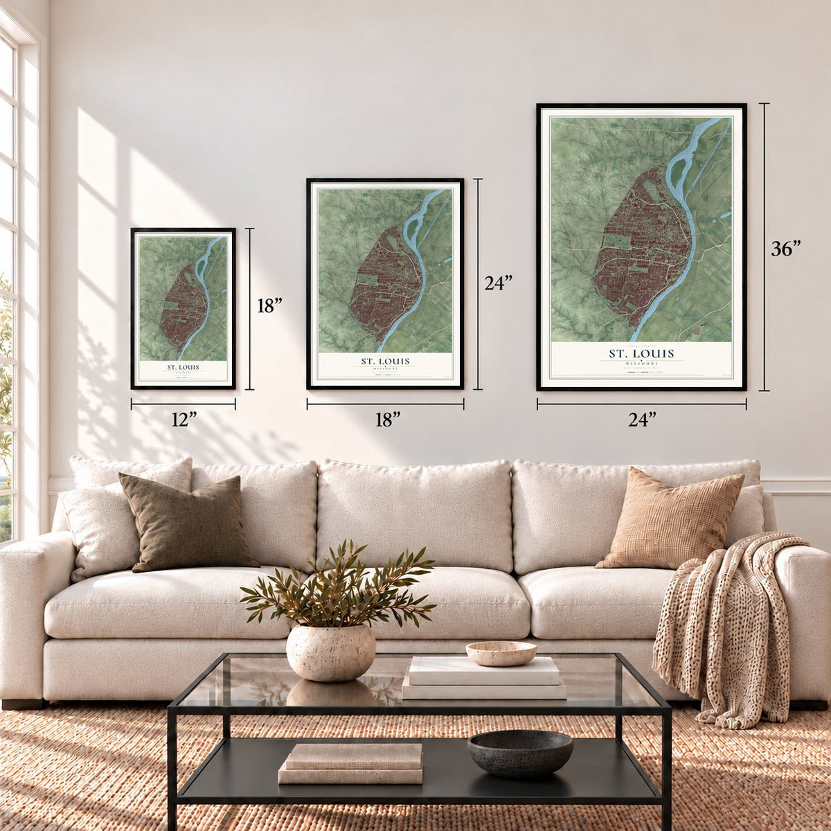
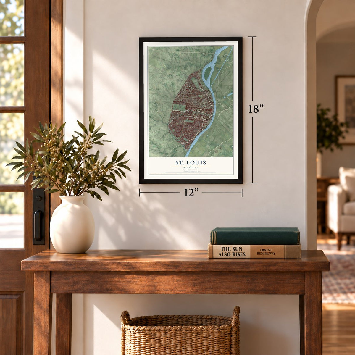
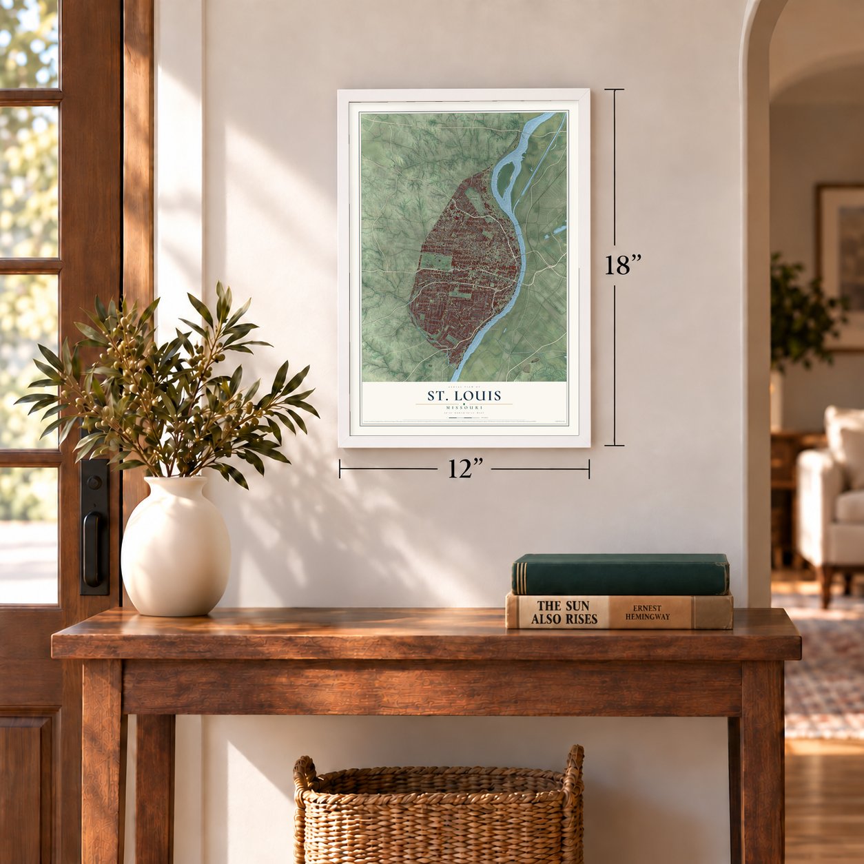
Unframed archival matte, a black wood frame or a white wood frame.
Up close
Geography Worth Displaying
This map was created using accurate cartographic data and authoritative geographic sources, including the U.S. Geological Survey and the Census Bureau. The map brings together terrain, waterways, roads, and building detail. The majority of the streets are labeled, houses are accurately depicted, and the topography is derived from government sources. Combining local data with carefully composed color and shading leads to this beautifully detailed St. Louis artwork for your wall.
Rather than simply showing street outlines, we’ve included as many of the street names as we could reasonably fit on the map while keeping their names legible. Zoom in on the high resolution preview to see exactly what’s on the map. We truly set out to create a statement piece for anyone who loves St. Louis. So whether it’s for you, or a gift for someone you love, we hope this map of St. Louis brings back fond memories.
Read the story behind this map of St. Louis, Missouri from 2026.
Find your street
Names on the St. Louis map
Every name below is printed on this map. Look for your street, your school, the park where you played, or the pond down the road.
Places and landmarks48
- Downtown West
- Calvary Cemetery
- Benton
- Skinker-De Baliviere
- Cherokee Park
- Mount Pleasant
- North Riverfront
- Southhampton
- Tower Grove
- Penrose
- Lewis Place
- Saint Louis Place
Show all 48 places
- Wydown Skinker
- Lacledes Landing
- The Ville
- The Hill
- Carondelet
- Hamilton Heights
- West End
- Kosciusko
- La Salle
- North Pointe
- Walnut Park East
- College Hill
- Marina Villa
- Hi-Pointe
- Covenant Blu-Grand Center
- Tower Grove East
- Central West End
- Compton Heights
- Carr Square
- Greater Ville
- De Baliviere
- Clifton Heights
- Shaw
- Academy
- Mark Twain
- Kingsway East
- Baden
- Tiffany
- Hyde Park
- Dutchtown
- Jeff Vander Lou
- McKinley Heights
- Rock Springs
- Visitation Park
- Skinker
- Fox Park
Streets and roads230
- Gravois Avenue
- Chippewa Street
- South Broadway
- Natural Bridge Avenue
- Riverview Boulevard
- Manchester Avenue
- Chouteau Avenue
- Market Street
- North Broadway
- South Jefferson Avenue
- Cole Street
- North Third Street
- Delmar Boulevard
- Palm Street
- Riverview Drive
- Holly Hills Avenue
- Goodfellow Boulevard
- Arsenal Street
- Saint Louis Avenue
- South Grand Boulevard
- Pennsylvania Avenue
- Minnesota Avenue
- Forest Park Avenue
- Virginia Avenue
- Forest Park Parkway
- Hall Street
- Potomac Street
- Union Boulevard
- Eichelberger Street
- Page Boulevard
Show all 230 streets
- Louisiana Avenue
- Des Peres Parkway
- Delor Street
- Itaska Street
- Macklind Avenue
- Morganford Road
- Lafayette Avenue
- Oleatha Avenue
- Magnolia Avenue
- North 20th Street
- Loughborough Avenue
- California Avenue
- Prairie Avenue
- McCausland Avenue
- Clayton Avenue
- Bircher Boulevard
- Jamieson Avenue
- Miami Street
- North Ninth Street
- North Grand Boulevard
- Lansdowne Avenue
- Blair Avenue
- Oregon Avenue
- Fyler Avenue
- Southwest Avenue
- Oakland Avenue
- Clara Avenue
- Sidney Street
- Utah Street
- Arlington Avenue
- Belt Avenue
- Mardel Avenue
- Gratiot Street
- Brannon Avenue
- Bates Street
- Alfred Avenue
- Meramec Street
- Ivanhoe Avenue
- Glasgow Avenue
- South First Street
- North First Street
- Pine Street
- Carr Street
- Grand Drive
- Evans Avenue
- McRee Avenue
- Geraldine Avenue
- Thekla Avenue
- Clark Avenue
- Taft Avenue
- Vermont Avenue
- Shaw Boulevard
- Wilmington Avenue
- Aldine Avenue
- Koeln Avenue
- Rosa Avenue
- Prather Avenue
- Lemp Avenue
- Adelaide Avenue
- Mimika Avenue
- Lilian Avenue
- Church Road
- Brown Avenue
- Holly Hills Drive
- Scanlan Avenue
- Oak Hill Avenue
- Lagoon Drive
- Weber Road
- Ferry Street
- Scott Avenue
- Beck Avenue
- Windsor Place
- Thomas Street
- Lake Drive
- Lloyd Avenue
- Alabama Avenue
- Parnell Street
- Stratford Avenue
- Hampton Avenue
- Park Avenue
- South Spring Avenue
- Ohio Avenue
- Wyoming Street
- Walsh Street
- January Avenue
- Clifton Avenue
- Lexington Avenue
- Greer Avenue
- Labadie Avenue
- 19th Street
- Gustine Avenue
- South Second Street
- Sublette Avenue
- Seventh Boulevard
- Blow Street
- Wells Drive
- Geyer Avenue
- Hodiamont Avenue
- Waterman Boulevard
- Papin Street
- Hebert Street
- Minerva Avenue
- Hereford Street
- Wise Avenue
- Allen Avenue
- Vernon Avenue
- Shreve Avenue
- Farlin Avenue
- Park Lane
- Dale Avenue
- Bremen Avenue
- Osage Street
- De Tonty Street
- East Grand Avenue
- Elizabeth Avenue
- Illinois Avenue
- Giles Avenue
- Beacon Avenue
- Ellendale Avenue
- Halls Ferry Road
- Bulwer Avenue
- Etzel Avenue
- Bent Avenue
- Regal Place
- Shaw Avenue
- Bayard Avenue
- Franklin Avenue
- Era Avenue
- Polk Street
- Darby Street
- Eads Bridge
- Goode Avenue
- Dock Street
- Acme Avenue
- Pope Avenue
- Yates Street
- Lincoln Way
- Weil Avenue
- Cote Brilliante Avenue
- Cass Avenue
- Tamm Avenue
- Hamilton Avenue
- Hickory Street
- Germania Street
- Botanical Avenue
- Kossuth Avenue
- Osceola Street
- North Tenth Street
- Leona Street
- Idaho Avenue
- Arkansas Avenue
- Switzer Avenue
- Columbia Avenue
- Reber Place
- Wabash Avenue
- Elliott Avenue
- Eiler Street
- Dewey Avenue
- Fair Avenue
- Lindenwood Place
- Arthur Avenue
- Mc Kinley Bridge
- Maury Avenue
- McKissock Avenue
- Iron Street
- Ridgewood Avenue
- Waterman Place
- Baden Avenue
- East Taylor Avenue
- Gibson Avenue
- Gresham Avenue
- South West Drive
- Chain of Rocks Bridge
- Frisco Avenue
- Emily Street
- Knox Avenue
- Gast Place
- South 16th Street
- North Kingshighway Boulevard
- Lindell Boulevard
- Sulphur Avenue
- Childress Avenue
- Nottingham Avenue
- South 39th Street
- Mullanphy Street
- Spruce Street
- Milentz Avenue
- Lookaway Drive
- South East Drive
- McNair Avenue
- South Sarah Street
- Farrar Street
- Mc Kinley Drive
- Prescott Avenue
- Tara Lane
- Planned Industrial Drive
- Pattison Avenue
- Atlantic Street
- Kemper Avenue
- Lebanon Drive
Names are listed as they appear on the printed map. Zoom into the product photos to find them.
About St. Louis, Missouri
St. Louis is an independent Missouri city near the meeting of the Mississippi and Missouri rivers. Founded by French fur traders in 1764, it grew into a major river port and became separate from St. Louis County in 1877. Its neighborhoods include The Hill, Soulard, Dutchtown, Carondelet, and the Central West End.
- Independent Since 1877St. Louis formally separated from St. Louis County in March 1877 and has remained an independent city.
- River Trade OriginsPierre Laclede and Auguste Chouteau established St. Louis in 1764 as a base for the regional fur trade.
- A Landmark YearIn 1904, St. Louis hosted both the Louisiana Purchase Exposition and the Summer Olympics.
- Baby Tooth SurveyBeginning in 1958, local volunteers collected children's teeth to study exposure to strontium-90 from nuclear fallout.
- Hundreds of ThousandsBy 1969, the Baby Tooth Survey had received more than three hundred thousand teeth from children across the St. Louis area.
Keep exploring Missouri
St. Louis is one of 1,207 Missouri towns we've mapped. Every dot on the map is a print of its own.
The search covers every state, Missouri first.
Near St. Louis
Order 2 or more town maps and save 10%. Shown in the size and finish you picked above, so they hang as a set.
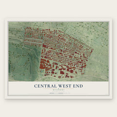
- Central West End 12" x 18" / Archival Matte Print $39.99
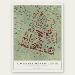
- Covenant Blu-Grand Center 12" x 18" / Archival Matte Print $39.99
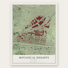
- Botanical Heights 12" x 18" / Archival Matte Print $39.99
More maps nearby: Tiffany, Vandeventer, Gate District, Lewis Place and Shaw.
The art of mapping a place
How This Map Was Made
Real places. Remarkable detail. Discover the layers that turn geographic data into a map of home.

The view from above
Aerial imagery reveals the character of the land: woodland, open fields, and the patterns of a place.

The shape of the land
Elevation data brings hills, valleys, and subtle changes in the landscape into view.

The details of home
Roads, waterways, and building footprints come together to make the map feel unmistakably local.

Geography becomes art
Considered color, shading, and typography bring the layers together in a map made for your wall.


Process illustrated with Mendon, Massachusetts. Aerial imagery: USDA NAIP. Terrain: USGS 3D Elevation Program. Map details and finished artwork: KNOWOL.
The Details
About This Print
Choose an archival matte print, or a black or white Ayous wood frame. The archival matte print is unframed.
Select your size and finish above to see the matching product image and price.
Materials & Craftsmanship
A contemporary map with the character of a classic atlas, printed on archival matte paper. Optional frames are made from Ayous wood.
Your printed map does not include the watermark shown in the full-map preview.
Shipping & Delivery
Free shipping within the United States. Every print is made to order in the USA.
Buying a gift? Add a note in your cart and we'll include it. We never put prices in the package.
Prints ship within 2 to 3 business days. Allow 7 to 10 days total from ordering for delivery. Timing may vary during holidays or periods of high order volume.
Read our shipping policy.
Returns and damaged prints
Each print is made to order. Change-of-mind refunds are not available after production.
If your print arrives damaged, misprinted or incorrect, contact support@knowol.com within 30 days of receiving it. Include your order number, photos and a description of the issue.
Read our full refund and replacement policy. For questions about your order, email support@knowol.com.