
Search for another town

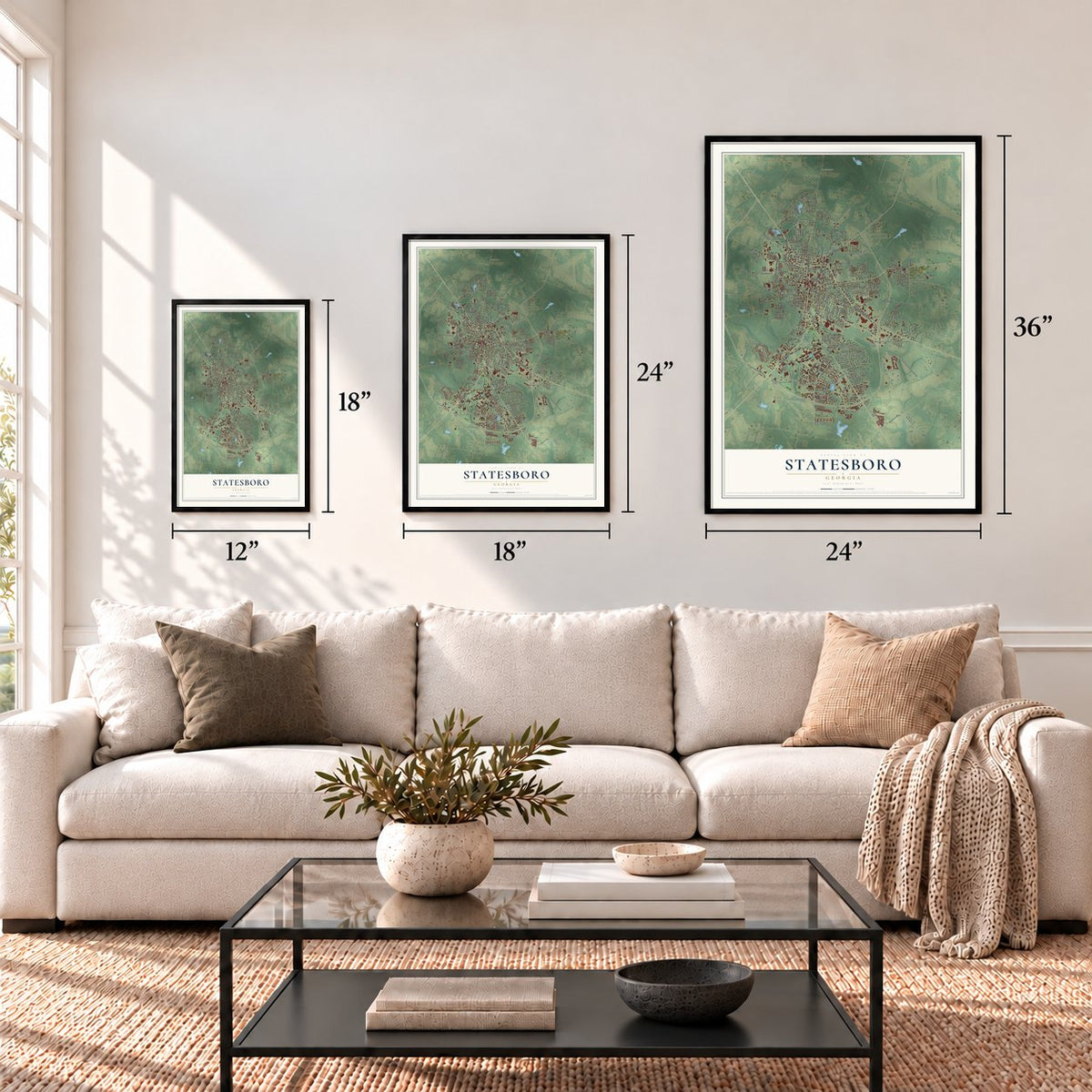

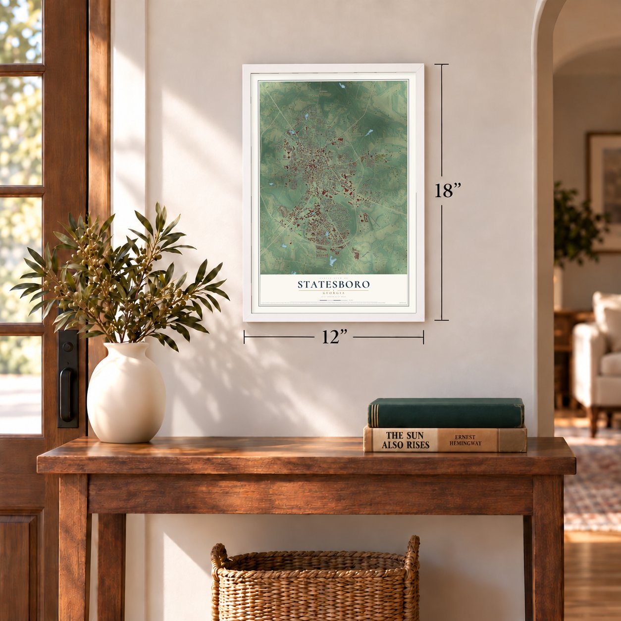

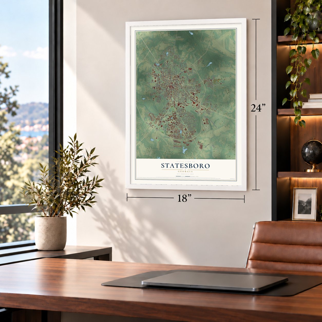

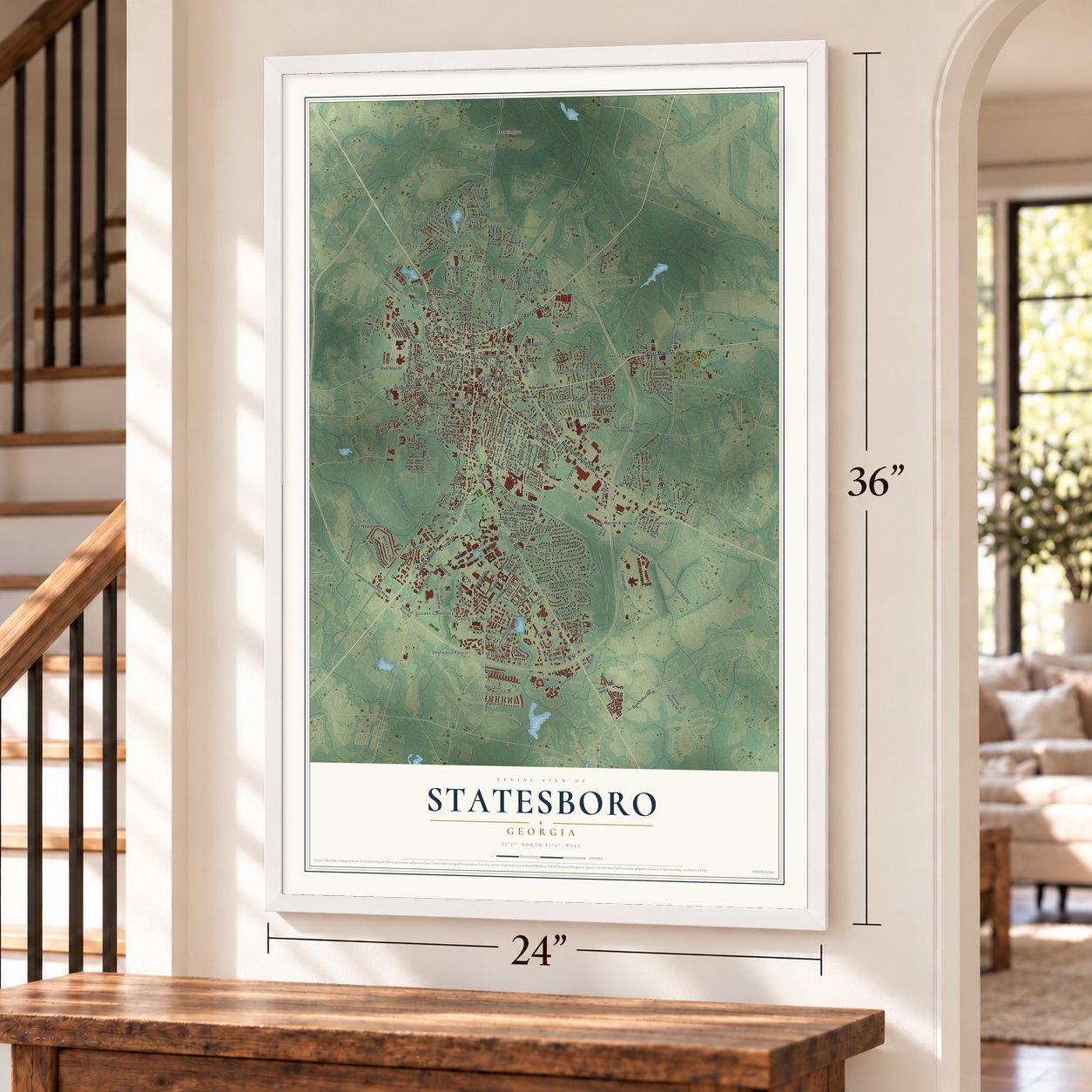

Free U.S. delivery 7 to 10 days after you order
Statesboro, Georgia Map Art
A new map of Statesboro, Georgia, made in 2026 and printed to order on thick archival matte paper.
12" x 18" Archival Matte Print
A Map of Home. A Work of Art.
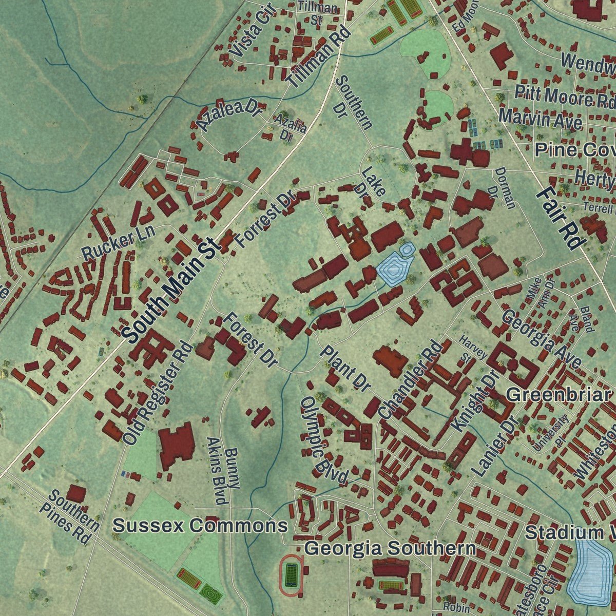
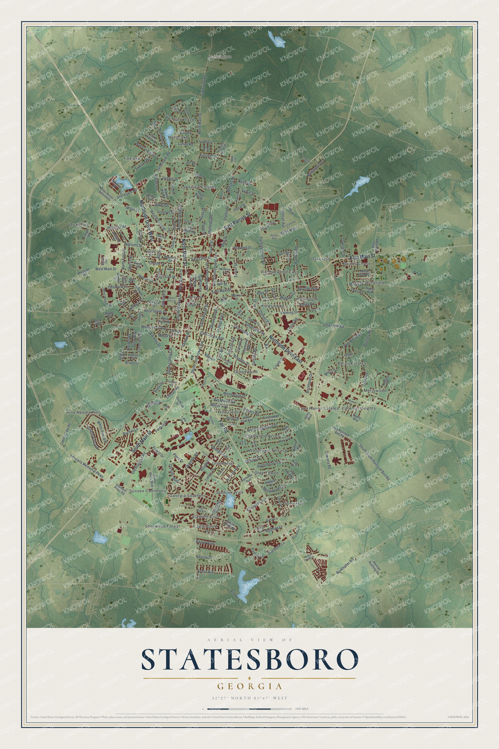
Explore Statesboro, Georgia from a whole new perspective. Created using aerial imagery and detailed geographic data, this map captures Statesboro building by building, with labeled streets, familiar landmarks, and shaded topographical relief that highlights the natural contours of the landscape.
Combining modern data with the timeless character of a vintage atlas, this map is just as interesting up close as it is beautiful on the wall. Whether you grew up in Statesboro, spent memorable years there, or call it home today, this unique map is a great way to celebrate a place that means something to you. Zoom in on the preview to look for your street, and then order a print to put your memories on the wall.
Three ways to hang it
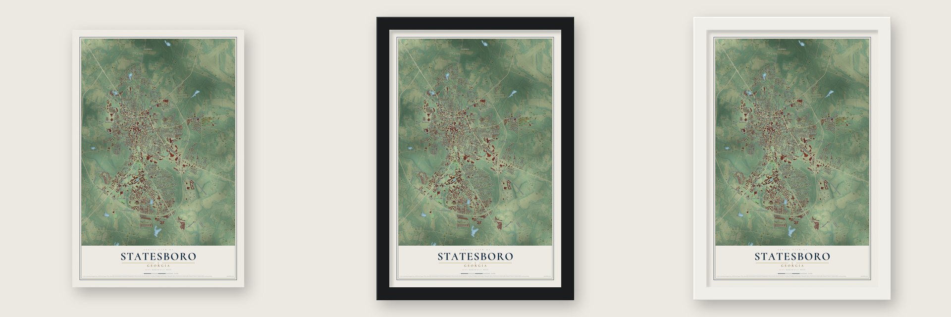
Unframed archival matte, a black wood frame or a white wood frame.
Up close
Geography Worth Displaying
This map was created using accurate cartographic data and authoritative geographic sources, including the U.S. Geological Survey (USGS) and FEMA. The map brings together terrain, waterways, roads, and building detail. The majority of the streets are labeled, houses are accurately depicted, and the topography is derived from government sources. Combining local data with carefully composed color and shading leads to this beautifully detailed Statesboro artwork for your wall.
Rather than simply showing street outlines, we’ve included as many of the street names as we could reasonably fit on the map while keeping their names legible. Zoom in on the high resolution preview to see exactly what’s on the map. We truly set out to create a statement piece for anyone who loves Statesboro. So whether it’s for you, or a gift for someone you love, we hope this map of Statesboro brings back fond memories.
Explore the full map of Statesboro, Georgia and read about the local places it shows.

About Statesboro, Georgia
Statesboro is a city of 33,438 people and the county seat of Bulloch County, in southeastern Georgia. In 1801 George Sibbald of Augusta gave 9,301 acres so the county could have a seat near its center. State lawmakers created the town of Statesborough in December 1803. The name most likely came from states' rights, a big issue in the 1800 presidential election. In 1866 the legislature gave the city a permanent charter and shortened the spelling to Statesboro.
White planters turned the land around the town into cotton plantations worked by enslaved Black people. Statesboro grew up as a small trading post that sold them basic supplies. After the Civil War many freed people stayed on as sharecroppers and tenant farmers. Then white mobs turned to violence, and on August 16, 1904, they lynched three Black men near town. Many Black families left for the North, and the city grew more slowly from 1910 to 1930.
- Sherman's men pass throughDuring Sherman's March to the Sea, a Union officer asked a saloon keeper the way to Statesboro. The man told him he was already standing in the center of it, because the town was that small. The soldiers then burned the courthouse. It was a log building that also served as a barn when court wasn't meeting.
- World leader in Sea Island CottonIn 1908 Statesboro sold more long-staple Sea Island Cotton than any other place in the world. The boll weevil wiped out the cotton crop in the 1930s, so farmers turned to tobacco. By 1953 more than 20 million pounds of it moved through the town's warehouses. That made Statesboro the largest market in the Bright Tobacco Belt of Georgia and Florida.
- Georgia Southern since 1906The First District Agricultural & Mechanical School opened here in 1906 as a land grant college for white students only. In the 1920s it began training teachers. It became Georgia Normal School in 1924 and South Georgia Teachers College in 1929. In 1939 it became Georgia Teachers College, and in 1959 Georgia Southern College. After it integrated, it won university status in 1990. Its Eagles won six national football titles at the FCS level.
- The Statesboro BluesBlind Willie McTell wrote "Statesboro Blues" about the town in the 1920s. Years later the Allman Brothers Band recorded the song, and their version became well known.
- The Lady of 6,000 SongsDowntown, the Old Bank of Statesboro and the Georgia Theater were made over into the David H. Averitt Center for the Arts. Its stage is the Emma Kelly Theater. It is named for Emma Kelly, a local singer called the "Lady of 6,000 Songs." Downtown streets have also shown up in movies, such as Now and Then (1995).
Find your street
Names on the Statesboro map
Every name below is printed on this map. Look for your street, your school, the park where you played, or the pond down the road.
Places and landmarks30
- Huntington
- Belair Estates
- Brians Chase
- Colonial Heights
- Eagle Court
- Edgewood Acres
- Foxlake
- Georgia Southern
- Greenbriar
- Greenwood
- Inglewood
- Kingswood
Show all 30 places
- Lakeview Estates
- Lynn Haven Estates
- Merrywood
- Northlake
- Oakcrest
- Olde Towne
- Pate Place
- Pine Cove
- Pine Needle Hills
- Quail Run
- Ramblewood East
- Sherwood Forest
- Somerset
- Stadium Club
- Stadium Walk
- Sussex Commons
- Windfield
- Woodlawn Terrace
Streets and roads255
- Northside Drive West
- East Parrish Street
- North Main Street
- East Main Street
- Northside Drive East
- Fair Road
- South Main Street
- West Parrish Street
- East Grady Street
- West Grady Street
- Brannen Street
- East Jones Avenue
- West Jones Avenue
- Blitch Street
- Brampton Avenue
- South College Street
- Institute Street
- Tillman Road
- Stockyard Road
- South Zetterower Avenue
- Rogers Road
- Forrest Drive
- Stanbuck Lane
- Veterans Memorial Parkway
- Beasley Road
- Lanier Drive
- Gentilly Road
- Zetterower Road
- West Main Street
- Old Register Road
Show all 255 streets
- Cawana Road
- Chandler Road
- South South Railroad Bed Road
- Williams Road
- Savannah Avenue
- Packinghouse Road
- East Olliff Street
- North College Street
- Mathews Road
- Jones Mill Road
- Miller Street
- Peg Wen Boulevard
- Georgia Avenue
- Lester Road
- Johnson Street
- Proctor Street
- North Zetterower Avenue
- Oak Street
- South Walnut Street
- North Edgewood Drive
- Lee Street
- Donaldson Street
- Denmark Street
- College Boulevard
- Park Avenue
- Bruce Drive
- South Broad Street
- Wendwood Drive
- Forest Drive
- Scotch Pine Avenue
- Northlake Drive
- Williams Street
- Railroad Street
- Lakeview Road
- Burkhalter Road
- Donehoo Street
- Hill Street
- Nassau Drive
- Shelby Street
- Rackley Street
- Fletcher Drive
- Pitt Moore Road
- White Pine Avenue
- Ramble Road
- Joyce Street
- Harden Road
- Church Street
- Azalea Drive
- Lewis Street
- Cromartie Drive
- Aruba Avenue
- Herty Drive
- Board Walk
- Fleming Drive
- Debbie Drive
- Jewell Drive
- Braswell Street
- Deer Road
- Knight Drive
- Cindy Lane
- Turner Street
- Valley Road
- Olympic Boulevard
- Mikell Street
- North Mulberry Street
- Marvin Avenue
- Henry Street
- Elm Street
- Belair Drive
- Carmel Drive
- Wilburn Circle
- Vista Circle
- Willis Way
- Jef Road
- Lovett Drive
- North Foss Street
- Foxlake Road
- Cone Street
- Rucker Lane
- Bridgeport Drive
- Bea Dot Way
- Ladd Circle
- Greenbriar Trail
- Morris Street
- Mincey Street
- Gary Lane
- Groover Street
- Buckhead Drive
- Maple Drive
- Rushing Lane
- Plant Drive
- Aldred Avenue
- Merrywood Drive
- Lanier Road
- Davis Street
- Allman Avenue
- Benson Drive
- Acorn Trail
- Oakcrest Drive
- Echo Way
- Hart Street
- Central Street
- Kent Street
- Reed Street
- Gary Street
- Best Street
- North Street
- Bermuda Run
- James Street
- Billy Mikell Road
- Bunny Akins Boulevard
- Copper Beach Road
- Myrtle Crossing Lane
- Blue Ridge Drive
- Statesboro Place Circle
- Sandy Way
- Bulloch Street
- Greenwood Avenue
- Granade Street
- Moss Creek Circle
- Cardinal Drive
- Southern Drive
- Stillwell Street
- Aldred Hill Road
- East Cherry Street
- Grove Circle
- Windsor Way
- Olde Towne Drive
- Rountree Street
- Holly Drive
- Henry Boulevard
- Herman Rushing Road
- Stambuk Lane
- S&S Railroad Bed Road
- Cypress Lake Road
- Westside Road
- West Inman Street
- College Lane
- North Walnut Street
- Parker Street
- Laircey Street
- Clairborne Avenue
- West Altman Street
- Jodi Place
- Oakleaf Drive
- Nelson Street
- Whitestone Road
- Duke Road
- Quail Run Drive
- Timber Road
- Miller Street Extended
- John Paul Avenue
- Cotton Avenue
- Oak Hollow Drive
- Hendrix Street
- Anthony Street
- Poplar Street
- Sunview Drive
- Johnson Lane
- Francis Scott Drive
- Poplar Avenue
- Green Street
- Southern Pines Road
- Lynn Avenue
- East Moore Street
- Thomas Street
- Terry Lane
- Shady Trail
- Jet Drive
- Bay Street
- Slash Drive
- Maple Street
- East Avenue
- Bird Road
- Lake Drive
- Lott Street
- King Drive
- Pine Street
- Love Lane
- Woodrow Avenue
- Pinewood Drive
- Dorman Drive
- Preston Drive
- Briarwood Road
- Teressa Drive
- Raymond Street
- Lakeland Drive
- East Vine Street
- Azalia Drive
- Highland Road
- Lindberg Street
- Butler Street
- Outland Street
- Lynda Drive
- South Foss Street
- Tillman Street
- Aiken Street
- Pine Drive
- Laurel Lane
- South Edgewood Drive
- Westlake Drive
- Braxton Boulevard
- Wilburn Road
- Carter Drive
- Robin Hood Trail
- University Place
- Harvey Street
- West Cherry Street
- Garfield Street
- Forest Way
- Valley Circle
- Mike Ann Drive
- Siebald Street
- Terrell Drive
- Ed Moore Court
- Cade Avenue
- Pine Cone Court
- Honey Lane
- Bland Avenue
- Bird Lane
- McKinnon Street
- Aspen Heights Drive
- Hart Lane
- Edwina Drive
- Harris Street
Names are listed as they appear on the printed map. Zoom into the product photos to find them.
The art of mapping a place
How This Map Was Made
Real places. Remarkable detail. Discover the layers that turn geographic data into a map of home.

The view from above
Aerial imagery reveals the character of the land: woodland, open fields, and the patterns of a place.

The shape of the land
Elevation data brings hills, valleys, and subtle changes in the landscape into view.

The details of home
Roads, waterways, and building footprints come together to make the map feel unmistakably local.

Geography becomes art
Considered color, shading, and typography bring the layers together in a map made for your wall.


Process illustrated with Mendon, Massachusetts. Aerial imagery: USDA NAIP. Terrain: USGS 3D Elevation Program. Map details and finished artwork: KNOWOL.
The Details
About This Print
Choose an archival matte print, or a black or white Ayous wood frame. The archival matte print is unframed.
Select your size and finish above to see the matching product image and price.
Materials & Craftsmanship
A contemporary map with the character of a classic atlas, printed on archival matte paper. Optional frames are made from Ayous wood.
Your printed map does not include the watermark shown in the full-map preview.
Shipping & Delivery
Free shipping within the United States. Every print is made to order in the USA.
Buying a gift? Add a note in your cart and we'll include it. We never put prices in the package.
Prints ship within 2 to 3 business days. Allow 7 to 10 days total from ordering for delivery. Timing may vary during holidays or periods of high order volume.
Read our shipping policy.
Returns and damaged prints
Each print is made to order. Change-of-mind refunds are not available after production.
If your print arrives damaged, misprinted or incorrect, contact support@knowol.com within 30 days of receiving it. Include your order number, photos and a description of the issue.
Read our full refund and replacement policy. For questions about your order, email support@knowol.com.
Find your town
Looking for another city?
Find a map of home in our Georgia collection, or any town in the country.
Nearby
Maps of towns near Statesboro
Know someone from one of these towns? Their map makes a great gift.
 Brooklet
, Georgia
From $39.99See the map
 Register
, Georgia
From $39.99See the map
 Pulaski
, Georgia
From $39.99See the map
More maps nearby: Portal, Oliver, Rocky Ford, Metter and Newington.