
Search for another town
Free U.S. delivery 7 to 10 days after you order
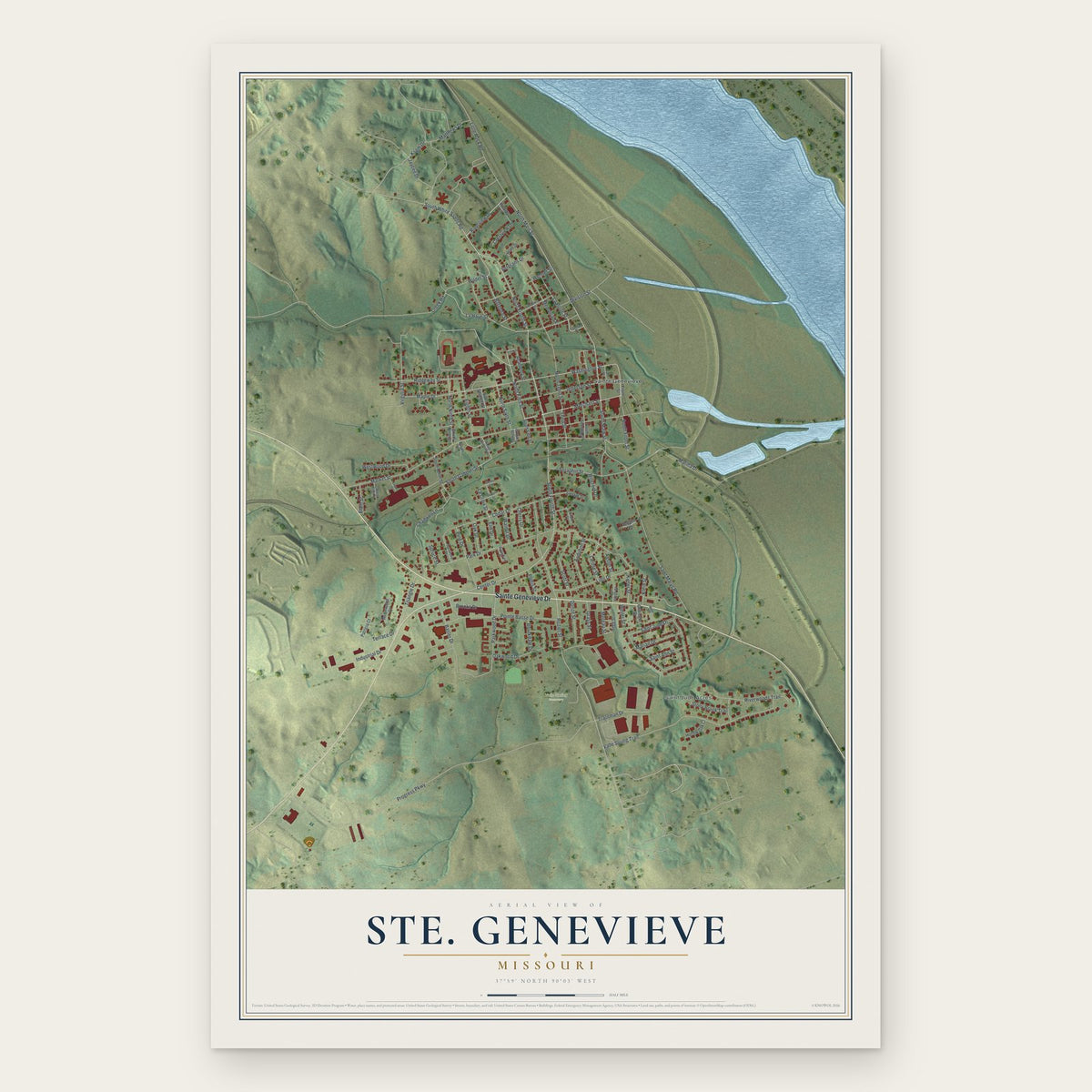
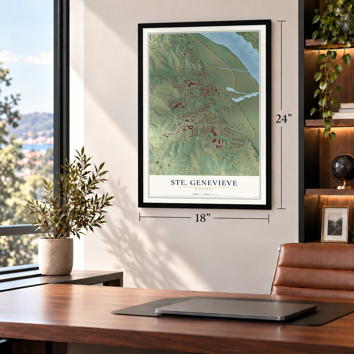
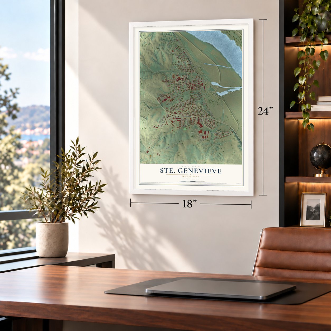
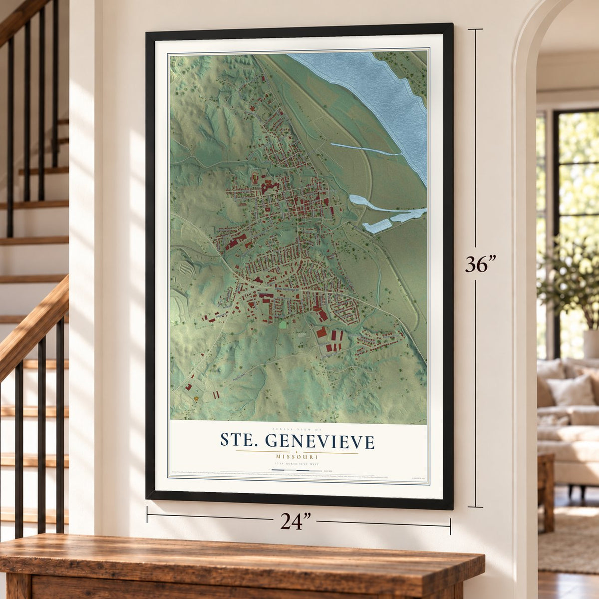
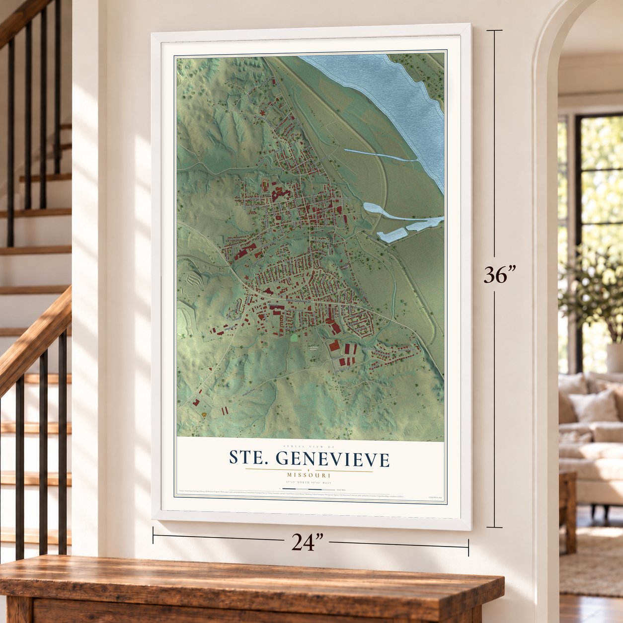
Ste. Genevieve, Missouri Map Art
Building by building, with labeled streets and shaded relief.
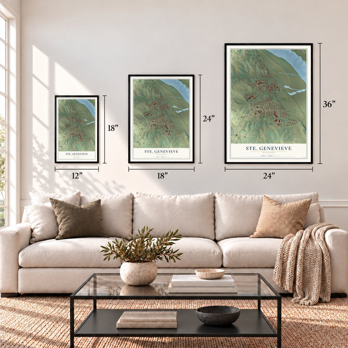
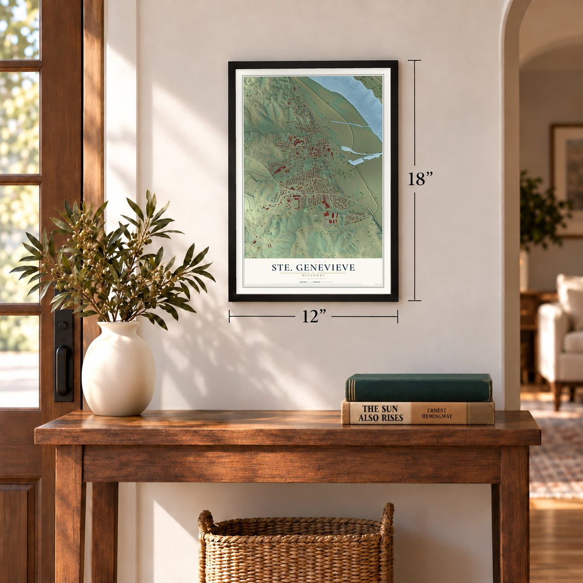
12" x 18" Archival Matte Print
A Map of Home. A Work of Art.
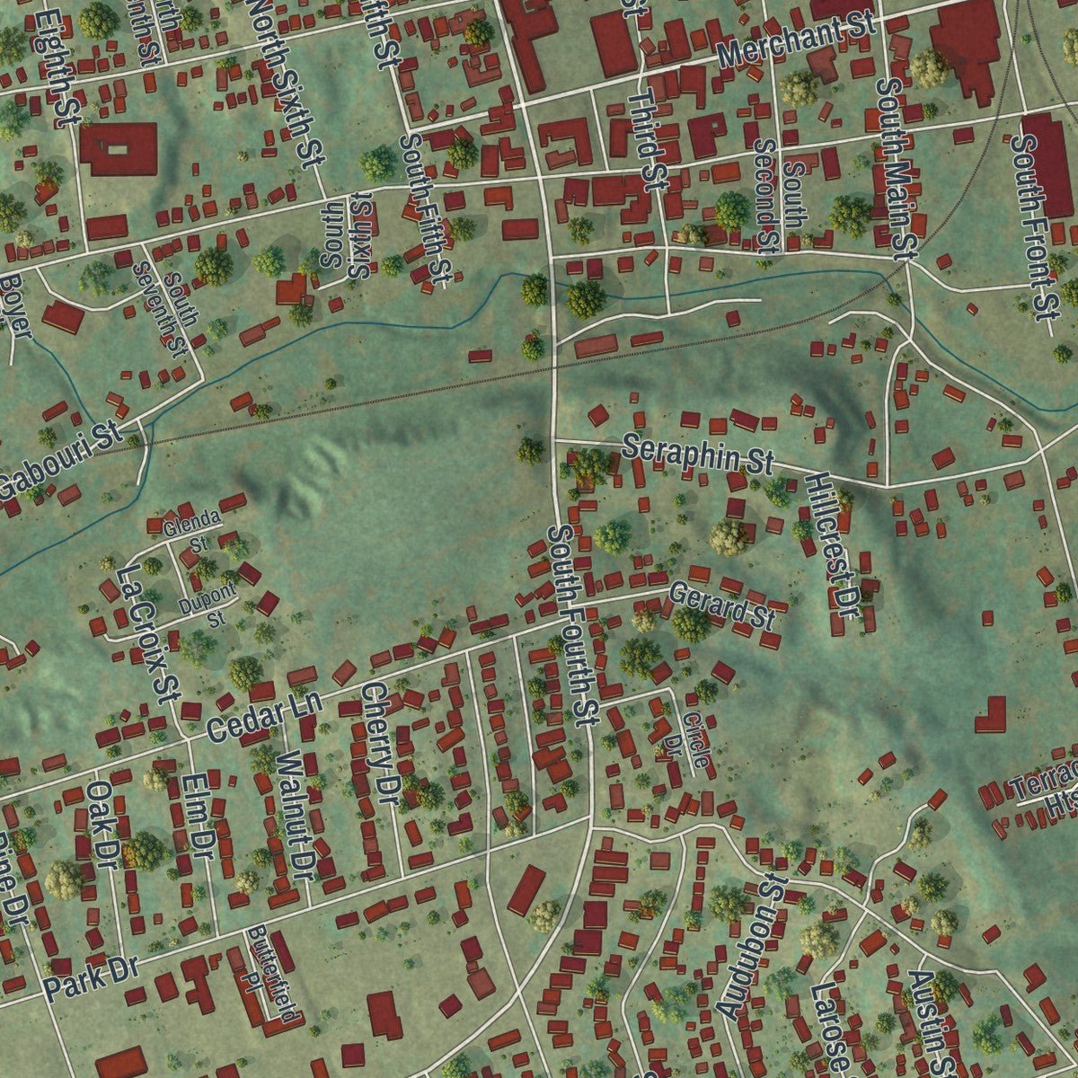
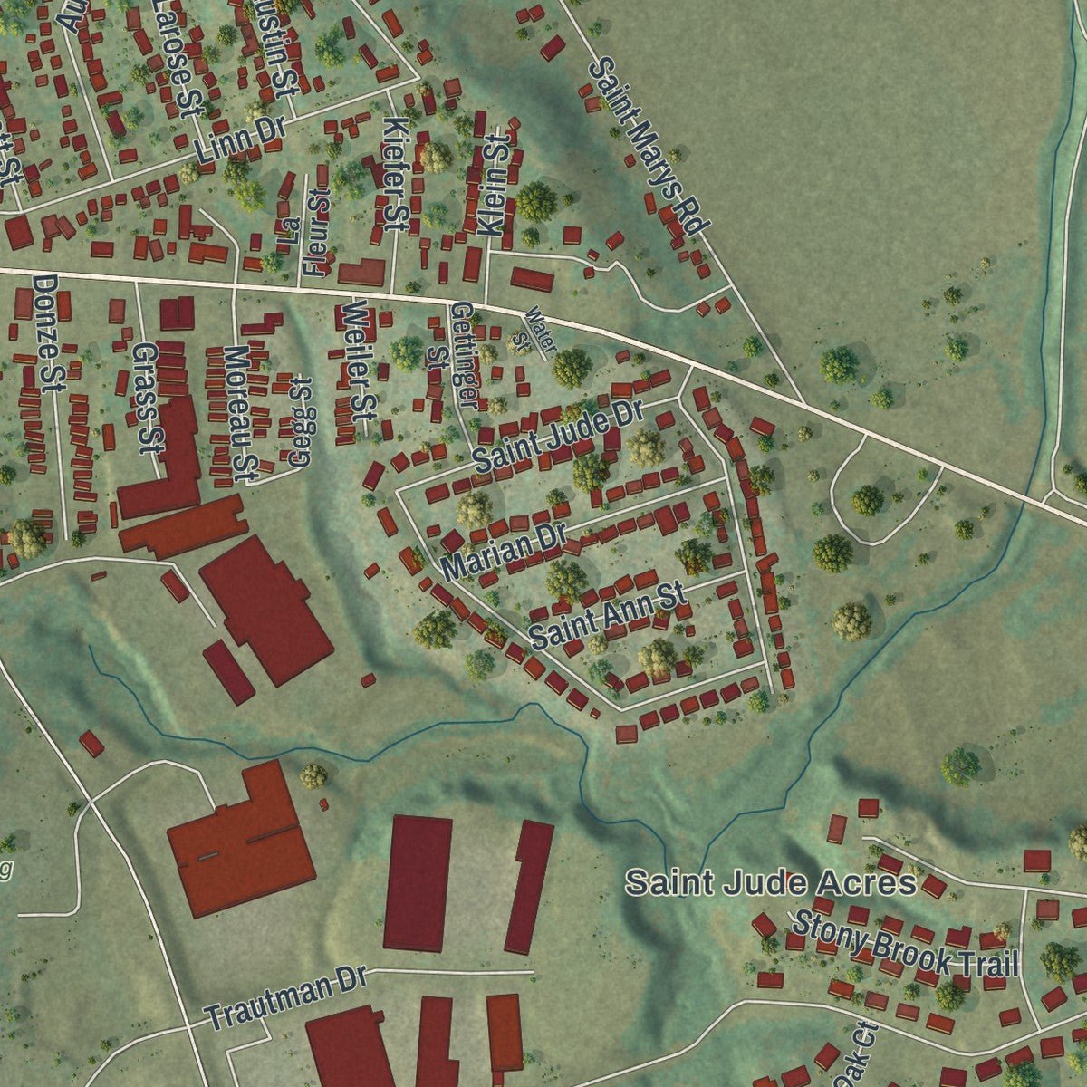
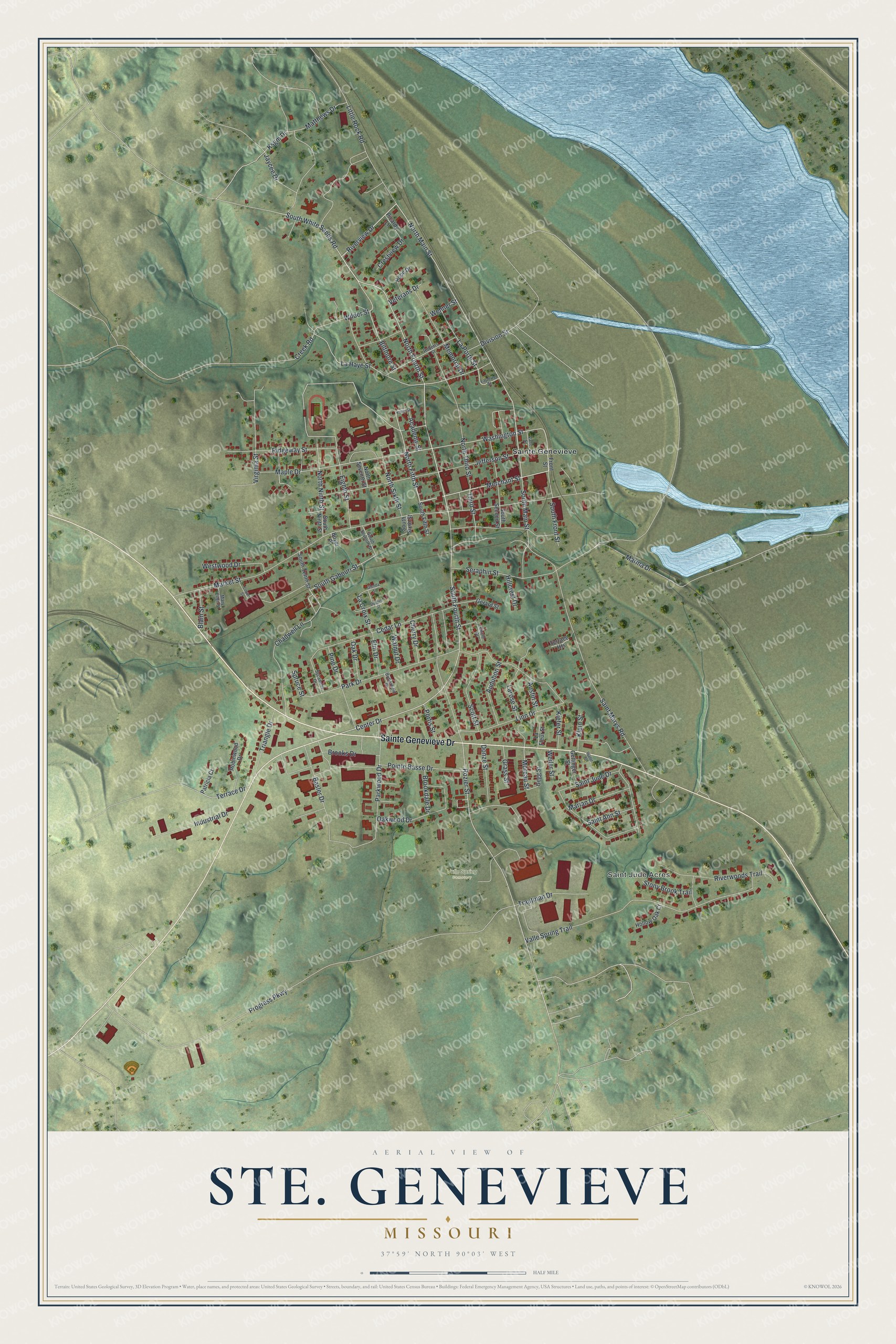
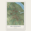
Explore Ste. Genevieve, Missouri from a whole new perspective. Created using aerial imagery and detailed geographic data, this map captures Ste. Genevieve building by building, with labeled streets, familiar landmarks, and shaded topographical relief that highlights the natural contours of the landscape.
Combining modern data with the timeless character of a vintage atlas, this map is just as interesting up close as it is beautiful on the wall. Whether you grew up in Ste. Genevieve, spent memorable years there, or call it home today, this unique map is a great way to celebrate a place that means something to you. Zoom in on the preview to look for your street, and then order a print to put your memories on the wall.
Three ways to hang it
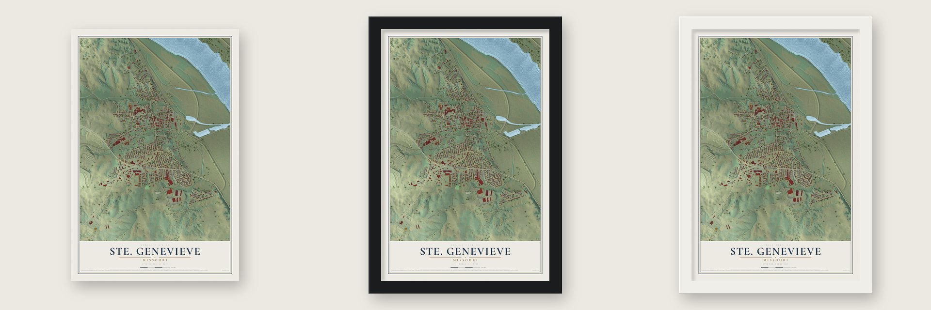
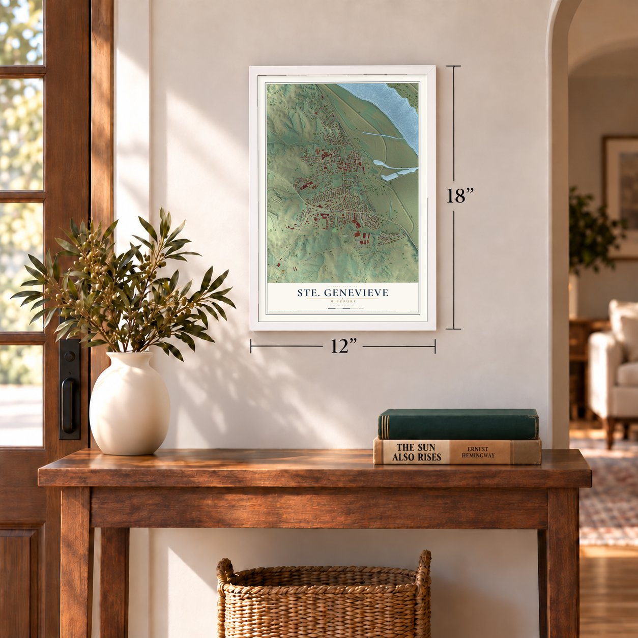
Unframed archival matte, a black wood frame or a white wood frame.
Up close
Geography Worth Displaying
This map was created using accurate cartographic data and authoritative geographic sources, including the U.S. Geological Survey and the Census Bureau. The map brings together terrain, waterways, roads, and building detail. The majority of the streets are labeled, houses are accurately depicted, and the topography is derived from government sources. Combining local data with carefully composed color and shading leads to this beautifully detailed Ste. Genevieve artwork for your wall.
Rather than simply showing street outlines, we’ve included as many of the street names as we could reasonably fit on the map while keeping their names legible. Zoom in on the high resolution preview to see exactly what’s on the map. We truly set out to create a statement piece for anyone who loves Ste. Genevieve. So whether it’s for you, or a gift for someone you love, we hope this map of Ste. Genevieve brings back fond memories.
Read the story behind this map of Ste. Genevieve, Missouri from 2026.
Find your street
Names on the Ste. Genevieve map
Every name below is printed on this map. Look for your street, your school, the park where you played, or the pond down the road.
Places and landmarks3
- Saint Jude Acres
- Valle Spring Cemetery
- Sainte Genevieve
Streets and roads115
- Sainte Genevieve Drive
- North Fourth Street
- Riverview Drive
- Merchant Street
- South Fourth Street
- North Main Street
- Center Drive
- North Fifth Street
- South White Sands Road
- Washington Street
- La Haye Street
- Moreau Street
- South Gabouri Street
- Progress Parkway
- Market Street
- Rozier Street
- Linn Drive
- Saint Marys Road
- Valle Spring Trail
- Jefferson Street
- Saint Jude Drive
- Little Rock Road
- Parkwood Drive
- Cedar Lane
- North Third Street
- Matthews Drive
- Park Drive
- North Sixth Street
- Biltmore Street
- Marina Drive
Show all 115 streets
- Riverwoods Trail
- Chadwell Lane
- Virginia Street
- Ridgeway Street
- Oakwood Drive
- Seraphin Street
- South Main Street
- La Porte Street
- Memorial Drive
- Industrial Drive
- Pine Drive
- Pointe Basse Drive
- Basler Drive
- Scott Street
- Wilder Street
- Eighth Street
- Wehner Street
- South Front Street
- Trautman Drive
- Triangle Drive
- North Ninth Street
- Division Street
- Westwood Drive
- Audubon Street
- Marian Drive
- Maple Drive
- Donze Street
- Jaycee Drive
- Larose Street
- Terrace Drive
- Third Street
- Stony Brook Trail
- La Croix Street
- Saint Ann Street
- Brookdale Drive
- Kiefer Street
- Ksgm Drive
- Grass Street
- Elm Drive
- Oak Drive
- Walnut Drive
- Cherry Drive
- Spruce Street
- Blain Street
- Crestview Drive
- Veterans Drive
- Academy Street
- Brooks Drive
- Portis Street
- Klein Street
- Creek Road
- Hillcrest Drive
- Austin Street
- Weiler Street
- Front Street
- Robinwood Drive
- Gerard Street
- South Second Street
- South Tenth Street
- Hollow Oak Court
- Gettinger Street
- South Fifth Street
- Hope Drive
- Picardy Lane
- Terrace Heights
- North Seventh Street
- Patricia Court
- South Ninth Street
- Gegg Street
- South Sixth Street
- La Fleur Street
- Boyer Place
- Laporte Street
- Roberts Street
- Butterfield Place
- South Seventh Street
- Sycamore Drive
- Mary Ellen Street
- Valle Street
- Circle Drive
- Kohm Street
- Dupont Street
- Coyne Street
- Glenda Street
- Water Street
Names are listed as they appear on the printed map. Zoom into the product photos to find them.
About Ste. Genevieve, Missouri
Ste. Genevieve is a city of 4,999 people and the seat of Ste. Genevieve County, on the Mississippi River. Its founders were Canadian settlers and families from the French villages of the Illinois Country, who crossed the river because the soil around their older villages had worn out. Old accounts placed the founding around 1735, but historian Carl Ekberg found that about 1750 is more likely. In 1764 a Jesuit priest, Father Phillibert Watrin, described the village as 15 years old. That makes it the oldest permanent European town in Missouri.
The first village sat on the Mississippi floodplain. After the great flood of 1785, its people rebuilt it about a half mile inland, two miles to the north. France had secretly given the west bank to Spain in 1762, and Spain ruled for more than 40 years, yet the town kept its French language and customs. Farmers worked long, narrow strips in a shared Big Field and sent many tons of flour south to New Orleans every year. In 1807, after the Louisiana Purchase, territorial secretary Frederick Bates called Ste. Genevieve the wealthiest village in all of Louisiana.
- Louis Bolduc's houseLouis Bolduc built a small house in 1770 at the first riverfront village. Floodwater badly damaged it, so he took parts of it apart and carried them north to the new town. He used those pieces in a larger house, built in 1792 and 1793 at 123 South Main Street, and its three big ground-floor rooms showed off his wealth. It is a National Historic Landmark and joined the National Register in 1969.
- Walls of upright postsThe town's oldest buildings went up under Spanish rule in the late 18th century. Their walls stand on upright wooden posts, not stacked logs like a frontier cabin. In the rarest kind, poteaux en terre, the posts were sunk into the dirt, so floods, termites and rot attacked them. Only five of these houses survive in the nation, and three are in Ste. Genevieve. The other two are in Pascagoula, Mississippi, and near Natchitoches, Louisiana.
- The escape of 1852On 4 September 1852, eight enslaved men, five of them from Ste. Genevieve, tried to cross the Mississippi toward Sparta, Illinois, a town known as a refuge for freedom seekers. They had been forced to work in mines owned by the Valle family. On 9 September slaveholders offered a $1600 reward, and all eight men were caught and brought back.
- A French town stillThe villagers built the present Ste. Genevieve Catholic Church in 1876, their third, in the Gothic style of churches in France. Each year the town keeps its French roots alive with La Guiannée at Christmas, French Fest, Jour de Fête and the King's Ball. The old town is now protected as Ste. Genevieve National Historical Park, which became the 422nd unit in the National Park Service.
Keep exploring Missouri
Ste. Genevieve is one of 1,207 Missouri towns we've mapped. Every dot on the map is a print of its own.
The search covers every state, Missouri first.
Near Ste. Genevieve
Order 2 or more town maps and save 10%. Shown in the size and finish you picked above, so they hang as a set.
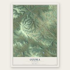
- Ozora 12" x 18" / Archival Matte Print $39.99
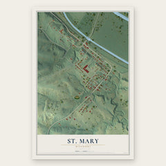
- St. Mary 12" x 18" / Archival Matte Print $39.99
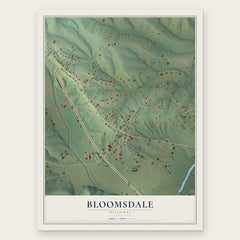
- Bloomsdale 12" x 18" / Archival Matte Print $39.99
More maps nearby: Weingarten, Grayhawk, Lithium, Brewer and Goose Creek Lake.
The art of mapping a place
How This Map Was Made
Real places. Remarkable detail. Discover the layers that turn geographic data into a map of home.

The view from above
Aerial imagery reveals the character of the land: woodland, open fields, and the patterns of a place.

The shape of the land
Elevation data brings hills, valleys, and subtle changes in the landscape into view.

The details of home
Roads, waterways, and building footprints come together to make the map feel unmistakably local.

Geography becomes art
Considered color, shading, and typography bring the layers together in a map made for your wall.


Process illustrated with Mendon, Massachusetts. Aerial imagery: USDA NAIP. Terrain: USGS 3D Elevation Program. Map details and finished artwork: KNOWOL.
The Details
About This Print
Choose an archival matte print, or a black or white Ayous wood frame. The archival matte print is unframed.
Select your size and finish above to see the matching product image and price.
Materials & Craftsmanship
A contemporary map with the character of a classic atlas, printed on archival matte paper. Optional frames are made from Ayous wood.
Your printed map does not include the watermark shown in the full-map preview.
Shipping & Delivery
Free shipping within the United States. Every print is made to order in the USA.
Buying a gift? Add a note in your cart and we'll include it. We never put prices in the package.
Prints ship within 2 to 3 business days. Allow 7 to 10 days total from ordering for delivery. Timing may vary during holidays or periods of high order volume.
Read our shipping policy.
Returns and damaged prints
Each print is made to order. Change-of-mind refunds are not available after production.
If your print arrives damaged, misprinted or incorrect, contact support@knowol.com within 30 days of receiving it. Include your order number, photos and a description of the issue.
Read our full refund and replacement policy. For questions about your order, email support@knowol.com.