
Search for another town
Free U.S. delivery 7 to 10 days after you order
Stephenville, Texas Map Art
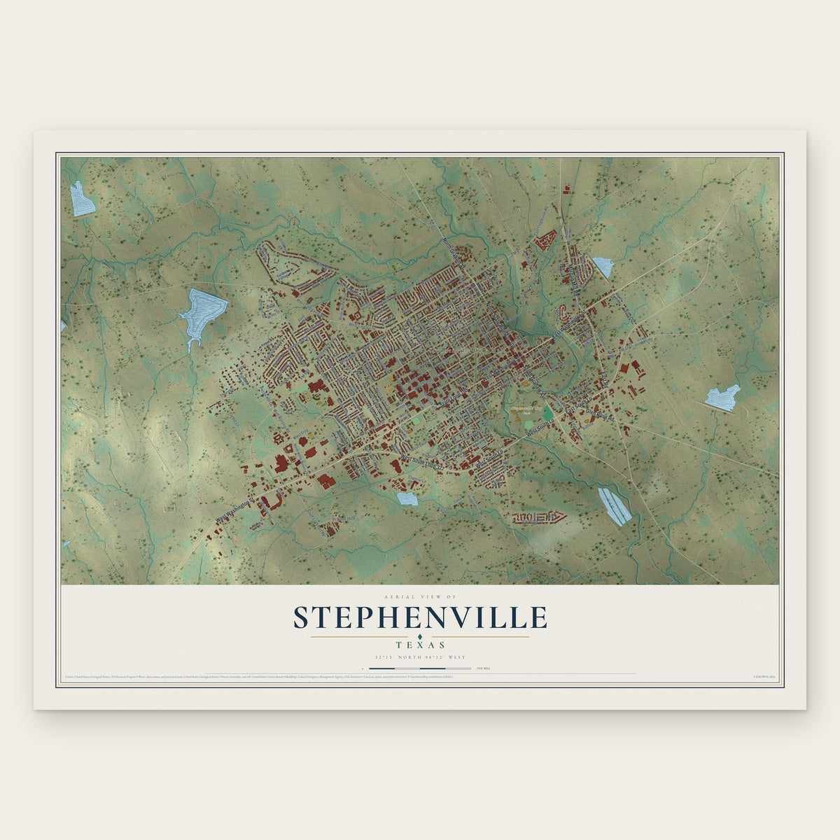
Building by building, with labeled streets and shaded relief.
12" x 18" Archival Matte Print
A Map of Home. A Work of Art.
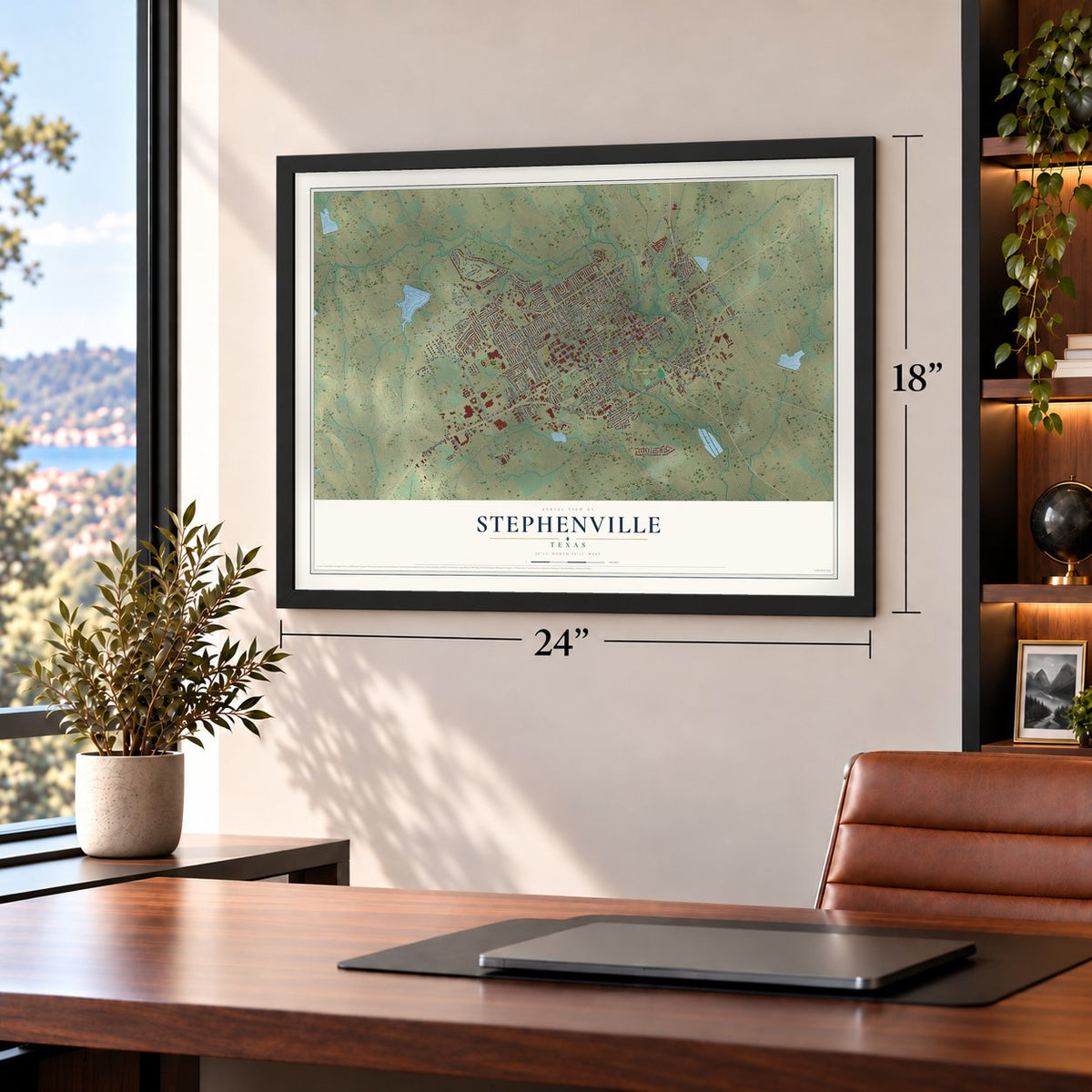
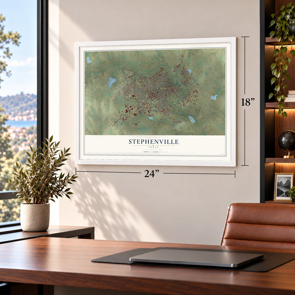
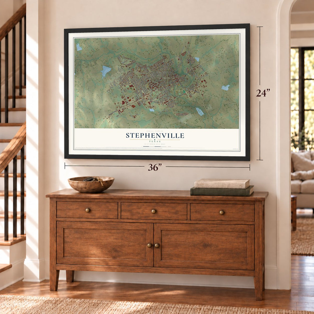
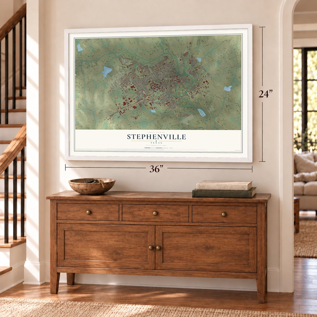
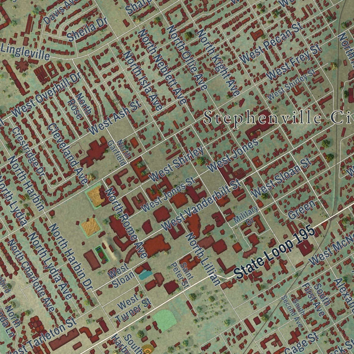
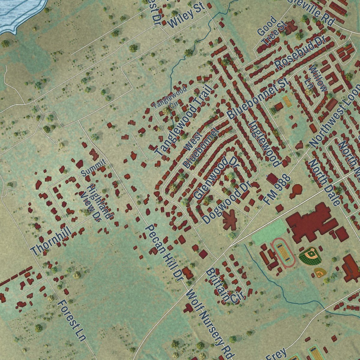
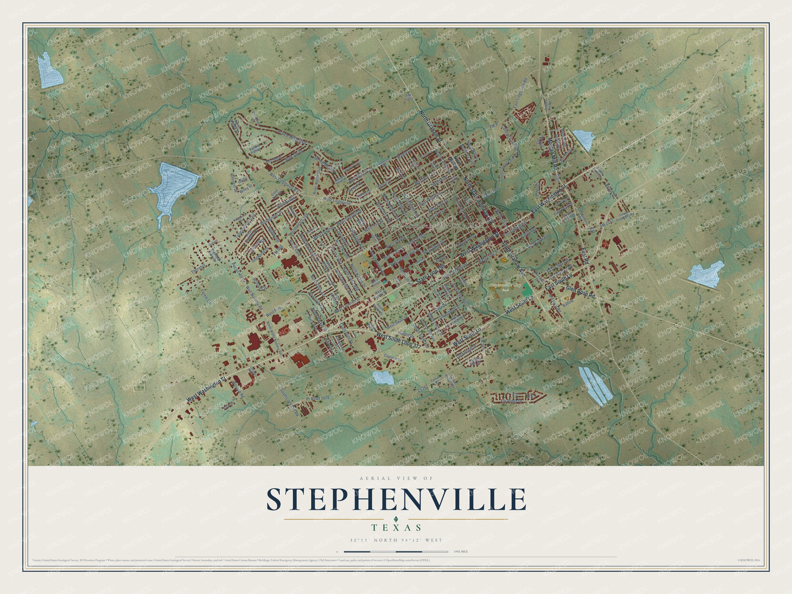
Explore Stephenville, Texas from a whole new perspective. Created using aerial imagery and detailed geographic data, this map captures Stephenville building by building, with labeled streets, familiar landmarks, and shaded topographical relief that highlights the natural contours of the landscape.
Combining modern data with the timeless character of a vintage atlas, this map is just as interesting up close as it is beautiful on the wall. Whether you grew up in Stephenville, spent memorable years there, or call it home today, this unique map is a great way to celebrate a place that means something to you. Zoom in on the preview to look for your street, and then order a print to put your memories on the wall.
Three ways to hang it
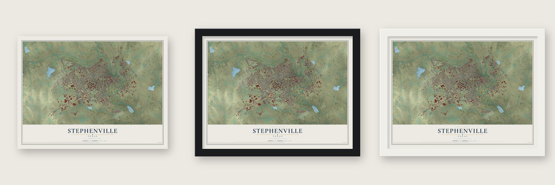
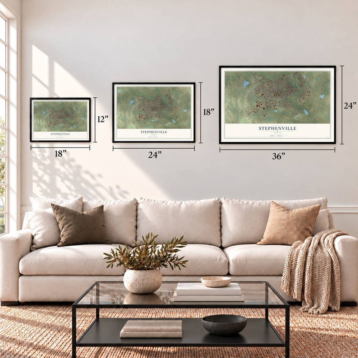
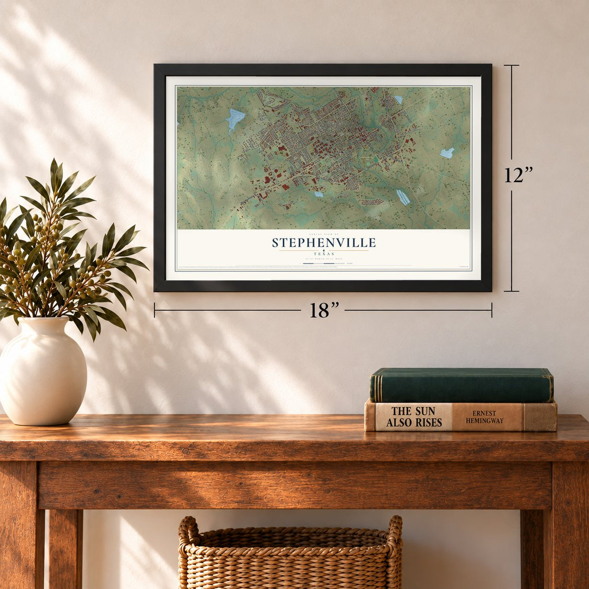
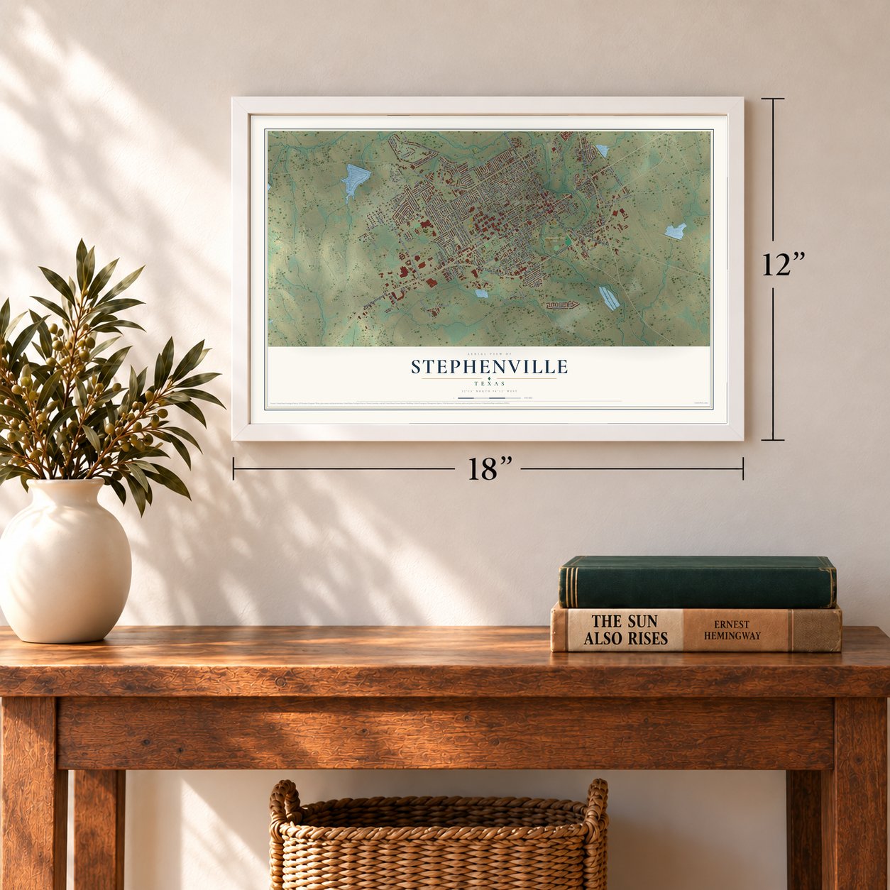
Unframed archival matte, a black wood frame or a white wood frame.
Up close
Geography Worth Displaying
This map was created using accurate cartographic data and authoritative geographic sources, including the U.S. Geological Survey and the Census Bureau. The map brings together terrain, waterways, roads, and building detail. The majority of the streets are labeled, houses are accurately depicted, and the topography is derived from government sources. Combining local data with carefully composed color and shading leads to this beautifully detailed Stephenville artwork for your wall.
Rather than simply showing street outlines, we’ve included as many of the street names as we could reasonably fit on the map while keeping their names legible. Zoom in on the high resolution preview to see exactly what’s on the map. We truly set out to create a statement piece for anyone who loves Stephenville. So whether it’s for you, or a gift for someone you love, we hope this map of Stephenville brings back fond memories.
Read the story behind this map of Stephenville, Texas from 2026.

Find your street
Names on the Stephenville map
Every name below is printed on this map. Look for your street, your school, the park where you played, or the pond down the road.
Places and landmarks2
- Stephenville City Hall
- Stephenville City Park
Streets and roads176
- West Washington Street
- East Washington Street
- State Loop 195
- West South Loop 377
- West South Lp
- North State Highway 108
- North Graham Street
- East South Lp
- Morgan Mill Road
- South Graham Avenue
- East Road
- Glen Rose Road
- West Frey
- West Overhill Drive
- West Overhill
- West Vanderbilt Street
- West Sloan Street
- North Rome Avenue
- Wolf Nursery Road
- Pecan Hill Drive
- FM 2157
- North Lydia
- North Isla Avenue
- West Shirley
- Prairie Wind Boulevard
- West Tarleton Street
- East Lingleville Road
- North Floral
- FM 8
- West Frey Street
Show all 176 streets
- West Long Street
- South Lillian Street
- North Ollie Avenue
- North Dale
- West Jones
- Cr 267
- North Barker Street
- West Lingleville Road
- FM 988
- Northwest Loop
- North Dale Avenue
- FM 914
- Alexander Road
- Bluebonnet Street
- North Harbin Drive
- West Park Street
- North Harbin
- North Lydia Avenue
- North Lillian
- West Elm
- West McNeill Street
- Groesbeck Street
- South Lockhart Road
- West Swan Street
- West Pecan Street
- Forest Lane
- College Farm Road
- River North Boulevard
- North Columbia
- North Neblett Avenue
- Moonlight Trail
- Elk Ridge Drive
- East Long
- Cage Street
- Maple Lane
- Pr Road 1428
- Tanglewood Trail
- West Green
- Blue Jay Drive
- Sundown
- North Race Avenue
- Caporal Lane
- North Mockingbird
- South Fifth Avenue
- West Lingleville
- South Sixth Avenue
- Rowland Avenue
- Byron Street
- Harbin Drive
- North Kight Avenue
- East Crow Street
- Glenwood Drive
- Hillcrest Drive
- Spring Meadow
- Sharp Drive
- Sun Dance
- Rosebud Drive
- Cleveland Avenue
- East Clifton Street
- Brittain Circle
- East College Street
- Old Hico Road
- Bosque Road
- West Ash Street
- Dogwood Drive
- Ballow
- Lockwood Drive
- South Dale Street
- Thornhill
- East Pearl Street
- Reta Avenue
- Wind Song
- Sheila Drive
- Inglewood
- North Ivy Avenue
- Fairway
- Clark Lane
- Sully Court
- North Bates
- Green
- Wiley Street
- Idella
- North Graham
- West Sloan
- North Rose
- North Wolfe Nursery Road
- FM 205
- Terran Road
- Mistletoe Drive
- North Charlotte Avenue
- West Jones Street
- Lower Granbury Road
- West Mimosa
- Highland View Drive
- Ben Hogan
- Sandra Palmer
- South College Farm Road
- West Bluebonnet
- Crestridge Drive
- South Byron Street
- South First Avenue
- West Hyman Street
- South Harbin Drive
- East Broadway Street
- Riverside Drive
- Davis Avenue
- Ol Granbury Road
- East Collins
- Good Tree Street
- Harpers Mill Road
- Kingland Street
- Byron Nelson Street
- Cactus Valley
- Golf Club Road
- Parish Road 1424
- North Linda Lane
- Willow Lane
- Cheyenne Drive
- Crenshaw Court
- West Turner Street
- East Lewis Drive
- Gravel Pit Road
- Dublin Avenue
- FM 2303
- Elk Cv
- North Garfield
- West Shirley Street
- North Race
- South Park Drive
- Midnight Shadow
- Bob White Road
- East Dodge Street
- Mockingbird Street
- Azalea
- Oaklawn Drive
- Military Drive
- Summit
- Saint Peter Street
- Christy Plaza
- Elk Run
- South Second Avenue
- Tanglewood Circle
- West Walnut Street
- Wedgewood
- Sun Dog
- West Davis
Names are listed as they appear on the printed map. Zoom into the product photos to find them.
About Stephenville, Texas
Stephenville is a city of 20,897 people and the county seat of Erath County, on the North Bosque River. John M. Stephen settled here in 1854, and when Erath County was organized in 1856 he gave the land for a townsite, which George B. Erath laid out. Stephen added fifty acres of timber to help the young town grow, and in 1857 he became its first postmaster.
By 1858 the town had 766 people, but Comanche raids were frequent. The raids, the Civil War and the hard years after it drove so many away that only 300 remained by 1871. Farming and livestock then brought steady growth, and after 1886 coal mining became a major industry that lasted thirty years. The Fort Worth and Rio Grande Railway reached town in 1889, the same year Stephenville was permanently incorporated.
- Tarleton since the 1890sJohn Tarleton Agricultural College opened in the 1890s, the same decade that gave the town square most of its stone buildings. The school grew into Tarleton State University, and by 1983, when 11,881 people lived in Stephenville, it was the town's largest employer.
- The county's first newspaperThe Texas Pacific, the first newspaper in Erath County, started here in 1870 and later took the name Empire. The Tribune began in the 1890s, and the two papers eventually merged to form the Empire-Tribune, which still publishes today.
- From oil hopes to industryAn oil boom from 1918 to 1920 stirred dreams of fortunes, but the best fields were outside the county and those dreams soon faded. Real growth came after 1953, when an industrial foundation formed. Within ten years the town was home to hatcheries, a creamery, feed mills, nurseries, a garment factory and meat-packing plants, and by the early 1970s it had more than 200 businesses.
- The Stephenville lightsIn January 2008, dozens of residents reported patterns of lights in the night sky, and some described one huge UFO. The Air Force Reserve explained that F-16 jets of the 457th Fighter Squadron had been flying training maneuvers in military airspace and dropping flares meant to confuse heat-seeking missiles.
- Alien Capital of the WorldAfter the sightings, calls poured in from around the world. Lee Roy Gaitan, the local constable, sat for more than 100 interviews, shirts calling the town the "Alien Capital of the World" went on sale, and the high school received $7,000 for college scholarships.
Keep exploring Texas
Stephenville is one of 2,049 Texas towns we've mapped. Every dot on the map is a print of its own.
The search covers every state, Texas first.
Near Stephenville
Order 2 or more town maps and save 10%. Shown in the size and finish you picked above, so they hang as a set.
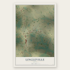
- Lingleville 12" x 18" / Archival Matte Print $39.99
- Huckabay 12" x 18" / Archival Matte Print $39.99
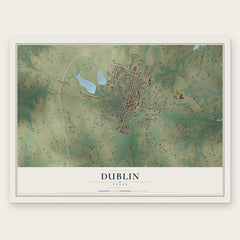
- Dublin 12" x 18" / Archival Matte Print $39.99

More maps nearby: Three Way, Bluff Dale, Morgan Mill, Hico and De Leon.
The art of mapping a place
How This Map Was Made
Real places. Remarkable detail. Discover the layers that turn geographic data into a map of home.

The view from above
Aerial imagery reveals the character of the land: woodland, open fields, and the patterns of a place.

The shape of the land
Elevation data brings hills, valleys, and subtle changes in the landscape into view.

The details of home
Roads, waterways, and building footprints come together to make the map feel unmistakably local.

Geography becomes art
Considered color, shading, and typography bring the layers together in a map made for your wall.


Process illustrated with Mendon, Massachusetts. Aerial imagery: USDA NAIP. Terrain: USGS 3D Elevation Program. Map details and finished artwork: KNOWOL.
The Details
About This Print
Choose an archival matte print, or a black or white Ayous wood frame. The archival matte print is unframed.
Select your size and finish above to see the matching product image and price.
Materials & Craftsmanship
A contemporary map with the character of a classic atlas, printed on archival matte paper. Optional frames are made from Ayous wood.
Your printed map does not include the watermark shown in the full-map preview.
Shipping & Delivery
Free shipping within the United States. Every print is made to order in the USA.
Buying a gift? Add a note in your cart and we'll include it. We never put prices in the package.
Prints ship within 2 to 3 business days. Allow 7 to 10 days total from ordering for delivery. Timing may vary during holidays or periods of high order volume.
Read our shipping policy.
Returns and damaged prints
Each print is made to order. Change-of-mind refunds are not available after production.
If your print arrives damaged, misprinted or incorrect, contact support@knowol.com within 30 days of receiving it. Include your order number, photos and a description of the issue.
Read our full refund and replacement policy. For questions about your order, email support@knowol.com.