
Search for another town


Free U.S. delivery 7 to 10 days after you order
Stowe, Vermont Map Art
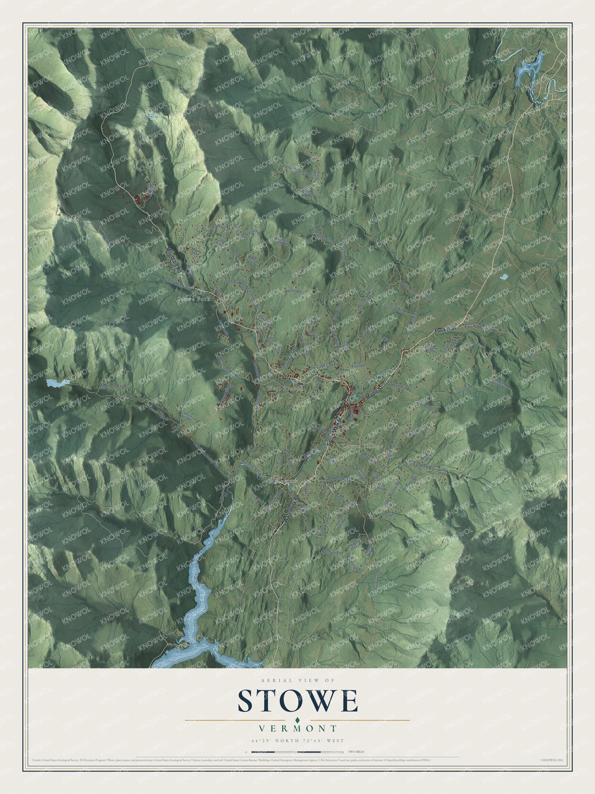
Building by building, with labeled streets and shaded relief.
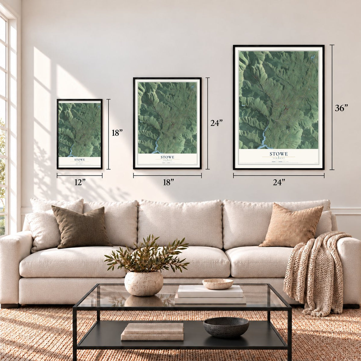
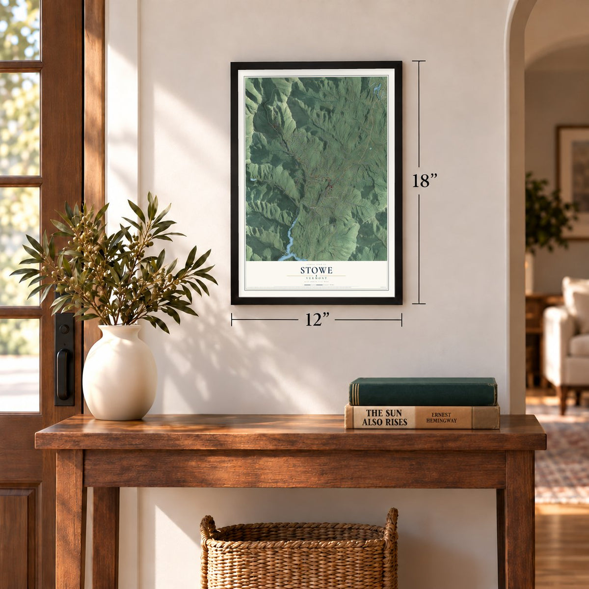
12" x 18" Archival Matte Print
A Map of Home. A Work of Art.
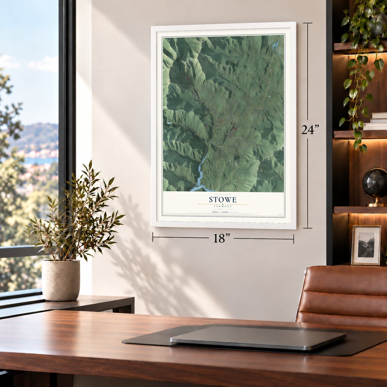
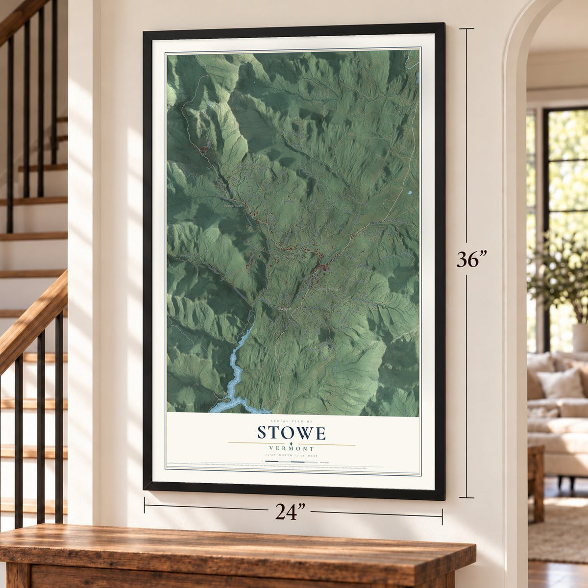
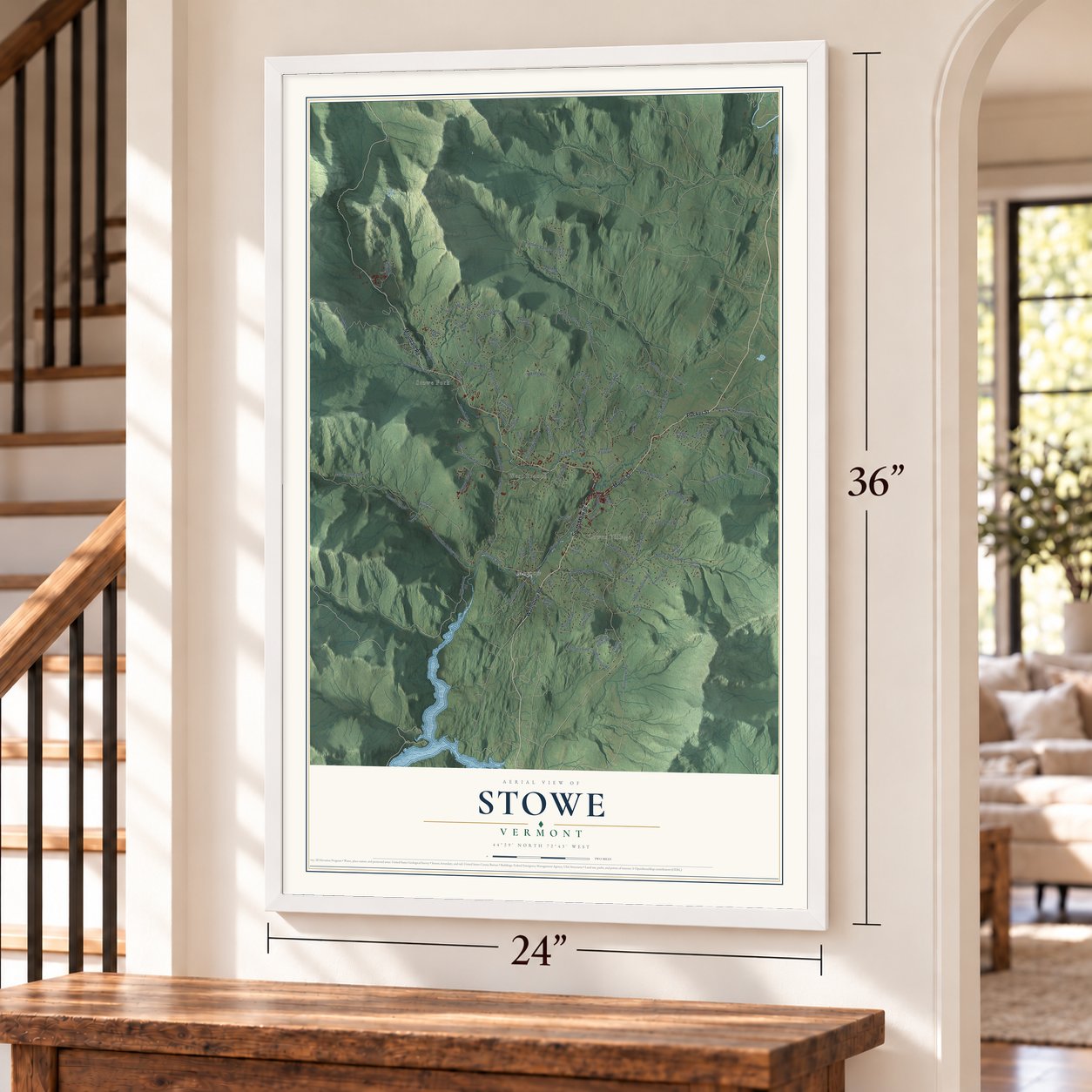
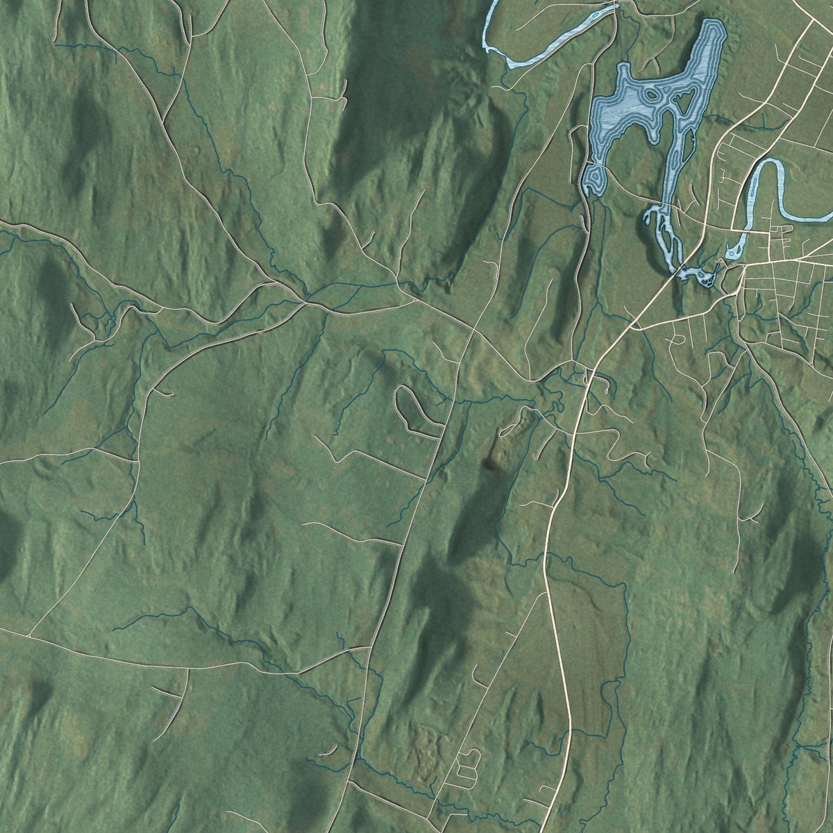
Explore Stowe, Vermont from a whole new perspective. Created using aerial imagery and detailed geographic data, this map captures Stowe building by building, with labeled streets, familiar landmarks, and shaded topographical relief that highlights the natural contours of the landscape.
Combining modern data with the timeless character of a vintage atlas, this map is just as interesting up close as it is beautiful on the wall. Whether you grew up in Stowe, spent memorable years there, or call it home today, this unique map is a great way to celebrate a place that means something to you. Zoom in on the preview to look for your street, and then order a print to put your memories on the wall.
Three ways to hang it
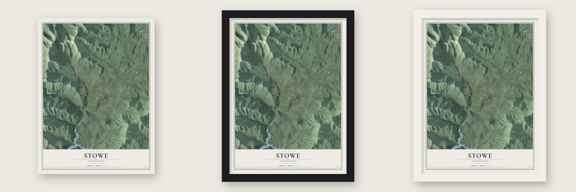
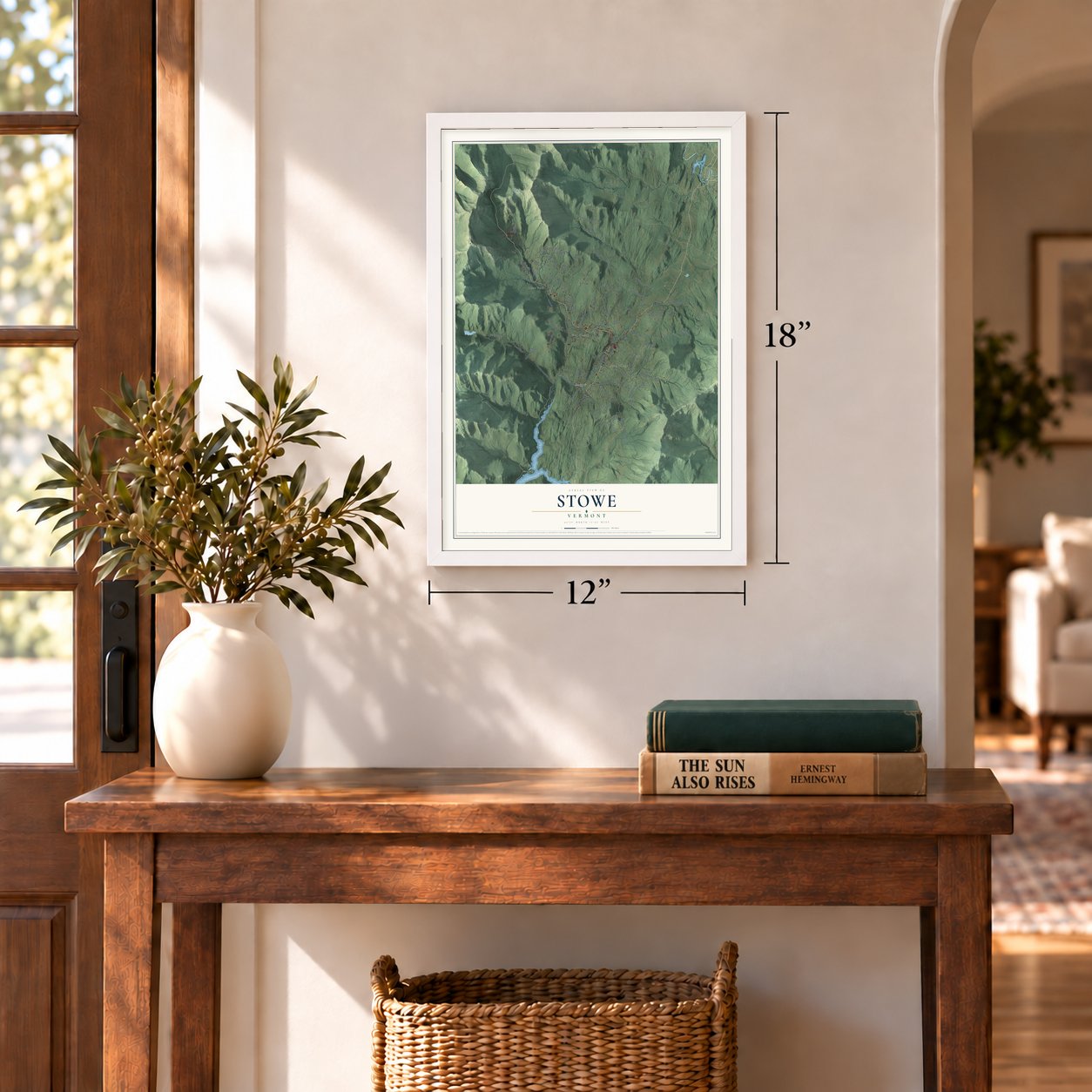
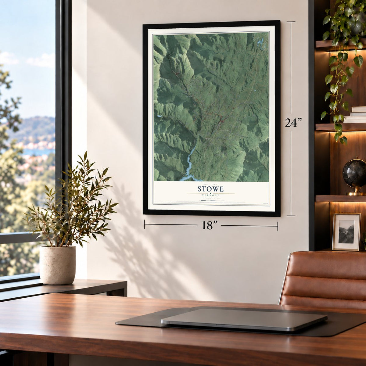
Unframed archival matte, a black wood frame or a white wood frame.
Up close
Geography Worth Displaying
This map was created using accurate cartographic data and authoritative geographic sources, including the U.S. Geological Survey (USGS) and FEMA. The map brings together terrain, waterways, roads, and building detail. The majority of the streets are labeled, houses are accurately depicted, and the topography is derived from government sources. Combining local data with carefully composed color and shading leads to this beautifully detailed Stowe artwork for your wall.
Rather than simply showing street outlines, we’ve included as many of the street names as we could reasonably fit on the map while keeping their names legible. Zoom in on the high resolution preview to see exactly what’s on the map. We truly set out to create a statement piece for anyone who loves Stowe. So whether it’s for you, or a gift for someone you love, we hope this map of Stowe brings back fond memories.
Explore the full map of Stowe, Vermont and read about the local places it shows.
Find your street
Names on the Stowe map
Every name below is printed on this map. Look for your street, your school, the park where you played, or the pond down the road.
Places and landmarks4
- Moscow
- Stowe Fork
- Lower Village
- West Branch
Streets and roads111
- Waterbury Road
- South Main Street
- Maple Street
- Pucker Street
- Mountain Road
- Stowe Hollow Road
- Moscow Road
- Taber Hill Road
- Toll Road
- Nebraska Valley Road
- Weeks Hill Road
- West Hill Road
- Trapp Hill Road
- Luce Hill Road
- Barrows Road
- Edson Hill Road
- River Road
- Upper Hollow Road
- Wade Pasture Road
- Stagecoach Road
- Brook Road
- North Hollow Road
- Sinclair Drive
- Gold Brook Road
- Sterling Valley Road
- Taber Ridge Road
- Cape Cod Road
- Maple Run Lane
- Cottage Club Road
- Shaw Hill Road
Show all 111 streets
- Dewey Hill Road
- Barnes Hill Road
- Cross Road
- Brush Hill Road
- Old Country Road
- Tansy Hill Road
- Tamarack Road
- Ranch Brook Road
- Hollows End
- Moulton Lane
- Baird Road
- Percy Hill Road
- Beech Hill Road
- Bouchard Road
- Depot Street
- Sanborn Road
- Welles Road
- Pond Drive
- Cottonbrook Road
- Points North
- Robinson Springs Road
- Notchbrook Road
- Hidden Valley Road
- Brownsville Road
- North Hill Road
- Spruce Peak Road
- Ayers Farm Road
- Elmore Mountain Road
- McCall Pasture Road
- Houston Farm Road
- Alpine View Road
- Pinnacle Road
- Covered Bridge Road
- Carey Farm Road
- White Gates Lane
- Glenbrook Road
- Waterworks Road
- South Hollow Road
- Cady Hill Road
- Birch Hill Road
- Randolph Road
- Spring Road
- Sterling Ridge Road
- Bryan Road
- Sugar Bush Lane
- Mayo Farm Road
- Lang Farm Road
- Sweetser Lane
- Merrill Hill Road
- Farr Hill Road
- School Street
- Kidder Lane
- Maple Road
- Haul Road
- Mill Lane
- Holt Lane
- Billings Hill Road
- Owls Head Lane
- Sky Acres Drive
- Mansfield View Road
- Sugar House Road
- Partridge Hill Road
- Clark Road
- Dish Lane
- Little River Farm Road
- Putnam Forest Road
- Country Club Loop
- Cemetery Street
- Grey Birch Road
- Weeks Hill Meadows
- High Pond Road
- Thomas Lane
- West Shaw Hill Road
- Sterling Woods Road
- Logging Hill Road
- Chandler Farm Road
- Falls Brook Lane
- Hoadley Brook Lane
- Sallies Lane
- Alger Road
- Summit Run
Names are listed as they appear on the printed map. Zoom into the product photos to find them.
About Stowe, Vermont
Stowe is a town of 5,223 people in Lamoille County. It sits in a wide valley, with Mount Mansfield, Vermont's highest peak at 4,393 feet, rising to the west and the Worcester Range lying to the east. Royal Governor Benning Wentworth of New Hampshire granted its charter on June 8, 1763, but most settlers came only in 1793, two years after statehood. The town organized on March 13, 1797, and by about 1800 it had 316 people, who cleared the hills for lumber and pasture. As many as 8,000 sheep grazed here, and later the town had more than 100 dairy farms.
The scenery drew summer visitors, and by the middle of the 1800s Stowe was a known resort. W. H. H. Bingham, a lawyer in town, opened the big Mount Mansfield Hotel in 1864, then built the Summit Hotel and roads up the mountain and to Smugglers Notch. The hotel burned in 1889. From 1897 to 1932 the Mt. Mansfield Electric Railway carried passengers and freight the 11 miles between Waterbury and Stowe, and its depot stands beside the Green Mountain Inn.
- Ski trails from the CCCStowe's first Winter Carnival, in 1921, had ski jumping and skating. In the Great Depression, Civilian Conservation Corps camps on Mount Mansfield cut ski trails: the Bruce Trail in 1933, the Nose Dive in 1934. Early skiers hiked 2.5 miles to the summit before Vermont's first chairlift, a single chair, opened in 1940; it ran until 1986. The Stowe CCC Side Camp, built in 1935 for 50 men, later became a state ski lodge.
- Emily's BridgeJohn W. Smith built the Gold Brook Covered Bridge over Gold Brook in Stowe Hollow around 1844. Also called Emily's Bridge, it is the last covered bridge in Stowe and the only wooden Howe truss bridge still on a public road in Vermont. In 1969 the voters directed the selectmen to keep it up forever.
- A saw blade for a bellThe village of Moscow, on the Little River in the south of town, started as Smith's Falls, after a dam William Smith built in 1822. Neighbors hung a used circular saw blade in the old schoolhouse and struck it to call meetings. This "bell of Moscow" gave the village its new name, and in 1886 the name was made official when Moscow got its own post office. Woodworking kept Moscow busy into the early 1900s.
- The von Trapps' ski lodgeMaria and Georg von Trapp came to Vermont in 1942. Their family's life was the loose basis for The Sound of Music. In 1950 they enlarged their Stowe home and opened it to guests as a ski lodge with 27 rooms.
- Olympic silver in 1964Billy Kidd grew up in Stowe and raced with the Mount Mansfield Ski Team. At the 1964 Winter Olympics he won silver in the slalom, and he and teammate Jimmie Heuga became the first American men to take Olympic medals in alpine skiing.
Keep exploring Vermont
Stowe is one of 333 Vermont towns we've mapped. Every dot on the map is a print of its own.
The search covers every state, Vermont first.
Near Stowe
Order 2 or more town maps and save 10%. Shown in the size and finish you picked above, so they hang as a set.
- Morristown 12" x 18" / Archival Matte Print $39.99
- Morrisville 12" x 18" / Archival Matte Print $39.99
- Waterbury 12" x 18" / Archival Matte Print $39.99

More maps nearby: Waterbury Center, Worcester, Bolton Valley, Underhill and Underhill Center.
The art of mapping a place
How This Map Was Made
Real places. Remarkable detail. Discover the layers that turn geographic data into a map of home.

The view from above
Aerial imagery reveals the character of the land: woodland, open fields, and the patterns of a place.

The shape of the land
Elevation data brings hills, valleys, and subtle changes in the landscape into view.

The details of home
Roads, waterways, and building footprints come together to make the map feel unmistakably local.

Geography becomes art
Considered color, shading, and typography bring the layers together in a map made for your wall.


Process illustrated with Mendon, Massachusetts. Aerial imagery: USDA NAIP. Terrain: USGS 3D Elevation Program. Map details and finished artwork: KNOWOL.
The Details
About This Print
Choose an archival matte print, or a black or white Ayous wood frame. The archival matte print is unframed.
Select your size and finish above to see the matching product image and price.
Materials & Craftsmanship
A contemporary map with the character of a classic atlas, printed on archival matte paper. Optional frames are made from Ayous wood.
Your printed map does not include the watermark shown in the full-map preview.
Shipping & Delivery
Free shipping within the United States. Every print is made to order in the USA.
Buying a gift? Add a note in your cart and we'll include it. We never put prices in the package.
Prints ship within 2 to 3 business days. Allow 7 to 10 days total from ordering for delivery. Timing may vary during holidays or periods of high order volume.
Read our shipping policy.
Returns and damaged prints
Each print is made to order. Change-of-mind refunds are not available after production.
If your print arrives damaged, misprinted or incorrect, contact support@knowol.com within 30 days of receiving it. Include your order number, photos and a description of the issue.
Read our full refund and replacement policy. For questions about your order, email support@knowol.com.