
Search for another town




Free U.S. delivery 7 to 10 days after you order
Sulphur Springs, Texas Map Art
Building by building, with labeled streets and shaded relief.
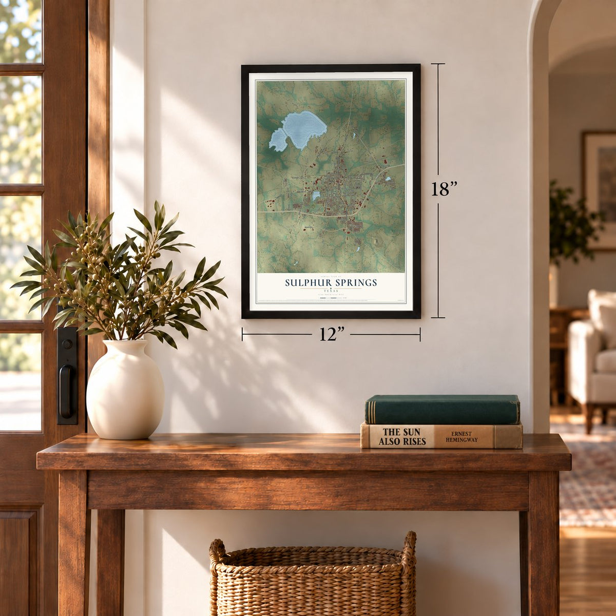
12" x 18" Archival Matte Print
A Map of Home. A Work of Art.
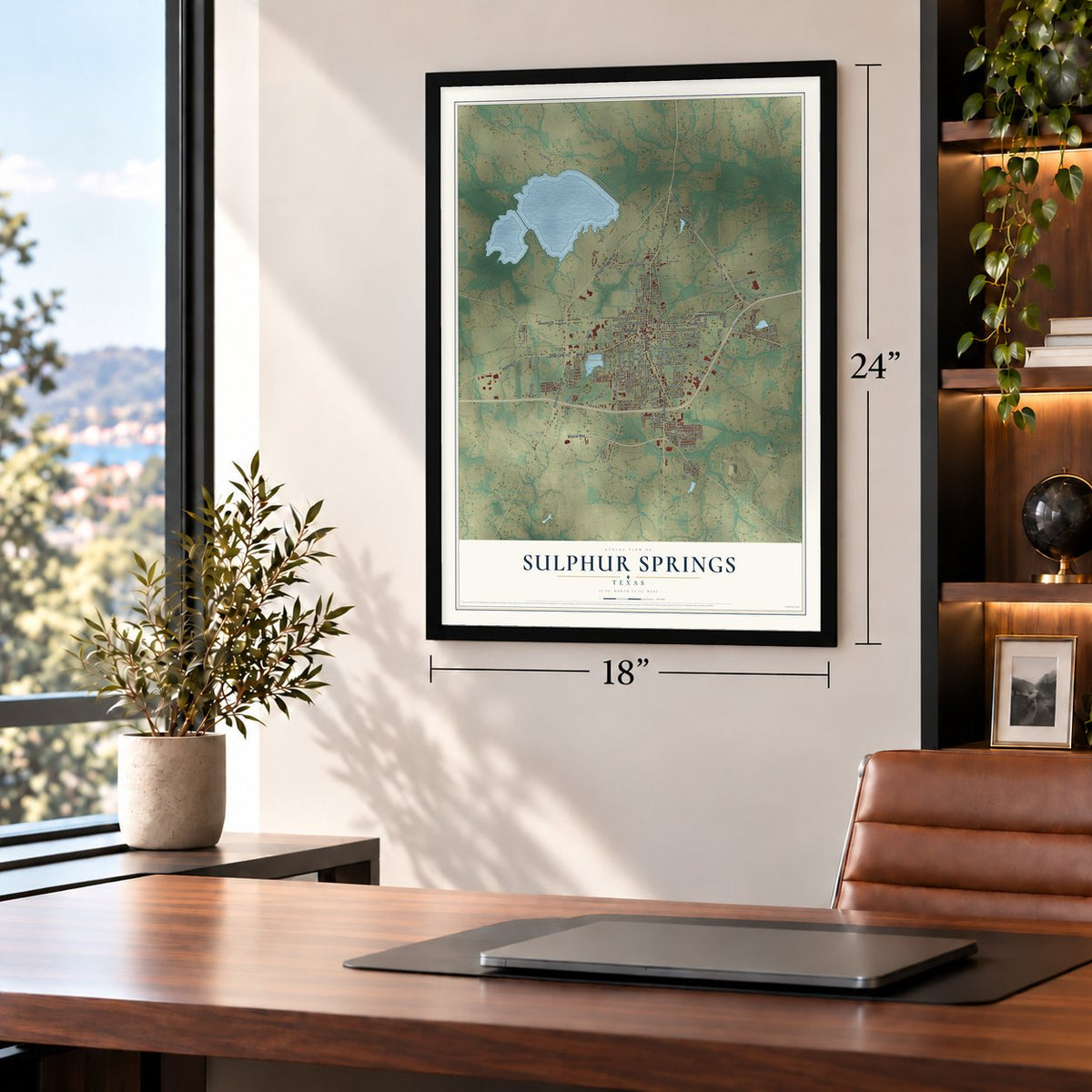
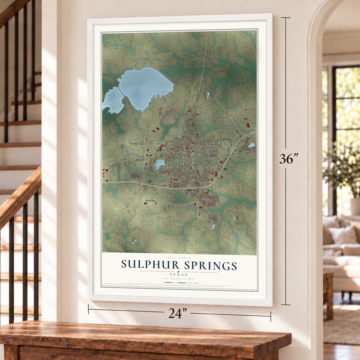
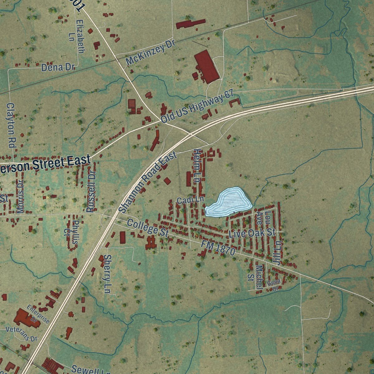
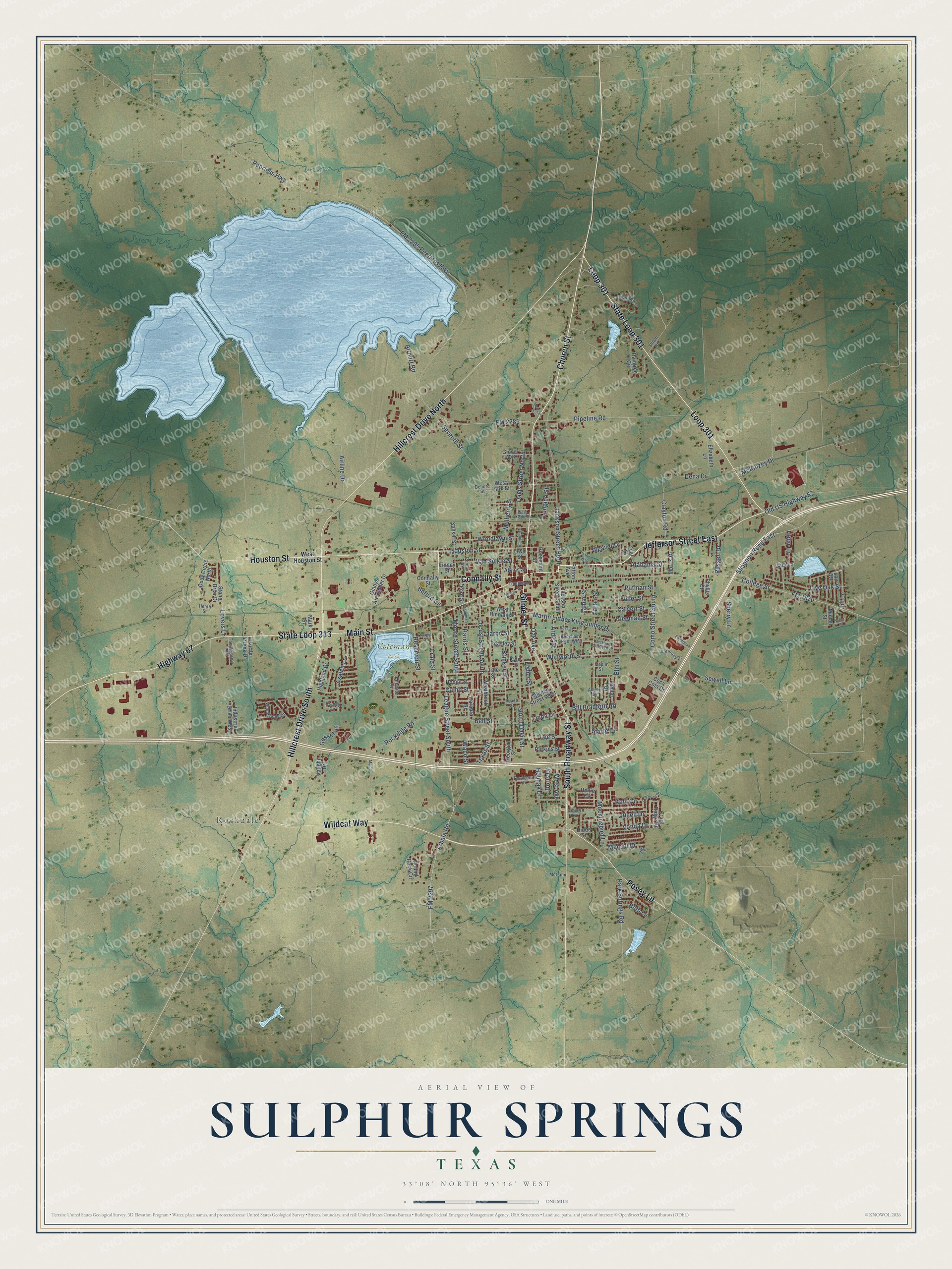
Explore Sulphur Springs, Texas from a whole new perspective. Created using aerial imagery and detailed geographic data, this map captures Sulphur Springs building by building, with labeled streets, familiar landmarks, and shaded topographical relief that highlights the natural contours of the landscape.
Combining modern data with the timeless character of a vintage atlas, this map is just as interesting up close as it is beautiful on the wall. Whether you grew up in Sulphur Springs, spent memorable years there, or call it home today, this unique map is a great way to celebrate a place that means something to you. Zoom in on the preview to look for your street, and then order a print to put your memories on the wall.
Three ways to hang it
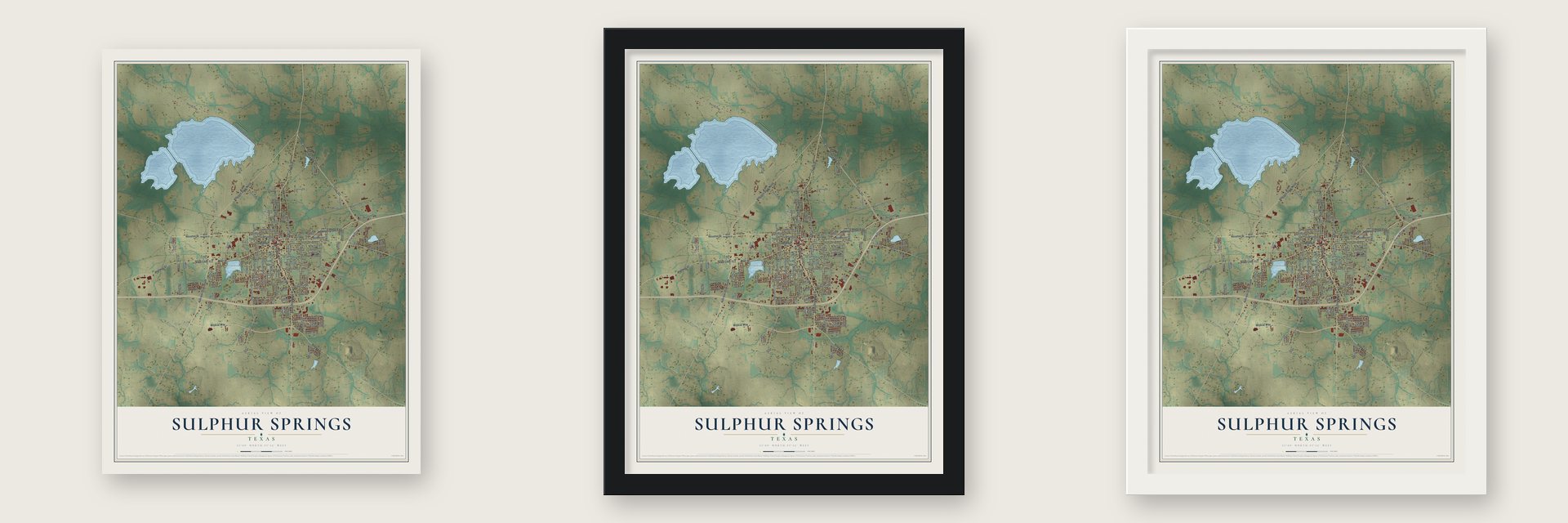
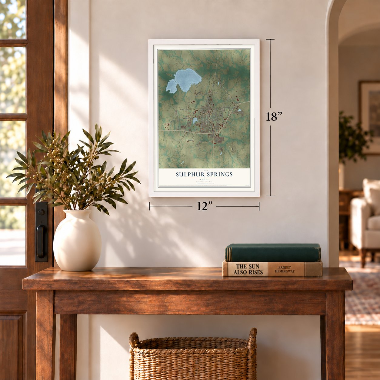
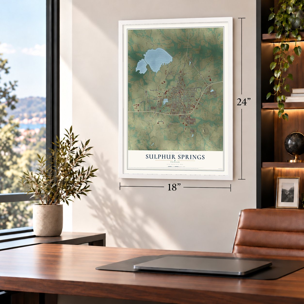
Unframed archival matte, a black wood frame or a white wood frame.
Up close
Geography Worth Displaying
This map was created using accurate cartographic data and authoritative geographic sources, including the U.S. Geological Survey and the Census Bureau. The map brings together terrain, waterways, roads, and building detail. The majority of the streets are labeled, houses are accurately depicted, and the topography is derived from government sources. Combining local data with carefully composed color and shading leads to this beautifully detailed Sulphur Springs artwork for your wall.
Rather than simply showing street outlines, we’ve included as many of the street names as we could reasonably fit on the map while keeping their names legible. Zoom in on the high resolution preview to see exactly what’s on the map. We truly set out to create a statement piece for anyone who loves Sulphur Springs. So whether it’s for you, or a gift for someone you love, we hope this map of Sulphur Springs brings back fond memories.
Read the story behind this map of Sulphur Springs, Texas from 2026.

Find your street
Names on the Sulphur Springs map
Every name below is printed on this map. Look for your street, your school, the park where you played, or the pond down the road.
Places and landmarks2
- Rockdale
- Coleman Park
Streets and roads165
- State Loop 301
- Jefferson Street East
- Connally Street
- Gilmer Street
- State Loop 313
- Loop 301
- Church Street
- Hillcrest Drive North
- Main Street
- South Broadway Street
- Houston Street
- Hillcrest Drive South
- Highway 67
- Posey Lane
- Wildcat Way
- League Street South
- Shannon Road East
- Arbala Road
- College Street
- Holiday Drive
- Martin Luther King Junior Drive
- Azalea Lane
- Peerless Highway
- Kelli Circle
- FM 2285 Peerless Highway
- Texas Street
- Davis Street North
- Rockdale Road
- Airport Road
- FM 2285
Show all 165 streets
- South Davis Street
- FM 2297
- Carter Street
- Jackson Street North
- Pipeline Road
- Seventh Street
- Como Street South
- Mockingbird Lane
- FM 1870
- Putman Street
- Fuller Street
- Lee Street
- Whitworth Street
- Moore Street South
- Mulberry Street
- Fisher Street
- Brinker Street
- Weaver Drive
- Camp Street
- Locust Street South
- Old US Highway 67
- Bill Bradford Road
- Live Oak Street
- Lamar Street
- Lovers Lane
- Reservoir Street
- Craig Street
- Elm Street
- Oak Avenue
- Sherry Lane
- Calvert Street
- Buford Circle
- Helm Lane
- Woodlawn Street
- Ardis Street
- Airline Drive
- Clayton Road
- Vonda Drive
- Sewell Lane
- Freeman Street
- Van Sickle Street
- Junell Drive
- Alabama Street
- Park Springs Road
- Dena Drive
- Bell Street
- Jill Lane
- McKinzey Drive
- Merrell Drive
- Russell Drive
- Jarbo Street
- Longino Street
- Linda Drive
- West Avenue
- Doris Drive
- Gosset Lane
- Beth Lane
- Sprite Drive
- Harris Street
- Waco Street
- Craig Ridge Road
- Hodge Street
- Gladys Alexander Drive
- Raintree Circle
- Tate Street
- Georgia Street
- Hollie Circle
- Sunset Street
- Lemon Drive
- Barbara Street
- Atkins Street
- Round Rock Circle
- West Park Street
- Elizabeth Lane
- Lincoln Drive
- Jackson Street South
- Spence Street West
- West Hinnant Street
- Morris Drive
- Kyle Street
- Westbrook Circle
- Cody Circle North
- Lou Avenue
- Industrial Drive West
- Parkins Street
- Highland Drive
- Stone Briar Drive
- Glover Avenue
- Beasley Street
- Coca Cola Drive
- Fore Street
- Turtle Creek Drive
- Rosemont Street
- Vaughn Drive
- Patton Avenue
- Phyllis Court
- Michel Street
- Mark Street
- Cadi Lane
- Hines Drive
- Finney Street
- Teer Street
- Levy Street
- West Houston Street
- McCann
- Woodbridge Drive
- Jennifer Lane
- Beckham Street West
- Drexel Drive
- Veterans Drive
- Shiloh Road
- Brandy Circle
- Peach Street
- Ponder Street
- Tanglewood Terrace
- Davidson Street
- Tomlinson Street
- Debord Street
- Alamo Street
- Heath Street
- Maple Street
- Ross Street
- Oakwood Drive
- West Middle Street
- Beckham Street East
- Goodman Street
- Gena Drive
- Jacobs Street
- Spring Street
- Enterprise Drive
- Medical Drive
- Bergin Street
- Majors
- Shook Street
- Gail Drive
Names are listed as they appear on the printed map. Zoom into the product photos to find them.
About Sulphur Springs, Texas
Sulphur Springs is a city of 15,941 people and the county seat of Hopkins County, in Northeast Texas. It began as Bright Star, a favorite campground for teamsters hauling goods west from Jefferson, and stores and a hotel soon went up around the spot. Bright Star got its own post office in 1854 and may have been incorporated as early as 1852.
In 1870 the town received a new charter and became the county seat, and Dr. O. S. Davis gave the county the public square. A year later, in 1871, the town took the name Sulphur Springs, because its mineral springs were being promoted to turn it into a health resort. A railroad line from Mineola arrived in 1872, and newcomers came for the sulfur baths. As the town grew, the springs were covered over one by one, and none still flows. By 1885 about 2,500 people lived there.
“Eli Bib, one of the first European-American settlers, ran a store from his cabin, selling staples, whiskey, persimmon beer, and slabs of ginger cake.”
- A Gordon courthouseAfter Tarrant lost the county seat, Hopkins County built a courthouse on the east side of the square in 1882. That building burned in 1894. James Riely Gordon designed its replacement in granite and limestone, in the Romanesque Revival style, and it went up in 1895. The Hopkins County Courthouse is still in use, and it joined the National Register in 1977.
- Reconstruction yearsThe town lost its charter during the Civil War, and the state legislature had to incorporate it again. In 1868 federal troops arrived to protect freedmen after emancipation and held the city for two years. When the occupation ended and the soldiers left, voters elected A. J. Bridges mayor.
- A town of newspapersIn 1854 William A. Wortham bought the Texas Star press and brought it to town, where he and his brother-in-law, Bill Davis, started its first newspaper. Wortham is also its first known mayor. In 1884 the Populist congressman James Harvey "Cyclone" Davis founded the Alliance Vindicator, which ran until 1901. Over the years the town's papers merged until only two remained, the Hopkins County Echo and the Sulphur Springs News-Telegram, and both still go to press.
- Dairy countryFrom the late 1940s through 1995, dairy farming was a major part of the local economy. Falling milk prices, higher labor costs and huge corporate dairies eventually shrank the industry. The Southwest Dairy Museum in town now keeps its history, from the farm to the milk bottle.
Keep exploring Texas
Sulphur Springs is one of 2,049 Texas towns we've mapped. Every dot on the map is a print of its own.
The search covers every state, Texas first.
Near Sulphur Springs
Order 2 or more town maps and save 10%. Shown in the size and finish you picked above, so they hang as a set.
- North Hopkins 12" x 18" / Archival Matte Print $39.99
- Como 12" x 18" / Archival Matte Print $39.99
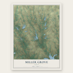
- Miller Grove 12" x 18" / Archival Matte Print $39.99


More maps nearby: Cumby, Tira, Yantis, Saltillo and Pickton.
The art of mapping a place
How This Map Was Made
Real places. Remarkable detail. Discover the layers that turn geographic data into a map of home.

The view from above
Aerial imagery reveals the character of the land: woodland, open fields, and the patterns of a place.

The shape of the land
Elevation data brings hills, valleys, and subtle changes in the landscape into view.

The details of home
Roads, waterways, and building footprints come together to make the map feel unmistakably local.

Geography becomes art
Considered color, shading, and typography bring the layers together in a map made for your wall.


Process illustrated with Mendon, Massachusetts. Aerial imagery: USDA NAIP. Terrain: USGS 3D Elevation Program. Map details and finished artwork: KNOWOL.
The Details
About This Print
Choose an archival matte print, or a black or white Ayous wood frame. The archival matte print is unframed.
Select your size and finish above to see the matching product image and price.
Materials & Craftsmanship
A contemporary map with the character of a classic atlas, printed on archival matte paper. Optional frames are made from Ayous wood.
Your printed map does not include the watermark shown in the full-map preview.
Shipping & Delivery
Free shipping within the United States. Every print is made to order in the USA.
Buying a gift? Add a note in your cart and we'll include it. We never put prices in the package.
Prints ship within 2 to 3 business days. Allow 7 to 10 days total from ordering for delivery. Timing may vary during holidays or periods of high order volume.
Read our shipping policy.
Returns and damaged prints
Each print is made to order. Change-of-mind refunds are not available after production.
If your print arrives damaged, misprinted or incorrect, contact support@knowol.com within 30 days of receiving it. Include your order number, photos and a description of the issue.
Read our full refund and replacement policy. For questions about your order, email support@knowol.com.