
Search for another town


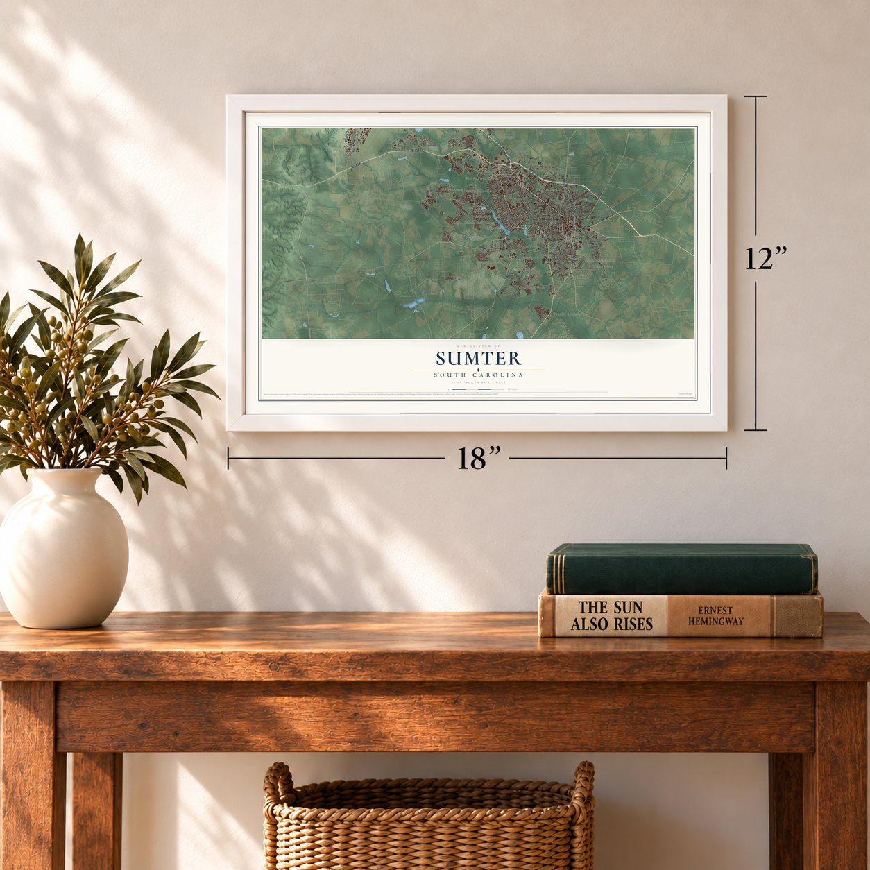

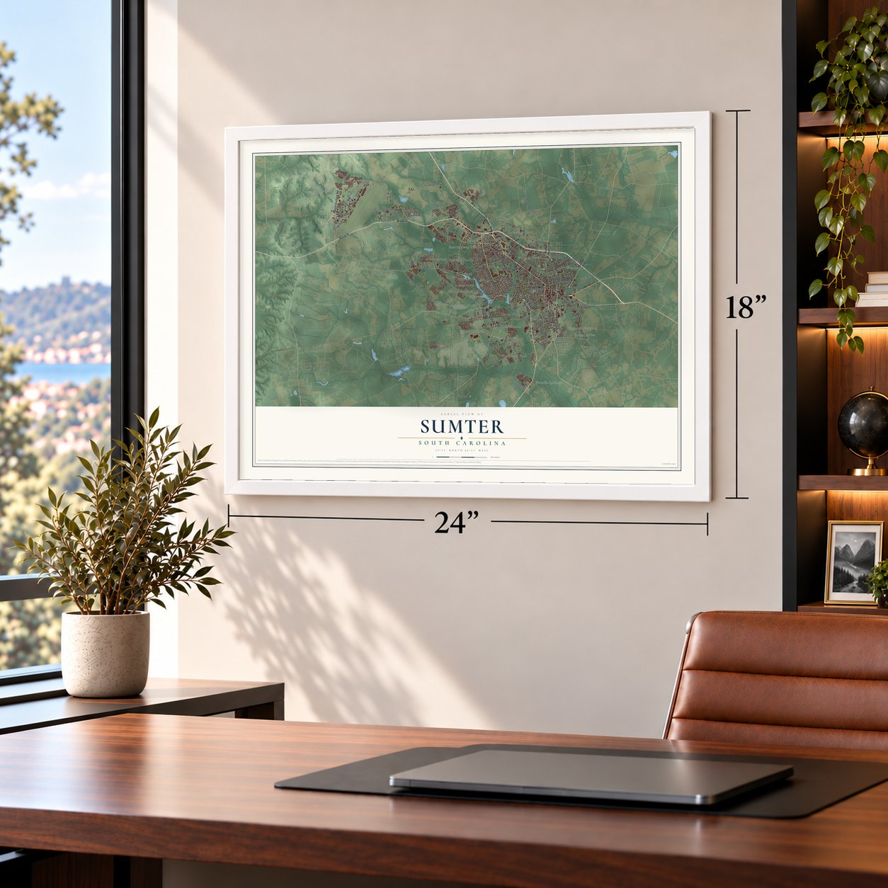

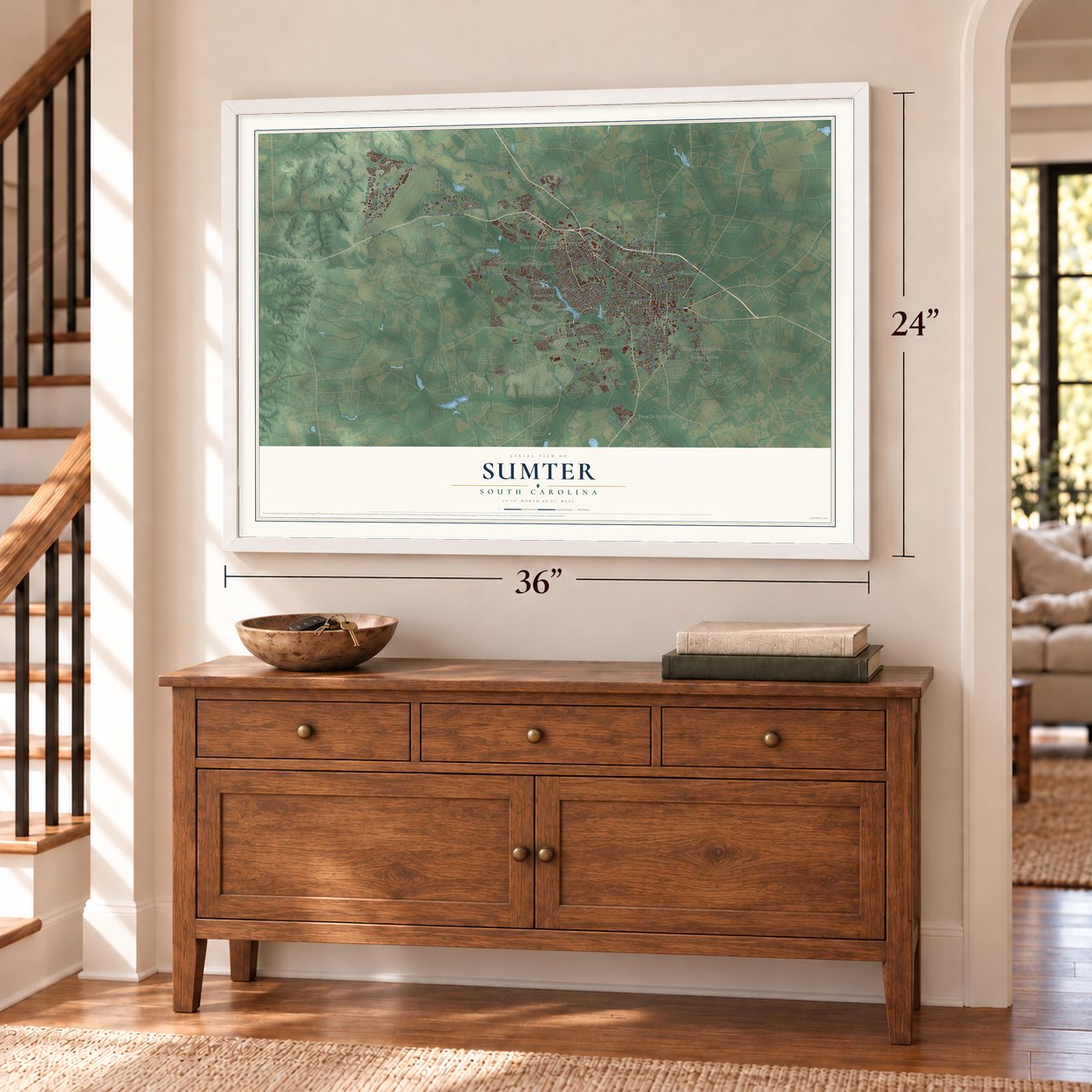

Free U.S. delivery 7 to 10 days after you order
Sumter, South Carolina Map Art
A new map of Sumter, South Carolina, made in 2026 and printed to order on thick archival matte paper.
12" x 18" Archival Matte Print
A Map of Home. A Work of Art.
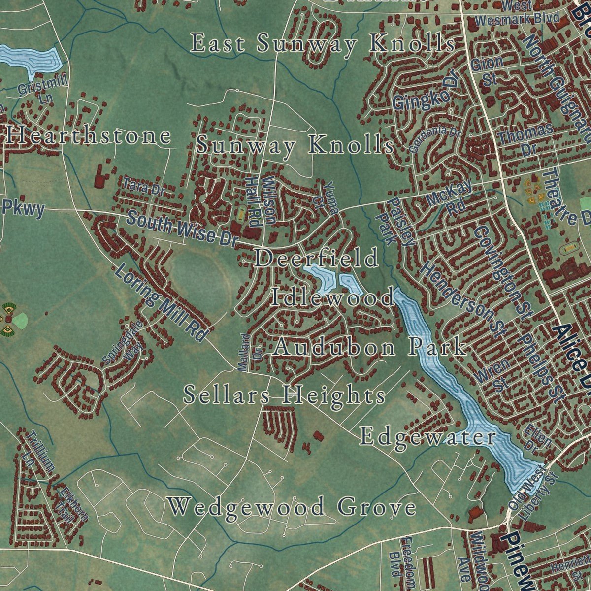
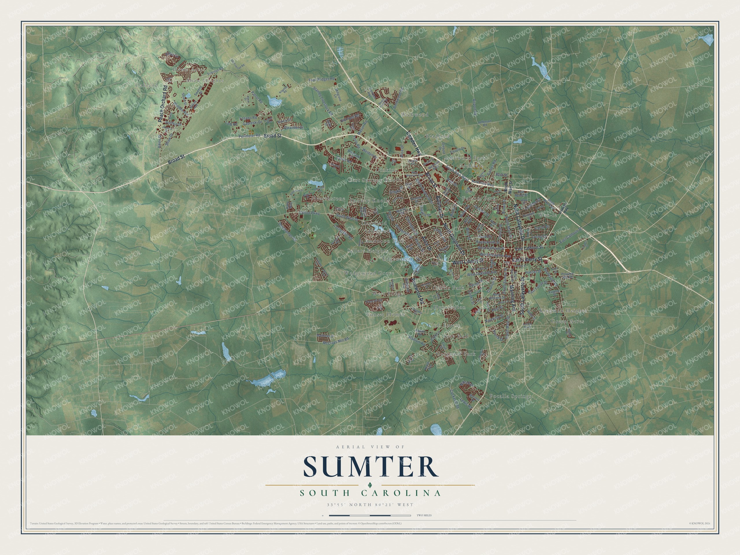
Explore Sumter, South Carolina from a whole new perspective. Created using aerial imagery and detailed geographic data, this map captures Sumter building by building, with labeled streets, familiar landmarks, and shaded topographical relief that highlights the natural contours of the landscape.
Combining modern data with the timeless character of a vintage atlas, this map is just as interesting up close as it is beautiful on the wall. Whether you grew up in Sumter, spent memorable years there, or call it home today, this unique map is a great way to celebrate a place that means something to you. Zoom in on the preview to look for your street, and then order a print to put your memories on the wall.
Three ways to hang it
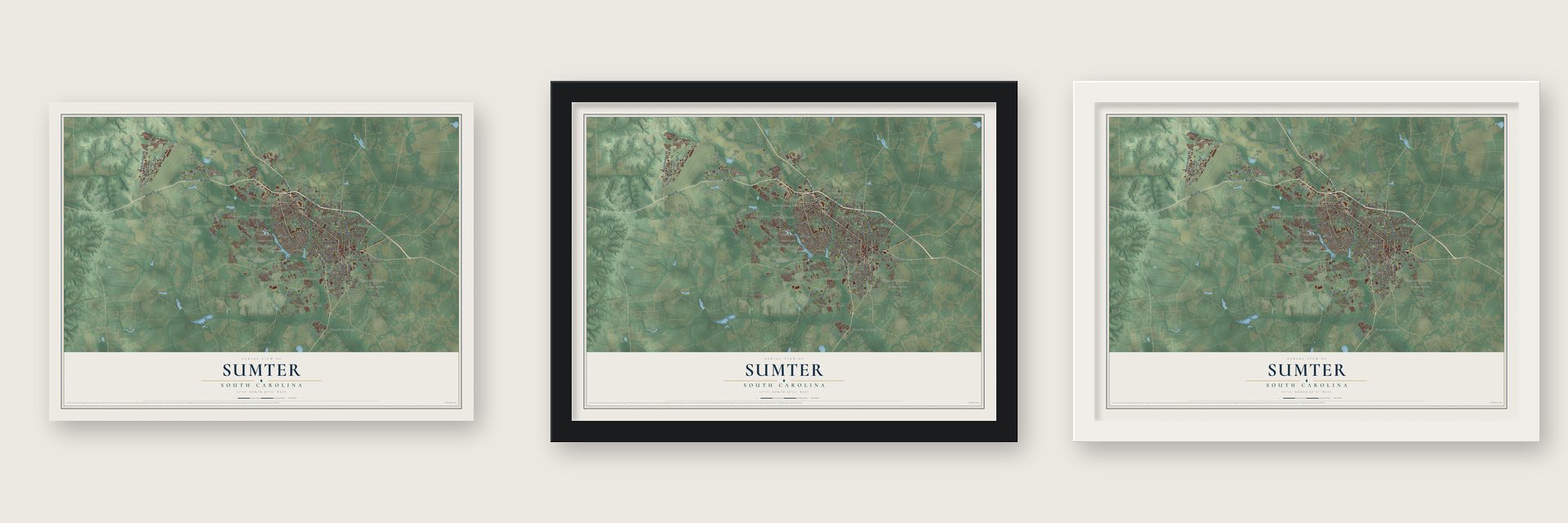
Unframed archival matte, a black wood frame or a white wood frame.
Up close
Geography Worth Displaying
This map was created using accurate cartographic data and authoritative geographic sources, including the U.S. Geological Survey and the Census Bureau. The map brings together terrain, waterways, roads, and building detail. The majority of the streets are labeled, houses are accurately depicted, and the topography is derived from government sources. Combining local data with carefully composed color and shading leads to this beautifully detailed Sumter artwork for your wall.
Rather than simply showing street outlines, we’ve included as many of the street names as we could reasonably fit on the map while keeping their names legible. Zoom in on the high resolution preview to see exactly what’s on the map. We truly set out to create a statement piece for anyone who loves Sumter. So whether it’s for you, or a gift for someone you love, we hope this map of Sumter brings back fond memories.
Read the story behind this map of Sumter, South Carolina from 2026.

About Sumter, South Carolina
Sumter is a city of 43,463 people and the county seat of Sumter County, near the middle of South Carolina. It was incorporated as Sumterville in 1845, and in 1855 the name was shortened to Sumter. The city and the county both honor General Thomas Sumter, the Revolutionary War leader called the "Fighting Gamecock," and Sumter is known as the Gamecock City.
During the Civil War the town was a supply center for the Confederacy and a place where railroad equipment was repaired. After the war its rail lines shipped cotton and timber, and when the 20th century began, tobacco as well. Shaw Air Force Base opened in 1941, and industry grew around it, most of all after World War II. On September 17, 2024, the National Park Service named the city and county a World War II Heritage City.
- Iris bulbs in a swampIn 1927 Hamilton Carr Bland, a local businessman, began turning 30 acres of swamp into a private fishing retreat. The Japanese iris he planted at his home did poorly, so after asking experts as far away as New York, he had his gardener dump the bulbs at the swamp. They bloomed the next spring. Today Swan Lake Iris Gardens holds all eight known species of swan and hosts an Iris Festival every Memorial Day weekend.
- South Carolina's first woman mayorMartha Priscilla Shaw led Sumter as mayor from 1952 to 1956. She was the first woman in the whole state to hold the job of mayor.
- Shaw Air Force Base since 1941The base is named for 1st Lt. Ervin David Shaw, an early American combat pilot of World War I. F-16s sent from Shaw were the main fighters in the Gulf War, and every president from Dwight D. Eisenhower to Barack Obama has come to the city and the base.
- Glavine, Richardson and Ray AllenFrom 1985 to 1990 Riley Park was home to the Sumter Braves, an Atlanta Braves farm team, until the club moved to Macon, Georgia. Tom Glavine, David Justice and Ryan Klesko played here on their way to the majors. Former Yankees second baseman Bobby Richardson, who has a youth baseball park named for him, and NBA star Ray Allen are both from Sumter.
- Squab since 1923Palmetto Pigeon Plant was founded in Sumter in 1923. It grew into one of the world's largest producers of squab, cornish game hens and silkie chickens.
Find your street
Names on the Sumter map
Every name below is printed on this map. Look for your street, your school, the park where you played, or the pond down the road.
Places and landmarks30
- Oakland
- Shaw Heights
- Home Acres
- Archdale
- Audubon Park
- Beckwood
- Bradford
- Club Forest
- Curtis Park
- Deerfield
- Dinkins
- East Sunway Knolls
Show all 30 places
- Edgewater
- Folsom Park
- Gatewood Park
- Green Acres
- Guignard Park
- Hearthstone
- Huntington
- Idlewood
- Ivey Hall
- Kingman Heights
- Pocalla Springs
- Sellars Heights
- Sunset Homes
- Sunway Knolls
- Wedgewood Grove
- Wen-le
- West Ridge
- Paisley Park
Streets and roads177
- Broad Street
- West Liberty Street
- East Liberty Street
- North Lafayette Drive
- Manning Avenue
- Bultman Drive
- Camden Highway
- Alice Drive
- South Lafayette Drive
- Pinewood Road
- Peach Orchard Road
- North Guignard Drive
- South Wise Drive
- South Main Street
- North Main Street
- Loring Drive
- East Calhoun Street
- Perimeter Road
- Patrol Road
- Patriot Parkway
- Rast Street
- Shaw Drive
- McCrays Mill Road
- West Oakland Avenue
- Miller Road
- South Pike West
- Loring Mill Road
- Lewis Road
- Stamey Livestock Road
- Boulevard Road
Show all 177 streets
- Haynsworth Street
- Stadium Road
- Rhodes Avenue
- Carter Road
- Deschamps Road
- Henderson Street
- West Hampton Avenue
- Polifka Drive
- Club Lane
- South Sumter Street
- West Calhoun Street
- East Fulton Street
- Church Street
- Elder Drive
- Losano Road
- Brown Street
- Council Street
- Airport Road
- Four Bridges Road
- Cockerill Road
- Aiken Street
- Terry Road
- Beckwood Road
- Lemmon Street
- Winn Street
- Hauser Street
- Old Field Road
- Lindley Avenue
- Oleander Drive
- Covington Street
- Phelps Street
- Hoyt Street
- Palmetto Street
- Carrol Drive
- Gabreski Drive
- Theatre Drive
- Mason Road
- Cooks Street
- Gaines Road
- Jackson Street
- Weldon Drive
- Vinca Street
- Gingko Drive
- Byrd Street
- Niblick Drive
- Carver Street
- Hasel Street
- Houck Street
- Lark Road
- Stuart Street
- South Pike East
- Wilson Hall Road
- Millgrove Lane
- North Pike West
- Frierson Road
- Foxcroft Circle
- South Harvin Street
- Sweeny Street
- Killian Avenue
- Poinsett Drive
- Jefferson Road
- West Williams Street
- Fort Street
- Plowden Mill Road
- Gion Street
- Electric Drive
- Tucson Drive
- Wright Street
- Matthews Drive
- Pinson Street
- Wateroak Lane
- Wall Street
- Pear Street
- Webb Street
- Masters Drive
- Thomas Drive
- Wildwood Avenue
- Wesmark Boulevard
- East Moore Street
- Golfair Road
- Diebold Drive
- McKay Road
- Eugene Street
- Batty Way
- Middle Street
- Wren Street
- Floyd Drive
- Harry Avenue
- Duke Drive
- Lula Lane
- Ketch Avenue
- Oswego Highway
- West Wesmark Boulevard
- North Wise Drive
- North Purdy Street
- Beacon Drive
- Beach Forest Drive
- Dewees Street
- Old Frierson Road
- Lee Street
- Myers
- Habitat Drive
- Old West Liberty Street
- Market Street
- Decatur Street
- Ellen Drive
- Columbia Circle
- Freedom Boulevard
- Hoyt Heights
- Johnson Street
- Gristmill Lane
- Agnes Street
- Klapthor Road
- Douglas Avenue
- Trillium Lane
- Tara Drive
- Dryden Way
- Harm Drive
- Tryon Street
- Yuma Court
- Allen Drive
- Mallard Drive
- West Bartlette Street
- Maplecreek Drive
- Burns Drive
- Gordonia Drive
- Springdale Way
- Ruger Drive
- Poulas Street
- Atlantic Street
- East Red Bay Road
- Bland Avenue
- Henrietta Street
- Garden Street
- Progress Street
- Bowman Drive
- Prince Street
- Kendrick Street
- Elkhorn Trail
- Harrell Road
- South Street
- Larkin Street
- Warwick Drive
- Aidan Drive
- Neeley Drive
- Dugan Street
- Cedar Street
Names are listed as they appear on the printed map. Zoom into the product photos to find them.
The art of mapping a place
How This Map Was Made
Real places. Remarkable detail. Discover the layers that turn geographic data into a map of home.

The view from above
Aerial imagery reveals the character of the land: woodland, open fields, and the patterns of a place.

The shape of the land
Elevation data brings hills, valleys, and subtle changes in the landscape into view.

The details of home
Roads, waterways, and building footprints come together to make the map feel unmistakably local.

Geography becomes art
Considered color, shading, and typography bring the layers together in a map made for your wall.


Process illustrated with Mendon, Massachusetts. Aerial imagery: USDA NAIP. Terrain: USGS 3D Elevation Program. Map details and finished artwork: KNOWOL.
The Details
About This Print
Choose an archival matte print, or a black or white Ayous wood frame. The archival matte print is unframed.
Select your size and finish above to see the matching product image and price.
Materials & Craftsmanship
A contemporary map with the character of a classic atlas, printed on archival matte paper. Optional frames are made from Ayous wood.
Your printed map does not include the watermark shown in the full-map preview.
Shipping & Delivery
Free shipping within the United States. Every print is made to order in the USA.
Buying a gift? Add a note in your cart and we'll include it. We never put prices in the package.
Prints ship within 2 to 3 business days. Allow 7 to 10 days total from ordering for delivery. Timing may vary during holidays or periods of high order volume.
Read our shipping policy.
Returns and damaged prints
Each print is made to order. Change-of-mind refunds are not available after production.
If your print arrives damaged, misprinted or incorrect, contact support@knowol.com within 30 days of receiving it. Include your order number, photos and a description of the issue.
Read our full refund and replacement policy. For questions about your order, email support@knowol.com.
Find your town
Looking for another city?
Find a map of home in our South Carolina collection, or any town in the country.
Nearby
Maps of towns near Sumter
Know someone from one of these towns? Their map makes a great gift.
 Cherryvale
, South Carolina
From $39.99See the map
 Mulberry
, South Carolina
From $39.99See the map
 Cane Savannah
, South Carolina
From $39.99See the map
More maps nearby: South Sumter, Dalzell, East Sumter, Oakland and Oswego.