
Search for another town




Free U.S. delivery 7 to 10 days after you order
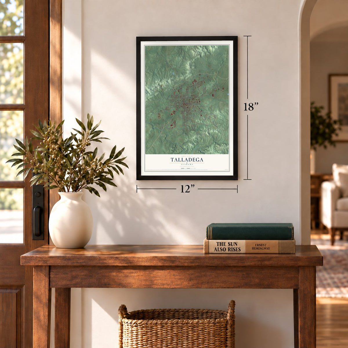
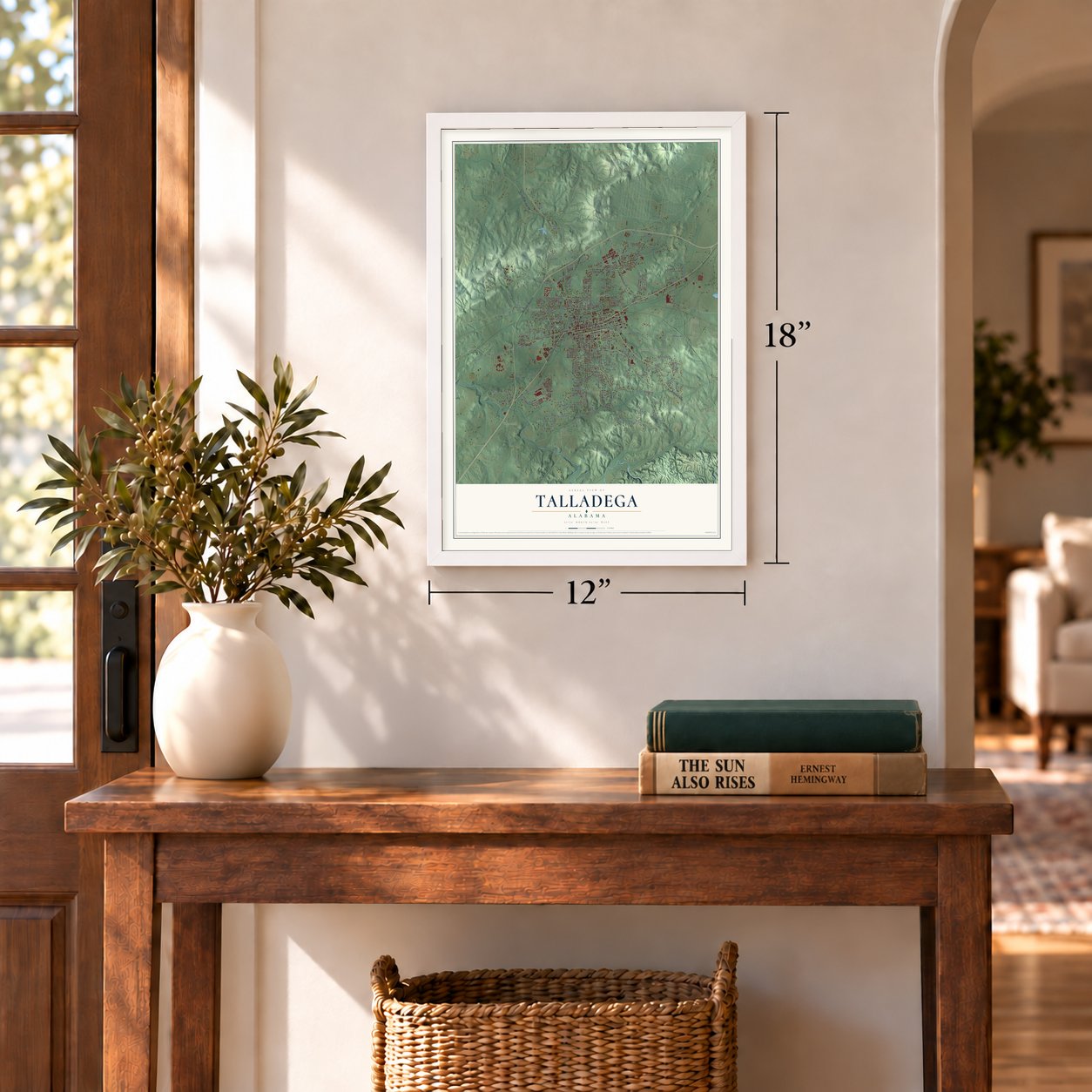
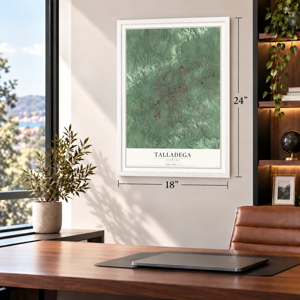
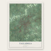
Talladega, Alabama Map Art
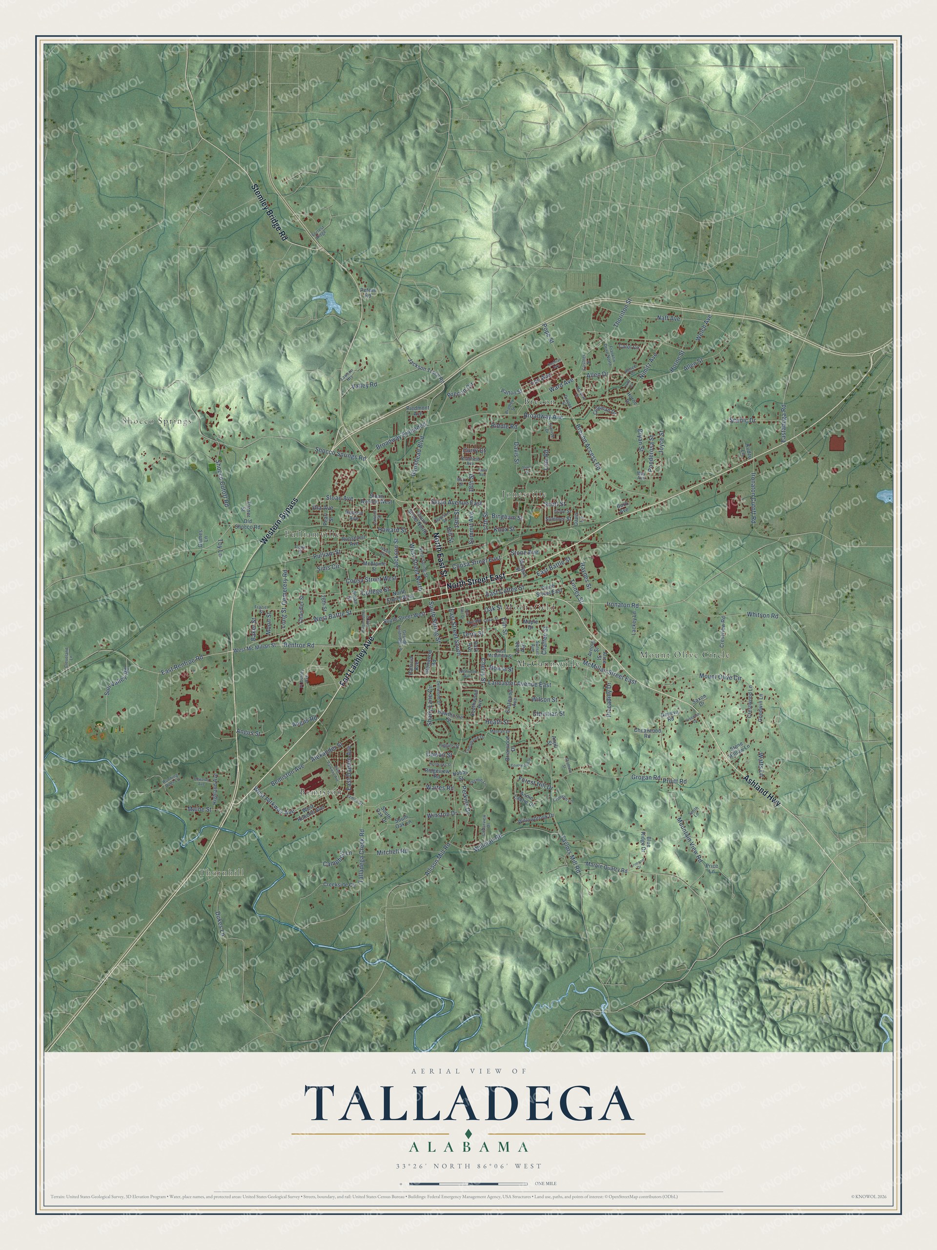
A new map of Talladega, Alabama, made in 2026 and printed to order on thick archival matte paper.
12" x 18" Archival Matte Print
A Map of Home. A Work of Art.
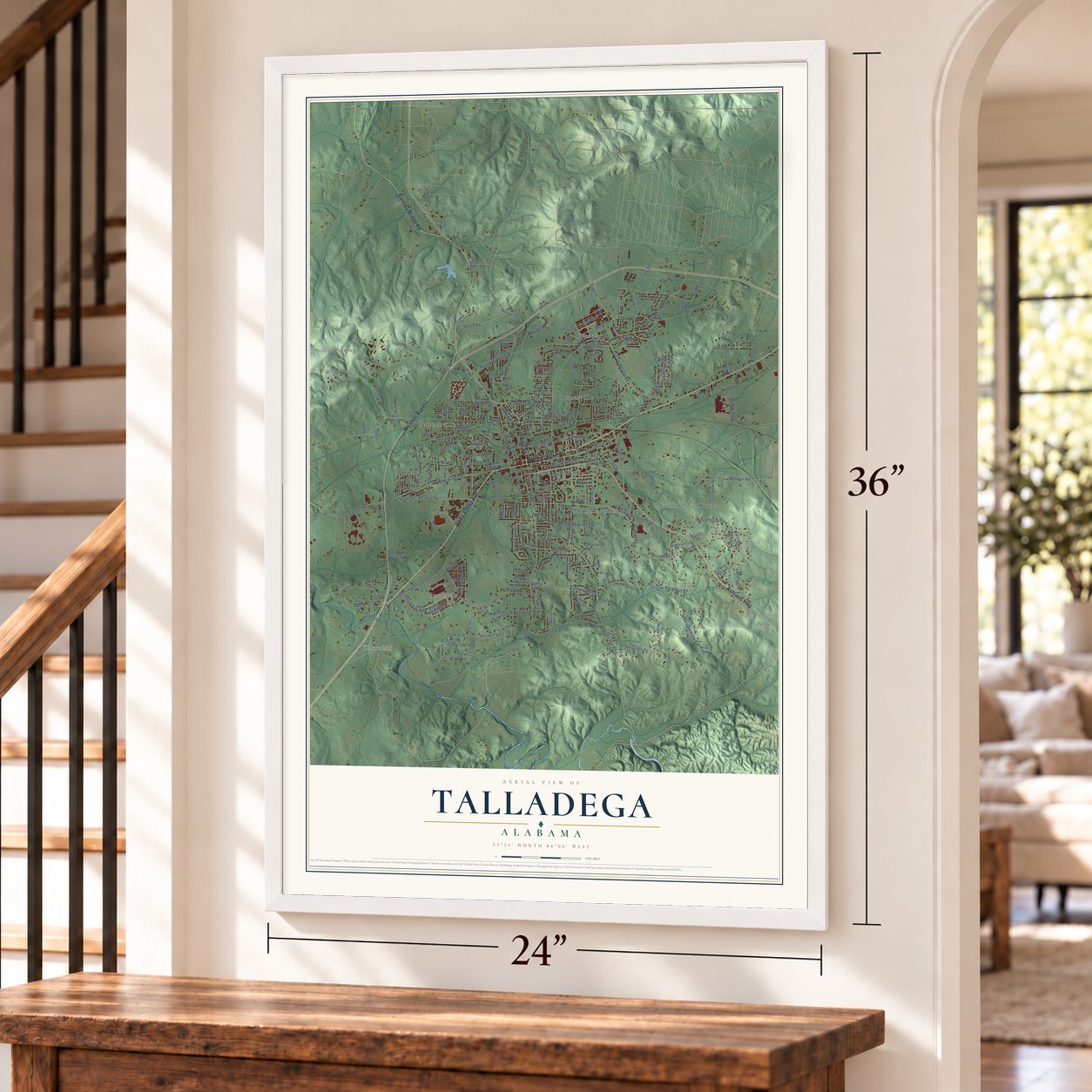
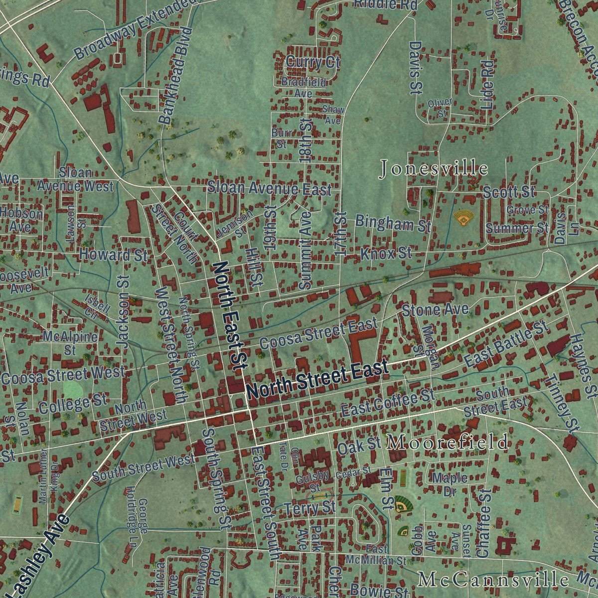
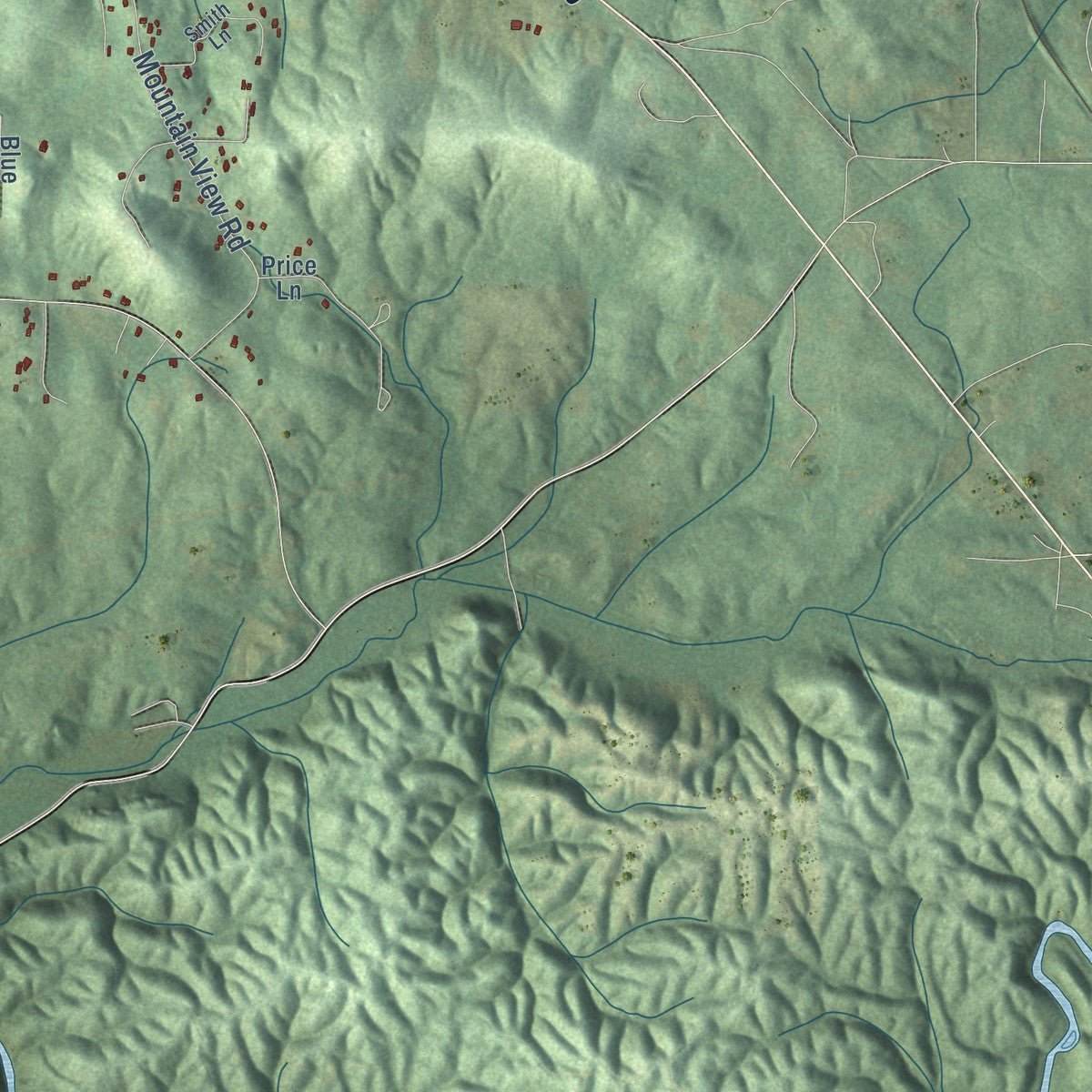
Explore Talladega, Alabama from a whole new perspective. Created using aerial imagery and detailed geographic data, this map captures Talladega building by building, with labeled streets, familiar landmarks, and shaded topographical relief that highlights the natural contours of the landscape.
Combining modern data with the timeless character of a vintage atlas, this map is just as interesting up close as it is beautiful on the wall. Whether you grew up in Talladega, spent memorable years there, or call it home today, this unique map is a great way to celebrate a place that means something to you. Zoom in on the preview to look for your street, and then order a print to put your memories on the wall.
Three ways to hang it
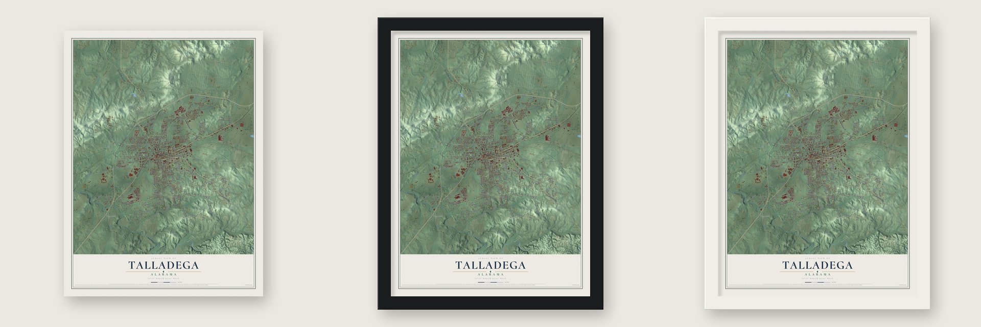
Unframed archival matte, a black wood frame or a white wood frame.
Up close
Geography Worth Displaying
This map was created using accurate cartographic data and authoritative geographic sources, including the U.S. Geological Survey and the Census Bureau. The map brings together terrain, waterways, roads, and building detail. The majority of the streets are labeled, houses are accurately depicted, and the topography is derived from government sources. Combining local data with carefully composed color and shading leads to this beautifully detailed Talladega artwork for your wall.
Rather than simply showing street outlines, we’ve included as many of the street names as we could reasonably fit on the map while keeping their names legible. Zoom in on the high resolution preview to see exactly what’s on the map. We truly set out to create a statement piece for anyone who loves Talladega. So whether it’s for you, or a gift for someone you love, we hope this map of Talladega brings back fond memories.
Read the story behind this map of Talladega, Alabama from 2026.
About Talladega, Alabama
Talladega is a city of 15,861 people and the seat of Talladega County, about 50 miles east of Birmingham. Its name grew out of Talatigi, a Creek village that stood close by before white settlers arrived. On Nov. 9, 1813, Andrew Jackson beat the Red Stick Creeks here, and that victory, followed by Horseshoe Bend, opened the region to settlers, though the land stayed Creek territory until the Treaty of Cusseta in 1832.
That treaty gave a half section of land to Joseph Bruner, an African American interpreter, as a reward for his work. Bruner sold it to Jesse Duran, who gave the tract for a town site in July 1834 in return for a share of the money from the lot sales. Lawmakers incorporated Talladega on January 9, 1835, and the young town of log houses, taverns and trading posts won the county courthouse by a single vote.
- A courthouse paid for by gamblingIn February 1836 a special tax fell on racetracks, racehorses, billiard tables and card playing to raise money for the courthouse, which was finished in 1838. It has come through a tornado and a fire, and no other Alabama courthouse has stayed in use as long without a break. The square around it became the Talladega Courthouse Square Historic District, listed on the National Register in 1972.
- Two colleges born in 1854Delegates of the Methodist Episcopal Church, South held their Alabama Conference in Talladega from December 13 to 18, 1854, and voted to start a college. East and west Alabama fought so hard over its location that two schools were chartered in 1856: Southern University in Greensboro and East Alabama Male College in Auburn. The Auburn school became Auburn University in 1960. In 1918 the Greensboro school joined with Birmingham College, and together they became Birmingham-Southern College.
- Alabama's first school for the blindIn 1858 Talladega opened the first school for blind students in the state. It grew into today's Alabama Institute for the Deaf and Blind. The first members of The Blind Boys of Alabama, the gospel group, met each other there as students.
- Saved by a Masonic signTalladegans were split about evenly on secession, but once the Civil War began they raised the Talladega Rifles and supplied uniforms, a nitre works, a hospital and a prison. On July 17, 1864, Union troops under Gen. Lovell H. Rousseau burned the railroad depot. On April 22, 1865, Gen. John T. Croxton's raiders set buildings on fire until a local judge showed him a Masonic sign and begged him to spare the rest of the town.
Find your street
Names on the Talladega map
Every name below is printed on this map. Look for your street, your school, the park where you played, or the pond down the road.
Places and landmarks9
- Thornhill
- Shocco Springs
- Bemiston
- Brecon
- Jonesville
- McCannsville
- Moorefield
- Mount Olive Circle
- Pulliamville
Streets and roads217
- Fort Lashley Avenue
- North Street East
- Western Bypass
- North East Street
- Ashland Highway
- Stemley Bridge Road
- West Battle Street
- Renfroe Road
- Broadway Avenue
- Brecon Access Road
- East Street South
- East Renfroe Road
- Welch Avenue
- Heath Street
- Dukes Lane
- Allison Mill Road
- Wilson Street
- Cherry Street
- Bankhead Boulevard
- Thornton Street
- Mitchell Road
- Shocco Cutoff Road
- South Spring Street
- Coosa Street East
- Winston Drive
- Ironaton Road
- Mountain View Road
- Shocco Springs Road
- Taylors Mill Road
- McMillan Street East
Show all 217 streets
- Nimitz Avenue
- 17th Street
- Davis Street
- Tinney Street
- Naff Avenue
- Howard Street
- East Battle Street
- Pulliam Street
- Grogan Road
- Willman Road
- East Coffee Street
- Coosa Street West
- Bemiston Avenue
- Allen Street
- Lancaster Avenue East
- Whitson Road
- Elm Street
- Ironaton Cutoff Road
- West Street North
- Brecon Circle
- Shady Lane Circle
- Talladega Creek Road
- Lee Avenue
- Waites Road
- Maine Street
- Haynes Street
- Allen Drive
- Curry Court
- College Street
- Eastaboga Road
- West Parkway Avenue
- Pope Street
- Jackson Street
- Ward Avenue
- 19th Street
- Angus Road
- Hill Street
- Scott Street
- Long Street
- Broadway Extended
- Sloan Avenue East
- Sun Valley Road
- Valley Road
- Campbell Lane
- East Damon Avenue
- Riddle Road
- Knox Street
- Chaffee Street
- Stone Avenue
- Angus Street
- 18th Street
- Scenic Drive
- Forest Hill Drive
- Alexander Street
- Ola Avenue
- Sims Circle
- Bryan Street
- Cemetery Road
- Joyce Street
- Piccadilly Drive
- Ponderosa Street
- Perkins Drive
- Pruitt Road
- Bingham Street
- Summit Avenue
- Watts Lane
- Toy Lane
- Baker Street
- Christian Street
- Sloan Avenue
- Oak Street
- Bowie Street
- Cowan Street
- Lide Road
- Moon Street
- Terry Street
- Horne Street
- West Mc Millan Street
- Horne Drive
- Patton Street
- Briarwood Drive
- Park Avenue
- Crestview Road
- Court Street North
- Old Shocco Road
- Marble Quarry Road
- Jackson Trace Road
- South Street West
- Blue Ridge Drive
- Creekside Circle
- North Street West
- South Oak Drive
- Nolan Street
- Roosevelt Avenue
- Eastwood Avenue
- Piedmont Avenue
- Price Lane
- Sloan Avenue West
- Hobson Avenue
- South Street East
- Stone Hollow Lane
- West Roberts Avenue
- Willowbrook Drive
- Patricia Avenue
- Highland Avenue
- Hawthorne Street
- Maple Drive
- Geneva Road
- Crestwood Lane
- Annie Laurie Drive
- Chandler Street
- Southwood Avenue
- Coleman Drive
- Glenwood Road
- Ridgeview Road
- Lackey Lane
- Morgan Street
- Goodwin Lane
- South Oak Lane
- Cheatwood Road
- Pearl Street
- Burk Avenue
- Summer Street
- McAlpine Street
- Arnold Street
- Carol Circle
- Alice Street
- 26th Street
- Turner Street
- Hobbs Street
- Kudzu Lane
- Cobb Avenue
- Grimes Lane
- Davis Lane
- Saxon Drive
- Anjill Street
- Peters Road
- Meleah Drive
- Cook Street
- Ft Ashley Avenue
- Tomahawk Drive
- Franklin Drive North
- East McMillian Street
- North Spring Street
- Jasmin Lane
- Costner Street
- Lawson Heights
- George Holdridge Lane
- Smith Lane
- Jemison Street
- Dellwood Drive
- Sunrise Drive
- James Street
- Lawson Street
- Frazier Street
- Cedarview Drive
- Burr Street
- Bradfield Avenue
- Bradley Street
- Renee Drive
- Crimson Lane
- May Avenue
- Higgins Street
- Cleveland Lane
- Gulsby Street
- Isbell Circle
- Grove Street
- Running Deer Lane
- Dianne Street
- Forrest Ridge
- Sunset Avenue
- Martin Luther King Drive
- East Parkway Avenue
- Cedar Street
- Cochran Avenue
- Silverwood Drive
- Shaw Avenue
- Marshall Street
- Crimson Drive
- Hendricks Street
- Olin Tate Drive
- Edgewood Avenue
- Edwards Avenue
- Freeman Drive
- Southern Street
- Oliver Street
- Judy Circle
Names are listed as they appear on the printed map. Zoom into the product photos to find them.
The art of mapping a place
How This Map Was Made
Real places. Remarkable detail. Discover the layers that turn geographic data into a map of home.

The view from above
Aerial imagery reveals the character of the land: woodland, open fields, and the patterns of a place.

The shape of the land
Elevation data brings hills, valleys, and subtle changes in the landscape into view.

The details of home
Roads, waterways, and building footprints come together to make the map feel unmistakably local.

Geography becomes art
Considered color, shading, and typography bring the layers together in a map made for your wall.


Process illustrated with Mendon, Massachusetts. Aerial imagery: USDA NAIP. Terrain: USGS 3D Elevation Program. Map details and finished artwork: KNOWOL.
The Details
About This Print
Choose an archival matte print, or a black or white Ayous wood frame. The archival matte print is unframed.
Select your size and finish above to see the matching product image and price.
Materials & Craftsmanship
A contemporary map with the character of a classic atlas, printed on archival matte paper. Optional frames are made from Ayous wood.
Your printed map does not include the watermark shown in the full-map preview.
Shipping & Delivery
Free shipping within the United States. Every print is made to order in the USA.
Buying a gift? Add a note in your cart and we'll include it. We never put prices in the package.
Prints ship within 2 to 3 business days. Allow 7 to 10 days total from ordering for delivery. Timing may vary during holidays or periods of high order volume.
Read our shipping policy.
Returns and damaged prints
Each print is made to order. Change-of-mind refunds are not available after production.
If your print arrives damaged, misprinted or incorrect, contact support@knowol.com within 30 days of receiving it. Include your order number, photos and a description of the issue.
Read our full refund and replacement policy. For questions about your order, email support@knowol.com.
Find your town
Looking for another city?
Find a map of home in our Alabama collection, or any town in the country.
Nearby
Maps of towns near Talladega
Know someone from one of these towns? Their map makes a great gift.
 Waldo
Waldo, Alabama
From $39.99See the map
 Lincoln
, Alabama
From $39.99See the map
 Munford
, Alabama
From $39.99See the map
More maps nearby: Pell City, Riverside, Childersburg, Oxford and Bon Air.