
Search for another town




Free U.S. delivery 7 to 10 days after you order
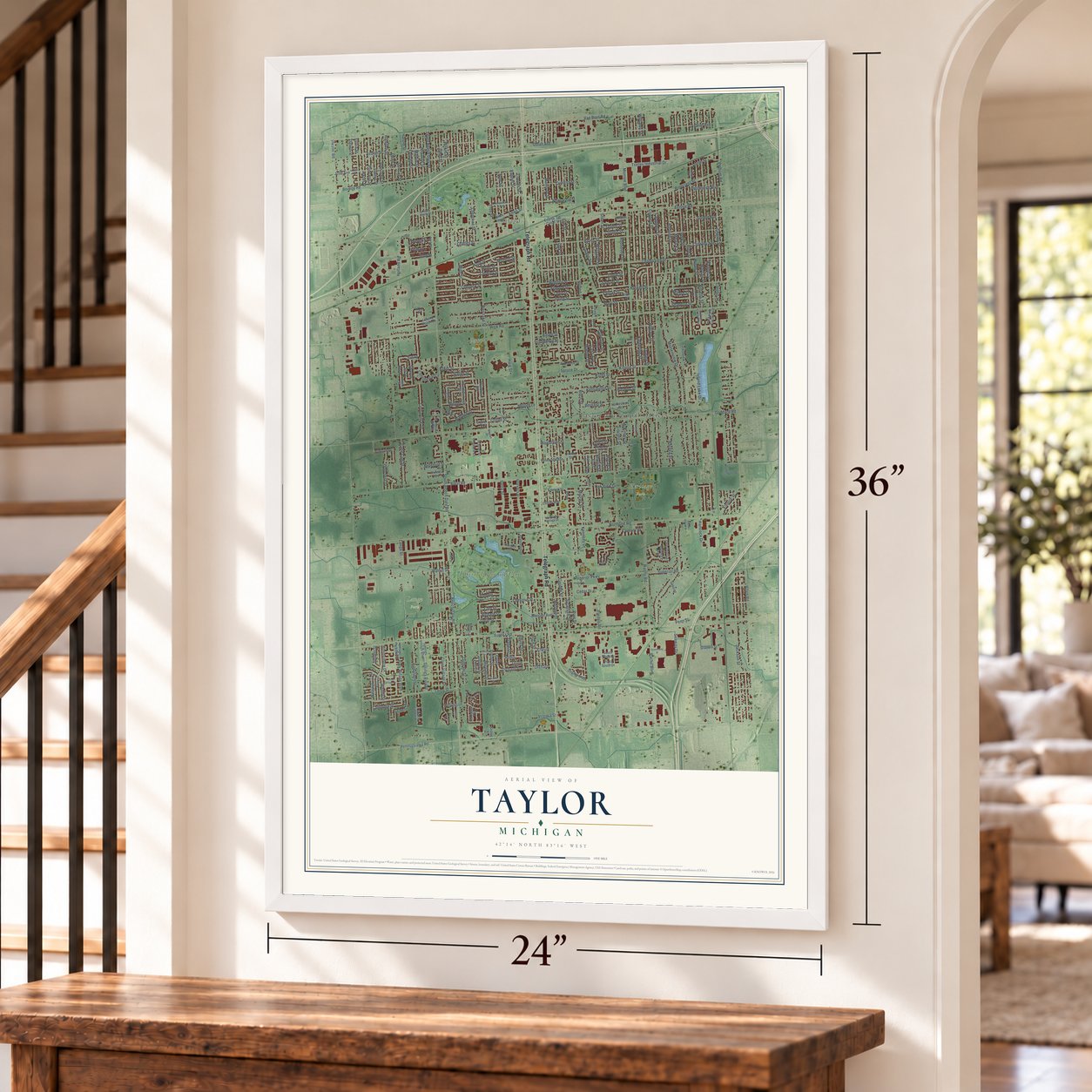
Taylor, Michigan Map Art
Building by building, with labeled streets and shaded relief.
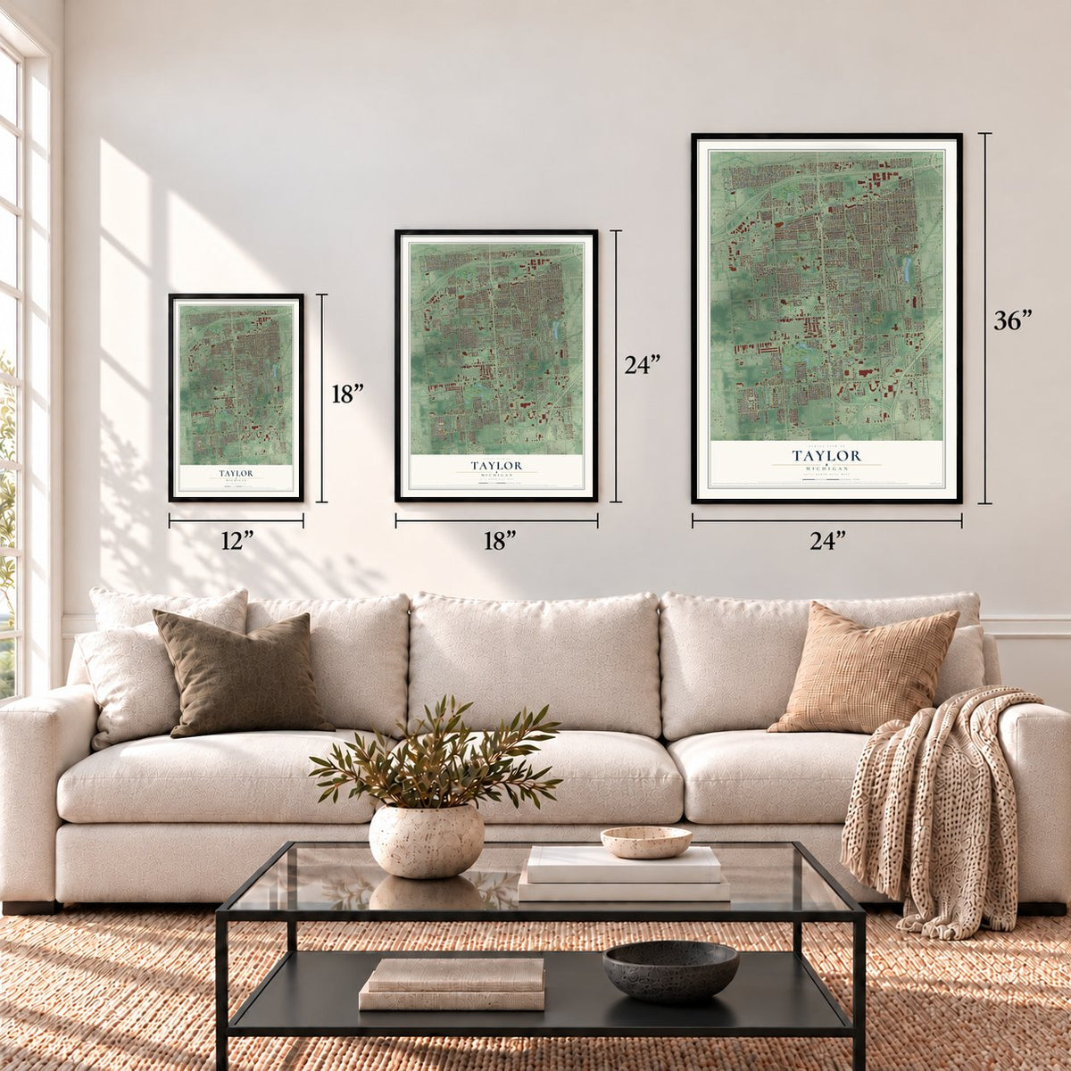
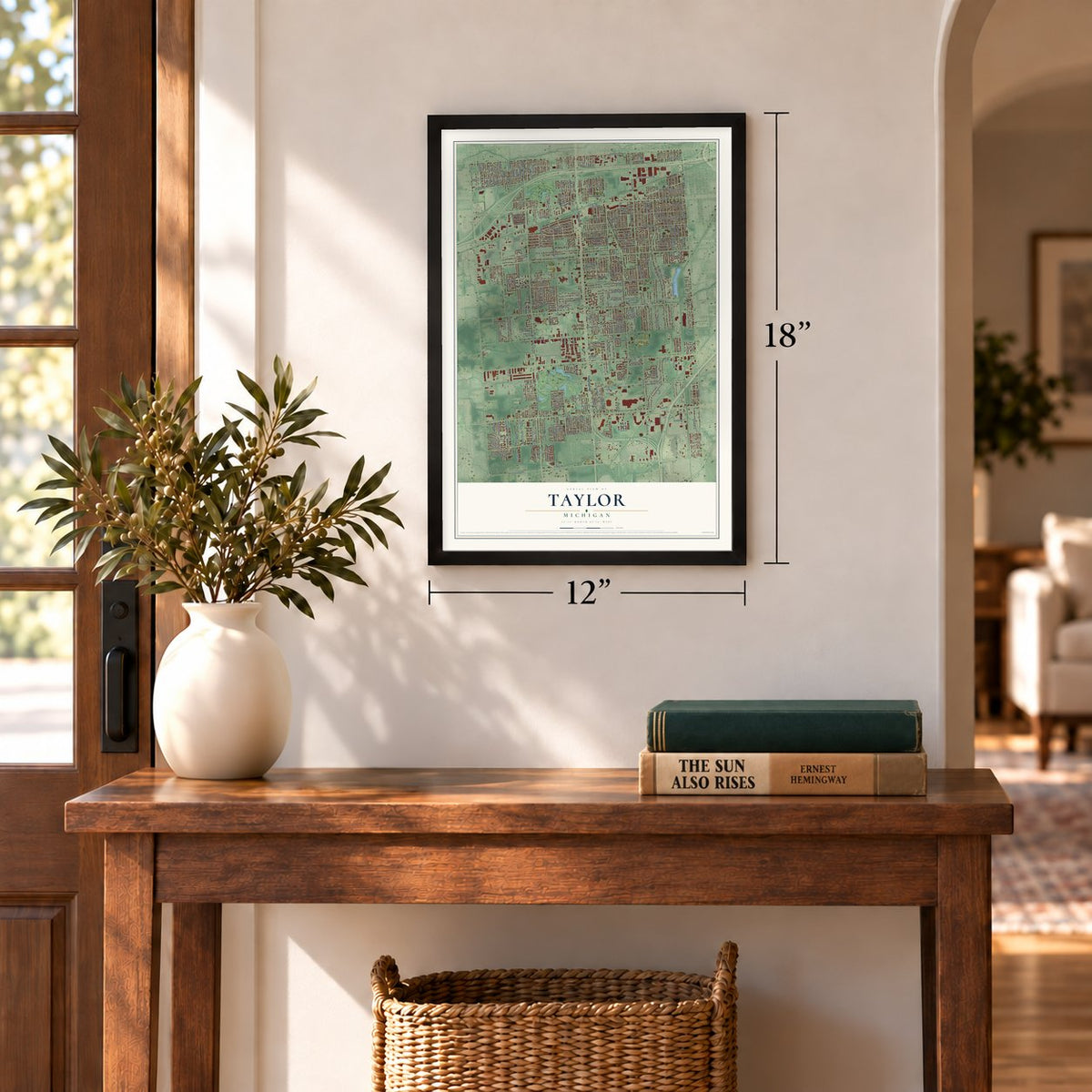
12" x 18" Archival Matte Print
A Map of Home. A Work of Art.
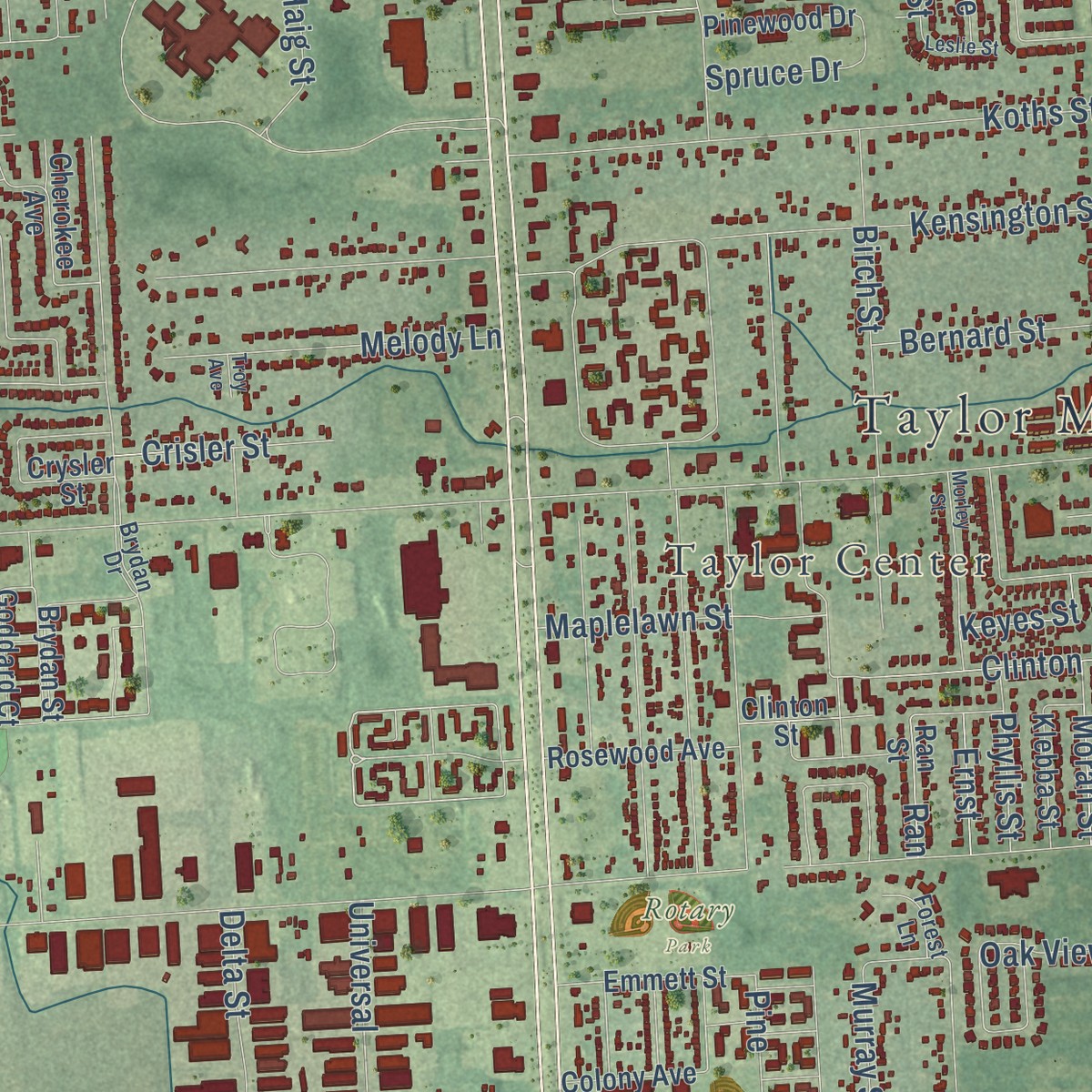
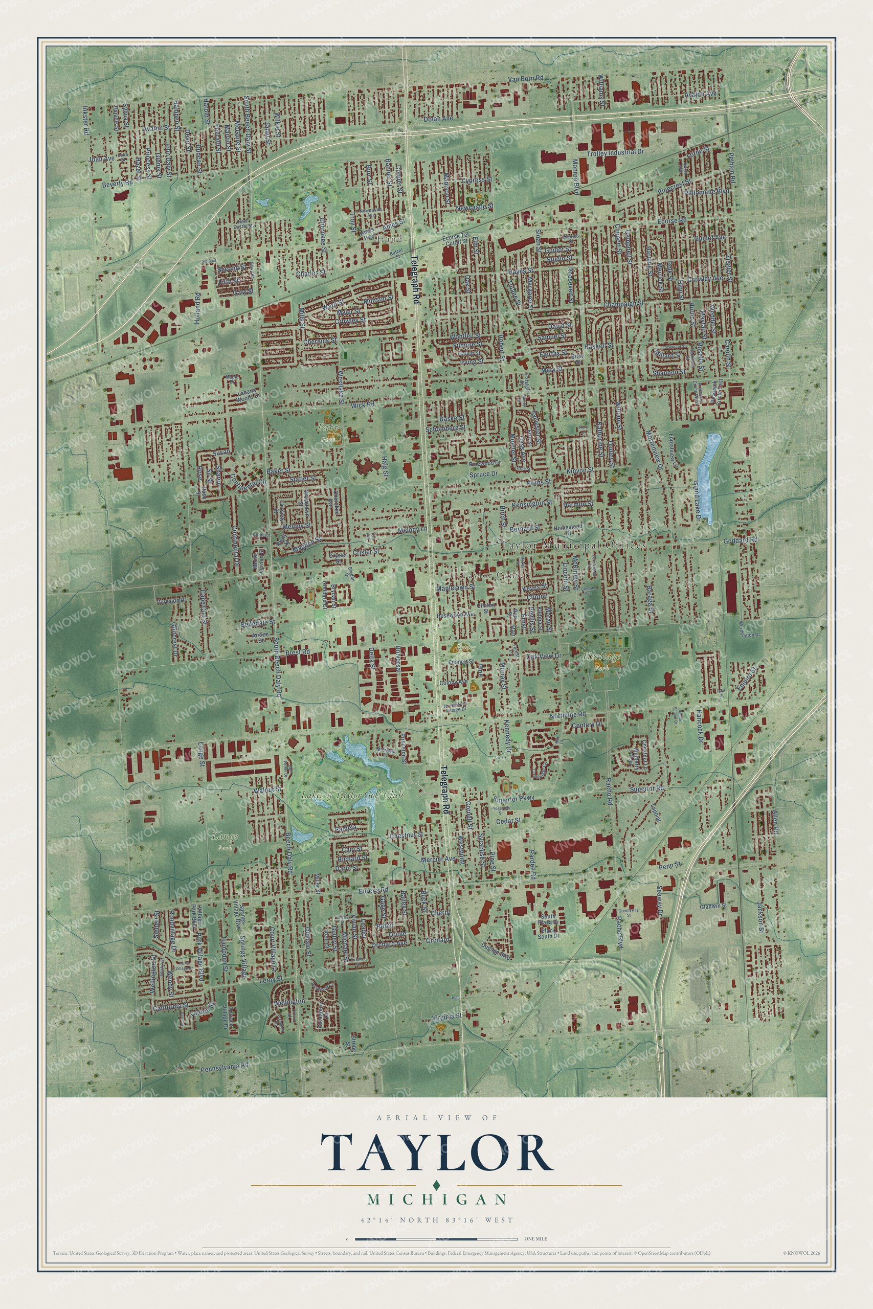
Explore Taylor, Michigan from a whole new perspective. Created using aerial imagery and detailed geographic data, this map captures Taylor building by building, with labeled streets, familiar landmarks, and shaded topographical relief that highlights the natural contours of the landscape.
Combining modern data with the timeless character of a vintage atlas, this map is just as interesting up close as it is beautiful on the wall. Whether you grew up in Taylor, spent memorable years there, or call it home today, this unique map is a great way to celebrate a place that means something to you. Zoom in on the preview to look for your street, and then order a print to put your memories on the wall.
Three ways to hang it
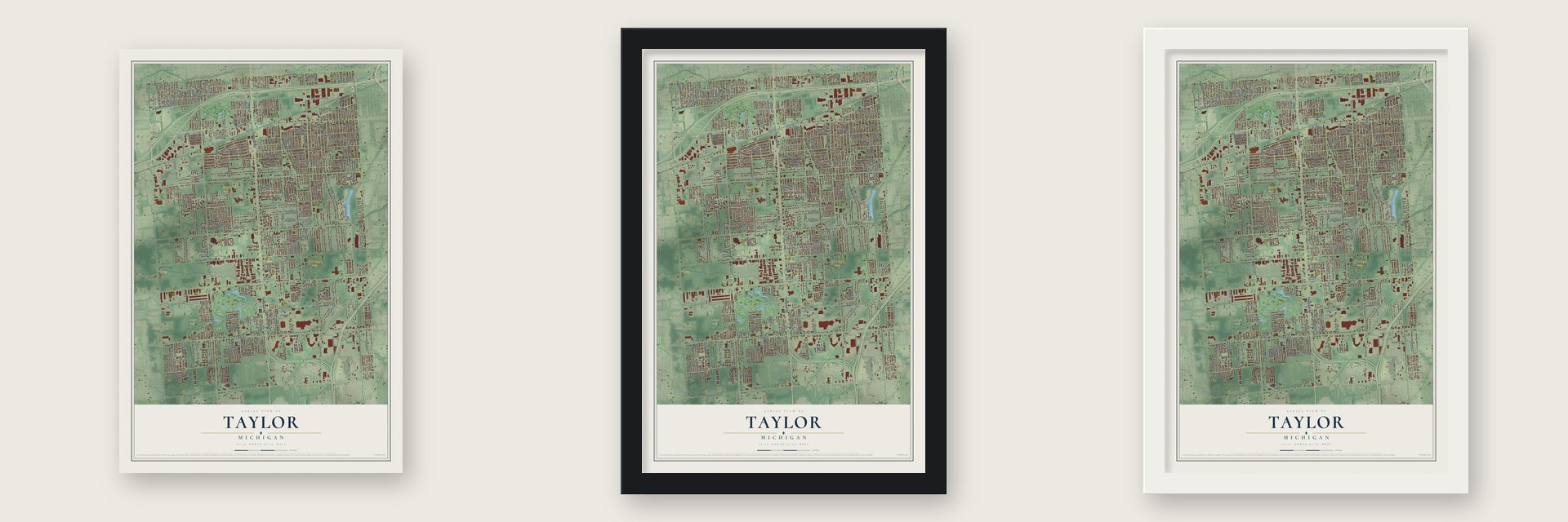
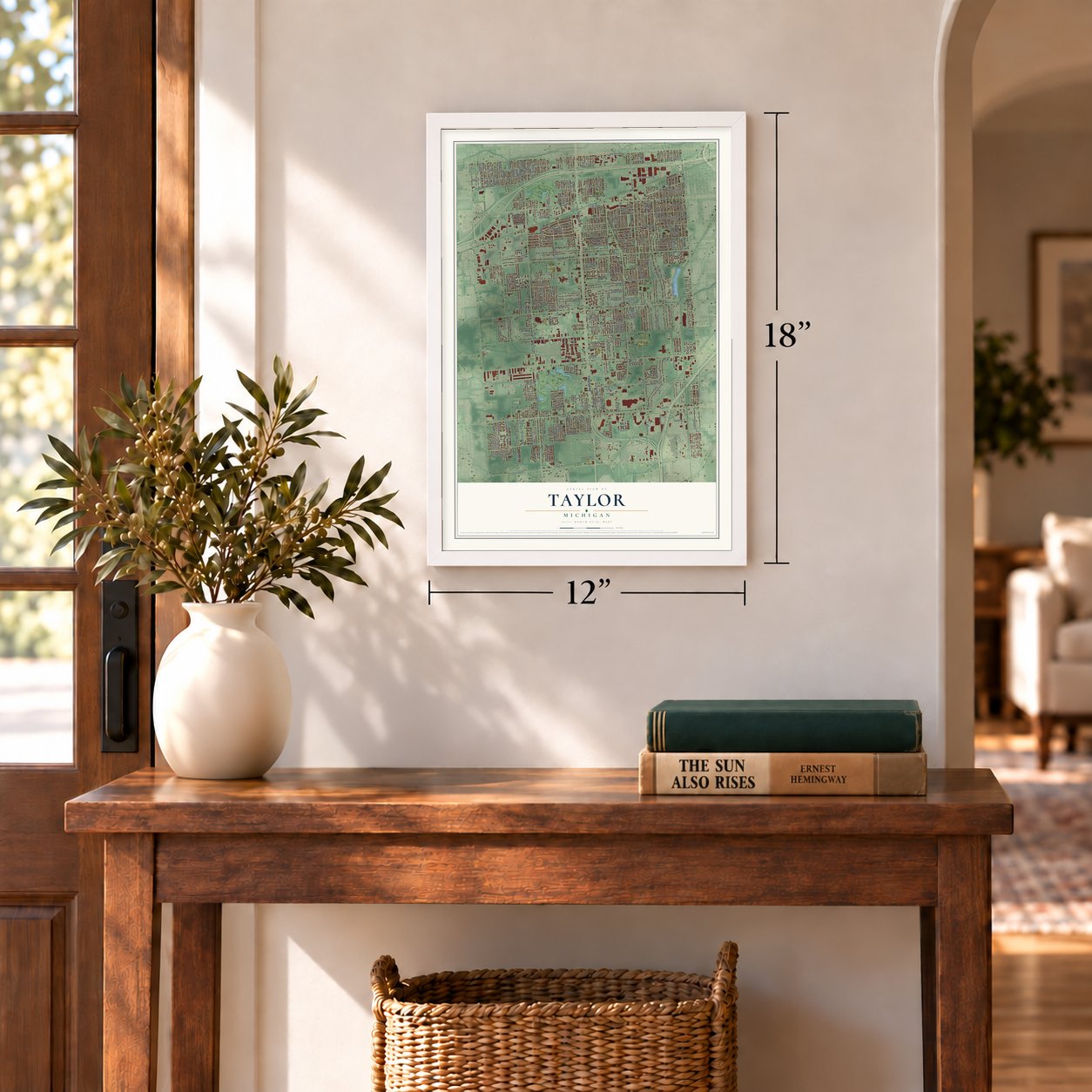
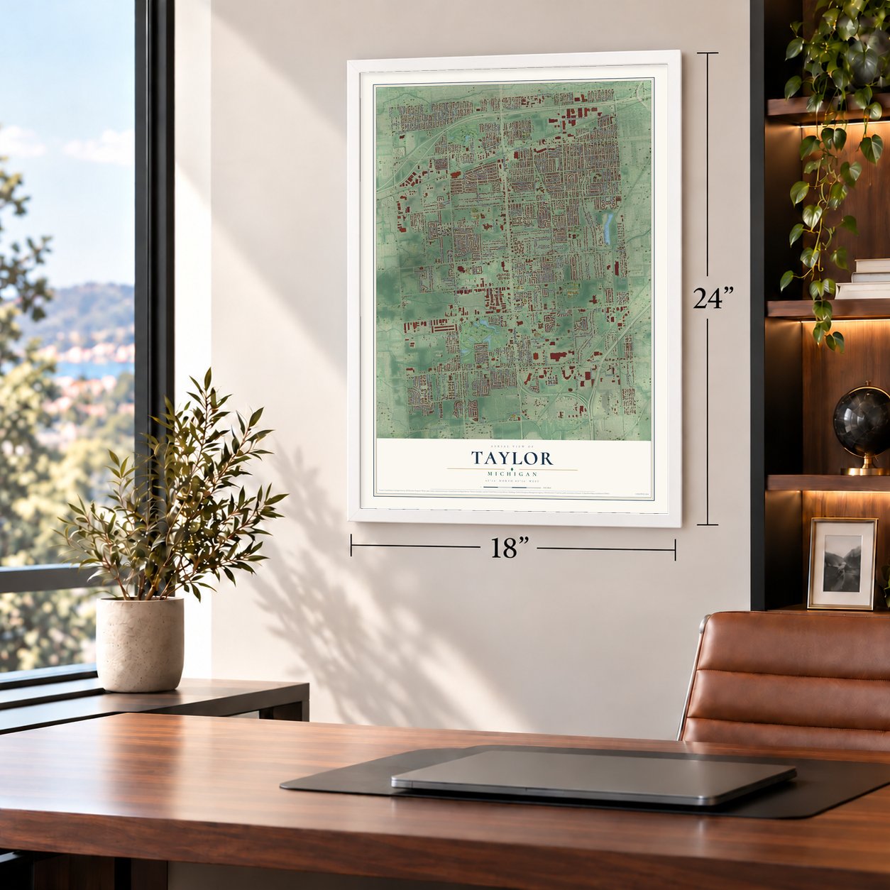
Unframed archival matte, a black wood frame or a white wood frame.
Up close
Geography Worth Displaying
This map was created using accurate cartographic data and authoritative geographic sources, including the U.S. Geological Survey and the Census Bureau. The map brings together terrain, waterways, roads, and building detail. The majority of the streets are labeled, houses are accurately depicted, and the topography is derived from government sources. Combining local data with carefully composed color and shading leads to this beautifully detailed Taylor artwork for your wall.
Rather than simply showing street outlines, we’ve included as many of the street names as we could reasonably fit on the map while keeping their names legible. Zoom in on the high resolution preview to see exactly what’s on the map. We truly set out to create a statement piece for anyone who loves Taylor. So whether it’s for you, or a gift for someone you love, we hope this map of Taylor brings back fond memories.
Read the story behind this map of Taylor, Michigan from 2026.
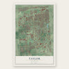
Find your street
Names on the Taylor map
Every name below is printed on this map. Look for your street, your school, the park where you played, or the pond down the road.
Places and landmarks8
- Taylor Municipal Offices
- Hand
- Taylor Center
- Heritage Park
- Lange Park
- Papp Park
- Rotary Park
- Lakes of Taylor Golf Club
Streets and roads280
- Telegraph Road
- Ecorse Road
- Fifth Street
- Continental Drive
- Weddel Street
- Susan
- Avalon Street
- Melody Street
- Rose
- Island Lake Drive
- Michael Street
- Champaign Street
- Court Village Lane
- Millard Street
- Inkster Road
- Beech Daly Road
- South Beech Daly Road
- South Beech Daly Street
- Pardee Road
- Eureka Road
- Pine Street
- Northline Road
- Pennsylvania Road
- Goddard Road
- Wick Road
- Van Born Road
- Mortenview Drive
- Jackson Street
- Brest Road
- Allen Road
Show all 280 streets
- Ziegler Street
- Pelham Road
- Cornell Street
- Monroe Boulevard
- Mary Street
- Westlake Street
- Haig Street
- William Street
- Syracuse Street
- Hayes Street
- Huron Street
- Superior Road
- Katherine Street
- Haskell Street
- Holland Road
- Dudley Street
- Westpoint
- Polk Street
- Racho Road
- Gulley Street
- Banner Street
- McGuire Street
- Trolley Industrial Drive
- Elm Street
- Birch Street
- Clippert Street
- Bailey Street
- Kensington Street
- Hipp Street
- Racho Boulevard
- Burr Street
- Wohlfeil Street
- Leroy Street
- Beverly Road
- Oak Street
- Mayfair Street
- Marvin Street
- Joan Avenue
- Koths Street
- Fellrath Street
- Cooper Street
- Buck Street
- Kinyon Street
- Oldham Street
- Lincoln Street
- Merrick Street
- Roosevelt Street
- Harold Street
- Lange Street
- Filmore Street
- Harding Street
- Hampden Street
- Avalon Avenue
- Wilkie Street
- Pondvillage Drive
- Chestnut Street
- Robert Street
- McKinley Street
- Crowley Street
- Troy Street
- Vivian Street
- Baraga Street
- Chernick Street
- Baske Street
- Mercier Avenue
- Cypress Street
- Campbell Street
- Cherokee Street
- Hazel Street
- Princess Street
- Glenis Street
- Pinecrest Street
- Sylvia Street
- Janet Street
- Wellington Street
- Superior Parkway
- Baker Street
- Orchard Avenue
- Madden Street
- Bernard Street
- Margaret Street
- Crisler Street
- Ward Street
- Sloan Street
- Guidot Avenue
- California Street
- Madison Street
- Delta Street
- Park Village Boulevard
- Springs Village
- Newcastle Street
- Cape Cod Street
- Clinton
- Myler Street
- Universal
- Continental Circle
- John Daly Street
- Orchard
- Virginia Street
- Hampen Street
- Tulane Street
- Mueller Street
- Wendy Street
- Duncan Street
- Sylvester Street
- Irving Street
- Melody Lane
- Dean Street
- Cherry
- Wellington
- Golfcrest Drive
- Leader
- Murray Street
- Maplelawn Street
- Crowley Avenue
- Empire Street
- Gage Street
- Munson Street
- Lorne Street
- Statler Street
- Ames Street
- Lauren Street
- Fairfax Street
- Harmon Street
- Oak View Drive
- Cass Avenue
- Philomene Boulevard
- Kennedy Drive
- Hancock Drive
- Century Drive
- Sil Street
- Sharon
- Seaway Drive
- Gary Street
- Dolan Avenue
- Samuel Street
- Walnut Street
- Schomberg Street
- Studio Street
- Guidot Street
- Belledale Street
- Rosella Street
- David Street
- Carolin Street
- Shannon Street
- Charles Street
- Moran Street
- Phyllis Street
- Spruce Drive
- Darin Street
- Richard Street
- Williams Street
- Cary Street
- Pamela
- Second Street
- Mills Street
- Oriole
- Keyes Street
- Cedar Street
- Robin
- Siebert Street
- Ernst
- Ran
- Penn Street
- Pine
- Dupage Boulevard
- Plaza South Drive
- Pickwick Circle East
- Rose Street
- Chestnut Lane
- Daniels Street
- Rosewood Avenue
- Brydan Street
- Terrace Village Drive
- Princeton Street
- Village Park Boulevard
- Springs Village Boulevard
- Ecorse Tel Cutoff Street
- Clinton Street
- Emmett Street
- South Plaza Drive
- Parkside Drive
- Goddard Court
- Fairview Street
- Brian Street
- Calvin Street
- Rusty Street
- Forestview Lane
- Klebba Street
- Pinewood Drive
- Woodlawn Street
- Labana Woods Drive
- Ames Highway
- Kelli Court
- Colony Avenue
- Cherokee Avenue
- Cantabury Drive
- Ran Street
- Homestead Street
- Airline Street
- Gladwin Street
- Mount Vernon Street
- Mulberry Trail
- Miller Street
- Lapoint
- Crysler Street
- Strong Street
- Muirfield Drive
- Trafalgar Street
- Coachlight Circle
- Northstone Village Drive
- Blaty Street
- Worthington Drive
- Joan Street
- Pickwick Circle West
- New Castle Street
- Maple Drive
- Huron Avenue
- Newcastle Avenue
- Rackham Street
- Camelot
- Forest Lane
- Charles Court
- Brydan Drive
- Butzel Street
- Holland
- Pond Village Drive
- Beard Road
- Kerstyn Street
- Cherry Street
- Leader Street
- Lexington Drive
- Morley Street
- Clinton Avenue
- Lockwood Street
- Oxford Drive
- Ridgeview Street
- Karin Street
- Darchester Circle
- Beechwood Court
- Golf Pointe Drive
- Greensway Street
- Racho School Drive
- Leslie Street
- Hanley Street
- Tiara Lane
- Jean
- Troy Avenue
- Paul Street
- Ash Lane
Names are listed as they appear on the printed map. Zoom into the product photos to find them.
About Taylor, Michigan
Taylor is a city of 63,409 people in Wayne County, a Downriver suburb about 16 miles southwest of downtown Detroit. The land first belonged to Ecorse Township and was mostly farms. Peter Coan became its first landowner in 1830, when he bought 80 acres from the federal government, and Coan Lake in Heritage Park still carries his name.
Families on the western side of Ecorse Township lived too far from its center to take part in township business, so they asked to form their own community. The petition was granted in 1847, and Taylor Township was organized in 1848. Voters chose to turn the township into a city on November 8, 1966, and the City of Taylor was incorporated on March 6, 1968, after Governor George W. Romney approved its charter.
“Taylor was named in honor of General Zachary Taylor, twelfth President of the United States, and hero of the Mexican War, which closed the year the township was organized.”
- Hand Corners station, 1876When the Wabash Railroad laid its line through Taylor Township, George E. Hand sold it the right-of-way across his land. The small station built in 1876 was named for him, and some locals began calling the area Hand Corners. Fire destroyed the station in 1965, and a near replica now stands in Heritage Park.
- A German church from 1882German settlers built West Mound United Methodist Church on Eureka Road in 1882. It stayed there until 1994, when the city bought it and moved it to Heritage Park. A major fire struck the church in 2020 while crews were doing construction work.
- World champions in 2021Taylor North Little League reached the title game of the 2021 Little League World Series and beat a team from Hamilton, Ohio. It was the first Michigan champion since Hamtramck won in 1959. Each August, Heritage Park also hosts the Junior League World Series, which brings youth players from around the world.
- Masco and Hungry Howie'sAlex Manoogian founded Masco Corporation in Taylor in 1929, and the company kept its headquarters in the city until it announced in 2015 that it would move out. Ford Motor Company leased the property in 2017. Taylor is also where Hungry Howie's Pizza got its start.
Keep exploring Michigan
Taylor is one of 2,031 Michigan towns we've mapped. Every dot on the map is a print of its own.
The search covers every state, Michigan first.
Near Taylor
Order 2 or more town maps and save 10%. Shown in the size and finish you picked above, so they hang as a set.
- Southgate 12" x 18" / Archival Matte Print $39.99
- Allen Park 12" x 18" / Archival Matte Print $39.99
- Lincoln Park 12" x 18" / Archival Matte Print $39.99


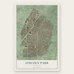
More maps nearby: Romulus, Riverview, Inkster, Melvindale and Wyandotte.
The art of mapping a place
How This Map Was Made
Real places. Remarkable detail. Discover the layers that turn geographic data into a map of home.

The view from above
Aerial imagery reveals the character of the land: woodland, open fields, and the patterns of a place.

The shape of the land
Elevation data brings hills, valleys, and subtle changes in the landscape into view.

The details of home
Roads, waterways, and building footprints come together to make the map feel unmistakably local.

Geography becomes art
Considered color, shading, and typography bring the layers together in a map made for your wall.


Process illustrated with Mendon, Massachusetts. Aerial imagery: USDA NAIP. Terrain: USGS 3D Elevation Program. Map details and finished artwork: KNOWOL.
The Details
About This Print
Choose an archival matte print, or a black or white Ayous wood frame. The archival matte print is unframed.
Select your size and finish above to see the matching product image and price.
Materials & Craftsmanship
A contemporary map with the character of a classic atlas, printed on archival matte paper. Optional frames are made from Ayous wood.
Your printed map does not include the watermark shown in the full-map preview.
Shipping & Delivery
Free shipping within the United States. Every print is made to order in the USA.
Buying a gift? Add a note in your cart and we'll include it. We never put prices in the package.
Prints ship within 2 to 3 business days. Allow 7 to 10 days total from ordering for delivery. Timing may vary during holidays or periods of high order volume.
Read our shipping policy.
Returns and damaged prints
Each print is made to order. Change-of-mind refunds are not available after production.
If your print arrives damaged, misprinted or incorrect, contact support@knowol.com within 30 days of receiving it. Include your order number, photos and a description of the issue.
Read our full refund and replacement policy. For questions about your order, email support@knowol.com.