
Search for another town
Free U.S. delivery 7 to 10 days after you order
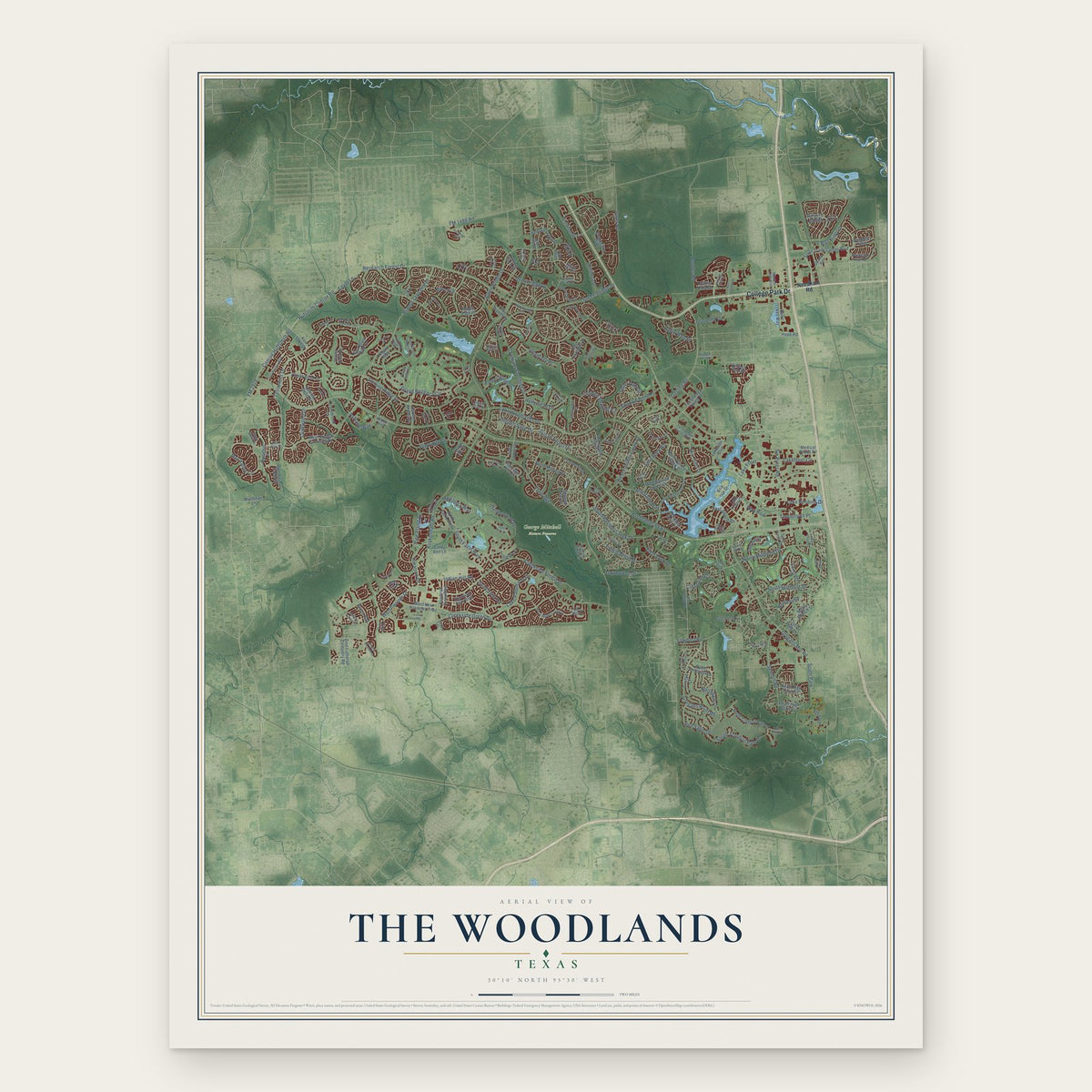
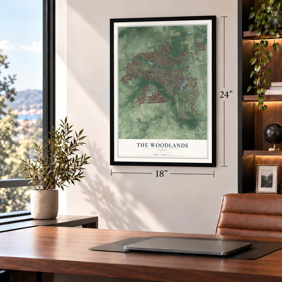
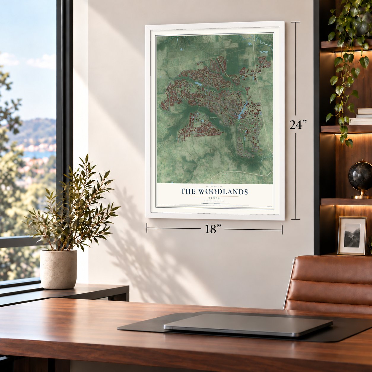
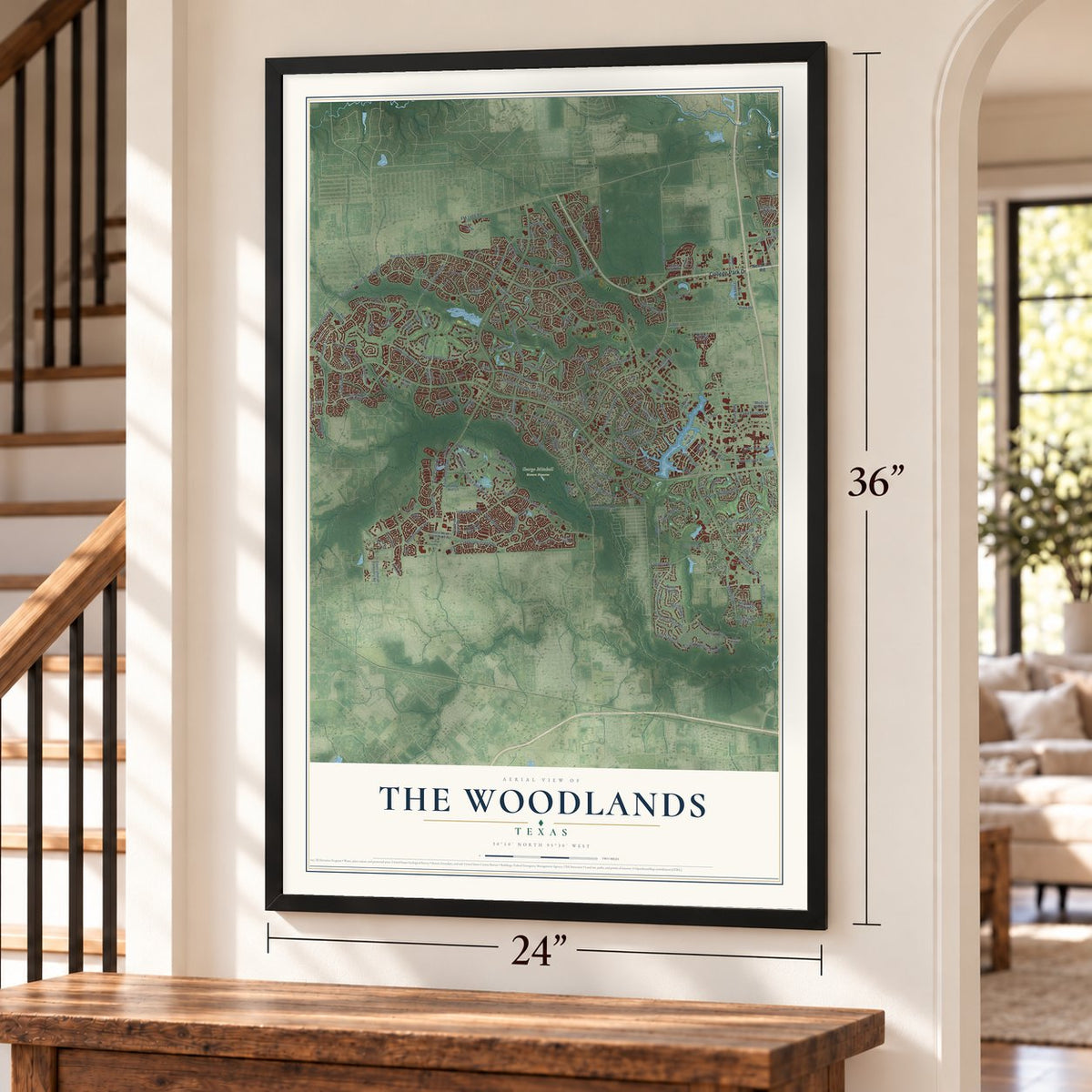
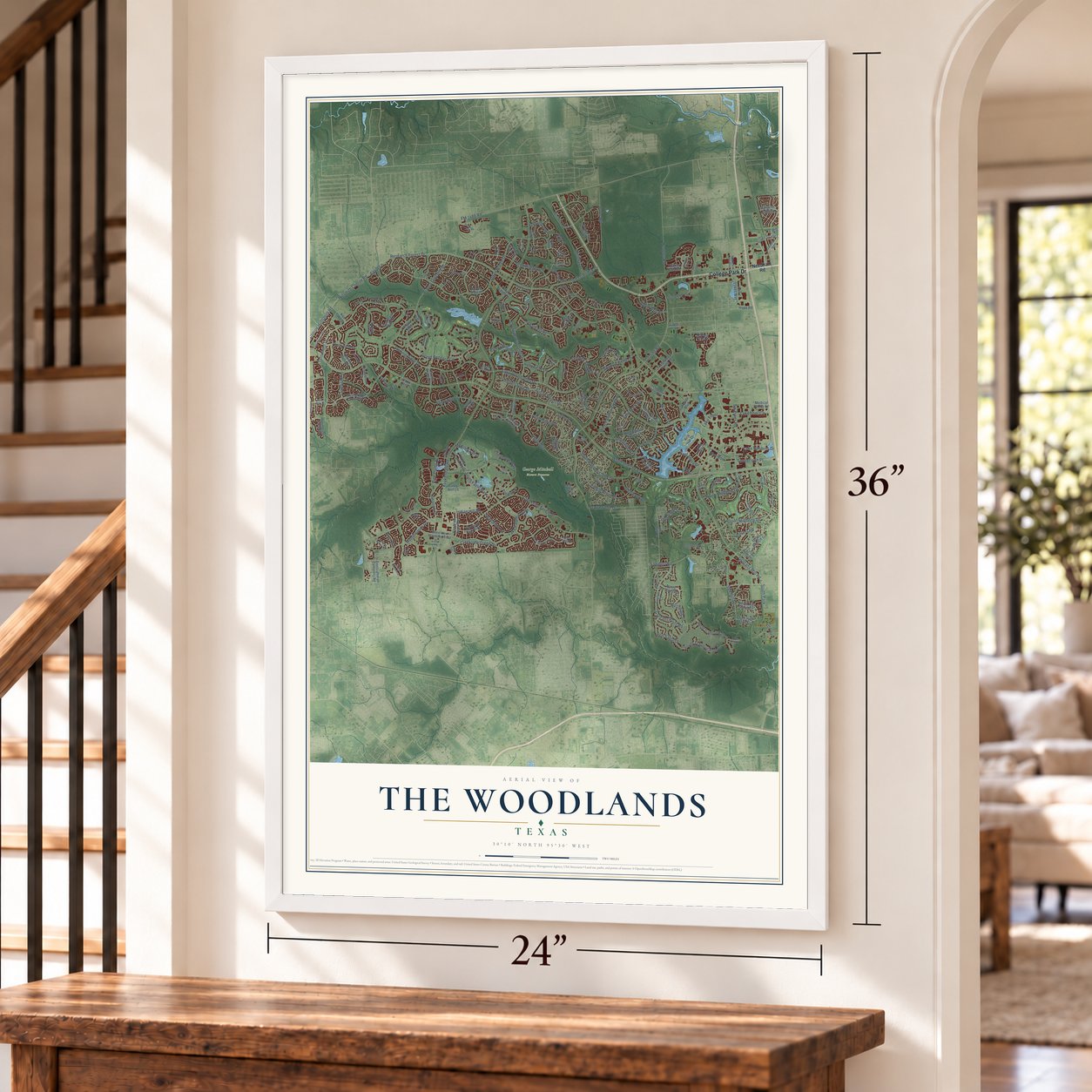
The Woodlands, Texas Map Art
Building by building, with labeled streets and shaded relief.
12" x 18" Archival Matte Print
A Map of Home. A Work of Art.
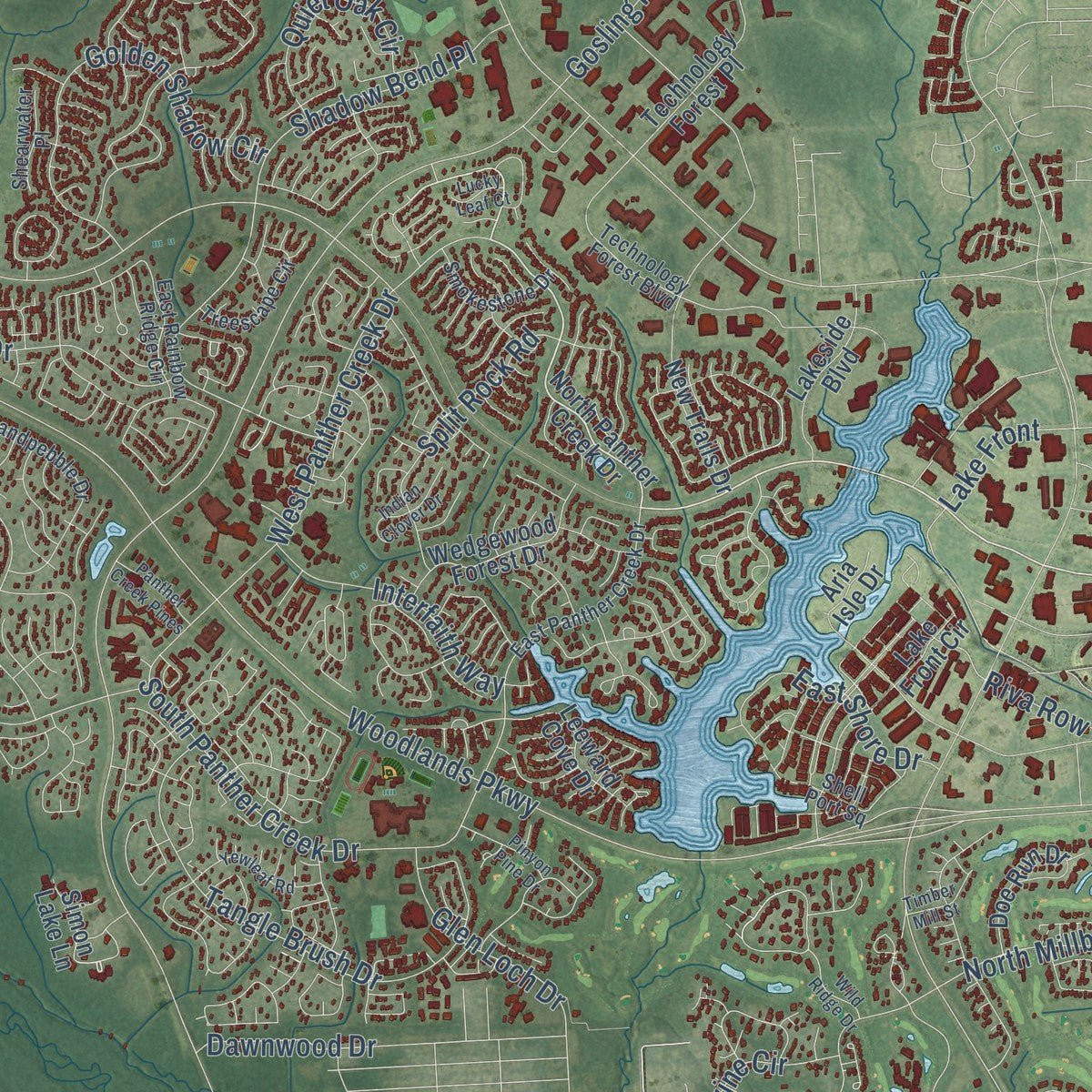
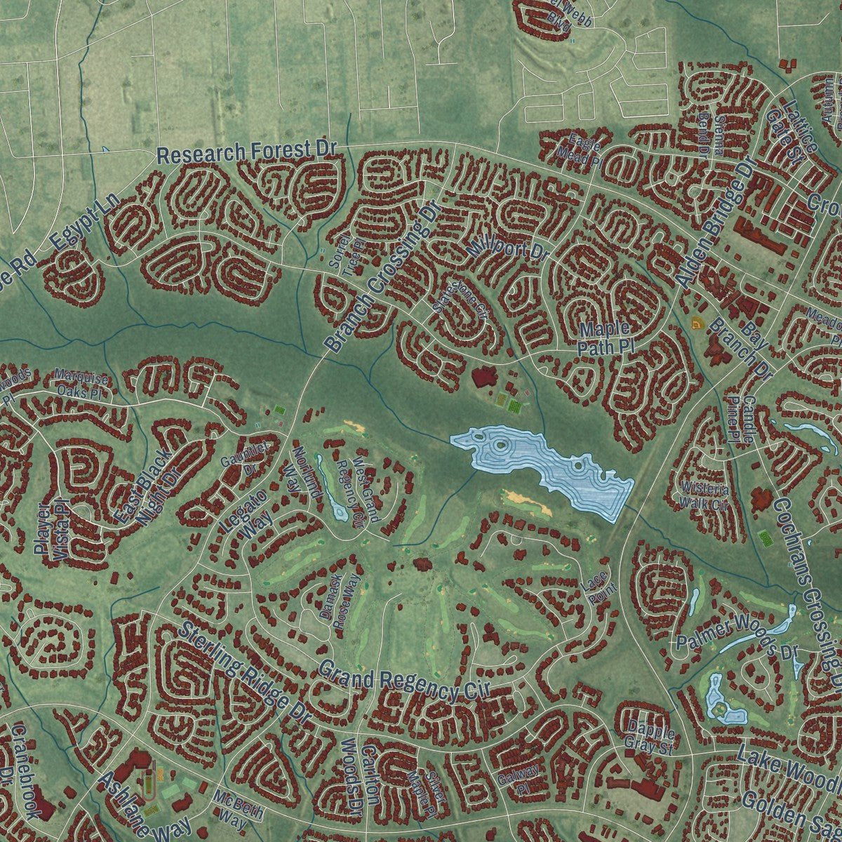
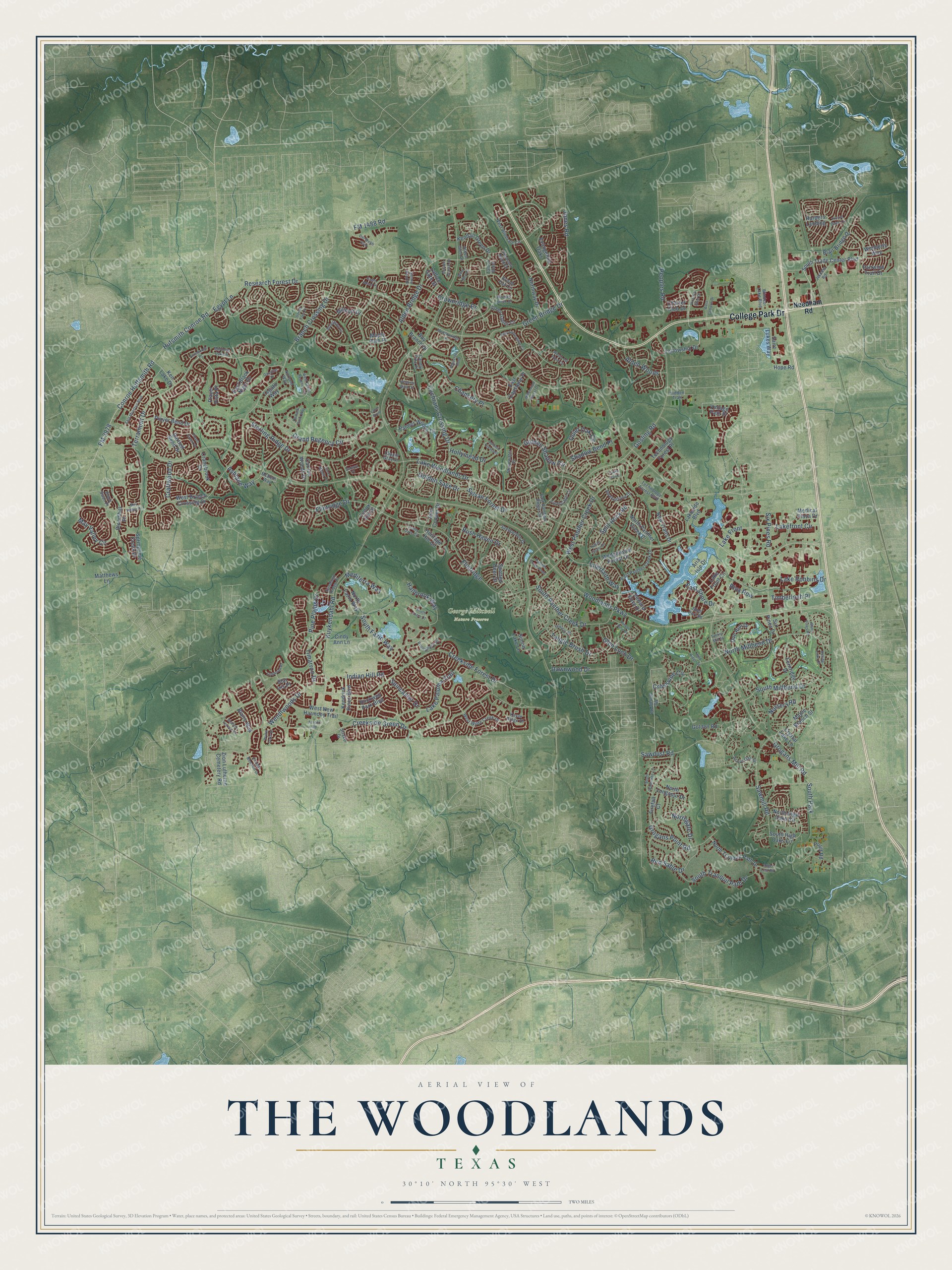
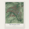
Explore The Woodlands, Texas from a whole new perspective. Created using aerial imagery and detailed geographic data, this map captures The Woodlands building by building, with labeled streets, familiar landmarks, and shaded topographical relief that highlights the natural contours of the landscape.
Combining modern data with the timeless character of a vintage atlas, this map is just as interesting up close as it is beautiful on the wall. Whether you grew up in The Woodlands, spent memorable years there, or call it home today, this unique map is a great way to celebrate a place that means something to you. Zoom in on the preview to look for your street, and then order a print to put your memories on the wall.
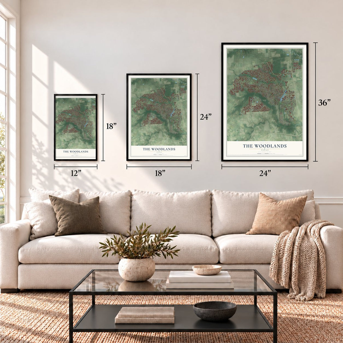
Three ways to hang it
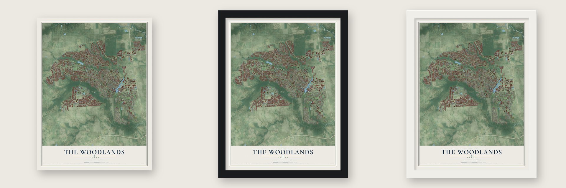
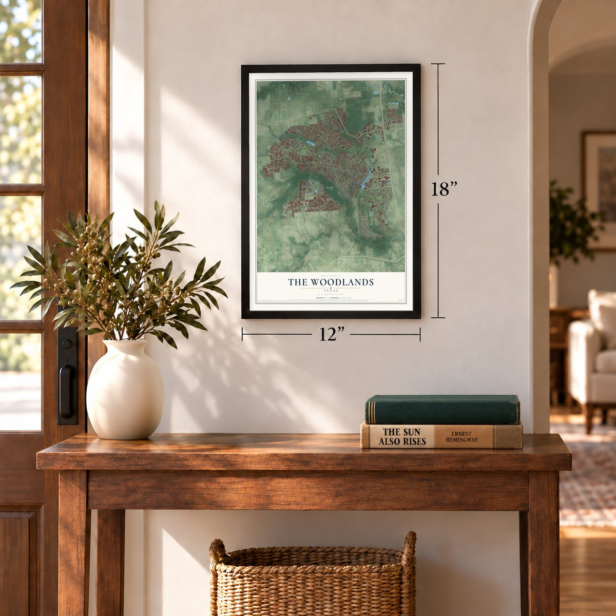
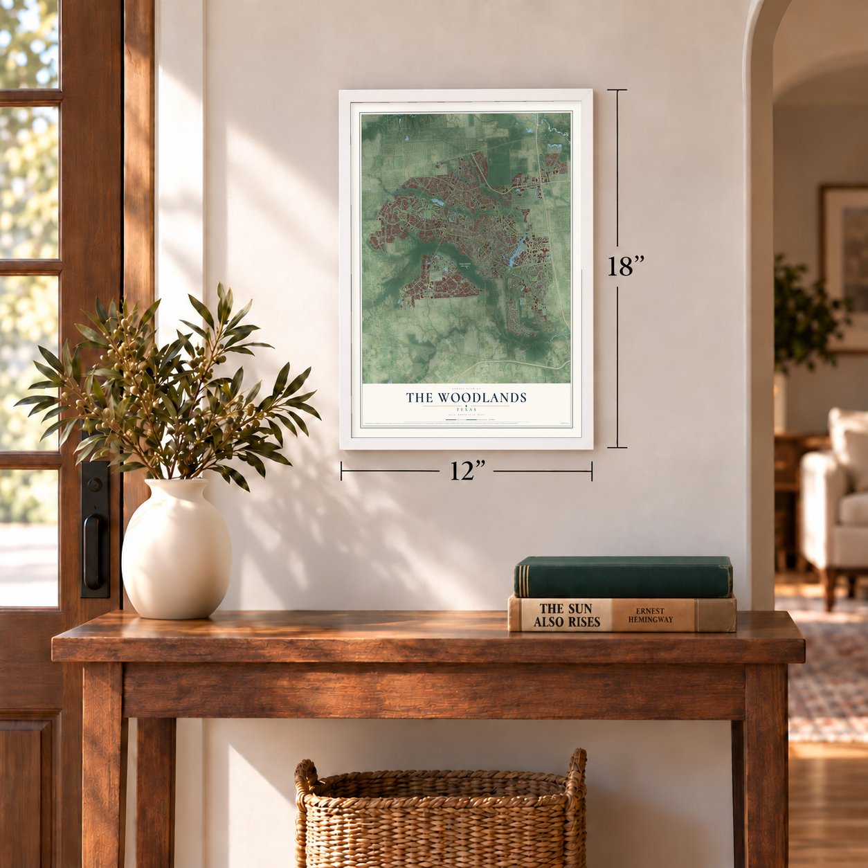
Unframed archival matte, a black wood frame or a white wood frame.
Up close
Geography Worth Displaying
This map was created using accurate cartographic data and authoritative geographic sources, including the U.S. Geological Survey and the Census Bureau. The map brings together terrain, waterways, roads, and building detail. The majority of the streets are labeled, houses are accurately depicted, and the topography is derived from government sources. Combining local data with carefully composed color and shading leads to this beautifully detailed The Woodlands artwork for your wall.
Rather than simply showing street outlines, we’ve included as many of the street names as we could reasonably fit on the map while keeping their names legible. Zoom in on the high resolution preview to see exactly what’s on the map. We truly set out to create a statement piece for anyone who loves The Woodlands. So whether it’s for you, or a gift for someone you love, we hope this map of The Woodlands brings back fond memories.
Read the story behind this map of The Woodlands, Texas from 2026.
Find your street
Names on the The Woodlands map
Every name below is printed on this map. Look for your street, your school, the park where you played, or the pond down the road.
Places and landmarks2
- George Mitchell Nature Preserve
- South Park
Streets and roads213
- College Park Drive
- Lake Woodlands Drive
- Terramont Drive
- Woodlands Parkway
- Kuykendahl Road
- Research Forest Drive
- Gosling Road
- Creekside Forest Drive
- Grogans Mill Road
- Alden Bridge Drive
- Cochrans Crossing Drive
- Branch Crossing Drive
- Creekside Green Drive
- Lake Robbins Drive
- North Millbend Drive
- Conroe Huffsmith Road
- FM 2978
- Hufsmith Conroe Road
- FM 1488 Road
- Crownridge Drive
- Grand Regency Circle
- South Millbend Drive
- Grogans Point Road
- Sterling Ridge Drive
- Sawdust Road
- Shadow Bend Place
- Flintridge Drive
- Flintridge
- Timberloch Place
- Six Pines Road
Show all 213 streets
- South Fazio Way
- Tangle Brush Drive
- South Panther Creek Drive
- Wendtwoods Drive
- May Valley Circle
- Split Rock Road
- West Panther Creek Drive
- Golden Shadow Circle
- Sawmill Road
- Mediterra Way
- Rush Haven Drive
- Red Sable Drive
- Lake Paloma Trail
- South Tranquil Path Drive
- Sylvan Forest Drive
- East Shore Drive
- Green Bridge Drive
- Golden Sage Drive
- Peoples Road
- Hollymead Drive
- Timarron Drive
- Lakefront Circle
- Nursery Road
- Jones Road
- Interfaith Way
- Indian Hill Road
- Hallbrook Way
- Quiet Oak Circle
- Chancery Place
- Glen Loch Drive
- Alden Woods
- Pine Plains Drive
- Crossvine Circle
- Ashlane Way
- Northgate Drive
- Egypt Lane
- Craftwood Drive
- Dawnwood Drive
- Riva Row
- Spincaster Drive
- Lake Front
- Needham Road
- South Trade Center Boulevard
- North Panther Creek Drive
- Fellowship Drive
- Wimberly Way
- East Black Night Drive
- Charter Club Drive
- New Trails Drive
- West New Harmony Trail
- Pruitt Road
- Carlton Woods Drive
- Player Bend Drive
- North Tranquil Path Drive
- Harpers Landing
- Saint Lukes Way
- Technology Forest Place
- Lake Front Circle
- Northway Drive
- North High Oaks Circle
- Fernridge Drive
- Springtime Creek Drive
- Palmer Woods Drive
- West Branch Crossing Drive
- Kendall Green Drive
- Wedgewood Forest Drive
- Zion Lutheran Cemetery Road
- Medical Plaza Drive
- Bloomhill Place
- Maple Branch Street
- Lakeside Boulevard
- Bay Branch Drive
- Rockwell Park Boulevard
- Evangeline Oaks
- Golden Road
- Cranebrook Drive
- Bartlett Bend Drive
- North Fazio Way
- Leeward Cove Drive
- Blair Bridge Drive
- Kendrick Pines Boulevard
- Crystal Lake Lane
- South High Oaks Circle
- Fairwind Trail Drive
- Doe Run Drive
- Blairs Way
- North Longspur Drive
- Ken Lake Drive
- East Capstone Place
- Matthews Lane
- Millport Drive
- Spotted Deer Drive
- Cindy Ann Lane
- Maple Path Place
- Aria Isle Drive
- Heritage Hill Circle
- Six Pines Drive
- Firefall Court
- Vintage Path Place
- John Cooper Drive
- Lattice Gate Street
- Legato Way
- Hope Road
- Player Vista Place
- Simon Lake Lane
- Lenox Hill Drive
- Star Iris Place
- East Panther Creek Drive
- Sandpebble Drive
- Bristol Oak Circle
- Technology Forest Boulevard
- Acorn Oak Street
- Mc Donald Road
- West Wilde Creek Drive
- Green Gables Circle
- West Windvale Circle
- Treescape Circle
- Smokestone Drive
- East Rainbow Ridge Circle
- Pleasant Bend Drive
- Black Swan Place
- Shell Port Square
- Pronghorn Place
- Jetoma Road
- Windsor Lake Boulevard
- Sundown Ridge Place
- Alden Glen Drive
- Shearwater Place
- Candle Pine Place
- McBeth Way
- Norlund Way
- Kayak Ridge Drive
- Hidden Trail
- Talbot Bend
- Dapple Gray Street
- Strake Drive
- East Montfair Boulevard
- West Grand Regency Circle
- Wisteria Walk Circle
- Slatestone Circle
- Yewleaf Road
- Prairie Dawn Circle
- East Amberglow Circle
- May Valley Drive
- Autumn Crescent
- West Lost Pond Circle
- Waterford Bend
- Autumn Branch Drive
- South Watertree Lane
- Del Webb Boulevard
- Gildwood Place
- Indian Clover Drive
- Welston Terrace Drive
- Trinity Oaks Circle
- Meadowridge Place
- Marquise Oaks Place
- Wyatt Oaks Drive
- Pinyon Pine Drive
- Acrewoods Place
- Panther Creek Pines
- West Campus Drive
- Millennium Forest Drive
- Wild Ridge Drive
- Elander Blossom Drive
- Gauntlet Drive
- Eagle Mead Place
- Timber Mill Street
- Angel Leaf Road
- Wooded Brook Drive
- Damask Rose Way
- Sienna Bend Drive
- Player Green Place
- Rolling Links Court
- Silver Maple Place
- Many Pines Road
- South Fazio Court
- Victoria Glen Drive
- Wind Harp Place
- Lace Point
- Lucky Leaf Court
- Galway Place
- Sorrel Tree Place
- Azrock Road
Names are listed as they appear on the printed map. Zoom into the product photos to find them.
About The Woodlands, Texas
The Woodlands is a planned community of 114,436 people, mostly in Montgomery County with a small part in Harris County, 28 miles north of Houston on Interstate 45. Long before it was built, the Akokisa and Bidai peoples lived here and drew their water from Spring Creek. In 1984, builders working in the Indian Springs neighborhood near the creek dug up Bidai artifacts.
Oil investor George P. Mitchell got the idea after attending a symposium on building new towns under the federal HUD Title VII program. In 1972 his Mitchell Energy and Development Corporation started work on 23,000 acres to meet Houston's growth, and the first homes went on sale in 1974. Local sources doubted the plan would survive, but by 1980 it had grown to 11,197 people, with a public library, five churches, six schools and six parks.
“entice city slickers looking for far-flung suburban quality of life.”
- Villages named for a lumber millThe land was once home to the Grogan-Cochran Lumber Mill, and two of the community's neighborhoods, which it calls villages, still carry its names: Grogan's Mill and Cochran's Crossing. The original plan followed the environmental ideas of landscape architect Ian McHarg, author of Design With Nature.
- A township, not a cityMitchell first expected Houston to annex The Woodlands, but in the mid-2000s residents organized against it. The 73rd Texas Legislature had created The Woodlands Township, a special-purpose district, in 1993, and residents elect its seven-member board. After years of talk about becoming a city, voters turned down incorporation by a wide margin on November 2, 2021.
- Tallest tower in the countyOn February 11, 1999, Anadarko Petroleum announced it would buy a 7.5-acre tract to build a 32-story headquarters. That building became Allison Tower. No building in Montgomery County stands taller, and no structure between Houston and Dallas does either.
- Art on the Waterway each AprilThe Woodlands Waterway Arts Festival brings 220 international juried artists every April. The Cynthia Woods Mitchell Pavilion hosts free Houston Symphony concerts, and the community won a Special Award for Excellence from the Urban Land Institute in 1994.
Keep exploring Texas
The Woodlands is one of 2,049 Texas towns we've mapped. Every dot on the map is a print of its own.
The search covers every state, Texas first.
Near The Woodlands
Order 2 or more town maps and save 10%. Shown in the size and finish you picked above, so they hang as a set.
- Grogan's Mill 12" x 18" / Archival Matte Print $39.99
- Shenandoah 12" x 18" / Archival Matte Print $39.99
- Oak Ridge North 12" x 18" / Archival Matte Print $39.99
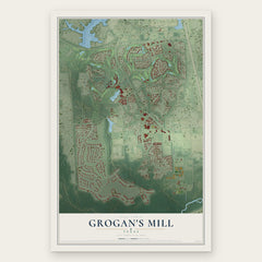
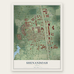
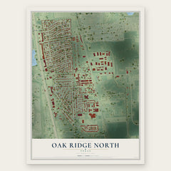
More maps nearby: Woodloch, Tomball, Klein, Decker Prairie and Spring.
The art of mapping a place
How This Map Was Made
Real places. Remarkable detail. Discover the layers that turn geographic data into a map of home.

The view from above
Aerial imagery reveals the character of the land: woodland, open fields, and the patterns of a place.

The shape of the land
Elevation data brings hills, valleys, and subtle changes in the landscape into view.

The details of home
Roads, waterways, and building footprints come together to make the map feel unmistakably local.

Geography becomes art
Considered color, shading, and typography bring the layers together in a map made for your wall.


Process illustrated with Mendon, Massachusetts. Aerial imagery: USDA NAIP. Terrain: USGS 3D Elevation Program. Map details and finished artwork: KNOWOL.
The Details
About This Print
Choose an archival matte print, or a black or white Ayous wood frame. The archival matte print is unframed.
Select your size and finish above to see the matching product image and price.
Materials & Craftsmanship
A contemporary map with the character of a classic atlas, printed on archival matte paper. Optional frames are made from Ayous wood.
Your printed map does not include the watermark shown in the full-map preview.
Shipping & Delivery
Free shipping within the United States. Every print is made to order in the USA.
Buying a gift? Add a note in your cart and we'll include it. We never put prices in the package.
Prints ship within 2 to 3 business days. Allow 7 to 10 days total from ordering for delivery. Timing may vary during holidays or periods of high order volume.
Read our shipping policy.
Returns and damaged prints
Each print is made to order. Change-of-mind refunds are not available after production.
If your print arrives damaged, misprinted or incorrect, contact support@knowol.com within 30 days of receiving it. Include your order number, photos and a description of the issue.
Read our full refund and replacement policy. For questions about your order, email support@knowol.com.