
Search for another town



Free U.S. delivery 7 to 10 days after you order
Thomasville, Georgia Map Art
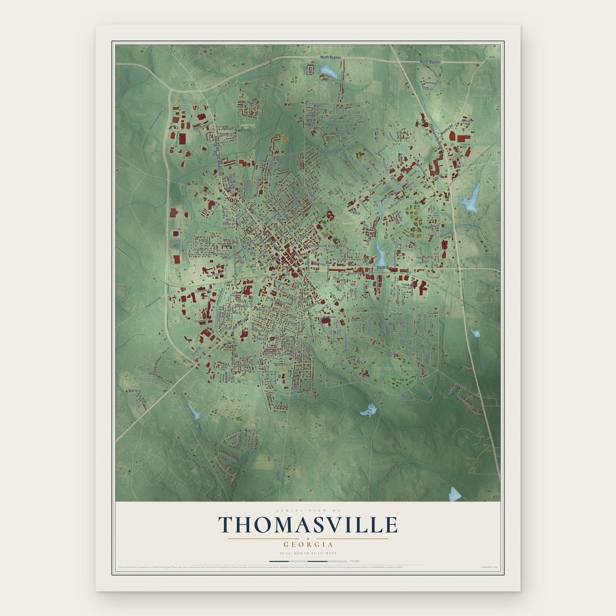
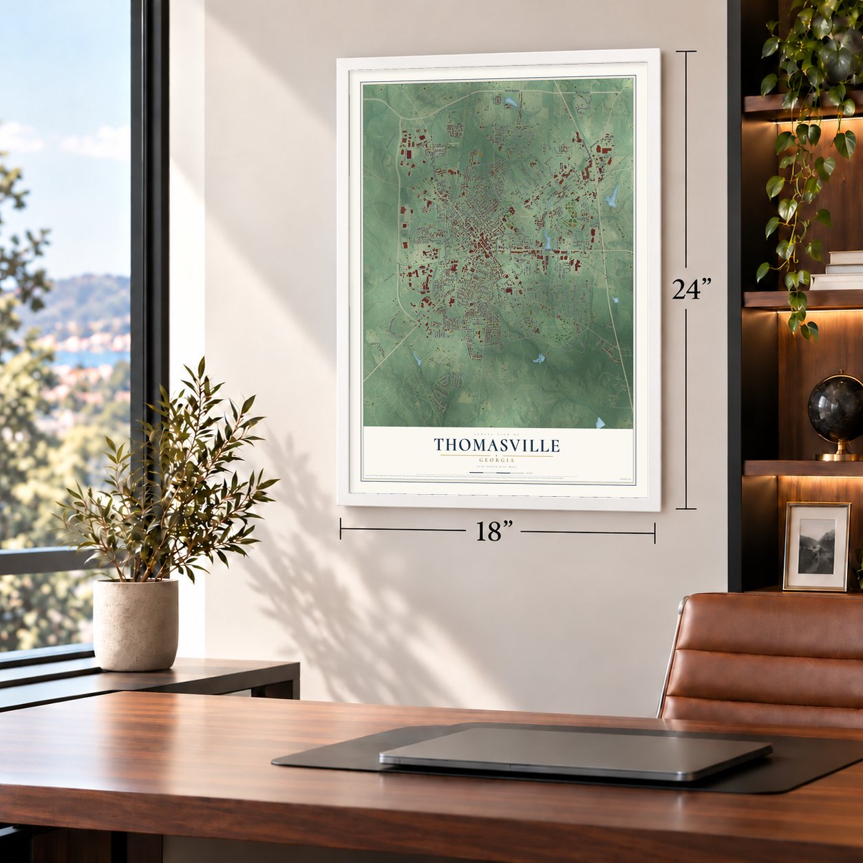
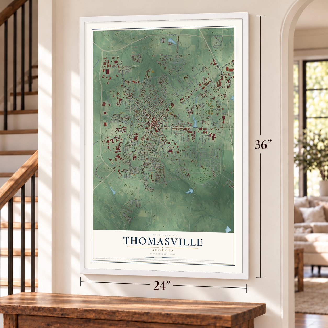
A new map of Thomasville, Georgia, made in 2026 and printed to order on thick archival matte paper.
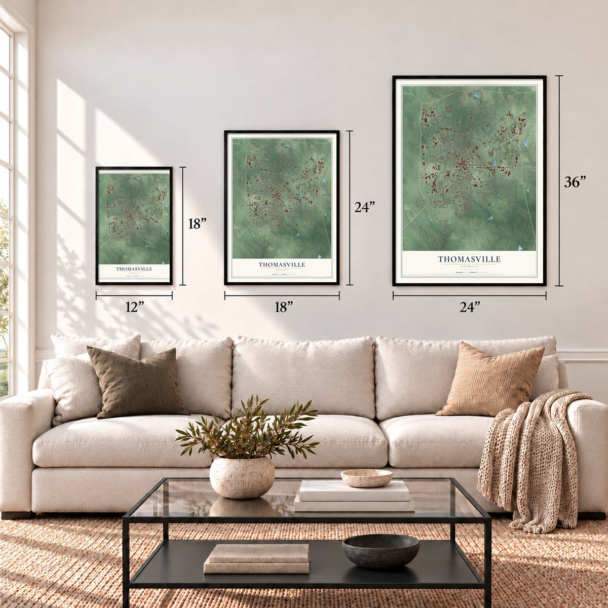
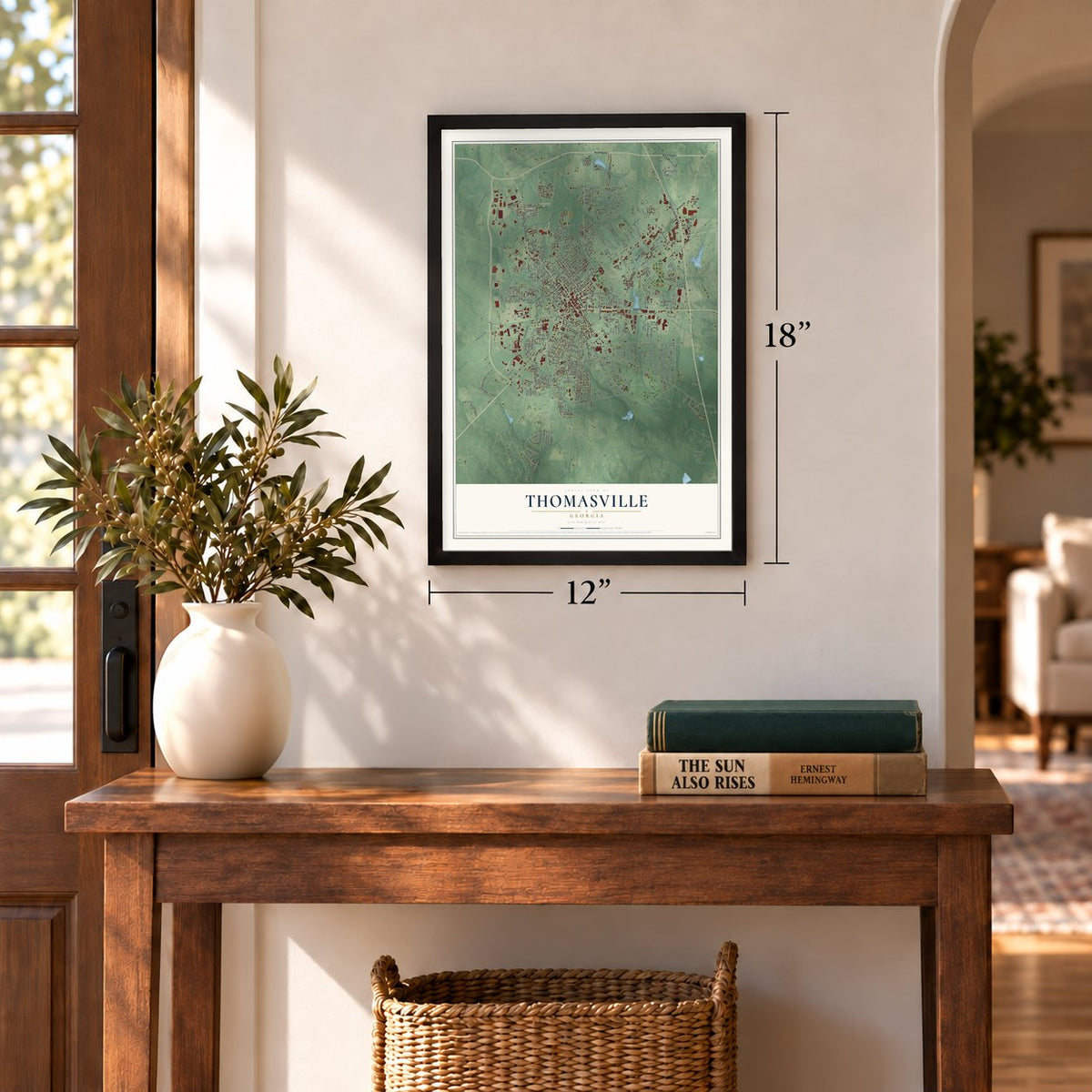
12" x 18" Archival Matte Print
A Map of Home. A Work of Art.
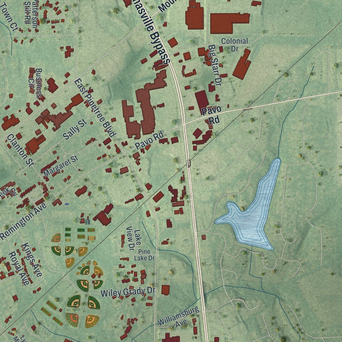
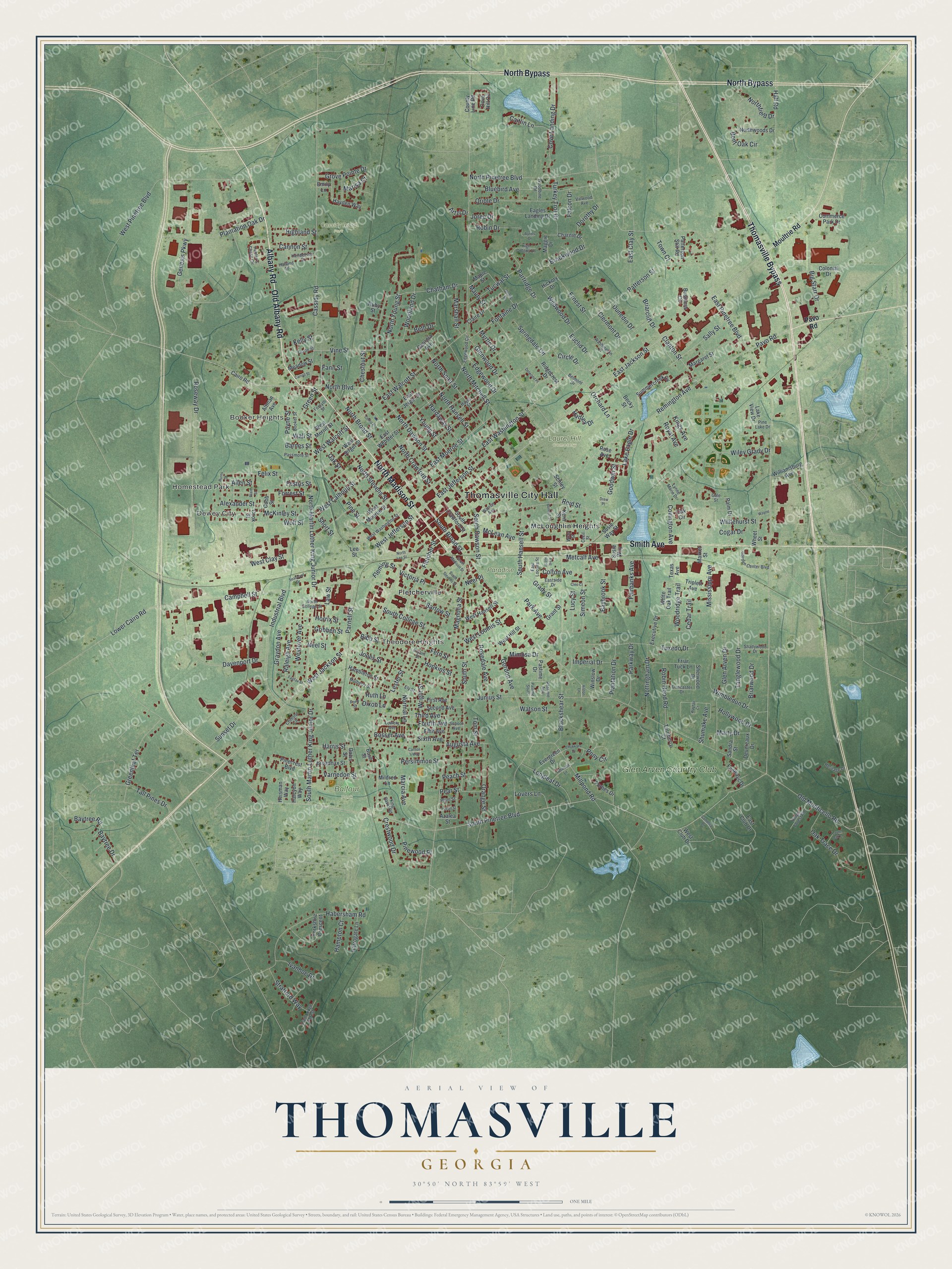
Explore Thomasville, Georgia from a whole new perspective. Created using aerial imagery and detailed geographic data, this map captures Thomasville building by building, with labeled streets, familiar landmarks, and shaded topographical relief that highlights the natural contours of the landscape.
Combining modern data with the timeless character of a vintage atlas, this map is just as interesting up close as it is beautiful on the wall. Whether you grew up in Thomasville, spent memorable years there, or call it home today, this unique map is a great way to celebrate a place that means something to you. Zoom in on the preview to look for your street, and then order a print to put your memories on the wall.
Three ways to hang it
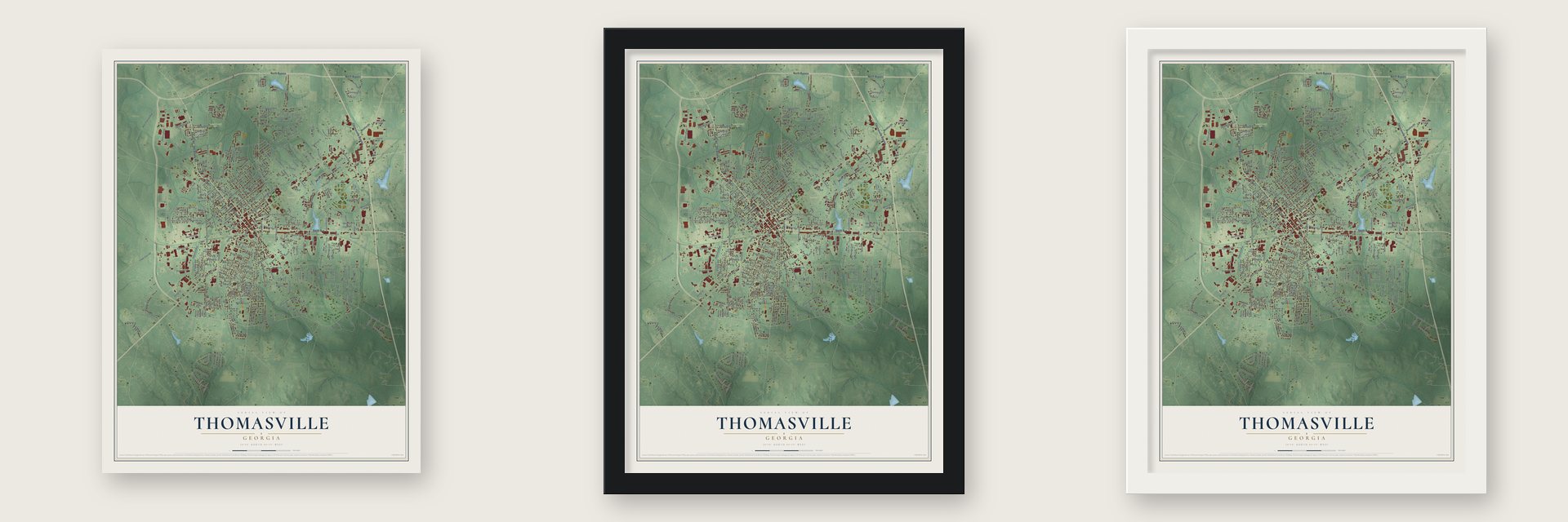
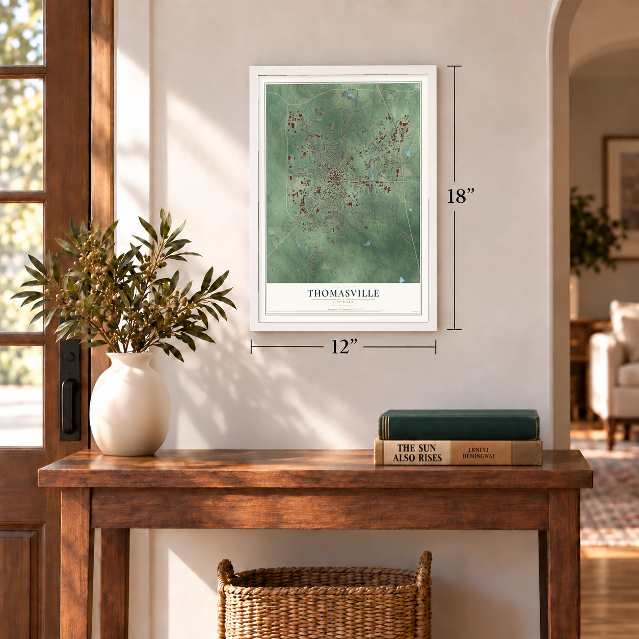
Unframed archival matte, a black wood frame or a white wood frame.
Up close
Geography Worth Displaying
This map was created using accurate cartographic data and authoritative geographic sources, including the U.S. Geological Survey (USGS) and FEMA. The map brings together terrain, waterways, roads, and building detail. The majority of the streets are labeled, houses are accurately depicted, and the topography is derived from government sources. Combining local data with carefully composed color and shading leads to this beautifully detailed Thomasville artwork for your wall.
Rather than simply showing street outlines, we’ve included as many of the street names as we could reasonably fit on the map while keeping their names legible. Zoom in on the high resolution preview to see exactly what’s on the map. We truly set out to create a statement piece for anyone who loves Thomasville. So whether it’s for you, or a gift for someone you love, we hope this map of Thomasville brings back fond memories.
Explore the full map of Thomasville, Georgia and read about the local places it shows.
Find your street
Names on the Thomasville map
Every name below is printed on this map. Look for your street, your school, the park where you played, or the pond down the road.
Places and landmarks12
- Thomasville City Hall
- Homestead Park
- Dewey City
- Theodore Heights
- Booker Heights
- Balfour Park
- Cassidy Road Park
- Laurel Hill Cemetery
- Paradise Park
- Fletcherville
- McLoughlin Heights
- Glen Arven Country Club
Streets and roads349
- Old Albany Road
- Albany Road
- North Madison Street
- North Bypass
- Smith Avenue
- Thomasville Bypass
- North Boulevard
- East Jackson Street
- West Jackson Street
- South Pinetree Boulevard
- East Pinetree Boulevard
- North Martin Luther King Junior Drive
- East Washington Street
- Campbell Street
- West Jefferson Street
- Bartow Street
- Partridge Drive
- North Pinetree Boulevard
- South Broad Street
- North Broad Street
- Remington Avenue
- Young Street
- Lester Street
- South Hansell Street
- Fleming Street
- East Jefferson Street
- West Loomis Street
- West Pinetree Boulevard
- East Clay Street
- Old Monticello Road
Show all 349 streets
- West Clay Street
- Gordon Avenue
- Fletcher Street
- Glenwood Drive
- Cassidy Road
- Metcalf Avenue
- South Street
- North Dawson Street
- Genesis Parkway
- Magnolia Street
- Wright Street
- North Young Street
- North Stevens Street
- Blackshear Street
- Tuxedo Drive
- Roseway Drive
- Junius Street
- Millpond Road
- North Mitchell Street
- North Crawford Street
- East Walcott Street
- Oak Street
- Bluebird Avenue
- Habersham Road
- Davenport Drive
- Covington Avenue
- North Hansell Street
- Industrial Boulevard
- Glen Arven Drive
- South Martin Luther King Junior Drive
- Jones Street
- Myrtle Drive
- Augusta Avenue
- North Spair Street
- Persimmon Street
- East Monroe Street
- Plantation Oak Drive
- Westover Avenue
- Wimbledon Drive
- Cove Landing Drive
- Grady Street
- Victoria Place
- Wolf Street
- Parnell Street
- Alexander Street
- Rosedale Avenue
- West Calhoun Street
- Hardaway Street
- Patterson Street
- Park Avenue
- Oak Trace Drive
- Woodland Drive
- Pavo Road
- McKinley Street
- Forrest Street
- South College Street
- Felix Street
- Oriole Drive
- Sunset Drive
- Simeon Street
- Clermont Drive
- Shumake Avenue
- Colton Avenue
- Chatham Drive
- Big Starr Drive
- Raleigh Avenue
- Mimosa Drive
- Orange Street
- Fontaine Drive
- Crestwood Drive
- Greenleaf Terrace
- Brookwood Drive
- Law Street
- South Dawson Street
- Sally Street
- Pine Street
- Baytree Drive
- Fern Street
- Vine Street
- Lower Cairo Road
- Nottingham Drive
- Tanglewood Drive
- Wiley Grady Drive
- Maury Street
- Ernest Street
- Varnedoe Street
- Graydon Avenue
- Neel Street
- Gribben Street
- Northfield Drive
- Hopkins Street
- Third Avenue
- Longleaf Drive
- Harris Street
- Robin Hood Road
- Parkway Drive
- Tucwal Street
- Briarcliff Drive
- Euclid Drive
- Reid Street
- Robin Drive
- Whitehurst Street
- Tall Pines Drive
- Horrix Street
- Allen Street
- Festus Street
- Turkey Trot Drive
- Hollywood Drive
- Baybrook Street
- Clanton Street
- Stratford Way
- Edgewood Drive
- Pinewood Place
- Plantation Drive
- Wildwood Drive
- Orchard Lane
- Grove Pointe Drive
- Marshall Street
- Normal Lane
- Mississippi Avenue
- Royal Avenue
- Baytree Road
- Highland Street
- Lake Eagle Drive
- Woodridge Trail
- Cannon Street
- Pony Circle
- Kings Avenue
- West Walcott Street
- Caitlin Lane
- Springdale Circle
- Cedar Trail
- Pear Street
- Fairbanks Avenue
- Briarwood Drive
- Bent Oak Circle
- Ivanhoe Drive
- McLean Avenue
- Payne Street
- Lovers Lane
- Fourth Avenue
- Peach Street
- Imperial Drive
- Hampton Court
- Watson Street
- Lucy Street
- Sixth Avenue
- Ruth Lane
- Dorothy Drive
- Goodwin Street
- Chestnut Street
- Dunedin Drive
- Cogar Drive
- Dixon Lane
- Circle Drive
- Marty Drive
- Green Street
- Hadley Drive
- Bibb Street
- Hall Road
- Bosser Avenue
- Town Court
- Beth Drive
- Marcia Avenue
- Short Street
- Wall Street
- Falcon Drive
- Barnes Street
- Marisa Court
- Tom Street
- Joree Drive
- Kelly Street
- Artzi Drive
- Fann Street
- Neel Place
- Moultrie Road
- Cairo Road
- West Hansell Street
- Charnie Drive
- Sherwood Drive
- East Webster Street
- Summercreek Cv
- East Jerger Street
- Colonial Drive
- West Monroe Street
- Forbes Drive
- Broadnax Street
- Second Avenue
- Yorkshire Crescent
- Wheet Street
- Margaret Street
- Dove Hill Circle
- Lake View Drive
- East Club Drive
- Devereaux Drive
- Hayden Way
- County Line Road
- Eagles Landing Drive
- Turnberry Court
- Friar Tuck Lane
- Palm Drive
- Claire Drive
- West Jerger Street
- West Merrill Street
- Grant Street
- Altman Avenue
- First Avenue
- Triplett Avenue
- Northwoods Drive
- Kern Street
- Fifth Avenue
- Hambleton Street
- South Crawford Street
- Ridgecrest Drive
- Executive Drive
- Pinecrest Boulevard
- Schley Street
- Harrogate Lane
- Maggie Drive
- Commerce Park Drive
- Williamsburg Avenue
- White Oak Trail
- Patterson Still Road
- Evergreen Drive
- Business Circle
- West Hill Street
- Winslow Drive
- Cobb Street
- Oak Circle
- Fairways Drive
- Susie Way Street
- Georgia Avenue
- Davis Street
- Meadow Street
- Heisman Way
- Pastime Drive
- Mildred Lane
- Halcyon Way
- Lee Street
- West Club Drive
- Sandra Street
- Maple Street
- Texas Avenue
- Azalea Street
- Hickory Drive
- Market Street
- Cook Street
- Bush Street
- Ruby Street
- Becky Street
- Emily Lane
- Susie Way
- Rose Avenue
- Belmont Drive
- West Washington Street
- Ford Street
- North College Street
- Hunter's Chase Circle
- East Loomis Street
- Crimson Circle
- Edgewood Circle
- Hayes Street
- Warren Avenue
- High Colony Lane
- Garden Center Boulevard
- Cecil Street
- Kings Forest Road
- Doncaster Drive
- Forsyth Street
- Shadywood Drive
- Lynne Marie Drive
- Mulberry Street
- Cambridge Forest
- Holland Street
- Pine Lake Drive
- Passmore Street
- Eastside Drive
- Lowery Avenue
- Ely Street
- Washington Place
- King David Road
- Henderson Street
- Valwood Avenue
- Booker Street
- Heritage Drive
- Woodbine Road
- Dixon Street
- Bryant Street
- Plum Street
- School Avenue
- Wray Street
- Pastime Avenue
- Gale Street
- South Madison Street
- East Hill Street
- North Lee Street
- Strong Street
- Chukkars Drive
- South Stevens Street
- Bennett Street
- Fairfax Street
- Burns Street
- Plain Street
- Wayfair Court
- Riftwood Lane
- Seaboard Drive
- Laurel Oak Lane
- Delwood Place
- Pecan Street
- Carroll Street
- Camellia Drive
- Como Place
- Pastime South
- Carlton 's Way
- Cleo Court
- Wayne
- Ayries Drive
- Alston Lane
- Drew Place
Names are listed as they appear on the printed map. Zoom into the product photos to find them.
The art of mapping a place
How This Map Was Made
Real places. Remarkable detail. Discover the layers that turn geographic data into a map of home.

The view from above
Aerial imagery reveals the character of the land: woodland, open fields, and the patterns of a place.

The shape of the land
Elevation data brings hills, valleys, and subtle changes in the landscape into view.

The details of home
Roads, waterways, and building footprints come together to make the map feel unmistakably local.

Geography becomes art
Considered color, shading, and typography bring the layers together in a map made for your wall.


Process illustrated with Mendon, Massachusetts. Aerial imagery: USDA NAIP. Terrain: USGS 3D Elevation Program. Map details and finished artwork: KNOWOL.
The Details
About This Print
Choose an archival matte print, or a black or white Ayous wood frame. The archival matte print is unframed.
Select your size and finish above to see the matching product image and price.
Materials & Craftsmanship
A contemporary map with the character of a classic atlas, printed on archival matte paper. Optional frames are made from Ayous wood.
Your printed map does not include the watermark shown in the full-map preview.
Shipping & Delivery
Free shipping within the United States. Every print is made to order in the USA.
Buying a gift? Add a note in your cart and we'll include it. We never put prices in the package.
Prints ship within 2 to 3 business days. Allow 7 to 10 days total from ordering for delivery. Timing may vary during holidays or periods of high order volume.
Read our shipping policy.
Returns and damaged prints
Each print is made to order. Change-of-mind refunds are not available after production.
If your print arrives damaged, misprinted or incorrect, contact support@knowol.com within 30 days of receiving it. Include your order number, photos and a description of the issue.
Read our full refund and replacement policy. For questions about your order, email support@knowol.com.
Find your town
Looking for another city?
Find a map of home in our Georgia collection, or any town in the country.
Nearby
Maps of towns near Thomasville
Know someone from one of these towns? Their map makes a great gift.
 Ochlocknee
, Georgia
From $39.99See the map
 Boston
, Georgia
From $39.99See the map
 Coolidge
, Georgia
From $39.99See the map