
Search for another town




Free U.S. delivery 7 to 10 days after you order
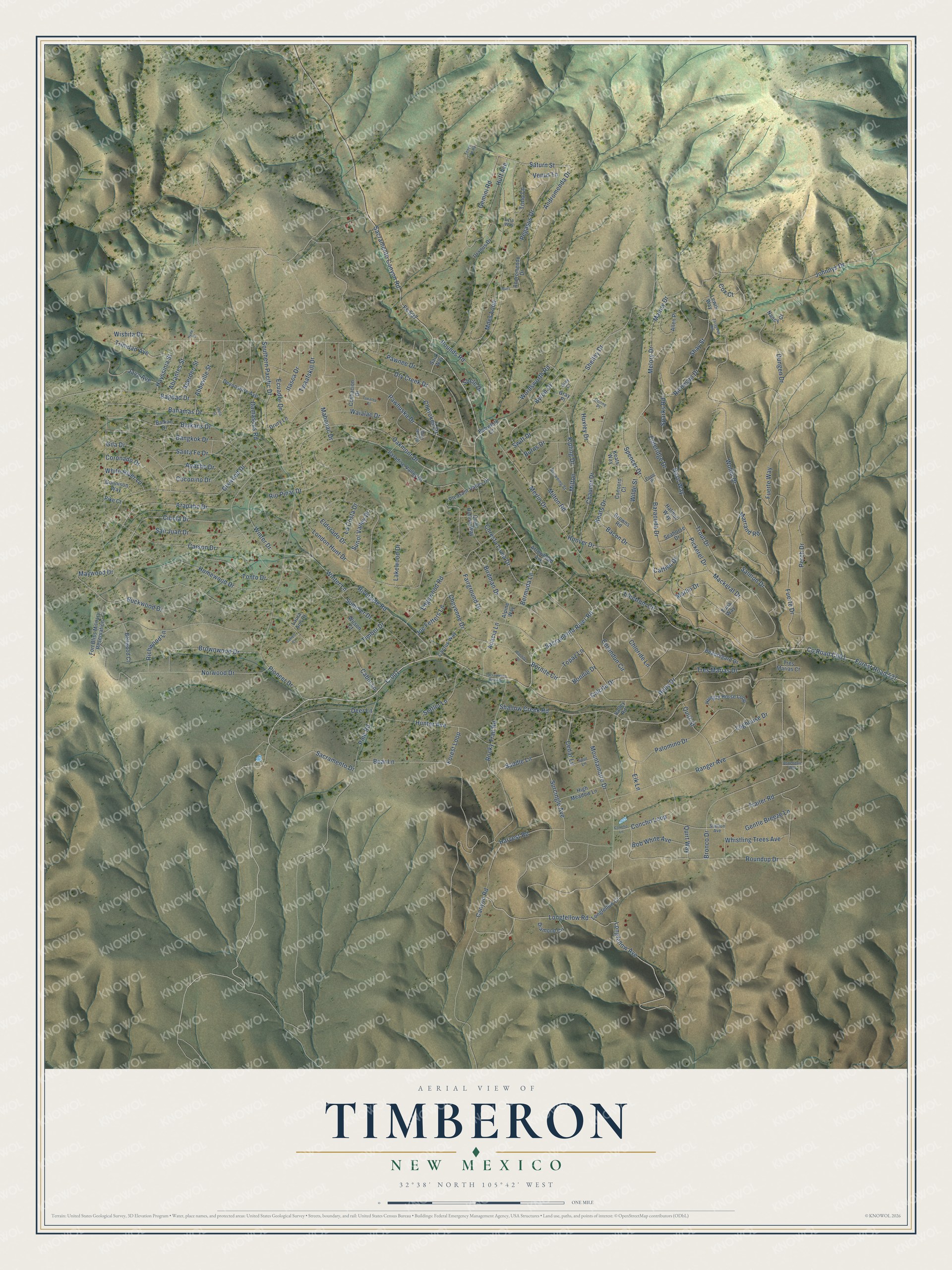
Timberon, New Mexico Map Art
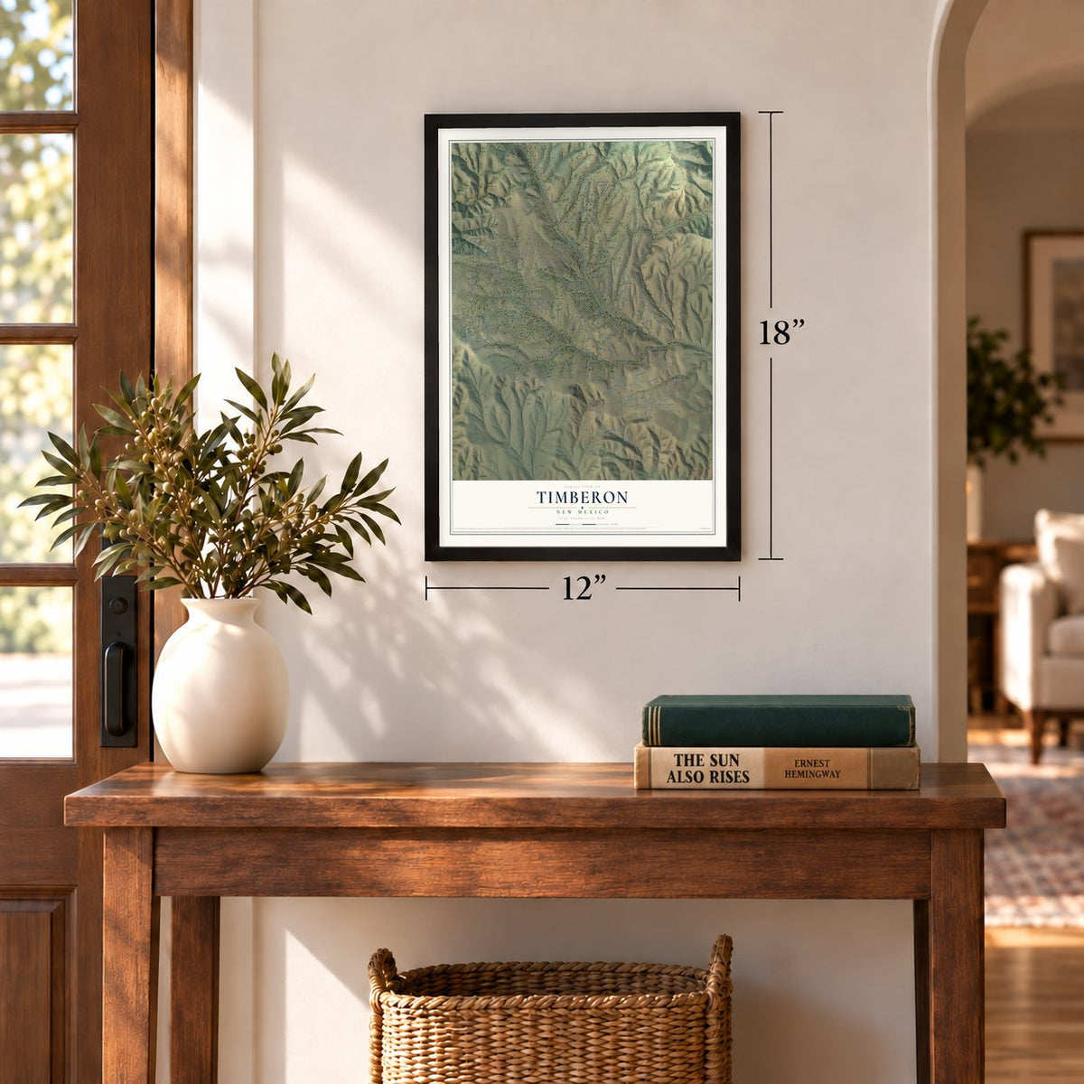
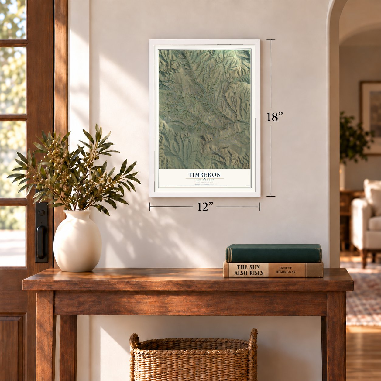
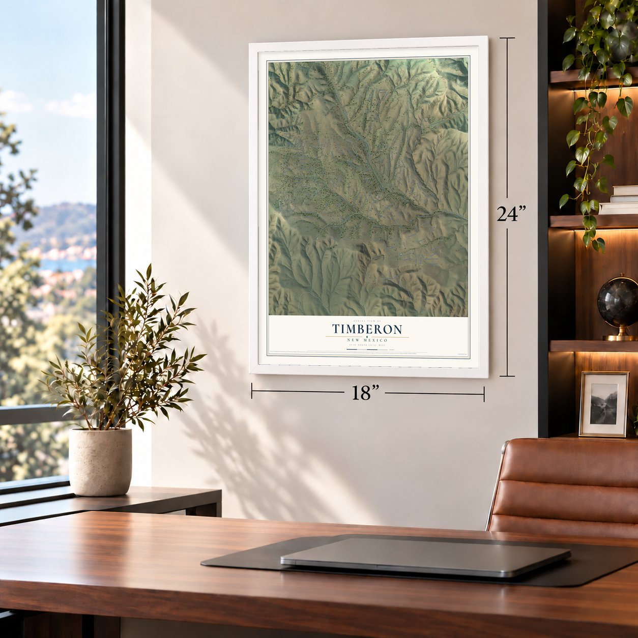
A new map of Timberon, New Mexico, made in 2026 and printed to order on thick archival matte paper.
12" x 18" Archival Matte Print
A Map of Home. A Work of Art.
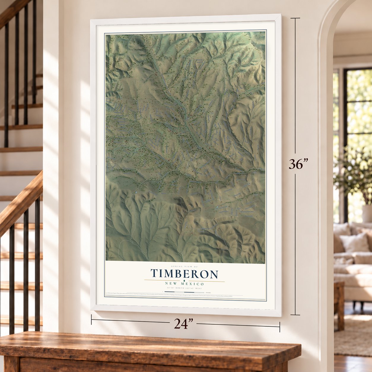
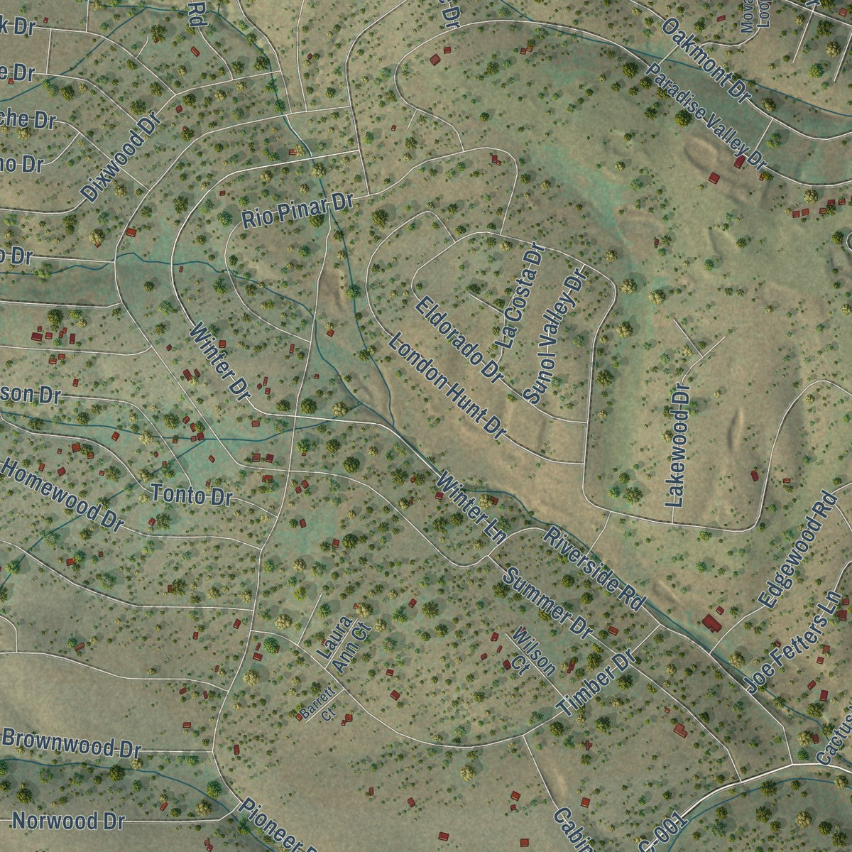
This beautifully detailed map of Timberon, New Mexico was created in 2026 using aerial imagery combined with modern topographical, census, street and landmark data. It's a modern aerial view of Timberon in Otero County, New Mexico, that combines modern data with a vintage aesthetic. Zoom in on the preview and look for your block.
Three ways to hang it
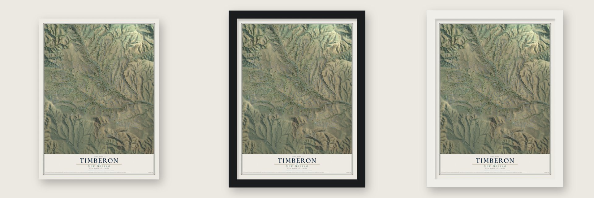
Unframed archival matte, a black wood frame or a white wood frame.
Up close
Real geography. Art worth displaying.
This map was created using accurate cartographic data and authoritative geographic sources, including the U.S. Geological Survey and the Census Bureau. The map brings together terrain, waterways, roads, and building detail. The majority of the streets are labeled, houses are accurately depicted, and the topography is derived from government sources. Combining local data with carefully composed color and shading leads to this beautifully detailed Timberon artwork for your wall.
Rather than simply showing street outlines, we’ve included as many of the street names as we could reasonably fit on the map while keeping their names legible. Zoom in on the high resolution preview to see exactly what’s on the map. We truly set out to create a statement piece for anyone who loves Timberon. So whether it’s for you, or a gift for someone you love, we hope this map of Timberon brings back fond memories.
Read the story behind this map of Timberon, New Mexico from 2026.

Find your street
Names on the Timberon map
Every name below is printed on this map. Look for your street, your school, the park where you played, or the pond down the road.
Streets and roads210
- C-001
- Sacramento Drive
- Pounds Road
- Sacramento River Road
- Fs 537
- Hoover Drive
- Shelley Drive
- Canyon Road
- Forest Road 537
- Andromenda Drive
- Bonnie Drive
- Trout Drive
- Saturn Street
- Melory Drive
- Longfellow Avenue
- Merlin Drive
- Trailer Road
- Malory Drive
- Basil Way
- Bornite Circle
- Kipling Drive
- Perch Drive
- Dixwood Drive
- Mountainaire Drive
- Norwood Drive
- Fuerte Drive
- Riverside Road
- Johnnys Drive
- Shallow Creek Road
- Eldorado Drive
Show all 210 streets
- Wishita Drive
- Carson Drive
- Electrum Circle
- Pawhuska Drive
- Oakmont Drive
- Miles Loop
- Pioneer Drive
- Bagdad Drive
- Bronco Drive
- Chaucer Drive
- Balkans Drive
- Harvest Road
- Winter Drive
- Winter Lane
- Palomino Drive
- Shay Street
- Bear Lane
- Bahamas Drive
- Sparks Road
- Longfellow Road
- Ranger Avenue
- Chresta Loma Drive
- Hunter Avenue
- Surcingle Avenue
- Homewood Drive
- Rocky Trail Road
- Pawnee Drive
- Calcite Drive
- Roundup Drive
- Rio Pinar Drive
- Arapaho Drive
- Dry Creek Drive
- Bangkok Drive
- Edgewood Road
- Southern Pacific Drive
- Timber Drive
- Dungen Drive
- Cheyenne Drive
- Tres Marias Drive
- Birdman Drive
- London Hunt Drive
- Mackeral Drive
- Waialae Drive
- Buckwood Drive
- Fairground Drive
- Baracuda Drive
- Ruby Drive
- Cibola Drive
- Brownwood Drive
- Keats Drive
- Milton
- Mahopac Drive
- San Juan Drive
- Summer Drive
- Tonto Drive
- Concho Loop
- Gemini Road
- Cherokee Drive
- Deer Lane
- Spencer Drive
- Santa Fe Drive
- Richeson Drive
- Pine Road
- Gila Drive
- Wollin Drive
- Pegasus Drive
- Loghouse Drive
- Apache Drive
- Sacramento Canyon Road
- Damascus Road
- Ecuador Drive
- Bacon Drive
- Milton Road
- Fuerte Way
- Corundun Circle
- Coleridge Drive
- Itasca Drive
- Settler Lane
- Abbeville Street
- Swift Drive
- Quirt Street
- Huff Avenue
- Java Avenue
- Coronado Drive
- Marlin Drive
- Whistling Trees Avenue
- Maywood Drive
- Salmon Drive
- Trinidad Avenue
- Lakewood Drive
- Aberden Street
- Huxley Drive
- Abrantes Street
- Pickerel Drive
- Bob White Avenue
- Hayssinia Street
- Gentle Breeze Lane
- Acacia Lane
- Coconino Drive
- Saddle Lane
- Venus Lane
- Joe Fetters Lane
- Byron Drive
- Chloride Lane
- Twaafskill Drive
- Cedar Lane
- Cabin Lane
- Wordsworth Road
- Burns Drive
- White River Lane
- Richwood Lane
- Sunol Valley Drive
- Bermuda Lane
- La Costa Drive
- Wilde Street
- Shele Drive
- Topaz Lane
- Forest Loop
- Tono Lane
- Catfish Drive
- Marrand Road
- Quirt Way
- Elk Lane
- Cox Court
- Uranus Drive
- Andromendo Drive
- Bobwhite Court
- Paradise Valley Drive
- Pleasant Valley Drive
- Coshacion Drive
- Hungry Horse Loop
- Fort Bliss Military Reservation
- Allen Place
- Devonshire Avenue
- High Meadow Lane
- Diamond Circle
- Sauk Way
- Quail Hollow Way
- Concord Court
- Bellwood Court
- Cactus Way
- Beauregard Drive
- Longfellow Court
- Arrowhead Avenue
- Browns Road
- Gunnison Way
- Seahorse Drive
- Tres Marias Court
- Wilson Court
- Gray Place
- Balkan Drive
- Tuna Way
- Lewis Way
- Drury Lane
- Nancy Court
- Alpine Way
- Halibut Way
- Valley Road
- Pike Court
- Laura Ann Court
- Keats Way
- Stallion Avenue
- Movac Loop
- Browning Street
- Spur Lane
- Gray Court
- Donne Place
- Pope Place
- Lyra Way
- Concho Lane
- Sacramento River Drive
- Bornite Drive
- Zaragosa Road
- Tokatee Court
- Aspendale Way
- Fence Line Road
- Barrett Court
- Hyde Street
- Cana Court
- Mars
Names are listed as they appear on the printed map. Zoom into the product photos to find them.
The art of mapping a place
How This Map Was Made
Real places. Remarkable detail. Discover the layers that turn geographic data into a map of home.

The view from above
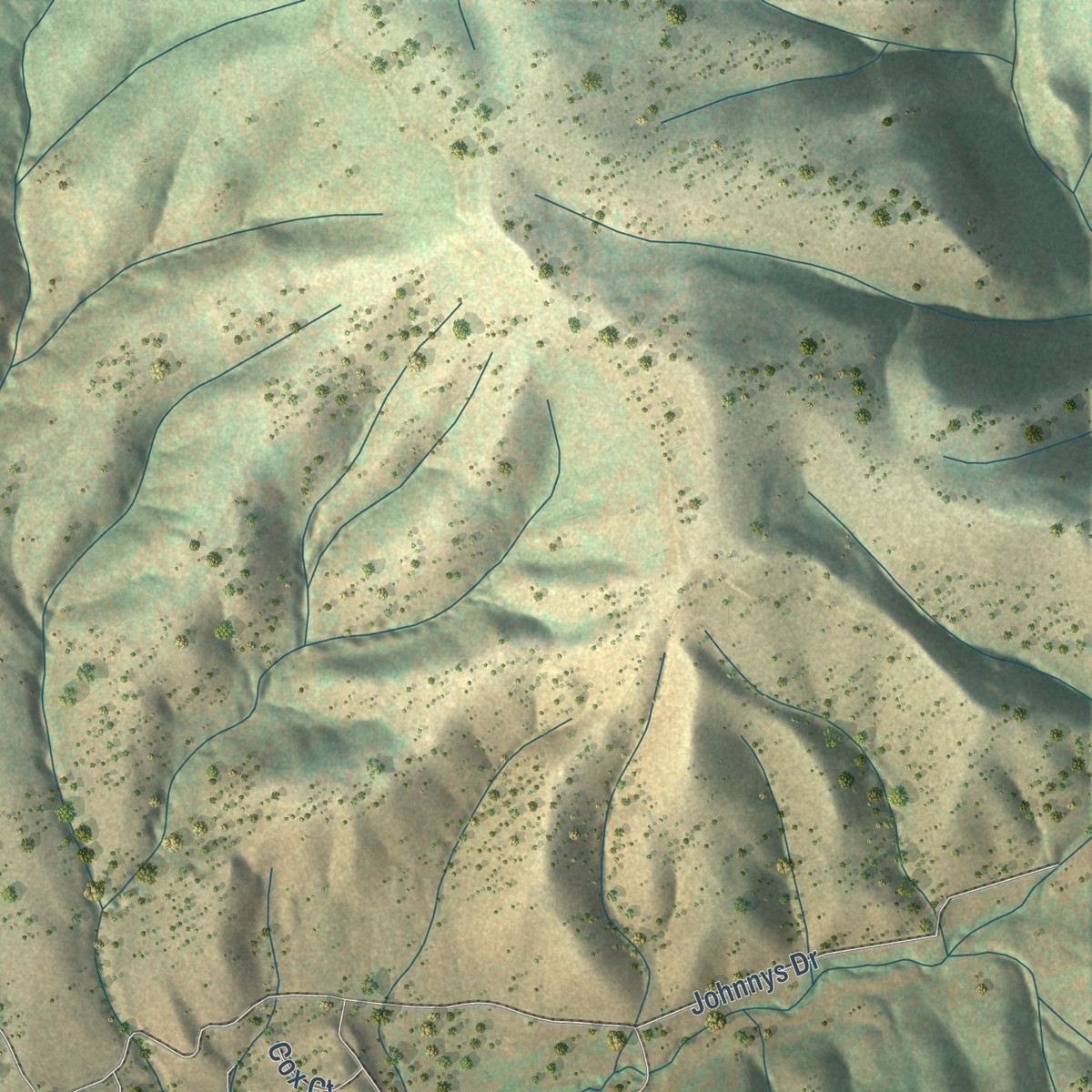
Aerial imagery reveals the character of the land: woodland, open fields, and the patterns of a place.

The shape of the land
Elevation data brings hills, valleys, and subtle changes in the landscape into view.

The details of home
Roads, waterways, and building footprints come together to make the map feel unmistakably local.

Geography becomes art
Considered color, shading, and typography bring the layers together in a map made for your wall.


Process illustrated with Mendon, Massachusetts. Aerial imagery: USDA NAIP. Terrain: USGS 3D Elevation Program. Map details and finished artwork: KNOWOL.
The Details
About This Print
Choose an archival matte print, or a black or white Ayous wood frame. The archival matte print is unframed.
Select your size and finish above to see the matching product image and price.
Materials & Craftsmanship
A contemporary map with the character of a classic atlas, printed on archival matte paper. Optional frames are made from Ayous wood.
Your printed map does not include the watermark shown in the full-map preview.
Shipping & Delivery
Free shipping within the United States. Every print is made to order in the USA.
Buying a gift? Add a note in your cart and we'll include it. We never put prices in the package.
Prints ship within 2 to 3 business days. Allow 7 to 10 days total from ordering for delivery. Timing may vary during holidays or periods of high order volume.
Read our shipping policy.
Returns and damaged prints
Each print is made to order. Change-of-mind refunds are not available after production.
If your print arrives damaged, misprinted or incorrect, contact support@knowol.com within 30 days of receiving it. Include your order number, photos and a description of the issue.
Read our full refund and replacement policy. For questions about your order, email support@knowol.com.
Find your town
Looking for another city?
Find a map of home in our New Mexico collection.
Nearby
Maps of towns near Timberon
Know someone from one of these towns? Their map makes a great gift.
 Sacramento
, New Mexico
From $39.99See the map
 Weed
Weed, New Mexico
From $39.99See the map
 Pinon
Pinon, New Mexico
From $39.99See the map
More maps nearby: Boles Acres, Mayhill, Twin Forks, High Rolls and Cloudcroft.