
Search for another town





Free U.S. delivery 7 to 10 days after you order
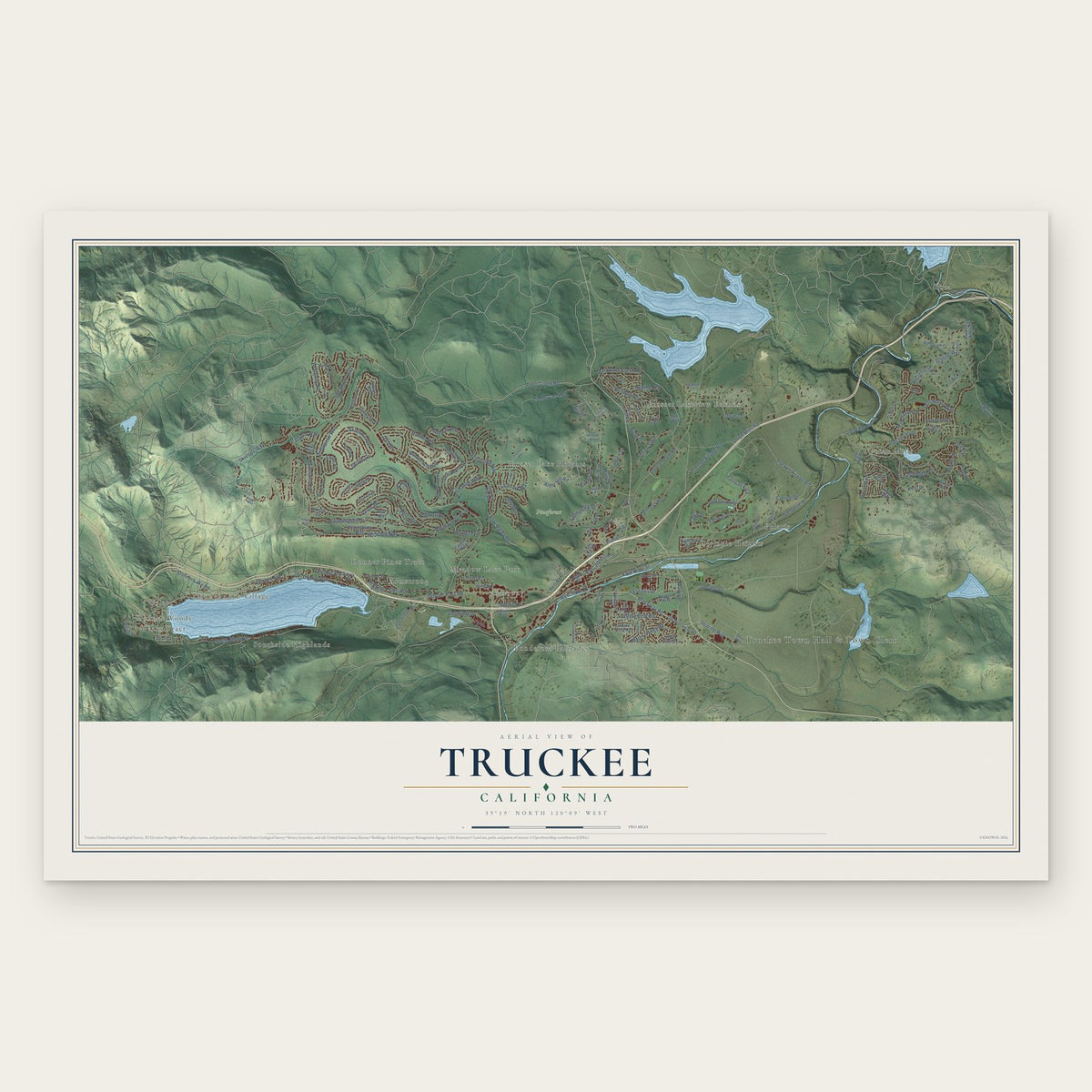
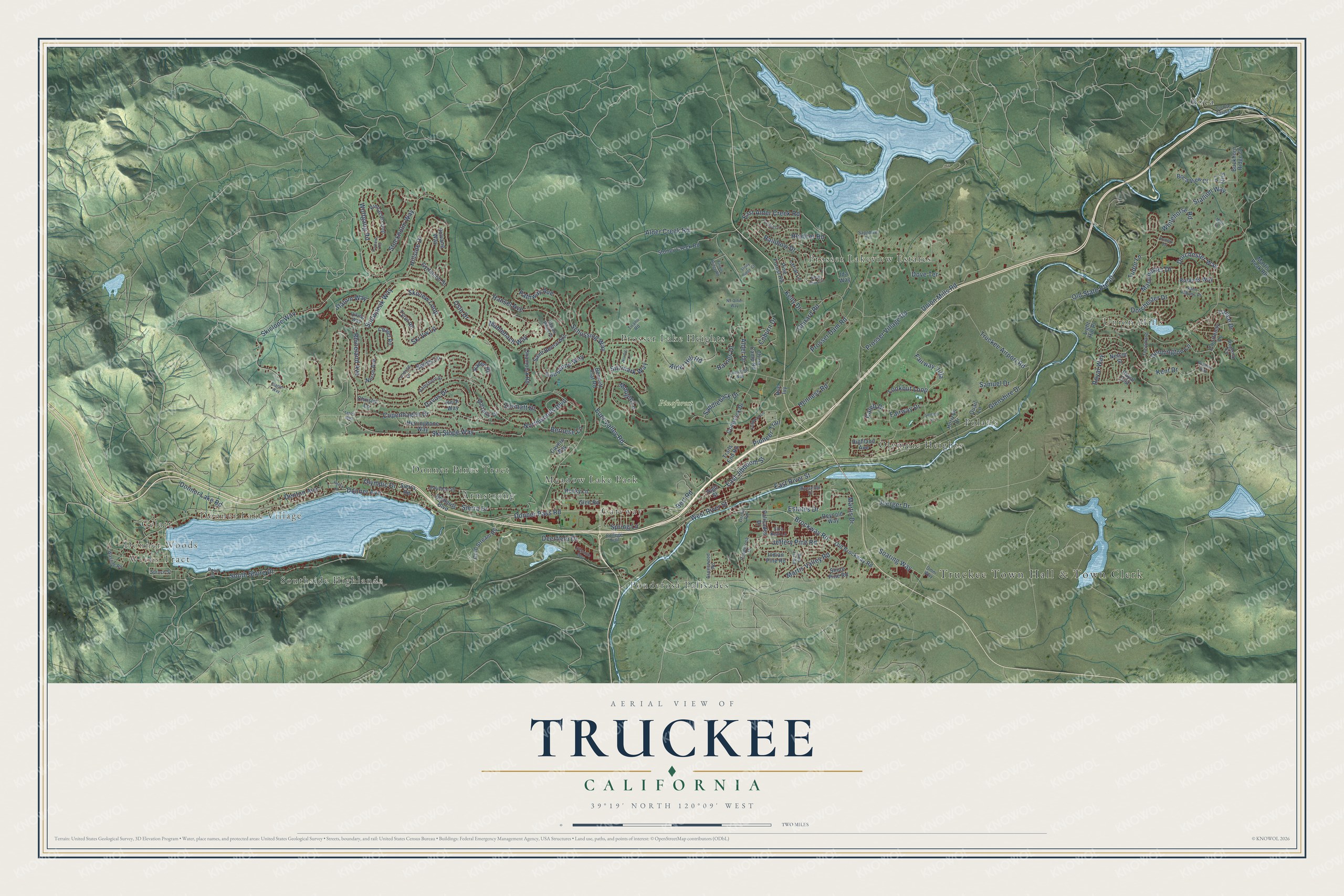
Truckee, California Map Art
Building by building, with labeled streets and shaded relief.
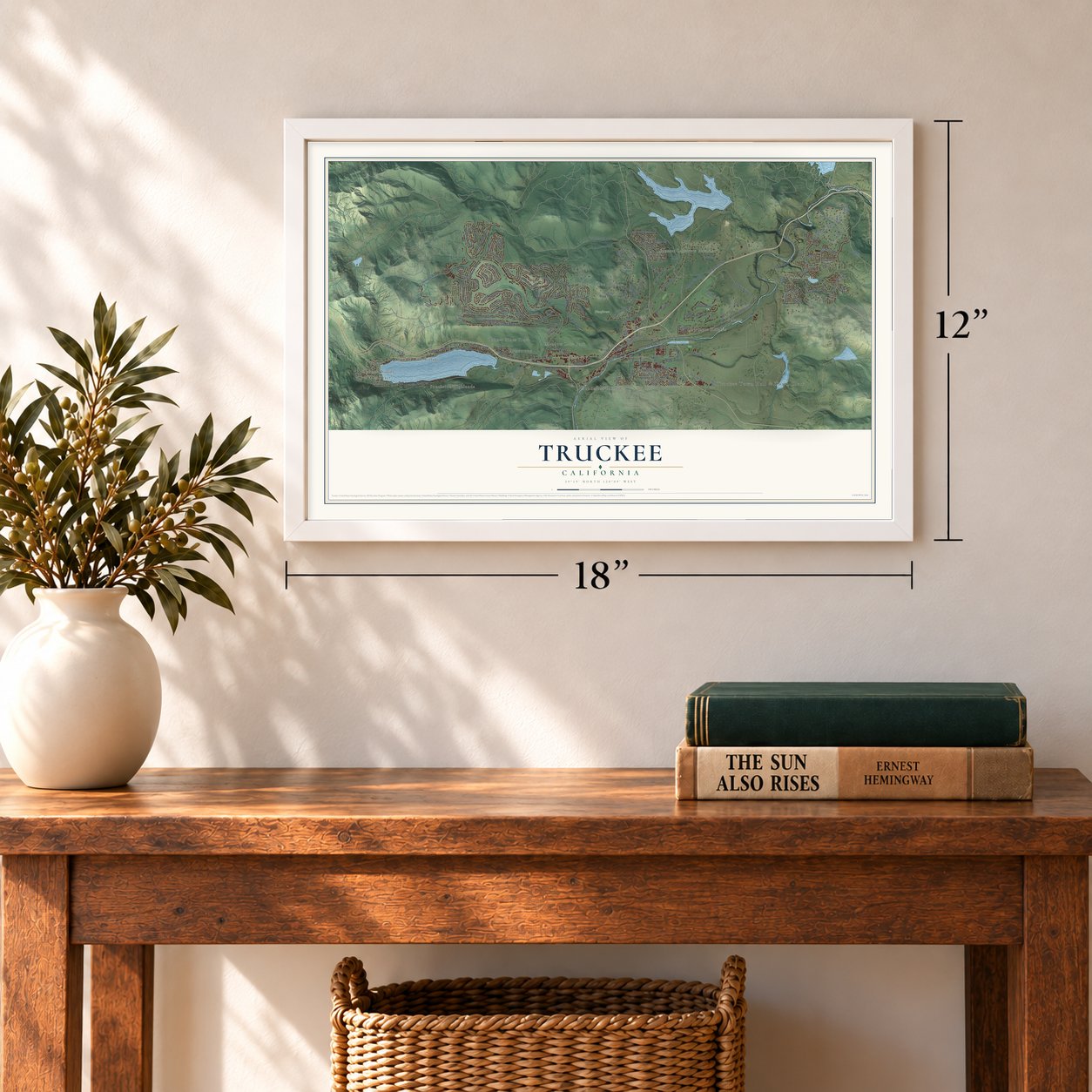
12" x 18" Archival Matte Print
A Map of Home. A Work of Art.
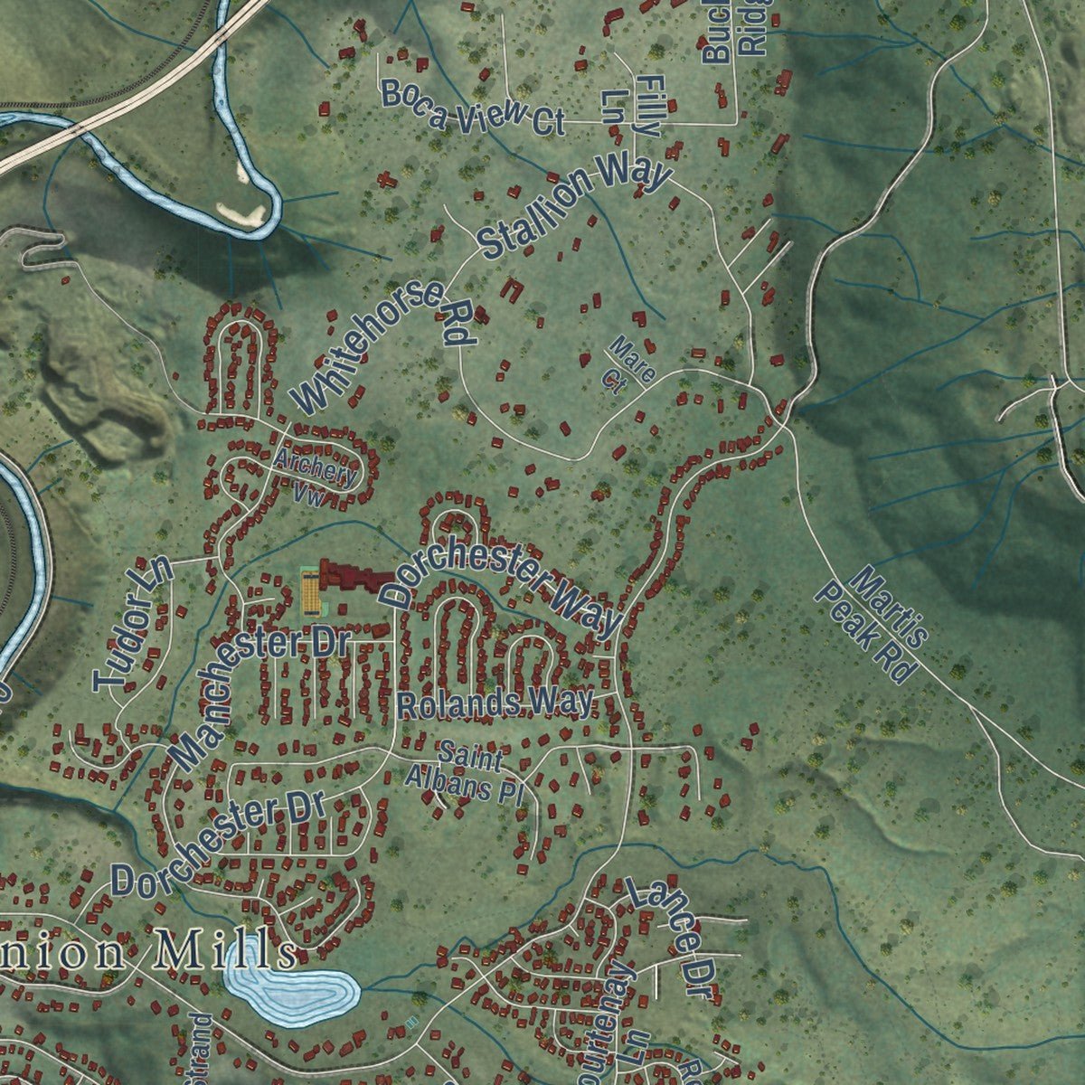
Explore Truckee, California from a whole new perspective. Created using aerial imagery and detailed geographic data, this map captures Truckee building by building, with labeled streets, familiar landmarks, and shaded topographical relief that highlights the natural contours of the landscape.
Combining modern data with the timeless character of a vintage atlas, this map is just as interesting up close as it is beautiful on the wall. Whether you grew up in Truckee, spent memorable years there, or call it home today, this unique map is a great way to celebrate a place that means something to you. Zoom in on the preview to look for your street, and then order a print to put your memories on the wall.
Three ways to hang it
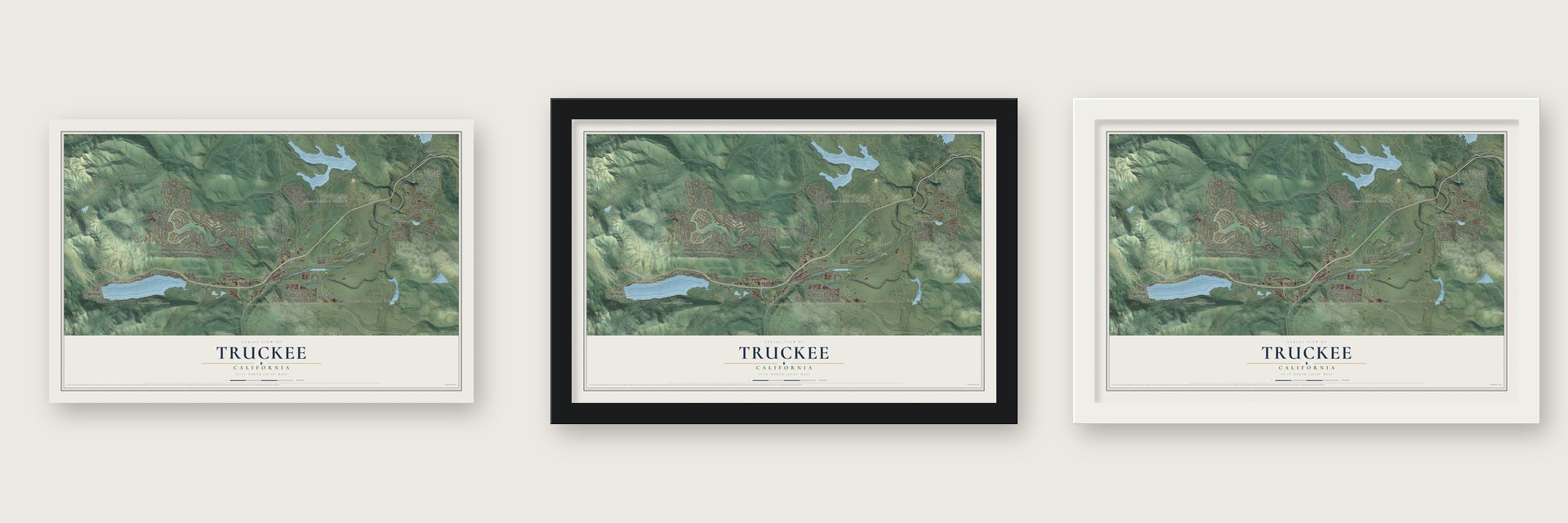
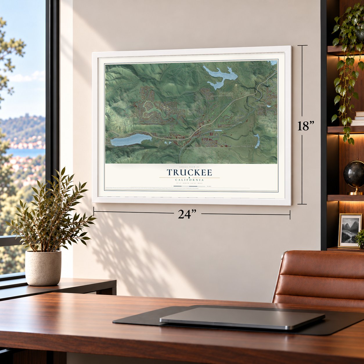
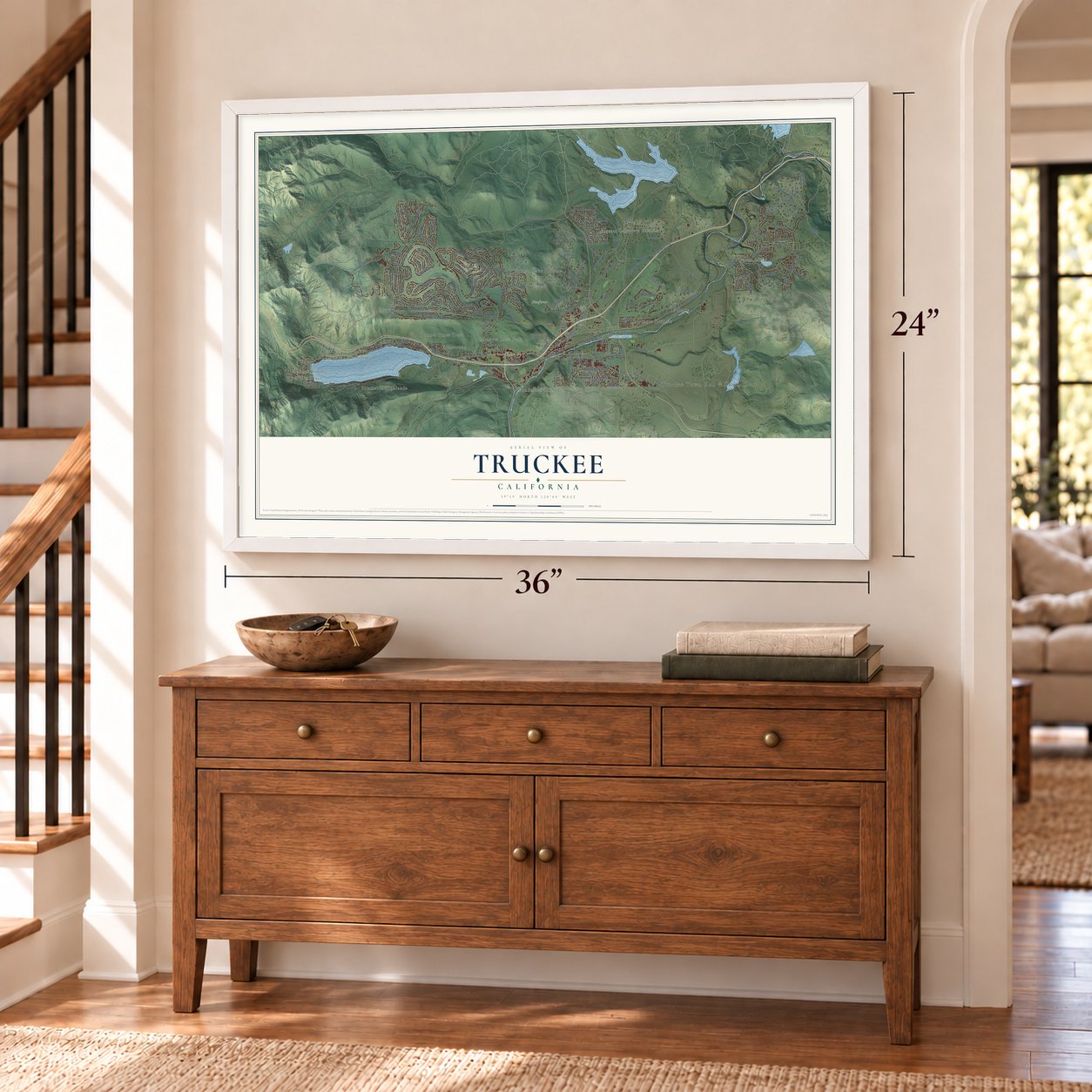
Unframed archival matte, a black wood frame or a white wood frame.
Up close
Geography Worth Displaying
This map was created using accurate cartographic data and authoritative geographic sources, including the U.S. Geological Survey and the Census Bureau. The map brings together terrain, waterways, roads, and building detail. The majority of the streets are labeled, houses are accurately depicted, and the topography is derived from government sources. Combining local data with carefully composed color and shading leads to this beautifully detailed Truckee artwork for your wall.
Rather than simply showing street outlines, we’ve included as many of the street names as we could reasonably fit on the map while keeping their names legible. Zoom in on the high resolution preview to see exactly what’s on the map. We truly set out to create a statement piece for anyone who loves Truckee. So whether it’s for you, or a gift for someone you love, we hope this map of Truckee brings back fond memories.
Read the story behind this map of Truckee, California from 2026.

Find your street
Names on the Truckee map
Every name below is printed on this map. Look for your street, your school, the park where you played, or the pond down the road.
Places and landmarks18
- Truckee Town Hall & Town Clerk
- Weeks Tract
- Donner Woods
- Gelatt
- Donner Lake Village
- Pineforest
- Armstrong
- Boca
- Donner Pines Tract
- Gateway
- Meadow Lake Park
- Olympic Heights
Show all 18 places
- Polaris
- Ponderosa Palisades
- Prosser Lake Heights
- Prosser Lakeview Estates
- Southside Highlands
- Union Mills
Streets and roads164
- Brockway Road
- East Jibboom Street
- Soaring Way
- Denton Avenue
- Donner Avenue
- Donner Pass Road
- Sierra Drive
- West River Street
- Donner Lake Road
- Northwoods Boulevard
- Glenshire Drive
- Ski Slope Way
- Skislope Way
- Alder Creek Road
- South Shore Drive
- Prosser Dam Road
- Davos Drive
- Hansel Avenue
- East Alder Creek Road
- Union Mills Road
- Joerger Drive
- Lausanne Way
- Swiss Lane
- Mougle Lane
- Whitehorse Road
- Fairway Drive
- Ski Vw Lp
- Skiview Loop
- Truckee Airport Road
- Muhlebach Way
Show all 164 streets
- Hillside Drive
- Donnington Lane
- Henness Road
- Schussing Way
- Dorchester Drive
- Wolfgang Road
- Old State Route 40
- Lookout Loop
- Rainbow Drive
- Snowpeak Way
- Alder Drive
- Copenhagen Drive
- Fairway Villa
- Martis Drive
- Sitzmark Way
- Ghirard Road
- East River Street
- Oslo Drive
- Bernese Lane
- Stockholm Way
- Pathway Avenue
- Stallion Way
- Deerfield Drive
- Prosser Village Road
- Jeffery Pine Road
- Alder Hill Road
- Zermatt Drive
- Saddleback Drive
- Dorchester Way
- Manchester Drive
- Pioneer Trail
- Bert Road
- Martis Valley Road
- Royal Way
- Kent Drive
- Caleb Drive
- Euer Valley Road
- Estates Drive
- Rhineland Avenue
- Samuel Drive
- Olympic Drive
- Kelly Drive
- Heather Road
- Tudor Lane
- Slalom Way
- Barnes Drive
- Spring Lane
- Coburn Drive
- Lance Drive
- Dove Terrace
- Old Brockway Road
- Courtenay Lane
- Sierra Road
- Saint Bernard Drive
- Stoney Creek Road
- Bennett Flat Road
- Tyrol Road
- Richards Boulevard
- Highland Avenue
- Pine Forest Road
- China Camp Road
- Pinnacle Loop
- Solvang Way
- Royal Crst
- Comstock Drive
- Chalet Road
- Herringbone Way
- Cold Stream Road
- Chamonix Road
- Buckhorn Ridge Court
- Baden Road
- Martis Peak Road
- High Street
- Heidi Way
- Rue Ivy
- Reynold Way
- Palisades Drive
- Boca View Court
- Gyrfalcon Street
- Rolands Way
- Norse Avenue
- Indian Pine Road
- Nelson Street
- Bolzano Drive
- Rocky Lane
- Trails End Road
- Lariat Lane
- Christie Lane
- Shore Pine Road
- Cavern Way
- Glen Road
- Horizon Drive
- Filly Lane
- Light Hill Place
- Quail Lane
- Ida Way
- The Strand
- Falcon Point Place
- Washoe Road
- Red Fir Road
- Palisade Street
- Viking Way
- Ponderosa Drive
- Riverview Drive
- Saint Albans Place
- Ramshorn Street
- Aspenwood Road
- Tirano Road
- College Trail
- Regency Circle
- Sara Bear Lane
- Sapphire Lane
- Spruce Street
- Lucerne Lane
- Point Drive
- Omni Way
- Orelis Road
- Oakwood Lane
- Snow Shoe Circle
- Archery Vw
- Parsenn Road
- Glacier Way
- Timber Ridge Road
- Dolomite Way
- Robin Lane
- Cheyanne Way
- Lenelle Lane
- Stony Ridge Court
- Nordic Lane
- No Other Way
- Windsor Way
- Settlers Lane
- Teton Way
- Mare Court
Names are listed as they appear on the printed map. Zoom into the product photos to find them.
About Truckee, California
Truckee is a town of 16,729 people in Nevada County, near Donner Lake and the Truckee River. It began in 1863 as Gray's Station, a stop named for Joseph Gray's roadhouse on the wagon road across the Sierra. Samuel S. Coburn, a blacksmith, set up shop there early on, and by 1866 people called the place Coburn's Station.
The Central Pacific Railroad had picked the name Truckee for its station by August 1867, a year before the tracks arrived. The name honors a Paiute chief whose son was Chief Winnemucca and whose granddaughter was Sarah Winnemucca. He met some of the first travelers to cross the mountains and later guided John C. Frémont. Truckee incorporated in 1993, and Kathleen Eagan served as its first mayor until 1995.
- Rails over the Sierra, 1868Work on the Sierra tunnels held up the Central Pacific, so crews sent ahead to Truckee started laying 40 miles of track in both directions, hauling supplies in by wagon and sled. Summit Tunnel opened in December 1867, and the line reached Truckee on April 3, 1868. Amtrak's California Zephyr still stops at Truckee station every day.
- The Donner Party, 1846A party of settlers from Illinois was halted by an early blizzard beside today's Donner Lake, below the Sierra summit. Attempts to drag their wagons over the pass failed, and the families spent a starving winter in camp. James F. Reed, who had gone ahead, organized relief parties, and 48 of the 87 settlers survived. Donner Memorial State Park now stands at the east end of the lake.
- Lars Haugen's ski jumpIn the early 1900s Lars Haugen, who won seven Olympic ski jumping titles, drew up a ski jump that was built at the Hilltop Lodge site, where Truckee is said to have had one of the country's first mechanized ski lifts. The Crandall Brothers turned the lodge into a restaurant in the 1940s, and a Poma lift was added there in 1954.
- Fifth-snowiest U.S. cityTruckee averages 206.6 inches of snow a year, which ranks it fifth among U.S. cities. February 1938 brought 196.0 inches in a single month, and the winter from July 1951 to June 1952 brought 444.3 inches.
Keep exploring California
Truckee is one of 1,960 California towns we've mapped. Every dot on the map is a print of its own.
The search covers every state, California first.
Near Truckee
Order 2 or more town maps and save 10%. Shown in the size and finish you picked above, so they hang as a set.
- Floriston 12" x 18" / Archival Matte Print $39.99
- Soda Springs 12" x 18" / Archival Matte Print $39.99
- Carnelian Bay 12" x 18" / Archival Matte Print $39.99
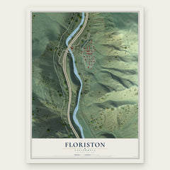


More maps nearby: Tahoe Vista, Cedar Flat, Kings Beach, Dollar Point and Kingvale.
The art of mapping a place
How This Map Was Made
Real places. Remarkable detail. Discover the layers that turn geographic data into a map of home.

The view from above
Aerial imagery reveals the character of the land: woodland, open fields, and the patterns of a place.

The shape of the land
Elevation data brings hills, valleys, and subtle changes in the landscape into view.

The details of home
Roads, waterways, and building footprints come together to make the map feel unmistakably local.

Geography becomes art
Considered color, shading, and typography bring the layers together in a map made for your wall.


Process illustrated with Mendon, Massachusetts. Aerial imagery: USDA NAIP. Terrain: USGS 3D Elevation Program. Map details and finished artwork: KNOWOL.
The Details
About This Print
Choose an archival matte print, or a black or white Ayous wood frame. The archival matte print is unframed.
Select your size and finish above to see the matching product image and price.
Materials & Craftsmanship
A contemporary map with the character of a classic atlas, printed on archival matte paper. Optional frames are made from Ayous wood.
Your printed map does not include the watermark shown in the full-map preview.
Shipping & Delivery
Free shipping within the United States. Every print is made to order in the USA.
Buying a gift? Add a note in your cart and we'll include it. We never put prices in the package.
Prints ship within 2 to 3 business days. Allow 7 to 10 days total from ordering for delivery. Timing may vary during holidays or periods of high order volume.
Read our shipping policy.
Returns and damaged prints
Each print is made to order. Change-of-mind refunds are not available after production.
If your print arrives damaged, misprinted or incorrect, contact support@knowol.com within 30 days of receiving it. Include your order number, photos and a description of the issue.
Read our full refund and replacement policy. For questions about your order, email support@knowol.com.