
Search for another town
Free U.S. delivery 7 to 10 days after you order
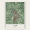
Tyler, Texas Map Art
Building by building, with labeled streets and shaded relief.
12" x 18" Archival Matte Print
A Map of Home. A Work of Art.
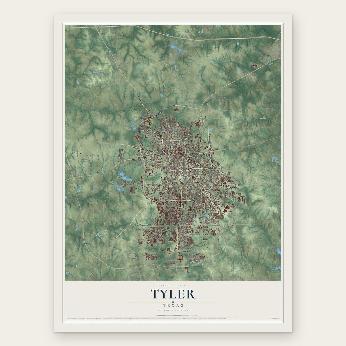
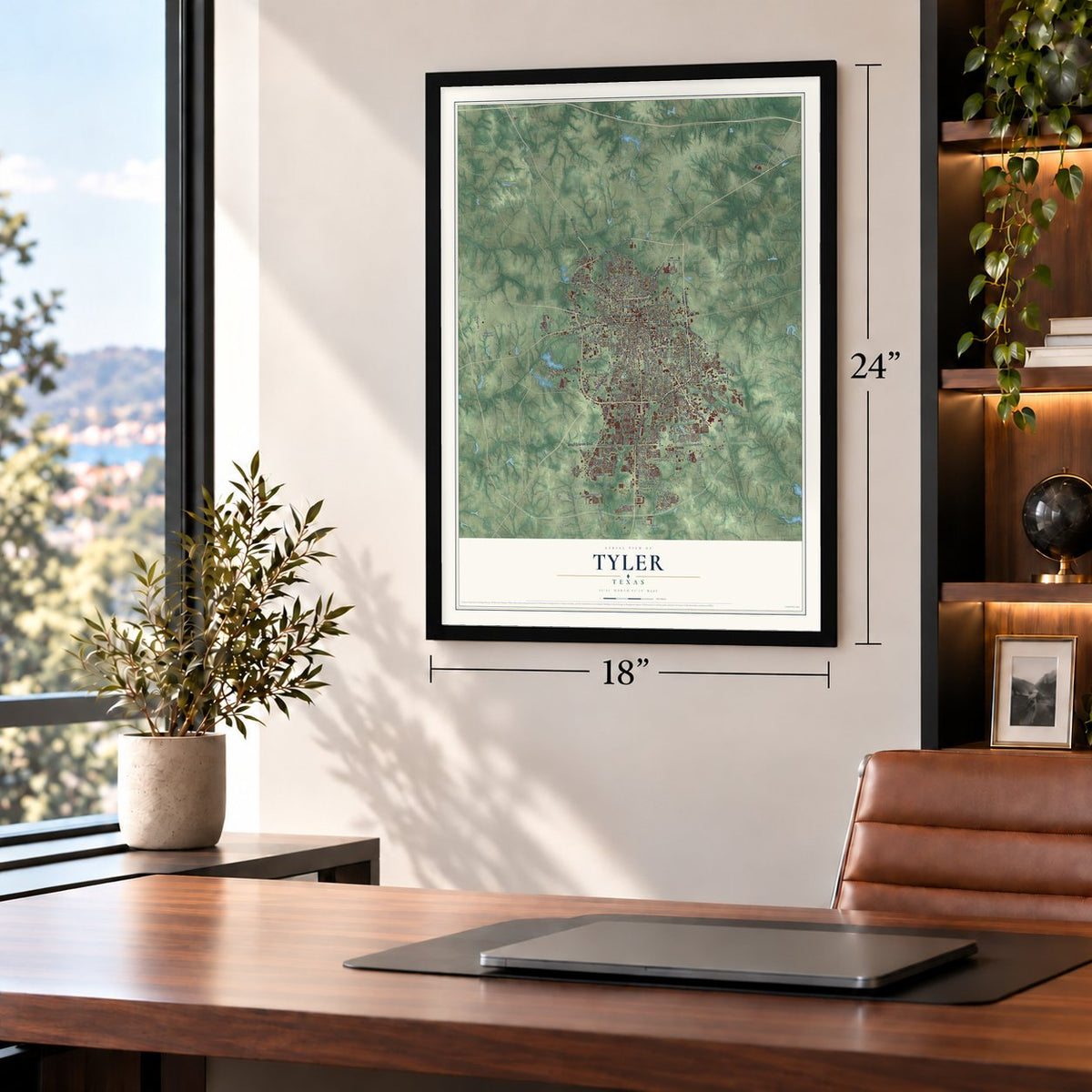
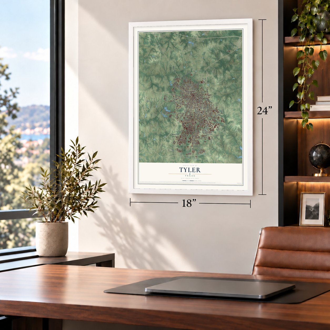
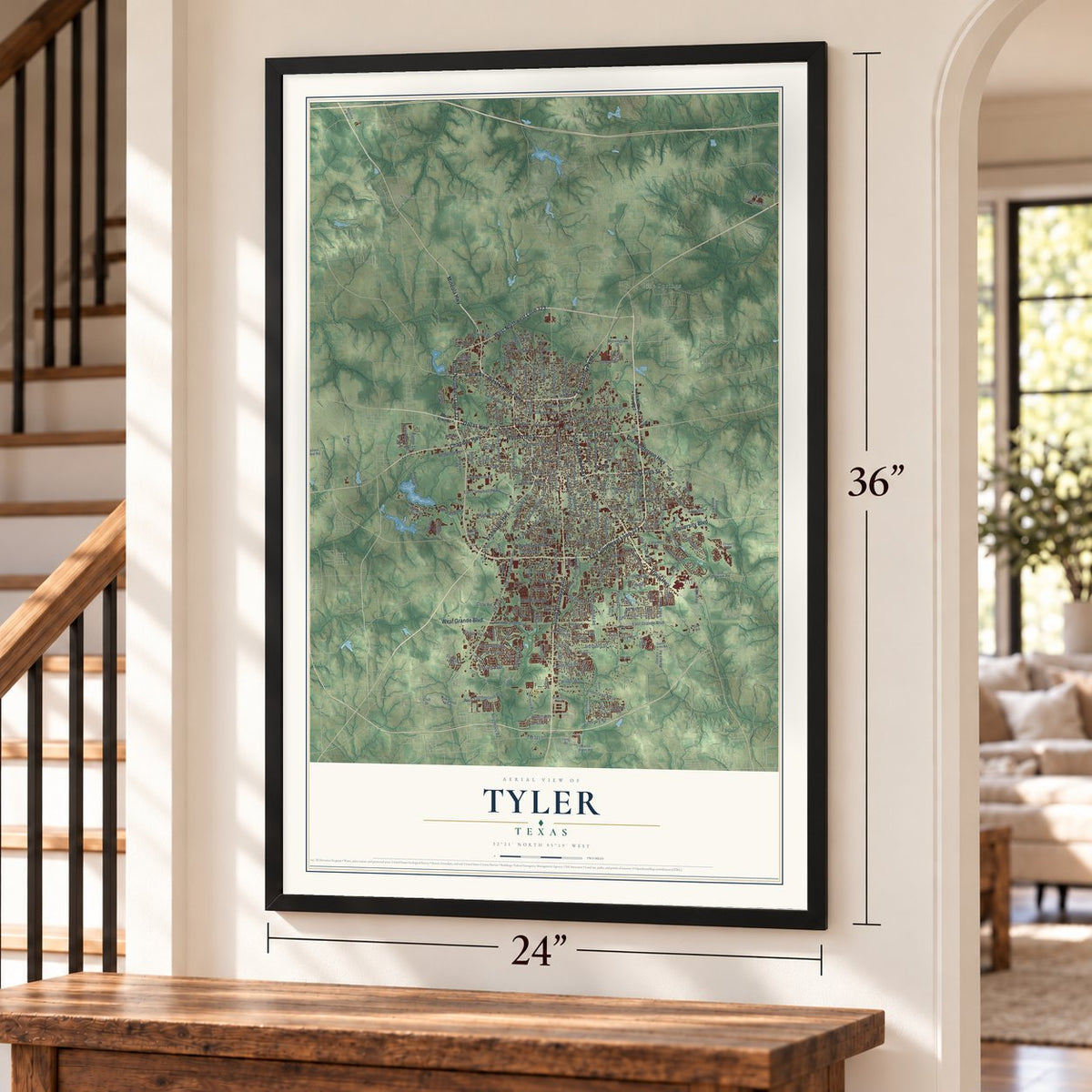
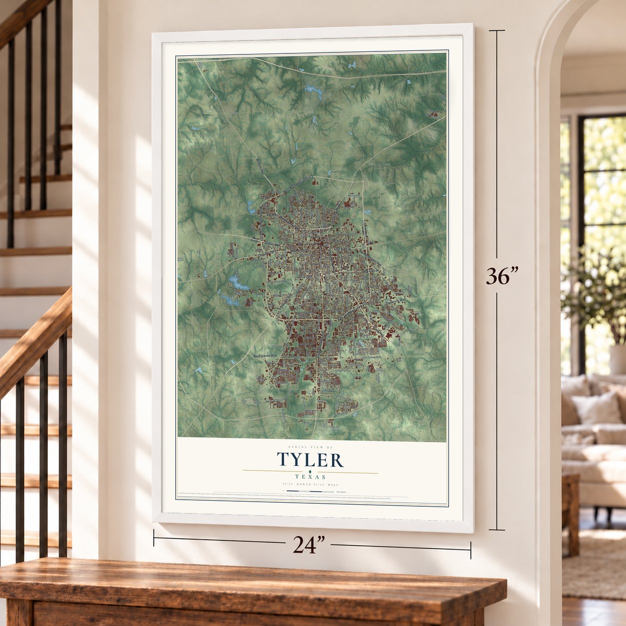
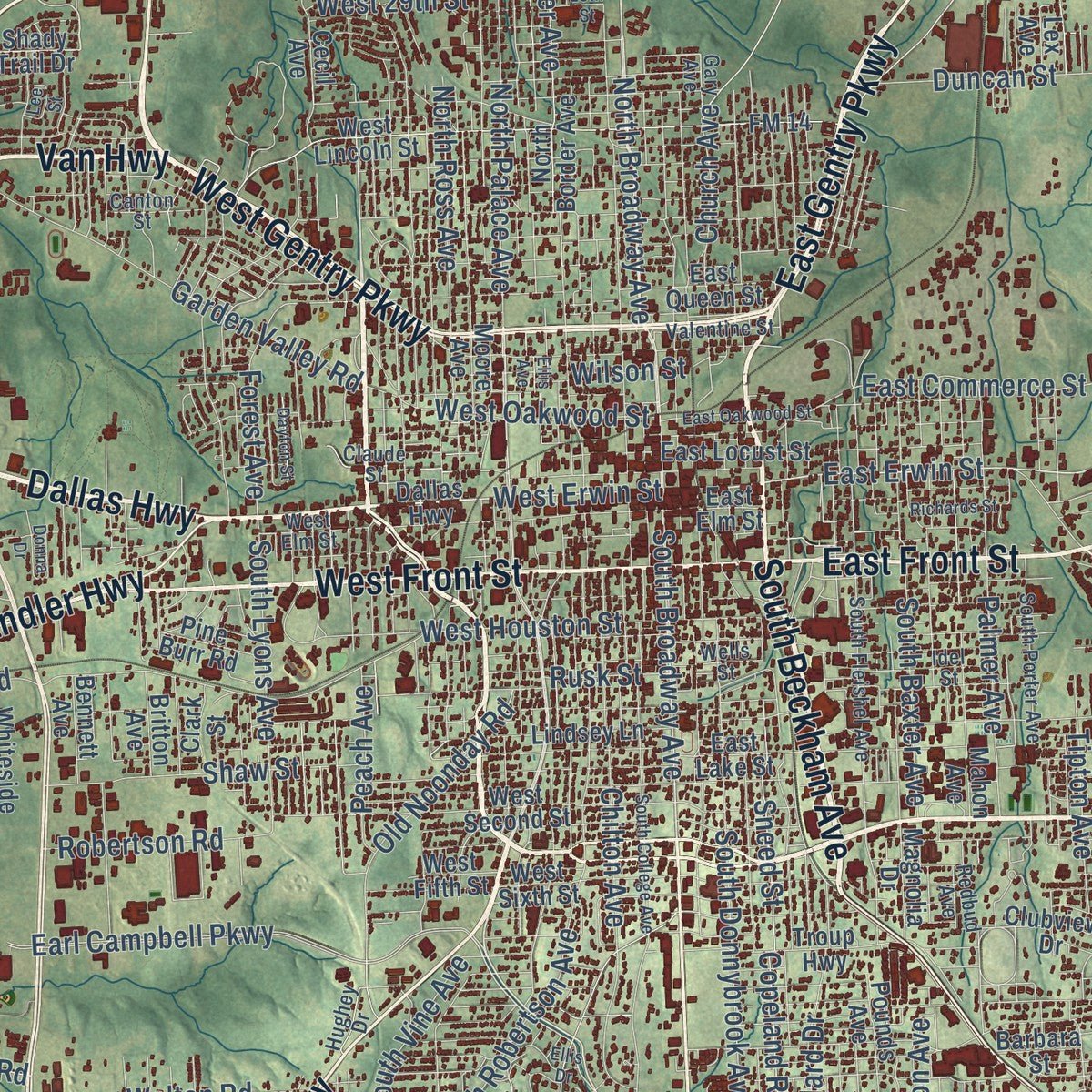
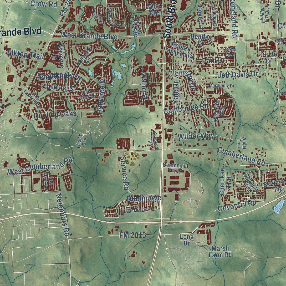
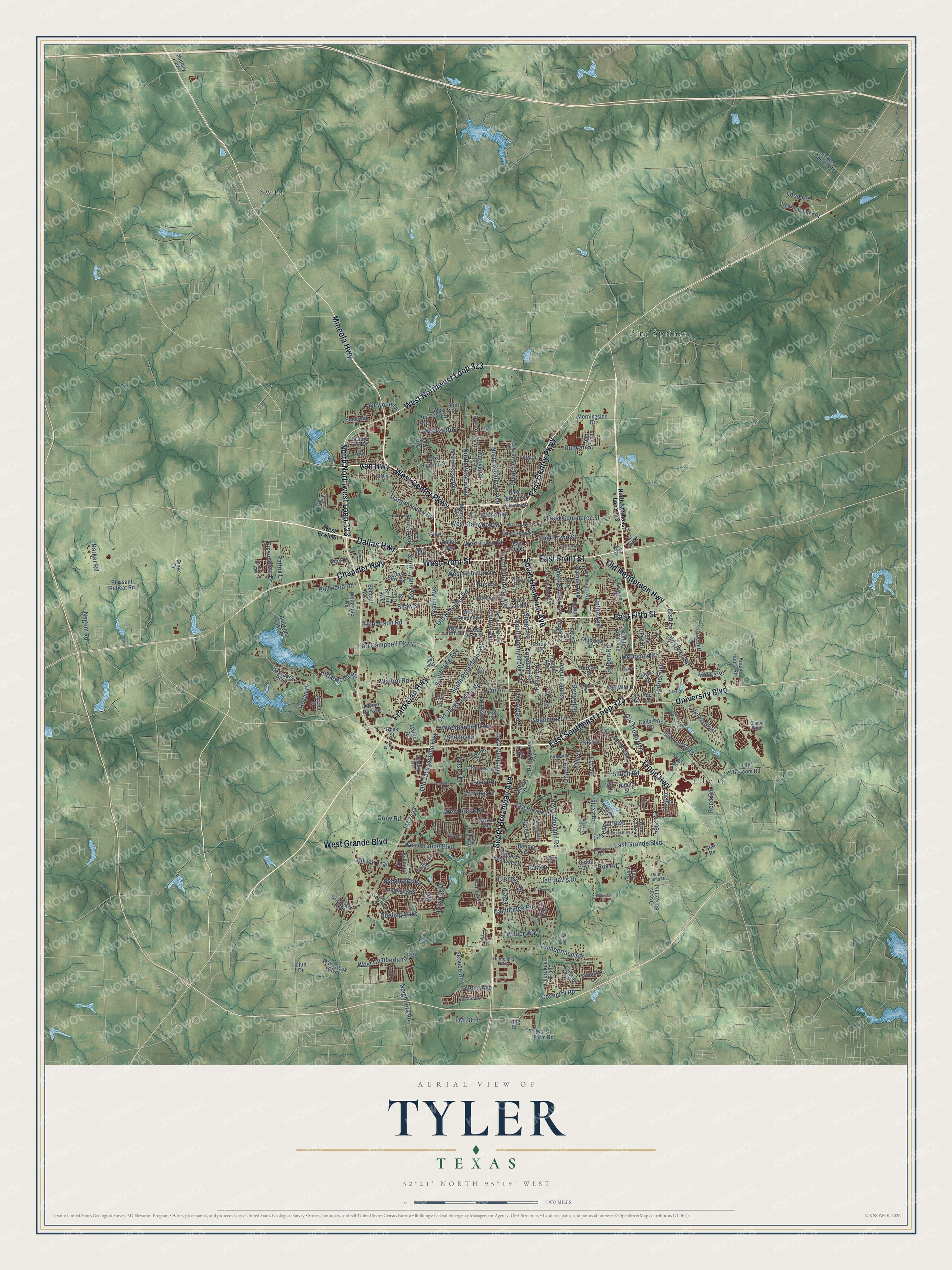
Explore Tyler, Texas from a whole new perspective. Created using aerial imagery and detailed geographic data, this map captures Tyler building by building, with labeled streets, familiar landmarks, and shaded topographical relief that highlights the natural contours of the landscape.
Combining modern data with the timeless character of a vintage atlas, this map is just as interesting up close as it is beautiful on the wall. Whether you grew up in Tyler, spent memorable years there, or call it home today, this unique map is a great way to celebrate a place that means something to you. Zoom in on the preview to look for your street, and then order a print to put your memories on the wall.
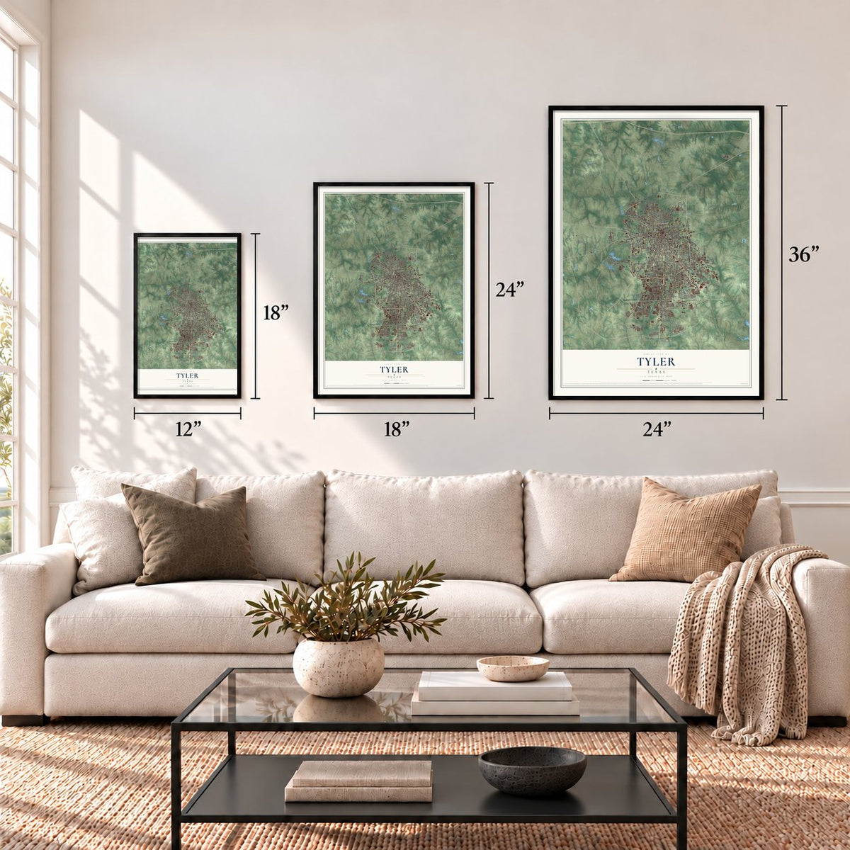
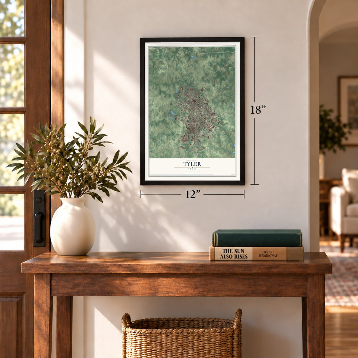
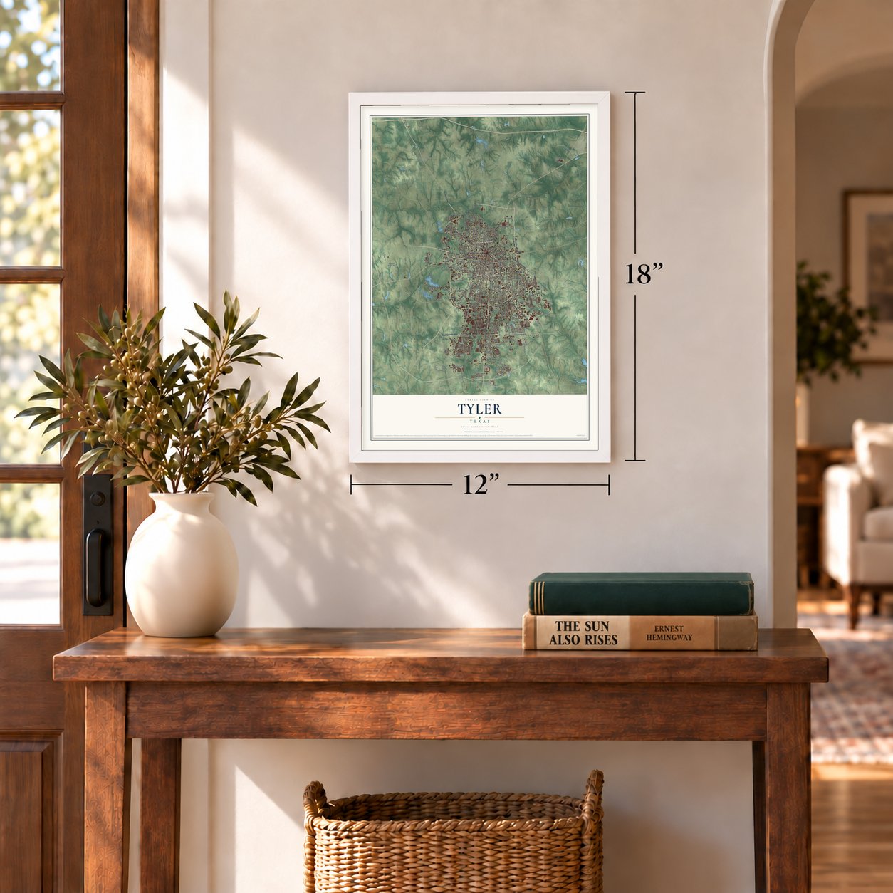
Three ways to hang it
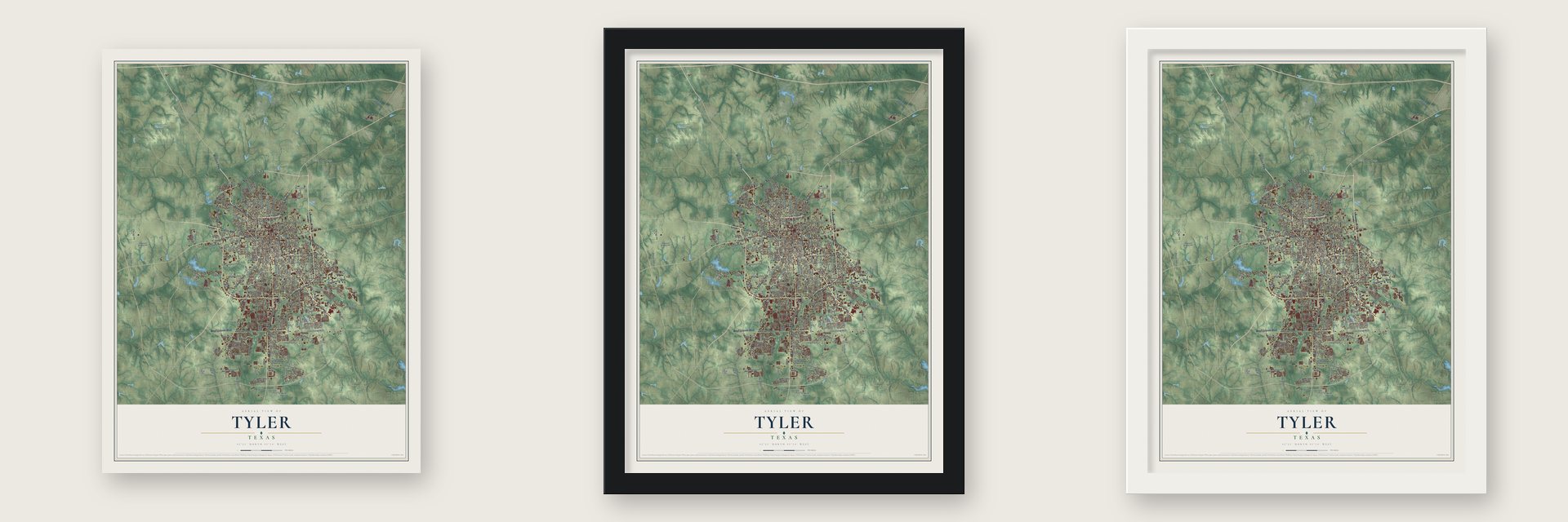
Unframed archival matte, a black wood frame or a white wood frame.
Up close
Geography Worth Displaying
This map was created using accurate cartographic data and authoritative geographic sources, including the U.S. Geological Survey and the Census Bureau. The map brings together terrain, waterways, roads, and building detail. The majority of the streets are labeled, houses are accurately depicted, and the topography is derived from government sources. Combining local data with carefully composed color and shading leads to this beautifully detailed Tyler artwork for your wall.
Rather than simply showing street outlines, we’ve included as many of the street names as we could reasonably fit on the map while keeping their names legible. Zoom in on the high resolution preview to see exactly what’s on the map. We truly set out to create a statement piece for anyone who loves Tyler. So whether it’s for you, or a gift for someone you love, we hope this map of Tyler brings back fond memories.
Find your street
Names on the Tyler map
Every name below is printed on this map. Look for your street, your school, the park where you played, or the pond down the road.
Places and landmarks3
- Elberta
- Pine Springs
- Swan
Streets and roads263
- South Broadway Avenue
- East Fifth Street
- West Gentry Parkway
- Mineola Highway
- West Northwest Loop 323
- East Gentry Parkway
- North Northwest Loop 323
- Frankston Highway
- South Beckham Avenue
- East Southeast Loop 323
- Troup Highway
- East Front Street
- Chandler Highway
- West Front Street
- Dallas Highway
- University Boulevard
- Old Henderson Highway
- West Grande Boulevard
- Van Highway
- North Broadway Avenue
- South Vine Avenue
- East Erwin Street
- West Erwin Street
- North Palace Avenue
- New Copeland Road
- West Rieck Road
- FM 2813
- Coventry Road
- Dueling Oaks
- East Grande Boulevard
Show all 263 streets
- Paluxy Drive
- FM 756
- FM 2493
- Old Jacksonville Highway
- Old Noonday Road
- Old Omen Road
- Earl Campbell Parkway
- Copeland Road
- Shiloh Road
- Old Bullard Road
- Hollytree Drive
- Golden Road
- South Donnybrook Avenue
- Bellwood Road
- Old Jacksonville Road
- South Robertson Avenue
- McDonald Road
- Shaw Street
- Border Avenue
- Garden Valley Road
- Lazy Creek Drive
- Cumberland Road
- West Cumberland Road
- West Oakwood Street
- Pollard Drive
- Old Troup Highway
- East Commerce Street
- North Ross Avenue
- Rice Road
- Chilton Avenue
- FM 2964
- Fry Avenue
- West Houston Street
- Palmer Avenue
- South Baxter Avenue
- Cameron Avenue
- Peach Avenue
- Neighbors Road
- Walton Road
- Cambridge Road
- South Lyons Avenue
- Roy Road
- Forest Avenue
- Service Road
- Duncan Street
- Jeff Davis Drive
- Shelley Drive
- Woodland Hills Drive
- West 29th Street
- Graemont Boulevard
- Wilder Way
- Woodlands Drive
- Birdwell Drive
- Hogan Drive
- Wilson Street
- Sneed Street
- Negem Road
- Patton Lane
- Tipton Avenue
- Dublin Avenue
- Robertson Road
- Easy Street
- Eisenhower Drive
- Patriot Avenue
- Crow Road
- Church Avenue
- Parker Road
- Chad Drive
- Rusk Street
- Briarwood Road
- Pam Drive
- Kidd Drive
- Lakewood Drive
- Carriage Drive
- Gish Lane
- Kinsey Drive
- Shepherd Lane
- Elkton Trail
- Colgate Avenue
- Clemson Drive
- Loop Road
- Fair Lane
- Reed Road
- Yale Drive
- Shady Trail Drive
- Morningside Drive
- East Rieck Road
- Skidmore Lane
- Donnybrook Avenue
- West Lincoln Street
- Pleasant Retreat Road
- West Second Street
- East Lake Street
- Moore Avenue
- Mahon Avenue
- North Border Avenue
- East Locust Street
- West Sixth Street
- Circle Drive
- Woods Boulevard
- Barbara Street
- Nimitz Street
- East Elm Street
- Bellwood Lake Drive
- Bennett Avenue
- Marsh Farm Road
- Whiteside Road
- Cascades Boulevard
- Lindsey Lane
- Magnolia Drive
- Old Bascom Road
- Pine Crest Drive
- South Boldt Avenue
- Brookside Drive
- Robert East Lee Drive
- Cherokee Trail
- Oscar Burkett Road
- FM 14
- West Fifth Street
- Pinehurst Street
- Trenton Drive
- Edinburgh Drive
- Health Center Drive
- Pounds Avenue
- Center Church Road
- Calloway Road
- Crosslake Boulevard
- Adam Henry Road
- Clubview Drive
- Wood Glen
- East Queen Street
- Cecil Avenue
- Covey Lane
- Ashmore Lane
- Reagan Street
- Alta Mira Drive
- Hanover Place
- Amy Lane
- Scenic Drive
- Oak Creek Boulevard
- Ada Avenue
- Pine Cone Lane
- Dixie Drive
- Benbrook Drive
- Trinity Drive
- Pine Burr Road
- Britton Avenue
- Waljim Street
- Fairfax Drive
- Haverhill Drive
- West 33rd Street
- Bentley Court
- Market Drive
- Military Drive
- Candy Lane
- Macon Drive
- 34th Street
- Profit Drive
- Grace Avenue
- Towne Park Drive
- Clark Street
- Club Drive
- Suel Drive
- Long Br
- Cr 2347
- Goss Street
- Lex Avenue
- Star Road
- North Northeast Loop 323
- FM 2767
- Gary Avenue
- South Fleishel Avenue
- West Elm Street
- Centennial Parkway
- Stonegate Boulevard
- Hollytree Circle
- Spring Creek Drive
- Claude Street
- Chisholm Trail
- South Porter Avenue
- Pinkerton Drive
- Bain Place
- Beth Drive
- Idel Street
- Guinn Farms Road
- Valentine Street
- Hubbard Drive
- Dennis Drive
- Rochester Way
- Canton Street
- Redbud Avenue
- Ambrose Avenue
- Ulster Drive
- Greg Lane
- Hughey Drive
- Chapel Ridge
- Wells Street
- Villa Drive
- Ellis Avenue
- South College Avenue
- Three Lakes Parkway
- East Oakwood Street
- Holly Creek Drive
- Richards Street
- Timberwilde Drive
- Brynmar Court
- Equestrian Lane
- Lake Forest Drive
- Lee Street
- Andover Drive
- Lake Drive
- Wilderness Road
- San Jacinto Drive
- Eagles Nest Boulevard
- McClenny Drive
- Stoneleigh Drive
- Deerbrook Drive
- Sherry Lane
- Donna Drive
- Dayton Street
- Ellis Drive
- Wilder Trail
- Red Raider Road
- Crooked Trail
- Brandon Drive
- Larkspur Lane
- Flat Rock Lane
- Shiloh Ridge Drive
- Delmar Street
- Legacy Bnd
- Lake Park Drive
- Watson Street
- 28th Street
Names are listed as they appear on the printed map. Zoom into the product photos to find them.
About Tyler, Texas
Tyler is a city of 105,995 people and the county seat of Smith County, in East Texas. On April 11, 1846, the Texas legislature voted to create Smith County along with a county seat, and a panel of commissioners chose a spot near the middle of the county. They named the town for President John Tyler, who had backed bringing Texas into the United States.
On February 6, 1847, the commissioners paid Edgar Pollett $150 for 100 acres and laid out twenty-eight blocks around a central square. The first courthouse, a log cabin facing the square from the north, also served as the town's meeting hall and church. A second log courthouse went up in the middle of the square that same year. Tyler was incorporated on January 29, 1850, and two years later a larger brick courthouse took the log one's place.
- A railroad of its ownWhen the Texas and Pacific and the International railroads both picked routes that passed Tyler by, local people paid for their own line, the Tyler Tap Railroad, running 21 miles to Big Sandy. The International-Great Northern reached town in 1874, three years before the Tap was finished in 1877. The Tap still grew into the 725-mile Texas and St. Louis Railway and then the Cotton Belt, whose passenger depot in Tyler joined the National Register in 2001.
- From peaches to rosesLate in the nineteenth century, orchards became big business here, and peaches led the way. By 1900 the county counted more than one million fruit trees. Then disease struck the peach trees, and by the 1920s farmers had switched to roses. Within twenty years the Tyler area grew most of the nation's roses, which earned it the name Rose Capital of America.
- The Texas Rose FestivalTyler's 14-acre rose garden is the largest in the United States, holding more than 38,000 rose bushes in at least 500 varieties. Every October the Texas Rose Festival brings thousands of visitors for a parade and the crowning of the Rose Queen, and the Rose Museum inside the garden tells the festival's history.
- The first Adopt-a-HighwayIn 1985 local Texas Department of Transportation officials asked for help, and Tyler's Civitan club agreed to take care of two miles of U.S. Route 69 between Tyler and Lindale. That was the start of the worldwide Adopt-a-Highway movement, and brown signs on the stretch still name it the first in the world.
- Texas College in 1894Ministers of the Colored Methodist Episcopal Church founded Texas College in Tyler in 1894. Tyler Junior College began in 1926 as part of the city's public schools, and the University of Texas system opened the University of Texas at Tyler in 1971.
Keep exploring Texas
Tyler is one of 2,049 Texas towns we've mapped. Every dot on the map is a print of its own.
The search covers every state, Texas first.
Near Tyler
Order 2 or more town maps and save 10%. Shown in the size and finish you picked above, so they hang as a set.
- Chapel Hill 12" x 18" / Archival Matte Print $39.99
- Noonday 12" x 18" / Archival Matte Print $39.99
- New Chapel Hill 12" x 18" / Archival Matte Print $39.99
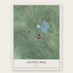
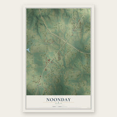
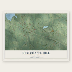
More maps nearby: Whitehouse, Chandler, Bullard, Emerald Bay and Lindale.
The art of mapping a place
How This Map Was Made
Real places. Remarkable detail. Discover the layers that turn geographic data into a map of home.

The view from above
Aerial imagery reveals the character of the land: woodland, open fields, and the patterns of a place.

The shape of the land
Elevation data brings hills, valleys, and subtle changes in the landscape into view.

The details of home
Roads, waterways, and building footprints come together to make the map feel unmistakably local.

Geography becomes art
Considered color, shading, and typography bring the layers together in a map made for your wall.


Process illustrated with Mendon, Massachusetts. Aerial imagery: USDA NAIP. Terrain: USGS 3D Elevation Program. Map details and finished artwork: KNOWOL.
The Details
About This Print
Choose an archival matte print, or a black or white Ayous wood frame. The archival matte print is unframed.
Select your size and finish above to see the matching product image and price.
Materials & Craftsmanship
A contemporary map with the character of a classic atlas, printed on archival matte paper. Optional frames are made from Ayous wood.
Your printed map does not include the watermark shown in the full-map preview.
Shipping & Delivery
Free shipping within the United States. Every print is made to order in the USA.
Buying a gift? Add a note in your cart and we'll include it. We never put prices in the package.
Prints ship within 2 to 3 business days. Allow 7 to 10 days total from ordering for delivery. Timing may vary during holidays or periods of high order volume.
Read our shipping policy.
Returns and damaged prints
Each print is made to order. Change-of-mind refunds are not available after production.
If your print arrives damaged, misprinted or incorrect, contact support@knowol.com within 30 days of receiving it. Include your order number, photos and a description of the issue.
Read our full refund and replacement policy. For questions about your order, email support@knowol.com.