
Search for another town

Free U.S. delivery 7 to 10 days after you order
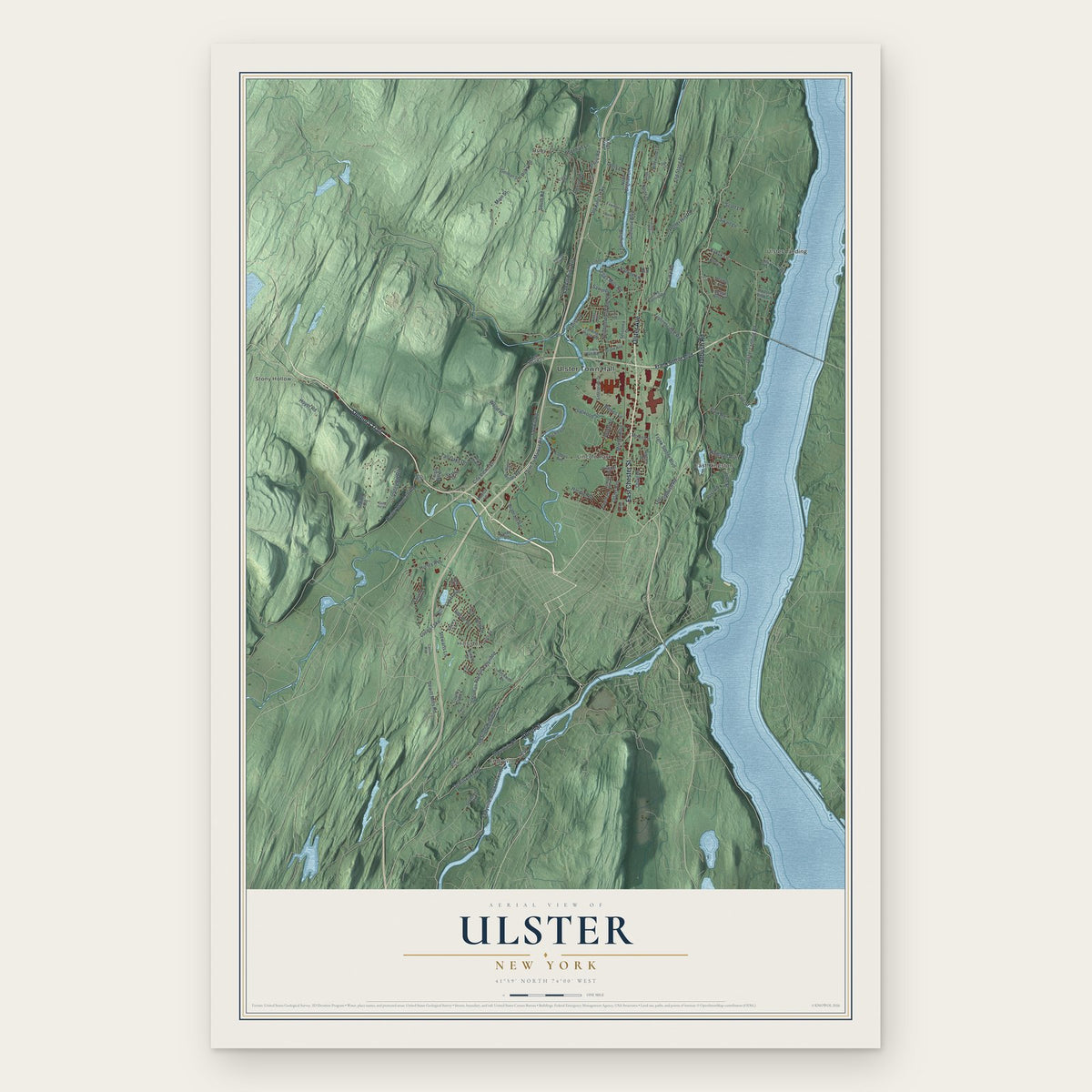
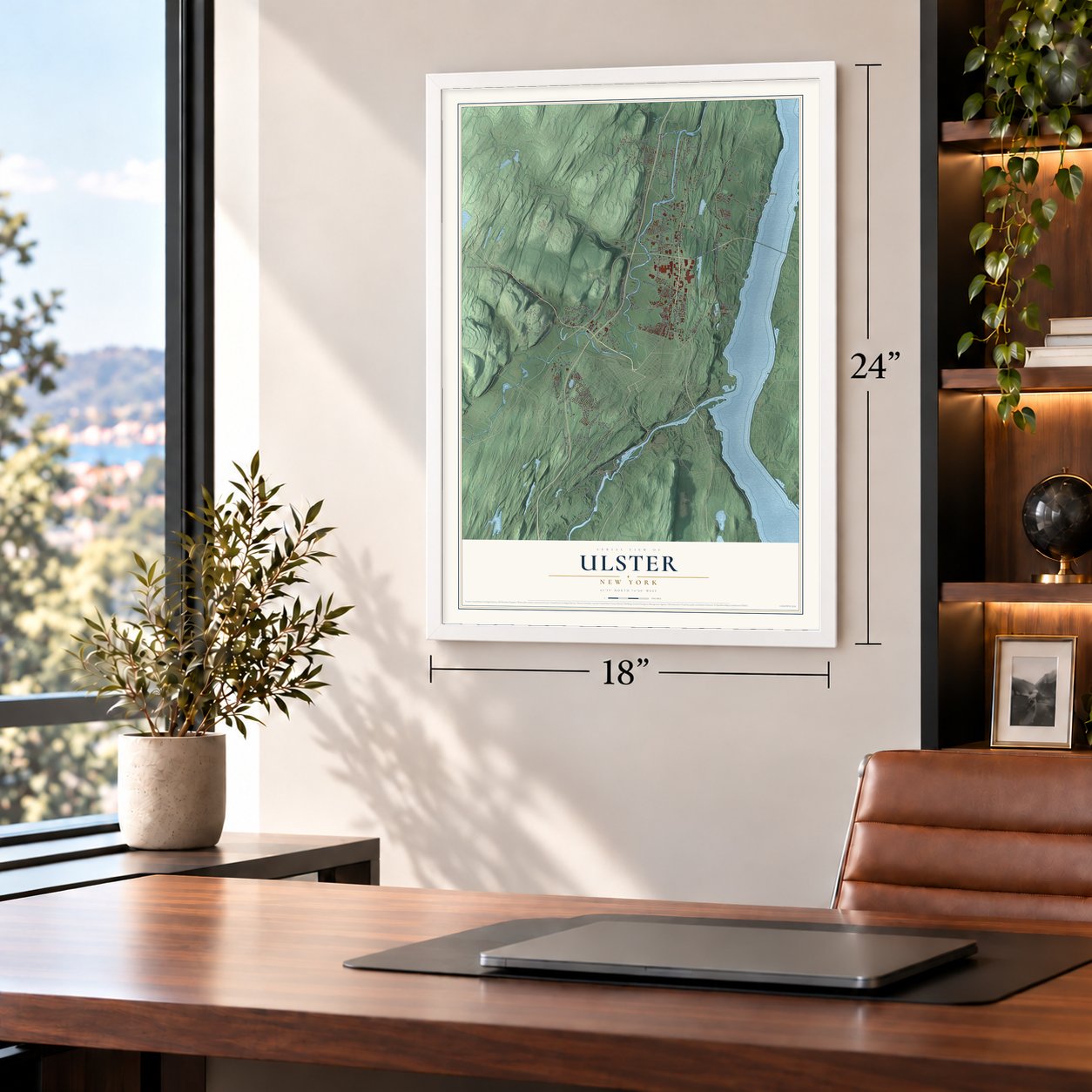
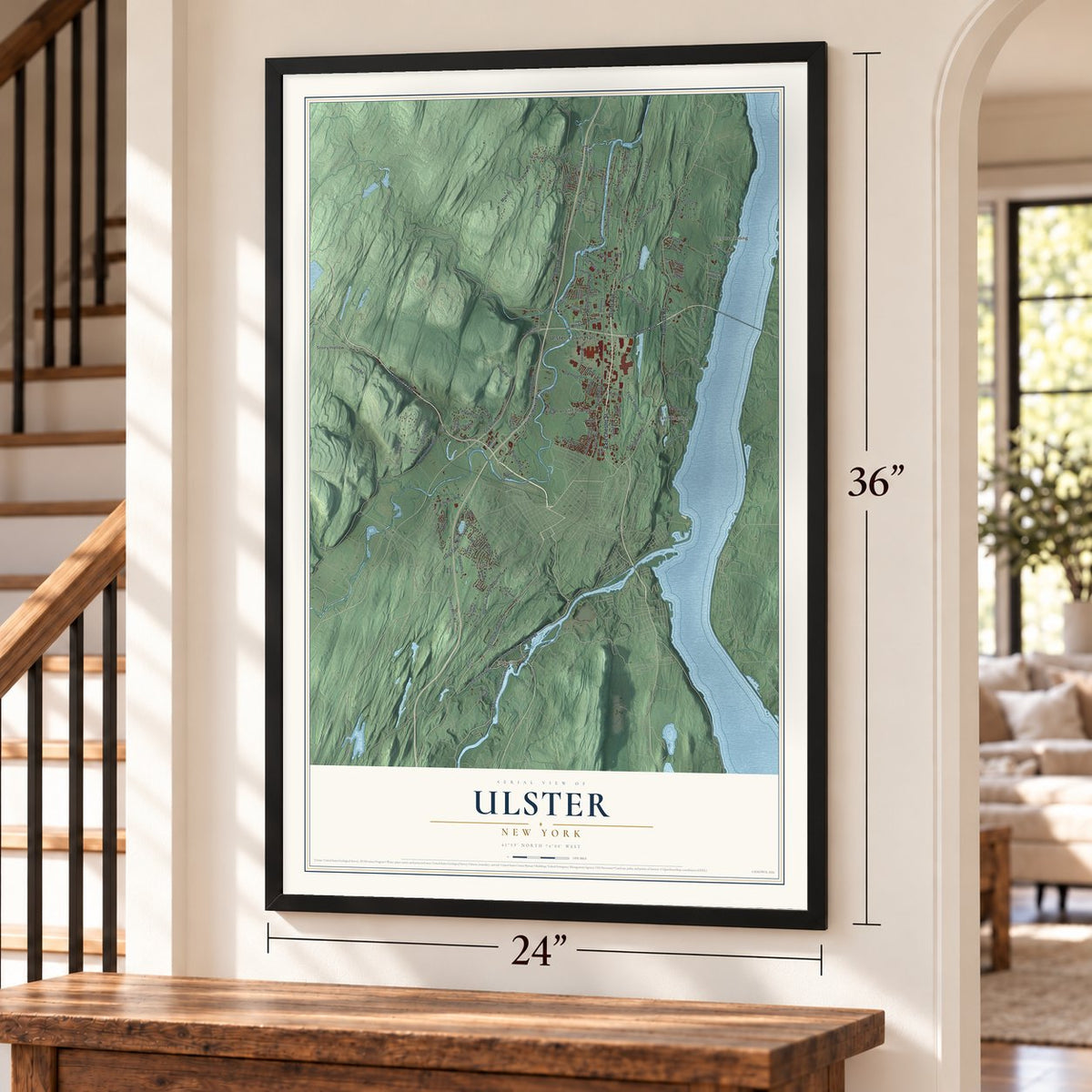
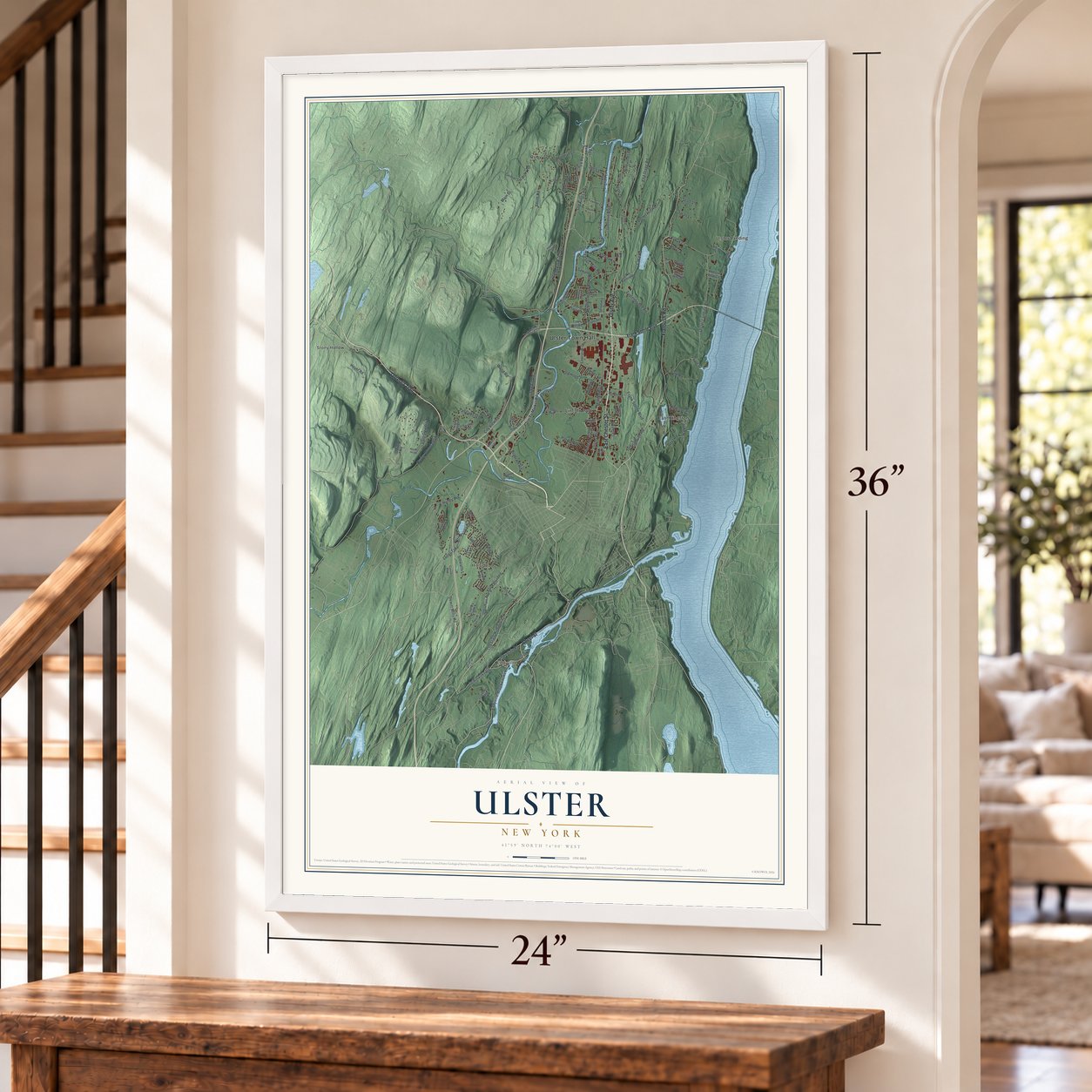
Ulster, New York Map Art
Building by building, with labeled streets and shaded relief.
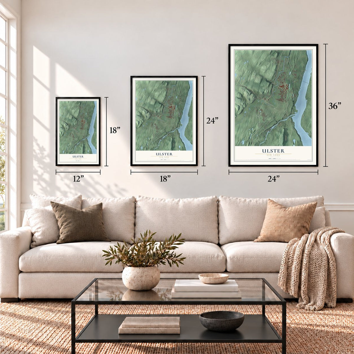
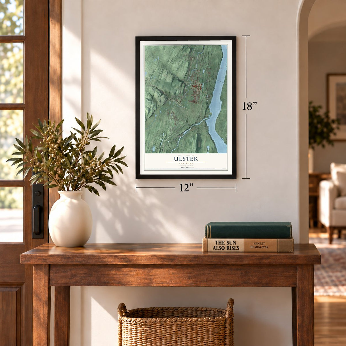
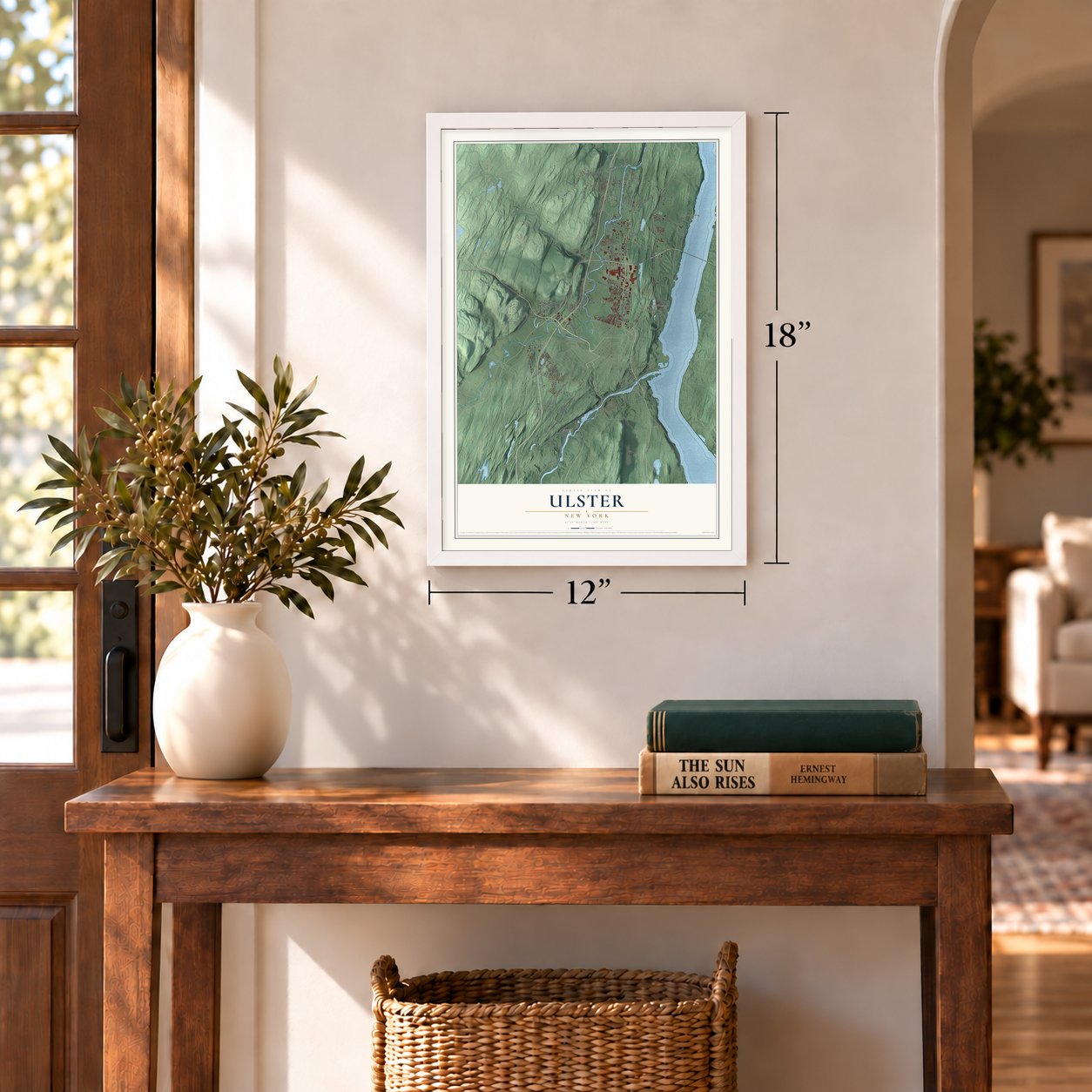
12" x 18" Archival Matte Print
A Map of Home. A Work of Art.
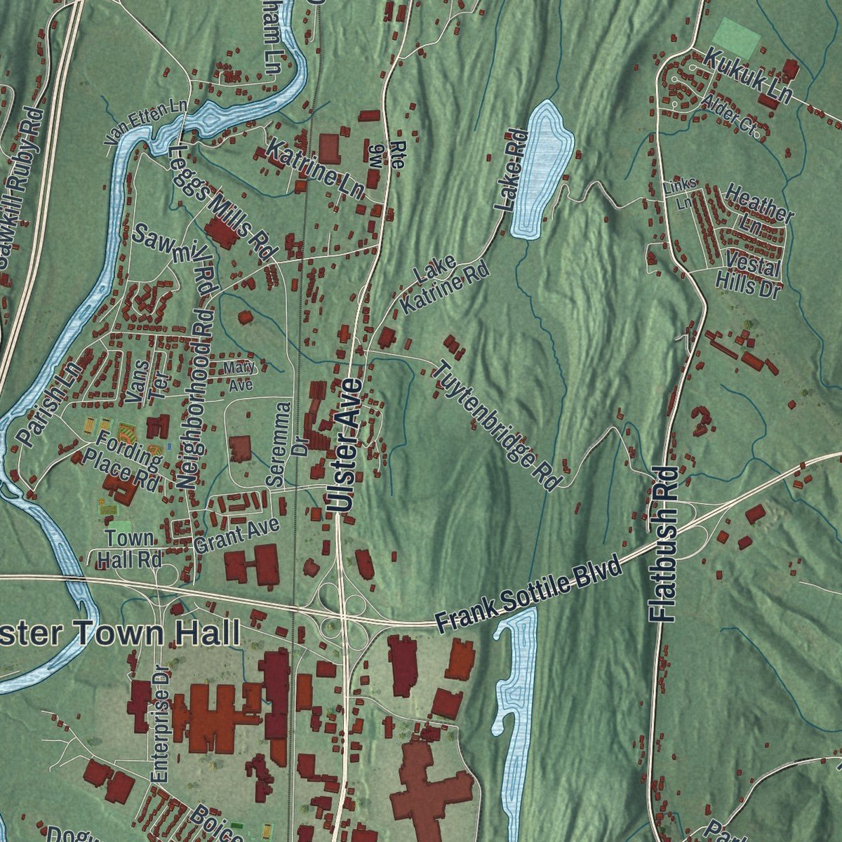
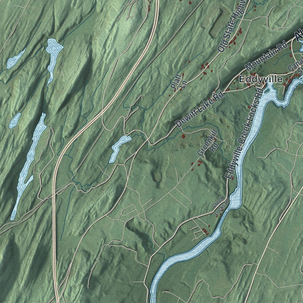
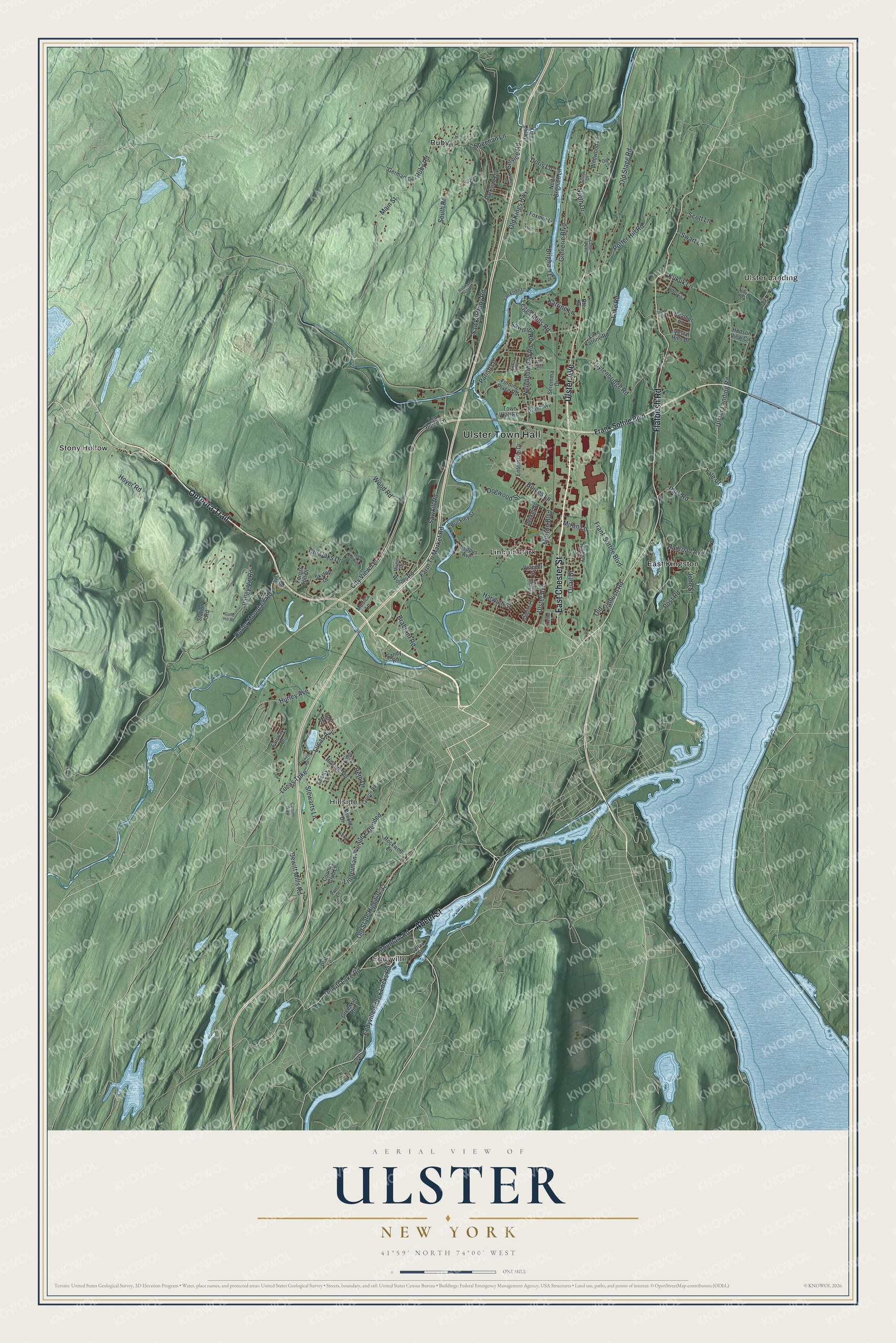
Explore Ulster, New York from a whole new perspective. Created using aerial imagery and detailed geographic data, this map captures Ulster building by building, with labeled streets, familiar landmarks, and shaded topographical relief that highlights the natural contours of the landscape.
Combining modern data with the timeless character of a vintage atlas, this map is just as interesting up close as it is beautiful on the wall. Whether you grew up in Ulster, spent memorable years there, or call it home today, this unique map is a great way to celebrate a place that means something to you. Zoom in on the preview to look for your street, and then order a print to put your memories on the wall.
Three ways to hang it
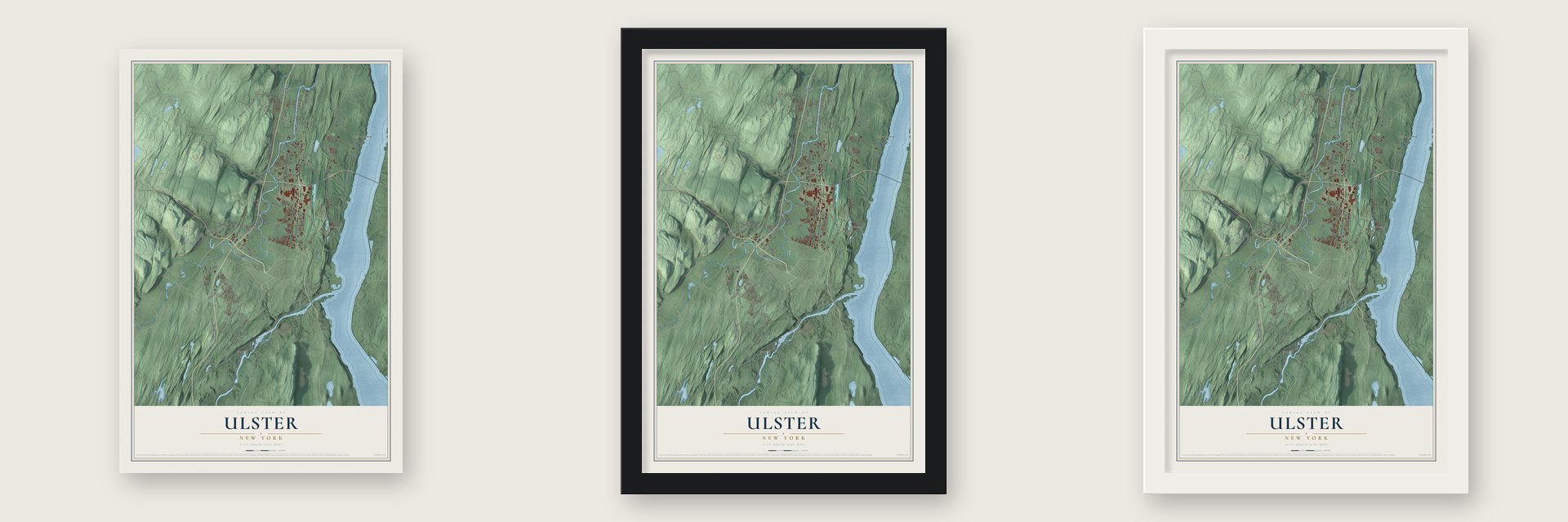
Unframed archival matte, a black wood frame or a white wood frame.
Up close
Geography Worth Displaying
This map was created using accurate cartographic data and authoritative geographic sources, including the U.S. Geological Survey (USGS) and FEMA. The map brings together terrain, waterways, roads, and building detail. The majority of the streets are labeled, houses are accurately depicted, and the topography is derived from government sources. Combining local data with carefully composed color and shading leads to this beautifully detailed Ulster artwork for your wall.
Rather than simply showing street outlines, we’ve included as many of the street names as we could reasonably fit on the map while keeping their names legible. Zoom in on the high resolution preview to see exactly what’s on the map. We truly set out to create a statement piece for anyone who loves Ulster. So whether it’s for you, or a gift for someone you love, we hope this map of Ulster brings back fond memories.
Explore the full map of Ulster, New York and read about the local places it shows.

Find your street
Names on the Ulster map
Every name below is printed on this map. Look for your street, your school, the park where you played, or the pond down the road.
Places and landmarks8
- Ulster Town Hall
- East Kingston
- Eddyville
- Hillside
- Lincoln Park
- Ruby
- Stony Hollow
- Ulster Landing
Streets and roads128
- Abeel Street
- East Chester Street
- Ulster Avenue
- Flatbush Road
- Onteora Trail
- Eddyville-Creek Locks Road
- Mountain Road
- Sawkill Ruby Road
- Old Kings Highway
- Beth Drive
- Neighborhood Road
- Sheehan Lane
- Lake Road
- Main Street
- Ulster Landing Road
- Sawkill Road
- Old Stage Road
- Ruby Road
- Frank Sottile Boulevard
- Potter Hill Road
- Glenerie Boulevard
- Farm To Market Road
- Leggs Mills Road
- City View Terrace
- Tuytenbridge Road
- Wood Road
- South Road
- North Drive
- Linderman Avenue Extended
- Hurley Mountain Road
Show all 128 streets
- Old State Highway 32
- Sawmill Road
- Old Flatbush Road
- Parish Lane
- Lucas Avenue
- Post Road
- Lucas Turnpike
- Dewitt Mills Road
- Dewitt Lake Road
- Kukuk Lane
- Harwich Street
- Katrine Lane
- Valley Vw Road
- Brigham Lane
- Boices Lane
- Park Road
- John Street
- Hoyer Road
- Dogwood Street
- Swart Lane
- Morton Boulevard
- Stewarts Lane
- Brabrant Road
- Hurley Avenue
- Railroad Avenue
- Service Road
- Miron Lane
- Tall Oaks Drive
- Quail Drive
- Yale Court
- Scott Lane
- Doris Lane
- Canal Street
- Seremma Drive
- Grant Avenue
- Riseley Street
- Town Hall Road
- Esopus Avenue
- Woods Road
- Lake Katrine Road
- Forest Hill Drive
- Hillside Terrace
- Enterprise Drive
- Fording Place Road
- Sherry Lane
- Station Road
- Arnold Drive
- Rockwell Lane
- Greenkill Road
- Foxmor Lane
- Parkside Drive
- Wildwood Lane
- German Street
- Skytop Drive
- North Brigham Lane
- Lem Boice Lane
- Buckley Street
- Country Club Lane
- Vestal Hills Drive
- Decker Street
- Fairway Drive
- Heather Lane
- Hudson View Circle
- Sandy Road
- Vans Terrace
- Vincent Street
- Modica Lane
- Golf Terrace
- Kings Highway
- Platt Lane
- Lynette Road
- Magic Drive
- Canimi Way
- Keifer Lane
- Van Etten Lane
- Plainfield Street
- Robin Lane
- South Drive
- Alder Court
- Cross Road
- Oak Lane
- Putt Lane
- Lincoln Park Place
- Old Route 28
- Kerry Lane
- Creek Locks Road
- Gallis Hill Road
- Elisa Landi Drive
- Eastern Parkway
- Hallihans Hill Road
- Bogert Lane
- Esther Place
- Maxwell Road
- Mary Avenue
- Beach Road
- Lena Lane
- Links Lane
- Terra Road
Names are listed as they appear on the printed map. Zoom into the product photos to find them.
About Ulster, New York
Ulster is a town of 12,660 people in Ulster County, just north of Kingston, with the Hudson River as its eastern edge. It is the youngest of the county's twenty towns. The Ulster County Board of Supervisors carved it out of the town of Kingston on November 28, 1879, as a protest against what many saw as political misrule by Kingston's town officials, and the state legislature soon approved the move.
The new town held its first meeting on March 2, 1880, at George A. Stoddard's hotel, and James Myer Jr. became its first supervisor. Ulster started with about 27.5 square miles, and the split hit Kingston hard. Ulster took the canal lock at Eddyville, the icehouses and brickyards along the Hudson, the farms on the Saugerties Road and the mill sites on the Esopus Creek.
“Finding a centrum or hub around which the township could unite was virtually impossible as it was little more than a collection of hamlets bound together by only a legislative act.”
- Eddyville and the canalEddyville takes its name from George Eddy, a mill owner whose family ran two mills on the Rondout, one spinning cotton and one cutting lumber. The Delaware and Hudson Canal ended at a lock here, and the canal trade made Eddyville a busy hamlet and the new town's economic center.
- Flatbush became East KingstonThe Esopus people, part of the Lenape, first named this place, and the Dutch later called it "Vlakke Basch." Cement works, ice houses and brickyards grew up here, making it the town's second most important hamlet after Eddyville. Rider Park and Post Park now sit on old brickyard land.
- Lake Katrine and RubyLake Katrine, home of the town hall, is named for the nearby lake, once called Auntrens Pond, and the land around it was first known as Pine Bush. Ruby, settled by Dutch and German families, made its living mostly by quarrying bluestone.
- IBM after World War IIUlster stayed mostly rural and agricultural until the years after World War II, when IBM opened its Kingston facility. Housing developments, new schools and other businesses followed, and the town came to be called the business hub of Ulster County.
- A 21-year-old supervisorIn 1999 Lisa Groppuso, a Democrat who had served four two-year terms as town clerk, became Ulster's first woman supervisor. In 2005 voters chose Nicky B. Woerner, then 21, the youngest town supervisor ever elected in New York State, and gave the town its first Democratic town board.
Keep exploring New York
Ulster is one of 2,165 New York towns we've mapped. Every dot on the map is a print of its own.
The search covers every state, New York first.
Near Ulster
Order 2 or more town maps and save 10%. Shown in the size and finish you picked above, so they hang as a set.
- Lincoln Park 12" x 18" / Archival Matte Print $39.99
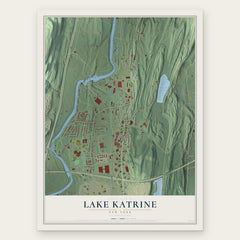
- Lake Katrine 12" x 18" / Archival Matte Print $39.99
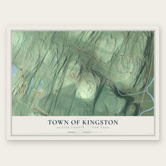
- Town of Kingston 12" x 18" / Archival Matte Print $39.99
More maps nearby: East Kingston, City of Kingston, Ruby, Hillside and Barrytown.
The art of mapping a place
How This Map Was Made
Real places. Remarkable detail. Discover the layers that turn geographic data into a map of home.

The view from above
Aerial imagery reveals the character of the land: woodland, open fields, and the patterns of a place.

The shape of the land
Elevation data brings hills, valleys, and subtle changes in the landscape into view.

The details of home
Roads, waterways, and building footprints come together to make the map feel unmistakably local.

Geography becomes art
Considered color, shading, and typography bring the layers together in a map made for your wall.


Process illustrated with Mendon, Massachusetts. Aerial imagery: USDA NAIP. Terrain: USGS 3D Elevation Program. Map details and finished artwork: KNOWOL.
The Details
About This Print
Choose an archival matte print, or a black or white Ayous wood frame. The archival matte print is unframed.
Select your size and finish above to see the matching product image and price.
Materials & Craftsmanship
A contemporary map with the character of a classic atlas, printed on archival matte paper. Optional frames are made from Ayous wood.
Your printed map does not include the watermark shown in the full-map preview.
Shipping & Delivery
Free shipping within the United States. Every print is made to order in the USA.
Buying a gift? Add a note in your cart and we'll include it. We never put prices in the package.
Prints ship within 2 to 3 business days. Allow 7 to 10 days total from ordering for delivery. Timing may vary during holidays or periods of high order volume.
Read our shipping policy.
Returns and damaged prints
Each print is made to order. Change-of-mind refunds are not available after production.
If your print arrives damaged, misprinted or incorrect, contact support@knowol.com within 30 days of receiving it. Include your order number, photos and a description of the issue.
Read our full refund and replacement policy. For questions about your order, email support@knowol.com.