
Search for another town

Free U.S. delivery 7 to 10 days after you order
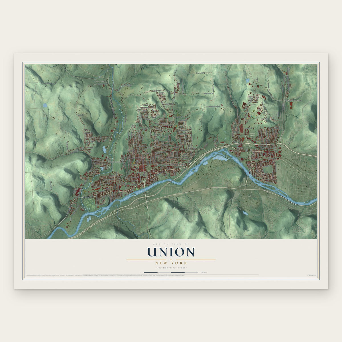
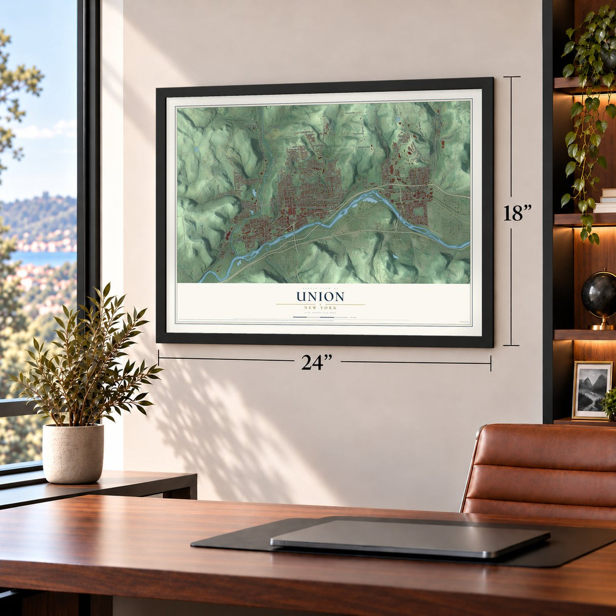
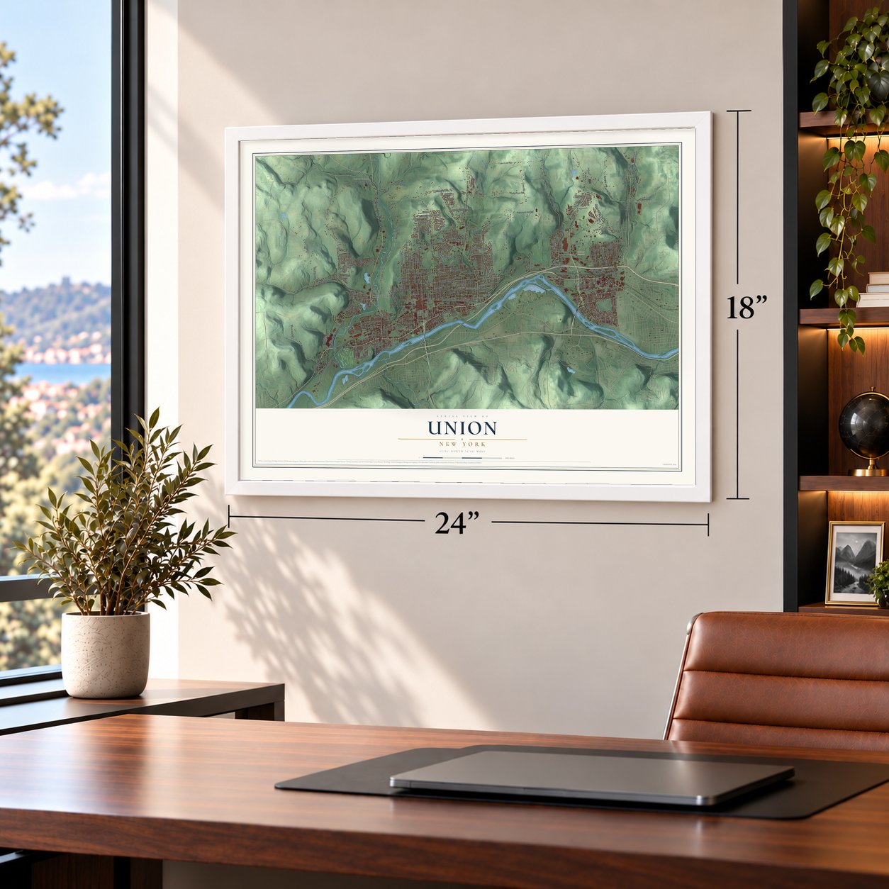
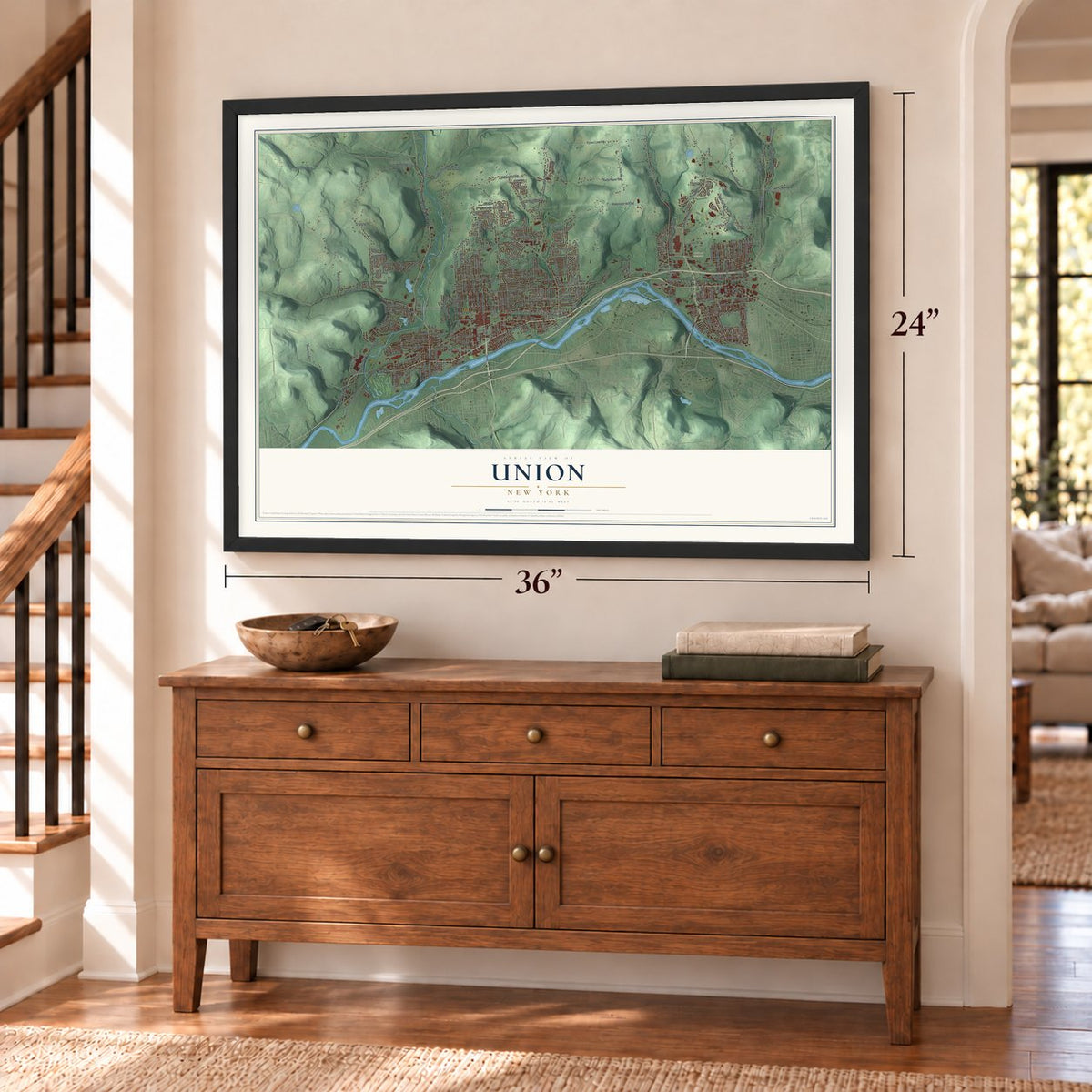
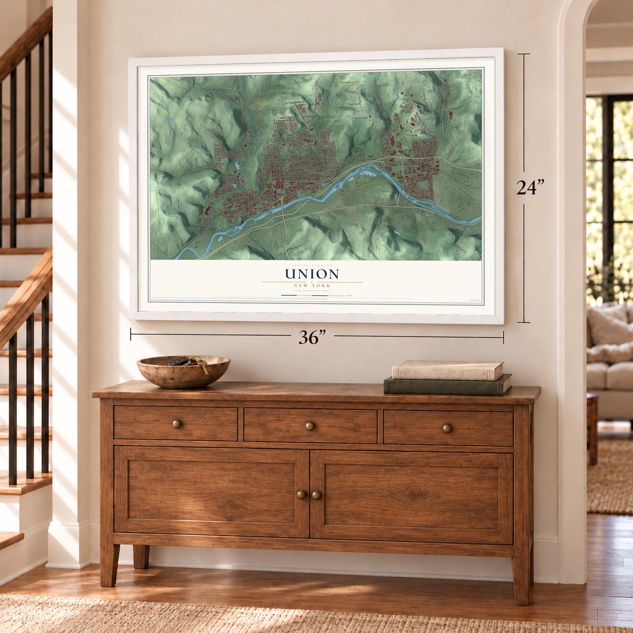
Union, New York Map Art
Building by building, with labeled streets and shaded relief.
12" x 18" Archival Matte Print
A Map of Home. A Work of Art.
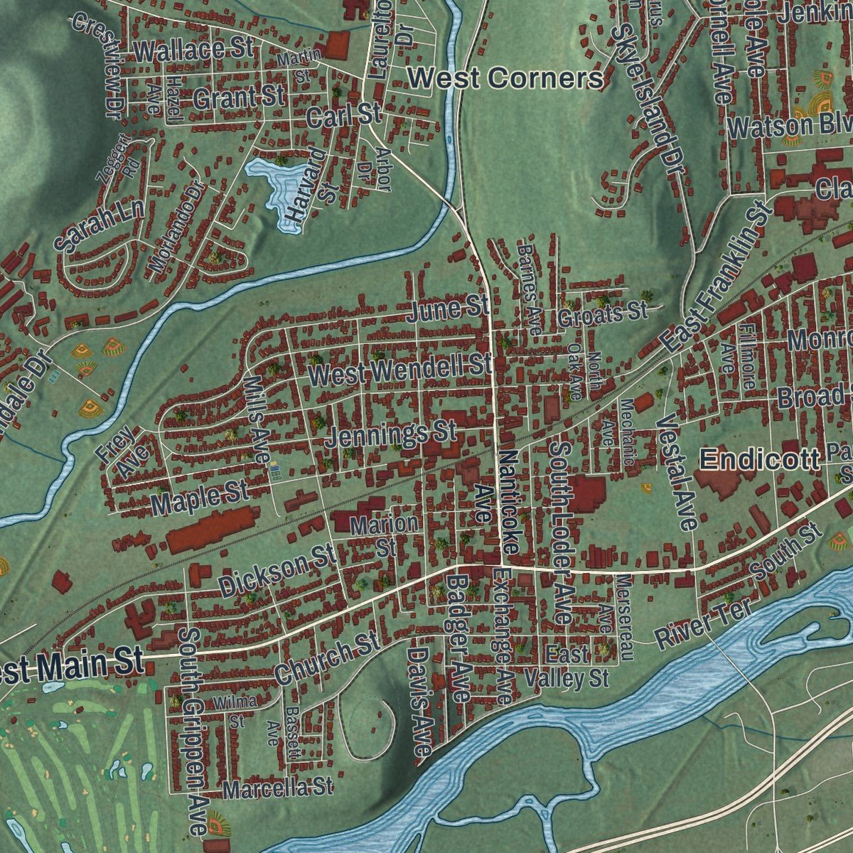
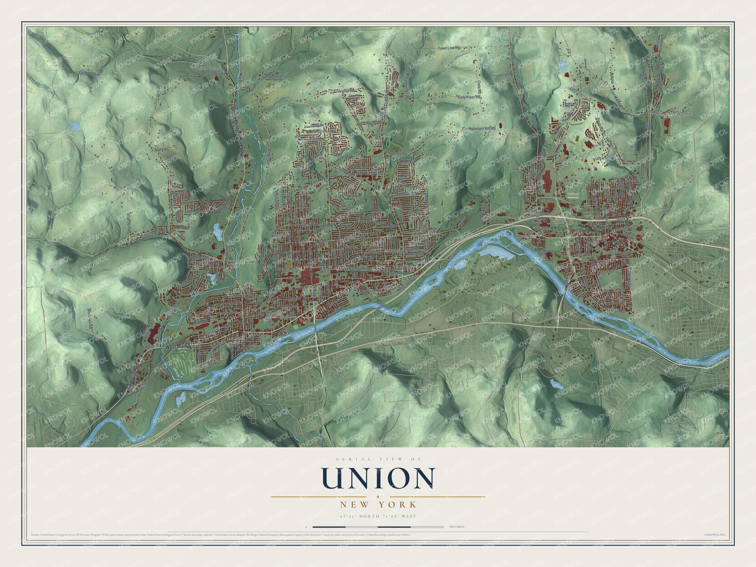
Explore Union, New York from a whole new perspective. Created using aerial imagery and detailed geographic data, this map captures Union building by building, with labeled streets, familiar landmarks, and shaded topographical relief that highlights the natural contours of the landscape.
Combining modern data with the timeless character of a vintage atlas, this map is just as interesting up close as it is beautiful on the wall. Whether you grew up in Union, spent memorable years there, or call it home today, this unique map is a great way to celebrate a place that means something to you. Zoom in on the preview to look for your street, and then order a print to put your memories on the wall.
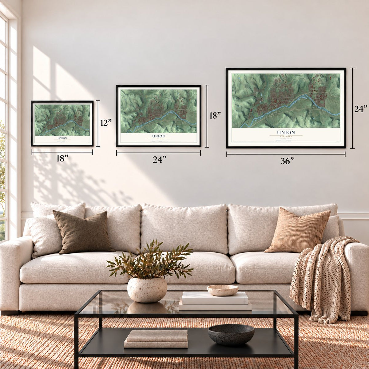
Three ways to hang it
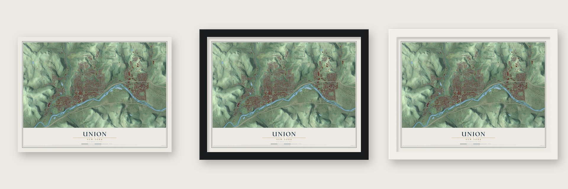
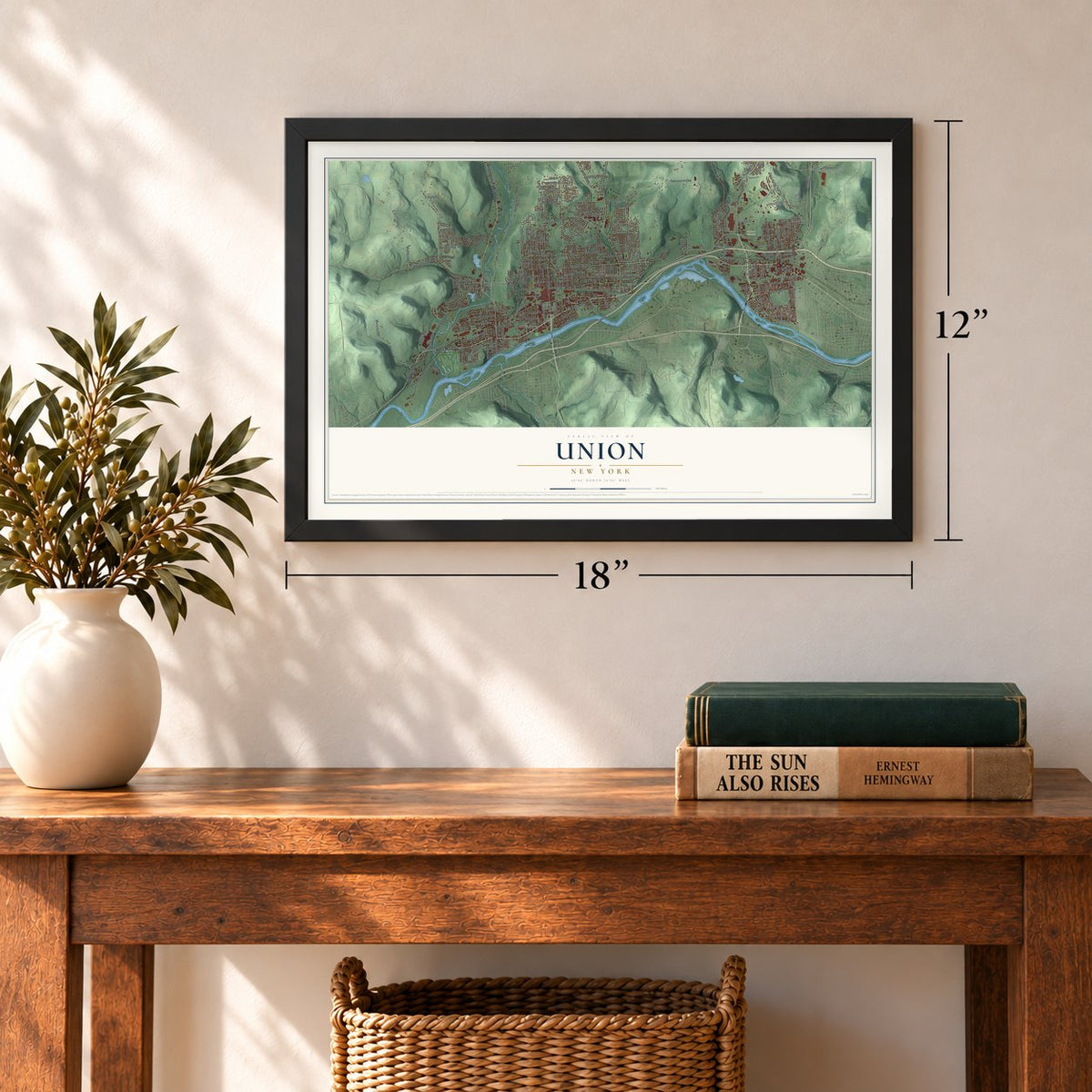
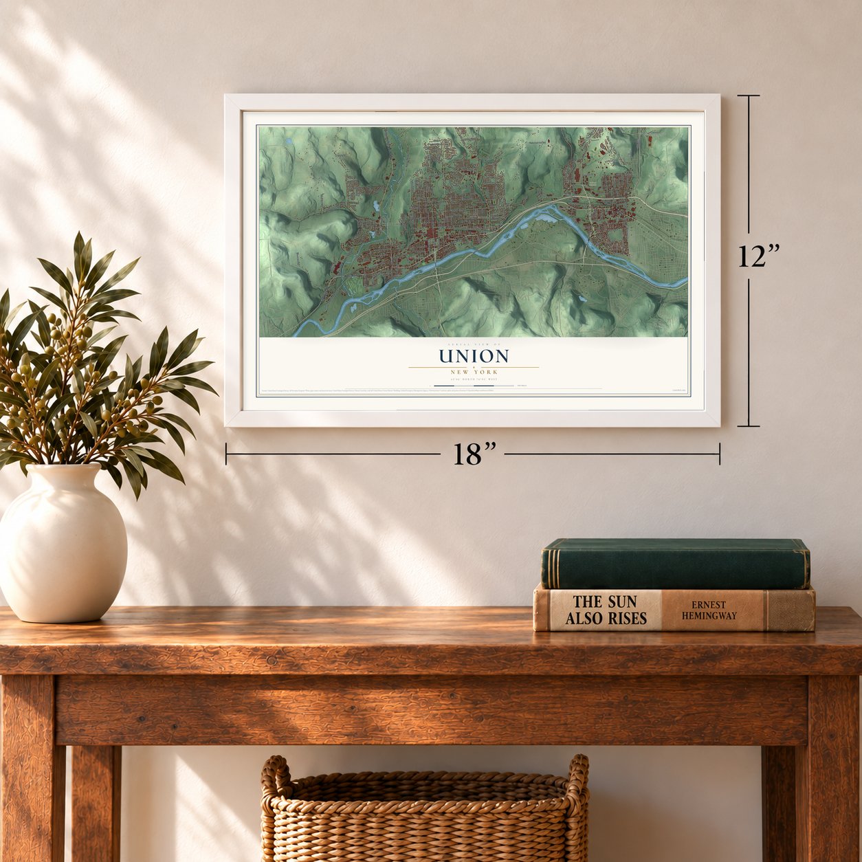
Unframed archival matte, a black wood frame or a white wood frame.
Up close
Geography Worth Displaying
This map was created using accurate cartographic data and authoritative geographic sources, including the U.S. Geological Survey (USGS) and FEMA. The map brings together terrain, waterways, roads, and building detail. The majority of the streets are labeled, houses are accurately depicted, and the topography is derived from government sources. Combining local data with carefully composed color and shading leads to this beautifully detailed Union artwork for your wall.
Rather than simply showing street outlines, we’ve included as many of the street names as we could reasonably fit on the map while keeping their names legible. Zoom in on the high resolution preview to see exactly what’s on the map. We truly set out to create a statement piece for anyone who loves Union. So whether it’s for you, or a gift for someone you love, we hope this map of Union brings back fond memories.
Explore the full map of Union, New York and read about the local places it shows.
Find your street
Names on the Union map
Every name below is printed on this map. Look for your street, your school, the park where you played, or the pond down the road.
Places and landmarks9
- Town of Union Office Building
- Choconut Center
- Johnson City
- Union Center
- Westover
- Calvary Cemetery
- Endicott
- Endwell
- West Corners
Streets and roads286
- East Main Street
- Union Center Maine Highway
- Main Street
- Campville Road
- West Main Street
- Country Club Road
- Hayes Avenue
- Holly Lane
- Nanticoke Drive
- Farm To Market Road
- North McKinley Avenue
- Perimeter Road East
- Watson Boulevard
- Robinson Hill Road
- Boswell Hill Road
- Reynolds Road
- Oakdale Road
- Airport Road
- Taft Avenue
- North Street
- Hooper Road
- Day Hollow Road
- Twist Run Road
- Columbia Drive
- East Maine Road
- Bean Hill Road
- Riverside Drive
- Town Line Road
- Oak Hill Avenue
- Hill Avenue
Show all 286 streets
- Glendale Drive
- Bornt Hill Road
- Deyo Hill Road
- Sally Piper Road
- Case Road
- Struble Road
- Grand Avenue
- Squires Avenue
- Hillside Terrace
- Jenkins Street
- Middle Stella Ireland Road
- Smith Drive
- Industrial Park Boulevard
- Irving Avenue
- Ethel Street
- West Wendell Street
- Pine Street
- Argonne Avenue
- Leon Drive
- Fairview Street
- Prescott Avenue
- June Street
- Skye Island Drive
- Adams Avenue
- Arthur Avenue
- Milan Avenue
- Buffalo Street
- Burbank Avenue
- Summit Street
- Corliss Avenue
- Monroe Street
- River Terrace
- East Franklin Street
- Village Drive
- Robins Street
- Jennings Street
- Margaret Street
- Cummings Road
- Riverview Drive
- Southern Pines Drive
- Floral Avenue
- River Road
- Debonair Drive
- Pheasant Lane
- Maple Street
- Broad Street
- Hall Street
- Vestal Avenue
- Dickson Street
- Hoover Avenue
- Kot Road
- Wilson Avenue
- Grant Street
- Rhodes Road
- King Street
- South Grippen Avenue
- Virginia Avenue
- Davis Avenue
- Clark Street
- Tracy Street
- Carl Street
- North Harrison Street
- Lester Avenue
- South Loder Avenue
- Myrtle Avenue
- Badger Avenue
- Byford Boulevard
- Robble Avenue
- Jay Street
- Cornell Avenue
- Boland Drive
- North Broad Street
- Bradley Creek Road
- Elton Drive
- Utica Street
- Sarah Lane
- Church Street
- Garfield Avenue
- Lott Street
- Schuyler Street
- Rath Avenue
- Pleasant Drive
- Anna Maria Drive
- Pearl Street
- Albany Avenue
- Newell Road
- Ford Road
- Felicia Boulevard
- Wildwood Drive
- Hamilton Drive
- Neal Road
- Clearview Drive
- Taylor Avenue
- Payne Road
- Avon Street
- Chrysler Road
- Sunset Drive
- Winston Drive
- Verna Drive
- Brown Street
- Lowell Drive
- Arch Street
- Camelot Road
- Nelson Road
- Talan Drive
- Wallace Street
- Richard Street
- Shale Drive
- Academy Street
- Allen Street
- Oday Drive
- Baker Street
- Eagle Drive
- Shady Drive
- Anne Lane
- Marie Street
- Jon Lane
- Elliott Street
- Ivy Place
- Echo Lane
- Oak Street
- Cook Street
- Leigh Street
- Eric Drive
- McKinley Avenue
- Northwood Drive
- Valley Plaza
- Odell Avenue
- Yale Street
- Broas Road
- Perimeter Road West
- North Rogers Avenue
- Ackley Avenue
- Valleyview Drive
- Jackson Avenue
- Valley Street
- Hudson Street
- Willow Street
- North Arthur Avenue
- Cornell Hollow Road
- Carrie Ann Drive
- Donna Avenue
- Forest Road
- Lee Avenue
- Lower Stella Ireland Road
- Lee Circle
- Norton Avenue
- Rose Lane
- Foxboro Lane
- Marcella Street
- Union Street
- Mills Avenue
- Miner Circle
- Anson Road
- Park Street
- South Street
- Exchange Avenue
- Arnold Drive
- Pratt Avenue
- Groveland Avenue
- Dimmock Hill Road
- Crestview Drive
- Paul Street
- Country Knoll Drive
- Bernard Boulevard
- Endicott Avenue
- Laurelton Drive
- Harvard Street
- Orchard Avenue
- East Valley Street
- Wren Street
- Olive Street
- Clarence Drive
- Groats Street
- Carol Court
- Edson Road
- Royal Road
- Cyndy Street
- Frey Avenue
- Oscar Terrace
- Marion Street
- Simon Drive
- Placek Drive
- Azon Road
- Riale Avenue
- Bernice Street
- Joel Drive
- West Street
- La Rue Avenue
- David Drive
- Farr Avenue
- Kirk Road
- Fifth Street
- Betty Street
- Mill Gln
- Burt Avenue
- Nanticoke Avenue
- Zoa Avenue
- Alexander Street
- Endwell Street
- Ventura Boulevard
- Frazier Drive
- Gabriella Avenue
- Harpur Drive
- Andrews Avenue
- Saint Charles Street
- Penna Road
- Morlando Drive
- Barton Avenue
- Camden Street
- Hazel Avenue
- Cyprus Lane
- Barnes Avenue
- Dedrick Avenue
- Mersereau Avenue
- Gannett Drive
- Argyle Drive
- Fillmore Avenue
- Williams Street
- Service Road
- Elmira Street
- Jennifer Lane
- Arbor Drive
- Briar Lane
- Alice Avenue
- First Street
- Lewis Road
- Zeggert Road
- Martin Street
- Phyllis Street
- Laguna Drive
- Bassett Avenue
- Delaware Avenue
- Wilma Street
- Pinewood Place
- Kevin Boulevard
- North Oak Avenue
- Airport Access Road
- Fowler Avenue
- Shelby Street
- Carlton Street
- Partridge Place
- Skylane Terrace
- Field Street
- Dellapenna Drive
- Springview Drive
- Plaza Drive
- Mechanic Avenue
- Metz Avenue
- Lindburgh Street
- Theron Street
- Dewitt Street
- Ashton Court
- Birch Street
- Enid Place
- Fourth Street
Names are listed as they appear on the printed map. Zoom into the product photos to find them.
About Union, New York
Union is a town of 56,138 people in Broome County, on the north side of the Susquehanna River just west of Binghamton. Two of its villages, Johnson City and Endicott, join Binghamton to make up the Triple Cities.
The town's name goes back to the Revolution. On the morning of August 18, 1779, General Poor's soldiers burned Choconut, a Native American village of 50 to 60 homes near the present town. Later that day General Clinton's troops, who had come down the Susquehanna, met Poor's men at the ruins, and that union gave the town its name. Settlers arrived around 1782, and Union was set up as a town in 1791, when this land still belonged to Tioga County.
- A mother town since 1791Union once covered far more ground than it does now. Other towns were carved from it one by one: in 1800 it gave up Owego, which went by the name Town of Tioga at the time, then Lisle in 1801, Greene in 1808, Vestal in 1823 and Maine in 1848. Greene now lies in Chenango County.
- Endwell was once HooperThe hamlet of Endwell, between Endicott and Johnson City, used to be known as Hooper.
Keep exploring New York
Union is one of 2,165 New York towns we've mapped. Every dot on the map is a print of its own.
The search covers every state, New York first.
Near Union
Order 2 or more town maps and save 10%. Shown in the size and finish you picked above, so they hang as a set.
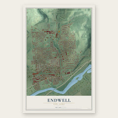
- Endwell 12" x 18" / Archival Matte Print $39.99
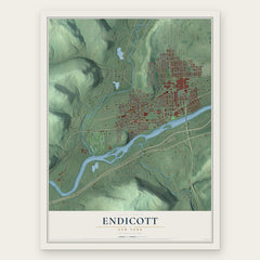
- Endicott 12" x 18" / Archival Matte Print $39.99
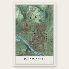
- Johnson City 12" x 18" / Archival Matte Print $39.99
More maps nearby: Binghamton University, Maine, Vestal, Crest View Heights and Dickinson.
The art of mapping a place
How This Map Was Made
Real places. Remarkable detail. Discover the layers that turn geographic data into a map of home.

The view from above
Aerial imagery reveals the character of the land: woodland, open fields, and the patterns of a place.

The shape of the land
Elevation data brings hills, valleys, and subtle changes in the landscape into view.

The details of home
Roads, waterways, and building footprints come together to make the map feel unmistakably local.

Geography becomes art
Considered color, shading, and typography bring the layers together in a map made for your wall.


Process illustrated with Mendon, Massachusetts. Aerial imagery: USDA NAIP. Terrain: USGS 3D Elevation Program. Map details and finished artwork: KNOWOL.
The Details
About This Print
Choose an archival matte print, or a black or white Ayous wood frame. The archival matte print is unframed.
Select your size and finish above to see the matching product image and price.
Materials & Craftsmanship
A contemporary map with the character of a classic atlas, printed on archival matte paper. Optional frames are made from Ayous wood.
Your printed map does not include the watermark shown in the full-map preview.
Shipping & Delivery
Free shipping within the United States. Every print is made to order in the USA.
Buying a gift? Add a note in your cart and we'll include it. We never put prices in the package.
Prints ship within 2 to 3 business days. Allow 7 to 10 days total from ordering for delivery. Timing may vary during holidays or periods of high order volume.
Read our shipping policy.
Returns and damaged prints
Each print is made to order. Change-of-mind refunds are not available after production.
If your print arrives damaged, misprinted or incorrect, contact support@knowol.com within 30 days of receiving it. Include your order number, photos and a description of the issue.
Read our full refund and replacement policy. For questions about your order, email support@knowol.com.