
Search for another town




Free U.S. delivery 7 to 10 days after you order
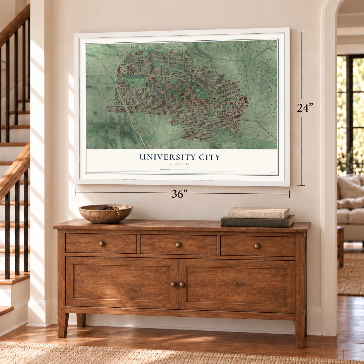
University City, Missouri Map Art
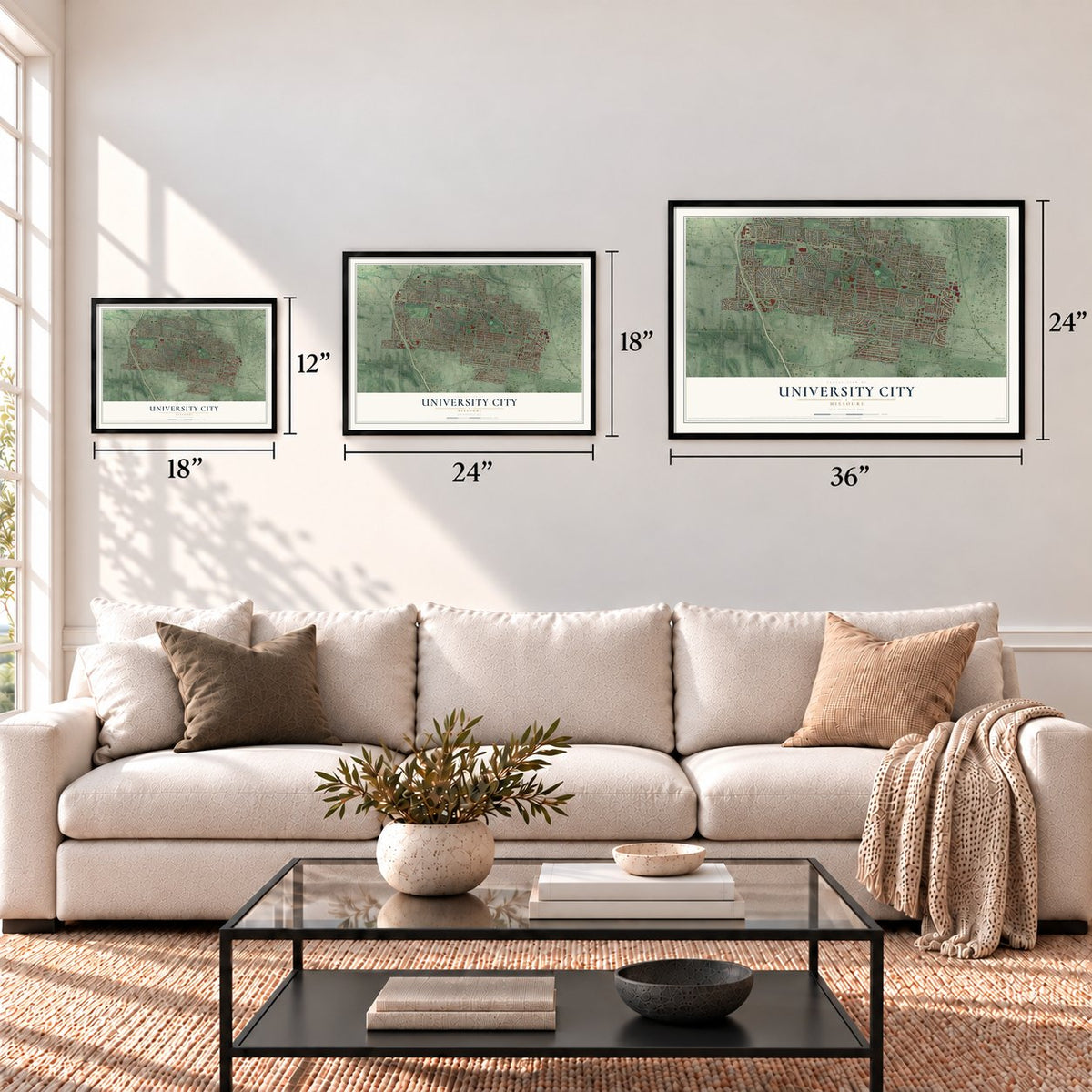
A new map of University City, Missouri, made in 2026 and printed to order on thick archival matte paper.
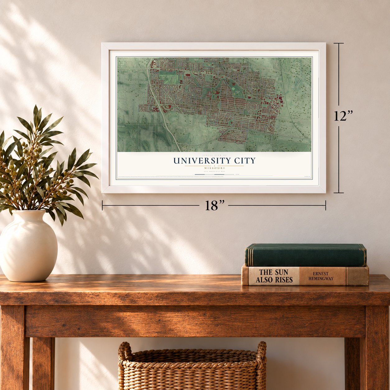
12" x 18" Archival Matte Print
A Map of Home. A Work of Art.
If you grew up near Heman Park or still have family on a street off Delmar Boulevard, this map is for you. It's a modern aerial view with a vintage feel of University City in St. Zoom in on the preview and look for your block.

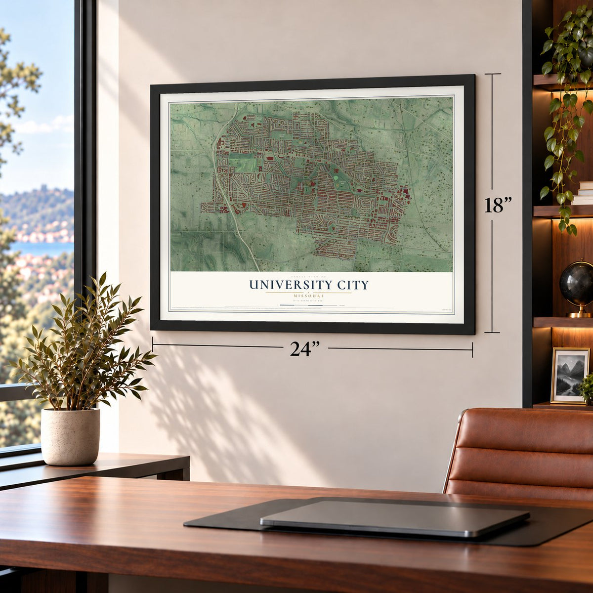
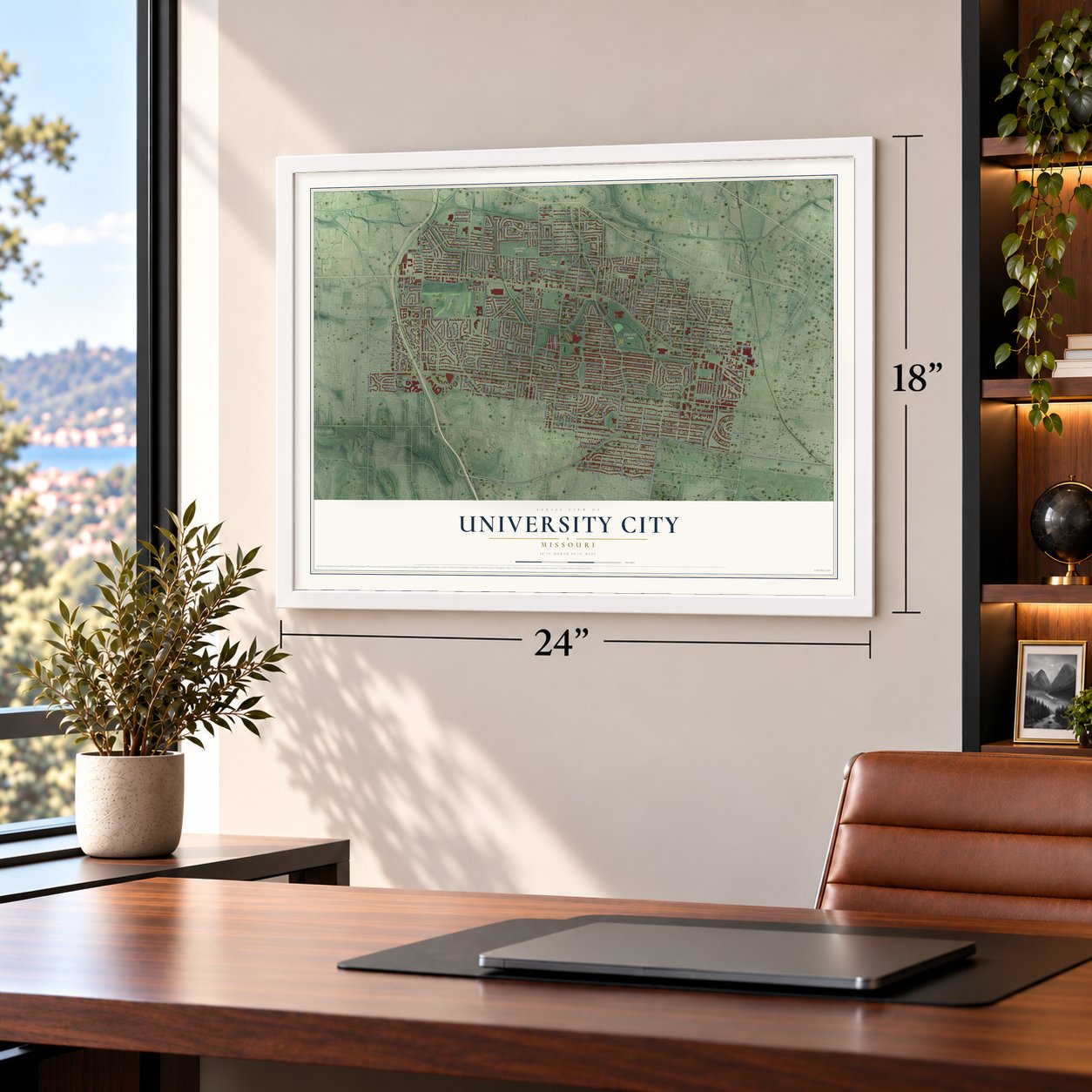
Three ways to hang it
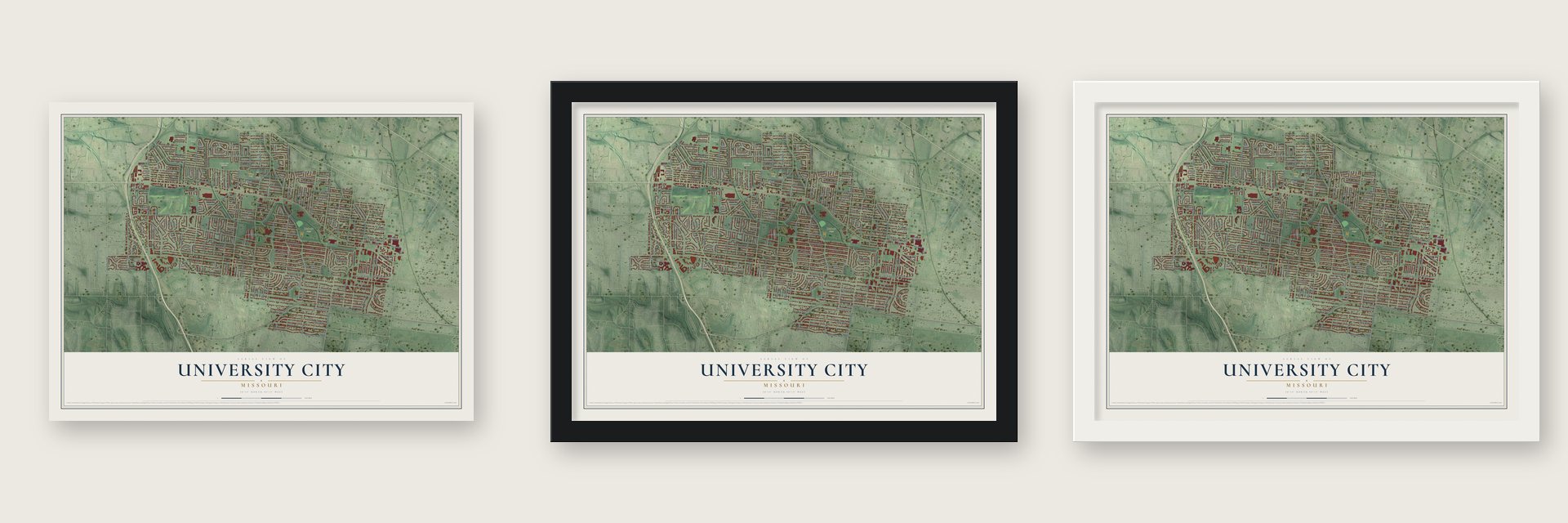
Unframed archival matte, a black wood frame or a white wood frame.
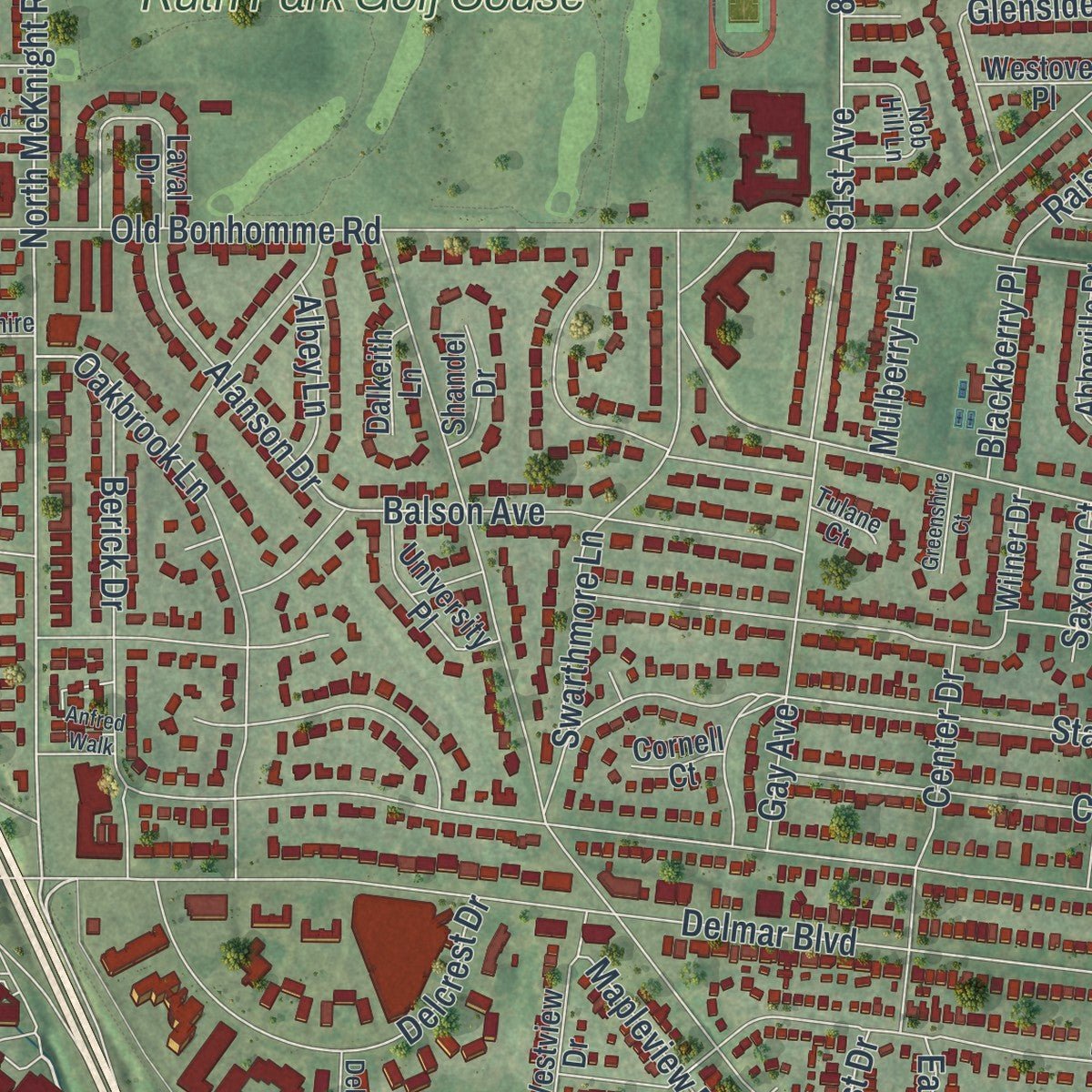
Up close
Real geography. Art worth displaying.
This map was created using accurate cartographic data and authoritative geographic sources, including the U.S. Geological Survey and the Census Bureau. The map brings together terrain, waterways, roads, and building detail. The majority of the streets are labeled, houses are accurately depicted, and the topography is derived from government sources. Combining local data with carefully composed color and shading leads to this beautifully detailed University City artwork for your wall.
Rather than simply showing street outlines, we’ve included as many of the street names as we could reasonably fit on the map while keeping their names legible. Zoom in on the high resolution preview to see exactly what’s on the map. We truly set out to create a statement piece for anyone who loves University City. So whether it’s for you, or a gift for someone you love, we hope this map of University City brings back fond memories.
Read the story behind this map of University City, Missouri from 2026.
Find your street
Names on the University City map
Every name below is printed on this map. Look for your street, your school, the park where you played, or the pond down the road.
Places and landmarks8
- University City City Hall
- Fogerty Park
- Heman Park
- Millar Park
- Mount Olive Cemetery
- Skinker
- Ruth Park Golf Couse
- Brentmoor Park
Streets and roads258
- Balson Avenue
- Forsyth Boulevard
- Lafon Place
- Jackson Avenue
- Midland Boulevard
- Amherst Avenue
- Vernon Avenue
- North McKnight Road
- Northmoor Drive
- Vassar Avenue
- Ahern Court
- Olive Boulevard
- Delmar Boulevard
- Cornell Avenue
- North Hanley Road
- Stanford Avenue
- County Road
- Pershing Avenue
- North And South Boulevard
- North And South Road
- Purdue Avenue
- Canton Avenue
- Kingsbury Boulevard
- Gannon Avenue
- Washington Avenue
- Kingsland Avenue
- North Jackson Avenue
- Old Bonhomme Road
- Teasdale Avenue
- Pennsylvania Avenue
Show all 258 streets
- Shaftesbury Avenue
- Forest Park Parkway
- Melrose Avenue
- Tulane Avenue
- Millbrook Boulevard
- Milan Avenue
- Waterman Avenue
- Dartmouth Avenue
- Westgate Avenue
- Wayne Avenue
- Julian Avenue
- Blackberry Avenue
- Princeton Avenue
- Trenton Avenue
- Etzel Avenue
- Westmoreland Drive
- Ahern Avenue
- Plymouth Avenue
- Groby Road
- Corbitt Avenue
- Chamberlain Avenue
- Drexel Drive
- Maryland Avenue
- Trinity Avenue
- Ferguson Avenue
- Bartmer Avenue
- Appleton Drive
- Purcell Avenue
- Coolidge Drive
- Warder Avenue
- 82nd Boulevard
- University Drive
- Braddock Drive
- Lindell Boulevard
- Swarthmore Lane
- Gay Avenue
- Lynn Avenue
- Carleton Avenue
- Partridge Avenue
- Sutter Avenue
- Wellington Avenue
- Crest Avenue
- Mount Olive Avenue
- Mendell Drive
- Raymond Avenue
- Oakbrook Lane
- Lepere Avenue
- Lepere Street
- Berick Drive
- 66th Street
- Cates Avenue
- Sheridan Drive
- Stratford Avenue
- Woodson Road
- Orchard Avenue
- Yale Avenue
- Quendo Avenue
- Delcrest Drive
- Liberty Avenue
- Richard Avenue
- Melville Avenue
- Waldron Avenue
- Elmore Avenue
- 81st Avenue
- 81st Street
- Lamb Avenue
- North Bemiston Avenue
- Colgate Avenue
- Laughlin Avenue
- Harrison Avenue
- Cambridge Avenue
- West Kingsbury Avenue
- Center Drive
- Harvard Avenue
- Watts Avenue
- Watts Street
- Glenside Place
- Roberts Avenue
- Grant Drive
- Alanson Drive
- Wilshire Avenue
- Meyer Avenue
- Meyer Street
- Fairview Avenue
- Spoon Drive
- Hazelwood Lane
- Eastover Avenue
- Fullerton Avenue
- Vanderbilt Avenue
- Cabanne Avenue
- Asbury Avenue
- Midvale Avenue
- Greenway Avenue
- Hafner Place
- Ursula Avenue
- 78th Street
- Barby Lane
- Willow Tree Lane
- Backer Avenue
- Belrue Avenue
- Westover Avenue
- Mona Drive
- Montreal Drive
- Raisher Drive
- Maple Avenue
- Kempland Place
- Longacre Drive
- George Street
- Linden Avenue
- Carlyle Avenue
- Geoffry Lane
- West Point Court
- Overhill Drive
- Creveling Drive
- Jeanerette Drive
- North Price Road
- Mapleview Drive
- Warren Avenue
- Birchmont Drive
- Columbia Avenue
- Mulberry Lane
- Roth Avenue
- Wellesley Avenue
- Crixdale Avenue
- Blackberry Place
- Dover Court
- Archer Avenue
- Heman Avenue
- Dajoby Lane
- Avalon Avenue
- Albey Lane
- Seville Avenue
- Mission Court
- Hafner Court
- How Avenue
- Vaughan Drive
- Donne Avenue
- Colby Avenue
- East Drive
- Blancha Drive
- Saxony Court
- Rabe Drive
- 79th Street
- West Drive
- Center Avenue
- Bartmer Industrial Drive
- North Big Bend Boulevard
- Leland Avenue
- Williams Avenue
- Wilson Avenue
- Dorset Avenue
- Mount Vernon Avenue
- Alfred Avenue
- Park Way Drive
- Abbeville Drive
- Westview Drive
- North Central Avenue
- University Place
- Arcadia Avenue
- Midland Drive
- Varsity Walk
- Paramount Drive
- Camden Court
- Morehouse College Lane
- Westmont Place
- Kingdel Drive
- Byers Industrial Court
- Sadler Avenue
- Hawthorne Place
- Laughren Drive
- Syracuse Avenue
- White Oak Lane
- Fairham Avenue
- Peach Tree Lane
- Lyndale Avenue
- Putter Lane
- Burch Lane
- Pratt Avenue
- Rushmore Drive
- Shandel Drive
- Remley Court
- Duke Drive
- Wilner Drive
- Mayflower Court
- Morgan Avenue
- Westover Place
- Anrose Drive
- Alta Dena Court
- Lions Gate Drive
- Dalkeith Lane
- Elene Avenue
- Moore Avenue
- Hays Avenue
- Laval Drive
- Barkley Square
- Elmore Court
- Cornell Court
- Anna Avenue
- Ross Avenue
- Erith Avenue
- Backer Street
- Radcliffe Avenue
- North Drive
- Briarwood Lane
- Nob Hill Lane
- Annandale Drive
- East Parkedge Lane
- Brookshire Lane
- South Big Bend Boulevard
- Midland Vw
- Delcrest Court
- Richard Court
- Noel Court
- Del Lin Drive
- Briscoe Place
- Tulane Court
- Gerst Avenue
- West Canterbury Road
- Eastmont Place
- Anfred Walk
- Greensfelder Lane
- Burr Oak Lane
- Greenshire Court
- Rowland Drive
- Teasdale Court
- Saleen Court
- Nixon Avenue
- Limit Avenue
Names are listed as they appear on the printed map. Zoom into the product photos to find them.
The art of mapping a place
How This Map Was Made
Real places. Remarkable detail. Discover the layers that turn geographic data into a map of home.

The view from above
Aerial imagery reveals the character of the land: woodland, open fields, and the patterns of a place.

The shape of the land
Elevation data brings hills, valleys, and subtle changes in the landscape into view.

The details of home
Roads, waterways, and building footprints come together to make the map feel unmistakably local.

Geography becomes art
Considered color, shading, and typography bring the layers together in a map made for your wall.


Process illustrated with Mendon, Massachusetts. Aerial imagery: USDA NAIP. Terrain: USGS 3D Elevation Program. Map details and finished artwork: KNOWOL.
The Details
About This Print
Choose an archival matte print, or a black or white Ayous wood frame. The archival matte print is unframed.
Select your size and finish above to see the matching product image and price.
Materials & Craftsmanship
A contemporary map with the character of a classic atlas, printed on archival matte paper. Optional frames are made from Ayous wood.
Your printed map does not include the watermark shown in the full-map preview.
Shipping & Delivery
Free shipping within the United States. Every print is made to order in the USA.
Buying a gift? Add a note in your cart and we'll include it. We never put prices in the package.
Prints ship within 2 to 3 business days. Allow 7 to 10 days total from ordering for delivery. Timing may vary during holidays or periods of high order volume.
Read our shipping policy.
Returns and damaged prints
Each print is made to order. Change-of-mind refunds are not available after production.
If your print arrives damaged, misprinted or incorrect, contact support@knowol.com within 30 days of receiving it. Include your order number, photos and a description of the issue.
Read our full refund and replacement policy. For questions about your order, email support@knowol.com.
Find your town
Looking for another city?
Find a map of home in our Missouri collection, or any town in the country.
Nearby
Maps of towns near University City
Know someone from one of these towns? Their map makes a great gift.
 Hanley Hills
, Missouri
From $39.99See the map
 Clayton
, Missouri
From $39.99See the map
 Pagedale
, Missouri
From $39.99See the map
More maps nearby: Vinita Park, Wellston, Greendale, Bel-Nor and Richmond Heights.