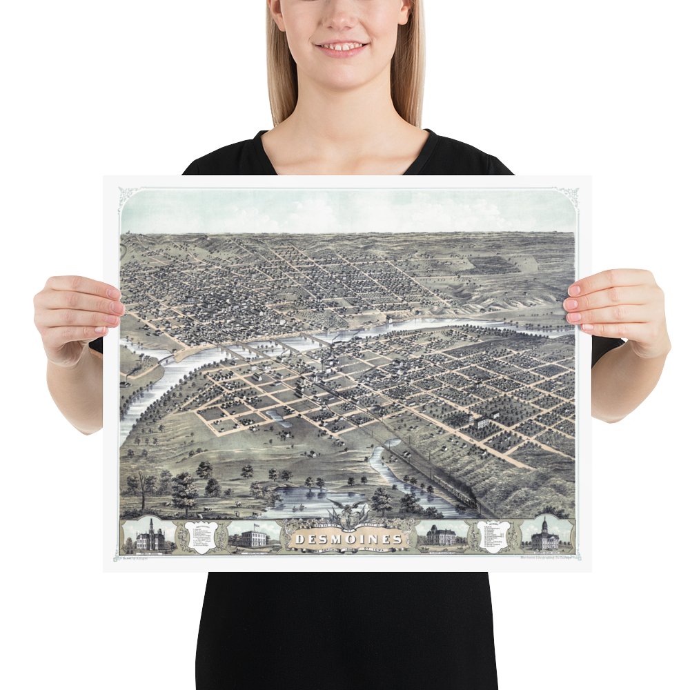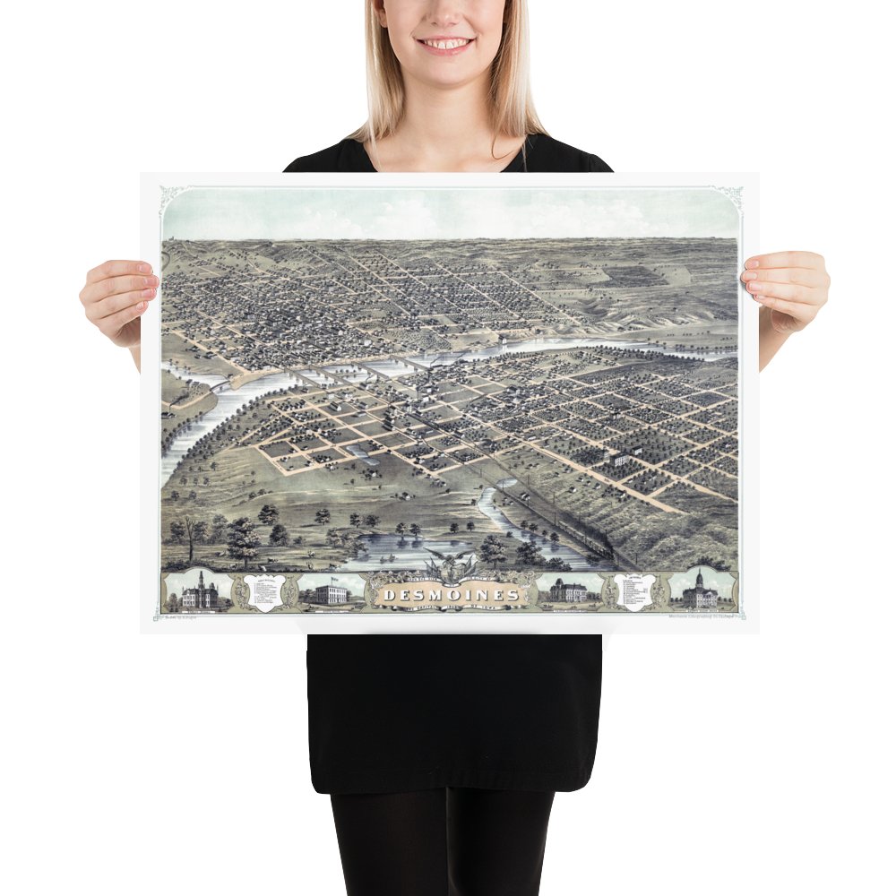

Vintage Map of Des Moines, Iowa from 1868: Restored Reproduction
$35.00
A statement in any room, each reproduction is printed on museum quality, archival paper and features a restored version of an old map of Des Moines from 1868.
This vintage map of Des Moines, Iowa was created in 1868 by Albert Ruger, a prominent 19th-century map maker. The map shows a bird's eye view of Des Moines as it once was, including street names and old landmarks.
Click "Add to Cart" to proceed to safe and secure checkout via PayPal, Visa, MasterCard, Discover, American Express, Amazon, Google, or Apple Pay.
In stock, ready to ship

Vintage Map of Des Moines, Iowa from 1868: Restored Reproduction
16″×20″
$35.00
