
Search for another town



Free U.S. delivery 7 to 10 days after you order
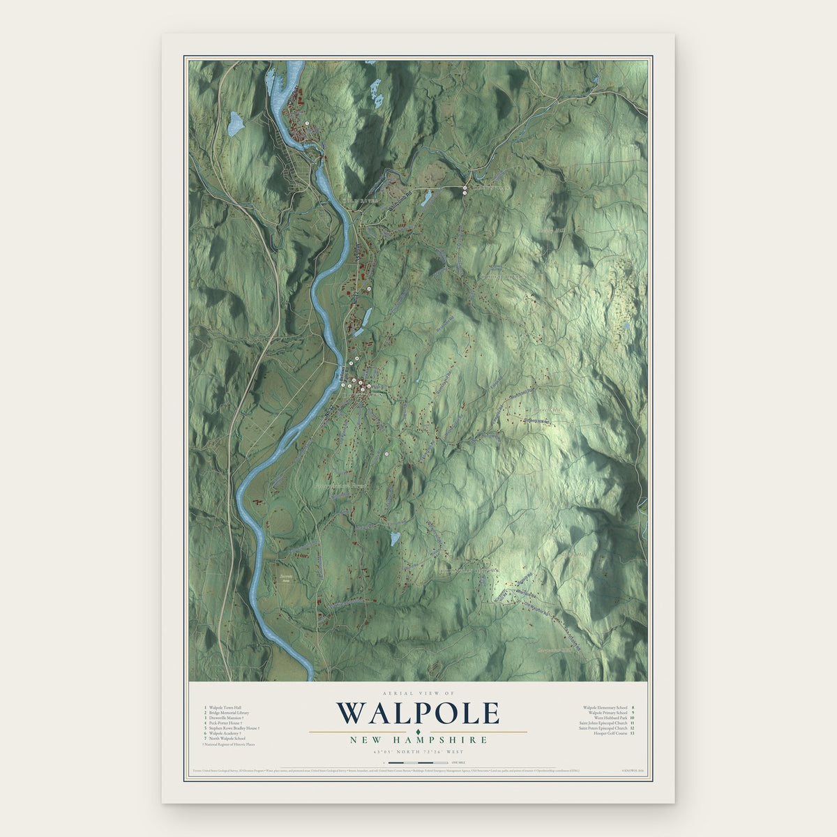
Walpole, New Hampshire Map Art
Building by building, with labeled streets and shaded relief.
12" x 18" Archival Matte Print
A Map of Home. A Work of Art.
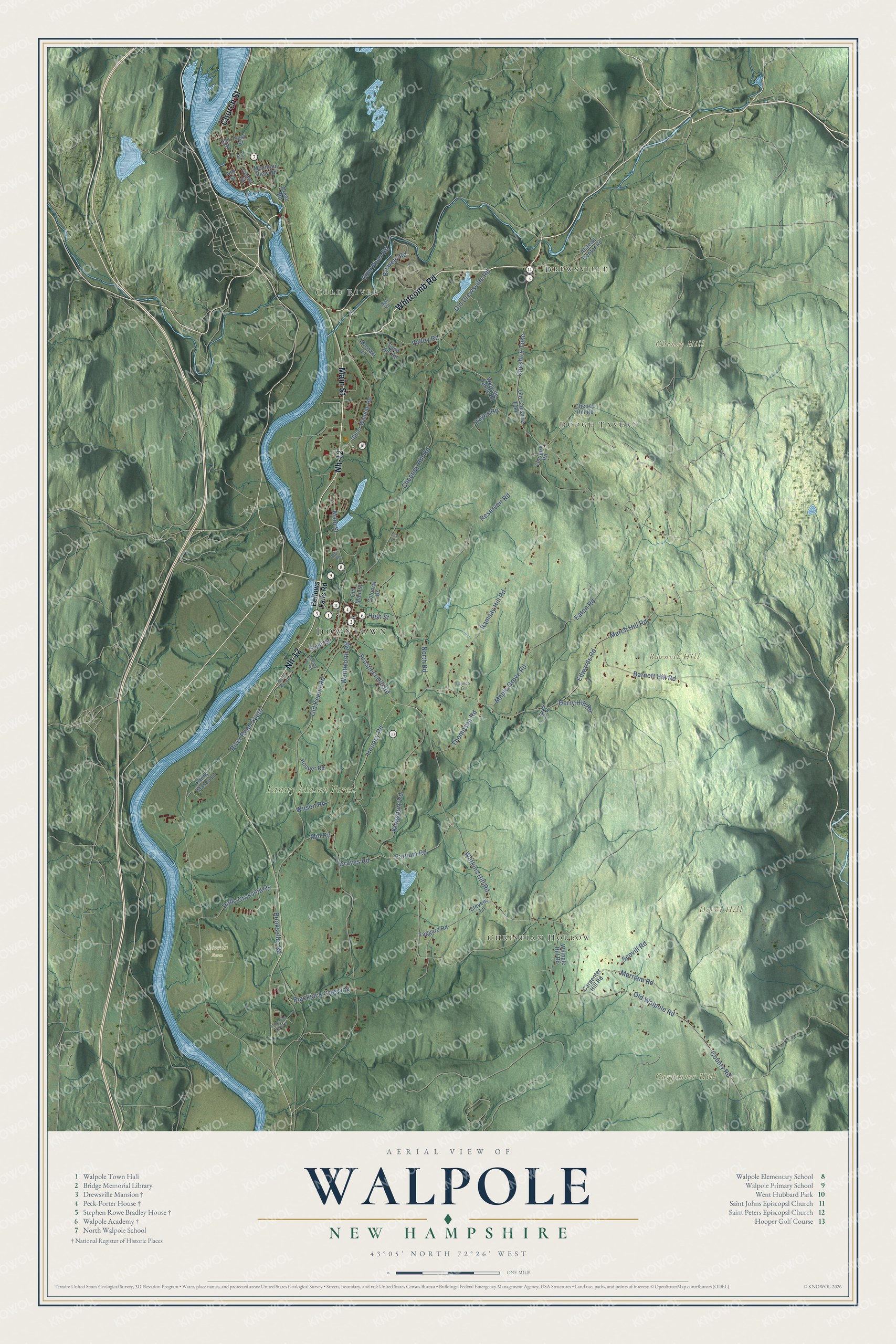
Explore Walpole, New Hampshire from a whole new perspective. Created using aerial imagery and detailed geographic data, this map captures Walpole building by building, with labeled streets, familiar landmarks, and shaded topographical relief that highlights the natural contours of the landscape.
Combining modern data with the timeless character of a vintage atlas, this map is just as interesting up close as it is beautiful on the wall. Whether you grew up in Walpole, spent memorable years there, or call it home today, this unique map is a great way to celebrate a place that means something to you. Zoom in on the preview to look for your street, and then order a print to put your memories on the wall.
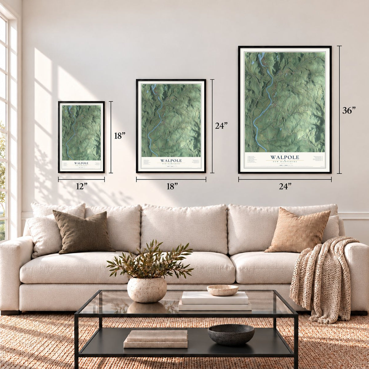
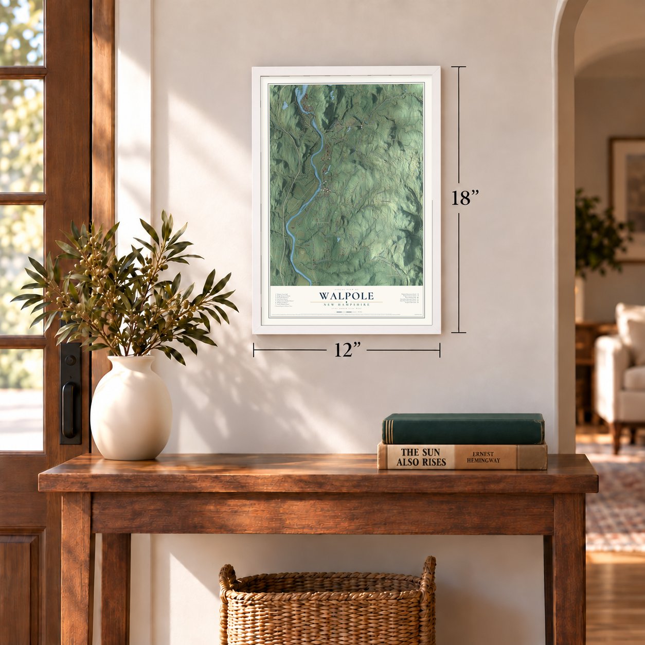
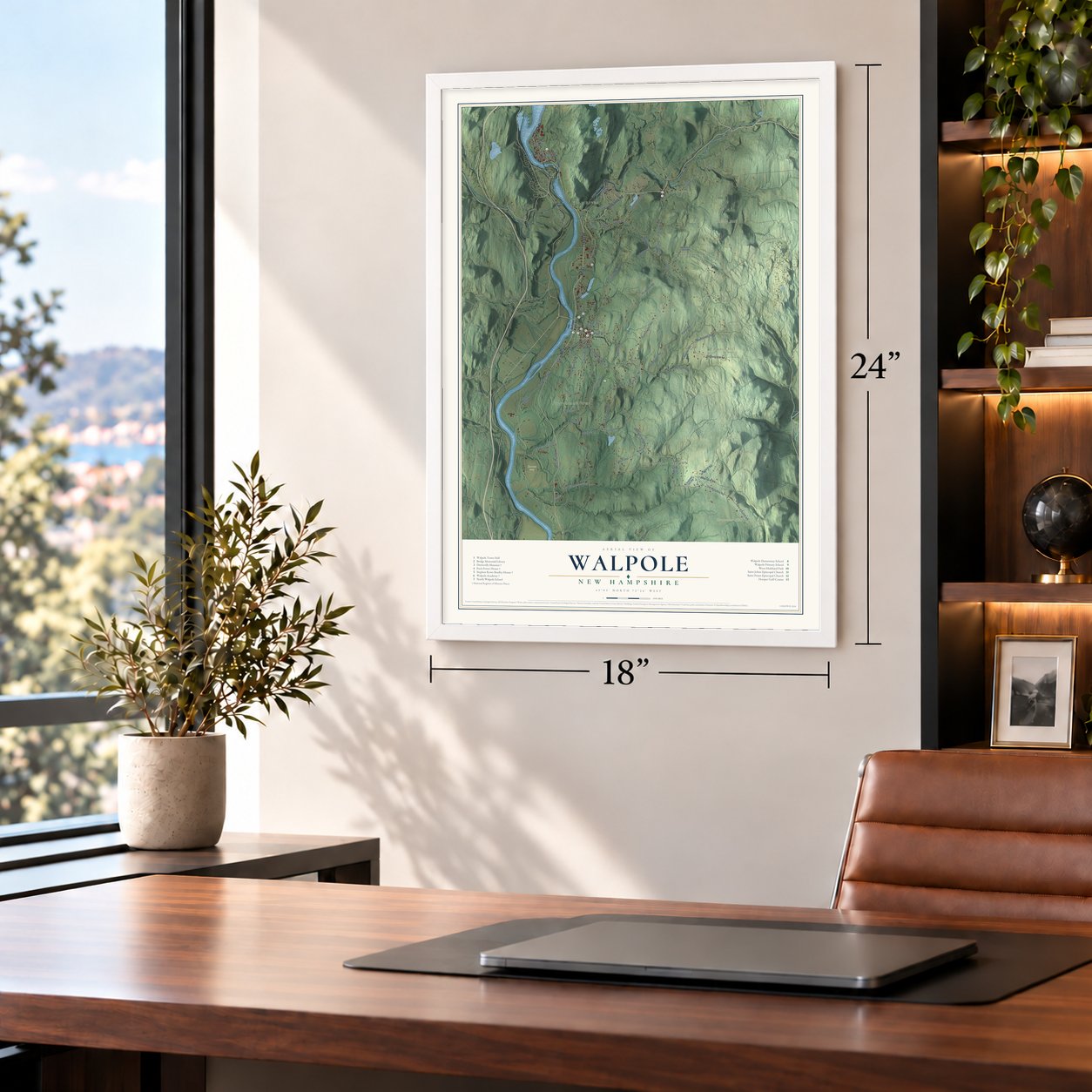
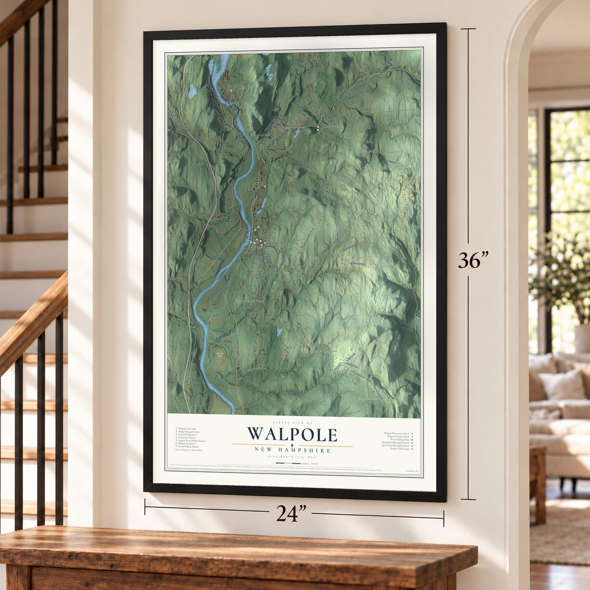
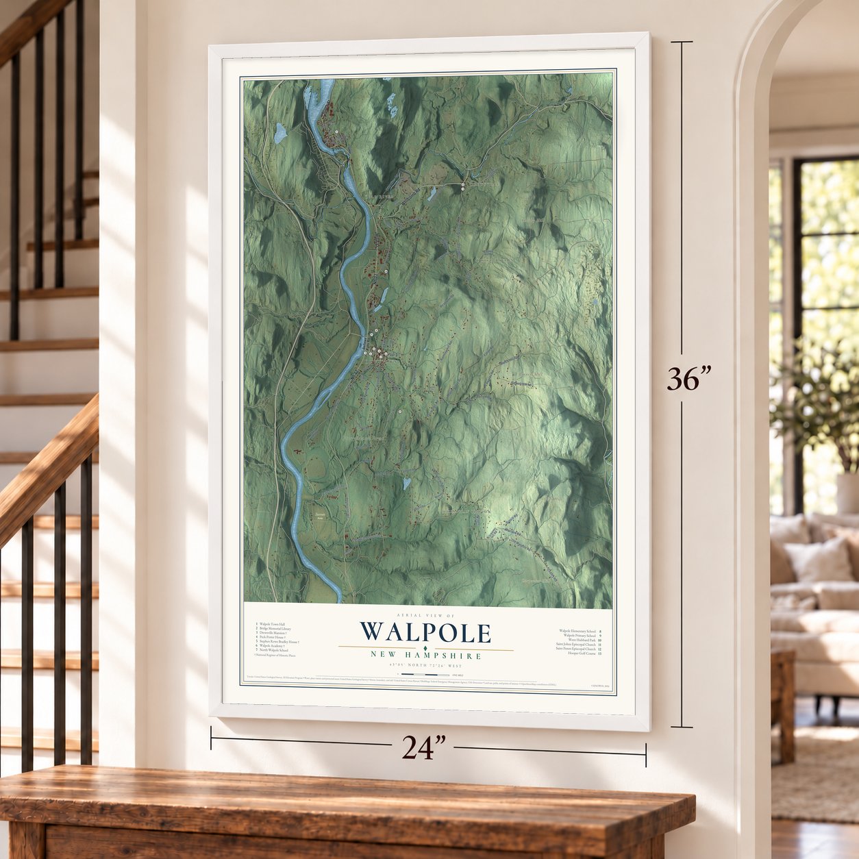
Three ways to hang it
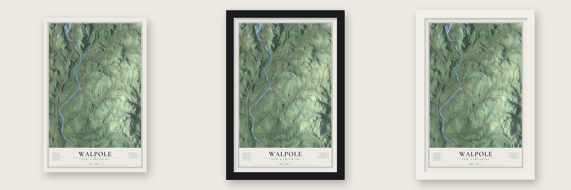
Unframed archival matte, a black wood frame or a white wood frame.
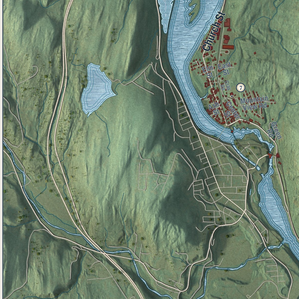
Up close
Geography Worth Displaying
This map was created using accurate cartographic data and authoritative geographic sources, including the U.S. Geological Survey (USGS) and FEMA. The map brings together terrain, waterways, roads, and building detail. The majority of the streets are labeled, houses are accurately depicted, and the topography is derived from government sources. Combining local data with carefully composed color and shading leads to this beautifully detailed Walpole artwork for your wall.
Rather than simply showing street outlines, we’ve included as many of the street names as we could reasonably fit on the map while keeping their names legible. Zoom in on the high resolution preview to see exactly what’s on the map. We truly set out to create a statement piece for anyone who loves Walpole. So whether it’s for you, or a gift for someone you love, we hope this map of Walpole brings back fond memories.
Explore the full map of Walpole, New Hampshire and read about the local places it shows.

Find your street
Names on the Walpole map
Every name below is printed on this map. Look for your street, your school, the park where you played, or the pond down the road.
Places and landmarks11
- Downtown
- Christian Hollow
- Drewsville
- Cold River
- Dodge Tavern
- Barnett Hill
- Carpenter Hill
- Cheney Hill
- Derry Hill
- Fanny Mason Forest
- Barrett Farm
Streets and roads73
- Whitcomb Road
- Main Street
- Church Street
- Nh-12
- Cheshire Turnpike
- Cold River Road
- Prospect Hill Road
- Derry Hill Road
- Watkins Hill Road
- Old Keene Road
- Cheeney Hill Road
- Hoopey Road
- County Road
- Wentworth Road
- Valley Road
- River Road South
- March Hill Road
- Old Drewsville Road
- North Road
- Reservoir Road
- Ramsay Hill Road
- Maple Grove Road
- Kingsbury Road
- Eaton Road
- Old Walpole Road
- Brewery Road
- Barnett Hill Road
- Blackjack Crossing
- Edwards Road
- Halls Crossing Road
Show all 73 streets
- Thompson Road
- Farnum Road
- Bookseller Road
- Graves Road
- High Street
- Scovill Road
- Merriam Road
- Wilson Road
- Mill Road
- Hayes Road
- Bellows Falls Road
- Alstead Center Road
- Upper Walpole Road
- Leclaire Road
- Old Cheshire Turnpike
- Hooper Road
- Cheney Hill Road
- South Street
- Sand Hill Road
- Elm Street
- Carpenter Hill Road
- Mountain View Road
- Whipple Hill Road
- Colonial Drive
- Fanny Mason Lane
- Walpole Valley Road
- Old Main Street
- Prv Drive
- Taggard Road
- Abenaki Lane
- Stevens Lane
- Green Road
- Center Street
- East Street
- Ash Street
- Ball Road
- North River Road
- Hillside Acres
- Lennon Lane
- Industrial Park Drive
- Cray Road
- Pool Road
- Levi Lane
Names are listed as they appear on the printed map. Zoom into the product photos to find them.
About Walpole, New Hampshire
Walpole is a town of 3,633 people in Cheshire County, on the Connecticut River across from Vermont. Massachusetts governor Jonathan Belcher granted it in 1736 as Number 3, the third of a chain of fort towns along the river, and early settlers knew it as Great Falls or Lunenburg. Colonel Benjamin Bellows built a large fort here to defend the settlement against Native attack.
When the boundary between Massachusetts and New Hampshire was settled, Number 3 landed on the New Hampshire side. Governor Benning Wentworth then granted the land a second time under the name Bellowstown, for the colonel who had founded it, and the town became incorporated in 1756. In 1761 that grant was renewed and the town was renamed Walpole, honoring Sir Robert Walpole, Great Britain's first Prime Minister.
“'Tis refreshing to yoke one's idealism with this team of tug-along-the-rut of realism, and so get practical wisdom out of it, and sanity.”
- First bridge over the ConnecticutIn 1785 Colonel Enoch Hale built the first bridge across the Connecticut River at Walpole, a covered wooden toll bridge that was an engineering feat for its time. The Vilas Bridge, a concrete arch with two spans built in 1930, now stands on its site and links North Walpole with Bellows Falls, Vermont.
- The Alcotts, 1855 to 1857The Alcotts moved here in the summer of 1855, when Abby May Alcott's brother-in-law Benjamin Willis let them live rent-free in his house. Louisa came first, and Bronson at first admired his hardworking neighbors. The family later split up and caught smallpox from one of the town's poorest families, whom Abby had been helping. In the fall of 1857 they left for Orchard House in Concord, Massachusetts. Walpole's lilacs later inspired Louisa's 1878 book Under the Lilacs.
- A senator's Federal mansionFrancis Gardner, a lawyer and legislator, had a large Federal house with a Palladian window built on Westminster Street about 1808. Stephen Rowe Bradley, three times a U.S. senator from Vermont, who helped bring Vermont into the Union as the fourteenth state, lived there from 1817 to 1830. His descendants still owned it when the Stephen Rowe Bradley House joined the National Register in 2005.
- Greek Revival on Main StreetPhilip Peck, a dry goods merchant, built the Peck-Porter House in 1839. Its front has a two-story portico with fluted Doric columns, and a spiral staircase rises inside. Peck lost the house in 1842, and the family of Dr. Winslow Porter held it from 1875 until 1963. Nearby, Walpole Academy, built in 1831, was a private school and then the town high school until 1950, and today the historical society keeps its museum there.
- A Stick style mansion in DrewsvilleBolivar and Sarah Lathrop Lovell built the Drewsville Mansion in 1880 at the south end of the village green, probably to plans by the Boston architect William P. Wentworth. Its jigsaw-cut trim and stickwork make it a rare example of the Stick and Eastlake style for the region.
Keep exploring New Hampshire
Walpole is one of 279 New Hampshire towns we've mapped. Every dot on the map is a print of its own.
The search covers every state, New Hampshire first.
Near Walpole
Order 2 or more town maps and save 10%. Shown in the size and finish you picked above, so they hang as a set.
- Alstead 12" x 18" / Archival Matte Print $39.99
- North Walpole 12" x 18" / Archival Matte Print $39.99
- Surry 12" x 18" / Archival Matte Print $39.99


More maps nearby: Gilsum, Langdon, Westmoreland, Keene and Sullivan.
The art of mapping a place
How This Map Was Made
Real places. Remarkable detail. Discover the layers that turn geographic data into a map of home.

The view from above
Aerial imagery reveals the character of the land: woodland, open fields, and the patterns of a place.

The shape of the land
Elevation data brings hills, valleys, and subtle changes in the landscape into view.

The details of home
Roads, waterways, and building footprints come together to make the map feel unmistakably local.

Geography becomes art
Considered color, shading, and typography bring the layers together in a map made for your wall.


Process illustrated with Mendon, Massachusetts. Aerial imagery: USDA NAIP. Terrain: USGS 3D Elevation Program. Map details and finished artwork: KNOWOL.
The Details
About This Print
Choose an archival matte print, or a black or white Ayous wood frame. The archival matte print is unframed.
Select your size and finish above to see the matching product image and price.
Materials & Craftsmanship
A contemporary map with the character of a classic atlas, printed on archival matte paper. Optional frames are made from Ayous wood.
Your printed map does not include the watermark shown in the full-map preview.
Shipping & Delivery
Free shipping within the United States. Every print is made to order in the USA.
Buying a gift? Add a note in your cart and we'll include it. We never put prices in the package.
Prints ship within 2 to 3 business days. Allow 7 to 10 days total from ordering for delivery. Timing may vary during holidays or periods of high order volume.
Read our shipping policy.
Returns and damaged prints
Each print is made to order. Change-of-mind refunds are not available after production.
If your print arrives damaged, misprinted or incorrect, contact support@knowol.com within 30 days of receiving it. Include your order number, photos and a description of the issue.
Read our full refund and replacement policy. For questions about your order, email support@knowol.com.