
Search for another town




Free U.S. delivery 7 to 10 days after you order
Walterboro, South Carolina Map Art
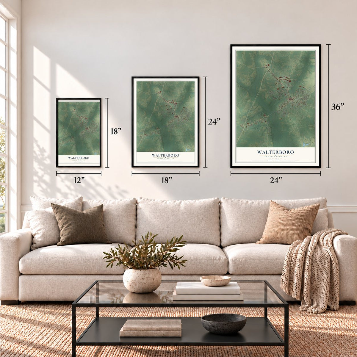
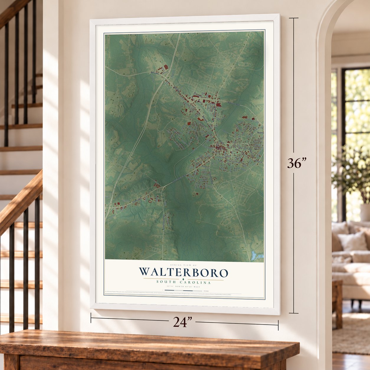
A new map of Walterboro, South Carolina, made in 2026 and printed to order on thick archival matte paper.
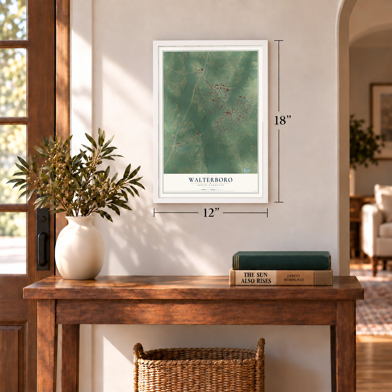
12" x 18" Archival Matte Print
A Map of Home. A Work of Art.
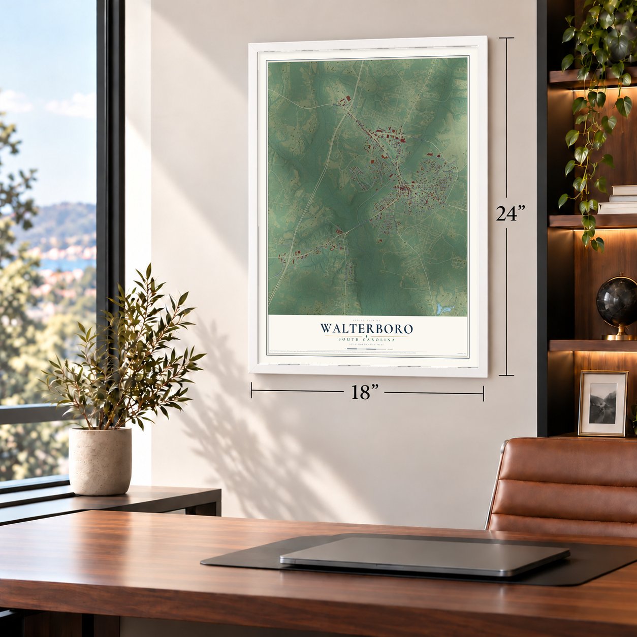
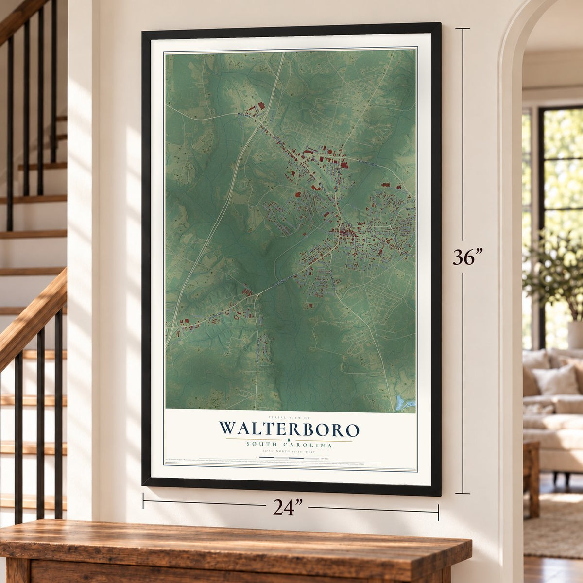
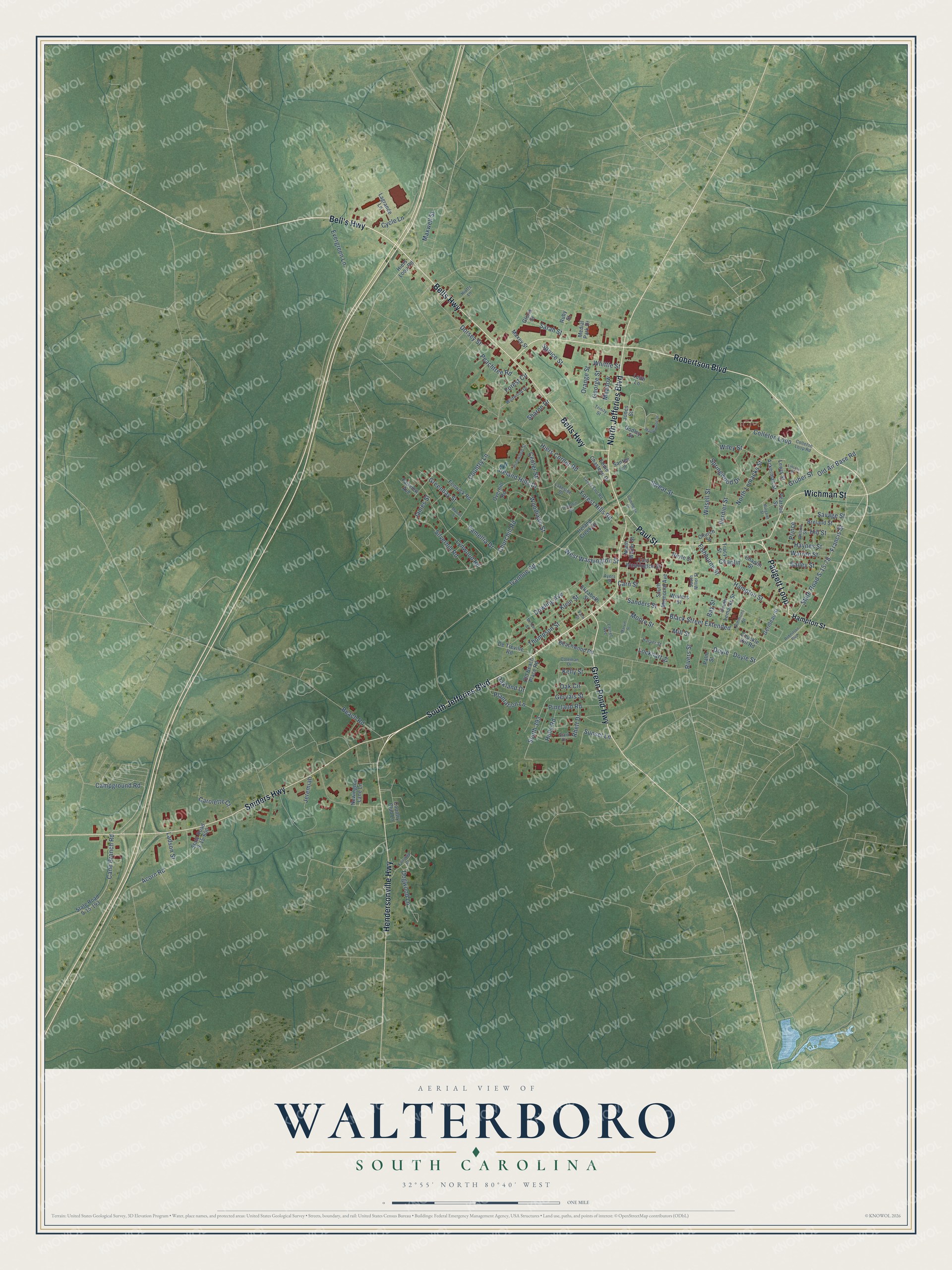
Explore Walterboro, South Carolina from a whole new perspective. Created using aerial imagery and detailed geographic data, this map captures Walterboro building by building, with labeled streets, familiar landmarks, and shaded topographical relief that highlights the natural contours of the landscape.
Combining modern data with the timeless character of a vintage atlas, this map is just as interesting up close as it is beautiful on the wall. Whether you grew up in Walterboro, spent memorable years there, or call it home today, this unique map is a great way to celebrate a place that means something to you. Zoom in on the preview to look for your street, and then order a print to put your memories on the wall.
Three ways to hang it
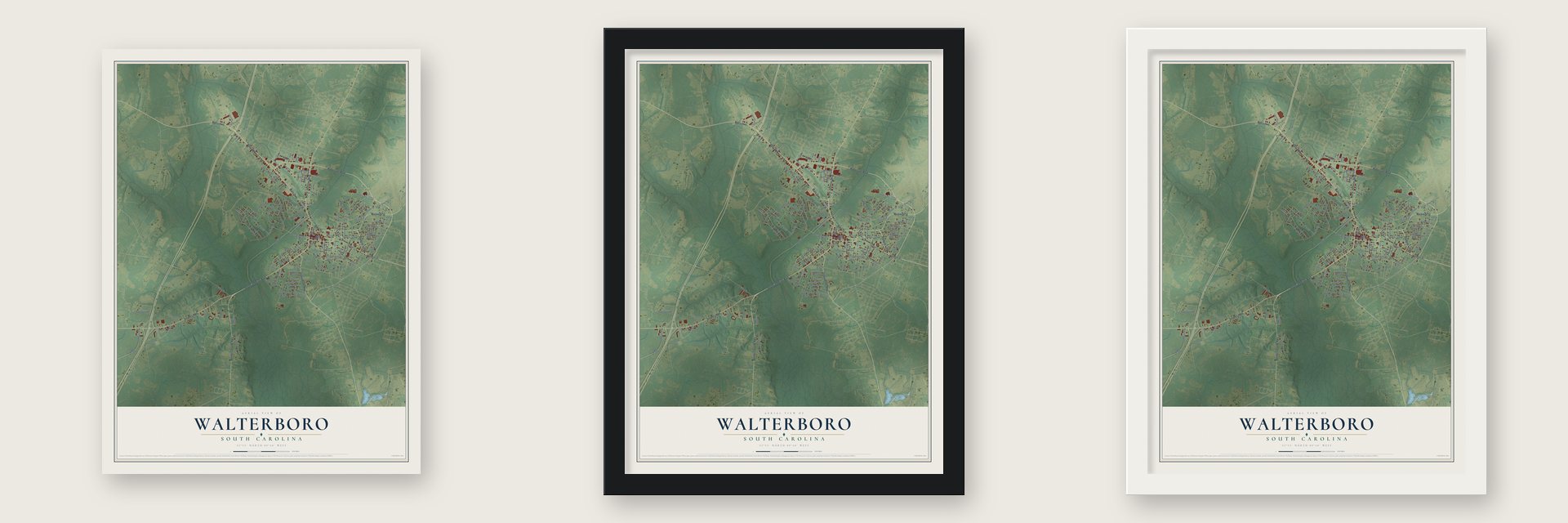
Unframed archival matte, a black wood frame or a white wood frame.
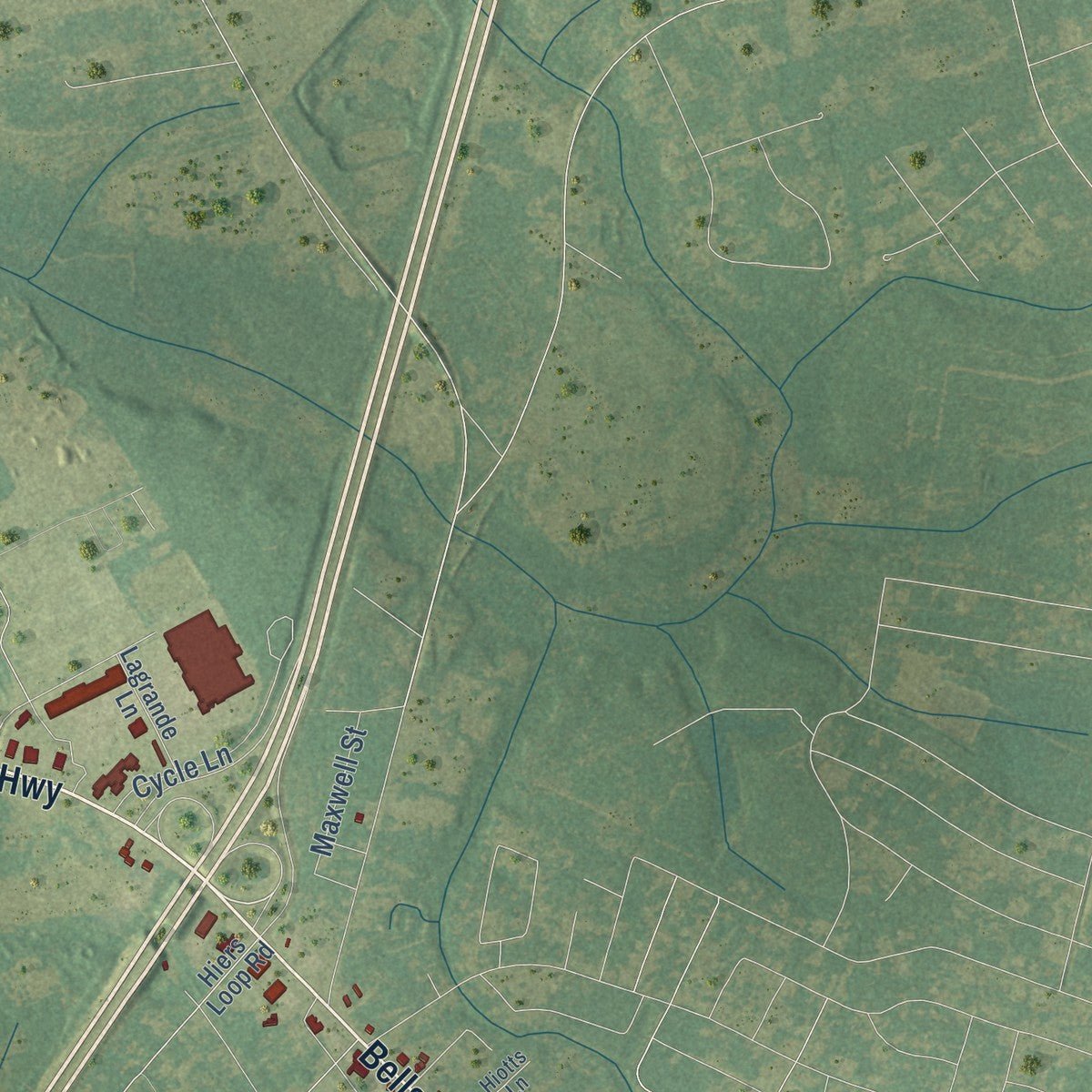
Up close
Geography Worth Displaying
This map was created using accurate cartographic data and authoritative geographic sources, including the U.S. Geological Survey and the Census Bureau. The map brings together terrain, waterways, roads, and building detail. The majority of the streets are labeled, houses are accurately depicted, and the topography is derived from government sources. Combining local data with carefully composed color and shading leads to this beautifully detailed Walterboro artwork for your wall.
Rather than simply showing street outlines, we’ve included as many of the street names as we could reasonably fit on the map while keeping their names legible. Zoom in on the high resolution preview to see exactly what’s on the map. We truly set out to create a statement piece for anyone who loves Walterboro. So whether it’s for you, or a gift for someone you love, we hope this map of Walterboro brings back fond memories.
Read the story behind this map of Walterboro, South Carolina from 2026.

About Walterboro, South Carolina
Walterboro is a city of 5,544 people and the seat of Colleton County, in the South Carolina Lowcountry about 48 miles west of Charleston. It began in 1783 as a summer refuge on a hilly stretch of pine and hickory woods known as Hickory Valley. The marshy ground that suited the planters' rice fields also bred malaria, so families went looking for higher, healthier land.
Brothers Paul and Jacob Walter, prosperous planters from nearby Jacksonboro, were among the first to come. Paul's young daughter Mary had caught malaria, and the brothers searched for a safer place where the family could spend the summers. They settled here, and the town, first spelled Walterborough, was later named for them. In 1817 it was chosen as Colleton County's third county seat, a role it still holds, and a railroad to Columbia and Charleston in the 1880s helped it spread well beyond Hickory Valley.
- A courthouse by Robert MillsSoon after Walterboro became the county seat, the county put up a courthouse and a jail here in 1821. The well-known architect Robert Mills designed the courthouse. The Colleton County Courthouse and the Old Colleton County Jail were both added to the National Register in 1971.
- The faith of Catholic HillIn 1832 Irish Catholics in the countryside south of town, a spot once called Thompson's Crossroads, founded St. James the Greater Catholic Church, and Bishop John England dedicated it. The church burned in 1856, and after emancipation most white families moved away. The Black Catholic community kept its faith for decades without a priest until a new church was built in the 1890s. The place became known as Catholic Hill, and a documentary about it came out in 2020.
- Tuskegee Airmen trained hereA local airfield from the 1930s became Walterboro Army Airfield in 1942, giving fighter and bomber groups advanced combat training for World War II. It also held the country's largest camouflage school and a prisoner of war camp for 250. From April 1944 to October 1945, more than 500 Tuskegee Airmen trained here, and the whole 447th Bombardment Group was among them. When the base shut down in October 1945, it went back to being a local airfield.
- A stop on Interstate 95When Interstate 95 opened in the 1960s, Walterboro became a favorite place to spend the night for drivers bound for Florida or New York. Today its homes from as early as 1820 and its old downtown buildings draw antique hunters and day-trippers from Charleston and Beaufort.
Find your street
Names on the Walterboro map
Every name below is printed on this map. Look for your street, your school, the park where you played, or the pond down the road.
Streets and roads153
- Green Pond Highway
- Bell's Highway
- Padgett Loop
- South Jefferies Boulevard
- North Jefferies Boulevard
- Robertson Boulevard
- Sniders Highway
- Bells Highway
- Wichman Street
- Hendersonville Highway
- Paul Street
- Campground Road
- State Road S-15-78
- West Washington Street
- Woodlawn Street
- North Lemacks Street
- Orange Street
- Doyle Street
- Ivanhoe Road
- Hampton Street
- Francis Street
- Carn Street
- Churchill Road
- Hiers Corner Road
- Dowling Avenue
- Ireland Hills Drive
- Klein Street
- Sweat Street
- Lynwood Road
- Gervais Street
Show all 153 streets
- Center Street
- Savage Street
- Black Street Extended
- Evergreen Lane
- Forest Hills Road
- Spruce Street
- Acorn Road
- Thompson Street
- Dorsey Street
- Cane Branch Road
- Gruber Street
- Colleton Loop
- Warren Street
- Old Air Base Road
- Rivers Street
- Witsell Street
- Bay Street
- Silverhill Road
- Forest Circle
- Springwood Drive
- Haynes Street
- Moore Street
- South 393
- Greenbay Street
- Pineland Road
- Dogwood Lane
- Country Lane
- Bailey Street
- Plantation Lane
- Peachtree Road
- Beach Road
- Camellia Drive
- Sanders Street
- Maxwell Street
- Oak Circle
- Cycle Lane
- Mill Street
- Wiley Street
- Hill Street
- George Street
- Verdier Street
- Carolette Court
- Meadow
- Fishburne Street
- Sharon Drive
- Kelly Street
- Lockhart Street
- Sarah Street
- Holly Road
- Jeremiah
- Sunset Lane
- Whittle Street
- Ladson Street
- Oakland Drive
- Rhett Drive
- Chaplin
- Doyle
- James Street
- Prince
- Beachwood Road
- Jones Street
- South Memorial Avenue
- Old Beach Place Road
- State Road S-15-600
- State Road S-15-193
- Overhill Road
- Ireland Creek Drive
- Chaplin Street
- East Washington Street
- Country Club Lane
- Medial Park Drive
- Breland Street
- Fenwick Road
- South Lemacks Street
- Hiers Loop Road
- De Treville Road
- Ackerman Street
- North Walter Street
- Eddie Chasteen Drive
- Elizabeth Street
- Gerideau Street
- Santee Lane
- Chuckle Hill Road
- Lagrande Lane
- Ruby Street
- Godley Street
- Weiters Street
- Lewis Street
- Newington Lane Lane
- Leith Lane
- Maxey Street
- Church Street
- Pearson Street
- Fairview Avenue
- Neyle Street
- Tracy Street
- Palm Street
- Gloria Street
- Fairway Court
- Coleman Drive
- Simmons Street
- Lakeside Drive
- Wildwood Drive
- Lands End Road
- Pinewood Street
- Varn Street
- Colleton Loop Road
- Stark Drive
- Wilson Street
- Trinity Street
- Laurel Avenue
- Harper Street
- Hiotts Lane
- South Miller Street
- Ayers Street
- Maplewood Drive
- Underhill Road
- McTeer Street
- Lincoln Street
- Commerce Drive
- Marvin Street
- Margaret Street
- Marion Street
Names are listed as they appear on the printed map. Zoom into the product photos to find them.
The art of mapping a place
How This Map Was Made
Real places. Remarkable detail. Discover the layers that turn geographic data into a map of home.

The view from above
Aerial imagery reveals the character of the land: woodland, open fields, and the patterns of a place.

The shape of the land
Elevation data brings hills, valleys, and subtle changes in the landscape into view.

The details of home
Roads, waterways, and building footprints come together to make the map feel unmistakably local.

Geography becomes art
Considered color, shading, and typography bring the layers together in a map made for your wall.


Process illustrated with Mendon, Massachusetts. Aerial imagery: USDA NAIP. Terrain: USGS 3D Elevation Program. Map details and finished artwork: KNOWOL.
The Details
About This Print
Choose an archival matte print, or a black or white Ayous wood frame. The archival matte print is unframed.
Select your size and finish above to see the matching product image and price.
Materials & Craftsmanship
A contemporary map with the character of a classic atlas, printed on archival matte paper. Optional frames are made from Ayous wood.
Your printed map does not include the watermark shown in the full-map preview.
Shipping & Delivery
Free shipping within the United States. Every print is made to order in the USA.
Buying a gift? Add a note in your cart and we'll include it. We never put prices in the package.
Prints ship within 2 to 3 business days. Allow 7 to 10 days total from ordering for delivery. Timing may vary during holidays or periods of high order volume.
Read our shipping policy.
Returns and damaged prints
Each print is made to order. Change-of-mind refunds are not available after production.
If your print arrives damaged, misprinted or incorrect, contact support@knowol.com within 30 days of receiving it. Include your order number, photos and a description of the issue.
Read our full refund and replacement policy. For questions about your order, email support@knowol.com.
Find your town
Looking for another city?
Find a map of home in our South Carolina collection, or any town in the country.
Nearby
Maps of towns near Walterboro
Know someone from one of these towns? Their map makes a great gift.
 Cottageville
, South Carolina
From $39.99See the map
 Williams
, South Carolina
From $39.99See the map
 Jacksonboro
, South Carolina
From $39.99See the map
More maps nearby: Islandton, Grover, Smoaks, Yemassee and Lodge.