
Search for another town



Free U.S. delivery 7 to 10 days after you order
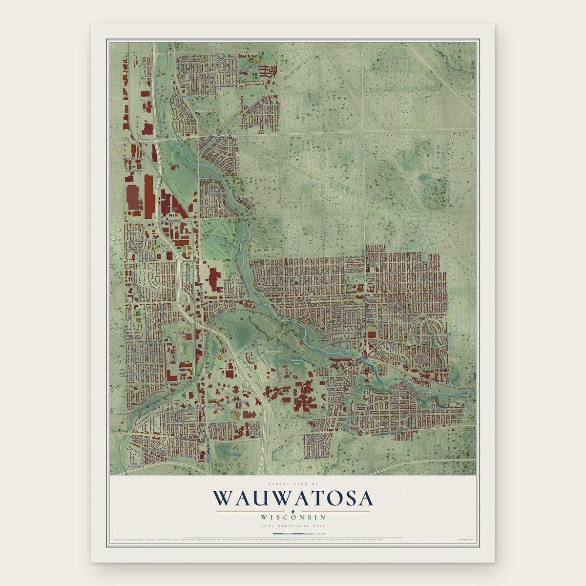
Wauwatosa, Wisconsin Map Art
Building by building, with labeled streets and shaded relief.
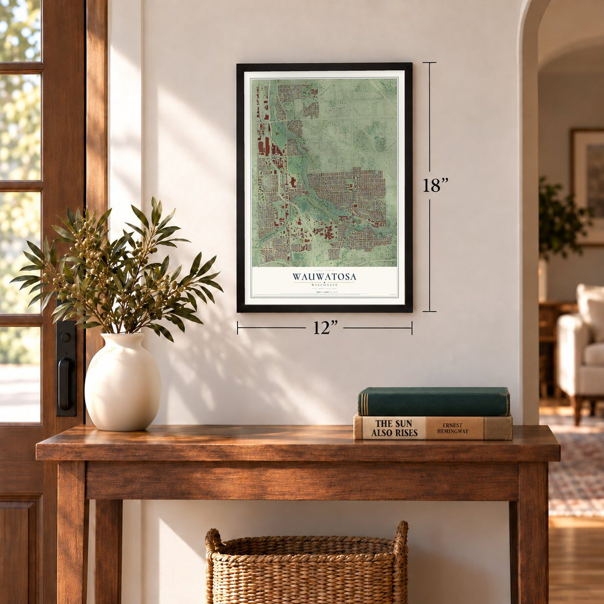
12" x 18" Archival Matte Print
A Map of Home. A Work of Art.
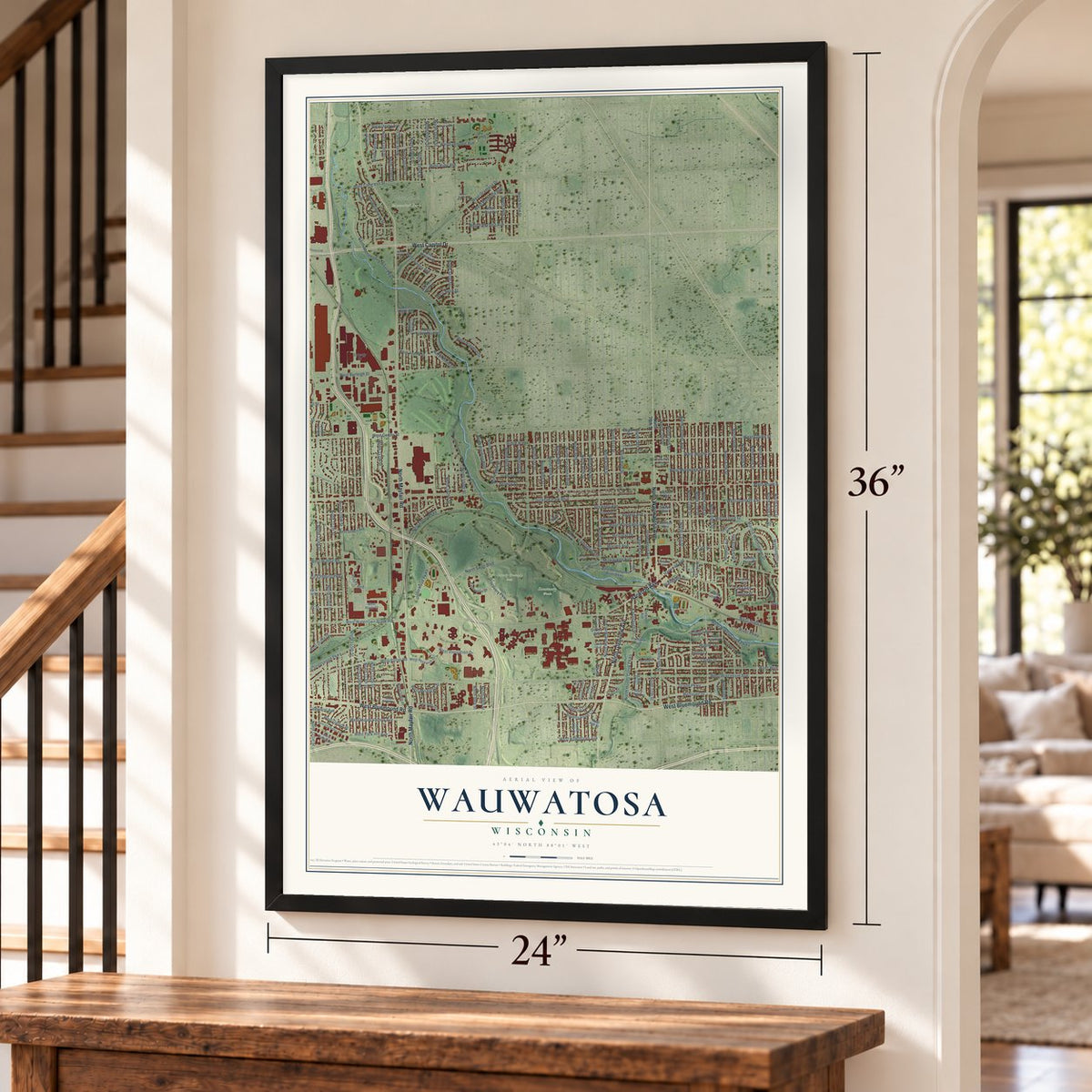
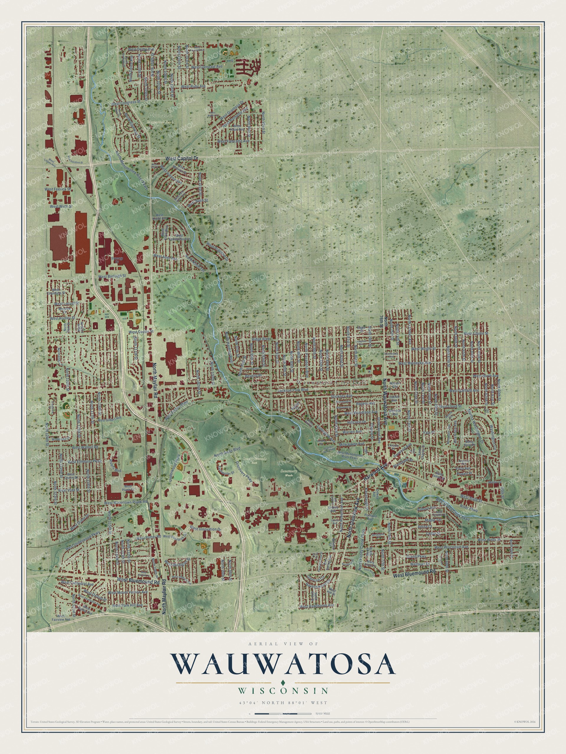
Explore Wauwatosa, Wisconsin from a whole new perspective. Created using aerial imagery and detailed geographic data, this map captures Wauwatosa building by building, with labeled streets, familiar landmarks, and shaded topographical relief that highlights the natural contours of the landscape.
Combining modern data with the timeless character of a vintage atlas, this map is just as interesting up close as it is beautiful on the wall. Whether you grew up in Wauwatosa, spent memorable years there, or call it home today, this unique map is a great way to celebrate a place that means something to you. Zoom in on the preview to look for your street, and then order a print to put your memories on the wall.
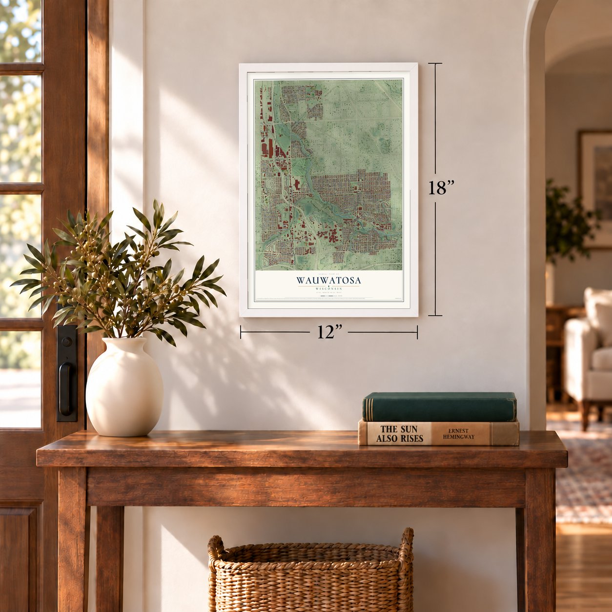
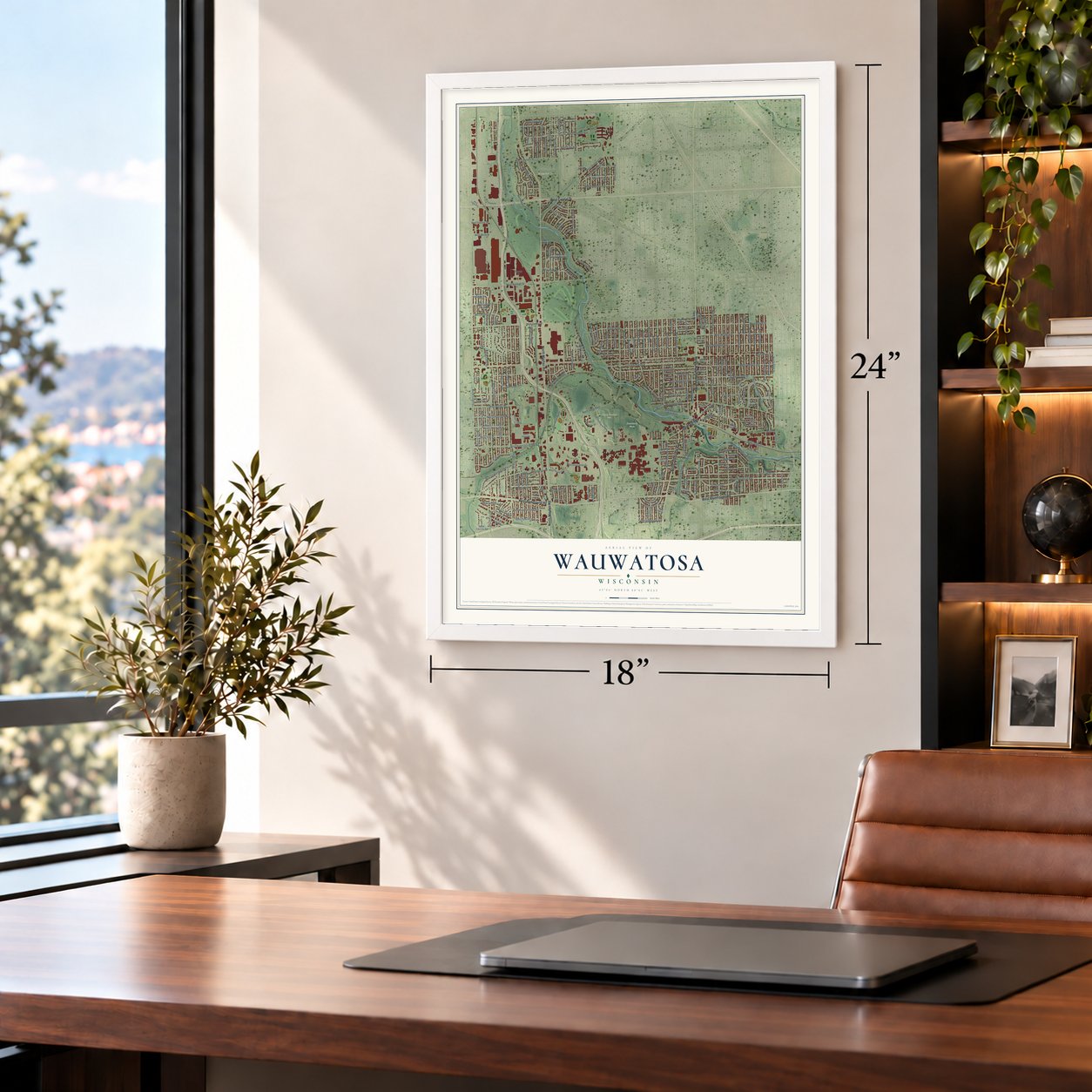
Three ways to hang it
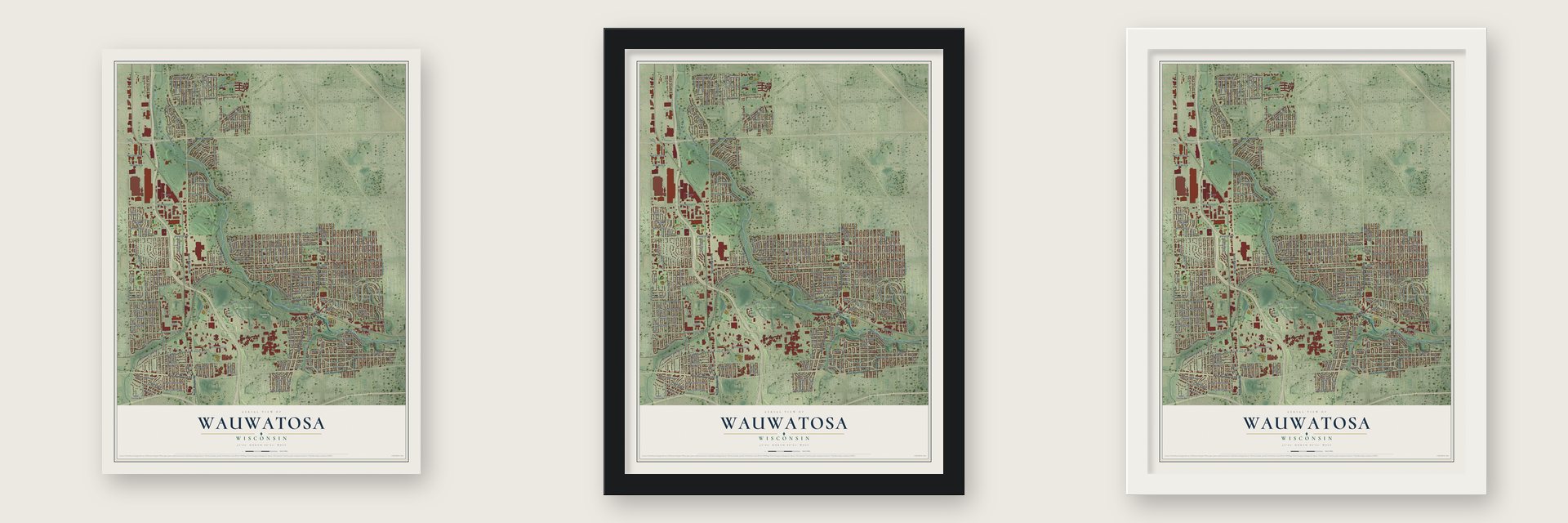
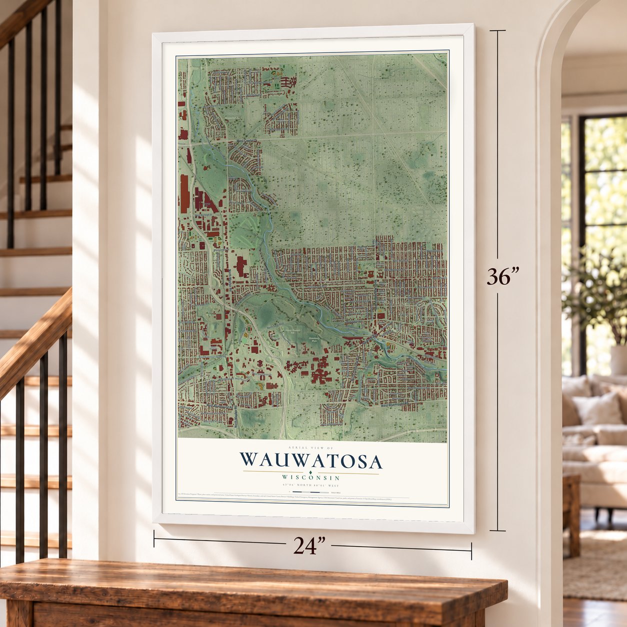
Unframed archival matte, a black wood frame or a white wood frame.
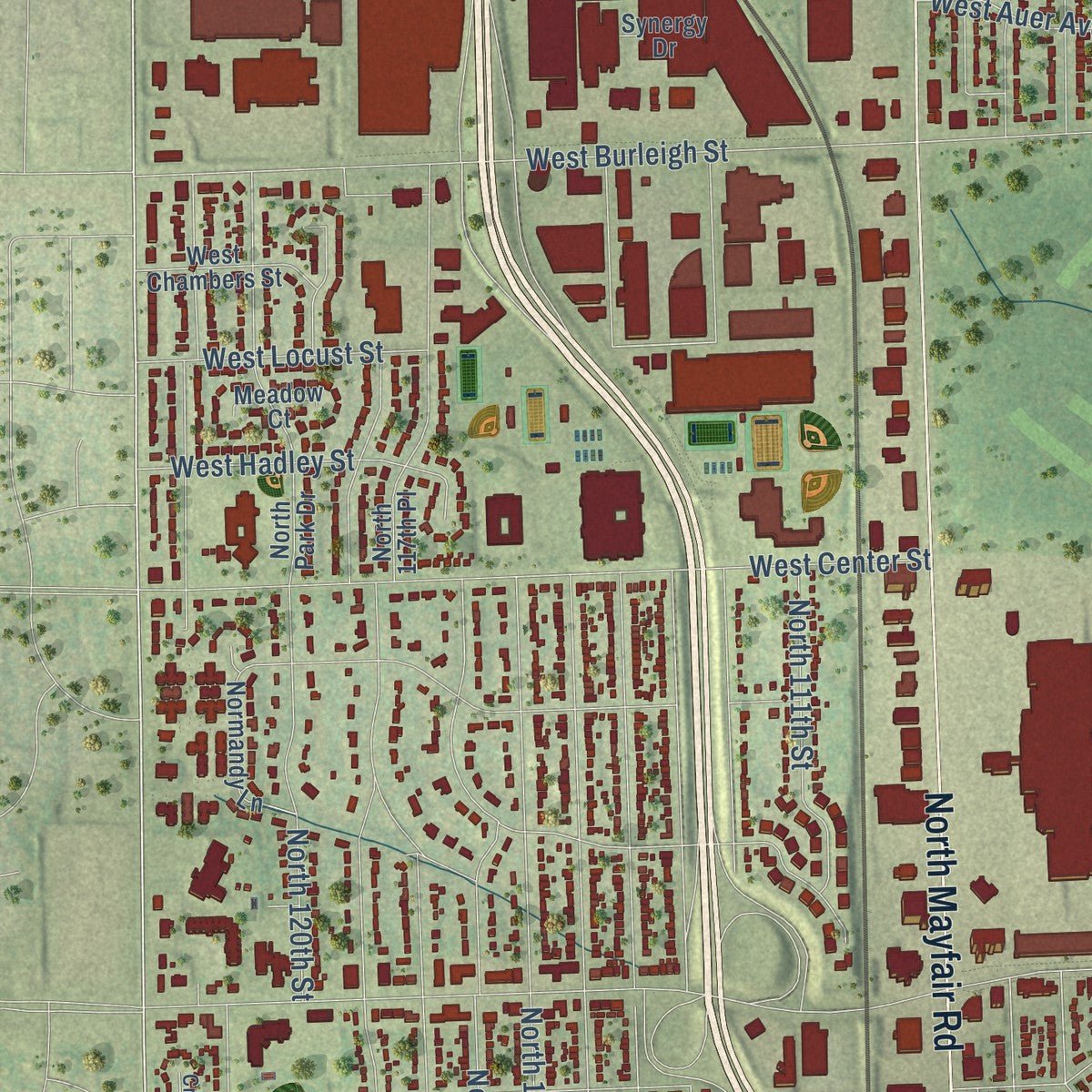
Up close
Geography Worth Displaying
This map was created using accurate cartographic data and authoritative geographic sources, including the U.S. Geological Survey and the Census Bureau. The map brings together terrain, waterways, roads, and building detail. The majority of the streets are labeled, houses are accurately depicted, and the topography is derived from government sources. Combining local data with carefully composed color and shading leads to this beautifully detailed Wauwatosa artwork for your wall.
Rather than simply showing street outlines, we’ve included as many of the street names as we could reasonably fit on the map while keeping their names legible. Zoom in on the high resolution preview to see exactly what’s on the map. We truly set out to create a statement piece for anyone who loves Wauwatosa. So whether it’s for you, or a gift for someone you love, we hope this map of Wauwatosa brings back fond memories.
Read the story behind this map of Wauwatosa, Wisconsin from 2026.
Find your street
Names on the Wauwatosa map
Every name below is printed on this map. Look for your street, your school, the park where you played, or the pond down the road.
Places and landmarks4
- Wauwatosa City Hall
- County Grounds Park
- Pinelawn Memorial Park
- Sanctuary Woods
Streets and roads230
- North Glenview Avenue
- Harwood Avenue
- West Bluemound Road
- North Mayfair Road
- West Capitol Drive
- North Wauwatosa Avenue
- West Watertown Plank Road
- North 70th Street
- North 124th Street
- North 65th Street
- Martha Washington Drive
- Rivers Bnd
- Milwaukee Avenue
- West Honey Creek Parkway
- North 76th Street
- West Walnut Road
- West Locust Street
- North 117th Street
- North Menomonee River Parkway
- West North Avenue
- West Wisconsin Avenue
- North 119th Street
- West Clarke Street
- West Meinecke Avenue
- North 68th Street
- North 118th Street
- North 116th Street
- West Wright Street
- North Swan Boulevard
- North 72nd Street
Show all 230 streets
- West Garfield Avenue
- North 115th Street
- North 122nd Street
- Underwood Parkway
- West Center Street
- North 113th Street
- North 74th Street
- North 114th Street
- North 120th Street
- North 69th Street
- North 121st Street
- North 60th Street
- West Burleigh Street
- North 71st Street
- North 63rd Street
- West Wells Street
- North 66th Street
- North 73rd Street
- North 64th Street
- North 67th Street
- North 106th Street
- North 105th Street
- North 95th Street
- Hillcrest Drive
- North 112th Street
- Stickney Avenue
- North 62nd Street
- North 85th Street
- West State Street
- North 107th Street
- North 104th Street
- West Grantosa Drive
- North 83rd Street
- Jackson Park Boulevard
- North 100th Street
- North 110th Street
- North 103rd Street
- North 111th Street
- North 86th Street
- North 92nd Street
- North 97th Street
- West Potter Road
- North 81st Street
- North 123rd Street
- West Woodland Avenue
- West Glendale Avenue
- West Lloyd Street
- Washington Circle
- West Ruby Avenue
- North 89th Street
- North 94th Street
- North 109th Street
- North 84th Street
- North 101st Street
- North 75th Street
- West Congress Street
- North 93rd Street
- North 90th Street
- North 61st Street
- North Honey Creek Parkway
- North 96th Street
- North Lefeber Avenue
- North Robertson Avenue
- North 88th Street
- North 102nd Street
- Ludington Avenue
- West Underwood Parkway
- West Fiebrantz Avenue
- Maple Terrace
- West Innovation Drive
- North 99th Street
- Wellauer Drive
- North Glenway Street
- North 91st Street
- Discovery Parkway
- West Vliet Street
- West Mount Vernon Avenue
- Grand Parkway
- Underwood Avenue
- North Knoll Terrace
- West Diane Drive
- North 108th Street
- Church Street
- North 98th Street
- West Michigan Street
- West Auer Avenue
- West Vienna Avenue
- West Elmhurst Parkway
- North Pasadena Boulevard
- North 82nd Street
- North 80th Street
- Cedar Street
- Blanchard Street
- Warren Avenue
- West Fisher Parkway
- Ridge Boulevard
- West Park Hill Avenue
- Ravenswood Circle
- West Palmetto Avenue
- North 78th Street
- Kavanaugh Place
- Beverly Place
- Aetna Court
- River Parkway
- West Hadley Street
- West Hawthorne Avenue
- North 77th Street
- West Cathedral Avenue
- Rogers Avenue
- West Derby Avenue
- North Harding Boulevard
- West Argonne Drive
- West Feerick Street
- Auburn Avenue
- North Delco Avenue
- West Wirth Street
- West Oxford Place
- Vista Avenue
- Glencoe Circle
- West Nash Street
- Alta Vista Avenue
- Yale Place
- 60th Street
- Powell Place
- West Menomonee River Parkway
- Portland Avenue
- West Hope Avenue
- North Knoll Boulevard
- West Gilbert Avenue
- West Cherry Street
- West Ripley Avenue
- West Concordia Avenue
- Gridley Avenue
- West Research Drive
- West Melvina Street
- West Keefe Avenue
- Saint James Street
- Dewey Avenue
- North Park Drive
- West Fairview Avenue
- Mountain Avenue
- Eschweiler Drive
- Eagle Street
- West Plank Court
- Mary Ellen Place
- West Chambers Street
- Normandy Lane
- Woodside Court
- North 108th Place
- Elm Spring Avenue
- North 59th Street
- North 79th Street
- Watson Avenue
- North 87th Street
- Saint Charles Street
- North 117th Place
- Melrose Avenue
- Oakhill Avenue
- Martin Drive
- Windsor Court
- Betsy Ross Place
- Meadow Court
- Synergy Drive
- Lincoln Place
- Sunset Court
- West Hill Street
- West Dearbourn Avenue
- West Park Ridge Avenue
- West Hibbard Avenue
- Geralayne Circle
- Currie Avenue
- Revere Avenue
- West Lisbon Avenue
- Elm Lawn Street
- North Parkside Drive
- Pleasant View Street
- Charles Hart Parkway
- Aberdeen Court
- Richmond Court
- Rockway Place
- West Terrace Court
- Hennessey Avenue
- Romona Avenue
- Crestview Court
- Ridge Court
- River Park Court
- West Davidson Street
- West Courtland Avenue
- West Marion Street
- Harding Boulevard
- Livingston Avenue
- Crescent Court
- Saint Anne Court
- North Raymir Place
- Kenyon Avenue
- Two Tree Lane
- West Harvard Lane
- West York Place
- Alice Street
- Bel Air Circle
Names are listed as they appear on the printed map. Zoom into the product photos to find them.
About Wauwatosa, Wisconsin
Wauwatosa is a city of 48,387 people in Milwaukee County, just west of Milwaukee, and locals often call it Tosa. Its name honors the Potawatomi chief Wauwataesie and comes from the Potawatomi word for firefly. Charles Hart arrived in 1835 as the first Euro-American settler, and 17 more families came that same year. The territorial legislature created the Town of Wau-wau-too-sa on April 30, 1840, when it had 342 people, and its government was organized in 1842.
The Menomonee Valley gave farmers a path from the glacial farmland of southeastern Wisconsin to the Port of Milwaukee. The Watertown Plank Road came in 1849, mostly along the old territorial road to Madison, and in 1851 the state's first railroad, which later became the Milwaukee Road, ended its western line at Wauwatosa. Streetcars in the 1890s and then the automobile brought new houses. The center of the town became a village in 1892 and was rechartered as a city on May 27, 1897.
- First called Hart's MillCharles Hart built a mill on the Menomonee River in 1845, and the settlement around it went by the name Hart's Mill before it became Wauwatosa. The mill stood until 1914, when it was torn down.
- Doubled in a day in 1952On November 25, 1952, the city took in everything left of the Town of Wauwatosa, 8.5 square miles west of the Menomonee River, and grew to more than twice its size. Cold storage plants and regional food distribution terminals moved onto the new land, along with factories for Harley-Davidson and Briggs & Stratton. A busy shopping district then grew up along Highway 100, anchored by Mayfair Mall.
- A schoolgirl's city sealSuzanne Vallier designed the city seal at age 9 for a contest among Wauwatosa schoolchildren, and the city adopted it in 1957. Its shield showed an arrowhead for the first Native inhabitants, a mill for Hart's Mill, a cross for the "city of churches" and the street-sign symbol for the "city of homes." In 1992, facing a threatened lawsuit, the Common Council took out the cross and put "In God We Trust" in its place.
- Frank Lloyd Wright's churchFrank Lloyd Wright drew the plans for Annunciation Greek Orthodox Church, which joined the National Register in 1974.
- Bob Dylan's Tosa songIn 1961 Bob Dylan wrote lyrics for a song called "On, Wisconsin," sung by a narrator from Wauwatosa, but he left it unfinished and never recorded it. In 2018 local musician Trapper Schoepp set the words to music, and he cut the recording at Wire & Vice, a studio in Wauwatosa, for his 2019 album Primetime Illusion.
Keep exploring Wisconsin
Wauwatosa is one of 2,021 Wisconsin towns we've mapped. Every dot on the map is a print of its own.
The search covers every state, Wisconsin first.
Near Wauwatosa
Order 2 or more town maps and save 10%. Shown in the size and finish you picked above, so they hang as a set.
- Mount Mary 12" x 18" / Archival Matte Print $39.99
- Kops Park 12" x 18" / Archival Matte Print $39.99
- Enderis Park 12" x 18" / Archival Matte Print $39.99
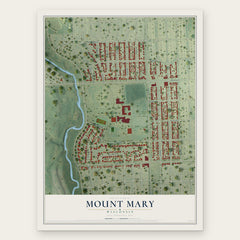

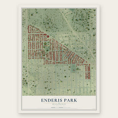
More maps nearby: Washington Highlands, Elm Grove, Washington Heights, Milwaukee and Story Hill.
The art of mapping a place
How This Map Was Made
Real places. Remarkable detail. Discover the layers that turn geographic data into a map of home.

The view from above
Aerial imagery reveals the character of the land: woodland, open fields, and the patterns of a place.

The shape of the land
Elevation data brings hills, valleys, and subtle changes in the landscape into view.

The details of home
Roads, waterways, and building footprints come together to make the map feel unmistakably local.

Geography becomes art
Considered color, shading, and typography bring the layers together in a map made for your wall.


Process illustrated with Mendon, Massachusetts. Aerial imagery: USDA NAIP. Terrain: USGS 3D Elevation Program. Map details and finished artwork: KNOWOL.
The Details
About This Print
Choose an archival matte print, or a black or white Ayous wood frame. The archival matte print is unframed.
Select your size and finish above to see the matching product image and price.
Materials & Craftsmanship
A contemporary map with the character of a classic atlas, printed on archival matte paper. Optional frames are made from Ayous wood.
Your printed map does not include the watermark shown in the full-map preview.
Shipping & Delivery
Free shipping within the United States. Every print is made to order in the USA.
Buying a gift? Add a note in your cart and we'll include it. We never put prices in the package.
Prints ship within 2 to 3 business days. Allow 7 to 10 days total from ordering for delivery. Timing may vary during holidays or periods of high order volume.
Read our shipping policy.
Returns and damaged prints
Each print is made to order. Change-of-mind refunds are not available after production.
If your print arrives damaged, misprinted or incorrect, contact support@knowol.com within 30 days of receiving it. Include your order number, photos and a description of the issue.
Read our full refund and replacement policy. For questions about your order, email support@knowol.com.