
Search for another town





Free U.S. delivery 7 to 10 days after you order
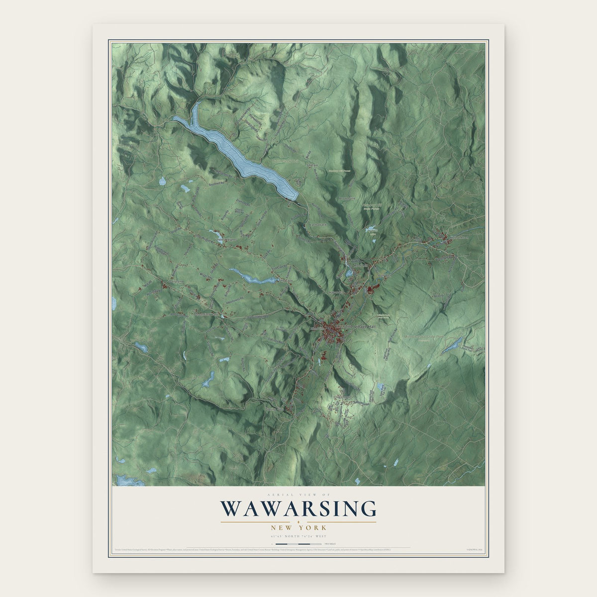
Wawarsing, New York Map Art
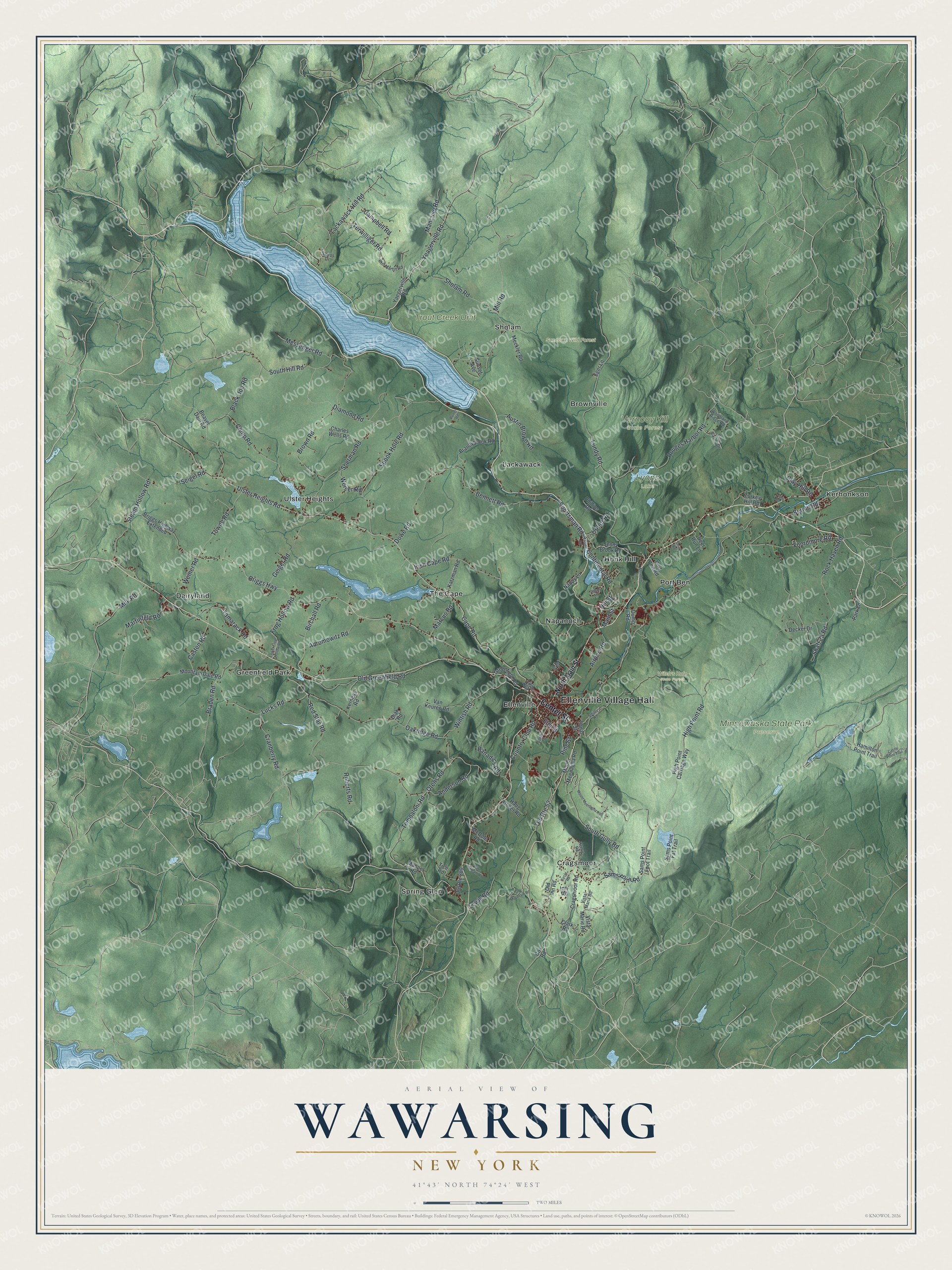
A new map of Wawarsing, New York, made in 2026 and printed to order on thick archival matte paper.
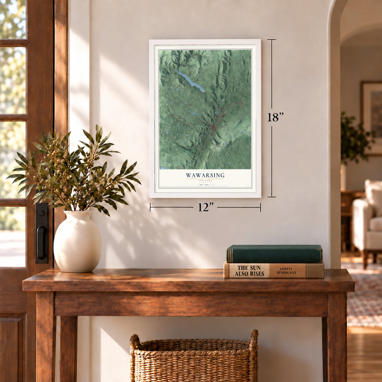
12" x 18" Archival Matte Print
A Map of Home. A Work of Art.
Bring a piece of Wawarsing home. Whether it’s where you grew up, your current home, or simply a moment in your life, this Wawarsing, New York map print brings those memories to your wall. Antique-inspired styling and modern geographic detail combine to create artwork that’s beautiful from across the room, with plenty to study and explore when you get up close.
Three ways to hang it
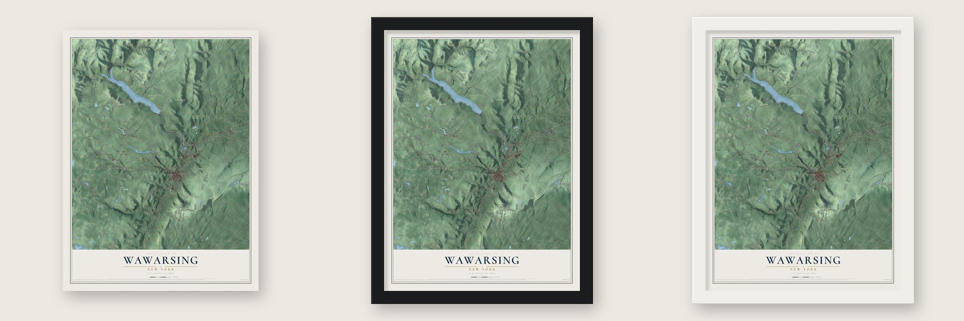
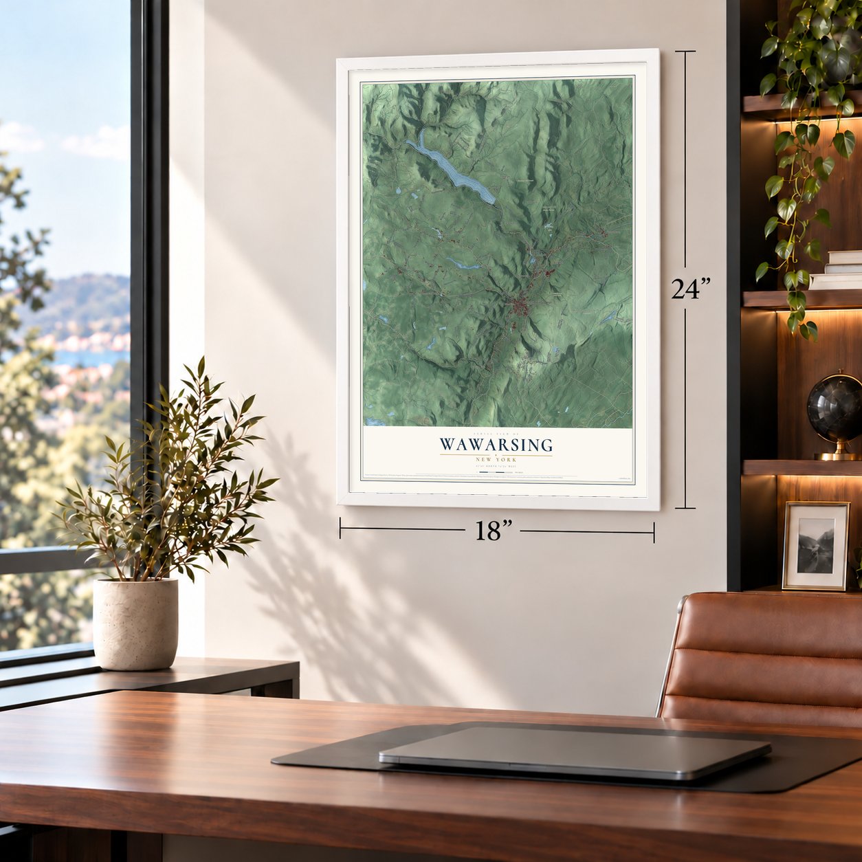
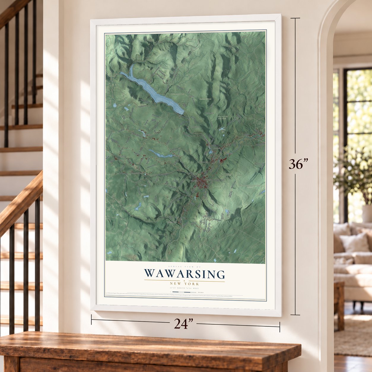
Unframed archival matte, a black wood frame or a white wood frame.
Up close
Real geography. Art worth displaying.
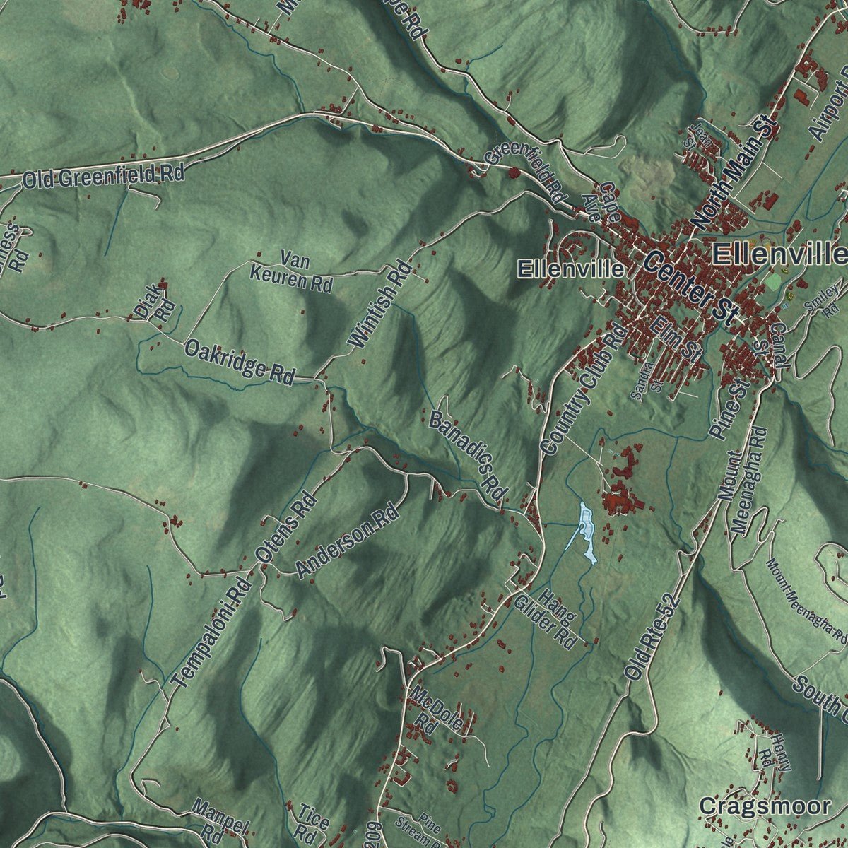
This map was created using accurate cartographic data and authoritative geographic sources, including the U.S. Geological Survey (USGS) and FEMA. The map brings together terrain, waterways, roads, and building detail. The majority of the streets are labeled, houses are accurately depicted, and the topography is derived from government sources. Combining local data with carefully composed color and shading leads to this beautifully detailed Wawarsing artwork for your wall.
Rather than simply showing street outlines, we’ve included as many of the street names as we could reasonably fit on the map while keeping their names legible. Zoom in on the high resolution preview to see exactly what’s on the map. We truly set out to create a statement piece for anyone who loves Wawarsing. So whether it’s for you, or a gift for someone you love, we hope this map of Wawarsing brings back fond memories.
Explore the full map of Wawarsing, New York and read about the local places it shows.

About Wawarsing, New York
Wawarsing is a town in western Ulster County, with 12,771 residents recorded in the 2020 census. Its landscape extends from Appalachian foothills and the Catskills to the Shawangunk Ridge along the eastern border. Ellenville, Napanoch, Cragsmoor, Dairyland, Greenfield Park, and the hamlet of Wawarsing are among its communities.
- Meeting WatersThe Ver Nooy Kill joins Rondout Creek at Port Ben, a confluence associated with interpretations of the town's Lenape name.
- Routes Across TownUS 209 passes through several principal communities, while US 44 begins near the eastern town line and Route 52 follows the southern area.
- Protected LandscapesMost of Minnewaska State Park and Sam's Point Preserve lie within Wawarsing, together with three state forests.
- Land and WaterThe town covers 133.9 square miles, including 130.8 square miles of land and 3.1 square miles of water.
Find your street
Names on the Wawarsing map
Every name below is printed on this map. Look for your street, your school, the park where you played, or the pond down the road.
Places and landmarks21
- Ellenville Village Hall
- Lyons Lake
- Minnewaska State Park Preserve
- Sundown Wild Forest
- Trout Creek Unit
- Vernooy Kill State Forest
- Witch's Hole State Forest
- Brownville
- Cragsmoor
- Dairyland
- Ellenville
- Greenfield Park
Show all 21 places
- Honk Hill
- Kerhonkson
- Lackawack
- Napanoch
- Port Ben
- Sholam
- Spring Glen
- The Cape
- Ulster Heights
Streets and roads131
- Center Street
- Yeagerville Road
- Clay Hill Road
- Cape Road
- Campbell Road
- Birchall Road
- Ulster Heights Road
- Berme Road
- Briggs Highway
- Lundy Road
- Oakridge Road
- Irish Cape Road
- Otens Road
- High Point Road
- Sherman Road
- Old Greenfield Road
- Sholam Road
- Brown Road
- Sams Point Road
- Camp Road
- Foordmore Road
- Diamond Road
- Rouges Harbor Road
- Spook Hole Road
- Old Route 52
- South Hill Road
- South Gully Road
- Lackawack Hill Road
- Lucks Road
- Bennett Road
Show all 131 streets
- Wintish Road
- Dowe Road
- Rock Haven Road
- Sportsman Road
- Tempaloni Road
- Steam Hollow Road
- Tamarack Road
- Red Star Road
- Mill Road
- Towne Road
- Weiner Road
- Geiger Road
- Martinfeld Road
- Frog Hollow Road
- Milk Road
- Continental Road
- Black Joe Road
- Abromowitz Road
- Cranberry Road
- Seigel Road
- Messenger Road
- Anderson Road
- Casten Road
- Austin Brown Road
- Mancuso Road
- Terwilliger Road
- Country Club Road
- Lewis Road
- Marcus Road
- Cutler Road
- Braden Road
- Banadics Road
- Roberts Road
- Weiser Road
- Airport Road
- Main Street
- Hill Street
- Pine Street
- Elm Street
- North Main Street
- Yaegerville Road
- Cape Avenue
- Vista Marie Road
- Inn Road
- Mountain Dale Road
- High Point Carriage Way
- Hamilton Point Trail
- Sams Point Fat Trail
- Briggs Highway Extended
- Van Keuren Road
- Beaver Dam Road
- Old Route 209
- Brandybrook Road
- Canal Street
- Cragsmoor Road
- Jenny Brook Road
- Mount Meenagha Road
- Port Ben Road
- Sams Point Foot Trail
- Charles Wells Road
- Decker Drive
- Katzman Road
- Meckler Road
- Tice Road
- Clark Road
- Greenfield Road
- Turkey Hill Road
- Phillips Road
- Kerness Road
- Old Inn Road
- Nappy Lane
- Hang Glider Road
- Deer Run Lane
- Manpel Road
- Eger Lane
- Dump Road
- McDole Road
- Park Lane
- Sunset Avenue
- Cox Road
- Diak Road
- Phil Martin Road
- Henry Road
- Vista Maria Road
- Woodland Ridge Road
- Pine Castle Drive
- Sarros Drive
- Smiley Road
- Old Mountain Road
- Castle Point Trail
- Circle Road
- Pine Stream Road
- Meadow Lane
- Porter Road
- Smith Road
- Lower Frog Hollow Road
- Sandra Street
- Quarry Road
- Carlo Drive
- Jean Street
- Front Road
Names are listed as they appear on the printed map. Zoom into the product photos to find them.
The art of mapping a place
How This Map Was Made
Real places. Remarkable detail. Discover the layers that turn geographic data into a map of home.

The view from above
Aerial imagery reveals the character of the land: woodland, open fields, and the patterns of a place.

The shape of the land
Elevation data brings hills, valleys, and subtle changes in the landscape into view.

The details of home
Roads, waterways, and building footprints come together to make the map feel unmistakably local.

Geography becomes art
Considered color, shading, and typography bring the layers together in a map made for your wall.


Process illustrated with Mendon, Massachusetts. Aerial imagery: USDA NAIP. Terrain: USGS 3D Elevation Program. Map details and finished artwork: KNOWOL.
The Details
About This Print
Choose an archival matte print, or a black or white Ayous wood frame. The archival matte print is unframed.
Select your size and finish above to see the matching product image and price.
Materials & Craftsmanship
A contemporary map with the character of a classic atlas, printed on archival matte paper. Optional frames are made from Ayous wood.
Your printed map does not include the watermark shown in the full-map preview.
Shipping & Delivery
Free shipping within the United States. Every print is made to order in the USA.
Buying a gift? Add a note in your cart and we'll include it. We never put prices in the package.
Prints ship within 2 to 3 business days. Allow 7 to 10 days total from ordering for delivery. Timing may vary during holidays or periods of high order volume.
Read our shipping policy.
Returns and damaged prints
Each print is made to order. Change-of-mind refunds are not available after production.
If your print arrives damaged, misprinted or incorrect, contact support@knowol.com within 30 days of receiving it. Include your order number, photos and a description of the issue.
Read our full refund and replacement policy. For questions about your order, email support@knowol.com.
Find your town
Looking for another city?
Find a map of home in our New York collection.
Nearby
Maps of towns near Wawarsing
Know someone from one of these towns? Their map makes a great gift.


