
Search for another town
Free U.S. delivery 7 to 10 days after you order
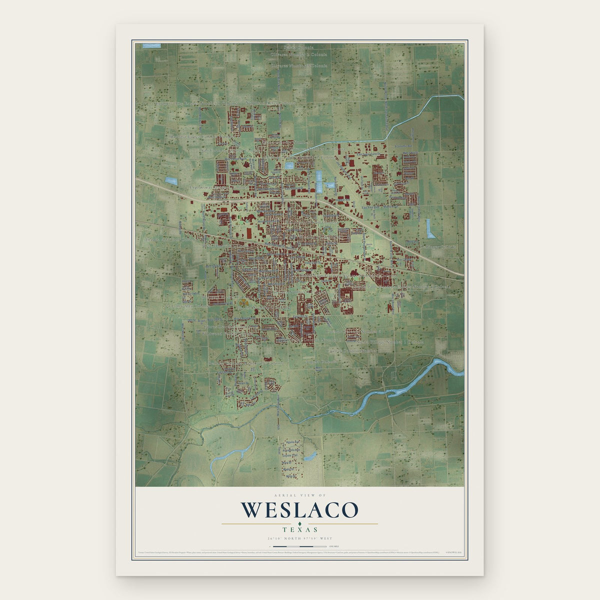
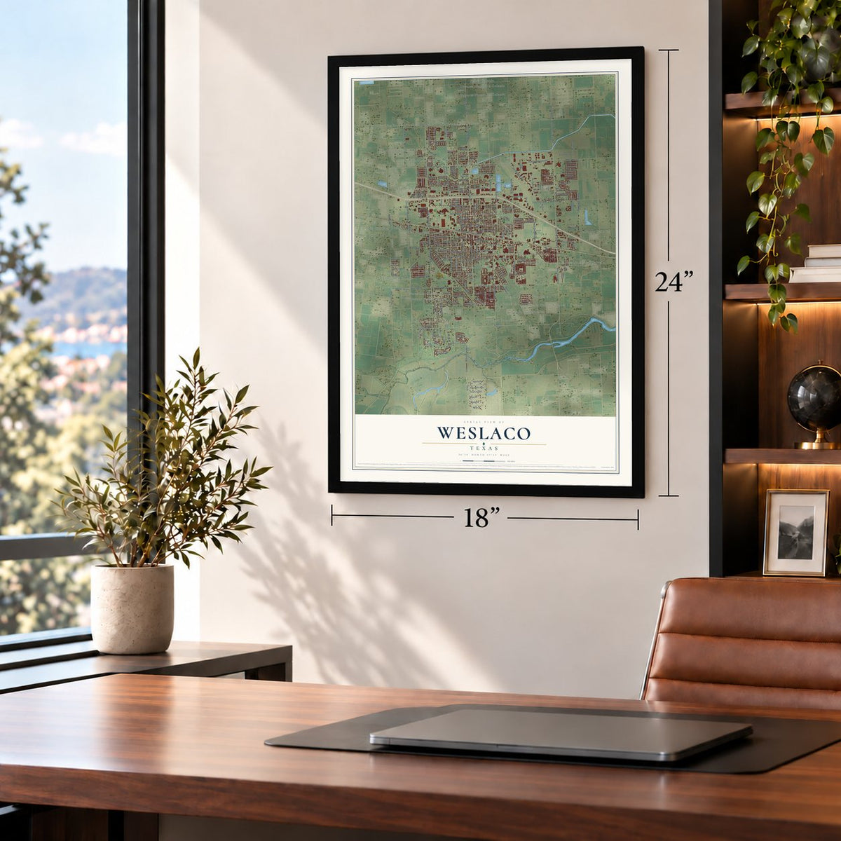
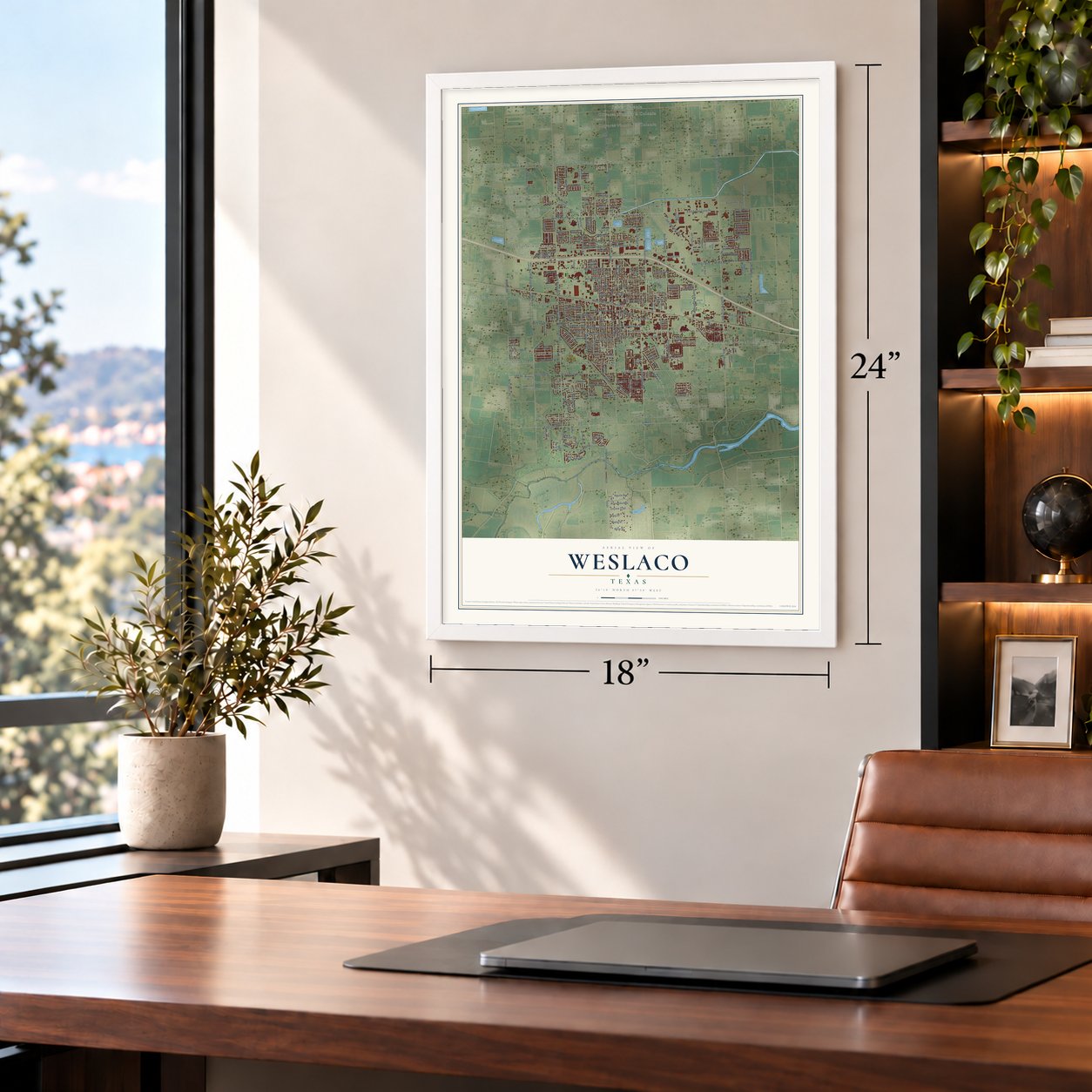
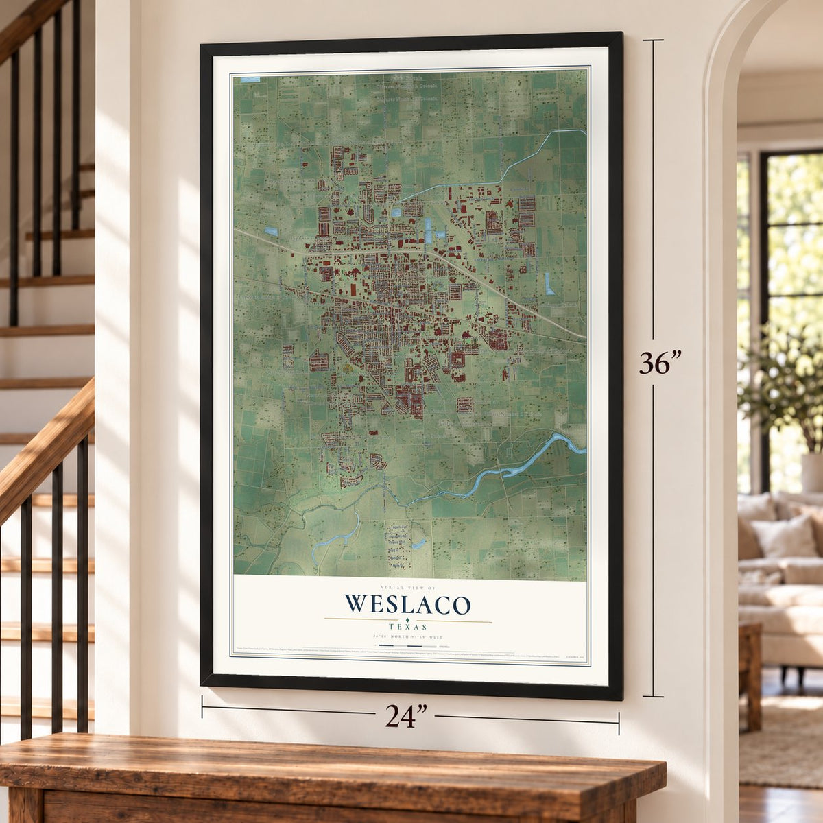
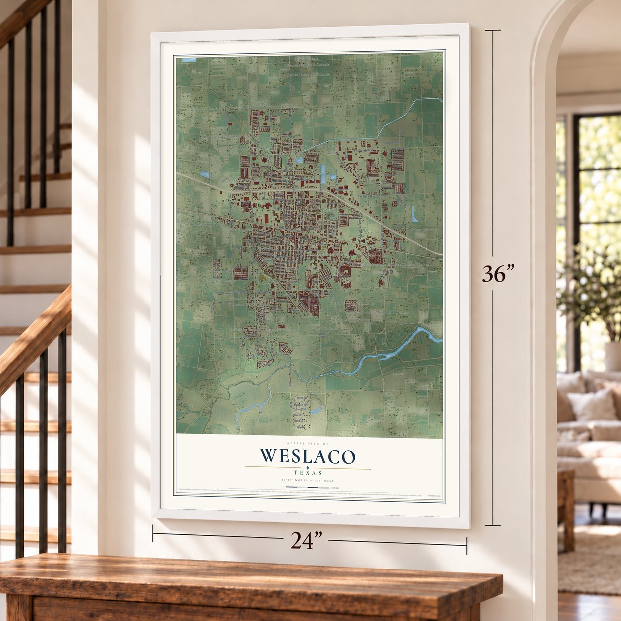
Weslaco, Texas Map Art
Building by building, with labeled streets and shaded relief.
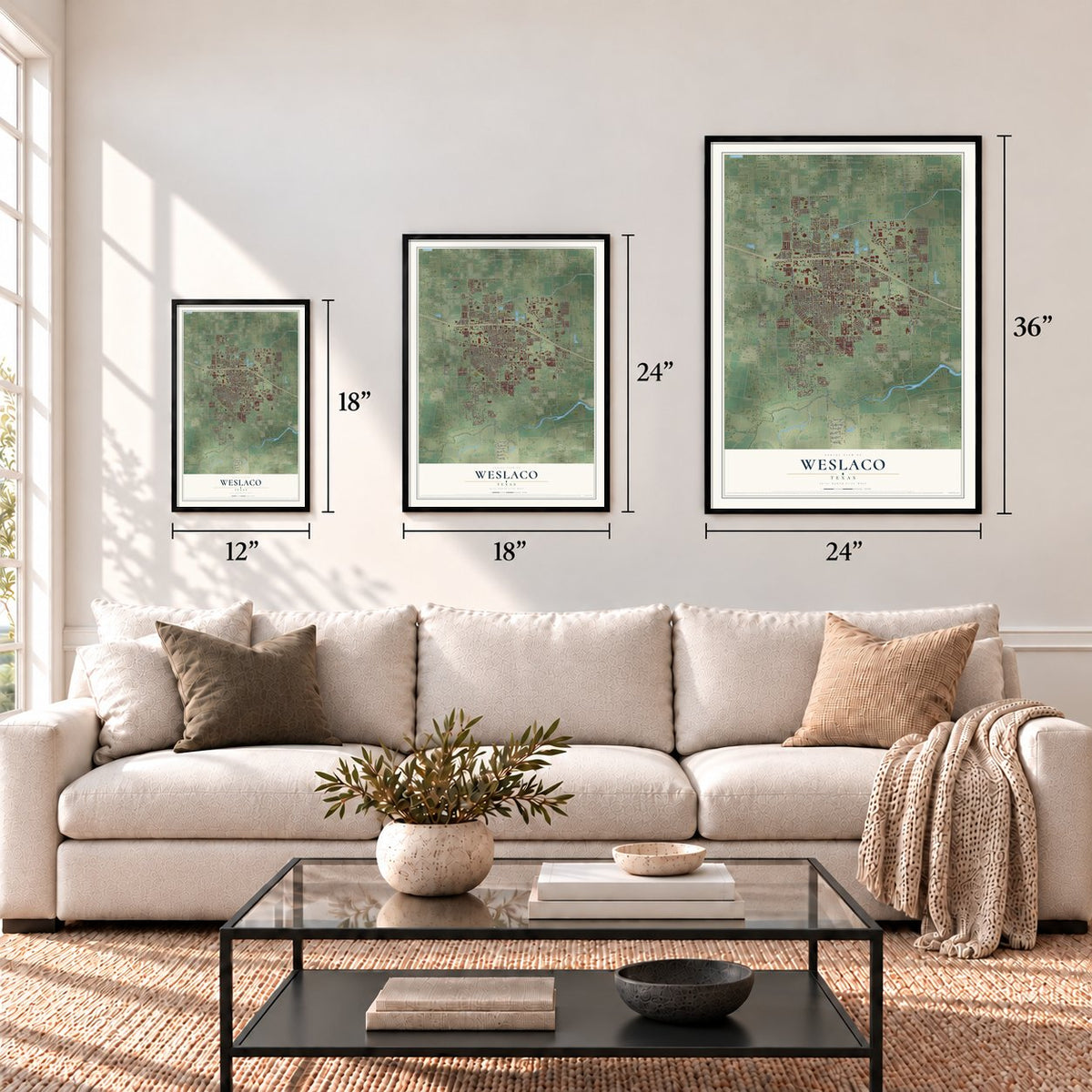
12" x 18" Archival Matte Print
A Map of Home. A Work of Art.
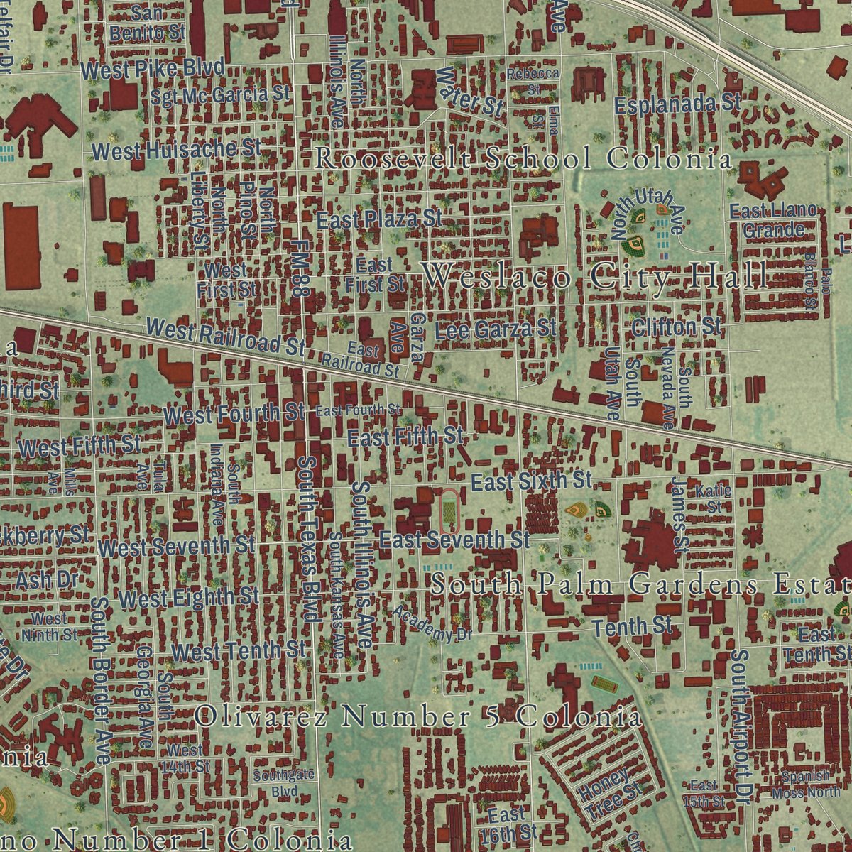
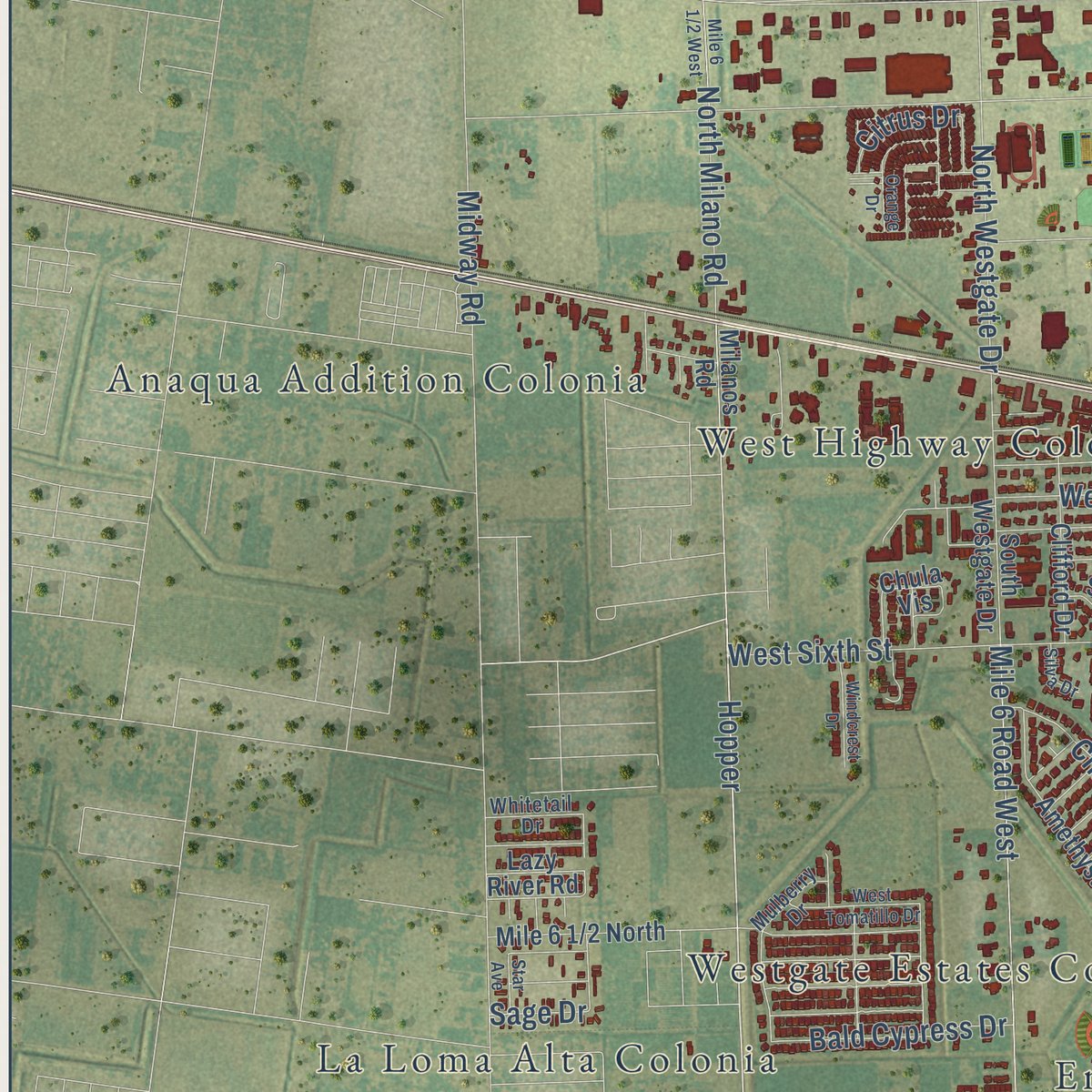
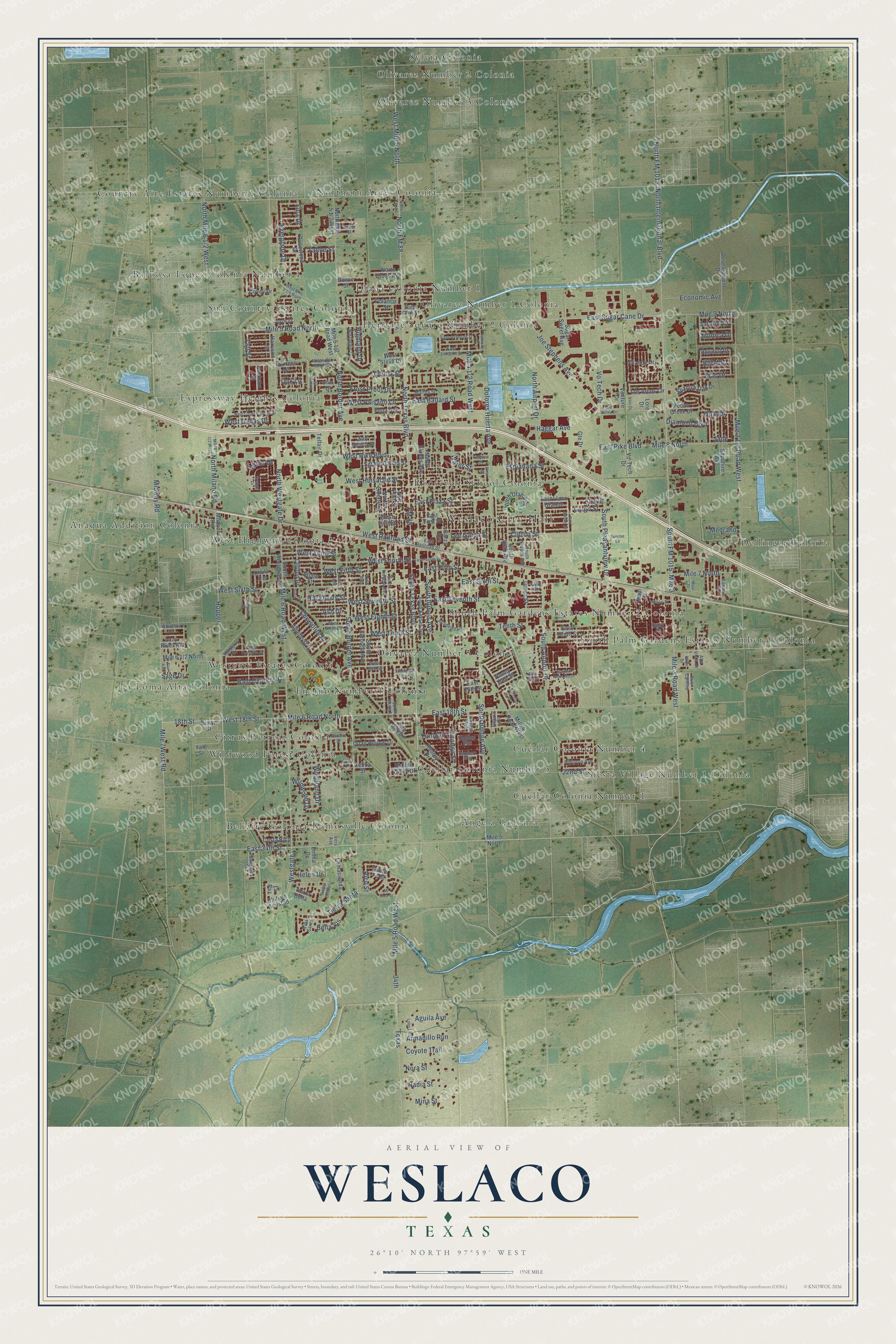
Explore Weslaco, Texas from a whole new perspective. Created using aerial imagery and detailed geographic data, this map captures Weslaco building by building, with labeled streets, familiar landmarks, and shaded topographical relief that highlights the natural contours of the landscape.
Combining modern data with the timeless character of a vintage atlas, this map is just as interesting up close as it is beautiful on the wall. Whether you grew up in Weslaco, spent memorable years there, or call it home today, this unique map is a great way to celebrate a place that means something to you. Zoom in on the preview to look for your street, and then order a print to put your memories on the wall.
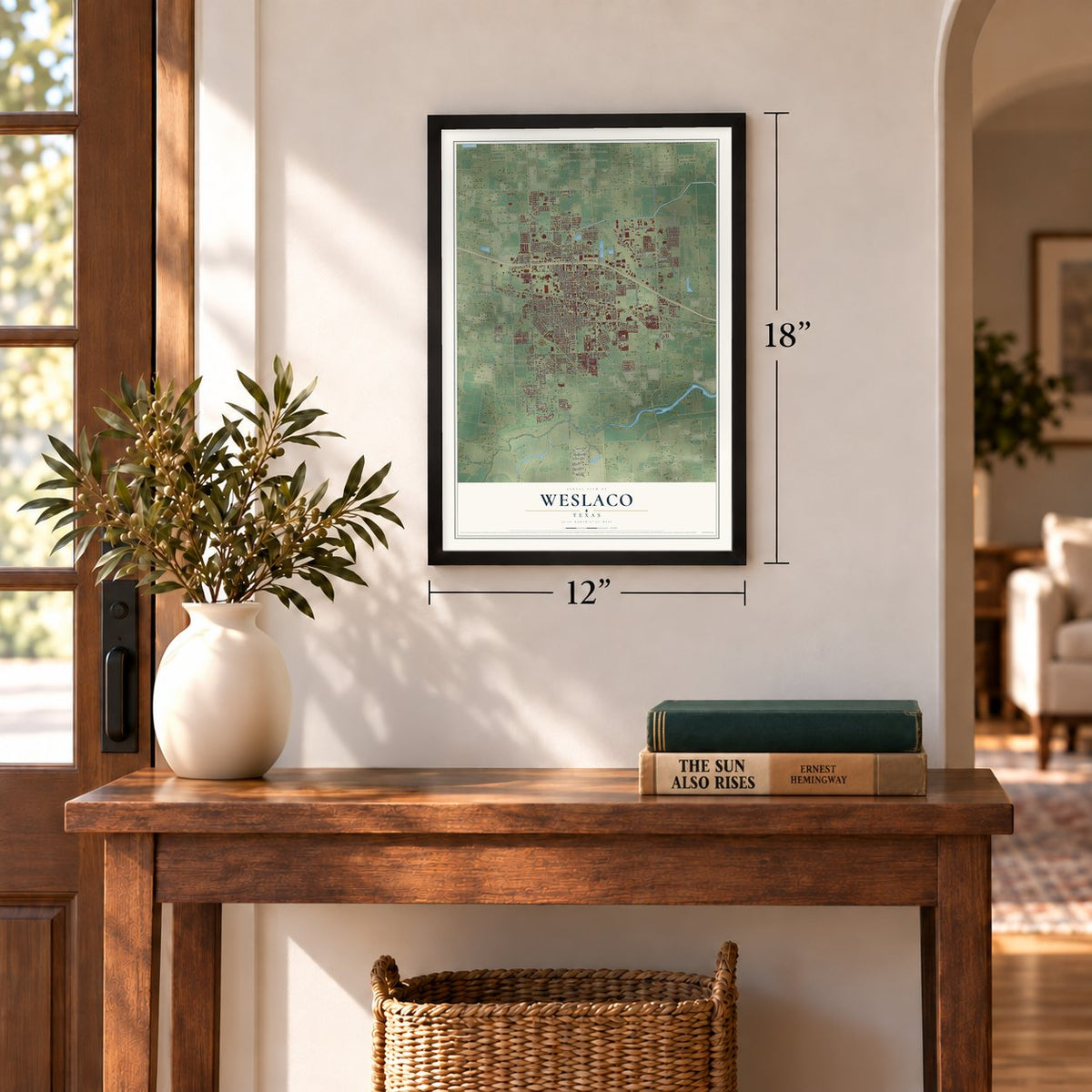
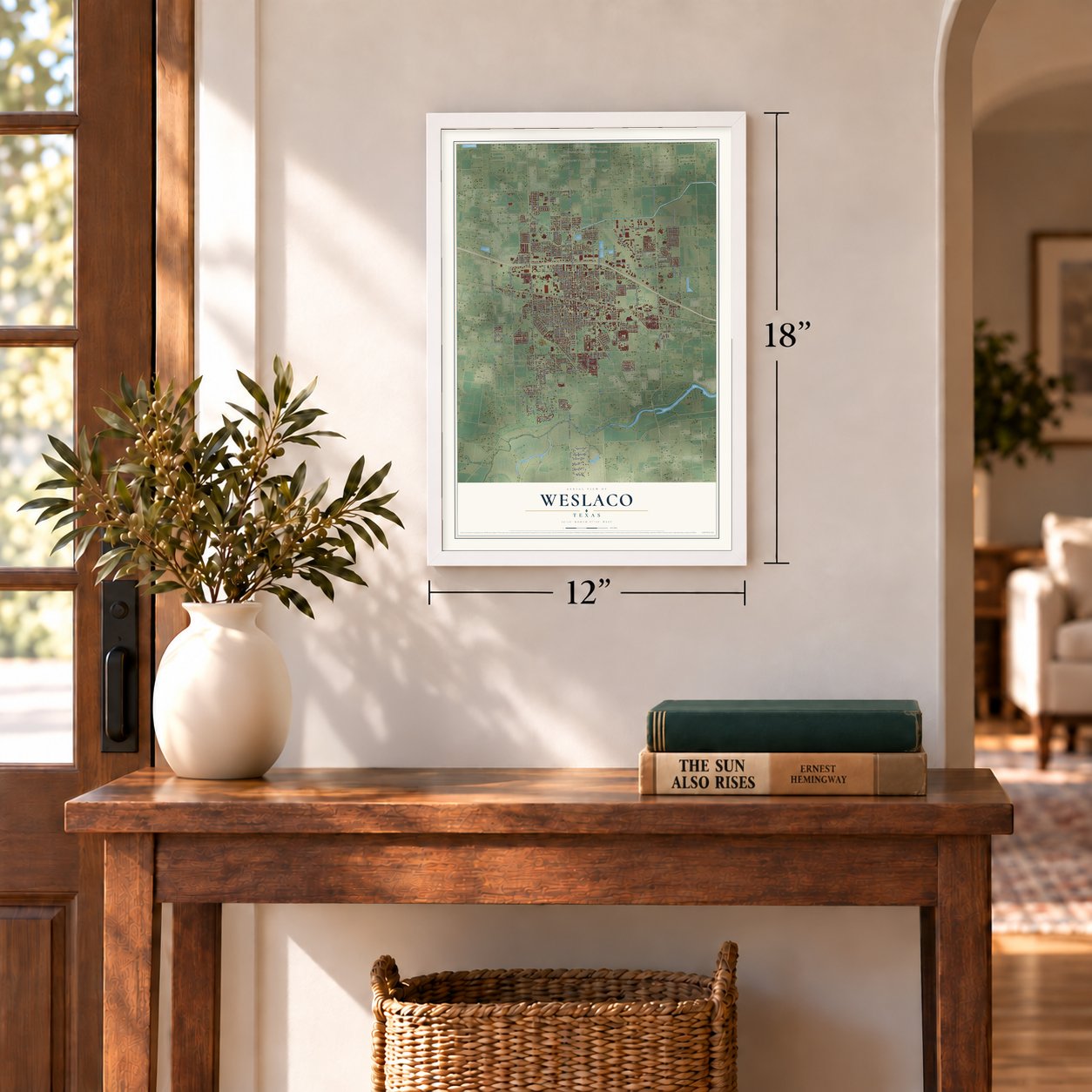
Three ways to hang it
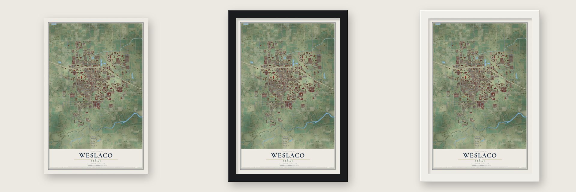
Unframed archival matte, a black wood frame or a white wood frame.
Up close
Geography Worth Displaying
This map was created using accurate cartographic data and authoritative geographic sources, including the U.S. Geological Survey and the Census Bureau. The map brings together terrain, waterways, roads, and building detail. The majority of the streets are labeled, houses are accurately depicted, and the topography is derived from government sources. Combining local data with carefully composed color and shading leads to this beautifully detailed Weslaco artwork for your wall.
Rather than simply showing street outlines, we’ve included as many of the street names as we could reasonably fit on the map while keeping their names legible. Zoom in on the high resolution preview to see exactly what’s on the map. We truly set out to create a statement piece for anyone who loves Weslaco. So whether it’s for you, or a gift for someone you love, we hope this map of Weslaco brings back fond memories.

Find your street
Names on the Weslaco map
Every name below is printed on this map. Look for your street, your school, the park where you played, or the pond down the road.
Places and landmarks31
- Weslaco City Hall
- Sylvia Colonia
- Bellaire Colonia
- Diana Colonia Number 1
- Dellinger Colonia
- Siesta Village Number 1 Colonia
- Encino Number 1 Colonia
- Barbosa-Lopez Colonia Number 1
- Anaqua Addition Colonia
- La Loma Alta Colonia
- South Palm Gardens Estates Number 1 Colonia
- Expressway Heights Colonia
Show all 31 places
- Angela Colonia
- Olivarez Number 5 Colonia
- Roosevelt School Colonia
- Northern Acres Colonia
- Cuellar Colonia Number 3
- West Highway Colonia
- Wildwood Forest Colonia
- Westgate Estates Colonia
- Country Aire Estates Number 1 Colonia
- Olivarez Number 1 Colonia
- Olivarez Number 3 Colonia
- Sun Country Estates Colonia
- Heritage Square Number 2 Colonia
- Ramosville Colonia
- Olivarez Number 2 Colonia
- Citrus Retreat Colonia
- Cuellar Colonia Number 4
- South Palm Gardens Estates Number 2 Colonia
- Cuellar Colonia Number 1
Streets and roads228
- North Texas Boulevard
- South Border Avenue
- South Texas Boulevard
- South FM 1015
- South Bridge Avenue
- FM 88
- Mile 6 Road North
- 18th Street
- West Mile 5 North
- West Seventh Street
- North International Boulevard
- North FM 88
- West 18th Street
- East Seventh Street
- Hopper
- East 18th Street
- West Huisache Street
- Mile 6 Road West
- Texas
- Mile 3 Road West
- East 34th Street
- Westgate
- Mile 9 Road North
- Taft Street
- Tahoe Street
- 34th
- East Pike Boulevard
- Mile 9 North
- North Westgate Drive
- Mile 5 Road West
Show all 228 streets
- East Sugar Cane Drive
- West Pike Boulevard
- Midway Road
- Mile 8 North
- North Border Avenue
- Vo Tech Drive
- West Sixth Street
- South Airport Drive
- Dolores Huerta Avenue
- East Sixth Street
- Tierra Santa
- North Airport Drive
- North FM 1015
- South Pleasantview Drive
- West Fourth Street
- West Third Street
- South Illinois Avenue
- Joe Stephens Avenue
- Mile 7 North
- West Fifth Street
- East Plaza Street
- West Eighth Street
- Esplanada Street
- Woodland Drive
- Sage Drive
- East Ballard Street
- North Milano Road
- Citrus Drive
- Delma Street
- Durango Street
- West Railroad Street
- Frost Proof Drive
- Largo Street
- West Tenth Street
- West Paisano Lane
- 22nd Street
- Economic Avenue
- Chrysolite Drive
- Bald Cypress Drive
- Everglade Drive
- East Fifth Street
- West Dallas Drive
- Nora Street
- Mina Street
- Coyote Trail
- Nadia Street
- Armadillo Run
- Wildwood Drive
- Diamond Boulevard
- Haggar Avenue
- Aguila Avenue
- Hackberry Street
- Highland Drive
- Lee Garza Street
- Clifton Street
- Medrano
- Ash Drive
- Bella Vis
- Tenth Street
- Trinidad
- Opal Drive
- Monica Drive
- Helen Drive
- Borg Drive
- Mac Drive
- Water Street
- Rico Street
- Fica Drive
- Oak Lane
- Jade
- Mile 3
- West First Street
- Mile 5 North
- East First Street
- Hidden Valley Drive
- Polanco Street
- South Westgate Drive
- North Illinois Avenue
- East Tenth Street
- North Utah Avenue
- Mile 4 Road West
- Quail Hollow Drive
- South Georgia Avenue
- Los Arcos Circle
- Sugar Sweet Avenue
- South Utah Avenue
- James Street
- Clifford Drive
- Stone Street
- Live Oak Drive
- North Pino Street
- Development Drive
- Amethyst Drive
- Harrison Street
- North Liberty Street
- Pecan Grove Drive
- Sgt Mc Garcia Street
- Audrey Drive
- La Hacienda
- Spanish Oak Drive
- Garza Avenue
- Milanos Road
- Rosewood Drive
- Main Street
- San Benito Street
- Sapphire Avenue
- Sabatini Drive
- North Cross Avenue
- Pena Avenue
- Vo-Tech Drive
- King Drive
- Costa Rico
- Aggassi Drive
- East Llano Grande
- Club de Amistad
- Chula Vis
- Emma Drive
- Cypress Drive
- Tierra Bella
- Bowie Street
- Dianne Drive
- Covey Drive
- Jackson Street
- Telfair Drive
- West Steve Drive
- Lilia Drive
- Yale Street
- Lazy River Road
- Honey Tree Street
- Brown Street
- Venture Drive
- Santa Fe Street
- East 16th Street
- Zelma Street
- Gte Drive
- Lore Drive
- La Paz
- South Kansas Avenue
- South Indiana Avenue
- Northgate Drive
- Mulberry Drive
- Vera Avenue
- South Nevada Avenue
- Martha Street
- East Lincoln Street
- West Ninth Street
- West 14th Street
- South Misty Lane
- East Railroad Street
- Hibiscus Avenue
- Sugar Cane Drive
- Sawgrass Street
- Villas del Norte Street
- Academy Drive
- Samaria Street
- Whitetail Drive
- Oregon Avenue
- Hombre Way
- Vida Santa
- Dover Street
- Natalie Street
- Joyce Street
- Guerra Street
- Alta Vista Drive
- Katie Street
- Buen Camino
- Daisy Street
- Tula Avenue
- East Fourth Street
- West Corpus Christi Drive
- Christian Court
- Playa Drive
- Mills Avenue
- Anacua Circle
- East Jefferson Street
- Orange Drive
- West Tomatillo Drive
- Palo Blanco Street
- Windcrest Drive
- Ranchero Way
- Spanish Moss North
- Kennedy Drive
- Southgate Boulevard
- Sunrise Lane
- Mid Valley Drive
- Willow Street
- Lobo Lane
- East 15th Street
- North Texas
- Moar Drive
- Rebecca Street
- Elma Street
- Silva Drive
- Vani Drive
- Lagos Verdes
- Mi Vida Street
- Star Avenue
- Sunny Drive
Names are listed as they appear on the printed map. Zoom into the product photos to find them.
About Weslaco, Texas
Weslaco is a city in Hidalgo County on a site that once formed part of the Llano Grande land grant. Surveyed and platted in 1919, the town later became a center for citrus and vegetable marketing and processing. Its civic history also includes a 1921 ordinance assigning Hispanic residences and businesses north of the railroad tracks and Anglo districts to the south.
- Name From a CompanyWeslaco's name derives from the W. E. Stewart Land Company, which purchased 30,000 acres in 1917.
- Townsite SaleLots were sold from December 8 through 10, 1919, for $50 to $400, while church groups received lots without charge.
- Institutions in 1921In 1921, Weslaco established an independent school district and its first high school, while the Texas Rangers opened a local station.
- Agricultural ResearchThe Valley Experiment Station opened under Texas A&M in 1923 and was later renamed the Texas A&M University Agricultural Research Center.
- 2020 PopulationThe source article reports that Weslaco had 40,160 residents in 2020.
Keep exploring Texas
Weslaco is one of 2,049 Texas towns we've mapped. Every dot on the map is a print of its own.
The search covers every state, Texas first.
Near Weslaco
Order 2 or more town maps and save 10%. Shown in the size and finish you picked above, so they hang as a set.
- Midway South 12" x 18" / Archival Matte Print $39.99
- Villa Verde 12" x 18" / Archival Matte Print $39.99
- Llano Grande 12" x 18" / Archival Matte Print $39.99


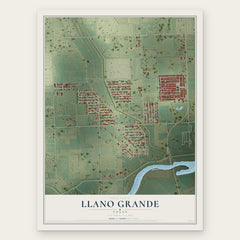
More maps nearby: Midway North, Donna, Scissors, Mila Doce and Mercedes.
The art of mapping a place
How This Map Was Made
Real places. Remarkable detail. Discover the layers that turn geographic data into a map of home.

The view from above
Aerial imagery reveals the character of the land: woodland, open fields, and the patterns of a place.

The shape of the land
Elevation data brings hills, valleys, and subtle changes in the landscape into view.

The details of home
Roads, waterways, and building footprints come together to make the map feel unmistakably local.

Geography becomes art
Considered color, shading, and typography bring the layers together in a map made for your wall.


Process illustrated with Mendon, Massachusetts. Aerial imagery: USDA NAIP. Terrain: USGS 3D Elevation Program. Map details and finished artwork: KNOWOL.
The Details
About This Print
Choose an archival matte print, or a black or white Ayous wood frame. The archival matte print is unframed.
Select your size and finish above to see the matching product image and price.
Materials & Craftsmanship
A contemporary map with the character of a classic atlas, printed on archival matte paper. Optional frames are made from Ayous wood.
Your printed map does not include the watermark shown in the full-map preview.
Shipping & Delivery
Free shipping within the United States. Every print is made to order in the USA.
Buying a gift? Add a note in your cart and we'll include it. We never put prices in the package.
Prints ship within 2 to 3 business days. Allow 7 to 10 days total from ordering for delivery. Timing may vary during holidays or periods of high order volume.
Read our shipping policy.
Returns and damaged prints
Each print is made to order. Change-of-mind refunds are not available after production.
If your print arrives damaged, misprinted or incorrect, contact support@knowol.com within 30 days of receiving it. Include your order number, photos and a description of the issue.
Read our full refund and replacement policy. For questions about your order, email support@knowol.com.