
Search for another town
Free U.S. delivery 7 to 10 days after you order
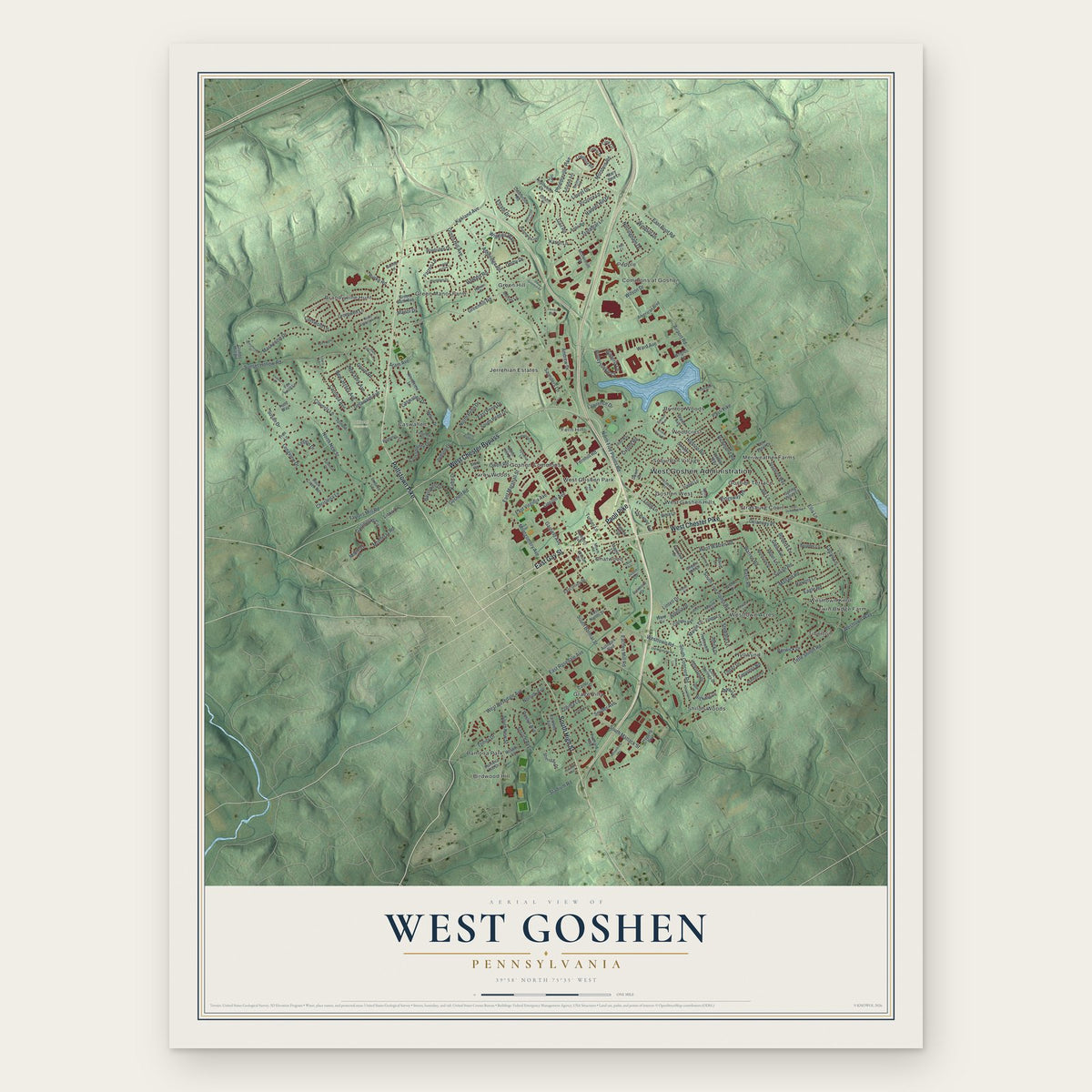
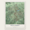
West Goshen, Pennsylvania Map Art
Building by building, with labeled streets and shaded relief.
12" x 18" Archival Matte Print
A Map of Home. A Work of Art.
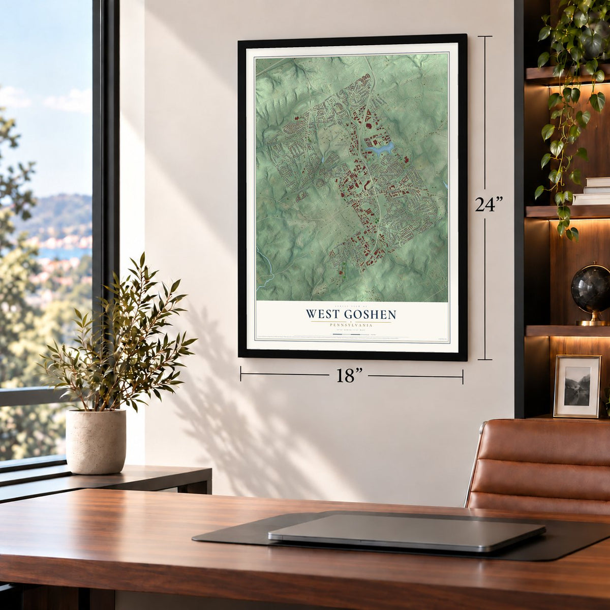
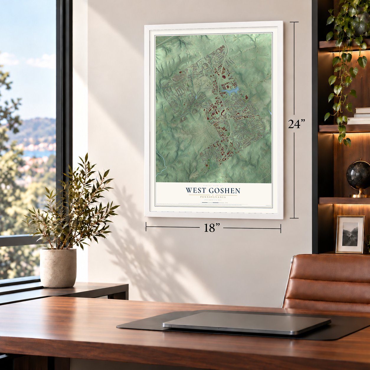
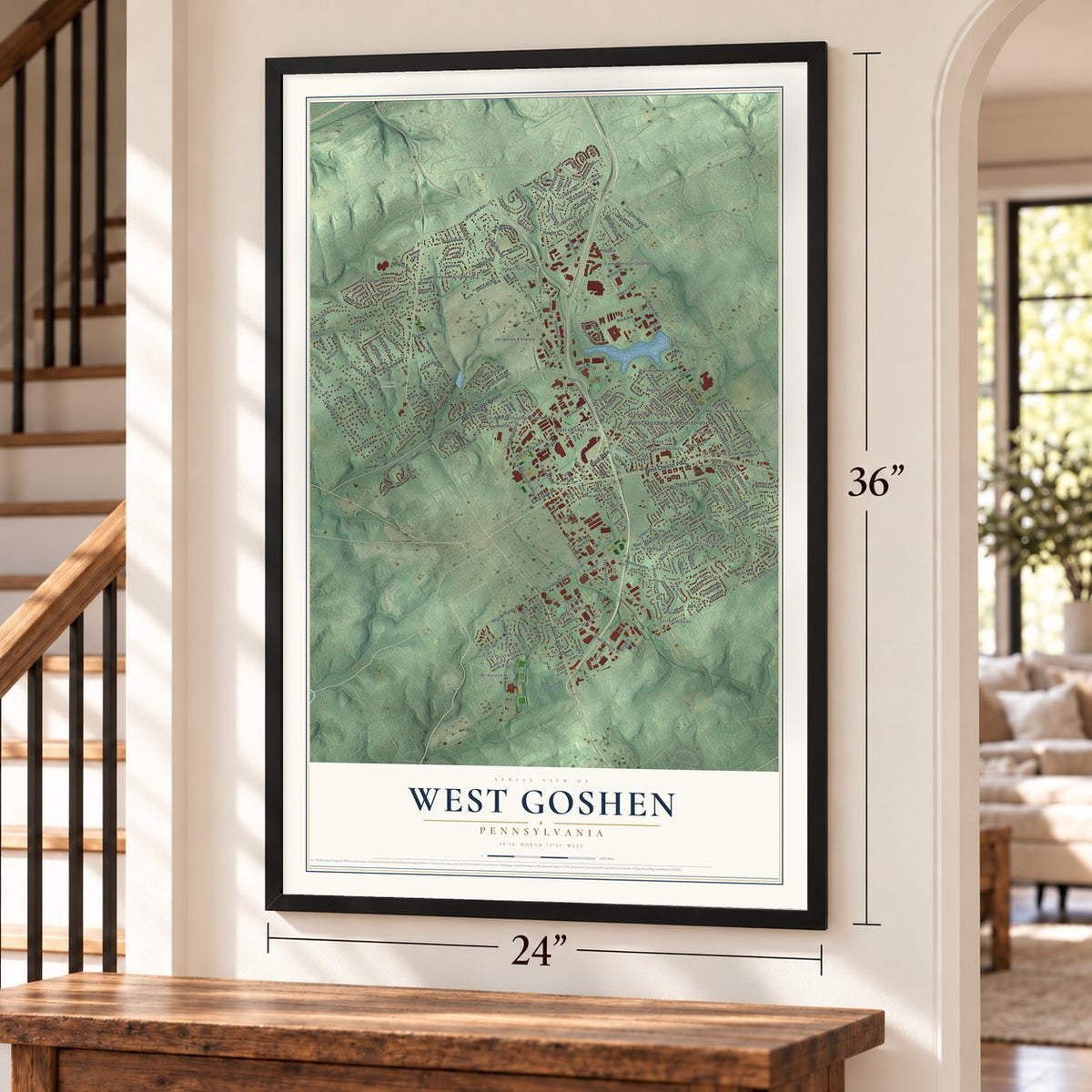
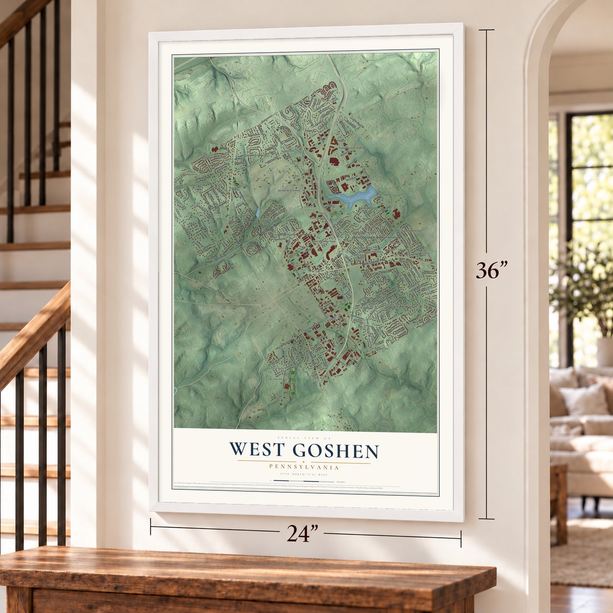
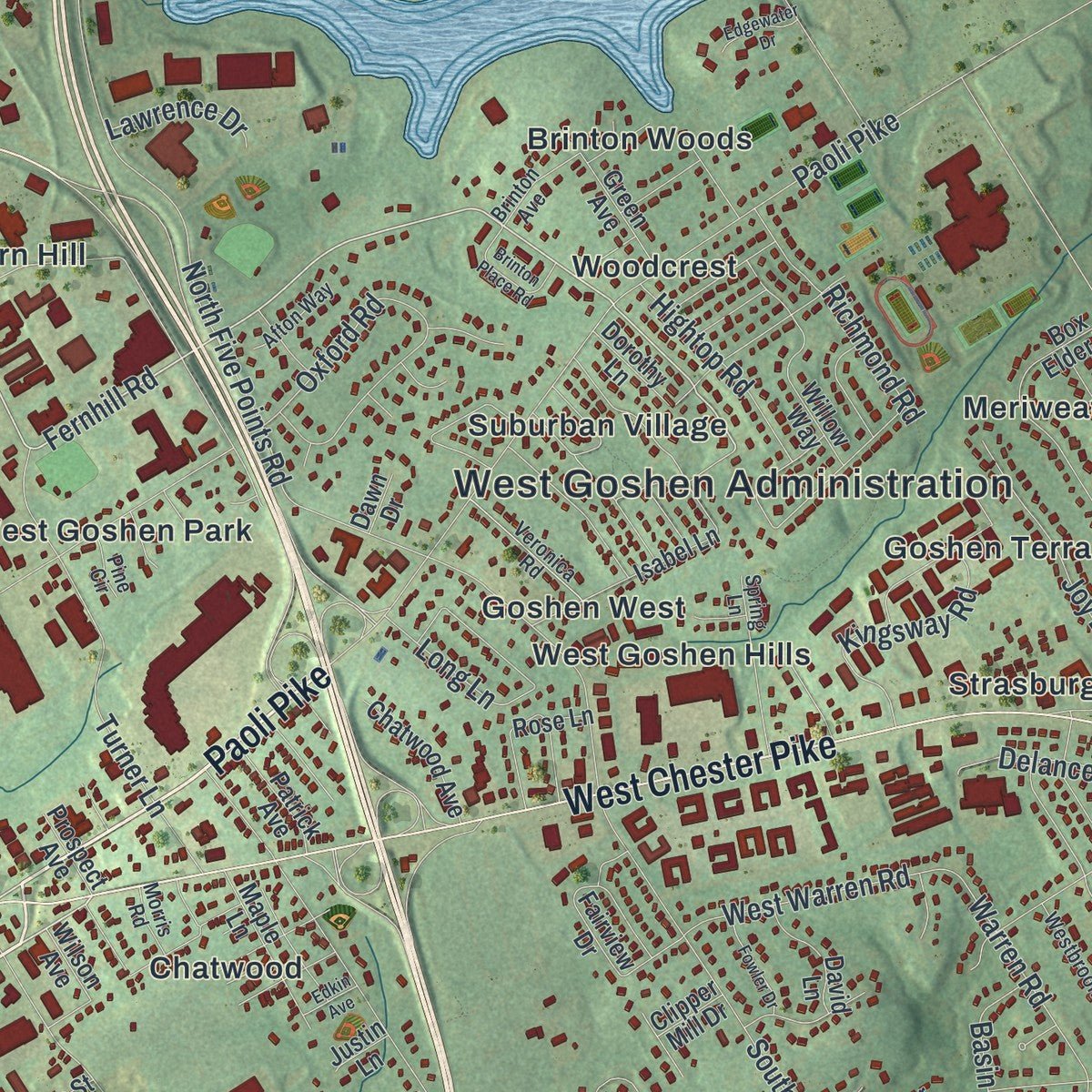
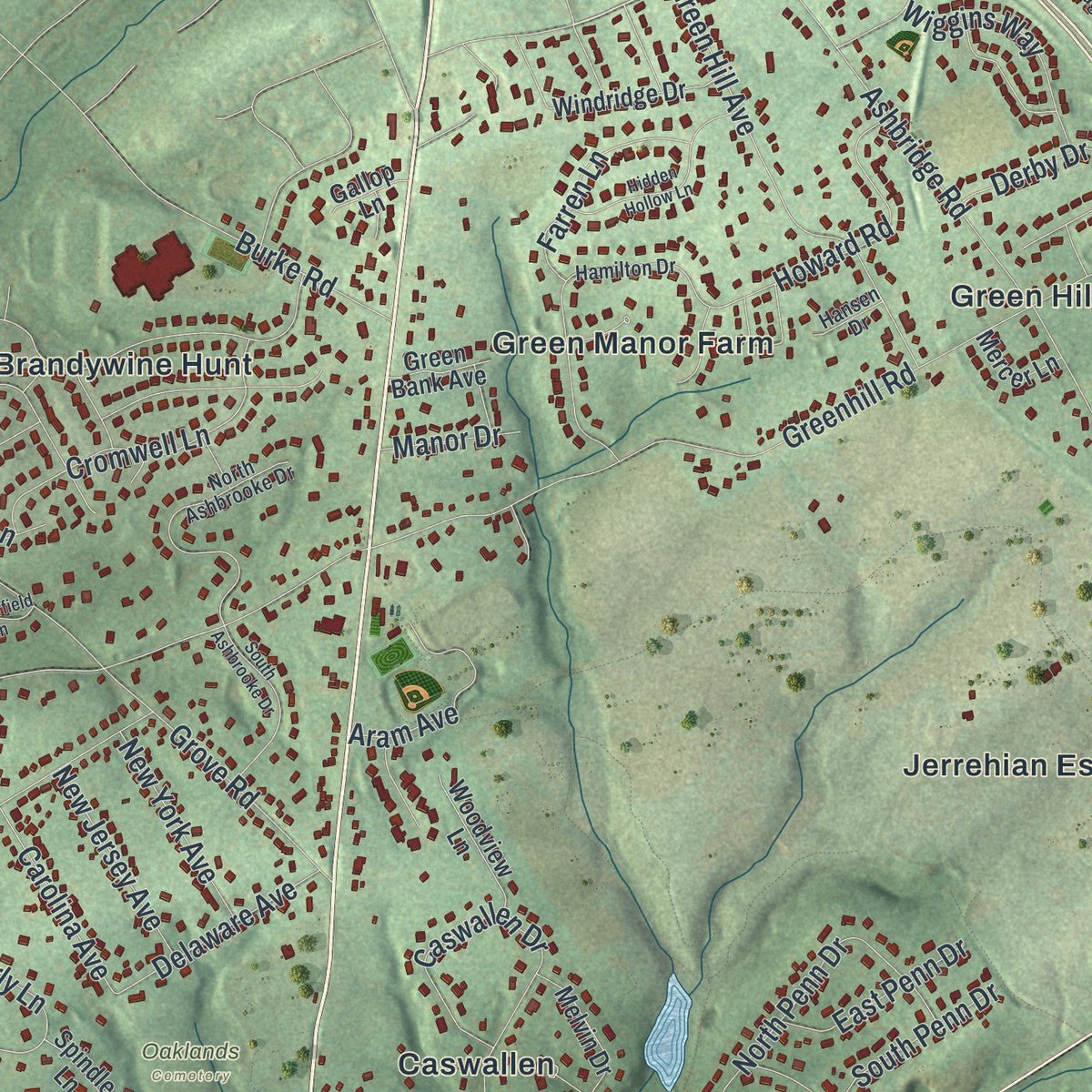
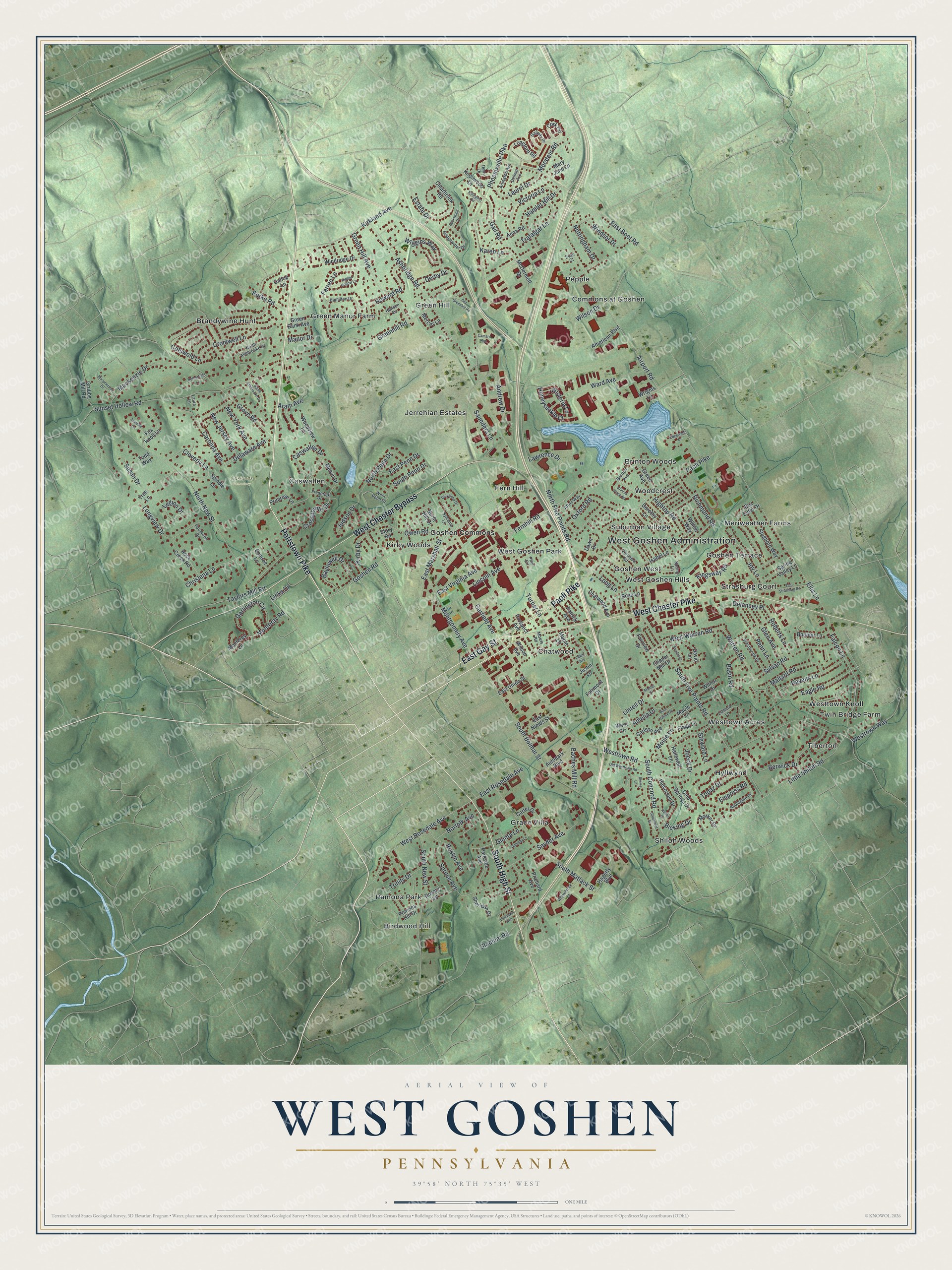
Explore West Goshen, Pennsylvania from a whole new perspective. Created using aerial imagery and detailed geographic data, this map captures West Goshen building by building, with labeled streets, familiar landmarks, and shaded topographical relief that highlights the natural contours of the landscape.
Combining modern data with the timeless character of a vintage atlas, this map is just as interesting up close as it is beautiful on the wall. Whether you grew up in West Goshen, spent memorable years there, or call it home today, this unique map is a great way to celebrate a place that means something to you. Zoom in on the preview to look for your street, and then order a print to put your memories on the wall.
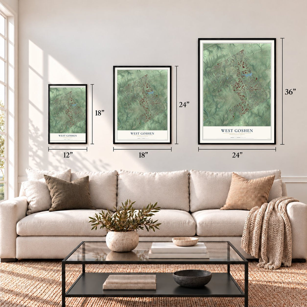
Three ways to hang it
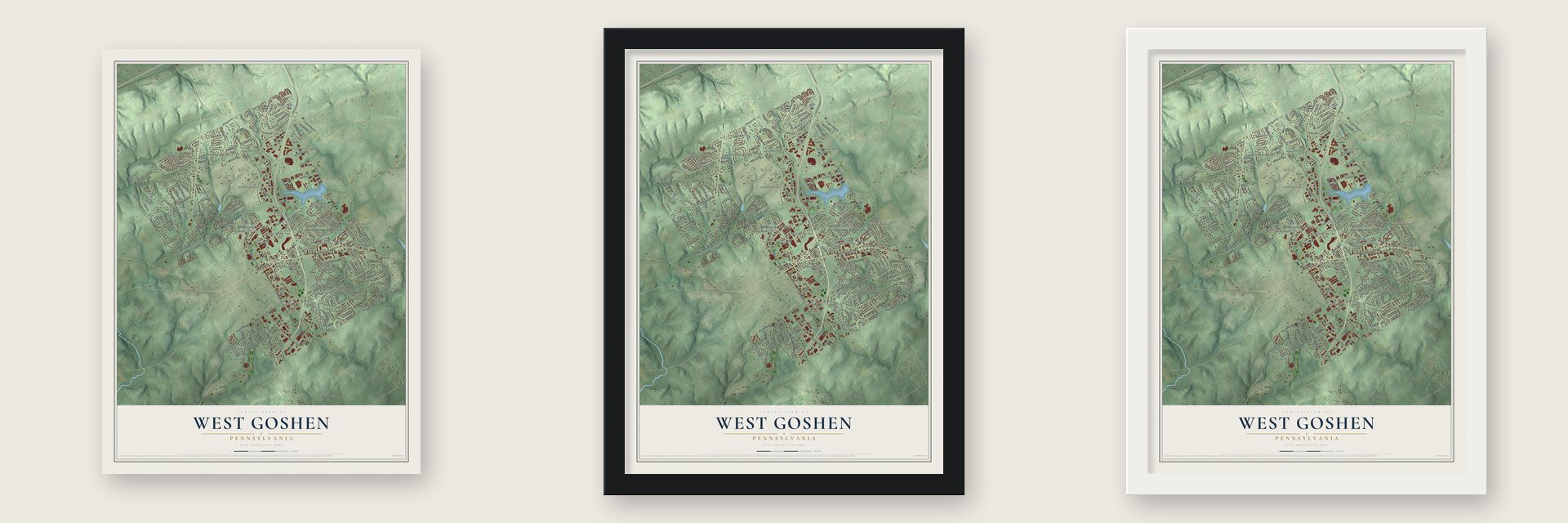
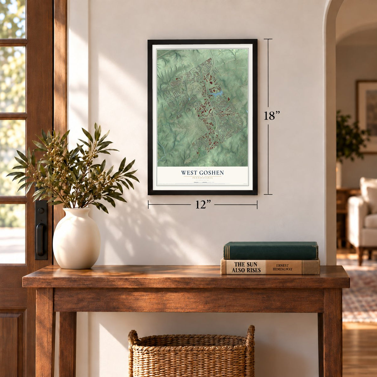
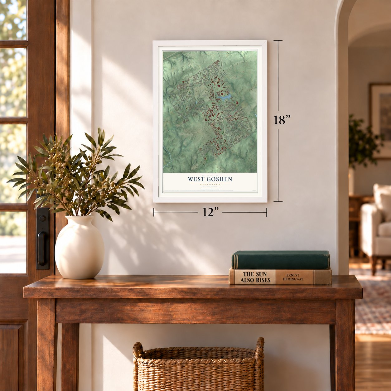
Unframed archival matte, a black wood frame or a white wood frame.
Up close
Geography Worth Displaying
This map was created using accurate cartographic data and authoritative geographic sources, including the U.S. Geological Survey and the Census Bureau. The map brings together terrain, waterways, roads, and building detail. The majority of the streets are labeled, houses are accurately depicted, and the topography is derived from government sources. Combining local data with carefully composed color and shading leads to this beautifully detailed West Goshen artwork for your wall.
Rather than simply showing street outlines, we’ve included as many of the street names as we could reasonably fit on the map while keeping their names legible. Zoom in on the high resolution preview to see exactly what’s on the map. We truly set out to create a statement piece for anyone who loves West Goshen. So whether it’s for you, or a gift for someone you love, we hope this map of West Goshen brings back fond memories.
Read the story behind this map of West Goshen, Pennsylvania from 2026.
Find your street
Names on the West Goshen map
Every name below is printed on this map. Look for your street, your school, the park where you played, or the pond down the road.
Places and landmarks31
- West Goshen Administration
- Oaklands Cemetery
- Birdwood Hill
- Brandywine Hunt
- Brinton Woods
- Caswallen
- Chatwood
- Commons at Goshen
- Fern Hill
- Goshen Commons
- Goshen Terrace
- Goshen West
Show all 31 places
- Grace Villa
- Green Hill
- Green Manor Farm
- Hyllwynd
- Jerrehian Estates
- Kirby Woods
- Meriweather Farms
- Pamona Park
- Pepple
- Shiloh Woods
- Strasburg Court
- Suburban Village
- Tiberton
- Twin Bridge Farm
- West Goshen Hills
- West Goshen Park
- Westtown Acres
- Westtown Knoll
- Woodcrest
Streets and roads232
- Pottstown Pike
- Paoli Pike
- East Gay Street
- South High Street
- West Chester Bypass
- West Chester Pike
- Fernhill Road
- Goshen Road
- Kirkland Avenue
- North New Street
- West Rosedale Avenue
- Moule Lane
- Westtown Road
- Phoenixville Pike
- Greenhill Road
- North Five Points Road
- Airport Road
- South Concord Road
- South Five Points Road
- South Bolmar Street
- Sunset Hollow Road
- Little Shiloh Road
- Ellis Lane
- Ashbridge Road
- East Boot Road
- South Matlack Street
- Grove Road
- Lincoln Avenue
- Caswallen Drive
- Mackenzie Drive
Show all 232 streets
- Ward Avenue
- Falcon Lane
- Taylors Mill Road
- North Penn Drive
- Snyder Avenue
- Chrislena Lane
- South New Street
- Cotswold Lane
- Sylvan Road
- Mallard Road
- Turner Lane
- Warren Road
- Green Hill Avenue
- Spruce Avenue
- Cromwell Lane
- Oxford Road
- Stadium Road
- Howard Road
- Eagle Road
- Montgomery Avenue
- Longview Drive
- Glen Avenue
- Owen Road
- Andrew Drive
- Cloverly Lane
- Hamlet Hill Drive
- Garlington Circle
- Carolina Avenue
- Legion Drive
- Baylowell Drive
- Victoria Lane
- Susan Drive
- Ravens Lane
- Penn Lane
- Farren Lane
- Joy Lane
- Garfield Avenue
- Derby Drive
- Kingsway Road
- Crosspointe Drive
- Monteray Road
- Lintell Drive
- Saunders Lane
- Laurel Drive
- West Warren Road
- Trafalgar Lane
- Topaz Drive
- Richmond Road
- Berwick Drive
- East Rosedale Avenue
- South Penn Drive
- Wiggins Way
- Aram Avenue
- East Marshall Street
- Roslyn Avenue
- Empress Road
- Windsor Drive
- Delaware Avenue
- Honeysuckle Court
- Hightop Road
- Roberts Lane
- Nottingham Drive
- Norfolk Avenue
- New Jersey Avenue
- New York Avenue
- Judson Drive
- Trinity Drive
- Basin Road
- East Virginia Avenue
- East Penn Drive
- Burke Road
- Morstein Road
- Gail Road
- Wilson Drive
- Links Drive
- Kirby Drive
- Wisteria Lane
- Eaches Mill Road
- Delancey Place
- Karen Lane
- Long Lane
- Westtown Way
- Amelia Drive
- Lawrence Drive
- Estate Drive
- Giunta Lane
- Steward Lane
- Manor Drive
- Bicking Drive
- Joeck Drive
- Maule Lane
- Longford Road
- Box Elder Drive
- North Hill Drive
- Halvorsen Drive
- Monterey Lane
- Rock Creek Road
- Clearbrook Road
- Willow Way
- Staghorn Way
- Knollwood Drive
- Melvin Drive
- Mary Jane Lane
- Isabel Lane
- Hagerty Boulevard
- Fox Knoll Lane
- Autopark Boulevard
- Parkside Avenue
- McDermott Drive
- Anna Road
- Cork Circle
- Rosary Lane
- Maple Lane
- Carlson Avenue
- Windridge Drive
- Spring Valley Lane
- Rose Lane
- Marker Drive
- Chatwood Avenue
- East Nields Street
- Hallowell Lane
- Woodview Lane
- American Boulevard
- Grubbs Mill Road
- Boulder Lane
- Green Avenue
- Prichard Avenue
- East Union Street
- Sheridan Drive
- Patrick Avenue
- David Lane
- Primrose Lane
- Cold Springs Drive
- Carter Drive
- Todd Way
- Wilnor Drive
- Fairview Drive
- Flagg Lane
- Dorothy Lane
- Pomona Hill Drive
- Mercer Lane
- Green Bank Avenue
- Embree Lane
- Tree Lane
- Wrights Lane
- Prospect Avenue
- Fairmont Drive
- Gallop Lane
- Wilson Avenue
- Spindle Lane
- Clipper Mill Drive
- Story Road
- Ware Circle
- Justin Lane
- Dawn Drive
- Applegate Drive
- Hamilton Drive
- Bridgewater Drive
- Edward Lane
- North Ashbrooke Drive
- West Penn Drive
- Spring Lane
- Westbrook Drive
- Brinton Avenue
- Galway Drive
- Veronica Road
- Arlington Avenue
- Frederick Drive
- Derry Lane
- Delmar Avenue
- Afton Way
- Sylvania Lane
- Fairbrook Drive
- Hansen Drive
- Morris Road
- Pine Circle
- Laura Lane
- Evan Court
- Yorktown Avenue
- Old Westtown Road
- Greystone Drive
- East Strasburg Road
- South Ashbrooke Drive
- Shaumont Drive
- Hidden Hollow Lane
- Old Greenhill Road
- Pine Valley Circle
- Brinton Place Road
- Macpherson Drive
- Willowbrook Lane
- Fowler Drive
- Amanda Lane
- Anthony Lane
- Netherfield Lane
- Edgewater Drive
- Rockwood Drive
- Huber Place
- Killington Circle
- Camaro Run
- Reims Lane
- Edkin Avenue
- Mantel Drive
Names are listed as they appear on the printed map. Zoom into the product photos to find them.
About West Goshen, Pennsylvania
From the A History of Chester County: "Green Hill Station and Fern Hill, north of West Chester, are the two villages in West Goshen Township. They are situated on the branch line of the Pennsylvania Railroad that extends from West Chester to Frazer on the main line."
Keep exploring Pennsylvania
West Goshen is one of 3,725 Pennsylvania towns we've mapped. Every dot on the map is a print of its own.
The search covers every state, Pennsylvania first.
Near West Goshen
Order 2 or more town maps and save 10%. Shown in the size and finish you picked above, so they hang as a set.
- Fern Hill 12" x 18" / Archival Matte Print $39.99
- West Chester 12" x 18" / Archival Matte Print $39.99
- East Goshen 12" x 18" / Archival Matte Print $39.99
More maps nearby: East Bradford, Westtown, West Whiteland, Sugartown and Thornbury.
The art of mapping a place
How This Map Was Made
Real places. Remarkable detail. Discover the layers that turn geographic data into a map of home.

The view from above
Aerial imagery reveals the character of the land: woodland, open fields, and the patterns of a place.

The shape of the land
Elevation data brings hills, valleys, and subtle changes in the landscape into view.

The details of home
Roads, waterways, and building footprints come together to make the map feel unmistakably local.

Geography becomes art
Considered color, shading, and typography bring the layers together in a map made for your wall.


Process illustrated with Mendon, Massachusetts. Aerial imagery: USDA NAIP. Terrain: USGS 3D Elevation Program. Map details and finished artwork: KNOWOL.
The Details
About This Print
Choose an archival matte print, or a black or white Ayous wood frame. The archival matte print is unframed.
Select your size and finish above to see the matching product image and price.
Materials & Craftsmanship
A contemporary map with the character of a classic atlas, printed on archival matte paper. Optional frames are made from Ayous wood.
Your printed map does not include the watermark shown in the full-map preview.
Shipping & Delivery
Free shipping within the United States. Every print is made to order in the USA.
Buying a gift? Add a note in your cart and we'll include it. We never put prices in the package.
Prints ship within 2 to 3 business days. Allow 7 to 10 days total from ordering for delivery. Timing may vary during holidays or periods of high order volume.
Read our shipping policy.
Returns and damaged prints
Each print is made to order. Change-of-mind refunds are not available after production.
If your print arrives damaged, misprinted or incorrect, contact support@knowol.com within 30 days of receiving it. Include your order number, photos and a description of the issue.
Read our full refund and replacement policy. For questions about your order, email support@knowol.com.