


Search for another town





Free U.S. delivery 7 to 10 days after you order
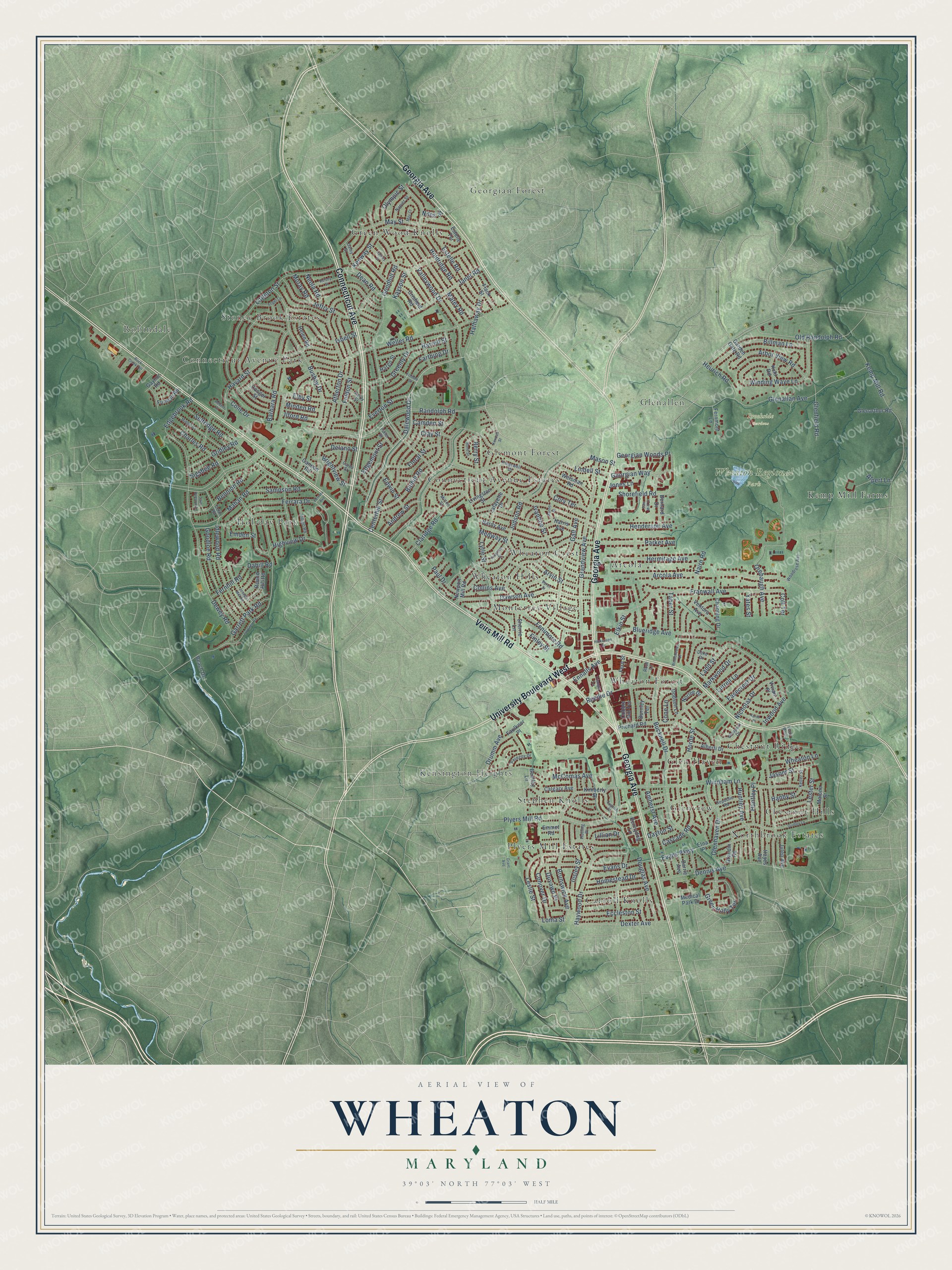
Wheaton, Maryland Map Art
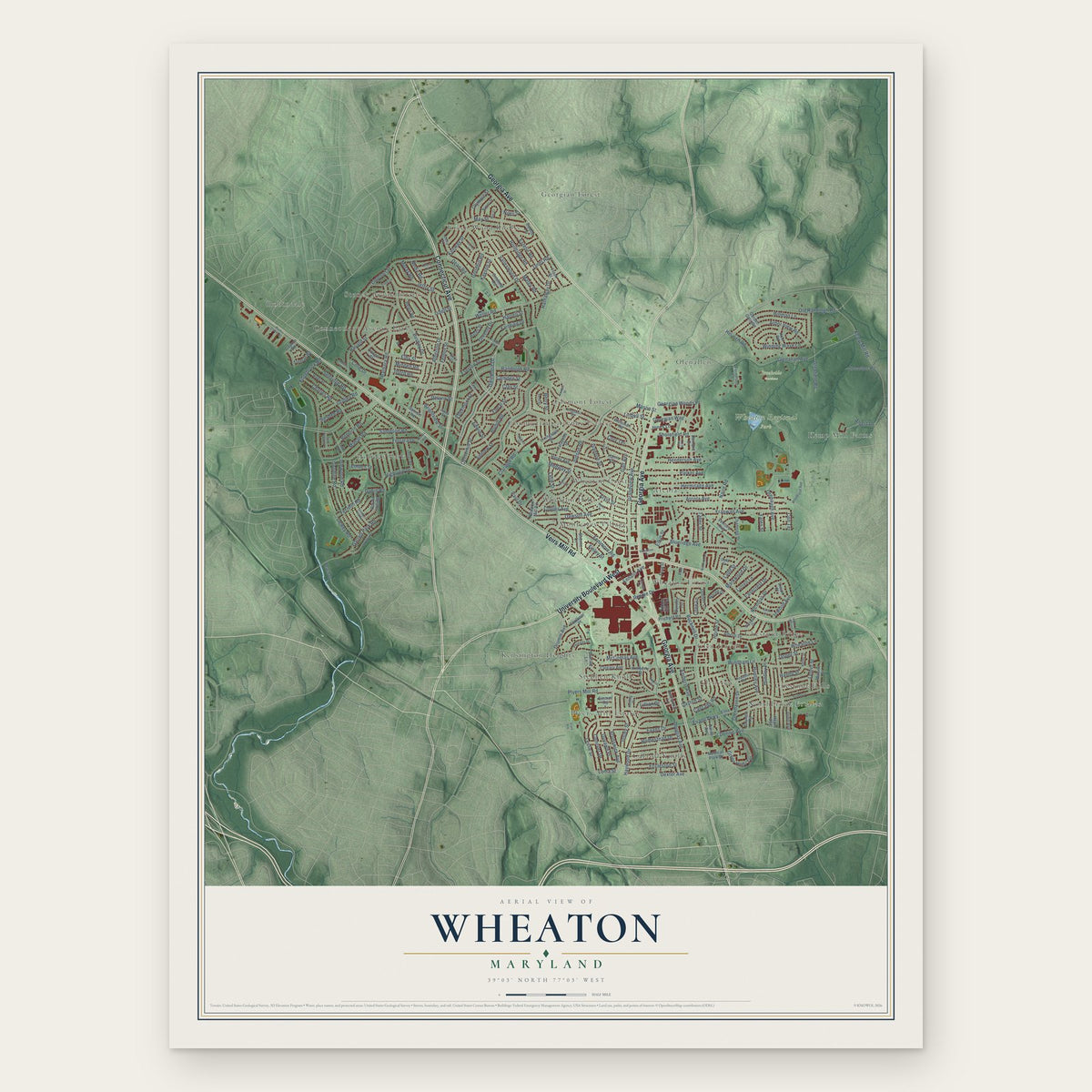
Building by building, with labeled streets and shaded relief.
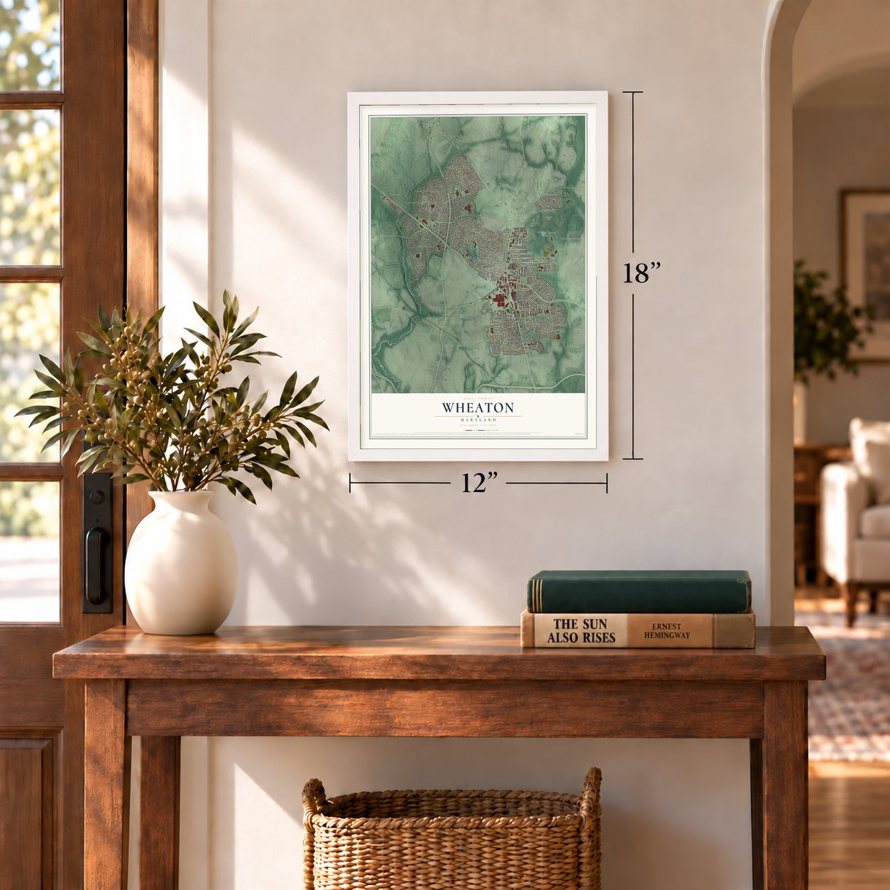
12" x 18" Archival Matte Print
A Map of Home. A Work of Art.
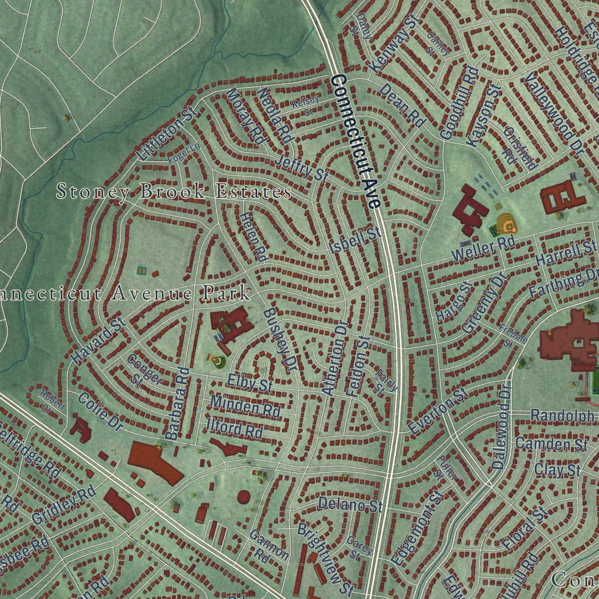
Explore Wheaton, Maryland from a whole new perspective. Created using aerial imagery and detailed geographic data, this map captures Wheaton building by building, with labeled streets, familiar landmarks, and shaded topographical relief that highlights the natural contours of the landscape.
Combining modern data with the timeless character of a vintage atlas, this map is just as interesting up close as it is beautiful on the wall. Whether you grew up in Wheaton, spent memorable years there, or call it home today, this unique map is a great way to celebrate a place that means something to you. Zoom in on the preview to look for your street, and then order a print to put your memories on the wall.
Three ways to hang it
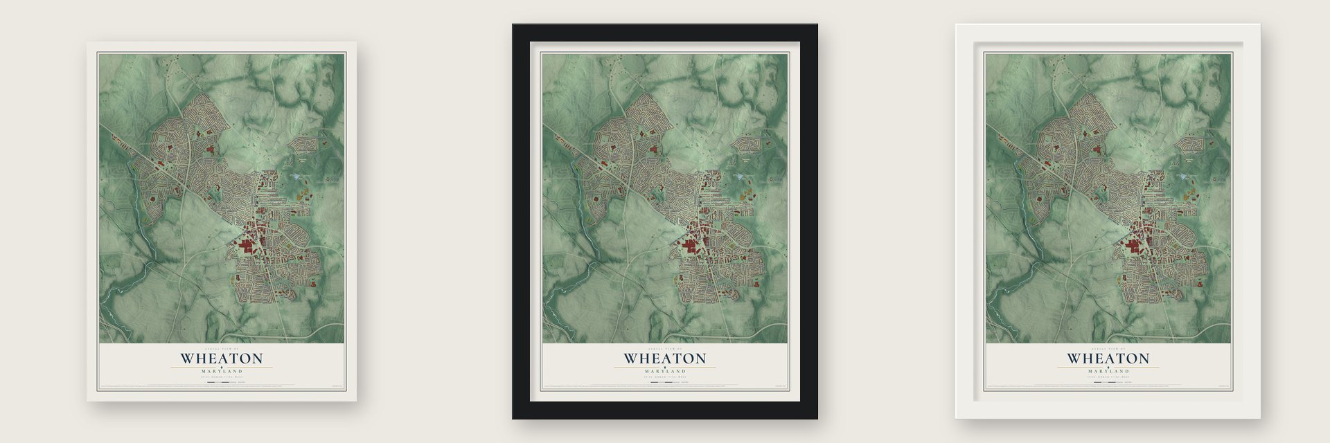
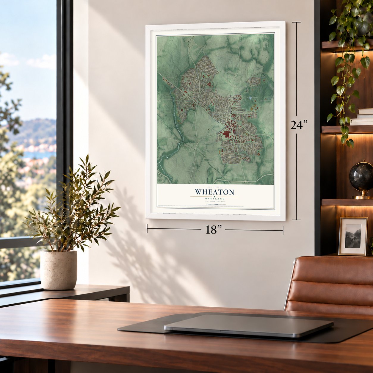
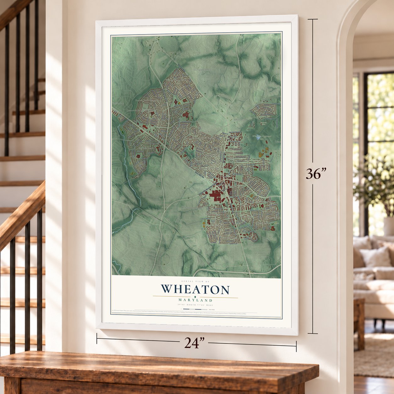
Unframed archival matte, a black wood frame or a white wood frame.
Up close
Geography Worth Displaying
This map was created using accurate cartographic data and authoritative geographic sources, including the U.S. Geological Survey and the Census Bureau. The map brings together terrain, waterways, roads, and building detail. The majority of the streets are labeled, houses are accurately depicted, and the topography is derived from government sources. Combining local data with carefully composed color and shading leads to this beautifully detailed Wheaton artwork for your wall.
Rather than simply showing street outlines, we’ve included as many of the street names as we could reasonably fit on the map while keeping their names legible. Zoom in on the high resolution preview to see exactly what’s on the map. We truly set out to create a statement piece for anyone who loves Wheaton. So whether it’s for you, or a gift for someone you love, we hope this map of Wheaton brings back fond memories.
Read the story behind this map of Wheaton, Maryland from 2026.

Find your street
Names on the Wheaton map
Every name below is printed on this map. Look for your street, your school, the park where you played, or the pond down the road.
Places and landmarks26
- Brookside Gardens
- Wheaton Regional Park
- Arcola
- Carroll Knolls
- Chestnut Hills
- Chestnut Ridge
- Connecticut Avenue Estates
- Connecticut Avenue Park
- Georgian Forest
- Glemont Forest
- Glen Haven
- Glenallen
Show all 26 places
- Glenview
- Green Wood Knolls
- Holiday Park
- Kemp Mill Farms
- Kensington Heights
- Monterrey Village
- Northbrook Estates
- Plyers Mill Estates
- Robindale
- Stephen Knolls
- Stoney Brook Estates
- Wheaton Crest
- Wheaton Forest
- Wheaton Hills
Streets and roads237
- Connecticut Avenue
- Georgia Avenue
- Veirs Mill Road
- University Boulevard West
- Dalewood Drive
- Goodhill Road
- Franwall Avenue
- Lindell Street
- Randolph Road
- Valleywood Drive
- Dennis Avenue
- Amherst Avenue
- Weller Road
- Bluhill Road
- Arcola Avenue
- Henderson Avenue
- Dewey Road
- Blueridge Avenue
- Grandview Avenue
- Parker Avenue
- Bucknell Drive
- Littleton Street
- Windham Lane
- Plyers Mill Road
- Atherton Drive
- Bushey Drive
- Kemp Mill Road
- Ferrara Drive
- Isbell Street
- Charles Road
Show all 237 streets
- Selfridge Road
- Orebaugh Avenue
- Glenallan Avenue
- Inwood Avenue
- Kayson Street
- Judson Road
- Claridge Road
- Holdridge Road
- Greenly Drive
- Reedie Drive
- Brunswick Avenue
- Galt Avenue
- Havard Street
- Winding Waye Lane
- Jeffry Street
- Dawson Avenue
- Garrett Park Road
- Douglas Avenue
- Ladd Street
- Centerhill Street
- Elby Street
- Dean Road
- Mahan Road
- Dayton Street
- Matey Road
- Janet Road
- McComas Avenue
- Evans Drive
- May Street
- Medway Street
- Feldon Street
- Hermitage Avenue
- Idlewood Road
- Georgian Woods Place
- Billman Lane
- Goodloe Road
- Haywood Drive
- Old Randolph Road
- Nairn Road
- Eccleston Street
- Elkin Street
- Barbara Road
- Glenhaven Drive
- Dexter Avenue
- Huntley Avenue
- Cory Terrace
- Estelle Road
- Everton Street
- Arbor View Road
- Green Holly Terrace
- Hathaway Drive
- Farthing Drive
- Fenimore Road
- Dahill Road
- Bennion Road
- Colie Drive
- Horde Street
- Paul Drive
- Conover Drive
- Harrell Street
- Leslie Street
- Insley Street
- Gridley Road
- Shorefield Road
- Evans Parkway
- Brightview Street
- Berry Street
- Drumm Avenue
- Sampson Road
- Cascade Road
- Easecrest Drive
- Floral Street
- Nicholas Drive
- Homestead Drive
- Highview Drive
- Sigsbee Road
- Glenfield Road
- Lester Street
- Andrew Street
- Delano Street
- Arvin Street
- Wheaton Lane
- Huntley Place
- Heurich Road
- Kenway Street
- Georgian Way
- Ivanhoe Street
- Collins Avenue
- Markwood Drive
- Fernhill Road
- Mason Street
- Duvawn Place
- Olympic Street
- Jasper Street
- Edgemont Street
- Edgebrook Road
- Edwin Street
- Taber Street
- Lillian Drive
- Lutrell Lane
- Ennalls Avenue
- Minden Road
- Ilford Road
- Jones Lane
- Neola Road
- Emden Street
- Camden Street
- Hanby Street
- Moray Road
- Cone Lane
- Clay Street
- Alpert Lane
- Lytle Street
- Loma Street
- Yates Street
- Finley Street
- Colt Terrace
- Niles Street
- Weisman Road
- Hardy Avenue
- Harris Avenue
- Hayes Avenue
- Prichard Road
- Alberti Drive
- Medical Park Drive
- Livingston Street
- Flack Street
- Crisfield Road
- Channing Drive
- Kimberly Street
- Round Hill Road
- Malone Street
- Newport Mill Road
- Glenarthur Road
- Bentley Lane
- Burnley Terrace
- Grandin Road
- Estelle Terrace
- Julep Avenue
- Fern Street
- Sherrie Lane
- Kuhl Road
- Calgary Avenue
- Lafayette Drive
- Ventura Avenue
- Bernard Drive
- Norlee Drive
- Faulkner Place
- Dodson Lane
- Cobble Hill Terrace
- Conger Street
- Helen Road
- Pennydog Lane
- Fernmont Lane
- Furman Road
- Gannon Road
- Vivian Place
- Hargo Street
- Barrie Avenue
- Beach Drive
- Gaynor Road
- Garden Gate Road
- Emmet Road
- Etna Place
- Kingswell Drive
- Republic Road
- Milton Street
- Indigo Road
- Hutting Place
- Carey Street
- Glenpark Drive
- Woodrose Avenue
- Napier Street
- Colin Road
- Peregoy Drive
- Daley Street
- Fuller Street
- Fairly Street
- Keller Street
- Duke Drive
- Rose Lane
- Gridley Lane
- Westchester Drive
- Kingtree Street
- Ivy Glen Road
- Middle Road
- Joseph Mill Road
- Byron Street
- Rock Creek Terrace
- Kendall Street
- Rocky Mount
- Bond Street
- Triangle Lane
- Kelsey Street
- Fogel Lane
- Korth Place
- Eugene Street
- Fredale Street
- Garner Street
- Hickerson Drive
- Carney Street
- Saint Dunston Lane
- Saw Mill Court
- Robert Court
- May Court
- Ferrara Avenue
- Grant Avenue
Names are listed as they appear on the printed map. Zoom into the product photos to find them.
About Wheaton, Maryland
From the Montgomery County Planning Department: "Two Wheaton sites are landmarks in the history of communications technologies. The Jenkins Broadcasting Station (1929) was the center of operations for television pioneer Charles Francis Jenkins."
Keep exploring Maryland
Wheaton is one of 881 Maryland towns we've mapped. Every dot on the map is a print of its own.
The search covers every state, Maryland first.
Near Wheaton
Order 2 or more town maps and save 10%. Shown in the size and finish you picked above, so they hang as a set.
- North Kensington 12" x 18" / Archival Matte Print $39.99
- Glenmont 12" x 18" / Archival Matte Print $39.99
- Kensington 12" x 18" / Archival Matte Print $39.99


More maps nearby: Kemp Mill, Garrett Park, Forest Glen, South Kensington and Chevy Chase View.
The art of mapping a place
How This Map Was Made
Real places. Remarkable detail. Discover the layers that turn geographic data into a map of home.

The view from above
Aerial imagery reveals the character of the land: woodland, open fields, and the patterns of a place.

The shape of the land
Elevation data brings hills, valleys, and subtle changes in the landscape into view.

The details of home
Roads, waterways, and building footprints come together to make the map feel unmistakably local.

Geography becomes art
Considered color, shading, and typography bring the layers together in a map made for your wall.


Process illustrated with Mendon, Massachusetts. Aerial imagery: USDA NAIP. Terrain: USGS 3D Elevation Program. Map details and finished artwork: KNOWOL.
The Details
About This Print
Choose an archival matte print, or a black or white Ayous wood frame. The archival matte print is unframed.
Select your size and finish above to see the matching product image and price.
Materials & Craftsmanship
A contemporary map with the character of a classic atlas, printed on archival matte paper. Optional frames are made from Ayous wood.
Your printed map does not include the watermark shown in the full-map preview.
Shipping & Delivery
Free shipping within the United States. Every print is made to order in the USA.
Buying a gift? Add a note in your cart and we'll include it. We never put prices in the package.
Prints ship within 2 to 3 business days. Allow 7 to 10 days total from ordering for delivery. Timing may vary during holidays or periods of high order volume.
Read our shipping policy.
Returns and damaged prints
Each print is made to order. Change-of-mind refunds are not available after production.
If your print arrives damaged, misprinted or incorrect, contact support@knowol.com within 30 days of receiving it. Include your order number, photos and a description of the issue.
Read our full refund and replacement policy. For questions about your order, email support@knowol.com.