
Search for another town




Free U.S. delivery 7 to 10 days after you order
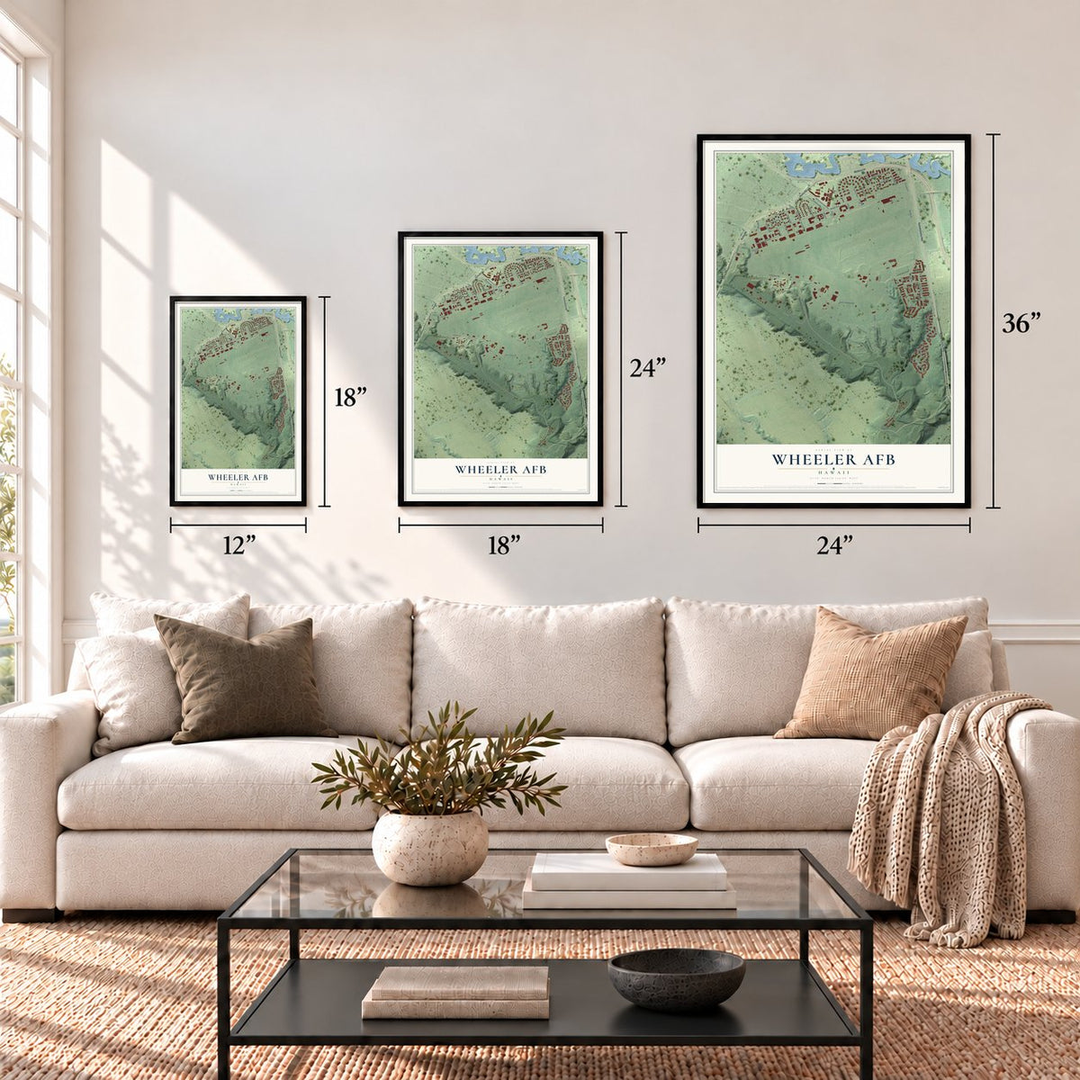
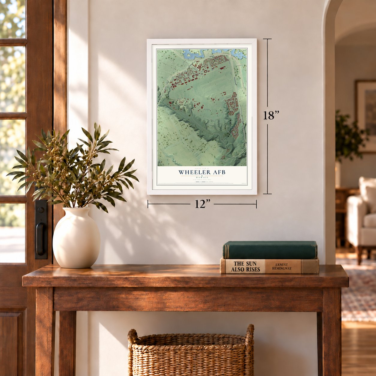
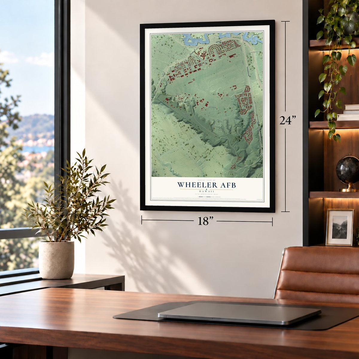
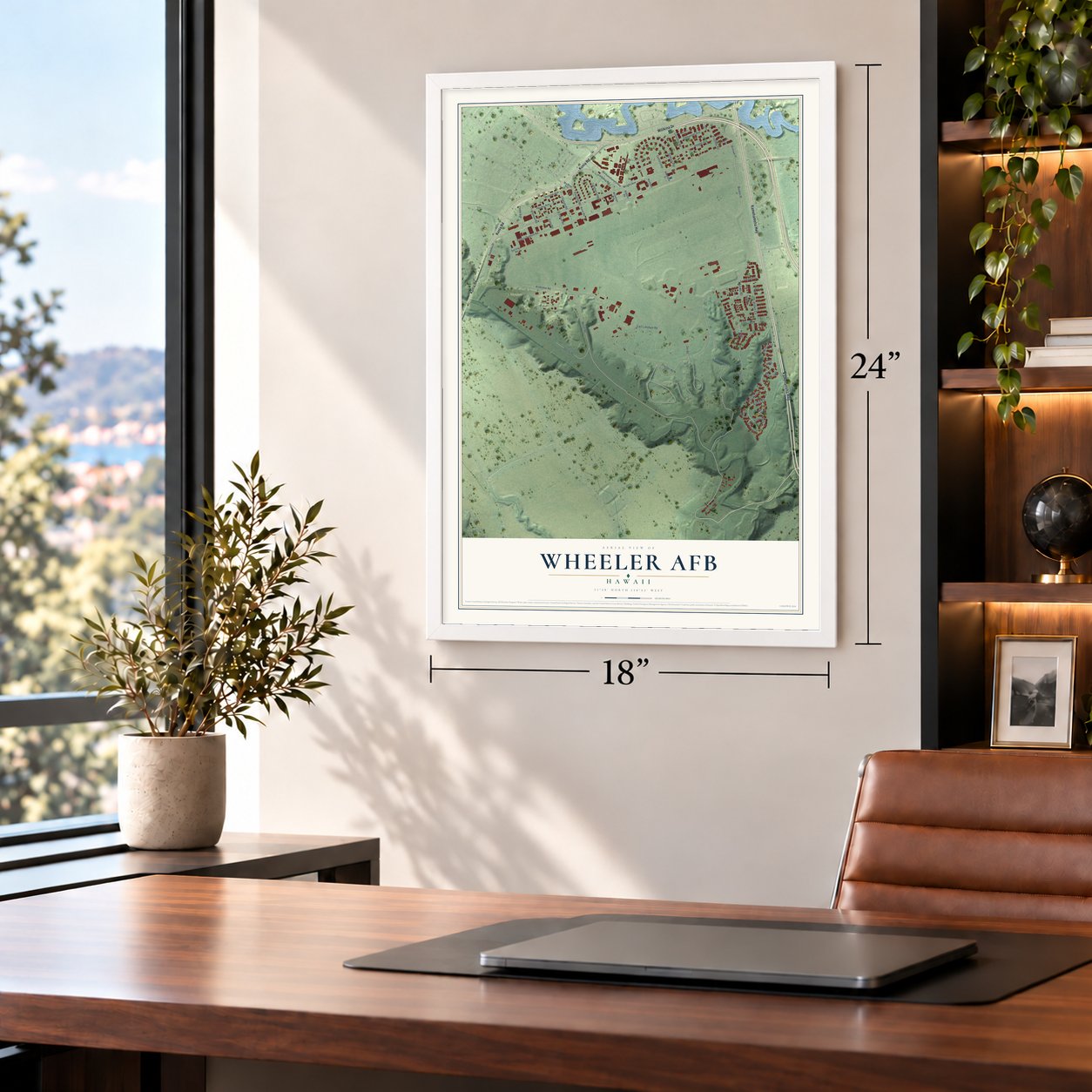
Wheeler AFB, Hawaii Map Art
Building by building, with labeled streets and shaded relief.
12" x 18" Archival Matte Print
A Map of Home. A Work of Art.
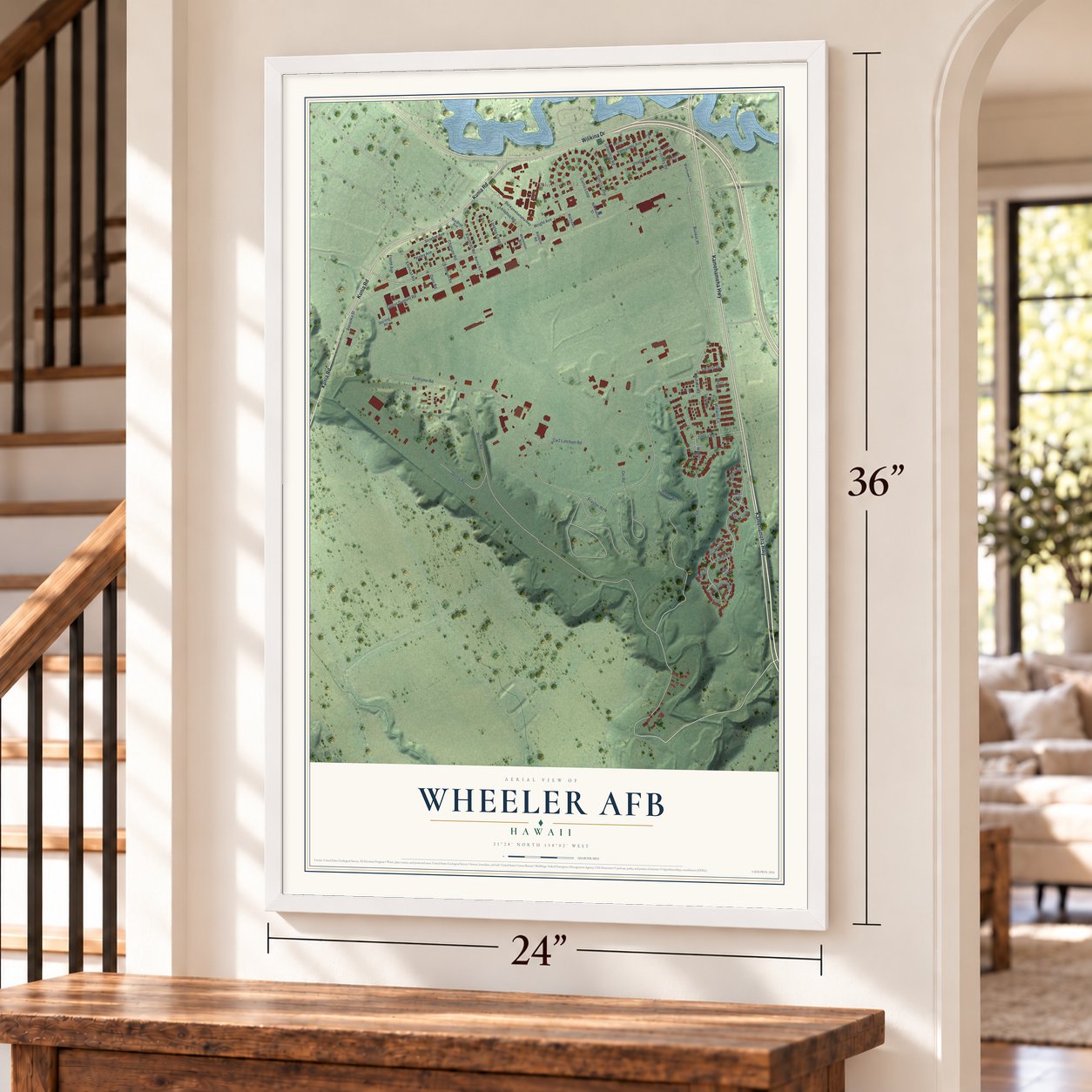
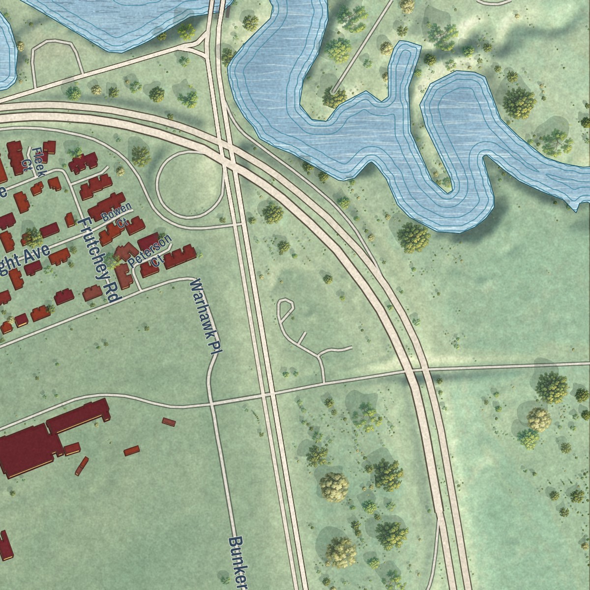
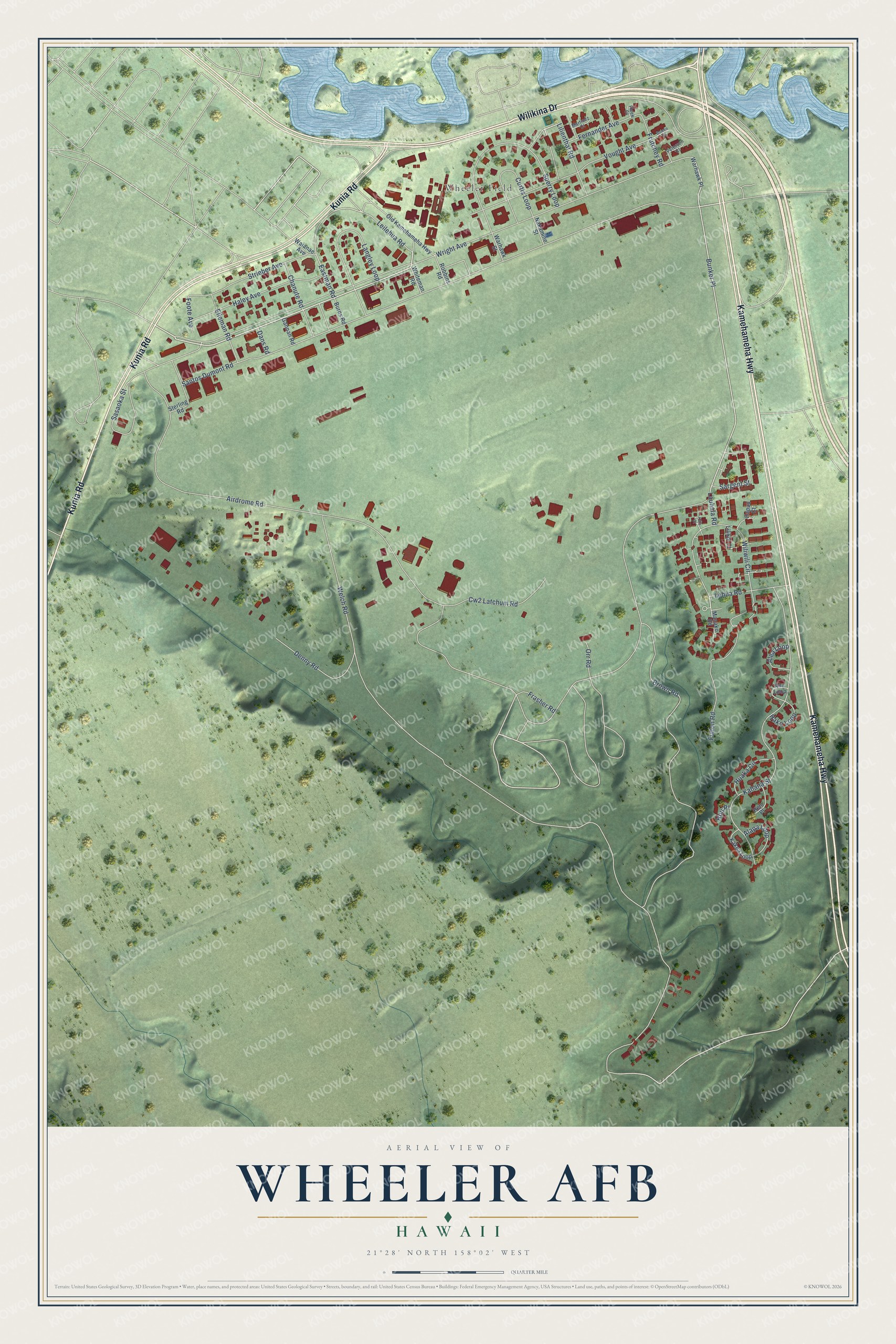
Explore Wheeler AFB, Hawaii from a whole new perspective. Created using aerial imagery and detailed geographic data, this map captures Wheeler AFB building by building, with labeled streets, familiar landmarks, and shaded topographical relief that highlights the natural contours of the landscape.
Combining modern data with the timeless character of a vintage atlas, this map is just as interesting up close as it is beautiful on the wall. Whether you grew up in Wheeler AFB, spent memorable years there, or call it home today, this unique map is a great way to celebrate a place that means something to you. Zoom in on the preview to look for your street, and then order a print to put your memories on the wall.
Three ways to hang it
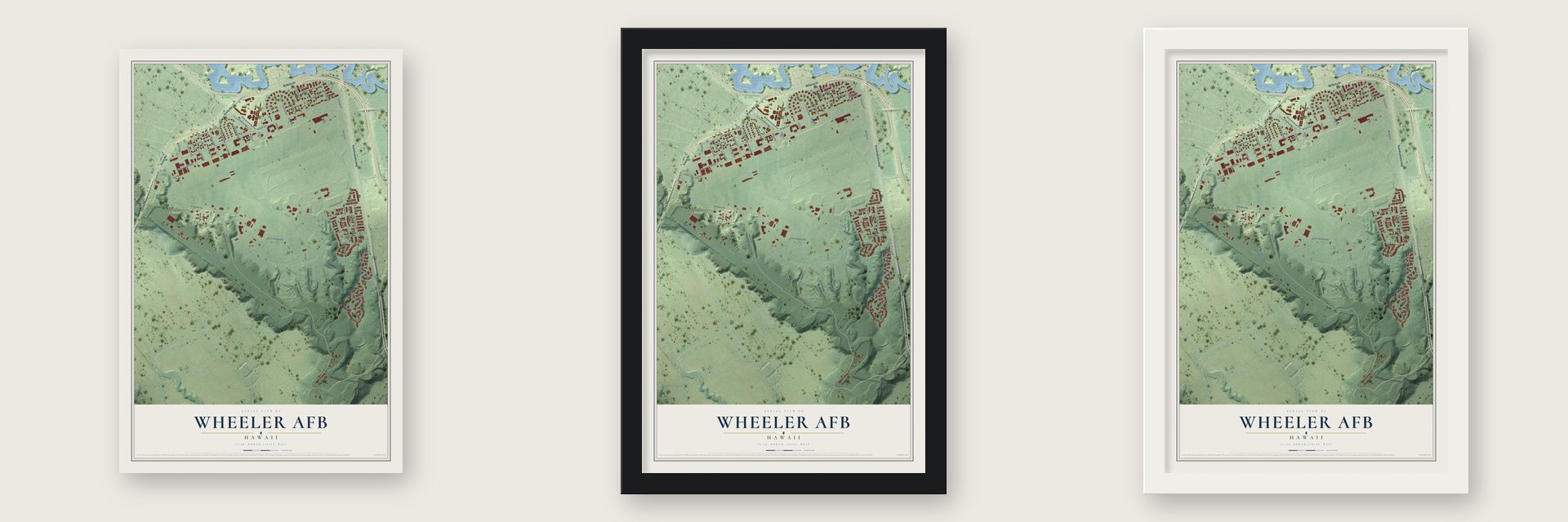
Unframed archival matte, a black wood frame or a white wood frame.
Up close
Geography Worth Displaying
This map was created using accurate cartographic data and authoritative geographic sources, including the U.S. Geological Survey and the Census Bureau. The map brings together terrain, waterways, roads, and building detail. The majority of the streets are labeled, houses are accurately depicted, and the topography is derived from government sources. Combining local data with carefully composed color and shading leads to this beautifully detailed Wheeler AFB artwork for your wall.
Rather than simply showing street outlines, we’ve included as many of the street names as we could reasonably fit on the map while keeping their names legible. Zoom in on the high resolution preview to see exactly what’s on the map. We truly set out to create a statement piece for anyone who loves Wheeler AFB. So whether it’s for you, or a gift for someone you love, we hope this map of Wheeler AFB brings back fond memories.
Read the story behind this map of Wheeler AFB, Hawaii from 2026.

Find your street
Names on the Wheeler AFB map
Every name below is printed on this map. Look for your street, your school, the park where you played, or the pond down the road.
Places and landmarks1
- Wheeler Field
Streets and roads61
- Kamehameha Highway
- Kunia Road
- Wilikina Drive
- Wright Avenue
- Leilehua Road
- Bunker Place
- Eastman Road
- Airdrome Road
- Welch Road
- Santos Dumont Road
- Brown Road
- Kahana Street
- Wiliwili Circle
- Sperry Loop
- Vought Avenue
- Langley Loop
- Haley Avenue
- Fulton Road
- Strieber Avenue
- Sasaoka Street
- Curtis Loop
- Cw2 Latchum Road
- Denny Road
- Fernander Avenue
- Lehua Road
- Chanute Road
- Lilienthal Road
- Elleman Road
- Huaka Circle
- Alapa Loop
Show all 61 streets
- Alea Loop
- Frutchey Road
- Hako Loop
- Frasher Road
- Sargent Street
- Foote Avenue
- Orr Road
- Lauhala Road
- Dans Road
- Hou Place
- Warhawk Place
- Old Kamehameha Highway
- Sterling Road
- Hapuu Court
- Kakea Loop
- Lilikoi Court
- Anu Loop
- Helu Place
- Robbins Road
- Warhawk Street
- Nakamine Street
- Gannan Road
- Whiteman Road
- Burns Road
- Waianae Avenue
- Manako Road
- Peterson Court
- Martinez Court
- Fleek Court
- Kula Court
- Bowen Court
Names are listed as they appear on the printed map. Zoom into the product photos to find them.
About Wheeler AFB, Hawaii
Wheeler AFB is a community of 2,412 people in Honolulu County, on the central plateau of O'ahu beside Schofield Barracks. On February 6, 1922, Lieutenant William T. Agee led 20 enlisted men over from Luke Field to the old drill grounds of the 17th Cavalry Regiment. They cleared out weeds, guava and algaroba trees and raised two canvas hangars. On November 11, 1922, the new airfield was named for Major Sheldon H. Wheeler, the Luke Field commander who had died in a plane crash on July 13, 1921.
Permanent buildings did not start going up until 1930. By 1940 Wheeler was a main base for Army fighter planes such as the P-40 Warhawk, which guarded the Hawaiian Islands. When the Air Force became its own service in 1947, the post was renamed Wheeler Air Force Base. It was cut back to a caretaker crew a year later, then brought back to full strength in 1952 during the Korean War. The Army took control again on November 1, 1991, and the sign over the main entrance was switched to read Wheeler Army Airfield.
- Landing point for Pacific pioneersFrom the 1920s into the early 1930s, the Army Air Corps treated Wheeler as its main airfield in Hawaii. In 1927 two Army fliers, L. J. Maitland and A.F. Hengenberger, flew from Oakland, California, to this field without stopping, the first to do so, and the great Dole Air Race from California finished here too. The next year the first plane from Australia landed safely, and Kingsford Smith's Southern Cross used Wheeler on his flights across the Pacific.
- Amelia Earhart's 1935 flightAmelia Earhart came to Wheeler in 1935 with her Lockheed Vega and took off from here to fly alone from Hawaii to the mainland, the first person to make that trip solo. She came back in 1937 with her Lockheed Model 10 Electra.
- December 7, 1941Japanese planes hit Wheeler first that morning to keep its many fighters on the ground. Most were wrecked, yet 12 pilots of the 15th Pursuit Group got P-36 and P-40 fighters aloft and scored some of America's first victories of the war. Lieutenant Phil Rasmussen found an old P-36 unharmed, had it armed, took off in a lull and downed a Zero. Wheeler lost 33 killed and 75 wounded.
- Built as a garden cityWheeler's housing followed the Garden City plan of Sir Ebenezer Howard of England, who meant it as an answer to grim industrial company towns. Its streets curve in loops around green spaces shared by the neighbors, lined with Spanish Colonial Revival homes. The 1941 flightline, hangars and barracks still stand, and in August 1987 the Secretary of the Interior named Wheeler a National Historic Landmark for its part in World War II in the Pacific.
Keep exploring Hawaii
Wheeler AFB is one of 169 Hawaii towns we've mapped. Every dot on the map is a print of its own.
The search covers every state, Hawaii first.
Near Wheeler AFB
Order 2 or more town maps and save 10%. Shown in the size and finish you picked above, so they hang as a set.
- Waipio Acres 12" x 18" / Archival Matte Print $39.99
- Wahiawa 12" x 18" / Archival Matte Print $39.99
- Schofield Barracks 12" x 18" / Archival Matte Print $39.99

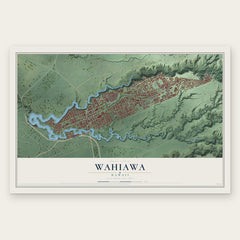
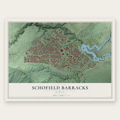
More maps nearby: Mililani Town, Whitmore Village, Mililani Mauka, Helemano and Royal Kunia.
The art of mapping a place
How This Map Was Made
Real places. Remarkable detail. Discover the layers that turn geographic data into a map of home.

The view from above
Aerial imagery reveals the character of the land: woodland, open fields, and the patterns of a place.

The shape of the land
Elevation data brings hills, valleys, and subtle changes in the landscape into view.

The details of home
Roads, waterways, and building footprints come together to make the map feel unmistakably local.

Geography becomes art
Considered color, shading, and typography bring the layers together in a map made for your wall.


Process illustrated with Mendon, Massachusetts. Aerial imagery: USDA NAIP. Terrain: USGS 3D Elevation Program. Map details and finished artwork: KNOWOL.
The Details
About This Print
Choose an archival matte print, or a black or white Ayous wood frame. The archival matte print is unframed.
Select your size and finish above to see the matching product image and price.
Materials & Craftsmanship
A contemporary map with the character of a classic atlas, printed on archival matte paper. Optional frames are made from Ayous wood.
Your printed map does not include the watermark shown in the full-map preview.
Shipping & Delivery
Free shipping within the United States. Every print is made to order in the USA.
Buying a gift? Add a note in your cart and we'll include it. We never put prices in the package.
Prints ship within 2 to 3 business days. Allow 7 to 10 days total from ordering for delivery. Timing may vary during holidays or periods of high order volume.
Read our shipping policy.
Returns and damaged prints
Each print is made to order. Change-of-mind refunds are not available after production.
If your print arrives damaged, misprinted or incorrect, contact support@knowol.com within 30 days of receiving it. Include your order number, photos and a description of the issue.
Read our full refund and replacement policy. For questions about your order, email support@knowol.com.