
Search for another town


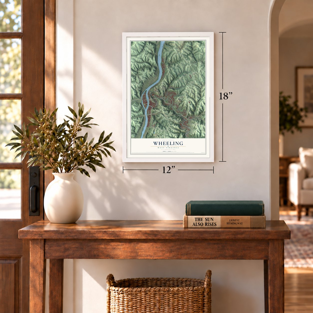
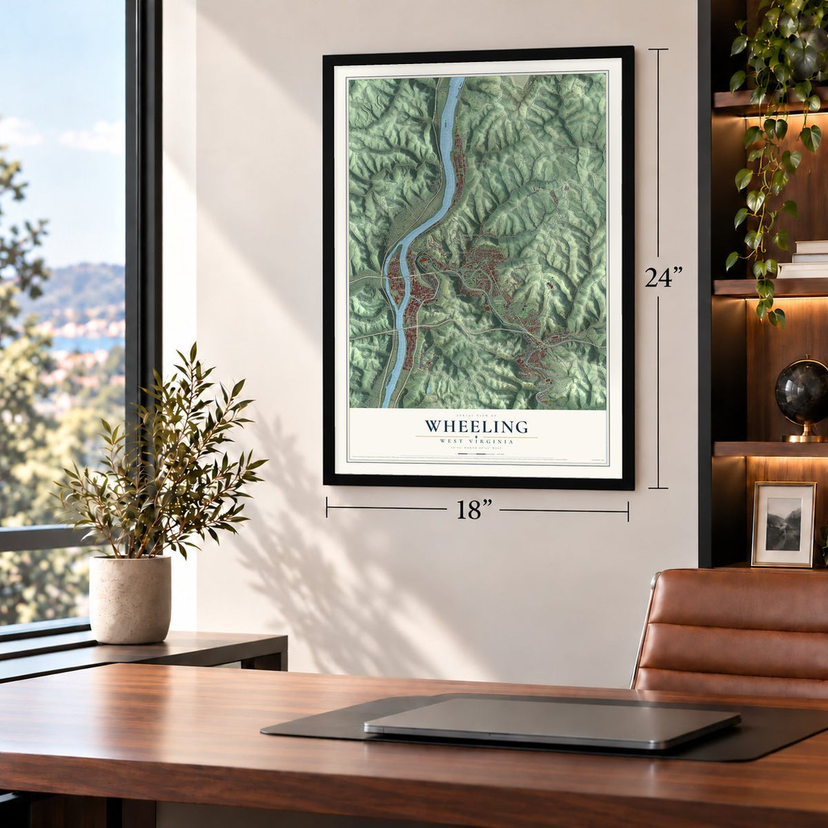
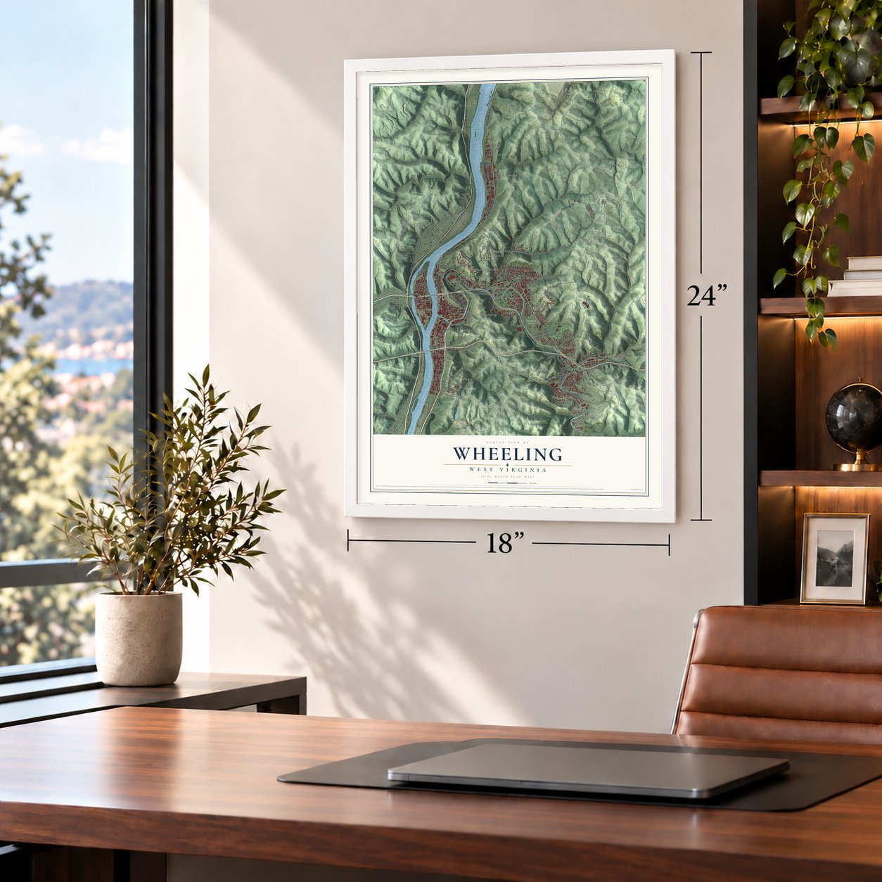

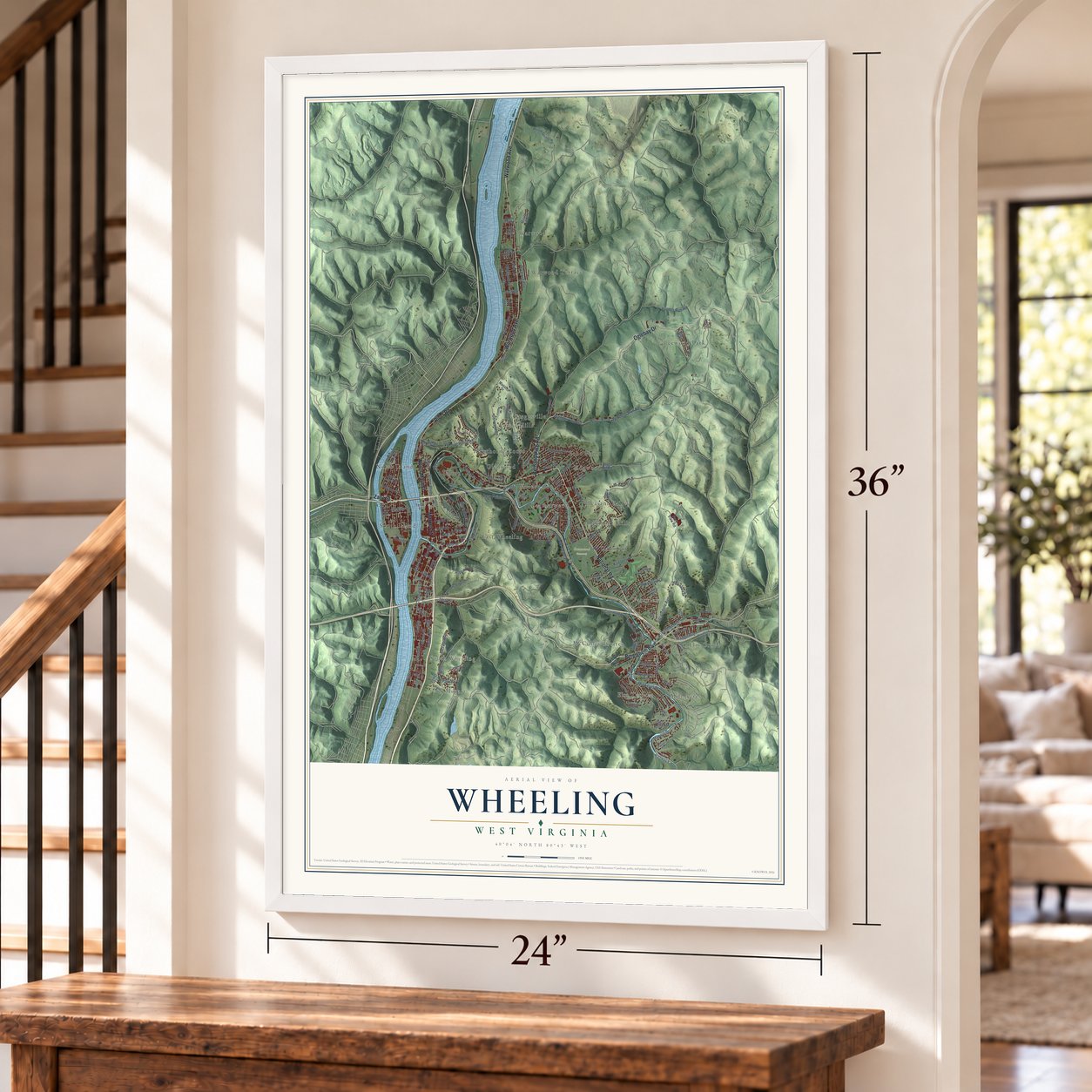
Free U.S. delivery 7 to 10 days after you order
Wheeling, West Virginia Map Art
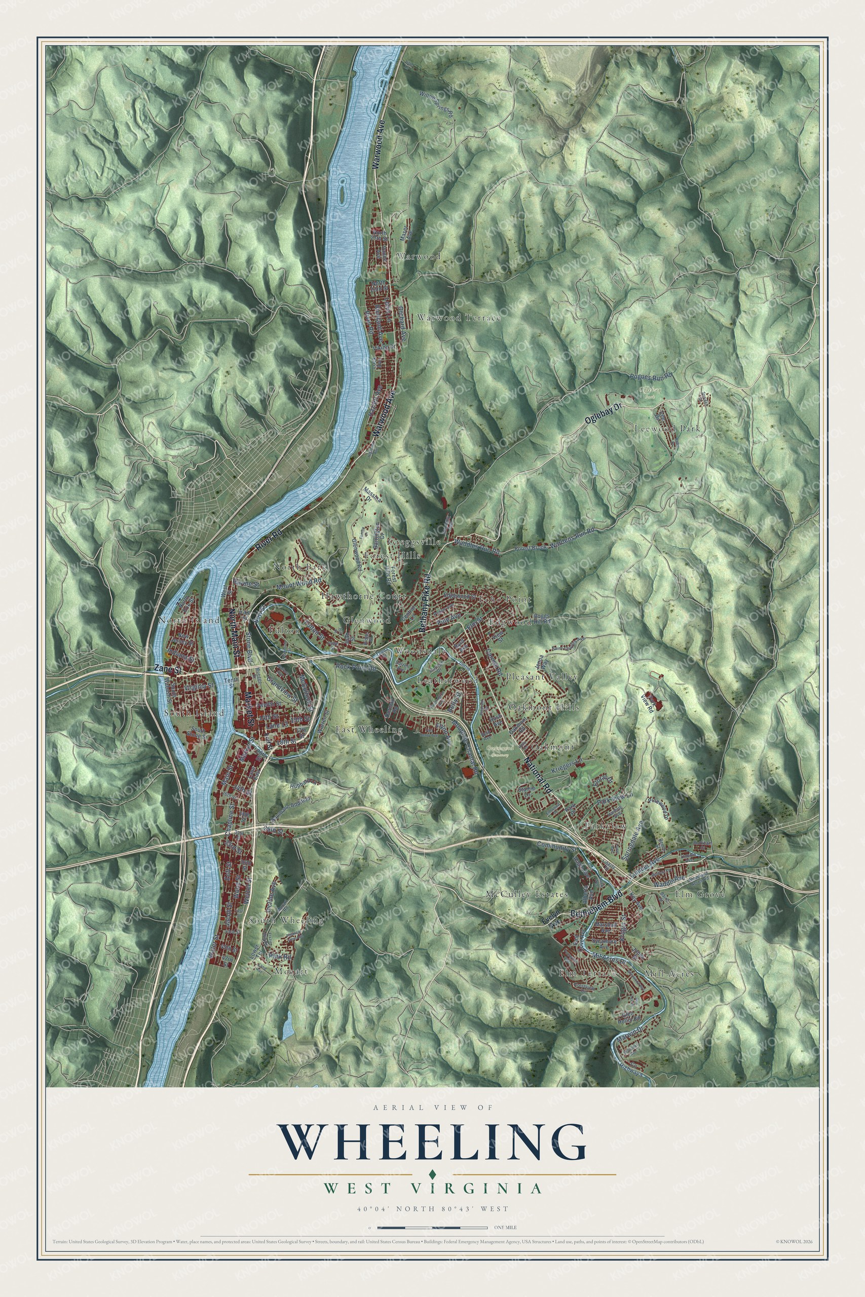
A new map of Wheeling, West Virginia, made in 2026 and printed to order on thick archival matte paper.
12" x 18" Archival Matte Print
A Map of Home. A Work of Art.
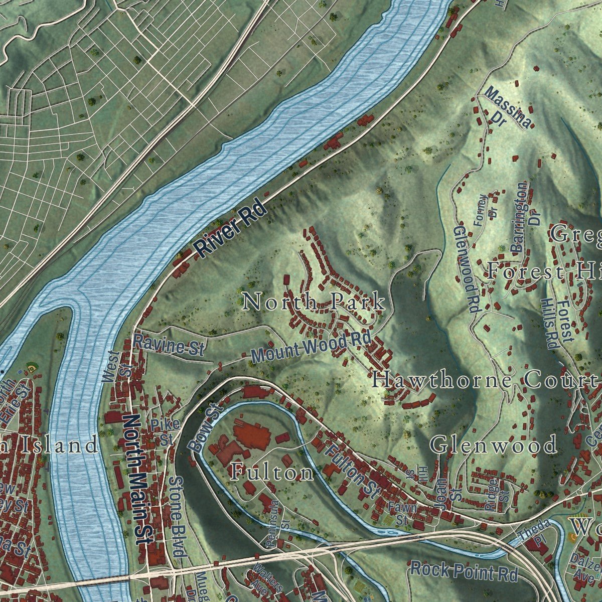
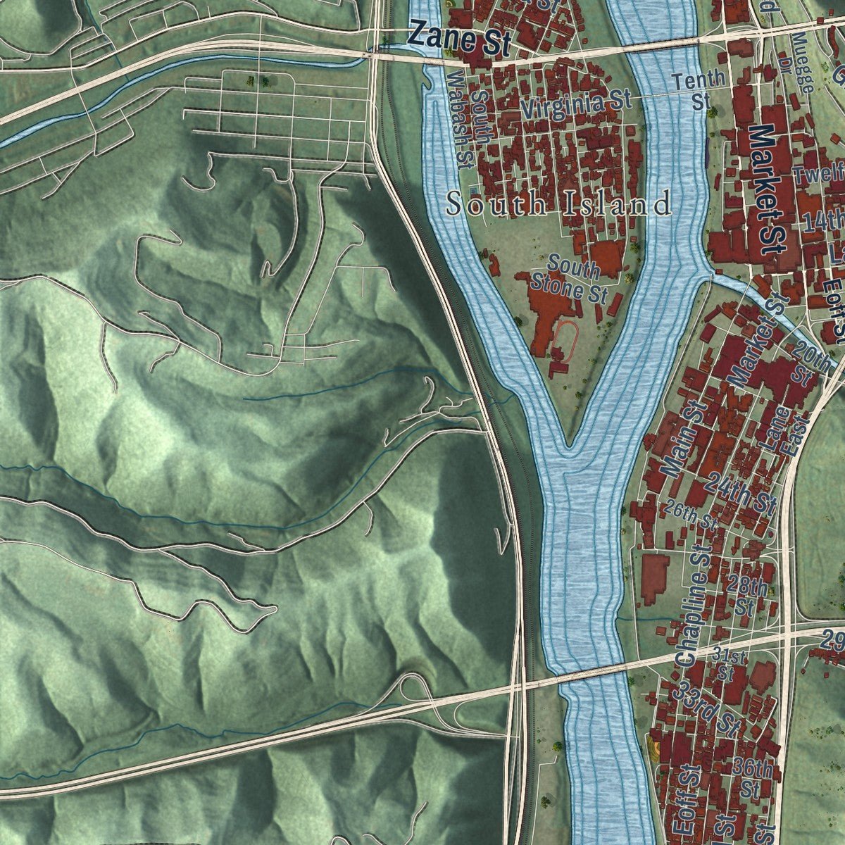
Explore Wheeling, West Virginia from a whole new perspective. Created using aerial imagery and detailed geographic data, this map captures Wheeling building by building, with labeled streets, familiar landmarks, and shaded topographical relief that highlights the natural contours of the landscape.
Combining modern data with the timeless character of a vintage atlas, this map is just as interesting up close as it is beautiful on the wall. Whether you grew up in Wheeling, spent memorable years there, or call it home today, this unique map is a great way to celebrate a place that means something to you. Zoom in on the preview to look for your street, and then order a print to put your memories on the wall.
Three ways to hang it
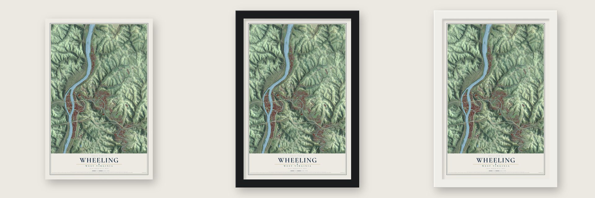
Unframed archival matte, a black wood frame or a white wood frame.
Up close
Geography Worth Displaying
This map was created using accurate cartographic data and authoritative geographic sources, including the U.S. Geological Survey and the Census Bureau. The map brings together terrain, waterways, roads, and building detail. The majority of the streets are labeled, houses are accurately depicted, and the topography is derived from government sources. Combining local data with carefully composed color and shading leads to this beautifully detailed Wheeling artwork for your wall.
Rather than simply showing street outlines, we’ve included as many of the street names as we could reasonably fit on the map while keeping their names legible. Zoom in on the high resolution preview to see exactly what’s on the map. We truly set out to create a statement piece for anyone who loves Wheeling. So whether it’s for you, or a gift for someone you love, we hope this map of Wheeling brings back fond memories.
Read the story behind this map of Wheeling, West Virginia from 2026.

About Wheeling, West Virginia
Wheeling is a city of 27,052 people and the county seat of Ohio County, where Wheeling Creek runs into the Ohio River. Ebenezer Zane explored here in the fall of 1769 and claimed the land by "tomahawk rights," cutting marks into the bark of a few trees. He returned the next spring, bringing Elizabeth, his wife, along with Jonathan and Silas, two of his brothers, and they started the first lasting settlement here, which they called Zanesburg. Zane laid out lots in 1793, and Wheeling became a town by law in 1795. Virginia made it the county seat on December 27, 1797, and it became a city on March 11, 1836.
The National Road reached Wheeling in 1818, connecting the Ohio with the Potomac, so trade from the valley passed through on its way east. The Wheeling Suspension Bridge spanned the Ohio in 1849, and the Baltimore and Ohio Railroad arrived in 1853. When the Civil War began, the Wheeling Convention of 1861 met here and led western Virginia to break away. Wheeling then served twice as West Virginia's capital, first from 1861 until 1870 and later from 1875 until 1885.
“Wheeling became known as the Nail City because of its enormous output of cut nails at such factories as the La Belle Ironworks”
- Betty Zane's run in 1782The fort here was built in 1774 as Fort Fincastle and later renamed Fort Henry for Patrick Henry. During a siege in 1782 by Native and British forces, its defenders ran out of ammunition. Betty Zane offered to fetch more from the Zane homestead. She filled a tablecloth with gunpowder and ran back while soldiers shot at her. She was not hurt, and the fort stayed in American hands.
- No thanks, Mr. CarnegieIn 1904 Wheeling became the first American city to say no to Andrew Carnegie's offer of a free library. It turned the gift down because of his record with workers, above all the Homestead Strike of 1892. Labor had deep roots here: the United Nailers organized in 1860, and Samuel Gompers, Mother Jones and Eugene Debs all spoke when a national labor convention met in the city in 1897.
- German singers since 1855Many Germans settled in Wheeling, including immigrants who came after the 1848 Revolutions, and they stood firmly against slavery. They raised the First West Virginia Artillery to fight the Confederacy and helped lead the push to split from Virginia. Their German Singing Societies, the first of them founded in 1855, left a lasting mark on the city.
- Lincoln School, 1866 to 1954Lincoln School opened in 1866 for Wheeling's African American students, and Laura Grayson-Morison taught at its high school. A new Lincoln High School building opened in the early 1940s, and the school closed in 1954, when the schools were desegregated.
- 61,659 people in 1930Iron mills, steel plants and tobacco makers made Wheeling the new state's leading industrial center, and the city peaked at 61,659 people in the 1930 census. Well-off families built fine houses, especially on Wheeling Island. After the Great Depression and the changes in heavy industry that followed World War II, the city lost many working-class jobs and residents.
Find your street
Names on the Wheeling map
Every name below is printed on this map. Look for your street, your school, the park where you played, or the pond down the road.
Places and landmarks28
- Greenwood Cemetery
- Oglebay Park
- East Wheeling
- Echo Point
- Edgwood
- Elm Grove
- Elm Terrace
- Forest Hills
- Fulton
- Glenwood
- Greggsville
- Hawthorne Court
Show all 28 places
- Leatherwood
- Leewood Park
- McCulley Estates
- Mill Acres
- Mozart
- North Island
- North Park
- Oakmont
- Oakmont Hills
- Parkview
- Pleasant Valley
- South Island
- South Wheeling
- Warwood
- Warwood Terrace
- Woodsdale
Streets and roads161
- Bethany Pike Road
- Oglebay Drive
- Market Street
- Bethlehem Boulevard
- River Road
- North Main Street
- National Road
- Warwood Avenue
- Zane Street
- Wardens Run Road
- Waddles Run Road
- Kruger Street
- Elm Street
- Hazlett Avenue
- Chapline Street
- Bow Street
- Carmel Road
- McColloch Street
- Jacob Street
- Stone Boulevard
- Eoff Street
- Mount de Chantal Road
- Wood Street
- Rock Point Road
- Mount Wood Road
- Water Street
- Richland Avenue
- Mil Acres Drive
- Springdale Avenue
- Main Street
Show all 161 streets
- Park Road
- Marwin Drive
- Grandview Street
- Incline Avenue
- Pogues Run Road
- Kriegers Lane
- Orchard Avenue
- Park View Lane
- 14th Street
- Wetzel Street
- Community Street
- Lumber Avenue
- 29th Street
- 18th Street
- Virginia Street
- Fulton Street
- Pine Avenue
- Flynn Avenue
- 15th Street
- Ravine Street
- Lane 13
- 33rd Street
- Floral Drive
- Waddle Avenue
- Lotus Lane
- 24th Street
- Indiana Street
- Betty Street
- Evelyn Avenue
- Boggs Hill Road
- Rush Avenue
- 28th Street
- Lock Avenue
- Baumann Addition
- Glenwood Road
- County Highway 5
- Edgewood Street
- Oakmont Road
- Willow Springs Road
- Twelfth Street
- Marshall Avenue
- South Wabash Street
- East Cove Avenue
- Forest Hills Road
- 17th Street
- Lane East
- Sycamore Avenue
- Lee Drive
- Barrington Drive
- North 27th Street
- Forest Brook
- Angle Avenue
- Hubbard Lane
- Pinewood Drive
- 36th Street
- Central Lane
- Glen Hollin Road
- Vance Avenue
- West Street
- 20th Street
- Alberta Avenue
- North 23rd Street
- Stamm Lane
- Park View Road
- 45th Street
- Maser Avenue
- Warren Street
- Massina Drive
- View Street
- Viking Drive
- South Stone Street
- New Jersey Street
- Lower Terrace
- North Erie Street
- Jenna Way
- Key Avenue
- Dorman Road
- Jones Street
- Tenth Street
- Byrd Avenue
- Pike Street
- Park Place
- Joan Street
- 47th Street
- Crestview Drive
- 31st Street
- Poplar Avenue
- College Drive
- Mozart Road
- Woodland Acres Road
- Saint Charles Avenue
- Burkham Court
- 26th Street
- Muegge Drive
- Theda Place
- Baird Street
- Harding Avenue
- Economy Avenue
- 43rd Street
- Dalzell Avenue
- Currie Drive
- Lava Avenue
- Lincoln Avenue
- Liberty Street
- Reid Avenue
- Fawn Street
- Beech Street
- Ridge Street
- Peninsula Street
- Highland Avenue
- Washington Avenue
- Frazier Run Road
- Kelly Drive
- Sherwood Avenue
- Elmwood Place
- Monroe Avenue
- Fernwood Avenue
- Pleasant Drive
- Schrader Avenue
- Forney Drive
- 41st Street
- Fort Henry Avenue
- Walters Avenue
- Don Lee Drive
- Pleasant View Avenue
- Holly Road
- Land Avenue
- Speidel Drive
- Hurst Avenue
- Lilac Lane
- Hill Street
Names are listed as they appear on the printed map. Zoom into the product photos to find them.
The art of mapping a place
How This Map Was Made
Real places. Remarkable detail. Discover the layers that turn geographic data into a map of home.

The view from above
Aerial imagery reveals the character of the land: woodland, open fields, and the patterns of a place.

The shape of the land
Elevation data brings hills, valleys, and subtle changes in the landscape into view.

The details of home
Roads, waterways, and building footprints come together to make the map feel unmistakably local.

Geography becomes art
Considered color, shading, and typography bring the layers together in a map made for your wall.


Process illustrated with Mendon, Massachusetts. Aerial imagery: USDA NAIP. Terrain: USGS 3D Elevation Program. Map details and finished artwork: KNOWOL.
The Details
About This Print
Choose an archival matte print, or a black or white Ayous wood frame. The archival matte print is unframed.
Select your size and finish above to see the matching product image and price.
Materials & Craftsmanship
A contemporary map with the character of a classic atlas, printed on archival matte paper. Optional frames are made from Ayous wood.
Your printed map does not include the watermark shown in the full-map preview.
Shipping & Delivery
Free shipping within the United States. Every print is made to order in the USA.
Buying a gift? Add a note in your cart and we'll include it. We never put prices in the package.
Prints ship within 2 to 3 business days. Allow 7 to 10 days total from ordering for delivery. Timing may vary during holidays or periods of high order volume.
Read our shipping policy.
Returns and damaged prints
Each print is made to order. Change-of-mind refunds are not available after production.
If your print arrives damaged, misprinted or incorrect, contact support@knowol.com within 30 days of receiving it. Include your order number, photos and a description of the issue.
Read our full refund and replacement policy. For questions about your order, email support@knowol.com.
Find your town
Looking for another city?
Find a map of home in our West Virginia collection, or any town in the country.
Nearby
Maps of towns near Wheeling
Know someone from one of these towns? Their map makes a great gift.
 Bethlehem
, West Virginia
From $39.99See the map
 Clearview
, West Virginia
From $39.99See the map
 Triadelphia
, West Virginia
From $39.99See the map
More maps nearby: Benwood, McMechen, Valley Grove, West Liberty and Windsor Heights.