
Search for another town




Free U.S. delivery 7 to 10 days after you order
White Lake, Michigan Map Art
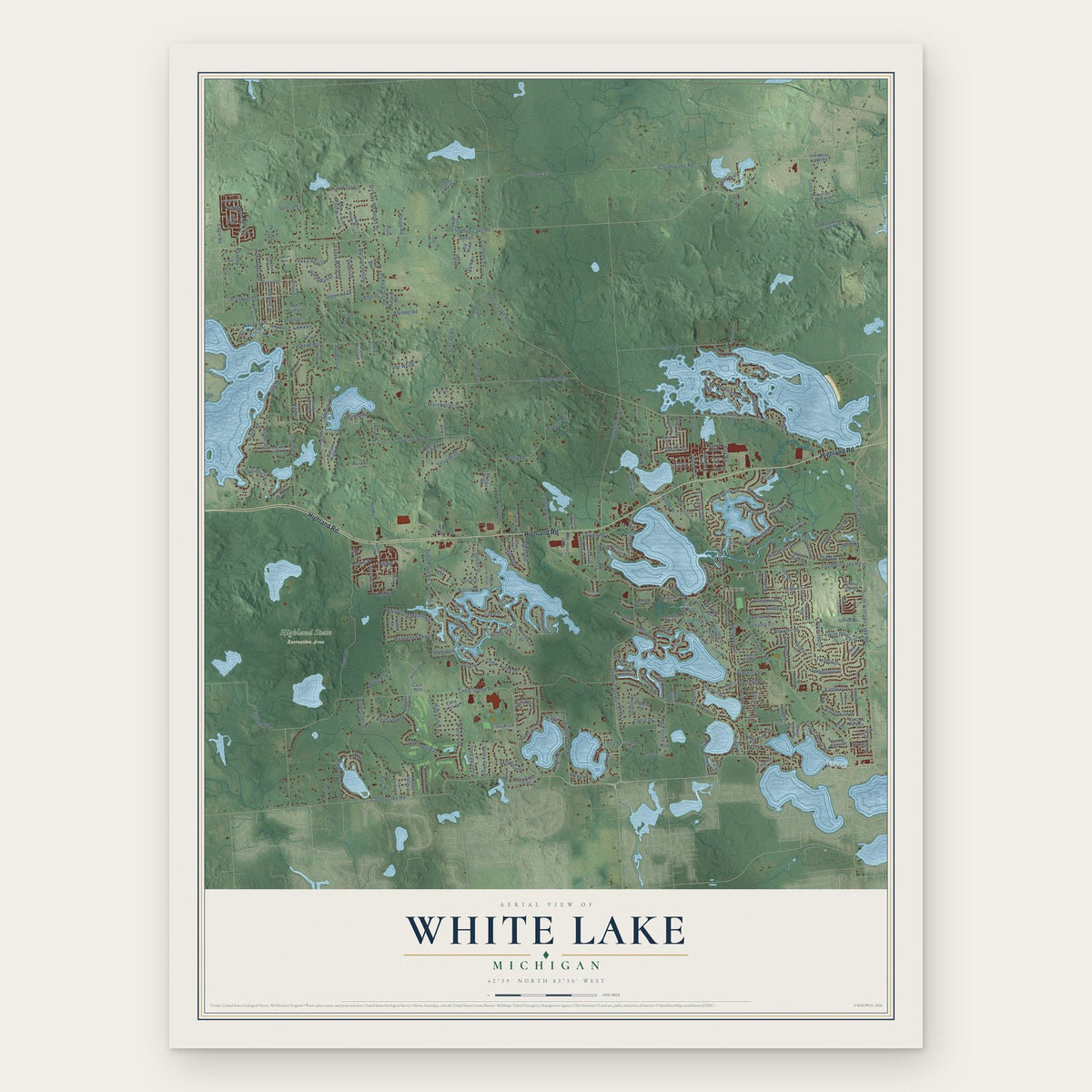
Building by building, with labeled streets and shaded relief.
12" x 18" Archival Matte Print
A Map of Home. A Work of Art.
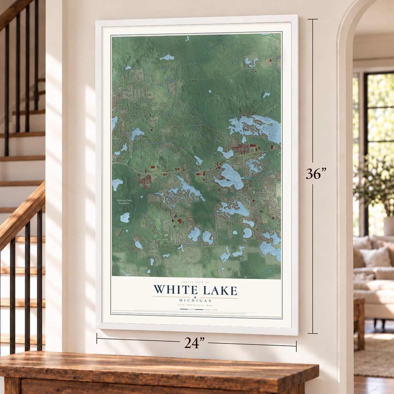
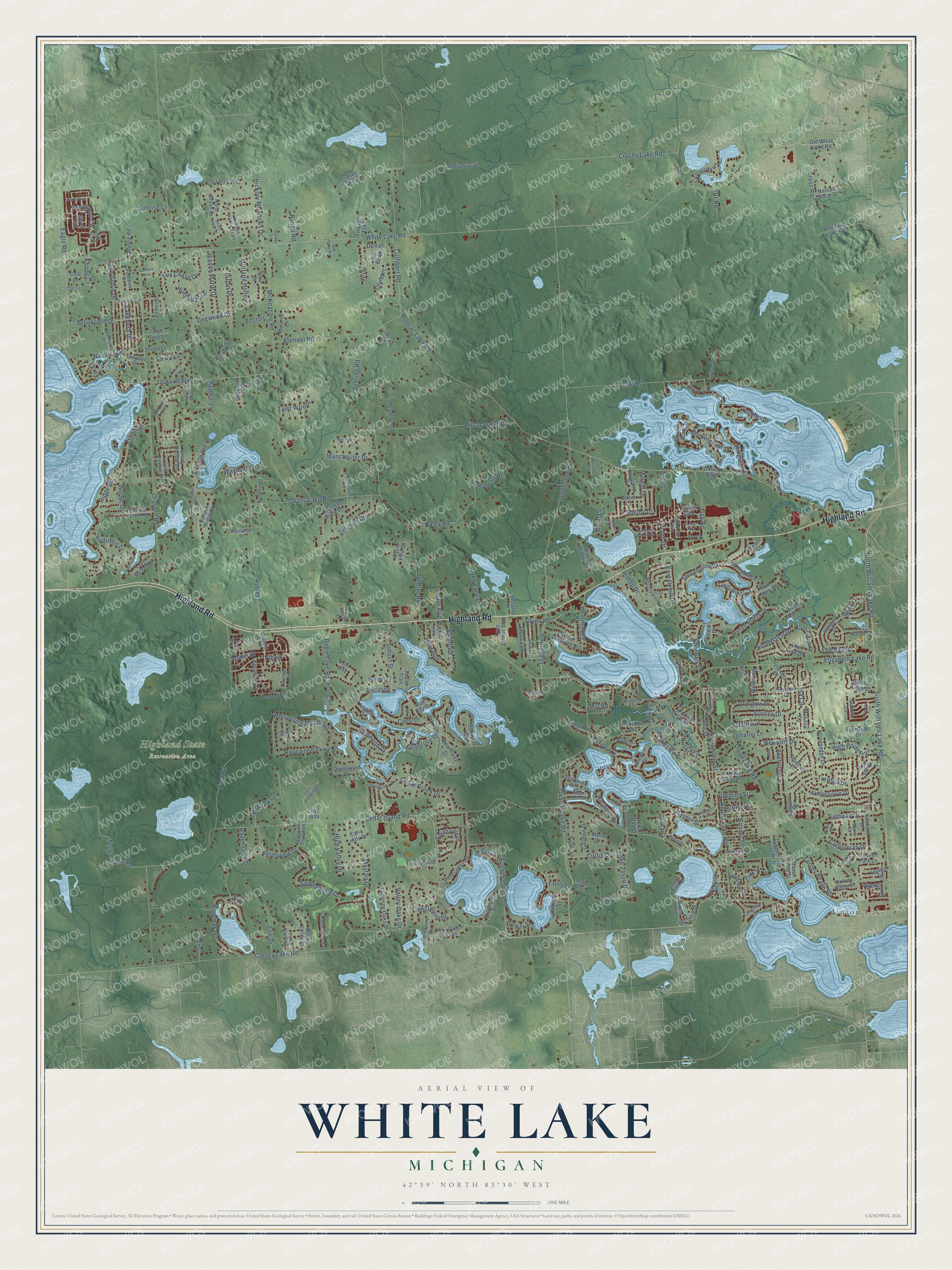
Explore White Lake, Michigan from a whole new perspective. Created using aerial imagery and detailed geographic data, this map captures White Lake building by building, with labeled streets, familiar landmarks, and shaded topographical relief that highlights the natural contours of the landscape.
Combining modern data with the timeless character of a vintage atlas, this map is just as interesting up close as it is beautiful on the wall. Whether you grew up in White Lake, spent memorable years there, or call it home today, this unique map is a great way to celebrate a place that means something to you. Zoom in on the preview to look for your street, and then order a print to put your memories on the wall.
Three ways to hang it
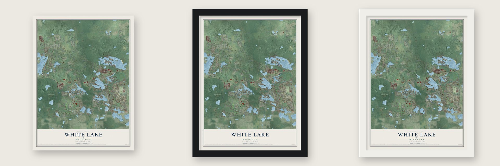
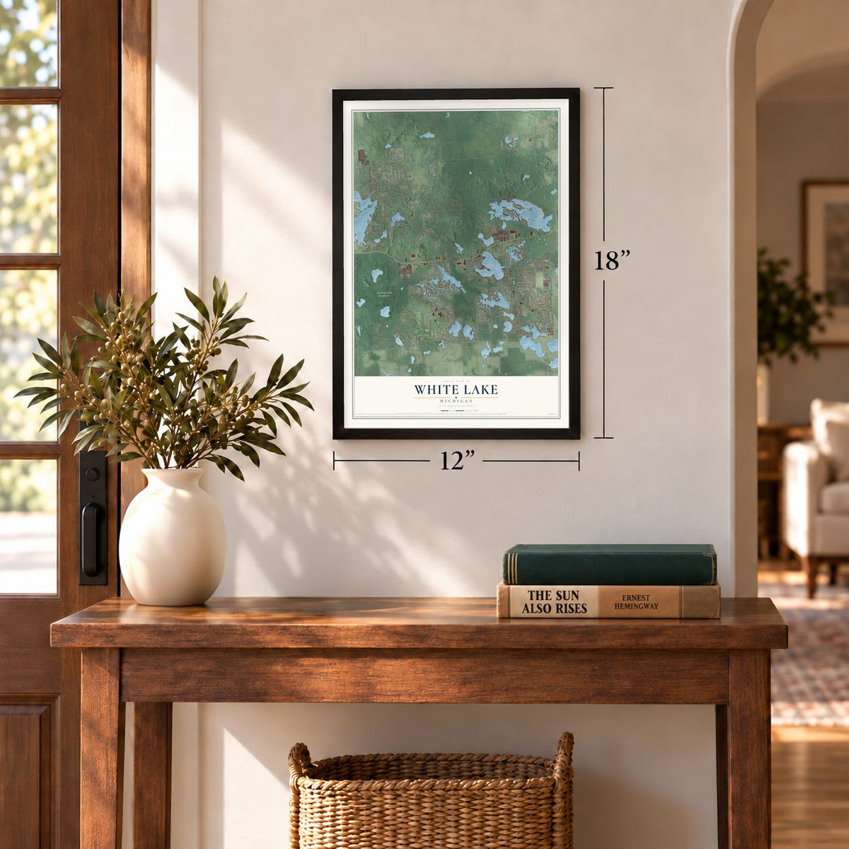
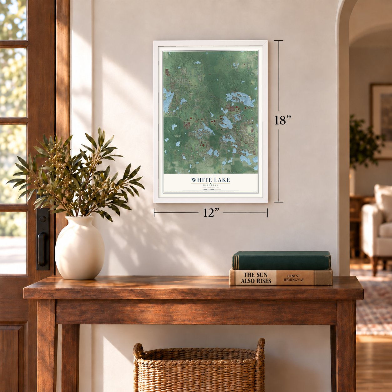
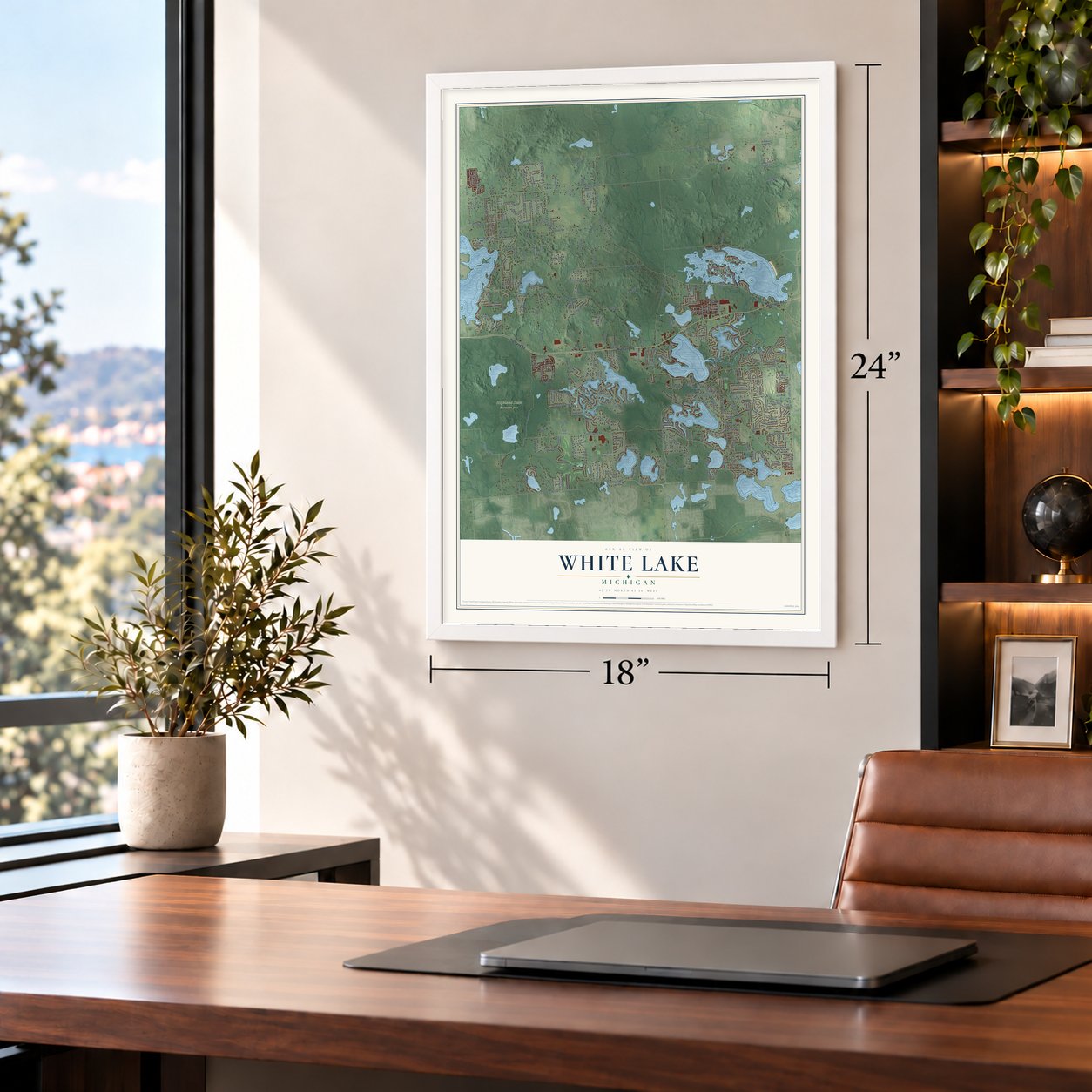
Unframed archival matte, a black wood frame or a white wood frame.
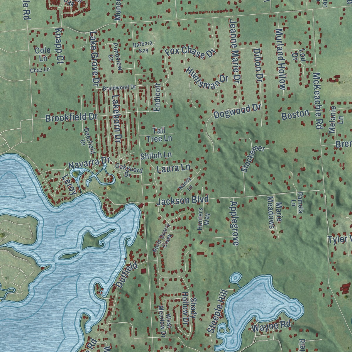
Up close
Geography Worth Displaying
This map was created using accurate cartographic data and authoritative geographic sources, including the U.S. Geological Survey and the Census Bureau. The map brings together terrain, waterways, roads, and building detail. The majority of the streets are labeled, houses are accurately depicted, and the topography is derived from government sources. Combining local data with carefully composed color and shading leads to this beautifully detailed White Lake artwork for your wall.
Rather than simply showing street outlines, we’ve included as many of the street names as we could reasonably fit on the map while keeping their names legible. Zoom in on the high resolution preview to see exactly what’s on the map. We truly set out to create a statement piece for anyone who loves White Lake. So whether it’s for you, or a gift for someone you love, we hope this map of White Lake brings back fond memories.
Read the story behind this map of White Lake, Michigan from 2026.

Find your street
Names on the White Lake map
Every name below is printed on this map. Look for your street, your school, the park where you played, or the pond down the road.
Places and landmarks3
- Union Lake
- Oxbow
- Highland State Recreation Area
Streets and roads314
- Highland Road
- Bogie Lake Road
- Oxbow Lake Road
- North Williams Lake Road
- Wildrose
- Cooley Lake Road
- South Williams Lake Road
- Rustic Circle
- Whispering Meadows
- Lakeside Drive
- Cooley Beach Drive
- Eastway Drive
- Mead Lane
- Brookfield Drive
- White Lake Road
- Cedar Island Road
- Pontiac Lake Road
- Teggerdine Road
- Elizabeth Lake Road
- Ford Road
- Ormond Road
- Gale Road
- Union Lake Road
- Grass Lake Road
- McKeachie Road
- Jackson Boulevard
- Porter Road
- Hitchcock Road
- Crosby Lake Road
- Biscayne
Show all 314 streets
- Ridge Road
- Sugden Lake Road
- Haley Road
- Cuthbert Road
- Eagle Road
- Mayfair Drive
- Brendel Road
- Steephollow Drive
- Lakeview Drive
- Hill Road
- Indian Trail
- Lake Grove Drive
- Ripple Way
- Trenton Drive
- Sebring Road
- Farnsworth Street
- Round Lake Road
- Teeple Lake Road
- Sandlewood Drive
- Cross Road
- Sunset Street
- Mistwood Drive
- Tackles Drive
- Cedar Creek Drive
- Huron Bluffs Drive
- Newport Drive
- Hilltop Drive
- Fox Chase Drive
- Fisk Road
- Glasgow Drive
- Ennest Street
- Lake Jason Drive
- Ellinwood Drive
- Dogwood Drive
- Navarra Drive
- Teluride Drive
- McGrew Lane
- Audubon Drive
- Hickory Meadows Drive
- High Point Trail
- Lisa Circle
- Jeanne Marie Drive
- Sandycrest Drive
- Carpathian Drive
- Akehurst Lane
- Lake Lane Drive
- Reidsview Drive
- Jamestown Drive
- Glynn Road
- Murland Hollow
- Fox Bay Drive
- Hillwood
- Teggerdine
- Rosewood Parkway
- Burgess Drive
- Buckingham Street
- Huntsman Drive
- Shelby Drive
- Sussex Drive
- High Valley Drive
- Pinecrest Drive
- Curtis Drive
- Ellingrove Drive
- Shotwell Street
- Decca Drive
- Steeple Hill
- Manchester Drive
- Satelite Drive
- Eric Drive
- Elkinford
- Lakeborn Drive
- Kingston Street
- Golden Drive
- Dillon Drive
- Laura Lane
- Bentwood Circle
- Nicole
- Capri Drive
- Olympic
- Hutchins Street
- Village Drive
- Rene Drive
- Tyler Woods
- Valley Oaks Drive
- East Oxhill Drive
- Margie Drive
- Mill Road
- Woodcroft
- Haven Glen Drive
- Applegrove
- Rachelle Drive
- Teton
- Jennie Drive
- Waverly Drive
- Roberts Drive
- Julia Street
- Raupp Road
- Sunrise Lane
- Orr Road
- Duffield
- Long
- Wayne Road
- Knapp Court
- Boston
- Lynn Drive
- Olreana
- Denali
- Leroy
- Casa Loma Street
- North Bryan Drive
- Park Street
- Dakota Lane
- Woodsedge Lane
- Mandon Street
- Havenwood Drive
- Rosario Lane
- Coastal Parkway
- Vanden Drive
- Hidden Pines Trail
- Meadow Lane
- Beachway Drive
- Crested Butte Drive
- Portage Trail
- Melinda Circle
- Maple Heights Drive
- Stockemer
- Canyon Ridge Drive
- Bonnie Briar
- Schuyler Drive
- Suzanne Boulevard
- Hurondale Drive
- Taylor Trail
- Lakehaven Drive
- Windhurst Street
- Shady Hollow Drive
- Towering Oaks Drive
- Sunnybeach Drive
- Stonewood Drive
- Sharon Drive
- Young Road
- Mystic Valley Drive
- Granada Drive
- Tower Street
- Oxbow Lakeshore Drive
- David Lane
- Twin Lakes Drive
- Sandy Ridge Drive
- Melanie Lane
- Hillway Street
- Northfield
- Fuller Lane
- East Alyssa Court
- Kenwick Drive
- Serra Drive
- Town Center Boulevard
- Suchava Drive
- Half Acre Drive
- Avonlea Street
- Sycamore Drive
- Alpine View Drive
- Grove Point Drive
- Turnberry Drive
- Schroeder Drive
- Lou Drive
- Lake Stison Drive
- Silver Leaf
- Allen Lake Drive
- Howland Drive
- Orchard Drive
- Big Bend
- Crosby Lake Court
- Marie Meadows
- Carla Hills Drive
- Ivy Glen Park Lane
- Lemaster Lane
- Dolane Boulevard
- Red Bank
- Macaday Lake Road
- Danforth Street
- East Huron Court
- Munce Road
- Laurent Lane
- Concord Drive
- La Belle Drive
- Spy Glass Trail
- Summit Ridge Drive
- Colony Ridge Drive
- Nathan Oscar Drive
- Applewood
- Artdale Drive
- River Run Drive
- Degrand Street
- Old White Lake Road
- Endicott
- Kent Way
- Tall Tree Lane
- Palmoor Avenue
- Bayview Street
- Merit Drive
- Beryl Street
- Sloane Court
- Shiloh Lane
- Coledale Drive
- Sunset Court
- Cedar Bay Court
- Todd Court
- Jozwik Drive
- Hidden Cove Drive
- Estola Street
- Jaclyn Boulevard
- Sesame Street
- Island Drive
- Trillium Trail
- Auten Lane
- Oak Bay Drive
- Cole Lane
- Oxford Boulevard
- Nordic Drive
- View Drive
- Scout Trail
- Caya Way
- Atha Drive
- West Oxhill Drive
- Thompson Lane
- England Beach Road
- Arlington Street
- Deerfield Drive
- Le Grand Boulevard
- Cumberland Drive
- Clearwater Boulevard
- Golden Shores Drive
- Burgess Court
- Pondview Drive
- Broken Oak
- Arlene
- Pine Needle Drive
- West Meadow Drive
- Midway Road
- Reidsview Drive East
- Cedar Point Drive
- Monet Avenue
- Ridgefield Court
- Oakguard Drive
- Camelot Street
- Longcroft Street
- Hunters Way
- Plantation Drive
- Riverwood Court
- Ona Lake Drive
- Crayview Street
- Pennfield Street
- Russell Lane
- Old Flint Road
- Garner Lane
- Pamela Lane
- Lisa Kay
- Alison Lane
- Dacea Court
- Pembroke
- Braidwood Drive
- Charlton Boulevard
- Muirfield Circle
- North Quarry Creek
- Cedar Meadows Drive
- Heathwood
- Cranberry Beach Boulevard
- Beechcrest Drive
- Nancy Lane
- Timber Trail
- Lake Jason Lane
- Berry Patch Lane
- South Bryan Drive
- Bonita Drive
- Montgold
- Barbara Kay
- Nottingham Court
- McCatty Street
- Kent Lane
- Emwood Court
- Croutty Street
- Chaz Lane
- Kristina Lane
- Aglaia Drive
- Lia Court
Names are listed as they appear on the printed map. Zoom into the product photos to find them.
About White Lake, Michigan
From the History of Oakland County: "The first house built in White Lake township was the one erected by Mr Olmsted, in June, 1832. It was twenty by twenty-eight feet in dimensions, built of logs, and is still standing on the old place, the east half of the southeast quarter of section 36, now owned by Thomas Simpson."
Keep exploring Michigan
White Lake is one of 2,031 Michigan towns we've mapped. Every dot on the map is a print of its own.
The search covers every state, Michigan first.
Near White Lake
Order 2 or more town maps and save 10%. Shown in the size and finish you picked above, so they hang as a set.
- Oxbow 12" x 18" / Archival Matte Print $39.99
- Andersonville 12" x 18" / Archival Matte Print $39.99
- Commerce 12" x 18" / Archival Matte Print $39.99


More maps nearby: Highland, Oakley Park, Waterford, Glengary and Springfield Township.
The art of mapping a place
How This Map Was Made
Real places. Remarkable detail. Discover the layers that turn geographic data into a map of home.

The view from above
Aerial imagery reveals the character of the land: woodland, open fields, and the patterns of a place.

The shape of the land
Elevation data brings hills, valleys, and subtle changes in the landscape into view.

The details of home
Roads, waterways, and building footprints come together to make the map feel unmistakably local.

Geography becomes art
Considered color, shading, and typography bring the layers together in a map made for your wall.


Process illustrated with Mendon, Massachusetts. Aerial imagery: USDA NAIP. Terrain: USGS 3D Elevation Program. Map details and finished artwork: KNOWOL.
The Details
About This Print
Choose an archival matte print, or a black or white Ayous wood frame. The archival matte print is unframed.
Select your size and finish above to see the matching product image and price.
Materials & Craftsmanship
A contemporary map with the character of a classic atlas, printed on archival matte paper. Optional frames are made from Ayous wood.
Your printed map does not include the watermark shown in the full-map preview.
Shipping & Delivery
Free shipping within the United States. Every print is made to order in the USA.
Buying a gift? Add a note in your cart and we'll include it. We never put prices in the package.
Prints ship within 2 to 3 business days. Allow 7 to 10 days total from ordering for delivery. Timing may vary during holidays or periods of high order volume.
Read our shipping policy.
Returns and damaged prints
Each print is made to order. Change-of-mind refunds are not available after production.
If your print arrives damaged, misprinted or incorrect, contact support@knowol.com within 30 days of receiving it. Include your order number, photos and a description of the issue.
Read our full refund and replacement policy. For questions about your order, email support@knowol.com.