
Search for another town
Free U.S. delivery 7 to 10 days after you order
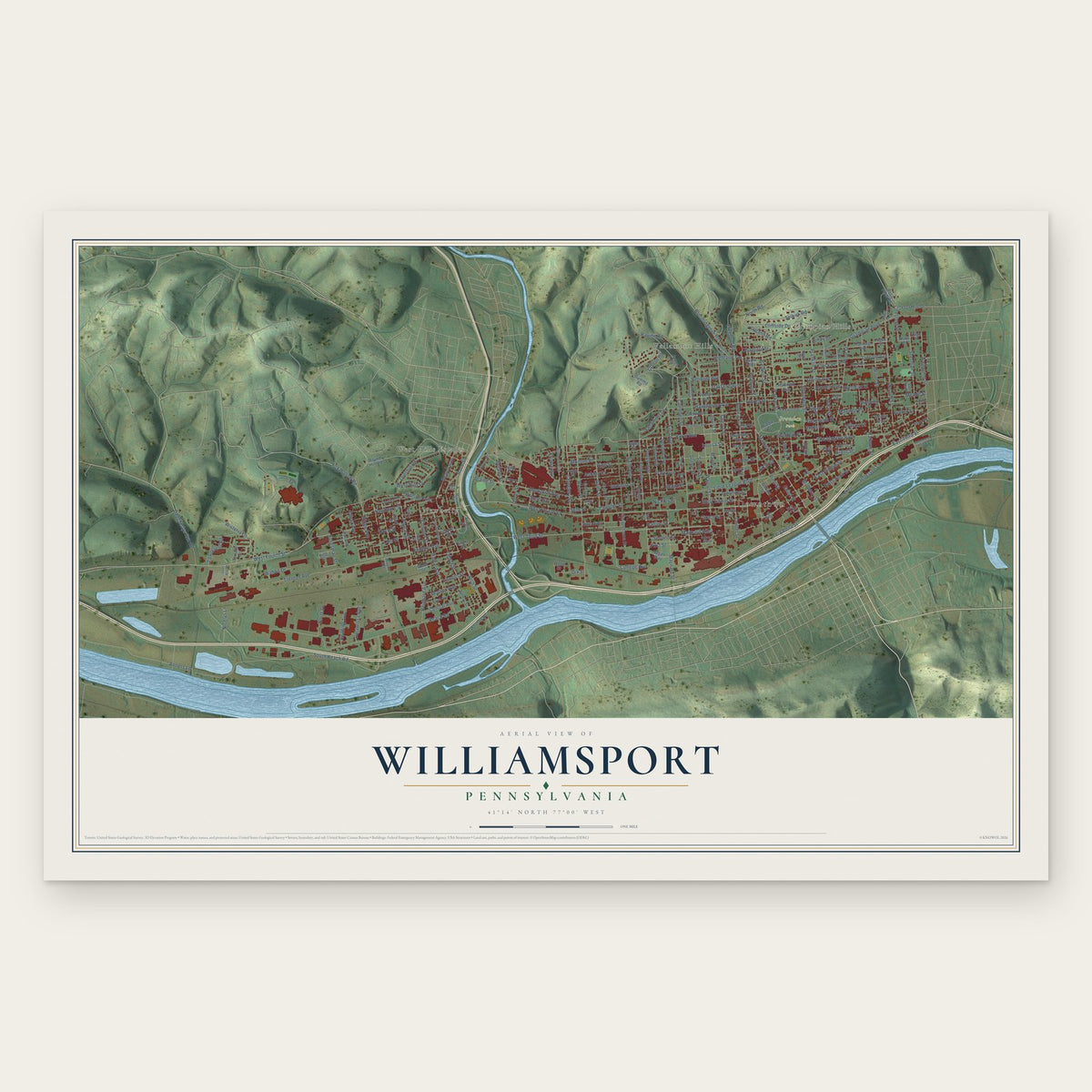
Williamsport, Pennsylvania Map Art
Building by building, with labeled streets and shaded relief.
12" x 18" Archival Matte Print
A Map of Home. A Work of Art.
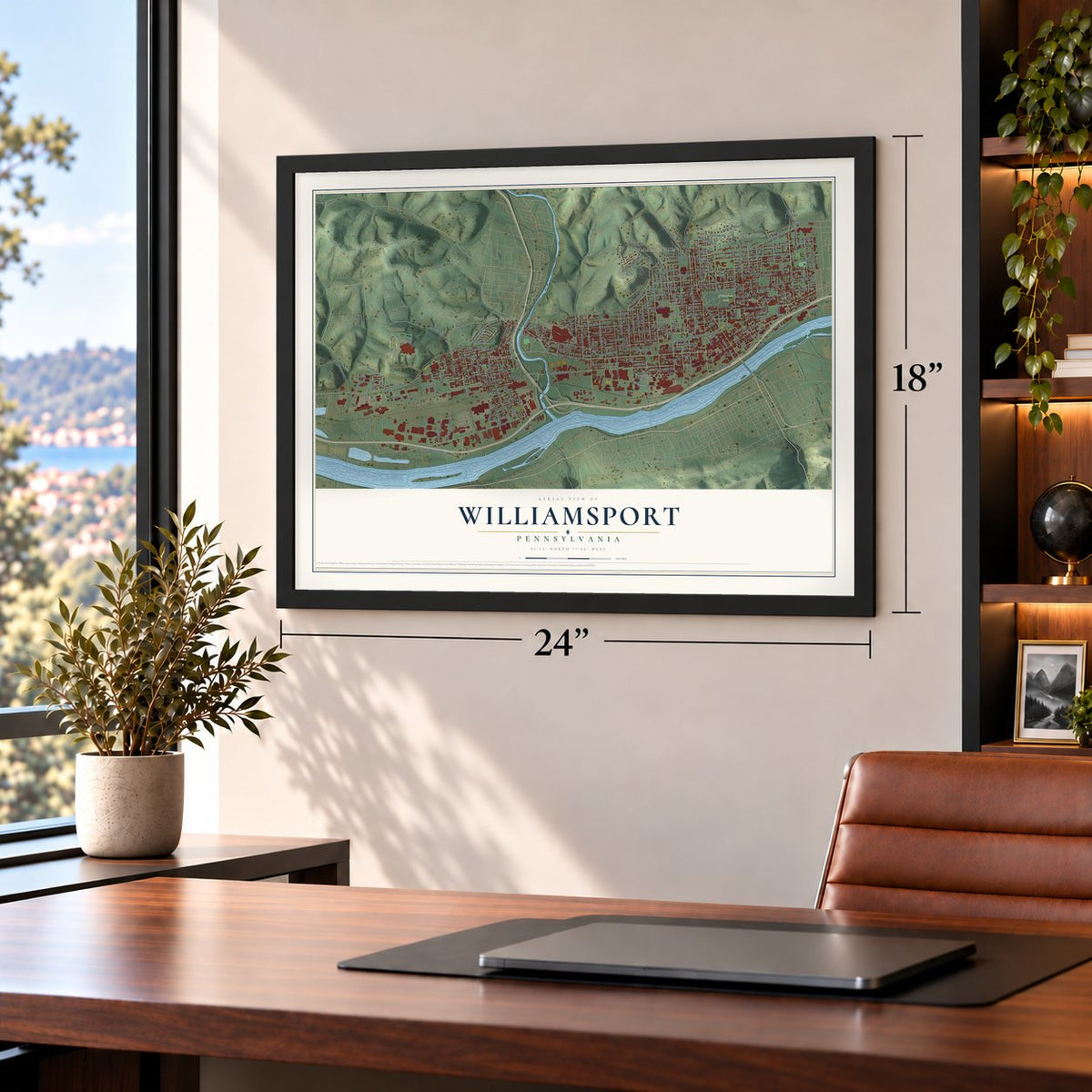
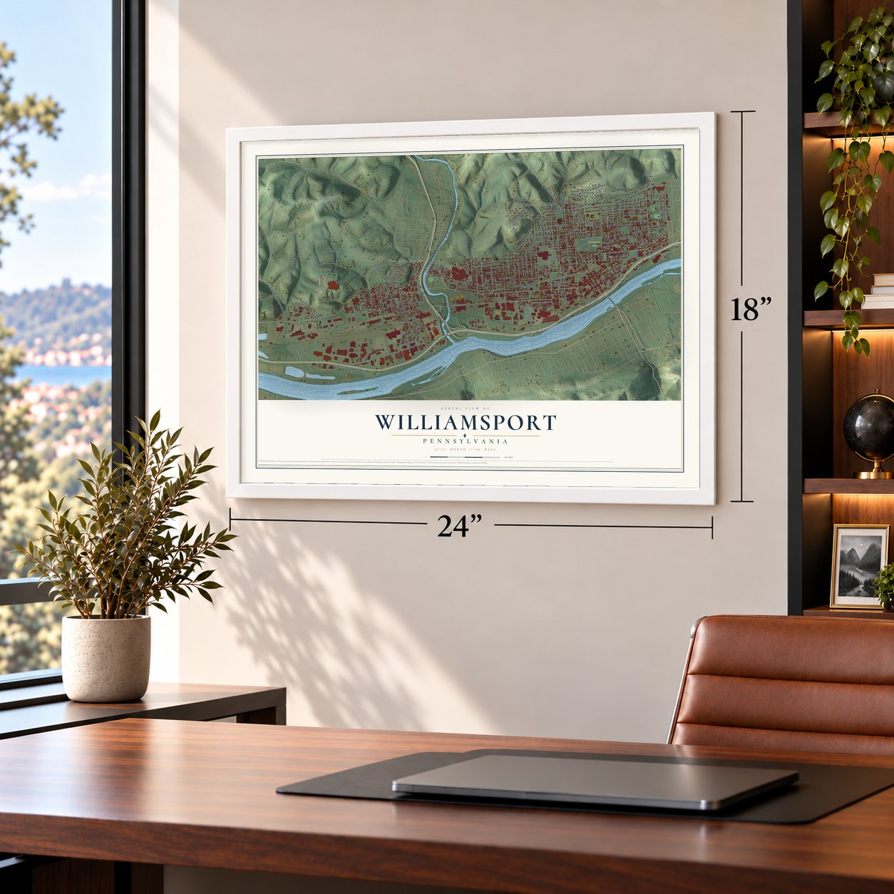
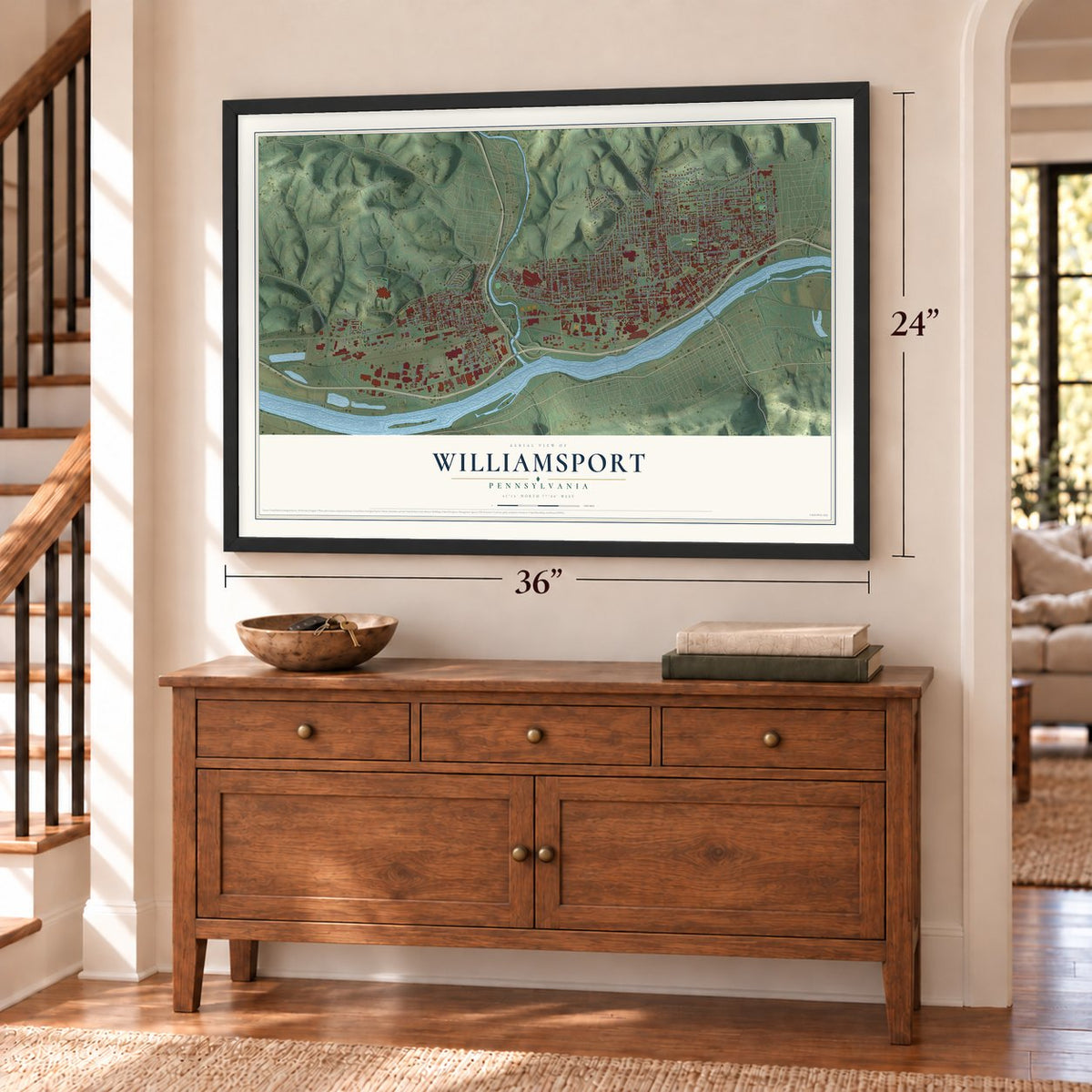
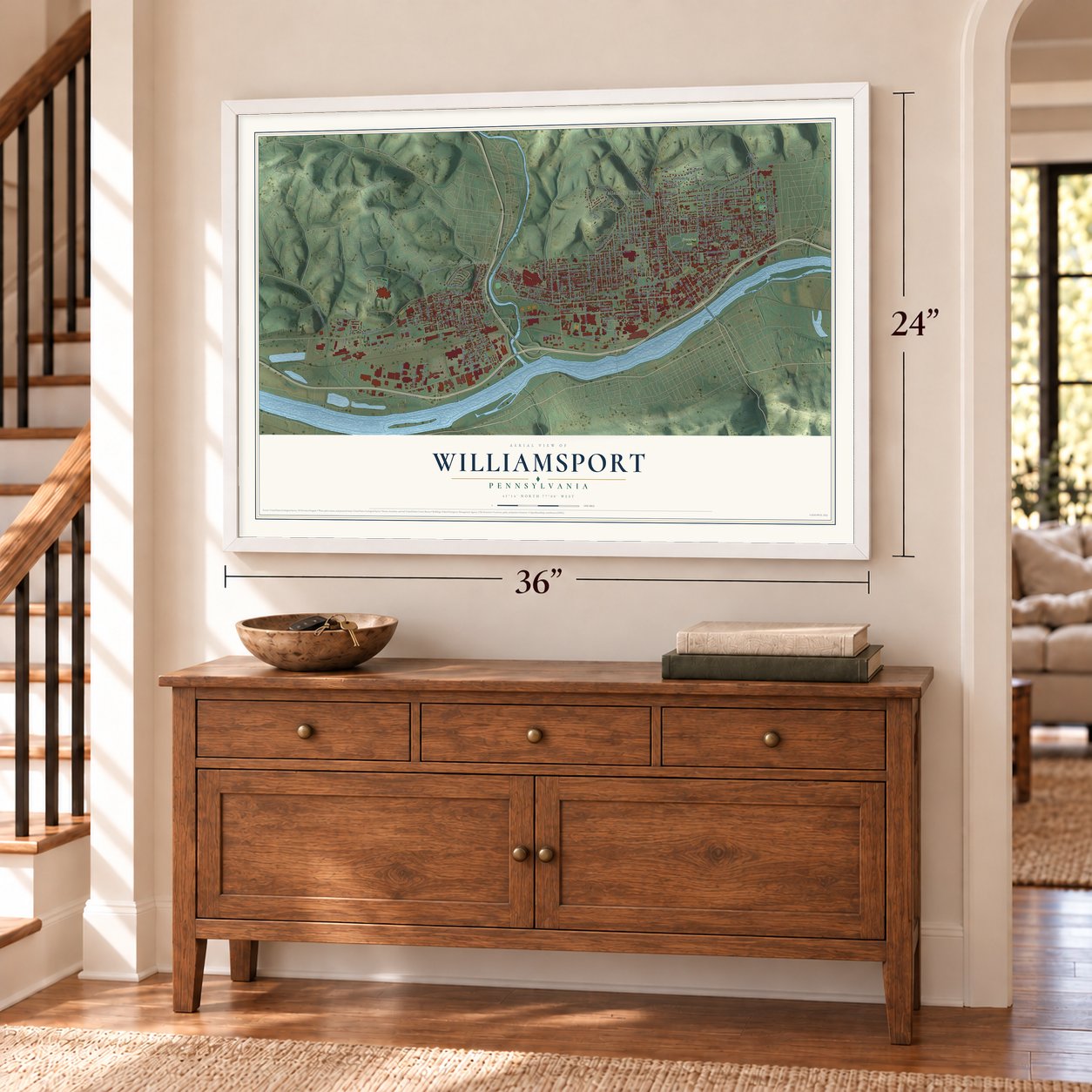
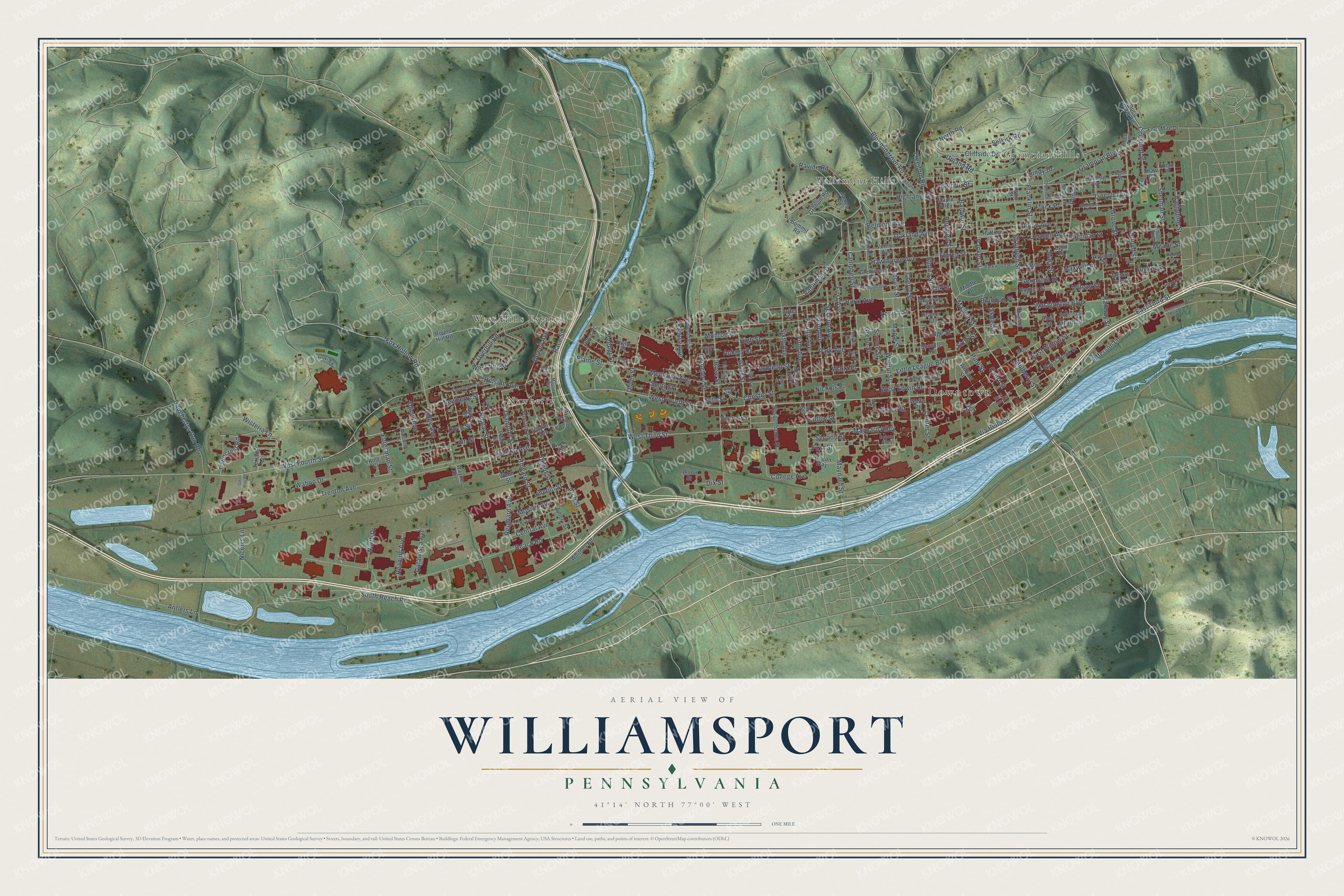
Explore Williamsport, Pennsylvania from a whole new perspective. Created using aerial imagery and detailed geographic data, this map captures Williamsport building by building, with labeled streets, familiar landmarks, and shaded topographical relief that highlights the natural contours of the landscape.
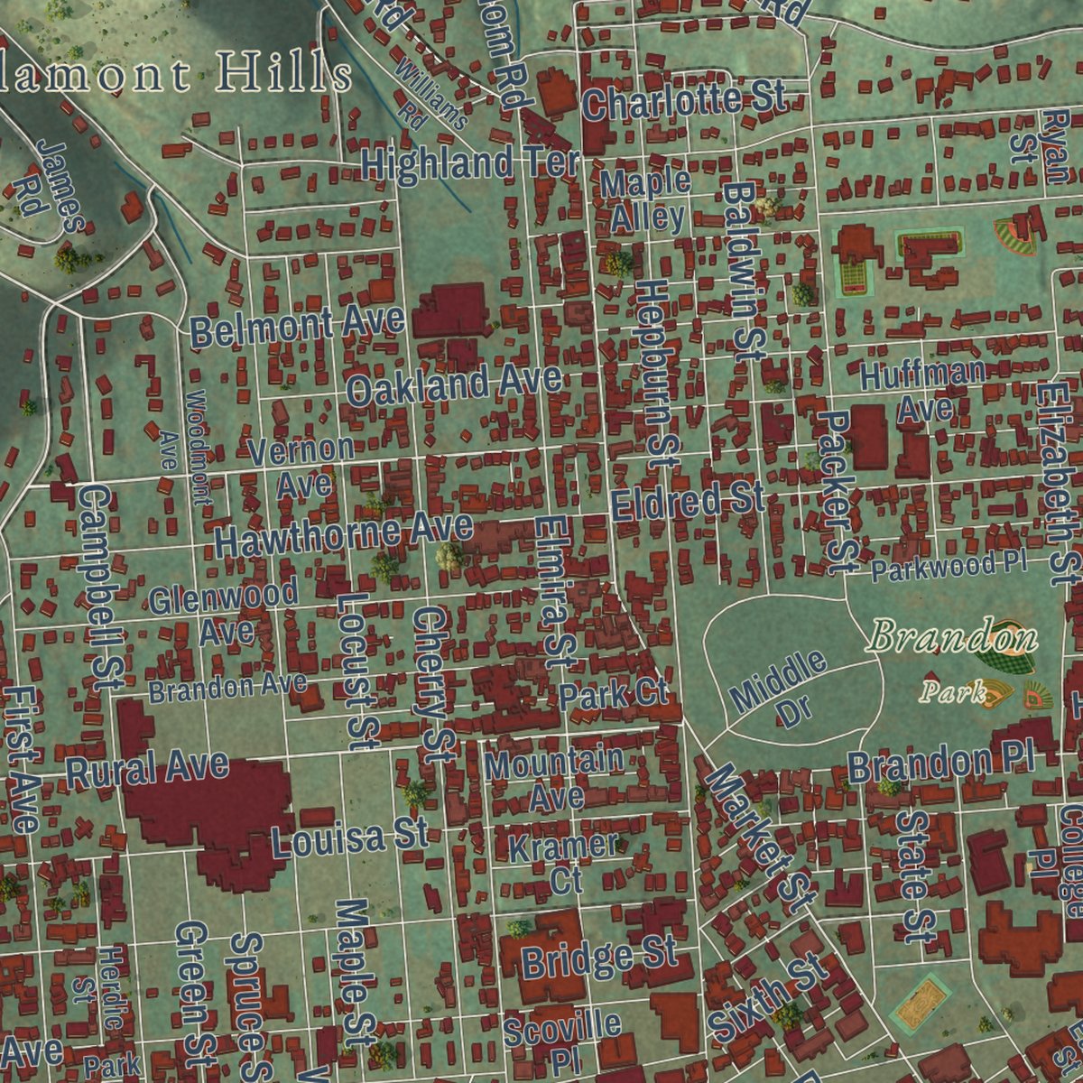
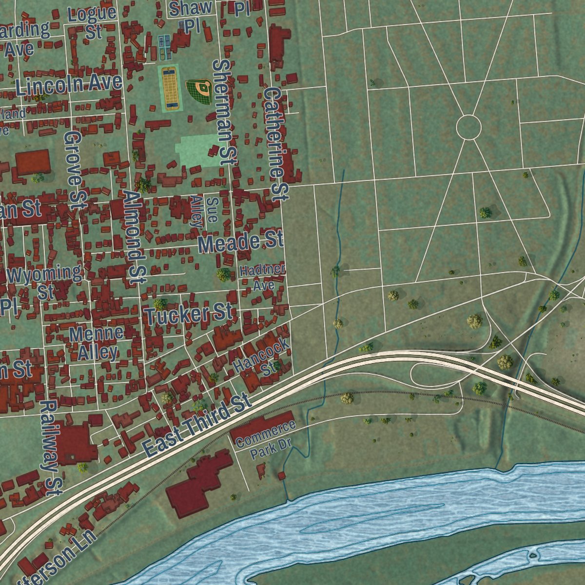
Combining modern data with the timeless character of a vintage atlas, this map is just as interesting up close as it is beautiful on the wall. Whether you grew up in Williamsport, spent memorable years there, or call it home today, this unique map is a great way to celebrate a place that means something to you. Zoom in on the preview to look for your street, and then order a print to put your memories on the wall.
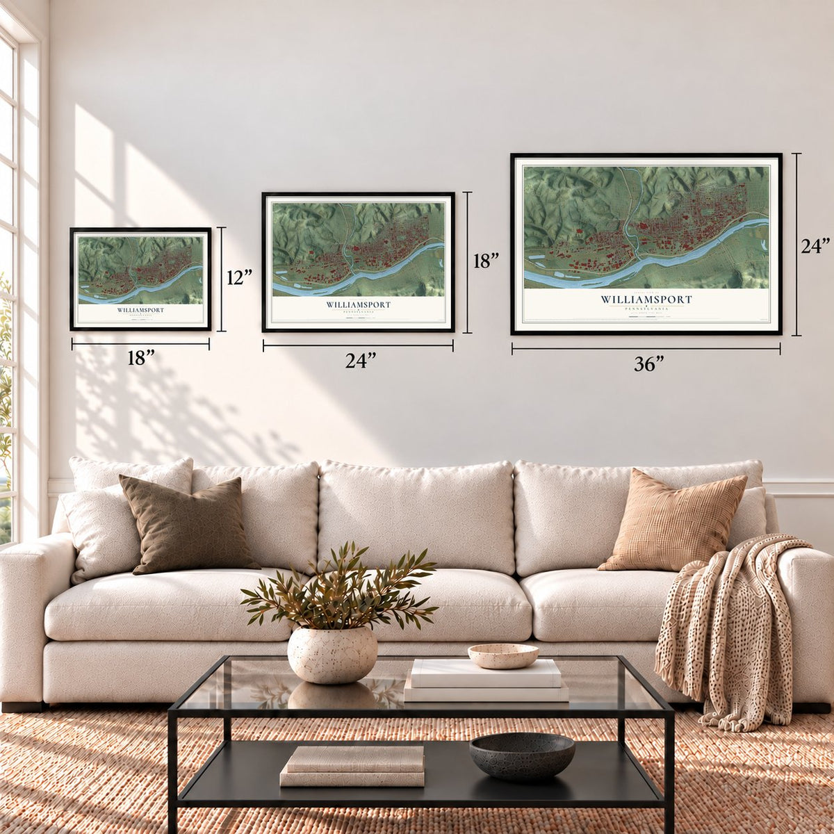
Three ways to hang it
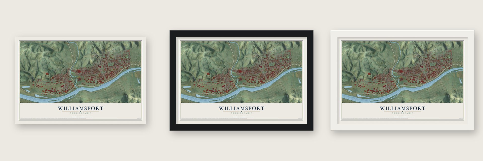
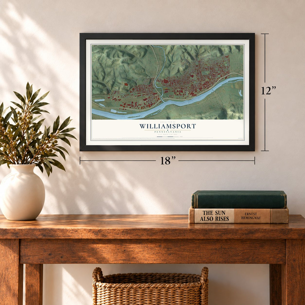
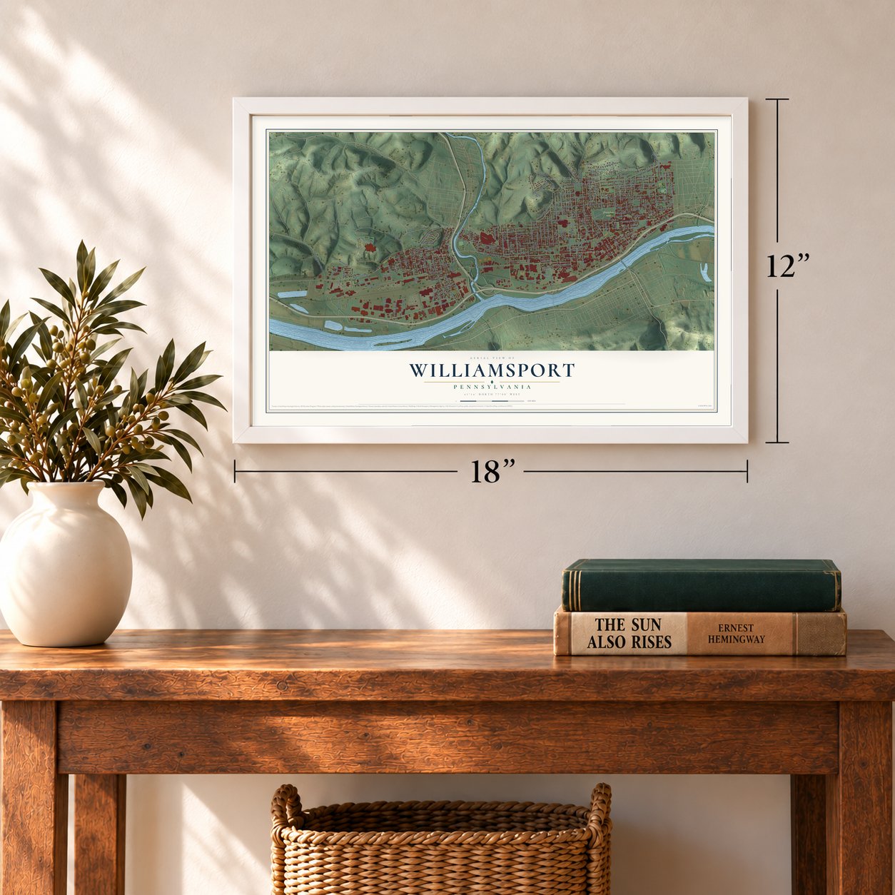
Unframed archival matte, a black wood frame or a white wood frame.
Up close
Geography Worth Displaying
This map was created using accurate cartographic data and authoritative geographic sources, including the U.S. Geological Survey and the Census Bureau. The map brings together terrain, waterways, roads, and building detail. The majority of the streets are labeled, houses are accurately depicted, and the topography is derived from government sources. Combining local data with carefully composed color and shading leads to this beautifully detailed Williamsport artwork for your wall.
Rather than simply showing street outlines, we’ve included as many of the street names as we could reasonably fit on the map while keeping their names legible. Zoom in on the high resolution preview to see exactly what’s on the map. We truly set out to create a statement piece for anyone who loves Williamsport. So whether it’s for you, or a gift for someone you love, we hope this map of Williamsport brings back fond memories.
Read the story behind this map of Williamsport, Pennsylvania from 2026.
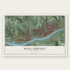
Find your street
Names on the Williamsport map
Every name below is printed on this map. Look for your street, your school, the park where you played, or the pond down the road.
Places and landmarks6
- Downtown
- Grampian Hills
- Vallamont Hills
- Brandon Park
- Newberry
- West Hills Estates
Streets and roads221
- Campbell Street
- Rural Avenue
- Vallamont Drive
- Fifth Avenue
- Market Street
- Newberry Street
- West Third Street
- East Third Street
- Poplar Street
- Dewey Avenue
- Fourth Avenue
- Federal Avenue
- College Avenue
- Fox Hollow Road
- Ridge Avenue
- South Reach Road
- Linn Street
- Via Bella Street
- West Fourth Street
- Memorial Avenue
- High Street
- Reach Road
- Park Avenue
- Louisa Street
- Hepburn Street
- Trenton Avenue
- Walnut Street
- Grampian Boulevard
- Locust Street
- Washington Boulevard
Show all 221 streets
- Arch Street
- Elmira Street
- Brandon Place
- Upland Road
- Hillside Avenue
- Penn Street
- Rose Street
- Packer Street
- Franklin Street
- Mulberry Street
- Almond Street
- Cherry Street
- Lincoln Avenue
- Center Street
- Grove Street
- West Edwin Street
- Second Street
- Daughertys Run Road
- Maxwell Place
- Maynard Street
- Sherman Street
- Eldred Street
- Race Street
- Catherine Street
- Little League Boulevard
- Sheridan Street
- First Avenue
- Vine Avenue
- Chestnut Street
- Cliffside Drive
- Grier Street
- Hawthorne Avenue
- Selkirk Road
- Flock Place
- Scott Street
- Mosser Avenue
- Baldwin Street
- Pine Street
- Second Avenue
- Dove Street
- Court Street
- East Willow Street
- Union Avenue
- State Street
- Cemetery Street
- Third Avenue
- Bloomingrove Road
- Wilson Street
- Tucker Street
- First Street
- Beeber Street
- Hadley Street
- West Hills Drive
- Isabella Street
- Sixth Avenue
- Ravine Road
- Belmont Avenue
- Elizabeth Street
- Germania Street
- Jefferson Lane
- Highland Terrace
- Wahoo Drive
- Railway Street
- Waltz Place
- Maynard Alley
- Meade Street
- Diamond Street
- Lincoln Street
- Reighard Avenue
- Howard Street
- Freedom Road
- Oliver Street
- Monroe Place
- Oakland Avenue
- Overhill Road
- Central Avenue
- Blaine Street
- Maple Street
- Depot Street
- Aubrey Court
- Jerome Avenue
- Reading Avenue
- Oliver Avenue
- Wisteria Lane
- Green Street
- Spruce Street
- Catawissa Avenue
- Mary Street
- Grace Street
- Towncrest Road
- Krouse Avenue
- Nichols Place
- Antlers Lane
- North Drive
- Foresman Street
- Charlotte Street
- Dix Street
- Chester Street
- Seth Street
- Bridge Street
- North Road
- Nicelys Lane
- Grant Street
- Lundy Drive
- Sixth Street
- Vernon Avenue
- Graham Road
- Arnold Street
- Round Hill Road
- Ryan Street
- Glenwood Avenue
- Wayne Avenue
- East Church Street
- Wyoming Street
- Menne Alley
- James Road
- Huffman Avenue
- William Street
- Park Street
- Harding Avenue
- Park Court
- Funston Avenue
- Clark Street
- Four Mile Drive
- Thomas Avenue
- Lycoming Street
- Susquehanna Street
- Adams Street
- Taylor Place
- Glynn Avenue
- Webb Street
- Poco Farm Road
- Ross Street
- Hughes Street
- Maple Alley
- Watson Street
- Mountain Avenue
- Middle Drive
- Emery Street
- Hagan Way
- Whitney Road
- Lyon Place
- Pearl Street
- Kramer Court
- King Court
- College Place
- Poco Lane
- Summit Road
- Terrace Lane
- Ames Place
- Penn Lane
- Scoville Place
- Logue Street
- Hively Place
- Wood Street
- Wolfe Place
- Shaw Place
- Artley Street
- Hiem Place
- Fairview Terrace
- Moore Avenue
- Wildwood Boulevard
- Brandon Avenue
- Parkwood Place
- School Alley
- Hancock Street
- Aubry Place
- Florence Street
- Park Lane
- Royal Avenue
- East Street
- Anne Street
- Mahaffey Street
- Eighth Avenue
- Herdic Street
- Anthony Street
- Tenth Avenue
- West Street
- Sue Alley
- West Church Street
- Woodland Avenue
- Woodmont Avenue
- Seneca Avenue
- Braine Street
- Williams Road
- Andrews Court
- Commerce Park Drive
- Mifflin Place
- Hadtner Avenue
- Steel Way Road
- Celtis Street
Names are listed as they appear on the printed map. Zoom into the product photos to find them.
About Williamsport, Pennsylvania
Williamsport is a city of 27,754 people and the county seat of Lycoming County, on the north bank of the West Branch Susquehanna River. Lycoming County was carved out of Northumberland County on April 13, 1795, and in March 1796 James Russell put up the town's first house, an inn at the spot where East Third and Mulberry Streets now meet. A post office followed in 1799, and William Winter opened the first store on Third Street in 1801.
Lumber made the town rich. Before 1900 Williamsport was called the lumber capital of the world, and every spring logs rode the West Branch down into the Susquehanna Boom, a chain of piers six miles long that held them for the mills. Peter Herdic, a mill owner, served as the boom's president. The 1889 flood badly damaged the boom, and the trade slowly faded after that, though the city kept growing until its population peaked at 45,729 in 1930.
- Little League began hereCarl E. Stotz dreamed up a league for boys in 1938. The first Little League game came on June 6, 1939, on a sandlot beyond Bowman Field. Stotz, Bert Bebble and George Bebble managed the first three teams, which played 24 games that season. Stotz set the distances for the West Fourth Street diamond known as the Original Little League Field, home of the first 12 World Series from 1947 to 1958. It joined the National Register in 2014.
- Bowman Field, 1926The ballpark opened in 1926 as Memorial Field, and its first professional game, on April 27, 1926, matched the Williamsport Grays against the Harrisburg Giants, a Negro league team. In 1929 it took the name of J. Walton Bowman. It has long been called the oldest minor league ballpark still in use in Pennsylvania.
- Peter Herdic's West Fourth StreetHerdic, the lumberman, put up many of the buildings along West Fourth Street, the stretch known as Millionaire's Row. His own 1854 home stands at 407 West Fourth Street and joined the National Register in 1978. In 1875 he gave Trinity Episcopal Church a tower clock, with bells from judge J. W. Maynard, and no other tower clock in the country had rung the Westminster Chime before it.
- Freedom RoadDaniel Hughes, a raftsman who floated logs down the Susquehanna to Maryland, walked escaped slaves back from Baltimore over Bald Eagle Mountain before the Civil War. He and his son Robert hid them in caves behind their home on Freedom Road, fed them and nursed the sick, then sent them to the Apker House in Trout Run, where they boarded railway baggage cars bound for Elmira, New York.
- The Hello, Al floodOn March 17 and 18, 1936, the river crested at 33.9 feet and water reached High Street, knocking out electricity and telephones. Al Glaes kept the city in contact with the outside world from a short-wave radio station in his home on High Street, and the flood has been known locally by his name ever since.
Keep exploring Pennsylvania
Williamsport is one of 3,725 Pennsylvania towns we've mapped. Every dot on the map is a print of its own.
The search covers every state, Pennsylvania first.
Near Williamsport
Order 2 or more town maps and save 10%. Shown in the size and finish you picked above, so they hang as a set.
- Duboistown 12" x 18" / Archival Matte Print $39.99
- Garden View 12" x 18" / Archival Matte Print $39.99
- South Williamsport 12" x 18" / Archival Matte Print $39.99
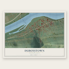
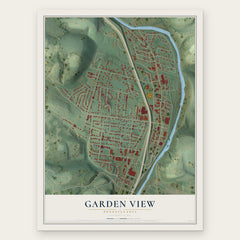
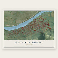
More maps nearby: Old Lycoming, Faxon, Armstrong, Loyalsock and Kenmar.
The art of mapping a place
How This Map Was Made
Real places. Remarkable detail. Discover the layers that turn geographic data into a map of home.

The view from above
Aerial imagery reveals the character of the land: woodland, open fields, and the patterns of a place.

The shape of the land
Elevation data brings hills, valleys, and subtle changes in the landscape into view.

The details of home
Roads, waterways, and building footprints come together to make the map feel unmistakably local.

Geography becomes art
Considered color, shading, and typography bring the layers together in a map made for your wall.


Process illustrated with Mendon, Massachusetts. Aerial imagery: USDA NAIP. Terrain: USGS 3D Elevation Program. Map details and finished artwork: KNOWOL.
The Details
About This Print
Choose an archival matte print, or a black or white Ayous wood frame. The archival matte print is unframed.
Select your size and finish above to see the matching product image and price.
Materials & Craftsmanship
A contemporary map with the character of a classic atlas, printed on archival matte paper. Optional frames are made from Ayous wood.
Your printed map does not include the watermark shown in the full-map preview.
Shipping & Delivery
Free shipping within the United States. Every print is made to order in the USA.
Buying a gift? Add a note in your cart and we'll include it. We never put prices in the package.
Prints ship within 2 to 3 business days. Allow 7 to 10 days total from ordering for delivery. Timing may vary during holidays or periods of high order volume.
Read our shipping policy.
Returns and damaged prints
Each print is made to order. Change-of-mind refunds are not available after production.
If your print arrives damaged, misprinted or incorrect, contact support@knowol.com within 30 days of receiving it. Include your order number, photos and a description of the issue.
Read our full refund and replacement policy. For questions about your order, email support@knowol.com.