
Search for another town


Free U.S. delivery 7 to 10 days after you order
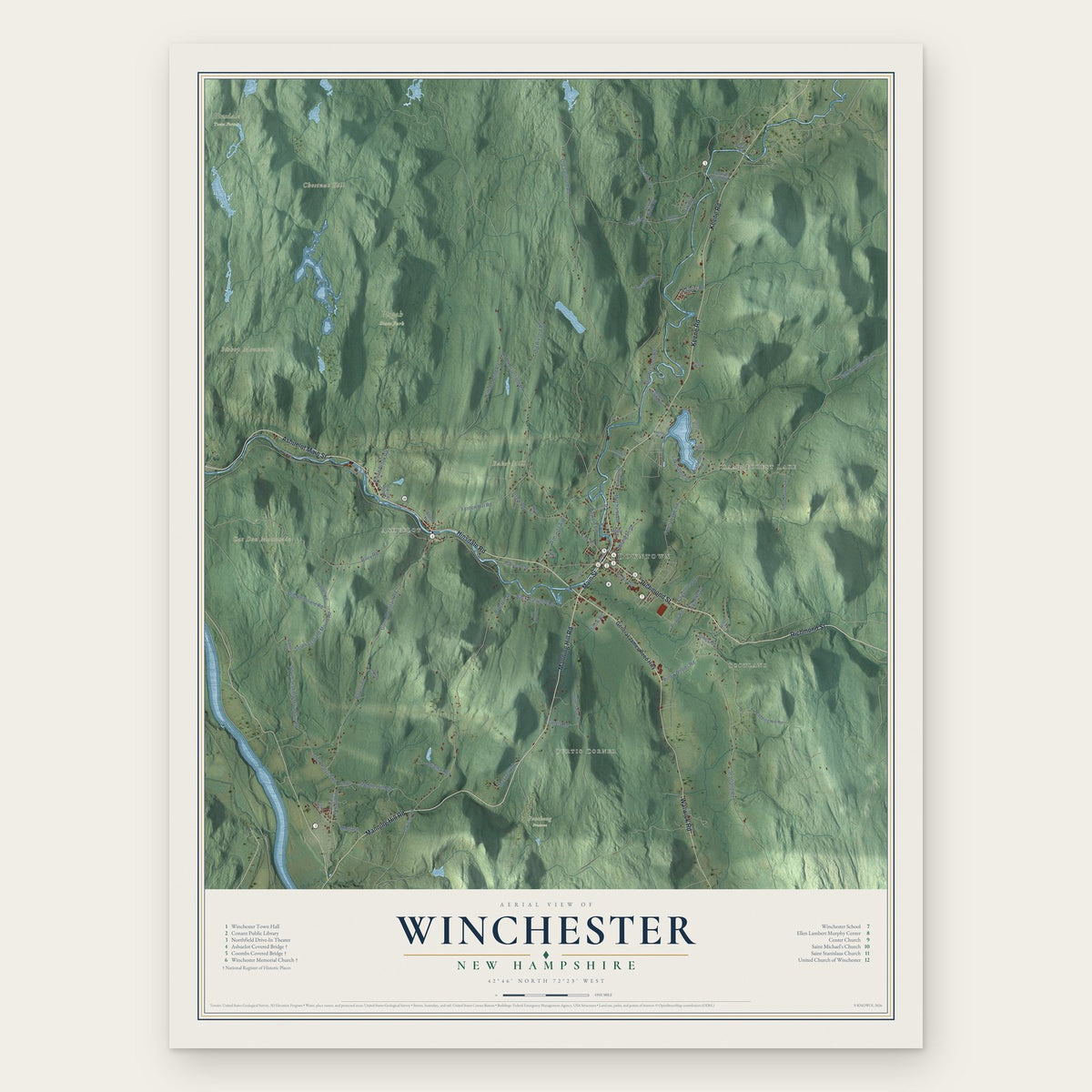
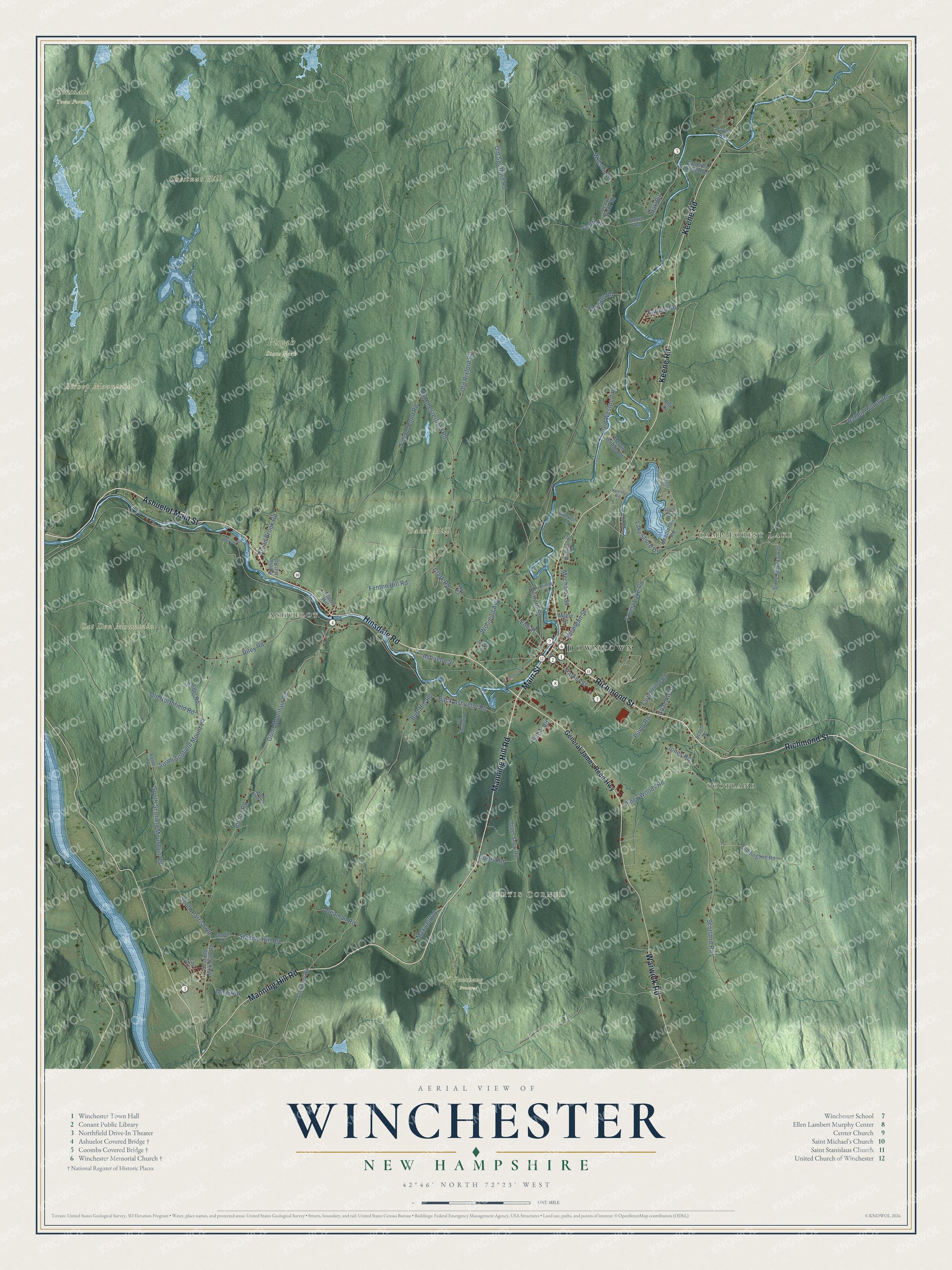
Winchester, New Hampshire Map Art
Building by building, with labeled streets and shaded relief.
12" x 18" Archival Matte Print
A Map of Home. A Work of Art.
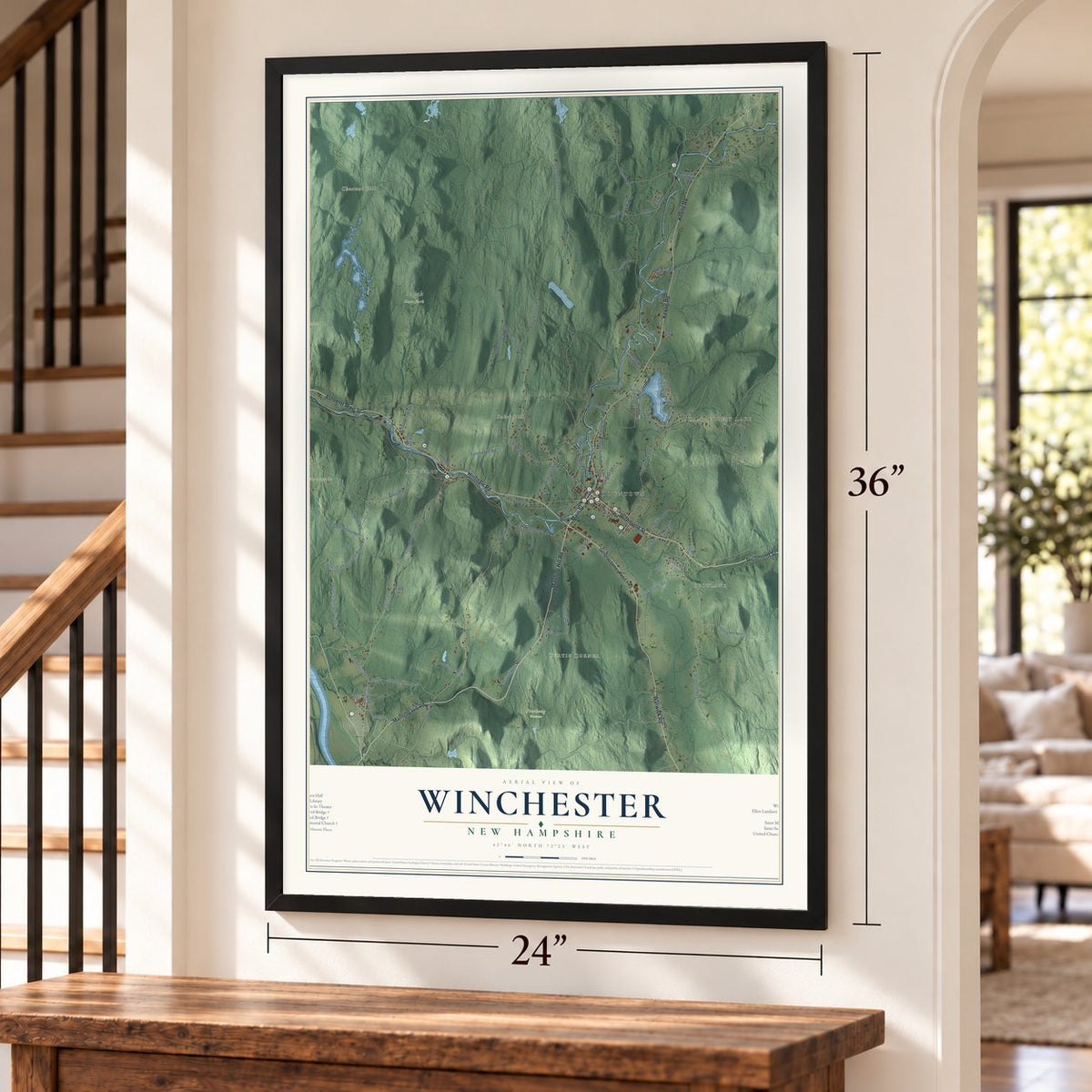
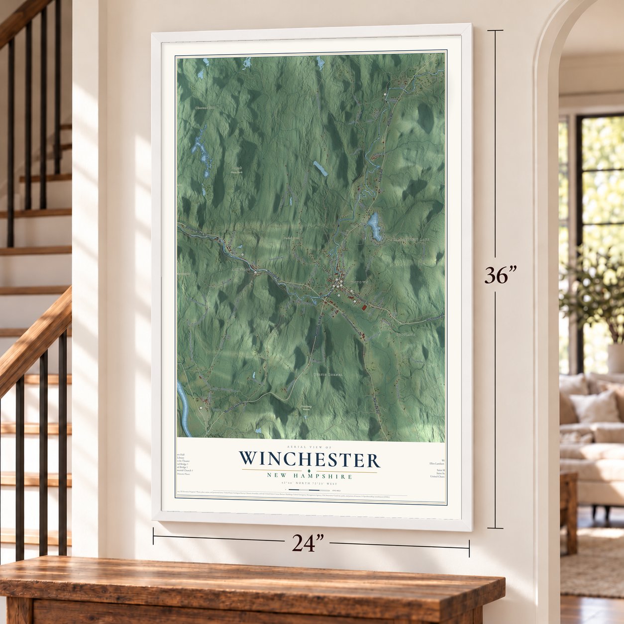
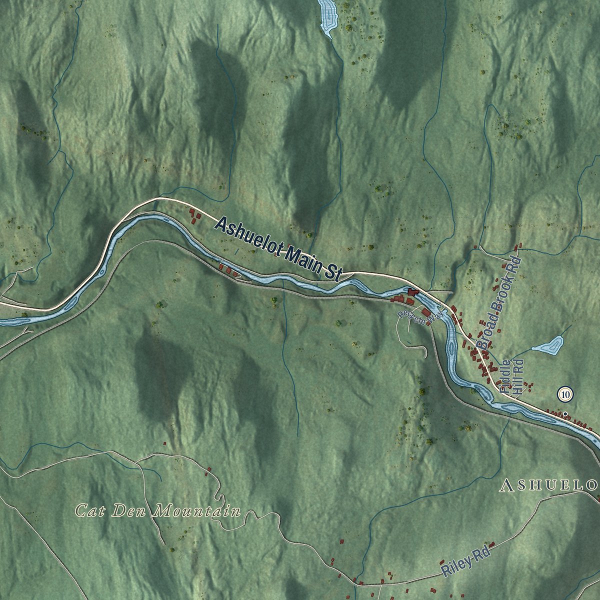
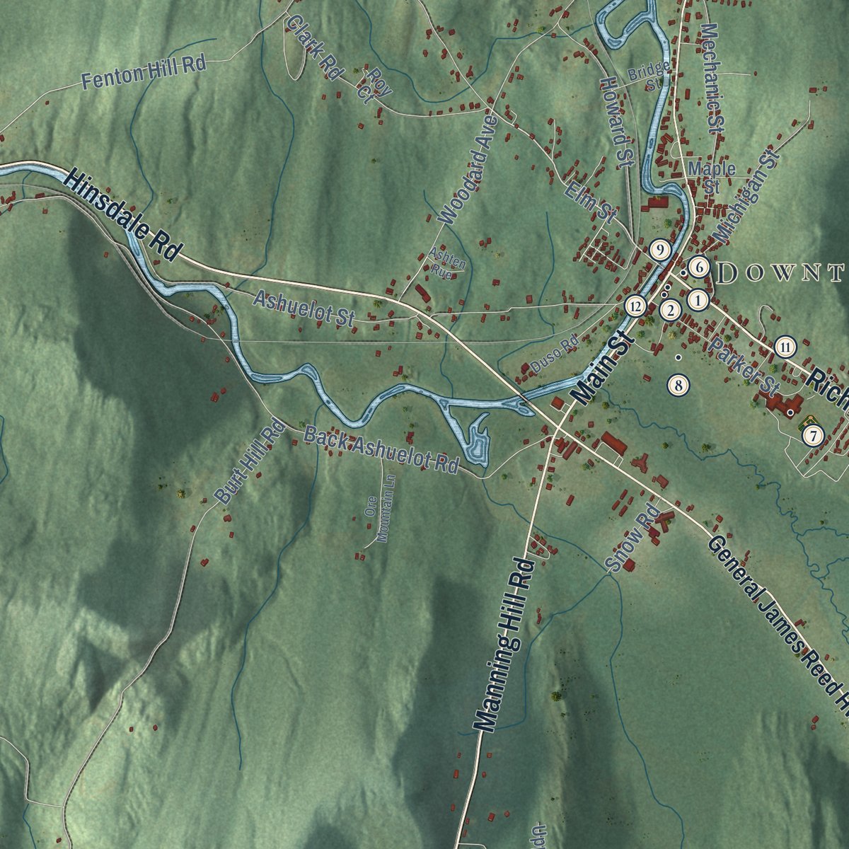
Explore Winchester, New Hampshire from a whole new perspective. Created using aerial imagery and detailed geographic data, this map captures Winchester building by building, with labeled streets, familiar landmarks, and shaded topographical relief that highlights the natural contours of the landscape.
Combining modern data with the timeless character of a vintage atlas, this map is just as interesting up close as it is beautiful on the wall. Whether you grew up in Winchester, spent memorable years there, or call it home today, this unique map is a great way to celebrate a place that means something to you. Zoom in on the preview to look for your street, and then order a print to put your memories on the wall.
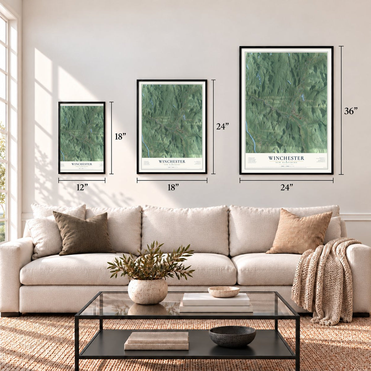
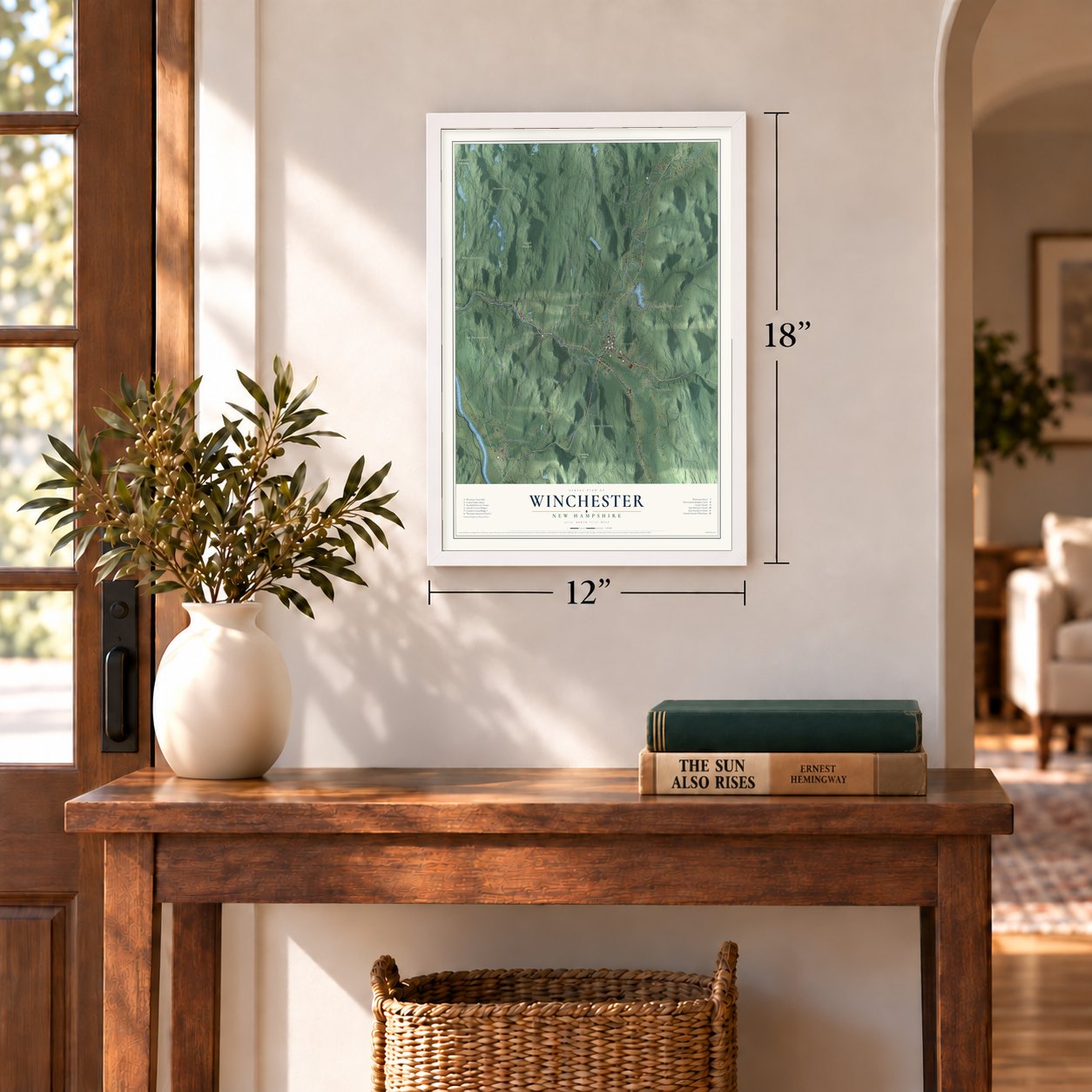
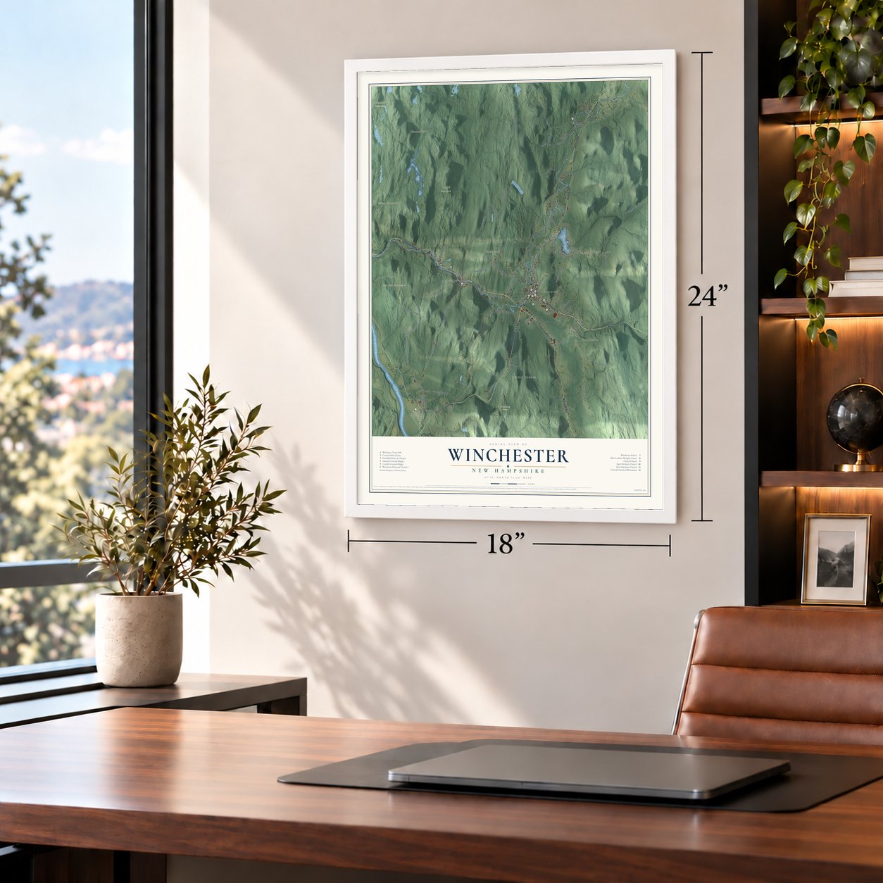
Three ways to hang it
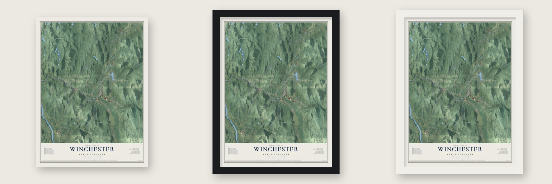
Unframed archival matte, a black wood frame or a white wood frame.
Up close
Geography Worth Displaying
This map was created using accurate cartographic data and authoritative geographic sources, including the U.S. Geological Survey (USGS) and FEMA. The map brings together terrain, waterways, roads, and building detail. The majority of the streets are labeled, houses are accurately depicted, and the topography is derived from government sources. Combining local data with carefully composed color and shading leads to this beautifully detailed Winchester artwork for your wall.
Rather than simply showing street outlines, we’ve included as many of the street names as we could reasonably fit on the map while keeping their names legible. Zoom in on the high resolution preview to see exactly what’s on the map. We truly set out to create a statement piece for anyone who loves Winchester. So whether it’s for you, or a gift for someone you love, we hope this map of Winchester brings back fond memories.
Explore the full map of Winchester, New Hampshire and read about the local places it shows.
Find your street
Names on the Winchester map
Every name below is printed on this map. Look for your street, your school, the park where you played, or the pond down the road.
Places and landmarks12
- Downtown
- Curtis Corner
- Scotland
- Camp Forest Lake
- Ashuelot
- Baker Hill
- Bishop Mountain
- Cat Den Mountain
- Chestnut Hill
- Hinsdale Town Forest
- Pauchaug Preserve
- Pisgah State Park
Streets and roads83
- Richmond Street
- Ashuelot Main Street
- Main Street
- Manning Hill Road
- Hinsdale Road
- Keene Road
- Warwick Road
- Elm Street
- Piney Woods Road
- Fenton Hill Road
- South Parrish Road
- Gunn Mountain Road
- Mine Road
- Riley Road
- Bolton Road
- Jantti Road
- Old Chesterfield Road
- Old Westport Road
- Old Spofford Road
- Burt Hill Road
- Scotland Road
- Forest Lake Road
- Rabbit Hollow Road
- Back Ashuelot Road
- Ashuelot Street
- South Scofield Mount Road
- South Scofield Mountain Road
- Curtis Road
- Staddle Hill Road
- Clark Road
Show all 83 streets
- Old Rixford Road
- Michigan Street
- Mechanic Street
- Old Northfield Road
- Howard Street
- Fullam Pond Road
- Oak Circle
- Fairground Road
- Lake Shore Drive
- Parker Street
- Woodard Avenue
- Watson Road
- Maxwell Road
- Broad Brook Road
- Beaman Road
- Fosgate Road
- Pump Road
- Kapper Road
- Goamko Drive
- Snow Road
- Jones Road
- General James Reed Highway
- Pudding Hill Road
- Acorn Drive
- Scofield Mountain Road
- Verry Brook Road
- Stone Mountain Drive
- Headlands Road
- Upper Snow Road
- Melvin Bridge Road
- Payne Road
- Seminary Road
- Coombs Bridge Road
- Barber Road
- Fiddle Hill Road
- Brown Road
- Spruce Lane
- Allens Hill
- Bell Court
- Maple Street
- Roy Court
- Duso Road
- Wolf Tree Road
- Wedgewood Drive
- Barbar Road
- Bridge Street
- Staddle Road
- Forest Avenue
- South Drive
- Earl Avenue
- Recycle Way
- Ore Mountain Lane
- Ashten Rue
Names are listed as they appear on the printed map. Zoom into the product photos to find them.
About Winchester, New Hampshire
Winchester is a town of 4,150 people in Cheshire County, on the Ashuelot River at the Massachusetts line. Governor Jonathan Belcher of Massachusetts set it up in 1733 under the name Arlington, as one of a chain of towns meant to protect his colony's border along the Connecticut River. Pioneers had come as early as 1732, and they paid a price. Indigenous peoples attacked them many times, several settlers were carried off as captives, and the town was burned in 1745.
The land was declared part of New Hampshire in 1741 and granted to Colonel Josiah Willard, who commanded Fort Dummer. Governor Benning Wentworth incorporated it in 1753 as Winchester, honoring Charles Paulet, Marquess of Winchester, who served as constable of the Tower of London. The church here dates to 1736, and in 1803 a Universalist congress met in town and adopted the Winchester Profession, a statement of that faith's beliefs.
- Instruments, boxes and leatherWinchester was mostly farms, yet small industries kept springing up. In the 1830s Graves & Company ranked among the country's earliest musical instrument makers. When the Ashuelot Railroad reached town in 1850, textile mills and wooden-ware shops followed, with box making and leather tanning leading the way.
- The Ashuelot Covered BridgeIn 1864 the town voted to replace an older crossing in Ashuelot village, and the new bridge opened a year later at a cost of $4,650. Its Town lattice truss runs 178 feet in two spans, and for years it tied the railroad station on the south bank to the village on the north. A $667,000 rehabilitation reopened it on July 2, 1999, and in 2003 it won the first Palladio Award given for a covered bridge.
- The Coombs Covered Bridge, 1843The town's older bridge went up in 1843 beside the farm of Anthony Coombs Jr., in the north of town between Winchester and Swanzey villages. Its single 107-foot span sits on stone abutments laid without mortar, and Winchester has cared for it ever since, with major repairs in 1971 and 1997.
- A library from a leather fortuneEzra Conant grew up in Winchester and made his money in leather. In 1889 he left the town $50,000 for a library, on the condition that it stand apart from the town hall. Springfield architect J. M. Currier modeled the red brick Romanesque Revival building on his 1886 library in Brattleboro, Vermont, and the Conant Public Library opened on Main Street in April 1892.
- The state's first woman bankerJane Grace Alexander, born in Winchester in 1848, joined the Winchester National Bank in 1871 and worked there for 52 years. In 1881 the Security Savings Bank of Winchester elected her treasurer, making her the first woman in New Hampshire to hold that kind of office.
Keep exploring New Hampshire
Winchester is one of 279 New Hampshire towns we've mapped. Every dot on the map is a print of its own.
The search covers every state, New Hampshire first.
Near Winchester
Order 2 or more town maps and save 10%. Shown in the size and finish you picked above, so they hang as a set.
- Hinsdale 12" x 18" / Archival Matte Print $39.99
- Richmond 12" x 18" / Archival Matte Print $39.99
- West Swanzey 12" x 18" / Archival Matte Print $39.99


More maps nearby: Swanzey, Chesterfield, Troy, Keene and Westmoreland.
The art of mapping a place
How This Map Was Made
Real places. Remarkable detail. Discover the layers that turn geographic data into a map of home.

The view from above
Aerial imagery reveals the character of the land: woodland, open fields, and the patterns of a place.

The shape of the land
Elevation data brings hills, valleys, and subtle changes in the landscape into view.

The details of home
Roads, waterways, and building footprints come together to make the map feel unmistakably local.

Geography becomes art
Considered color, shading, and typography bring the layers together in a map made for your wall.


Process illustrated with Mendon, Massachusetts. Aerial imagery: USDA NAIP. Terrain: USGS 3D Elevation Program. Map details and finished artwork: KNOWOL.
The Details
About This Print
Choose an archival matte print, or a black or white Ayous wood frame. The archival matte print is unframed.
Select your size and finish above to see the matching product image and price.
Materials & Craftsmanship
A contemporary map with the character of a classic atlas, printed on archival matte paper. Optional frames are made from Ayous wood.
Your printed map does not include the watermark shown in the full-map preview.
Shipping & Delivery
Free shipping within the United States. Every print is made to order in the USA.
Buying a gift? Add a note in your cart and we'll include it. We never put prices in the package.
Prints ship within 2 to 3 business days. Allow 7 to 10 days total from ordering for delivery. Timing may vary during holidays or periods of high order volume.
Read our shipping policy.
Returns and damaged prints
Each print is made to order. Change-of-mind refunds are not available after production.
If your print arrives damaged, misprinted or incorrect, contact support@knowol.com within 30 days of receiving it. Include your order number, photos and a description of the issue.
Read our full refund and replacement policy. For questions about your order, email support@knowol.com.