
Search for another town




Free U.S. delivery 7 to 10 days after you order
Winfield, Alabama Map Art
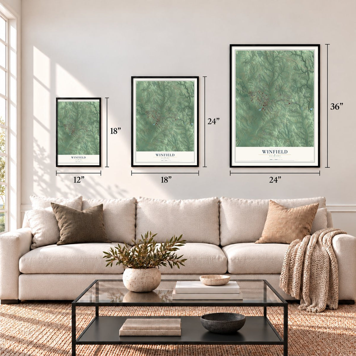
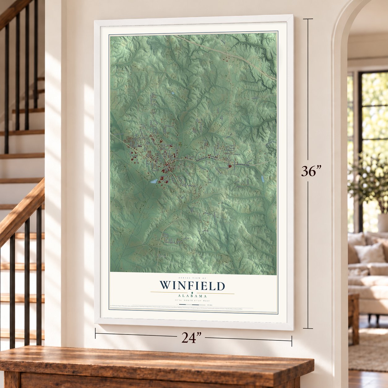
A new map of Winfield, Alabama, made in 2026 and printed to order on thick archival matte paper.
12" x 18" Archival Matte Print
A Map of Home. A Work of Art.
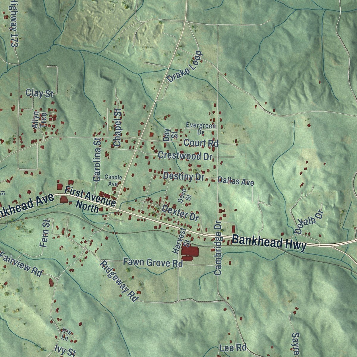
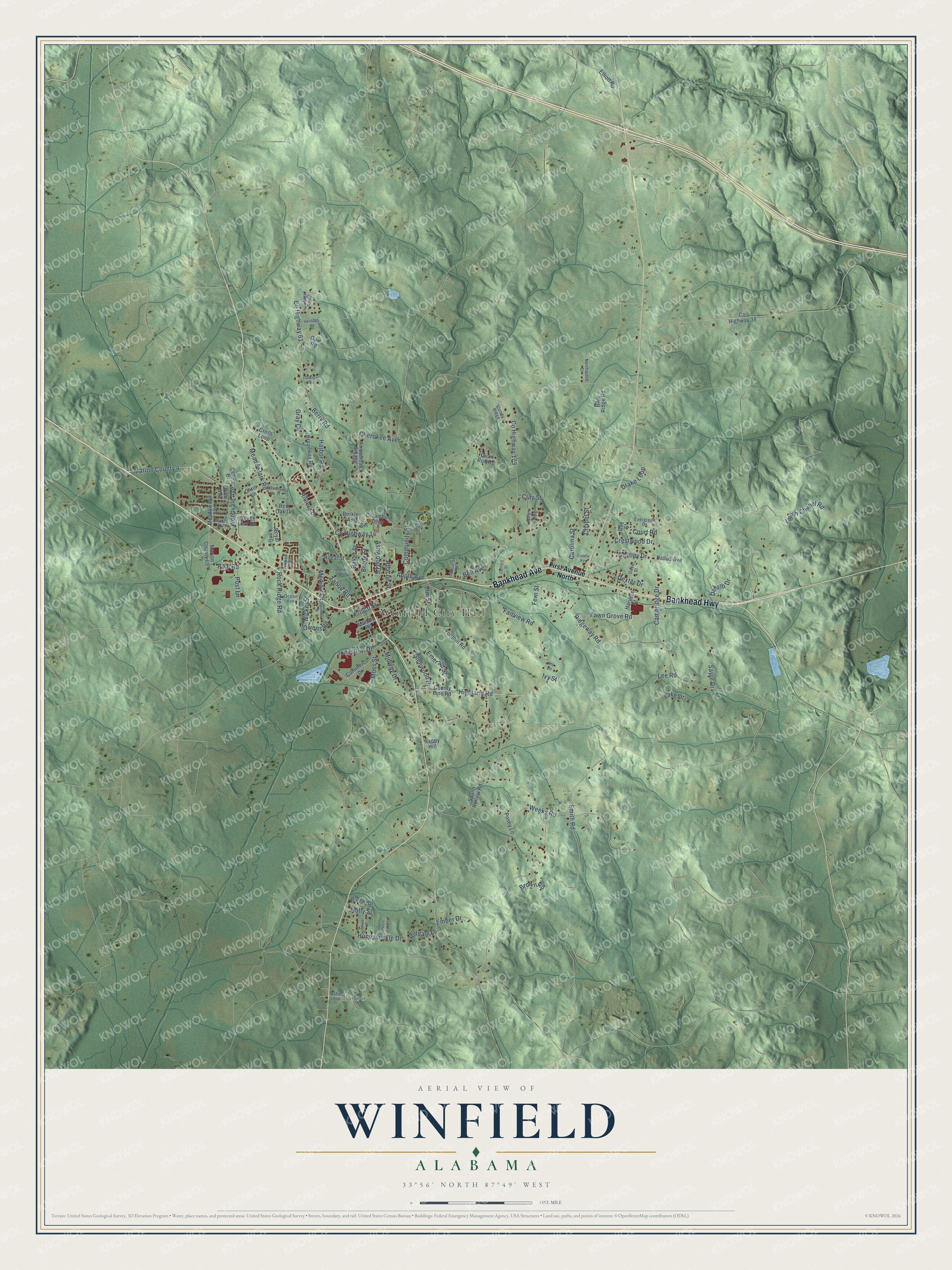
Explore Winfield, Alabama from a whole new perspective. Created using aerial imagery and detailed geographic data, this map captures Winfield building by building, with labeled streets, familiar landmarks, and shaded topographical relief that highlights the natural contours of the landscape.
Combining modern data with the timeless character of a vintage atlas, this map is just as interesting up close as it is beautiful on the wall. Whether you grew up in Winfield, spent memorable years there, or call it home today, this unique map is a great way to celebrate a place that means something to you. Zoom in on the preview to look for your street, and then order a print to put your memories on the wall.
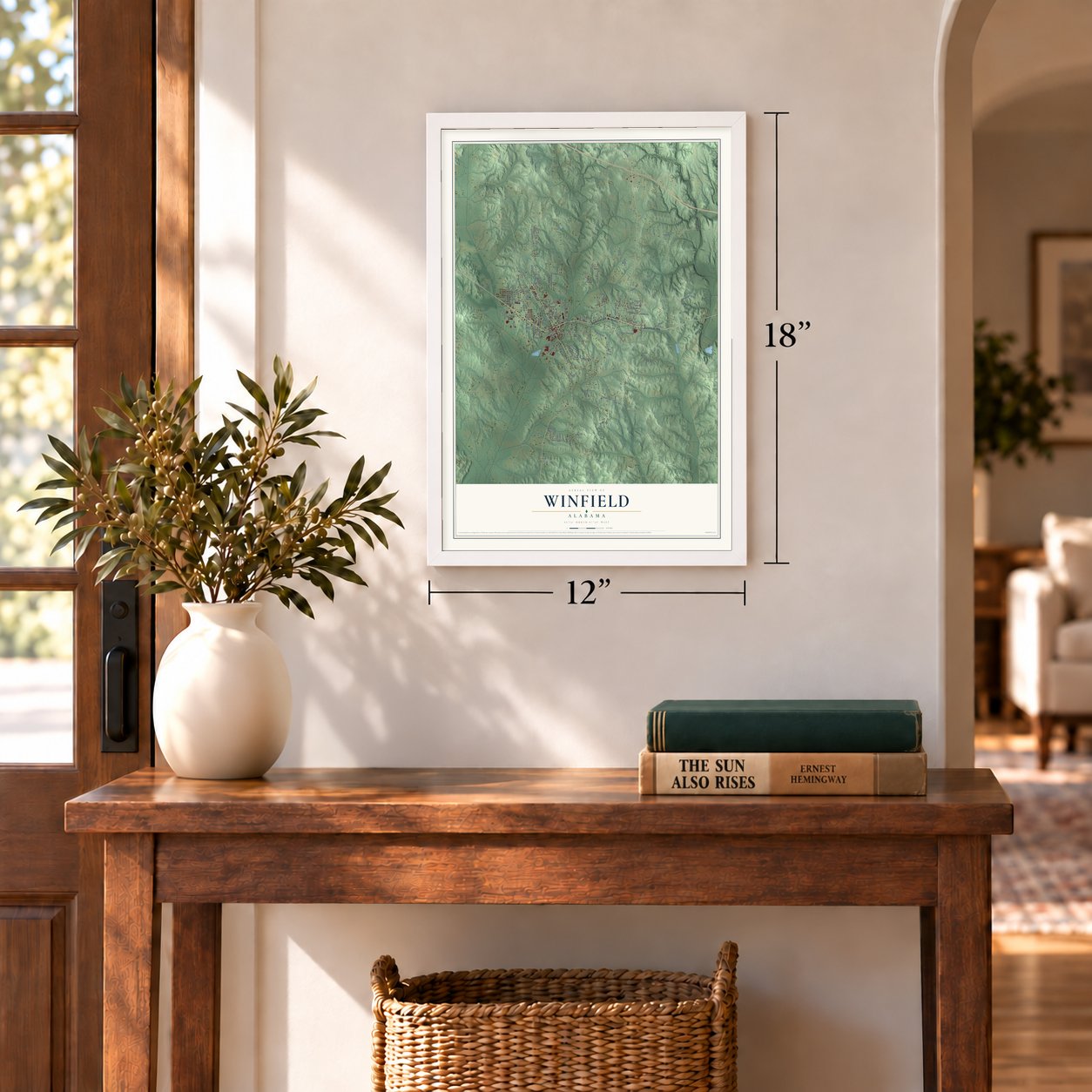
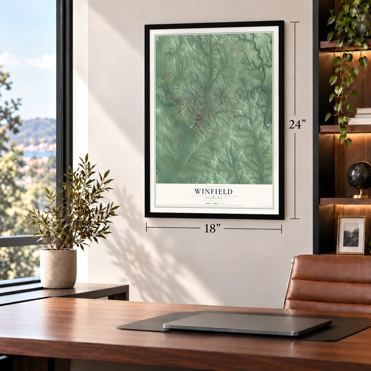
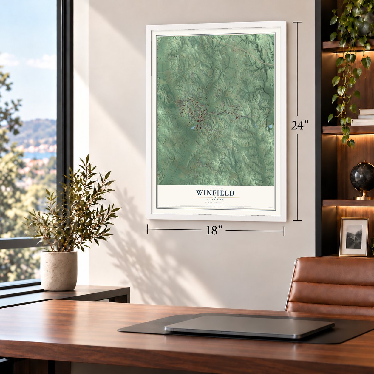
Three ways to hang it
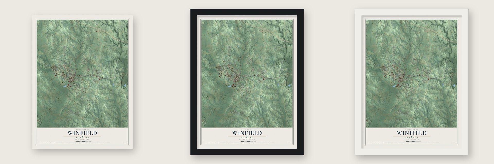
Unframed archival matte, a black wood frame or a white wood frame.
Up close
Geography Worth Displaying
This map was created using accurate cartographic data and authoritative geographic sources, including the U.S. Geological Survey and the Census Bureau. The map brings together terrain, waterways, roads, and building detail. The majority of the streets are labeled, houses are accurately depicted, and the topography is derived from government sources. Combining local data with carefully composed color and shading leads to this beautifully detailed Winfield artwork for your wall.
Rather than simply showing street outlines, we’ve included as many of the street names as we could reasonably fit on the map while keeping their names legible. Zoom in on the high resolution preview to see exactly what’s on the map. We truly set out to create a statement piece for anyone who loves Winfield. So whether it’s for you, or a gift for someone you love, we hope this map of Winfield brings back fond memories.
Read the story behind this map of Winfield, Alabama from 2026.

About Winfield, Alabama
Winfield is a city of 4,845 people in northwest Alabama, mostly in Marion County with a small part reaching south into Fayette County. The Chickasaw once hunted in these woods, and settlers of European descent arrived in the 1830s and called the place Luxapallila, after the creek beside it. For flour, sugar and other supplies they had to go to Columbus, Mississippi, about 60 miles west, and the round trip could take a week.
That isolation ended in 1887, when the Kansas City, Memphis, and Birmingham railroad reached the town and a post office opened. Residents picked the name Needmore, but another Alabama town already used it, so they sent three new choices to William A. Musgrove, a leading local landowner. He chose Winfield, in honor of Gen. Winfield Scott, and the town was incorporated in 1887 or 1891, since the records disagree.
- A store open since 1895Among Winfield's earliest businesses were a shoe factory, a tanning yard, a boarding house, a saloon and a number of stores. The R. W. Harris Store opened in 1895 and still does business in town.
- A bank that never closedWinfield State Bank, the town's first and oldest bank, opened on June 8, 1907, and kept its doors open straight through the Great Depression. Its original vault door was built around 1915 by the Herring-Hall-Marvin Safe Co. The bank's current building, now State Bank and Trust, was designed by Warren, Knight & Davis of Birmingham and is on the Alabama Register of Historic Places.
- Alabama Mills in 1929Alabama Power Company brought electricity to Winfield in 1924, and the first water works followed in 1928. A year later Alabama Mills, a cotton mill, started up, and for several decades it was the backbone of the town's economy. Winfield had an airfield by 1933 and telephone service by 1941, and in 1946 the city took over the water works.
- Mule Day since 1975Each September since 1975, Winfield has held Mule Day to honor the part mules played in Alabama's past. The day brings a mule parade through downtown, a mule competition, arts and crafts, antique tractors and cars, a run and walk, food and live music, and as many as 25,000 people come.
- The Pastime TheatreThe Pastime Theatre went up downtown in 1937 as an art-deco movie house. It has been restored, and the city now runs it as a performing arts center for concerts, movies and other shows.
Find your street
Names on the Winfield map
Every name below is printed on this map. Look for your street, your school, the park where you played, or the pond down the road.
Places and landmarks3
- Winfield City Hall
- Bobo
- Heritage Park
Streets and roads114
- Bankhead Highway
- Bankhead Avenue
- Highland Road
- Fairview Road
- Smith Road
- Meadowlark Road
- County Highway 173
- Court Road
- Tahoe Road
- County Highway 14
- Weeks Road
- Cambridge Drive
- Community Street
- Harbor Road
- Ridgeway Road
- Marion County 4
- Midway Drive
- Crestwood Drive
- Fern Street
- Union Chapel Road
- Fawn Grove Road
- Honeysuckle Drive
- Berry Road
- Destiny Drive
- Industrial Drive
- Apple Avenue
- Rock Ridge Road
- Cherokee Avenue
- Gray Circle
- County Highway 61
Show all 114 streets
- Pike Road
- Baker Street
- Woodvale Avenue
- Ashwood Drive
- Holly Street
- Emerald Street
- Riviera Drive
- Carolina Street
- Lake Drive
- Dexter Drive
- Apache Street
- Moss Street
- Sayre Drive
- Owens Road
- Glenwood Drive
- Ember Drive
- Medical Drive
- Brook Street
- Drake Loop
- Chapel Street
- Dekalb Drive
- Brown Road
- Bell Avenue
- Post Lane
- Nickel Street
- Hilldale Drive
- Frisco Street
- Clay Street
- Lee Road
- Elm Street
- Ivy Street
- First Avenue North
- County Line Road
- Broadway Road
- Foothill Road
- Meadowood Avenue
- Silver Leaf Road
- Elliott Road
- Mallard Road
- Berkley Avenue
- Dallas Avenue
- Spann Hollow Road
- Harvest Street
- Quail Run Road
- Cedar Drive
- Posey Lane
- Arrowhead Village
- Marion County 69
- Red Oak Drive
- Royal Loop
- Chris Lane
- Commerce Drive
- Regal Street
- Columbus Loop
- County Highway 38
- Allyn Trce
- Blue Ridge Road
- Barton Drive
- Cross Loop
- Happy Hill
- Guin Road
- Pine Avenue
- Day Street
- Park Drive
- Evergreen Drive
- Dove Street
- Northwood Drive
- Maple Avenue
- Ocean Avenue
- Church Street
- Bay Street
- Bobo Loop
- Timber Trail
- Stoney Ridge
- Iris Lane
- Rosewood Street
- Century Street
- Rainbow Street
- Juniper Street
- Shiloh Loop
- Heritage Road
- White Oaks Lane
- Candle Avenue
- Oakleaf Circle
Names are listed as they appear on the printed map. Zoom into the product photos to find them.
The art of mapping a place
How This Map Was Made
Real places. Remarkable detail. Discover the layers that turn geographic data into a map of home.

The view from above
Aerial imagery reveals the character of the land: woodland, open fields, and the patterns of a place.

The shape of the land
Elevation data brings hills, valleys, and subtle changes in the landscape into view.

The details of home
Roads, waterways, and building footprints come together to make the map feel unmistakably local.

Geography becomes art
Considered color, shading, and typography bring the layers together in a map made for your wall.


Process illustrated with Mendon, Massachusetts. Aerial imagery: USDA NAIP. Terrain: USGS 3D Elevation Program. Map details and finished artwork: KNOWOL.
The Details
About This Print
Choose an archival matte print, or a black or white Ayous wood frame. The archival matte print is unframed.
Select your size and finish above to see the matching product image and price.
Materials & Craftsmanship
A contemporary map with the character of a classic atlas, printed on archival matte paper. Optional frames are made from Ayous wood.
Your printed map does not include the watermark shown in the full-map preview.
Shipping & Delivery
Free shipping within the United States. Every print is made to order in the USA.
Buying a gift? Add a note in your cart and we'll include it. We never put prices in the package.
Prints ship within 2 to 3 business days. Allow 7 to 10 days total from ordering for delivery. Timing may vary during holidays or periods of high order volume.
Read our shipping policy.
Returns and damaged prints
Each print is made to order. Change-of-mind refunds are not available after production.
If your print arrives damaged, misprinted or incorrect, contact support@knowol.com within 30 days of receiving it. Include your order number, photos and a description of the issue.
Read our full refund and replacement policy. For questions about your order, email support@knowol.com.
Find your town
Looking for another city?
Find a map of home in our Alabama collection, or any town in the country.
Nearby
Maps of towns near Winfield
Know someone from one of these towns? Their map makes a great gift.
 Glen Allen
, Alabama
From $39.99See the map
 Gu-Win
, Alabama
From $39.99See the map
 Twin
Twin, Alabama
From $39.99See the map
More maps nearby: Brilliant, Guin, Eldridge, Beaverton and Kansas.