
Search for another town




Free U.S. delivery 7 to 10 days after you order
Winnsboro, Louisiana Map Art
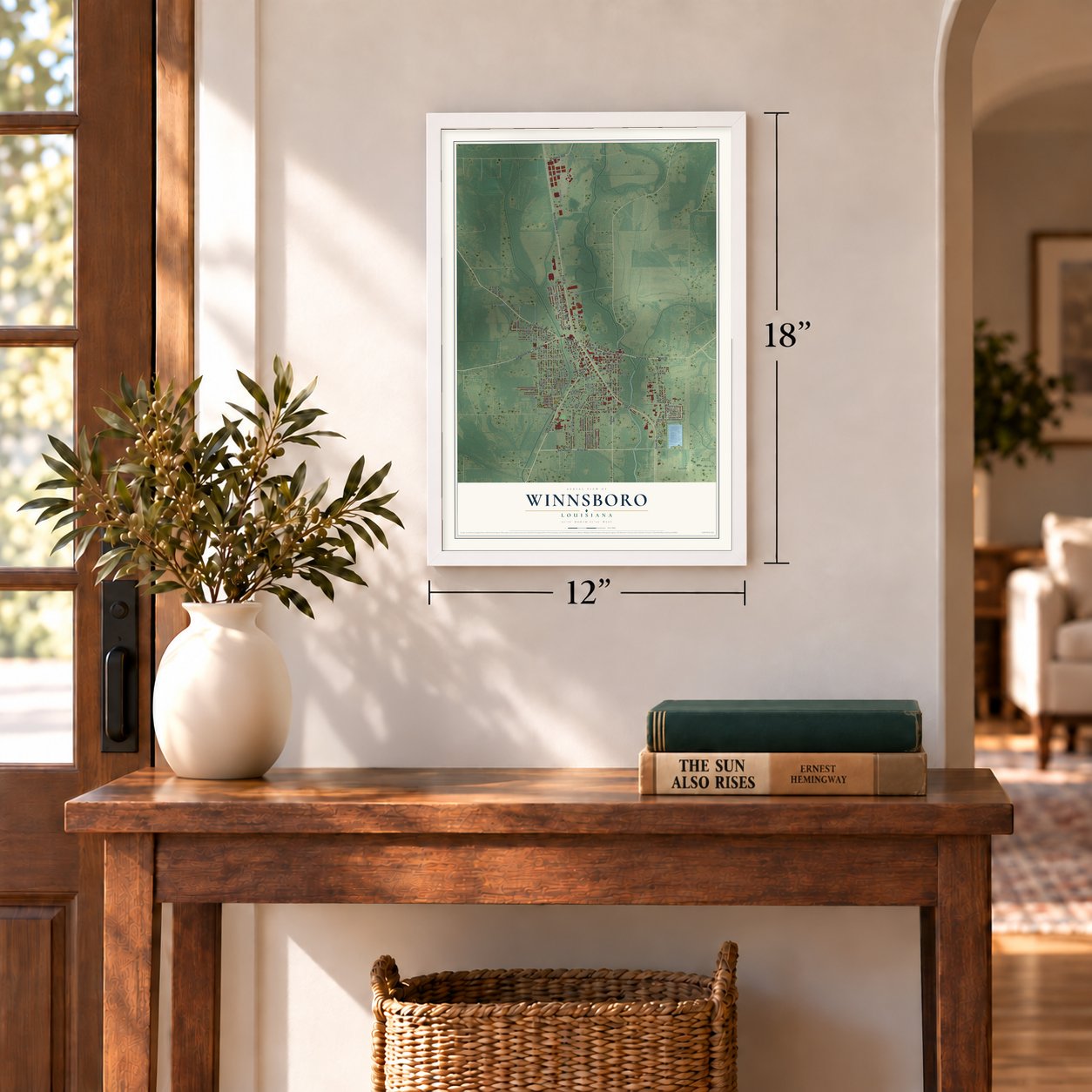
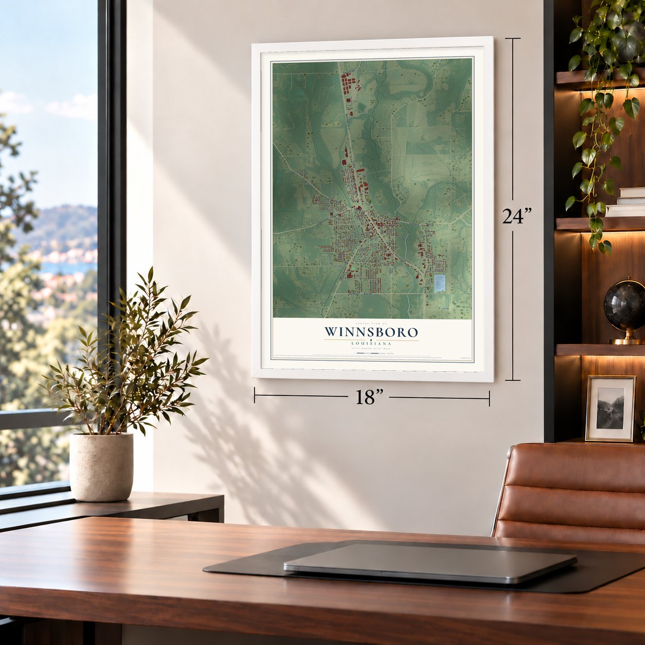
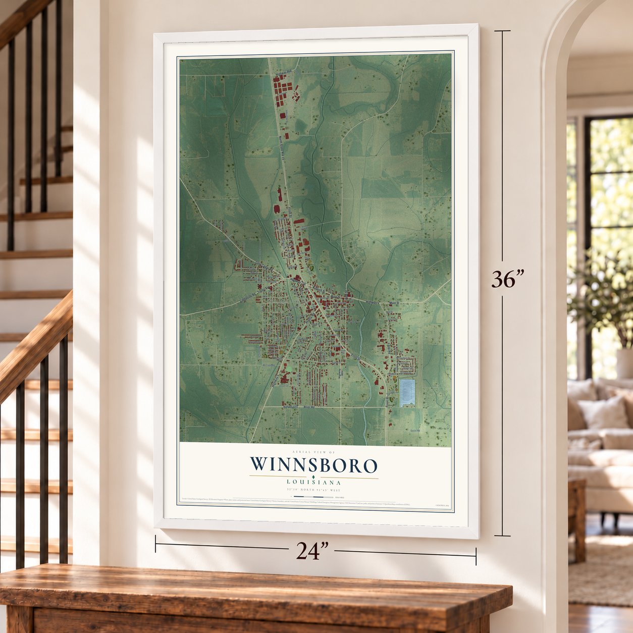
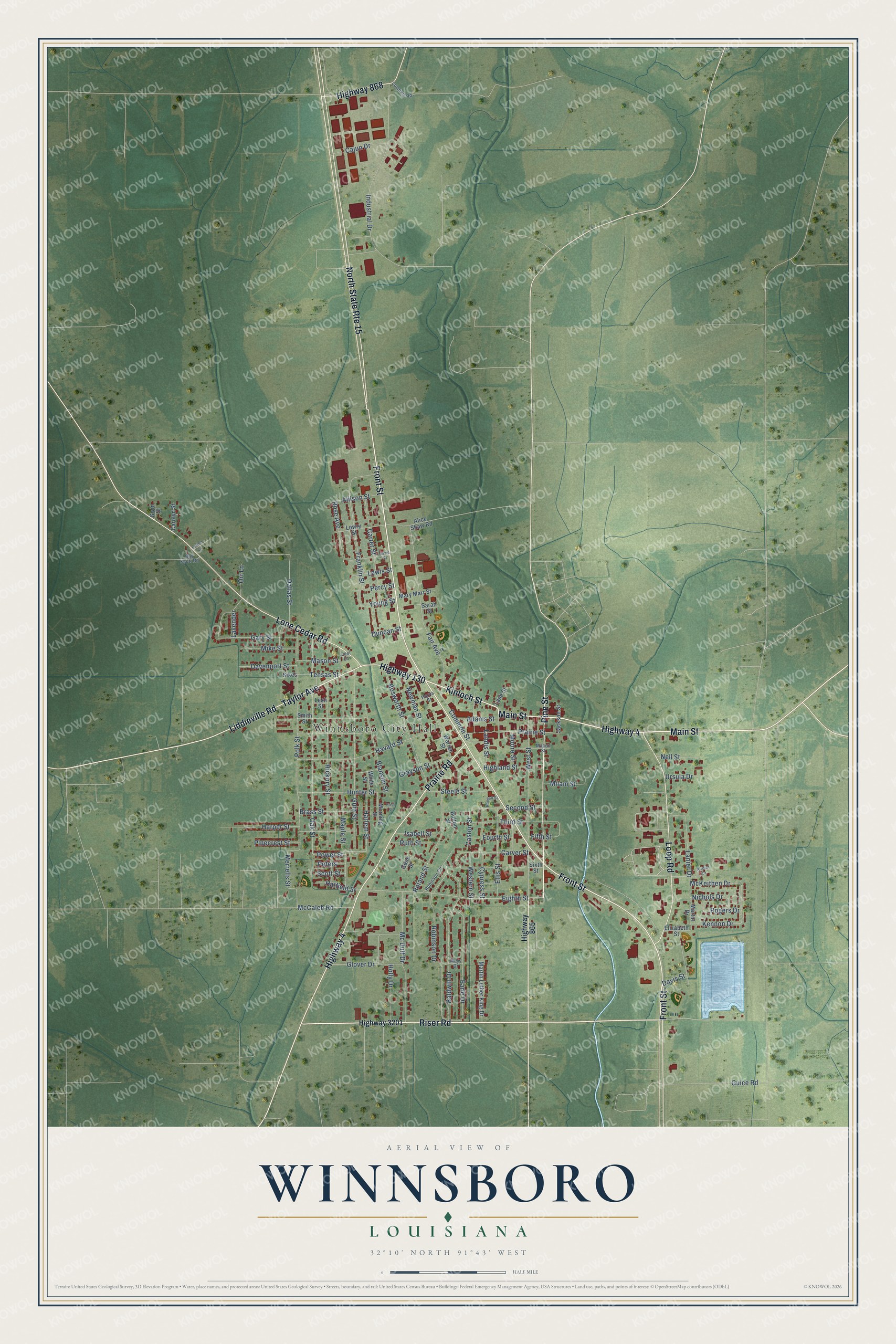
A new map of Winnsboro, Louisiana, made in 2026 and printed to order on thick archival matte paper.
12" x 18" Archival Matte Print
A Map of Home. A Work of Art.
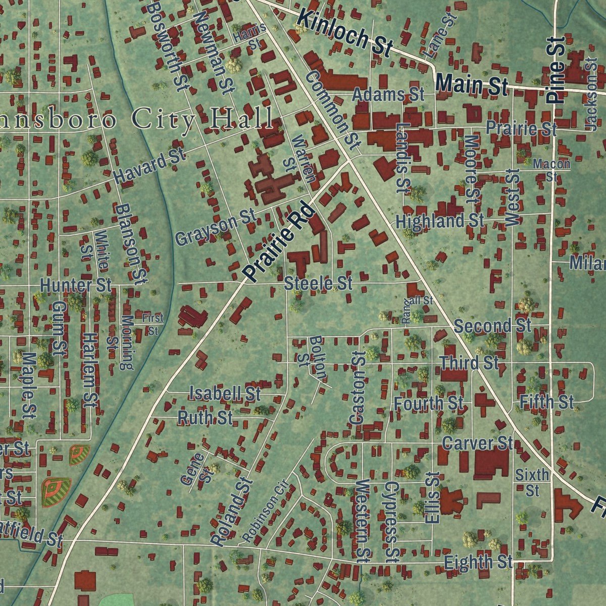
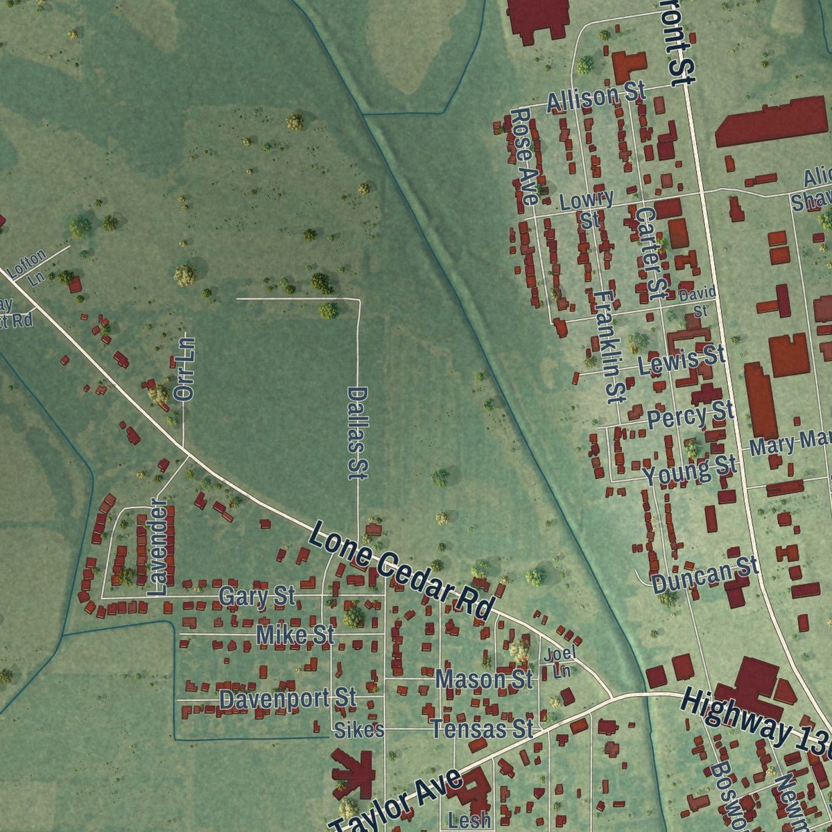
Explore Winnsboro, Louisiana from a whole new perspective. Created using aerial imagery and detailed geographic data, this map captures Winnsboro building by building, with labeled streets, familiar landmarks, and shaded topographical relief that highlights the natural contours of the landscape.
Combining modern data with the timeless character of a vintage atlas, this map is just as interesting up close as it is beautiful on the wall. Whether you grew up in Winnsboro, spent memorable years there, or call it home today, this unique map is a great way to celebrate a place that means something to you. Zoom in on the preview to look for your street, and then order a print to put your memories on the wall.
Three ways to hang it
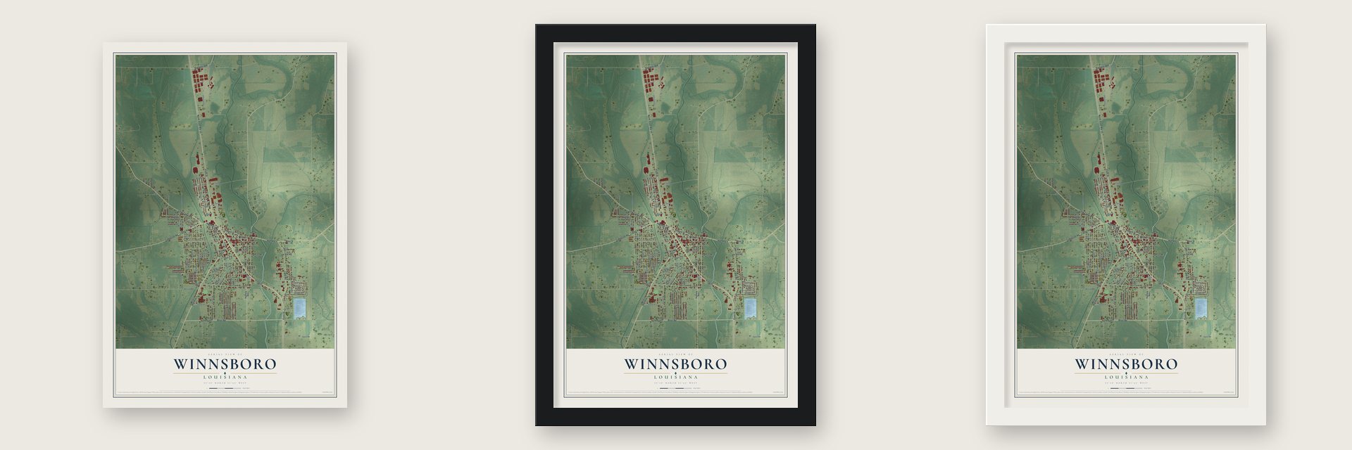
Unframed archival matte, a black wood frame or a white wood frame.
Up close
Geography Worth Displaying
This map was created using accurate cartographic data and authoritative geographic sources, including the U.S. Geological Survey and the Census Bureau. The map brings together terrain, waterways, roads, and building detail. The majority of the streets are labeled, houses are accurately depicted, and the topography is derived from government sources. Combining local data with carefully composed color and shading leads to this beautifully detailed Winnsboro artwork for your wall.
Rather than simply showing street outlines, we’ve included as many of the street names as we could reasonably fit on the map while keeping their names legible. Zoom in on the high resolution preview to see exactly what’s on the map. We truly set out to create a statement piece for anyone who loves Winnsboro. So whether it’s for you, or a gift for someone you love, we hope this map of Winnsboro brings back fond memories.
Read the story behind this map of Winnsboro, Louisiana from 2026.
About Winnsboro, Louisiana
Winnsboro is a city of 4,862 people and the seat of Franklin Parish. Louisiana created the parish on March 1, 1843, from parts of Ouachita, Catahoula and Madison parishes, after state Senator John Winn pushed for it. In 1844 the parish bought land near its center for a seat of government, first spelled Winnsborough, and the town was laid out on property owned by John W. Willis.
Winnsboro was named the parish seat in 1846, and its first courthouse, a one-story frame building, was finished in 1847. A newspaper started in 1860. Later the New Orleans & Northwestern Railroad ran through, and an old parish history counted 821 people in a town with a bank, telegraph office and general stores. Winnsboro was incorporated on March 18, 1902. The first telephones came in 1905, followed by electric power in 1914, and the town gained water lines and sewers in 1923, a year before volunteers formed a fire department in 1924.
“The women, bearing lighted oil lamps, march slowly into the dimly lit sanctuary and encircle the table, singing “When the Saints Go Marching In” at a funereal tempo.”
- The last Easter RockOn the Saturday before Easter, women in white lead a vigil that likely began in Black Baptist plantation churches of northeast Louisiana before the Civil War. Their feet beat a rhythm as they move counterclockwise, and the singing goes back and forth between leader and group. Winnsboro's group is the only one known to keep the ritual alive, and its leader, Hattie Addison Burkhalter, won a National Heritage Fellowship from the National Endowment for the Arts in 2021.
- Found again in 1993Scholar H. F. Gregory described the fading tradition at the 1993 Delta Folklife Field School, and one listener, Anne Staten, went looking for it. Her cousin R. B. Kelly led her to Winnsboro, where Burkhalter was holding the service at the Original True Light Baptist Church. Burkhalter had taken it over from her mother, Ellen Addison, when Ellen's health failed.
- The Princess TheatreThe Princess Theatre opened in 1907. It closed in 1988, then came back in 1994 as a stage for live shows. While the old True Light church needed repairs, the Easter Rock rockers were among those who used it.
- A mural from 1939Winnsboro's post office went up in 1936, and in 1939 the New Deal art program added a mural by Datus Ensign Myers called Logging in Louisiana Swamps. The building now houses the Old Post Office Museum.
Find your street
Names on the Winnsboro map
Every name below is printed on this map. Look for your street, your school, the park where you played, or the pond down the road.
Places and landmarks1
- Winnsboro City Hall
Streets and roads125
- Front Street
- Riser Road
- Kinloch Street
- Highway 4
- Taylor Avenue
- Liddieville Road
- Pine Street
- Prairie Road
- North State Route 15
- Lone Cedar Road
- Loop Road
- Highway 130
- Main Street
- Highway 868
- Davis Street
- Franklin Street
- Percy Street
- Eighth Street
- McKeithen Drive
- Power Street
- Kennon Drive
- Prairie Street
- Rose Avenue
- Guice Road
- Polk Street
- Industrial Drive
- Fair Avenue
- Gum Street
- West Street
- Carter Street
Show all 125 streets
- Maple Street
- Hickory Street
- Oak Street
- Havard Street
- Roland Street
- Harper Street
- Mc Duff Drive
- Baldwin Drive
- Bosworth Street
- Carver Street
- Earle Drive
- Third Street
- Ellis Street
- Second Street
- Gary Street
- Steele Street
- Blanson Street
- Cypress Street
- Lanier Drive
- Hunter Street
- Cajun Drive
- McCaleb Road
- Glover Drive
- Robinson Drive
- Common Street
- Newman Street
- Highland Street
- Merrells Street
- Harlem Street
- Dallas Street
- Holly Drive
- Davenport Street
- Mike Street
- Brass Street
- Grayson Street
- Rogers Drive
- Nichols Drive
- Milam Street
- Hatfield Street
- Landis Street
- Ruth Street
- Adams Street
- Fifth Street
- Allison Street
- Isabell Street
- Western Street
- Pinecrest Street
- Tensas Street
- Nell Street
- Mason Street
- Lavender
- Lewis Street
- Young Street
- Ursula Drive
- Duncan Street
- Moore Street
- Caston Street
- Orr Lane
- Fourth Street
- Scott Street
- Peters
- Highway 3201
- Highway 865
- Gwin Street
- Martin Drive
- Warren Street
- Smith Street
- Martin Luther King Drive
- Lowry Street
- Sikes
- Mary Marr Street
- Jackson Street
- Bolton Street
- Elizabeth Street
- Morning Street
- Alice Shaw Road
- Carolyn Street
- Lane Street
- White Street
- Gene Street
- Sarah Street
- Lesh Street
- Sixth Street
- Robinson Circle
- Harris Street
- Macon Street
- Lumpkin Road
- Ray Scott Road
- Mays Drive
- Joel Lane
- Airport Drive
- David Street
- Randall Street
- First Street
- Lofton Lane
Names are listed as they appear on the printed map. Zoom into the product photos to find them.
The art of mapping a place
How This Map Was Made
Real places. Remarkable detail. Discover the layers that turn geographic data into a map of home.

The view from above
Aerial imagery reveals the character of the land: woodland, open fields, and the patterns of a place.

The shape of the land
Elevation data brings hills, valleys, and subtle changes in the landscape into view.

The details of home
Roads, waterways, and building footprints come together to make the map feel unmistakably local.

Geography becomes art
Considered color, shading, and typography bring the layers together in a map made for your wall.


Process illustrated with Mendon, Massachusetts. Aerial imagery: USDA NAIP. Terrain: USGS 3D Elevation Program. Map details and finished artwork: KNOWOL.
The Details
About This Print
Choose an archival matte print, or a black or white Ayous wood frame. The archival matte print is unframed.
Select your size and finish above to see the matching product image and price.
Materials & Craftsmanship
A contemporary map with the character of a classic atlas, printed on archival matte paper. Optional frames are made from Ayous wood.
Your printed map does not include the watermark shown in the full-map preview.
Shipping & Delivery
Free shipping within the United States. Every print is made to order in the USA.
Buying a gift? Add a note in your cart and we'll include it. We never put prices in the package.
Prints ship within 2 to 3 business days. Allow 7 to 10 days total from ordering for delivery. Timing may vary during holidays or periods of high order volume.
Read our shipping policy.
Returns and damaged prints
Each print is made to order. Change-of-mind refunds are not available after production.
If your print arrives damaged, misprinted or incorrect, contact support@knowol.com within 30 days of receiving it. Include your order number, photos and a description of the issue.
Read our full refund and replacement policy. For questions about your order, email support@knowol.com.
Find your town
Looking for another city?
Find a map of home in our Louisiana collection, or any town in the country.
Nearby
Maps of towns near Winnsboro
Know someone from one of these towns? Their map makes a great gift.
 Baskin
, Louisiana
From $39.99See the map
 Gilbert
, Louisiana
From $39.99See the map
 Mangham
, Louisiana
From $39.99See the map
More maps nearby: Wisner, Columbia, Rayville, Sicily Island and Banks Springs.