
Search for another town




Free U.S. delivery 7 to 10 days after you order
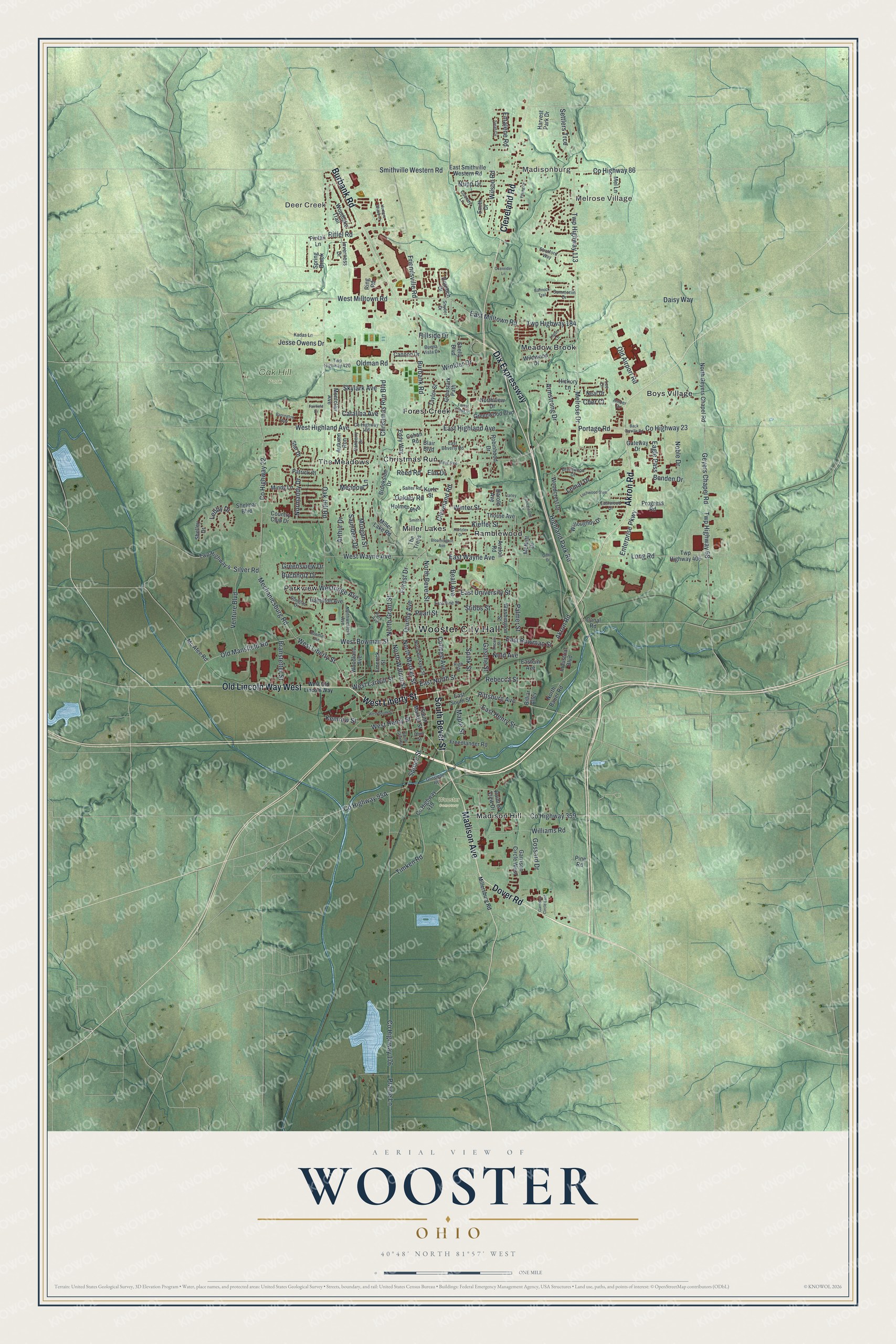
Wooster, Ohio Map Art
A new map of Wooster, Ohio, made in 2026 and printed to order on thick archival matte paper.
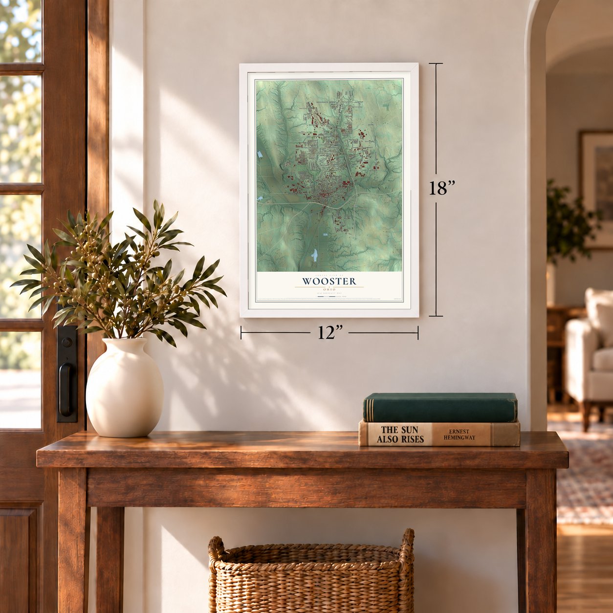
12" x 18" Archival Matte Print
A Map of Home. A Work of Art.
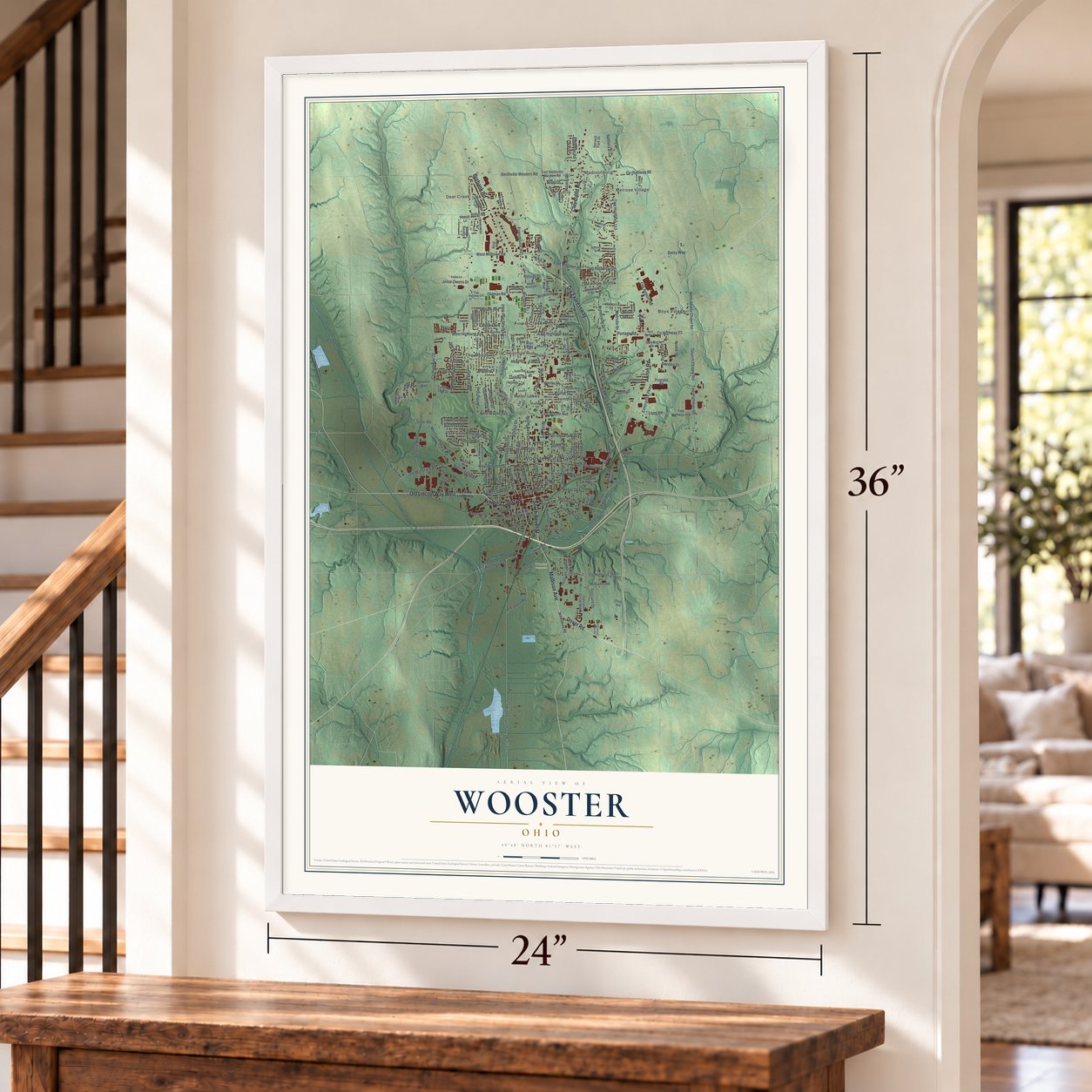
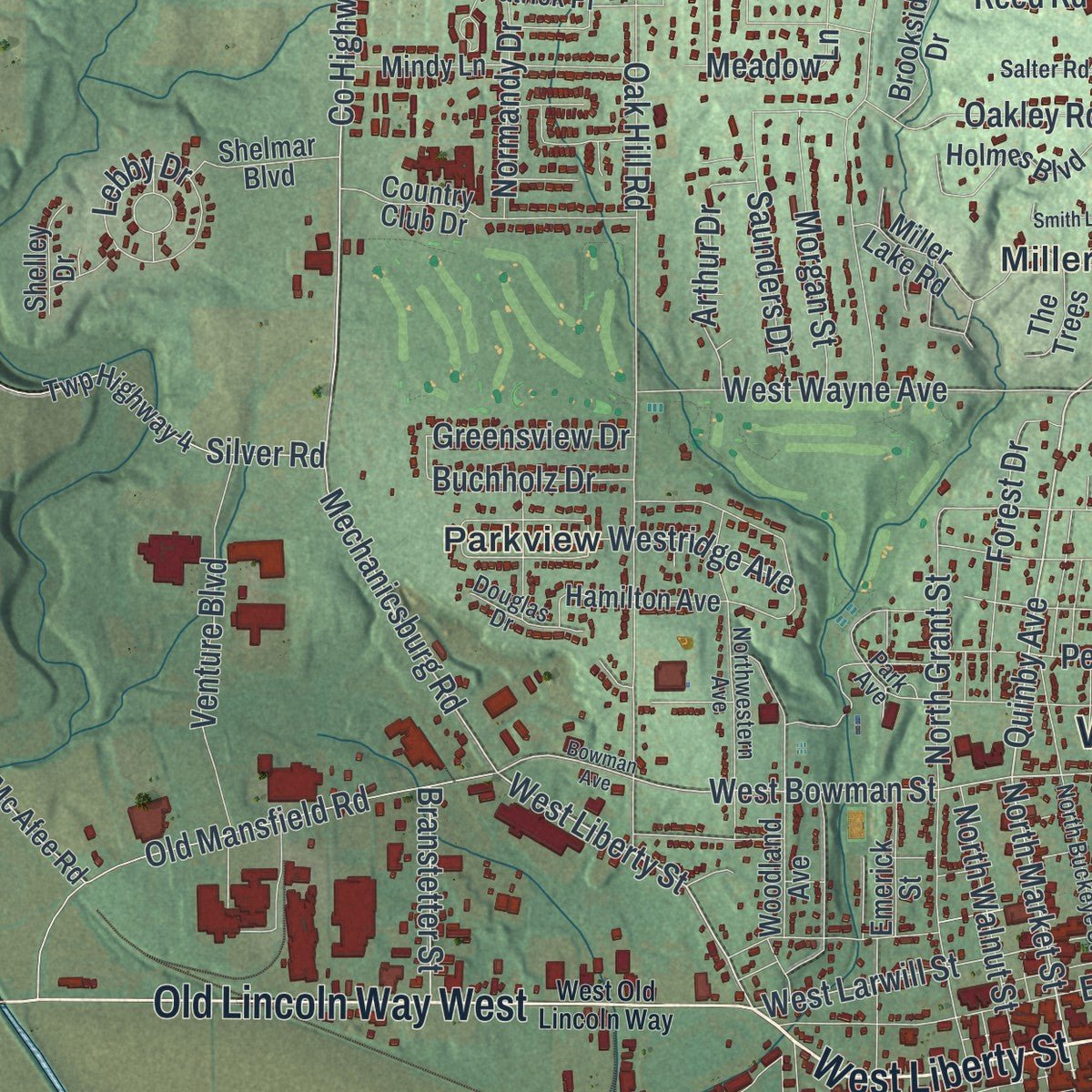
Explore Wooster, Ohio from a whole new perspective. Created using aerial imagery and detailed geographic data, this map captures Wooster building by building, with labeled streets, familiar landmarks, and shaded topographical relief that highlights the natural contours of the landscape.
Combining modern data with the timeless character of a vintage atlas, this map is just as interesting up close as it is beautiful on the wall. Whether you grew up in Wooster, spent memorable years there, or call it home today, this unique map is a great way to celebrate a place that means something to you. Zoom in on the preview to look for your street, and then order a print to put your memories on the wall.
Three ways to hang it
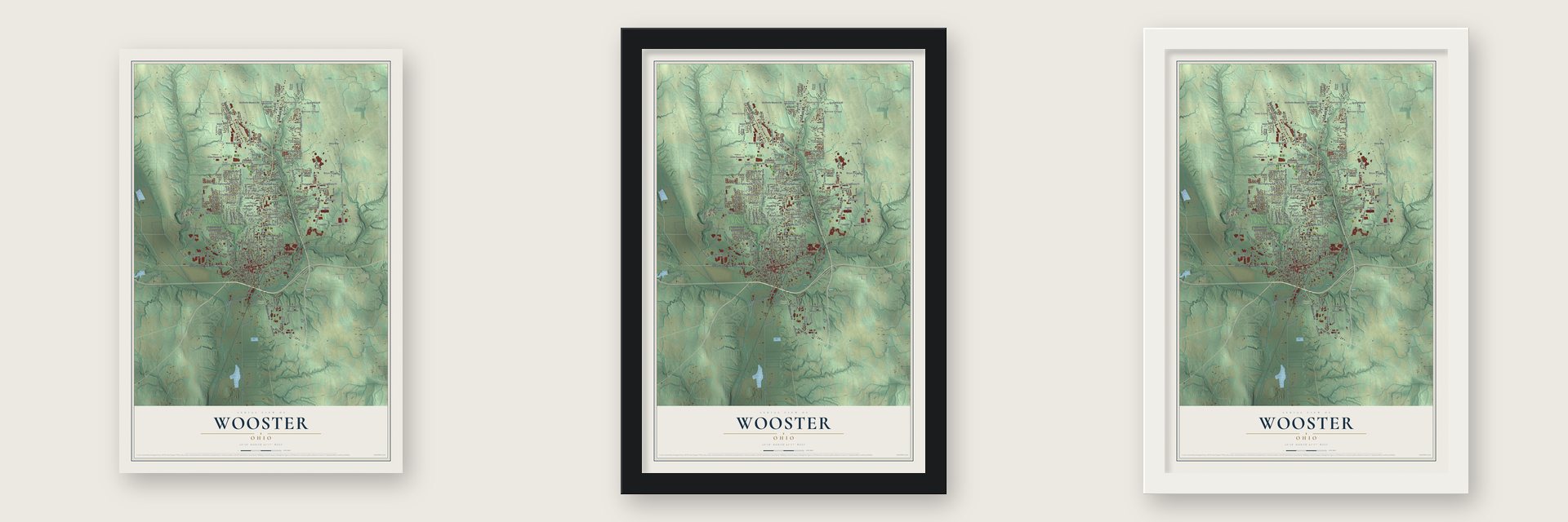
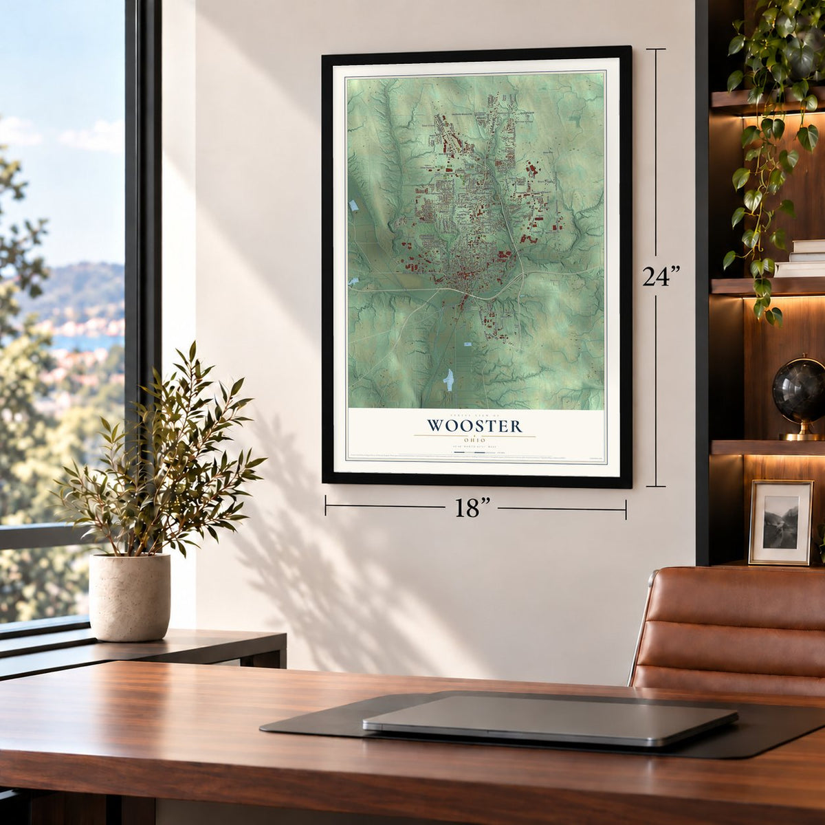
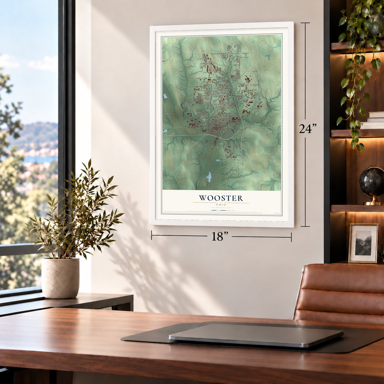
Unframed archival matte, a black wood frame or a white wood frame.
Up close
Geography Worth Displaying
This map was created using accurate cartographic data and authoritative geographic sources, including the U.S. Geological Survey and the Census Bureau. The map brings together terrain, waterways, roads, and building detail. The majority of the streets are labeled, houses are accurately depicted, and the topography is derived from government sources. Combining local data with carefully composed color and shading leads to this beautifully detailed Wooster artwork for your wall.
Rather than simply showing street outlines, we’ve included as many of the street names as we could reasonably fit on the map while keeping their names legible. Zoom in on the high resolution preview to see exactly what’s on the map. We truly set out to create a statement piece for anyone who loves Wooster. So whether it’s for you, or a gift for someone you love, we hope this map of Wooster brings back fond memories.

About Wooster, Ohio
Wooster is the county seat and largest city in Wayne County, with 27,232 residents recorded in the 2020 census. Established in 1808, it was named for Revolutionary War general David Wooster. Its neighborhoods occupy a long valley ringed by hills, with Christmas Run and Forest Creek through the middle.
- Charles FollisWooster High School athlete Charles Follis signed with the Shelby Athletic Club in 1904 and is recognized by an Ohio marker as the first African American professional football player.
- College and ResearchWooster is home to the College of Wooster and Ohio State University's Agricultural Technical Institute and Ohio Agricultural Research and Development Center.
- Woodland TrailsWooster Memorial Park contains seven miles of trails crossing woods, ravines, and open fields along Rathburn Run.
Find your street
Names on the Wooster map
Every name below is printed on this map. Look for your street, your school, the park where you played, or the pond down the road.
Places and landmarks15
- Wooster City Hall
- Madisonburg
- Melrose Village
- Deer Creek
- Oak Hill Park
- Wooster Cemetery
- Boys Village
- Christmas Run
- Forest Creek
- Madison Hill
- Meadow Brook
- Miller Lakes
Show all 15 places
- Parkview
- Ramblewood
- The Meadows
Streets and roads213
- West Liberty Street
- South Bever Street
- Madison Avenue
- Dover Road
- Cleveland Road
- Old Lincoln Way West
- Dix Expressway
- Akron Road
- Burbank Road
- Pittsburg Avenue
- North Market Street
- Spruce Street
- North Bever Street
- Quinby Avenue
- East Bowman Street
- Mechanicsburg Road
- West Bowman Street
- West Larwill Street
- Twp Highway 113
- County Highway 23
- Williams Road
- Portage Road
- Melrose Drive
- North Grant Street
- Emalene Road
- East North Street
- Westridge Avenue
- Smithville Western Road
- Wilson Road
- Oak Hill Road
Show all 213 streets
- County Highway 86
- Twp Highway 68
- Geyers Chapel Road
- Twp Highway 184
- County Highway 176
- Prairie Lane
- Beall Avenue
- East Wayne Avenue
- Christmas Run Boulevard
- Gasche Street
- County Highway 22
- Friendsville Road
- East Milltown Road
- West Highland Avenue
- Highland Park Road
- Palmer Street
- Long Road
- Timken Road
- East Highland Avenue
- Old Mansfield Road
- West Milltown Road
- County Highway 359
- East Henry Street
- Daisy Way
- Riffel Road
- East University Street
- Oldman Road
- Gossard Drive
- West Wayne Avenue
- Spink Street
- Nold Avenue
- Kieffer Street
- Armstrong Drive
- Old Airport Road
- Venture Boulevard
- Normandy Drive
- College Avenue
- Benden Drive
- Oakley Road
- Lebby Drive
- Silver Road
- Forest Drive
- West Henry Street
- Winkler Drive
- Meadow Lane
- Stibbs Street
- Winter Street
- Morgan Street
- Saunders Drive
- North Walnut Street
- Nupp Drive
- Eagle Pass
- Enterprise Parkway
- Arthur Drive
- Skylark Avenue
- Greensview Drive
- Noble Drive
- Rebecca Street
- Settlers Trce
- Lemar Drive
- Jesse Owens Drive
- Branstetter Street
- Pearl Street
- Buchholz Drive
- Catalina Avenue
- Kemrow Street
- Maple Street
- Reed Road
- Hillside Drive
- Cher Court
- Elm Drive
- South Market Street
- East Smithville Western Road
- North Geyers Chapel Road
- County Highway 419
- Wildwood Drive
- Graustark Path
- Twp Highway 4
- Washington Street
- Miller Lake Road
- Woodland Avenue
- Country Club Drive
- Mindy Lane
- East South Street
- Taylor Street
- Autumn Run
- Willoughby Drive
- Blair Boulevard
- Brookside Drive
- Woodcrest Drive
- North Bauer Road
- Greenwood Boulevard
- Dornoch Drive
- Eddy Way
- Freedlander Road
- Patrick Place
- Hickory Lane
- Smith Drive
- Hamilton Avenue
- Montclair Avenue
- Twp Highway 406
- Woodlake Trail
- Holmes Boulevard
- Mel Lane
- Cannon Drive
- Garrison Circle West
- Robinhood Drive
- Canal Road
- Industrial Boulevard
- Pintail Lane
- Progress Road
- Emerick Street
- Mc Afee Road
- Thorne Avenue
- Harvest Park Drive
- Shelmar Boulevard
- Shelly Boulevard
- Spring Brook
- Eastern Avenue
- Gateway Drive
- McNutt Drive
- Inverness Drive
- Northview Drive
- Neal Drive
- Point of View Drive
- Shelley Drive
- The Trees
- Kurtz Street
- Avalon Road
- Cohan Road
- Star Drive
- Ring Road
- Billiar Alley
- Harold Avenue
- Pine Road
- Park Avenue
- County Highway 106
- North Buckeye Street
- Twp Highway 420
- Northwestern Avenue
- East Pine Street
- East Beverly Road
- Danberry Drive
- Kadas Lane
- Brentwood Drive
- Ihrig Avenue
- Grosjean Road
- Buena Vista Drive
- High Street
- Eastwood Drive
- Country Lane
- Douglas Drive
- Summerlin Drive
- Snyder Drive
- Salter Road
- Stratford Way
- Lee Drive
- Amber Drive
- Ohio Street
- West Old Lincoln Way
- Millersburg Road
- Bowman Avenue
- Back Orrville Road
- Lincoln Street
- West South Street
- South Grant Street
- Forest Creek Drive
- Garrison Circle East
- Young Drive
- Logan Lane
- Hunters Chase Lane
- Barrington Way
- Lochwood Glen
- Hartzler Drive
- Bloomington Avenue
- Sandalwood Drive
- Oxenrider Lane
- Smith Lane
- Bannock Trail
- Sarah Circle
- Fairfield Drive
- Carley Court
- Diller Drive
Names are listed as they appear on the printed map. Zoom into the product photos to find them.
The art of mapping a place
How This Map Was Made
Real places. Remarkable detail. Discover the layers that turn geographic data into a map of home.

The view from above
Aerial imagery reveals the character of the land: woodland, open fields, and the patterns of a place.

The shape of the land
Elevation data brings hills, valleys, and subtle changes in the landscape into view.

The details of home
Roads, waterways, and building footprints come together to make the map feel unmistakably local.

Geography becomes art
Considered color, shading, and typography bring the layers together in a map made for your wall.


Process illustrated with Mendon, Massachusetts. Aerial imagery: USDA NAIP. Terrain: USGS 3D Elevation Program. Map details and finished artwork: KNOWOL.
The Details
About This Print
Choose an archival matte print, or a black or white Ayous wood frame. The archival matte print is unframed.
Select your size and finish above to see the matching product image and price.
Materials & Craftsmanship
A contemporary map with the character of a classic atlas, printed on archival matte paper. Optional frames are made from Ayous wood.
Your printed map does not include the watermark shown in the full-map preview.
Shipping & Delivery
Free shipping within the United States. Every print is made to order in the USA.
Buying a gift? Add a note in your cart and we'll include it. We never put prices in the package.
Prints ship within 2 to 3 business days. Allow 7 to 10 days total from ordering for delivery. Timing may vary during holidays or periods of high order volume.
Read our shipping policy.
Returns and damaged prints
Each print is made to order. Change-of-mind refunds are not available after production.
If your print arrives damaged, misprinted or incorrect, contact support@knowol.com within 30 days of receiving it. Include your order number, photos and a description of the issue.
Read our full refund and replacement policy. For questions about your order, email support@knowol.com.
Find your town
Looking for another city?
Find a map of home in our Ohio collection, or any town in the country.
Nearby
Maps of towns near Wooster
Know someone from one of these towns? Their map makes a great gift.
 Smithville
, Ohio
From $39.99See the map
 Apple Creek
, Ohio
From $39.99See the map
 Orrville
, Ohio
From $39.99See the map
More maps nearby: New Pittsburg, Congress, Fredericksburg, Shreve and Kidron.