
Search for another town


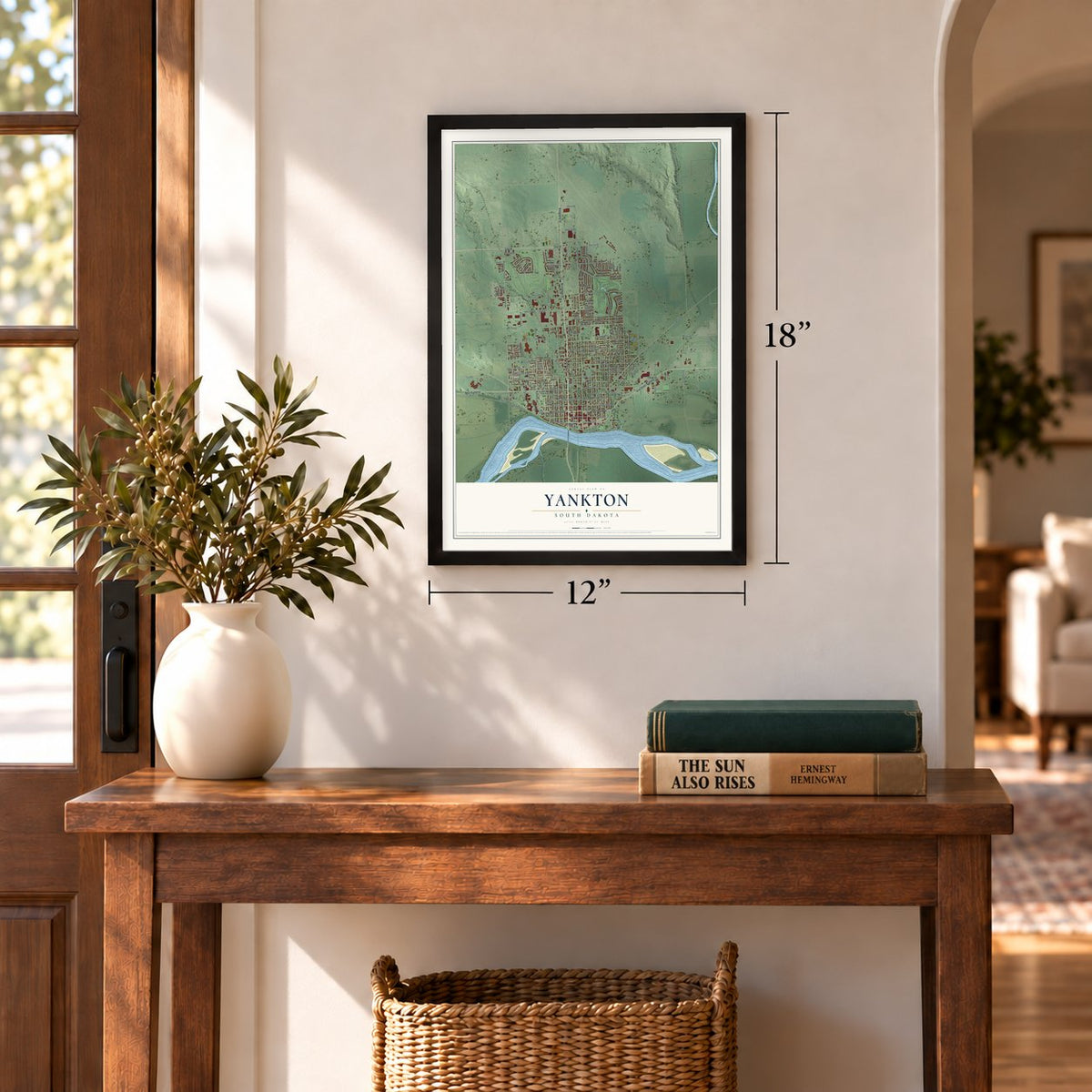
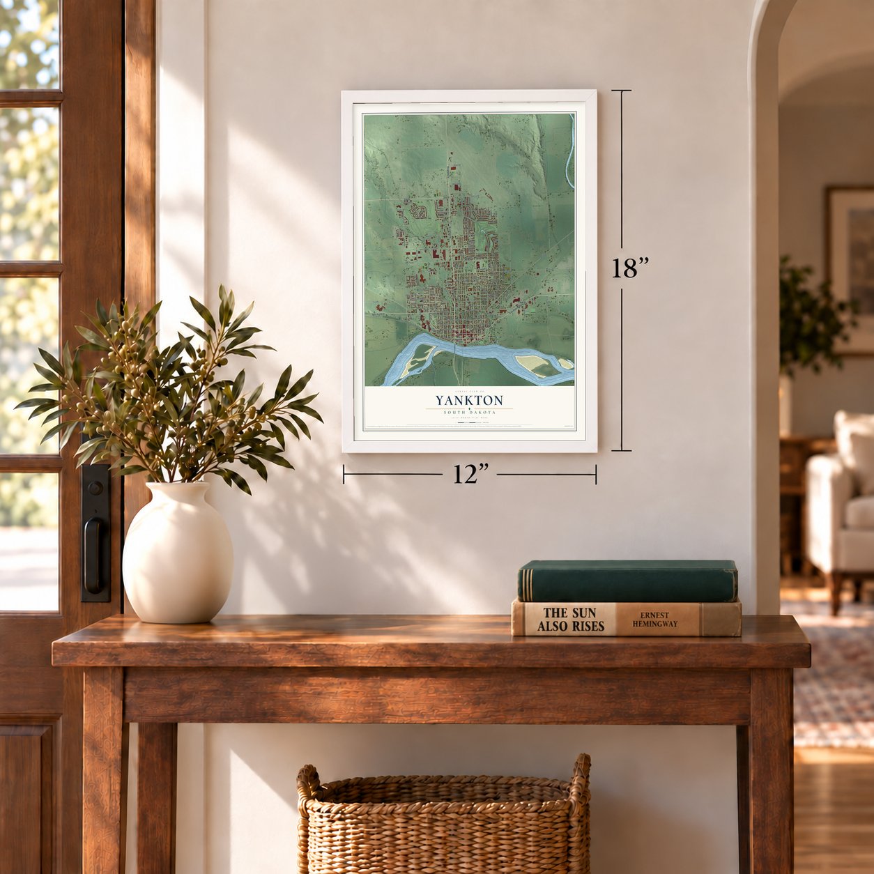

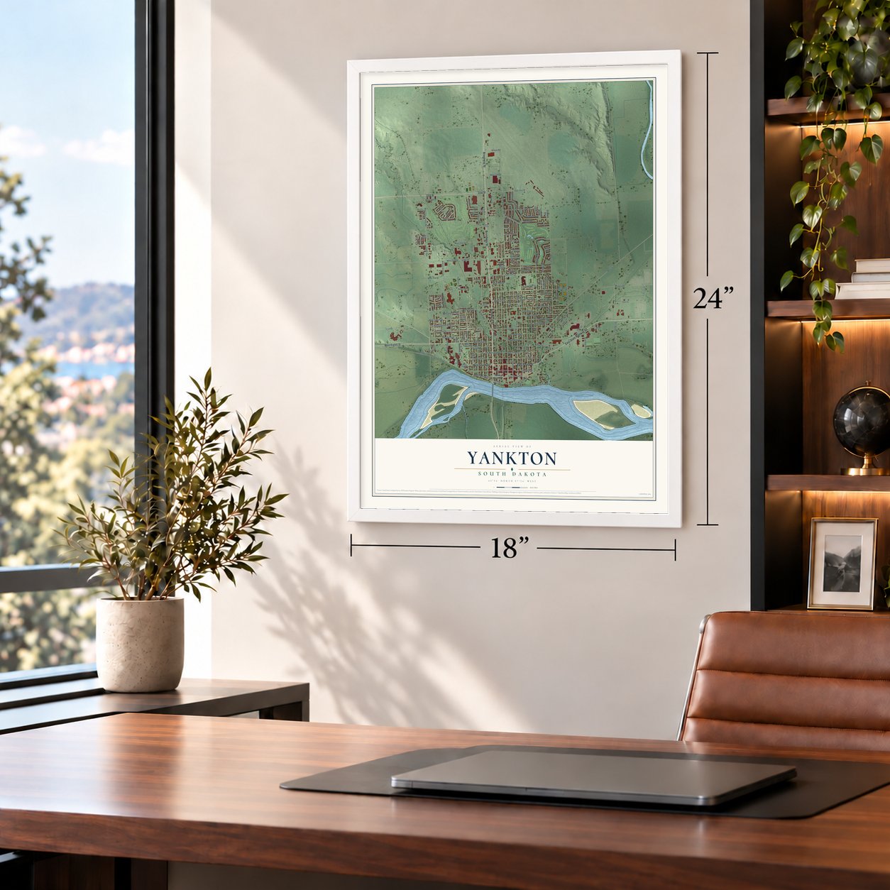


Free U.S. delivery 7 to 10 days after you order
Yankton, South Dakota Map Art
A new map of Yankton, South Dakota, made in 2026 and printed to order on thick archival matte paper.
12" x 18" Archival Matte Print
A Map of Home. A Work of Art.
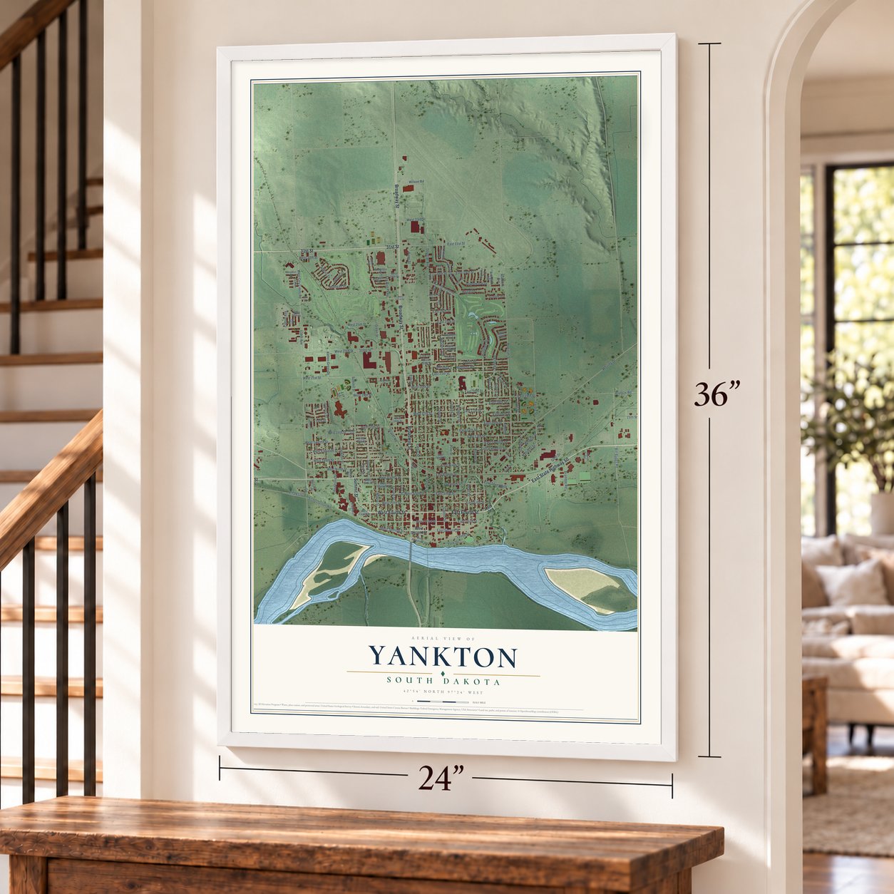
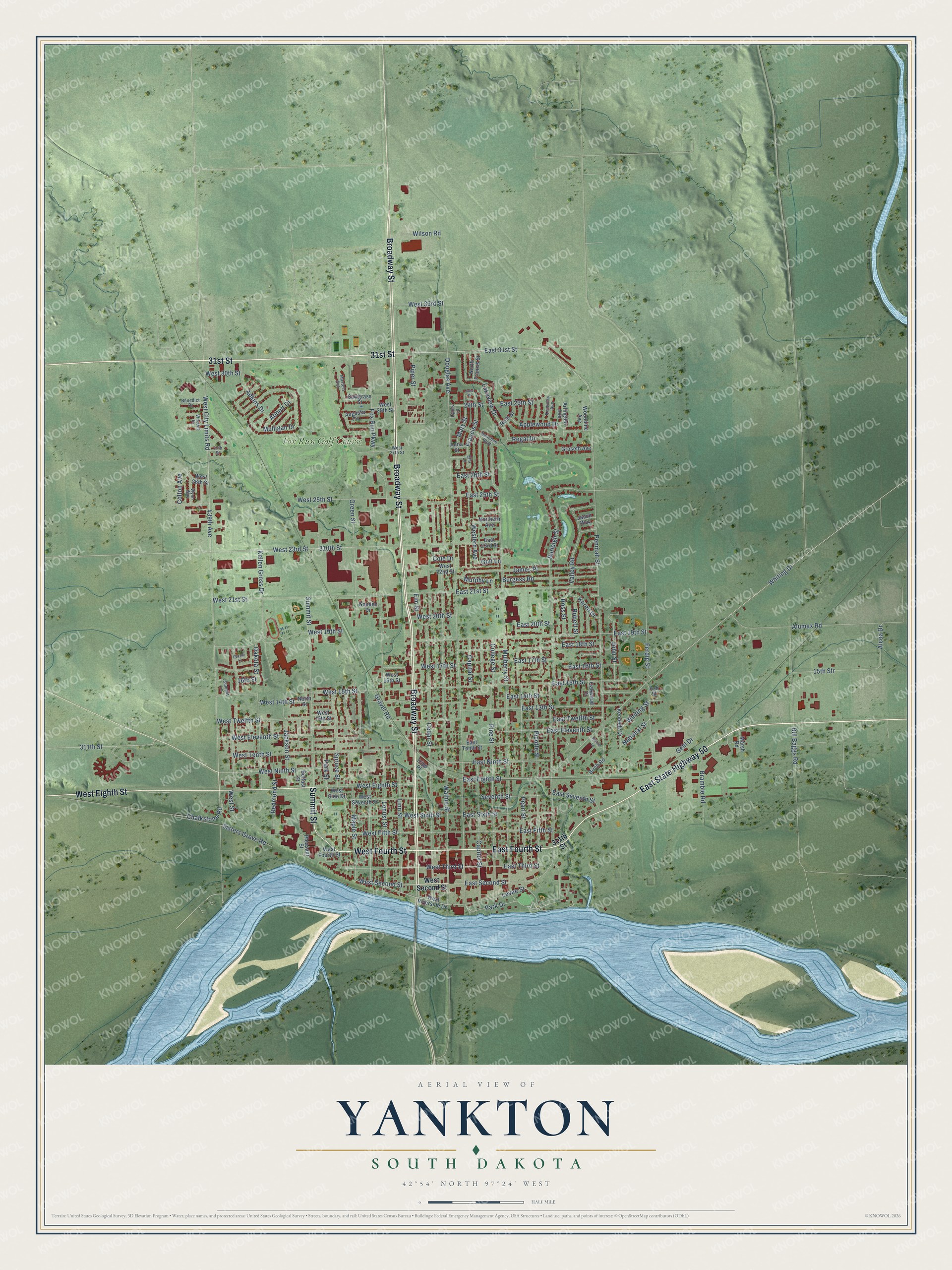
Explore Yankton, South Dakota from a whole new perspective. Created using aerial imagery and detailed geographic data, this map captures Yankton building by building, with labeled streets, familiar landmarks, and shaded topographical relief that highlights the natural contours of the landscape.
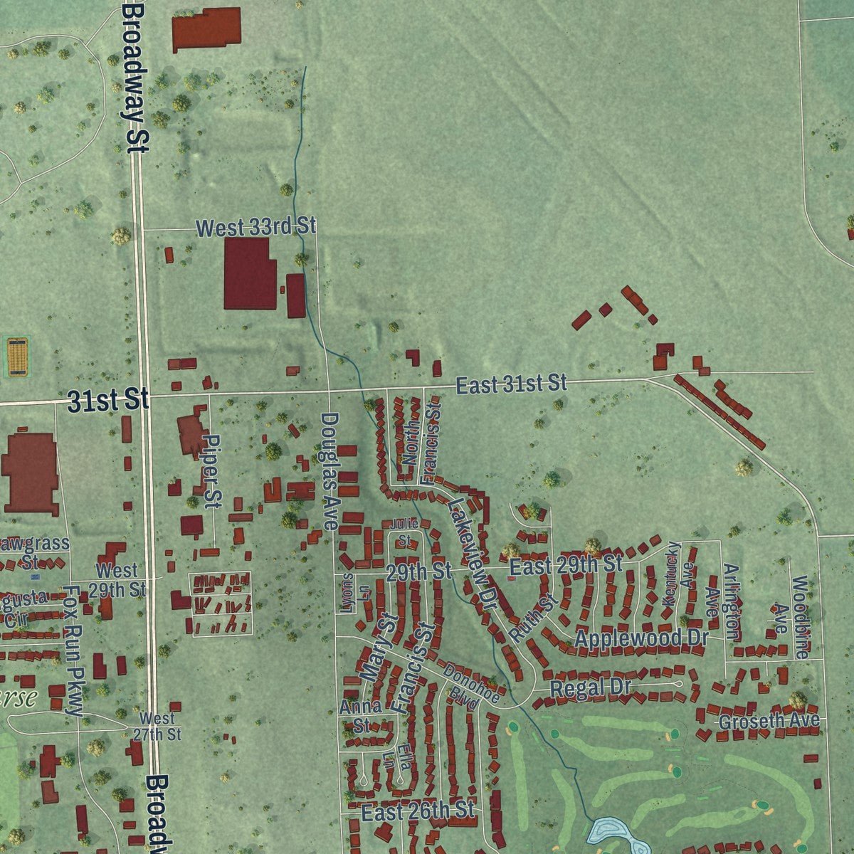
Combining modern data with the timeless character of a vintage atlas, this map is just as interesting up close as it is beautiful on the wall. Whether you grew up in Yankton, spent memorable years there, or call it home today, this unique map is a great way to celebrate a place that means something to you. Zoom in on the preview to look for your street, and then order a print to put your memories on the wall.
Three ways to hang it
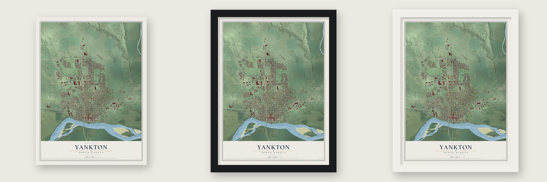
Unframed archival matte, a black wood frame or a white wood frame.
Up close
Geography Worth Displaying
This map was created using accurate cartographic data and authoritative geographic sources, including the U.S. Geological Survey and the Census Bureau. The map brings together terrain, waterways, roads, and building detail. The majority of the streets are labeled, houses are accurately depicted, and the topography is derived from government sources. Combining local data with carefully composed color and shading leads to this beautifully detailed Yankton artwork for your wall.
Rather than simply showing street outlines, we’ve included as many of the street names as we could reasonably fit on the map while keeping their names legible. Zoom in on the high resolution preview to see exactly what’s on the map. We truly set out to create a statement piece for anyone who loves Yankton. So whether it’s for you, or a gift for someone you love, we hope this map of Yankton brings back fond memories.
Read the story behind this map of Yankton, South Dakota from 2026.

About Yankton, South Dakota
Yankton is a city of 15,411 people and the county seat of Yankton County, on the Missouri River across from Nebraska. Lewis and Clark met with Yankton Sioux leaders at Calumet Bluff on August 30, 1804, and a Yankton Sioux village still stood on this ground in 1857. The Yankton Treaty of 1858 opened the land to settlers, who built the town where Rhine Creek runs into the Missouri.
On March 2, 1861, President James Buchanan signed the law that created Dakota Territory, and Yankton became its capital. President Abraham Lincoln picked his own doctor, William A. Jayne, a man from Springfield, Illinois, to serve as the territory's first governor. The government met in a plain wooden building of two stories at Fourth and Capitol Streets. Yankton kept the capital until June 2, 1883, when Governor Nehemiah G. Ordway moved it to Bismarck. That early role earned the city its nickname, Mother City of the Dakotas.
- Steamboats and the 1881 floodThe first steamboat from St. Louis reached Yankton in 1859, and boats could land along the whole riverfront. Traffic boomed after gold turned up in the Black Hills in 1874. Then on March 27, 1881, an ice dam on the Missouri gave way, and by March 29 water, ice and rock covered downtown, wrecking or stranding several boats. With railroads, here since 1872, taking more of the freight, the river trade faded.
- Wild Bill's killer tried hereIn Deadwood on August 2, 1876, Jack McCall shot and killed Wild Bill Hickok. Because Yankton was the territorial capital, McCall was tried here. The jury convicted him, and he went to the gallows on March 1, 1877, at age 24. He lies in a Yankton cemetery.
- The stockade of 1862When the Dakota War of 1862 broke out in Minnesota, Governor Jayne ordered every man from 18 to 50 in eastern Dakota into a militia on August 30, 1862. Yankton's militia built a stockade of about 200,000 square feet at Third Street and Broadway, and settlers from as far as Sioux Falls crowded inside. Bands came near for several weeks but never attacked, and the stockade was later torn down. A marker stands at the site.
- Yankton College, 1881 to 1983The Reverend Joseph Ward urged the Congregational churches to found the first private college in Dakota, and in August 1881 it was incorporated as Yankton College. Classes began in October 1882, and the school served the city for over 100 years until money troubles closed it in 1983. The Federal Bureau of Prisons later bought the campus for a minimum security prison camp.
Find your street
Names on the Yankton map
Every name below is printed on this map. Look for your street, your school, the park where you played, or the pond down the road.
Places and landmarks1
- Fox Run Golf Course
Streets and roads160
- East State Highway 50
- 31st Street
- East Fourth Street
- Broadway Street
- West Fourth Street
- Summit Street
- West Eighth Street
- East 31st Street
- West Second Street
- Peninah Street
- East Second Street
- West Fifth Street
- Park Drive
- Chalkstone Road
- West City Limits Road
- West 23rd Street
- Western Avenue
- Ferdig Street
- Lakeview Drive
- Abbott Drive
- Douglas Avenue
- Mulberry Street
- Burleigh Street
- Walnut Street
- Cedar Street
- Whiting Drive
- West Eleventh Street
- Pine Street
- Green Street
- Pearl Street
Show all 160 streets
- Locust Street
- West 21st Street
- Spruce Street
- East Eighth Street
- West Twelfth Street
- Picotte Street
- West Street
- West Tenth Street
- West 25th Street
- East 19th Street
- West 15th Street
- East 15th Street
- Maple Street
- West 19th Street
- 439th Avenue
- West Ninth Street
- 310th Street
- Levee Street
- Bill Baggs Road
- Fox Run Parkway
- James Place
- Linn Street
- East 21st Street
- West Third Street
- East Twelfth Street
- Mulligan Drive
- Capitol Street
- East 16th Street
- Dakota Street
- Valley Road
- East 18th Street
- Kellen Gross Drive
- East 17th Street
- West 17th Street
- Francis Street
- West Sixth Street
- East Eleventh Street
- Alumax Road
- East 13th Street
- Burgess Road
- East Sixth Street
- East Fifth Street
- East Ninth Street
- 15th Str
- Jackson Street
- Bramble Road
- East Third Street
- 311th Street
- Mary Street
- Applewood Drive
- Redmond Street
- East 14th Street
- West 14th Street
- Gravel Road
- Seventh Street
- East 29th Street
- Capital Street
- West 20th Street
- Adkins Drive
- John Street
- Sisters Grove Road
- East Seventh Street
- Whiting Street
- Park Street
- Wilson Road
- West 33rd Street
- Regal Drive
- East 25th Street
- College Street
- National Street
- Piper Street
- Alcoa Drive
- Gehl Drive
- East 26th Street
- 29th Street
- Murphy Lane
- Karen Drive
- Robert Street
- Elm Street
- West 30th Street
- Ross Street
- Colton Avenue
- East 20th Street
- Golf Lane
- Cole Drive
- 16th Street
- West Riverside Drive
- East Tenth Street
- West Seventh Street
- Augusta Circle
- North Street
- East 23rd Street
- Arlington Avenue
- Ruth Street
- Kennedy Drive
- Oakwood Drive
- Belfast Street
- Groseth Avenue
- West Side Drive
- Woodbine Avenue
- West 26th Street
- West 16th Street
- North Francis Street
- Sawgrass Street
- West 29th Street
- Northern Avenue
- Pleasant Street
- West 22nd Street
- West 13th Street
- Goeden Drive
- Birch Road
- Marsh Road
- Tripp Place
- Jason Way
- Anna Street
- Ash Street
- West 27th Street
- Donohoe Boulevard
- Kentucky Avenue
- Wynn Way
- Benedict Drive
- Masters Avenue
- Summit Lane
- Lyons Lane
- Vincent Drive
- Ella Lane
- 27th Street
- Julie Street
- Peyton Lane
- Willow Lane
Names are listed as they appear on the printed map. Zoom into the product photos to find them.
The art of mapping a place
How This Map Was Made
Real places. Remarkable detail. Discover the layers that turn geographic data into a map of home.

The view from above
Aerial imagery reveals the character of the land: woodland, open fields, and the patterns of a place.

The shape of the land
Elevation data brings hills, valleys, and subtle changes in the landscape into view.

The details of home
Roads, waterways, and building footprints come together to make the map feel unmistakably local.

Geography becomes art
Considered color, shading, and typography bring the layers together in a map made for your wall.


Process illustrated with Mendon, Massachusetts. Aerial imagery: USDA NAIP. Terrain: USGS 3D Elevation Program. Map details and finished artwork: KNOWOL.
The Details
About This Print
Choose an archival matte print, or a black or white Ayous wood frame. The archival matte print is unframed.
Select your size and finish above to see the matching product image and price.
Materials & Craftsmanship
A contemporary map with the character of a classic atlas, printed on archival matte paper. Optional frames are made from Ayous wood.
Your printed map does not include the watermark shown in the full-map preview.
Shipping & Delivery
Free shipping within the United States. Every print is made to order in the USA.
Buying a gift? Add a note in your cart and we'll include it. We never put prices in the package.
Prints ship within 2 to 3 business days. Allow 7 to 10 days total from ordering for delivery. Timing may vary during holidays or periods of high order volume.
Read our shipping policy.
Returns and damaged prints
Each print is made to order. Change-of-mind refunds are not available after production.
If your print arrives damaged, misprinted or incorrect, contact support@knowol.com within 30 days of receiving it. Include your order number, photos and a description of the issue.
Read our full refund and replacement policy. For questions about your order, email support@knowol.com.
Find your town
Looking for another city?
Find a map of home in our South Dakota collection, or any town in the country.
Nearby
Maps of towns near Yankton
Know someone from one of these towns? Their map makes a great gift.
 Mission Hill
, South Dakota
From $39.99See the map
 Utica
Utica, South Dakota
From $39.99See the map
 Gayville
, South Dakota
From $39.99See the map
More maps nearby: Volin, Tabor, Lesterville, Jamesville Colony and Bon Homme Colony.