
Search for another town


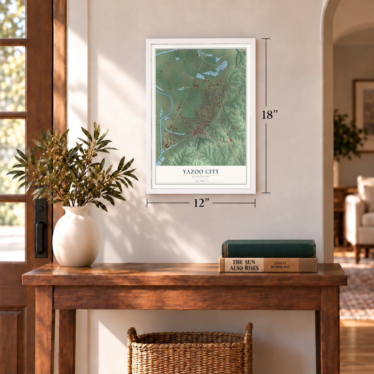
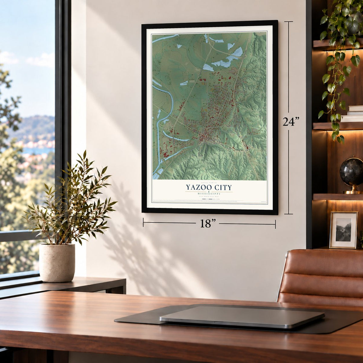
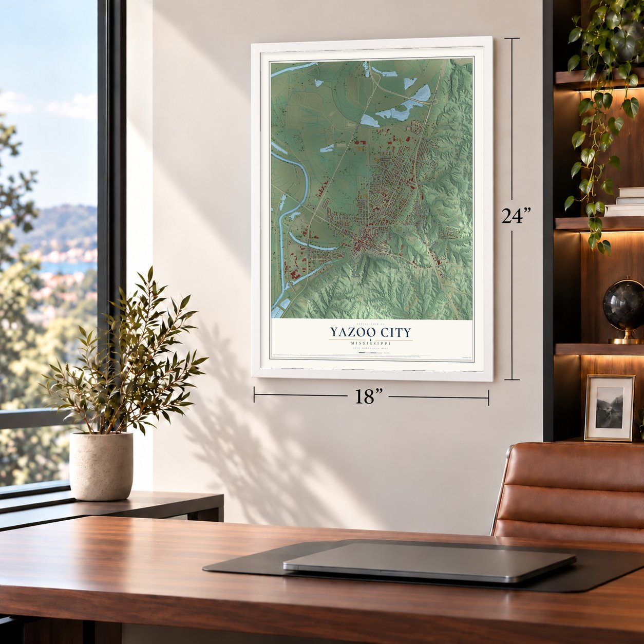

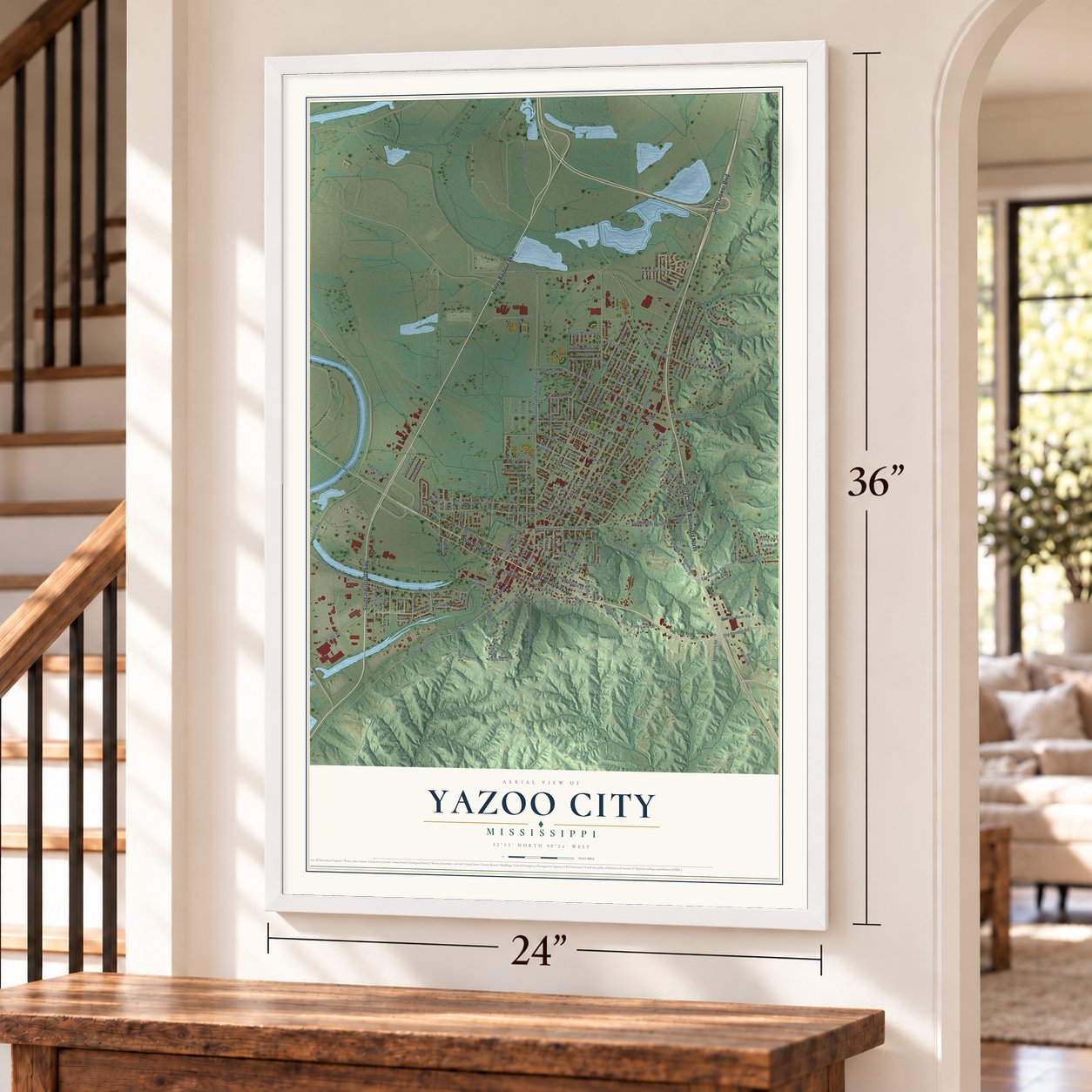
Free U.S. delivery 7 to 10 days after you order
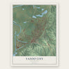
Yazoo City, Mississippi Map Art
A new map of Yazoo City, Mississippi, made in 2026 and printed to order on thick archival matte paper.
12" x 18" Archival Matte Print
A Map of Home. A Work of Art.
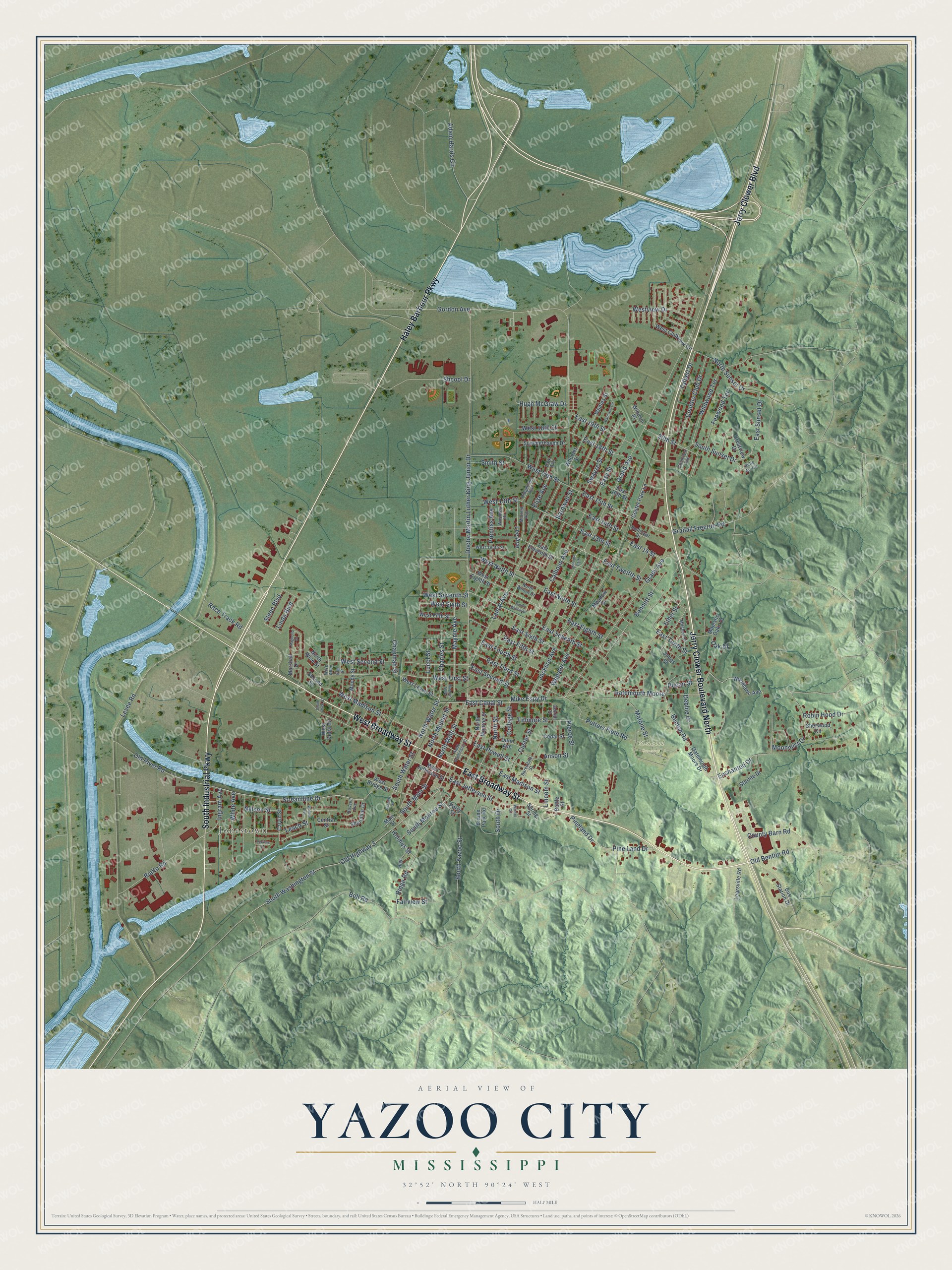
Explore Yazoo City, Mississippi from a whole new perspective. Created using aerial imagery and detailed geographic data, this map captures Yazoo City building by building, with labeled streets, familiar landmarks, and shaded topographical relief that highlights the natural contours of the landscape.
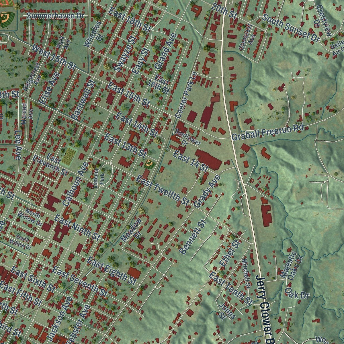
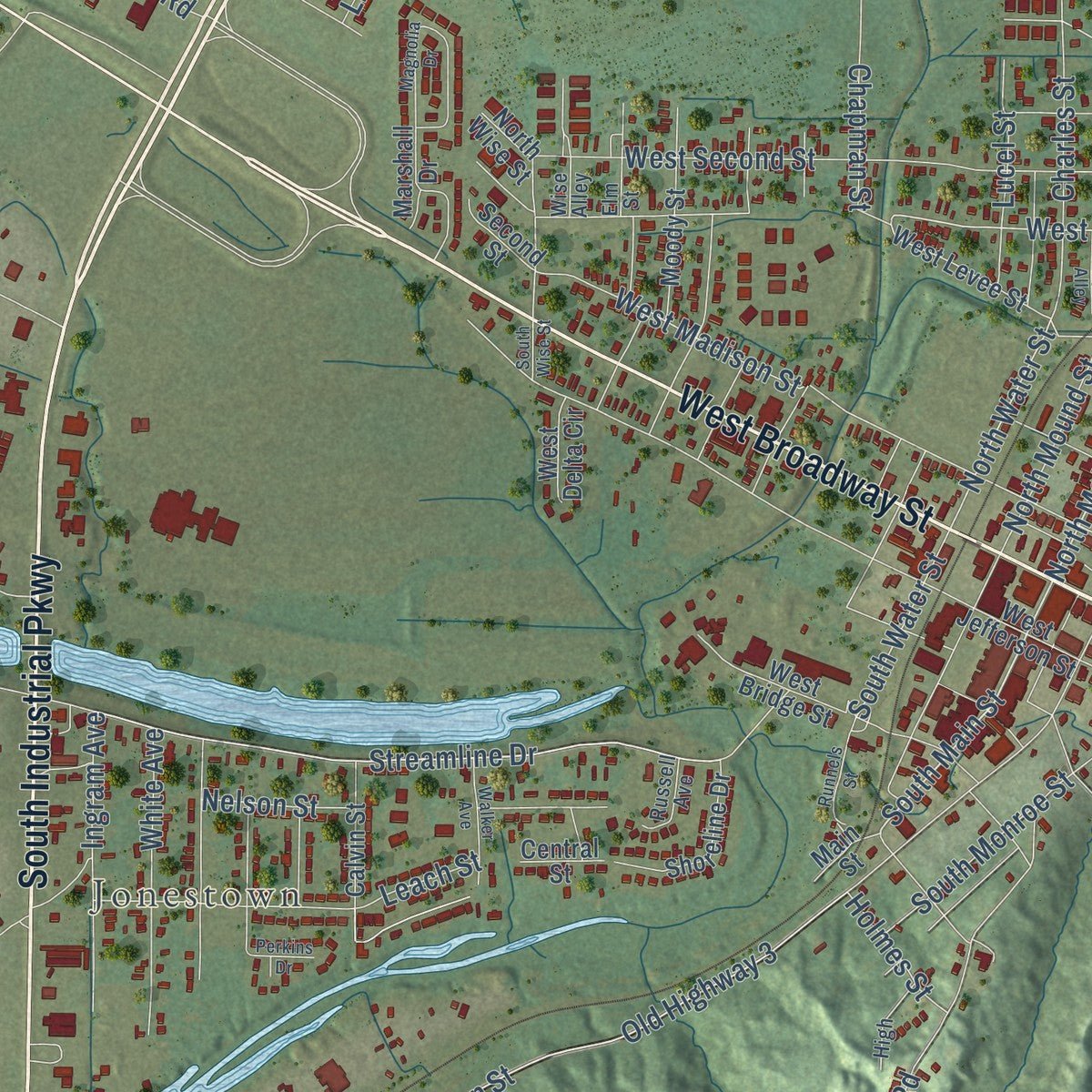
Combining modern data with the timeless character of a vintage atlas, this map is just as interesting up close as it is beautiful on the wall. Whether you grew up in Yazoo City, spent memorable years there, or call it home today, this unique map is a great way to celebrate a place that means something to you. Zoom in on the preview to look for your street, and then order a print to put your memories on the wall.
Three ways to hang it
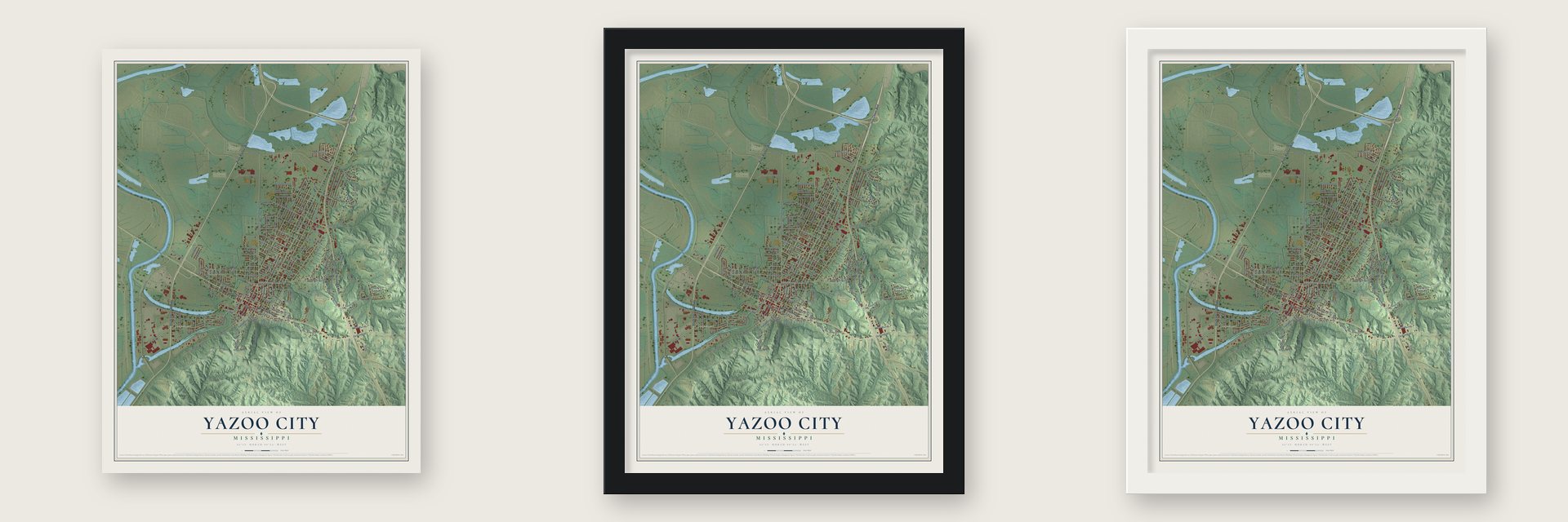
Unframed archival matte, a black wood frame or a white wood frame.
Up close
Geography Worth Displaying
This map was created using accurate cartographic data and authoritative geographic sources, including the U.S. Geological Survey and the Census Bureau. The map brings together terrain, waterways, roads, and building detail. The majority of the streets are labeled, houses are accurately depicted, and the topography is derived from government sources. Combining local data with carefully composed color and shading leads to this beautifully detailed Yazoo City artwork for your wall.
Rather than simply showing street outlines, we’ve included as many of the street names as we could reasonably fit on the map while keeping their names legible. Zoom in on the high resolution preview to see exactly what’s on the map. We truly set out to create a statement piece for anyone who loves Yazoo City. So whether it’s for you, or a gift for someone you love, we hope this map of Yazoo City brings back fond memories.
Read the story behind this map of Yazoo City, Mississippi from 2026.
About Yazoo City, Mississippi
Yazoo City is a city of 10,316 people on the banks of the Yazoo River, and it is the county seat of Yazoo County. The river's name dates to 1682, when the French explorer Robert de La Salle named it for the Yazoo tribe that lived near its mouth. The town began in 1824 as Hannan's Bluff, was renamed Manchester, and took the name Yazoo City in 1841. It became the county seat in 1849.
Yellow fever struck the town in 1853 and again in 1878, and in between, the Civil War brought Union troops here again and again. On March 5, 1864, Union soldiers fought the Battle of Yazoo City and held their ground against a Confederate force under Robert V. Richardson and Lawrence Sullivan Ross, then left the next day. They came back on May 19, 1864, and did more damage before the town was rebuilt.
- The ironclad CSS ArkansasAfter New Orleans and Memphis fell, Confederates finished the CSS Arkansas, a 165-foot ironclad warship, at a makeshift yard in Yazoo City. In its short career it challenged Union control of the Mississippi River and helped keep Vicksburg from falling early. On May 21, 1863, as a Union fleet came up the Yazoo, the Confederates burned the shipyard so the ships on it could not be captured, and the Federals burned the sawmill and lumberyard before they withdrew.
- The fire of 1904On May 25, 1904, a boy playing with matches set a house on fire by accident, though a local legend blames a witch taking revenge for her own death. The flames spread fast and destroyed three-fourths of the town, including most of its homes. A canal finally stopped the fire, which saved the courthouse, built in 1872 to replace the one Union forces burned, along with 10 antebellum homes nearby. The town needed almost two years to recover.
- Jerry Clower's hometownJerry Clower, the storyteller, came from South Mississippi and moved to Yazoo City to work for the Mississippi Chemical Corporation. He became famous for his stories, many of which mention Yazoo City, and lived here for more than 30 years before returning to Liberty in 1988. U.S. Route 49 through the city is named Jerry Clower Boulevard, and the city holds a Jerry Clower Festival every year.
- Willie Morris and North Toward HomeThe writer Willie Morris grew up in Yazoo City and described life in and around it in North Toward Home, his 1967 memoir, which told of his love-hate relationship with the place. He wrote about his hometown again in Yazoo, his 1971 book on school desegregation, and in many other works of fiction and autobiography.
Find your street
Names on the Yazoo City map
Every name below is printed on this map. Look for your street, your school, the park where you played, or the pond down the road.
Places and landmarks3
- Jonestown
- Glenwood Cemetery
- Lintonia Park
Streets and roads181
- Jerry Clower Boulevard North
- East Broadway Street
- Jerry Clower Boulevard
- South Industrial Parkway
- Haley Barbour Parkway
- West Broadway Street
- North Main Street
- South Main Street
- Gatemouth Moore
- West First Street
- North Water Street
- Benton Road
- Mike Espy Drive
- Streamline Drive
- East Canal Street
- West Sixth Street
- East Sunset Drive
- Pierce Street
- South Washington Street
- East 15th Street
- East Eighth Street
- South Water Street
- Grand Avenue
- Doctor Martin Luther King Junior Drive
- Gordon Avenue
- Levee Road
- Old River Road
- Adam Harris Circle
- Jackson Avenue
- Calhoun Avenue
Show all 181 streets
- Lamar Avenue
- Grady Avenue
- West Second Street
- Old Highway 3
- Potters Field Road
- East Twelfth Street
- West Madison Street
- Wildwood Terrace
- Rialto Road
- Ethel Street
- East Seventh Street
- South Yazoo Street
- East Powell Street
- East Fifth Street
- East Ninth Street
- East Madison Street
- West 15th Street
- Bennett Street
- East 19th Street
- Graball Freerun Road
- East Sixth Street
- Maynie Avenue
- Pine Land Drive
- Pineland Drive
- Ridge Road
- Enchanted Drive
- East Tenth Street
- East Fourth Street
- Old Benton Road
- Barnwell Street
- Lee Avenue
- East Third Street
- East Jefferson Street
- South Monroe Street
- Prentiss Avenue
- Country Club Drive
- Leach Street
- North Sunset Drive
- Talbert Drive
- Webster Avenue
- East 13th Street
- Swayze Street
- West Seventh Street
- East 14th Street
- East 18th Street
- County Barn Road
- Custer Street
- Charles Street
- South Sunset Drive
- East Second Street
- Fenwood Terrace
- Easy Street
- White Avenue
- Westview Drive
- West 13th Street
- Ingram Avenue
- Nelson Street
- Hugh McGraw Drive
- Moonmist Drive
- Shcool Drive
- Robin Hood Drive
- Chapman Street
- Fillmore Street
- 20th Street
- Malone Street
- Steen Boulevard
- North Mound Street
- Debbie Drive
- Lucel Street
- Bell Road
- West 18th Street
- North Street
- East 14 Street
- Race Track Road
- Fairview Street
- West Ninth Street
- Smith Street
- College Street
- Anson Street
- Linda Boulevard
- Holmes Street
- Elise Avenue
- South Drive
- Pecan Street
- Lincoln Street
- Oak Drive
- Gatemouth Moore Drive
- North Wise Street
- West Jefferson Street
- East Eleventh Street
- Woodlawn Avenue
- West Clubview Circle
- North Monroe Street
- West Fifth Street
- Calvin Street
- West Bridge Street
- East 16th Street
- Learsville Road
- Starlite Drive
- Brame Park Road
- Bus Station Drive
- Center Park Lane
- Crestview Drive
- Moody Street
- Wheeles Street
- Summerhaven Drive
- Marshall Drive
- West Levee Street
- Shoreline Drive
- West Eighth Street
- Sherwood Circle
- Majestic Oaks Drive
- Perry Street
- Wheles Street
- Cedar Street
- Spring Street
- Dunn Avenue
- Windsor Place
- Meadow Drive
- West Delta Circle
- Second Street
- Central Street
- Main Street
- Jones Street
- Battle Street
- West Tenth Street
- Barksdale Street
- North Willow Drive
- Belle Air Circle
- Mareed Avenue
- Woodlea Drive
- Ridgecrest Avenue
- Mitchell Street
- Sunflower Drive
- Elm Street
- Glencrest Avenue
- High
- Russell Avenue
- Park Avenue
- George Street
- Wise Alley
- North Washington Street
- Barnwell Circle
- South Willow Drive
- Magnolia Drive
- Walker Avenue
- Walnut Circle
- Runnels Street
- Maynie Alley
- Perkins Drive
- South Wise Street
Names are listed as they appear on the printed map. Zoom into the product photos to find them.
The art of mapping a place
How This Map Was Made
Real places. Remarkable detail. Discover the layers that turn geographic data into a map of home.

The view from above
Aerial imagery reveals the character of the land: woodland, open fields, and the patterns of a place.

The shape of the land
Elevation data brings hills, valleys, and subtle changes in the landscape into view.

The details of home
Roads, waterways, and building footprints come together to make the map feel unmistakably local.

Geography becomes art
Considered color, shading, and typography bring the layers together in a map made for your wall.


Process illustrated with Mendon, Massachusetts. Aerial imagery: USDA NAIP. Terrain: USGS 3D Elevation Program. Map details and finished artwork: KNOWOL.
The Details
About This Print
Choose an archival matte print, or a black or white Ayous wood frame. The archival matte print is unframed.
Select your size and finish above to see the matching product image and price.
Materials & Craftsmanship
A contemporary map with the character of a classic atlas, printed on archival matte paper. Optional frames are made from Ayous wood.
Your printed map does not include the watermark shown in the full-map preview.
Shipping & Delivery
Free shipping within the United States. Every print is made to order in the USA.
Buying a gift? Add a note in your cart and we'll include it. We never put prices in the package.
Prints ship within 2 to 3 business days. Allow 7 to 10 days total from ordering for delivery. Timing may vary during holidays or periods of high order volume.
Read our shipping policy.
Returns and damaged prints
Each print is made to order. Change-of-mind refunds are not available after production.
If your print arrives damaged, misprinted or incorrect, contact support@knowol.com within 30 days of receiving it. Include your order number, photos and a description of the issue.
Read our full refund and replacement policy. For questions about your order, email support@knowol.com.
Find your town
Looking for another city?
Find a map of home in our Mississippi collection, or any town in the country.
Nearby
Maps of towns near Yazoo City
Know someone from one of these towns? Their map makes a great gift.
 Benton
, Mississippi
From $39.99See the map
 Eden
Eden, Mississippi
From $39.99See the map
 Louise
, Mississippi
From $39.99See the map
More maps nearby: Bentonia, Satartia, Silver City, Kearney Park and Belzoni.