
Search for another town



Free U.S. delivery 7 to 10 days after you order
Youngsville, Louisiana Map Art
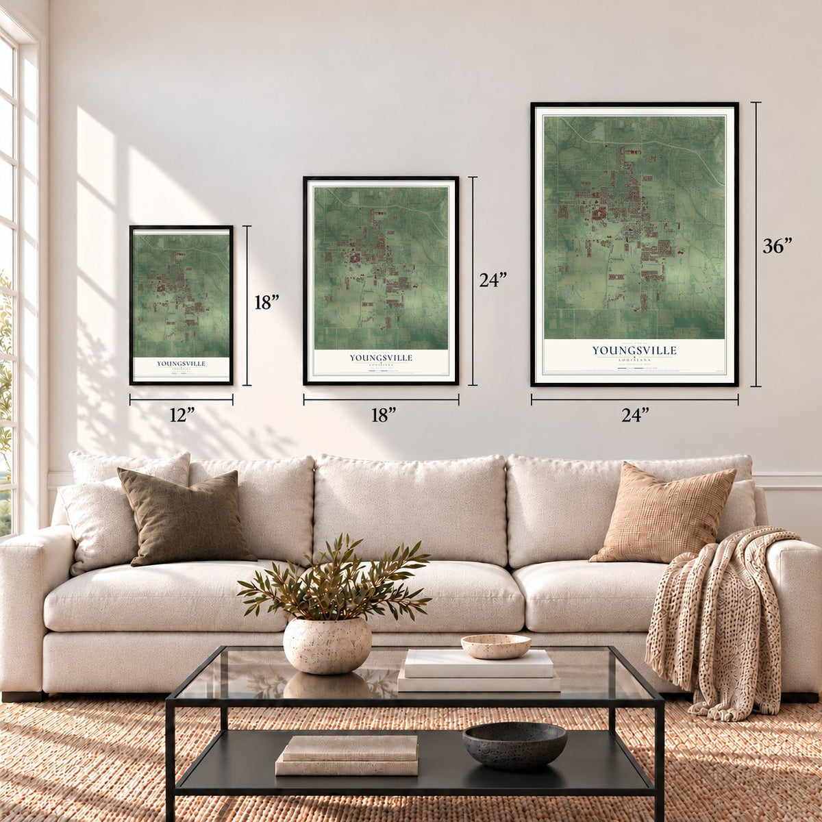
A new map of Youngsville, Louisiana, made in 2026 and printed to order on thick archival matte paper.
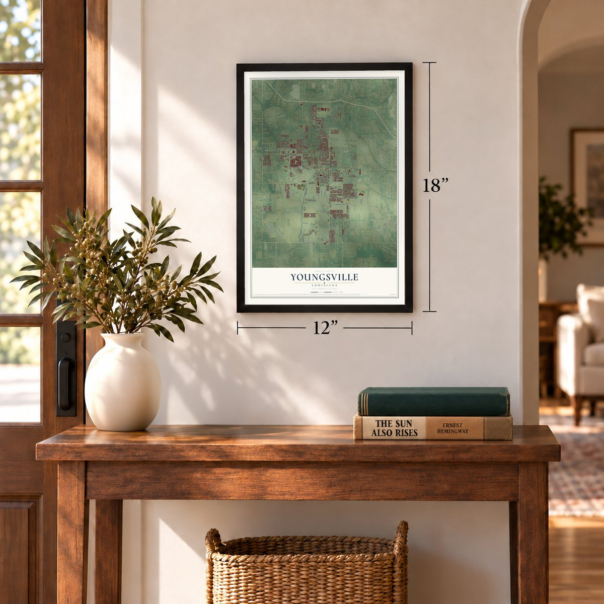
12" x 18" Archival Matte Print
A Map of Home. A Work of Art.
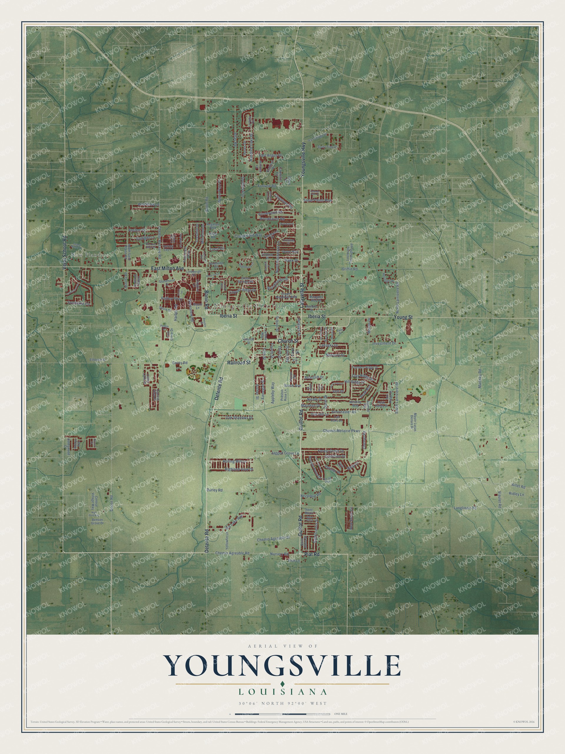
Explore Youngsville, Louisiana from a whole new perspective. Created using aerial imagery and detailed geographic data, this map captures Youngsville building by building, with labeled streets, familiar landmarks, and shaded topographical relief that highlights the natural contours of the landscape.
Combining modern data with the timeless character of a vintage atlas, this map is just as interesting up close as it is beautiful on the wall. Whether you grew up in Youngsville, spent memorable years there, or call it home today, this unique map is a great way to celebrate a place that means something to you. Zoom in on the preview to look for your street, and then order a print to put your memories on the wall.
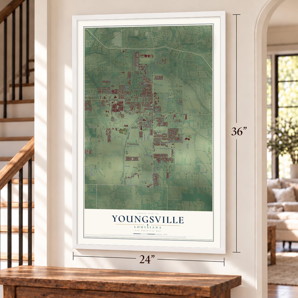
Three ways to hang it
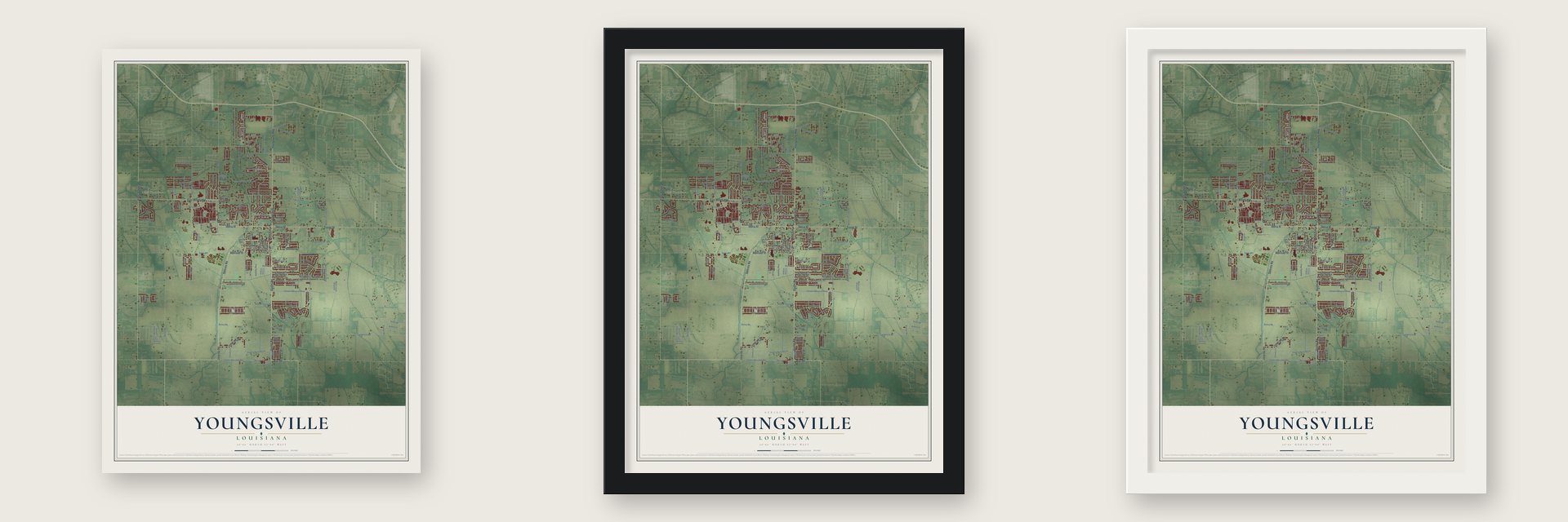
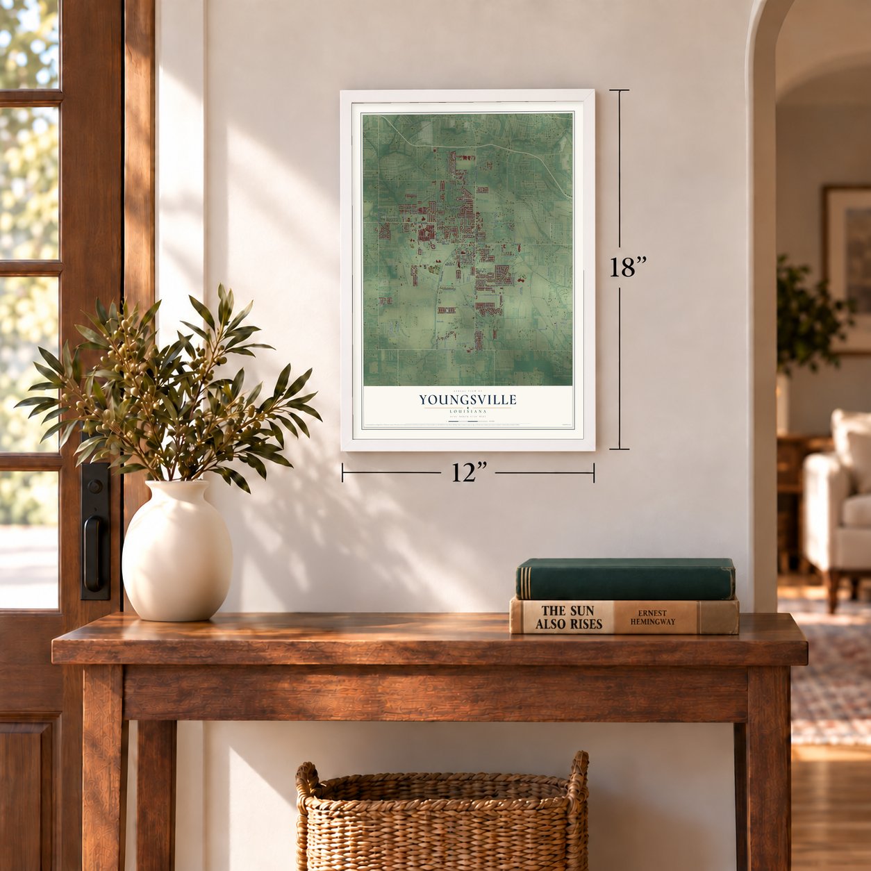
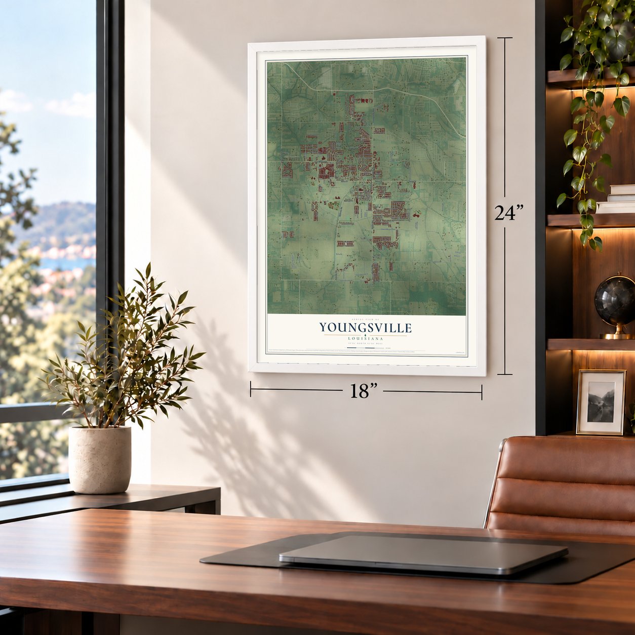
Unframed archival matte, a black wood frame or a white wood frame.
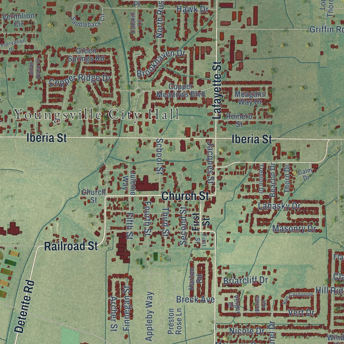
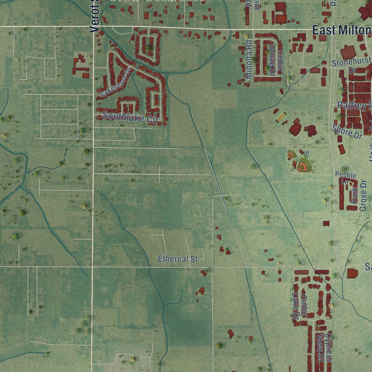
Up close
Geography Worth Displaying
This map was created using accurate cartographic data and authoritative geographic sources, including the U.S. Geological Survey and the Census Bureau. The map brings together terrain, waterways, roads, and building detail. The majority of the streets are labeled, houses are accurately depicted, and the topography is derived from government sources. Combining local data with carefully composed color and shading leads to this beautifully detailed Youngsville artwork for your wall.
Rather than simply showing street outlines, we’ve included as many of the street names as we could reasonably fit on the map while keeping their names legible. Zoom in on the high resolution preview to see exactly what’s on the map. We truly set out to create a statement piece for anyone who loves Youngsville. So whether it’s for you, or a gift for someone you love, we hope this map of Youngsville brings back fond memories.
Read the story behind this map of Youngsville, Louisiana from 2026.

About Youngsville, Louisiana
Youngsville is a city of 15,929 people in Lafayette Parish, with Lafayette on its north side and Broussard on its east. French Acadian farmers settled the area in the early 19th century. Sometime before 1839 a father and son, George and Desire Roy, mapped out the settlement and named it Royville. By 1859 enough families lived here to found St. Anne Church on Church Street, the oldest street in town, and it ranks among the oldest Catholic churches in the parish.
Royville's name was too close to Rayville, a town in north Louisiana, so in 1908 the U.S. Postal Service asked the village to pick another. That same year the village incorporated as Youngsville, a name meaning young village, and set up a government of a mayor and three aldermen. Governor David C. Treen declared Youngsville a town on January 20, 1983, and Governor Kathleen Blanco made it a city in 2006.
- Louisiana's fastest growing townWhen Youngsville became a town in 1983, it enlarged its board from three aldermen to five to serve its growing population. No town in Louisiana grew faster than Youngsville from 1990 to 2005, and its population rose by more than 300 percent in that time. The census counted 8,105 people in 2010, after 103% growth over the decade before, and 15,929 in 2020.
- Hometown of Dudley J. LeBlancDudley J. LeBlanc was born in Youngsville. He went on to become a Louisiana businessman and politician, and he built the Hadacol fortune of the 1950s.
- Still ringed by sugarcaneThe city has pushed out its boundaries and added services, but sugarcane farms still surround it. Its Sports Complex, Recreation Center, Sugar Beach, Pixus Splash Park and Amphitheater draw more than 1.2 million players and visitors a year.
Find your street
Names on the Youngsville map
Every name below is printed on this map. Look for your street, your school, the park where you played, or the pond down the road.
Places and landmarks2
- Youngsville City Hall
- New Flanders
Streets and roads174
- Guillot Road
- Detente Road
- Lafayette Street
- Church Street
- Railroad Street
- Piat Road
- Youngsville Highway
- Iberia Street
- East Milton Avenue
- Young Street
- Verot School Road
- Bonin Road
- Chemin Metairie Parkway
- Nursery Road
- Chemin Agreable Road
- Saint Lucius Street
- Harbor Road
- Langlinais Road
- Vert Drive
- Aillet Road
- Almonaster Road
- Decon Road
- Savoy Road
- South Larriviere Road
- Fortune Road
- Griffin Road
- Southlake Circle
- Copperfield Way
- Viaulet Road
- Atlas Road
Show all 174 streets
- Chemin Metairie Road
- North Larriviere Road
- Big Lake Run
- Mill Pond Drive
- Peak Run
- Chemin Agreable Street
- Wild Rose Lane
- Waterview Road
- Hill Ridge Drive
- New Snow Circle
- Hawk Drive
- North Rushmore Lane
- Palfrey Parkway
- Forest Grove Drive
- Burley Road
- Rolling Mill Lane
- Highland View Drive
- Nicole Drive
- Anslem Drive
- Hundred Oaks Drive
- Gaslight Lane
- Cresthill Drive
- Jagged Grove Lane
- Crest Circle
- Brookhaven Drive
- Cautillion Drive
- Oak Shadows Drive
- Bayou Parc Drive
- Oak Hill Lane
- Woodhaven Road
- Arrowwood Road
- Copper Ridge Drive
- Valcour Place
- Southfork Drive
- Clay Ridge Drive
- Lahasky Drive
- Marteau Road
- Durel Drive
- Claystone Road
- Archer Street
- Appleby Way
- Sabal Palms Row
- Finnegan Street
- Nezpique Road
- Breck Avenue
- Berg Court
- Masonry Drive
- Investment Drive
- Metals Drive
- Chemet Road
- Ridley Lane
- School Street
- Briarcliff Drive
- Maureen Drive
- Jacques Street
- Acres Drive
- Fifth Street
- East Angus Drive
- Fourth Street
- Third Street
- Second Street
- Vice Lane
- First Street
- Copper Meadows Boulevard
- Saint Major
- Saint Bruno Street
- Parker Lane
- Meagans Way Drive
- Devon Way
- La Villa Circle
- Cedar Lake Drive
- Field Crest Parkway
- Vermilion Circle
- Green Springs Road
- Cornish Place
- Ivy Cottage Drive
- Lindbergh Drive
- Tall Oaks Lane
- Beacon Drive
- Stony Trek Drive
- Romero Street
- Shore Drive
- Stonehurst Drive
- Flanders Ridge Drive
- Squirrel Run
- Central Village Way
- Preston Rose Lane
- Marsten House Drive
- Louisiana Thoroughbred
- South Saint Blaise Road
- Cypress View Drive
- Winding Way
- Catalina Lane
- Heritage Drive
- Cedar Grove Drive
- Benson Grove Drive
- Park Grove Drive
- Yellowfin Lane
- Greenwich Place
- Mayor Lucas Denais Drive
- Brahman Drive
- Carmelite Circle
- Ethereal Street
- Minolta Road
- Harvey Cay Lane
- Holstien Lane
- Abbeywood Court
- Harton Road
- Amaya Avenue
- Peak Valley Street
- Thorn Drive
- Sun Ridge Street
- Pegasus Boulevard
- Julenie Way
- Citron Drive
- Krieg Road
- Gaunt Lane
- Grand Manor Drive
- Broyles Street
- Saddleback Circle
- Woodstock
- Cricklade Court
- Lakeshore Drive
- Catskill Lane
- Rue Des Bouvier
- Fallen Oak Lane
- Trenton Drive
- Saint Daria
- Verger Drive
- Tee Jill Way
- Sugar Crst
- Pebble Lane
- Border Court
- Calm Drive
- Caillou Grove Road
- Crestmont Boulevard
- Barton Terrace
- Bluegrass Creek Road
- Rue Cordorcet
- Preservation Drive
- High Point Way
- Cascade Palm Court
- Silver Cedar Court
- Bottes Avenue
Names are listed as they appear on the printed map. Zoom into the product photos to find them.
The art of mapping a place
How This Map Was Made
Real places. Remarkable detail. Discover the layers that turn geographic data into a map of home.

The view from above
Aerial imagery reveals the character of the land: woodland, open fields, and the patterns of a place.

The shape of the land
Elevation data brings hills, valleys, and subtle changes in the landscape into view.

The details of home
Roads, waterways, and building footprints come together to make the map feel unmistakably local.

Geography becomes art
Considered color, shading, and typography bring the layers together in a map made for your wall.


Process illustrated with Mendon, Massachusetts. Aerial imagery: USDA NAIP. Terrain: USGS 3D Elevation Program. Map details and finished artwork: KNOWOL.
The Details
About This Print
Choose an archival matte print, or a black or white Ayous wood frame. The archival matte print is unframed.
Select your size and finish above to see the matching product image and price.
Materials & Craftsmanship
A contemporary map with the character of a classic atlas, printed on archival matte paper. Optional frames are made from Ayous wood.
Your printed map does not include the watermark shown in the full-map preview.
Shipping & Delivery
Free shipping within the United States. Every print is made to order in the USA.
Buying a gift? Add a note in your cart and we'll include it. We never put prices in the package.
Prints ship within 2 to 3 business days. Allow 7 to 10 days total from ordering for delivery. Timing may vary during holidays or periods of high order volume.
Read our shipping policy.
Returns and damaged prints
Each print is made to order. Change-of-mind refunds are not available after production.
If your print arrives damaged, misprinted or incorrect, contact support@knowol.com within 30 days of receiving it. Include your order number, photos and a description of the issue.
Read our full refund and replacement policy. For questions about your order, email support@knowol.com.
Find your town
Looking for another city?
Find a map of home in our Louisiana collection, or any town in the country.
Nearby
Maps of towns near Youngsville
Know someone from one of these towns? Their map makes a great gift.
 Broussard
, Louisiana
From $39.99See the map
 Milton
, Louisiana
From $39.99See the map
 Cade
Cade, Louisiana
From $39.99See the map
More maps nearby: Maurice, Lafayette, Erath, Delcambre and St. Martinville.