
Search for another town
Free U.S. delivery 7 to 10 days after you order
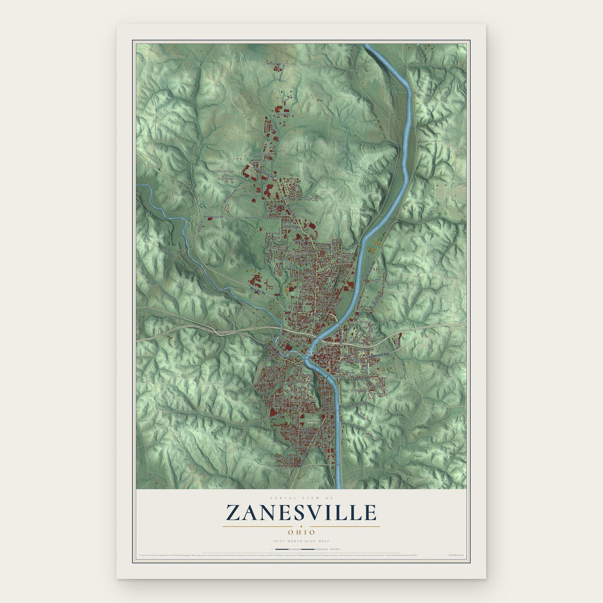
Zanesville, Ohio Map Art
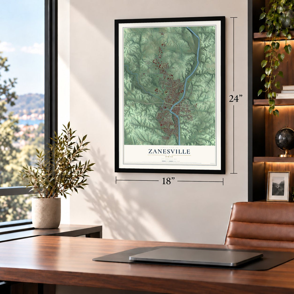
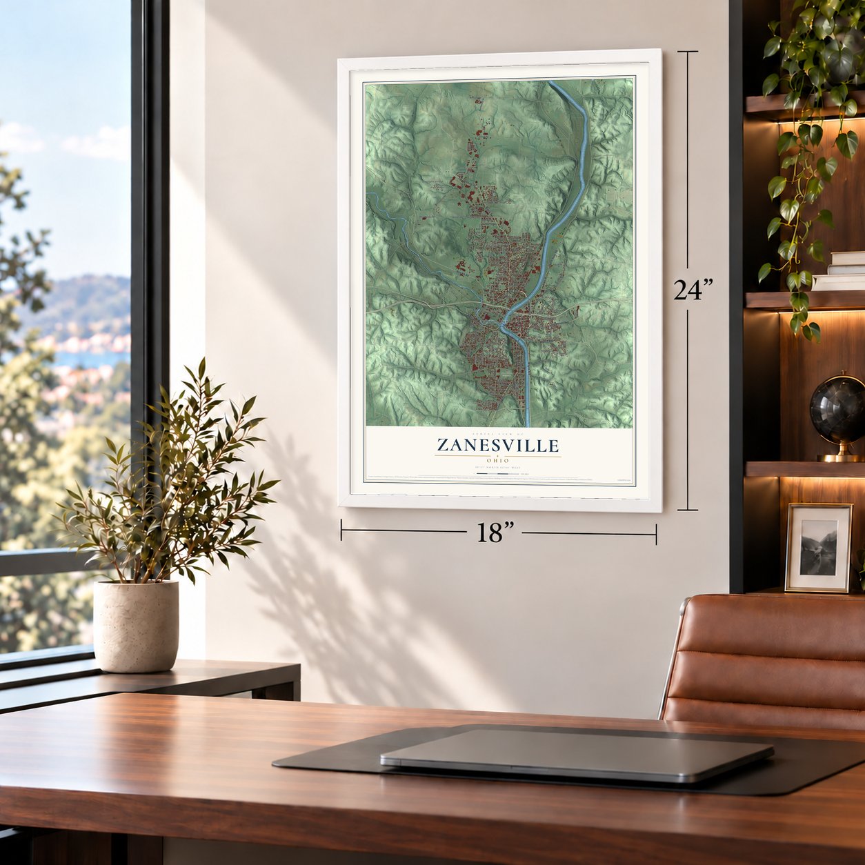
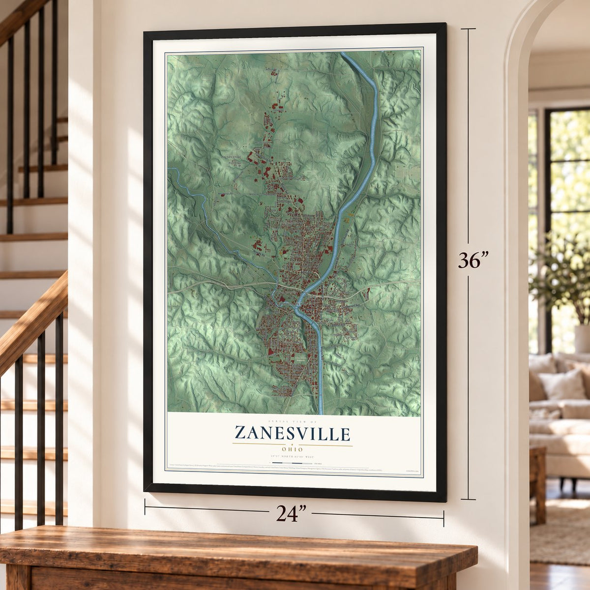
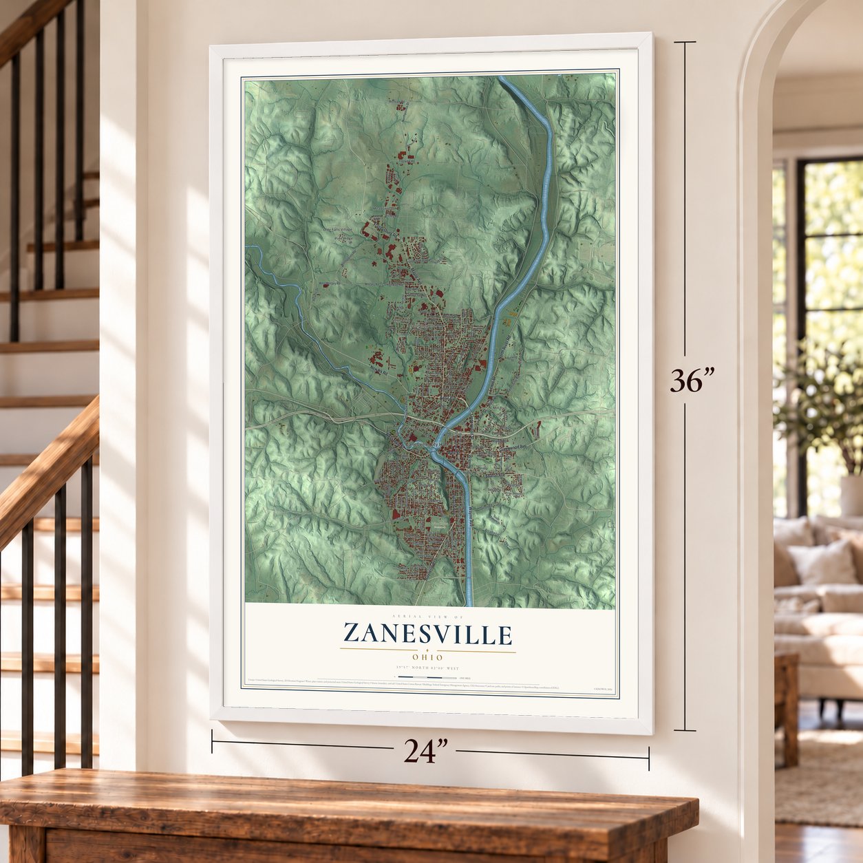
Building by building, with labeled streets and shaded relief.
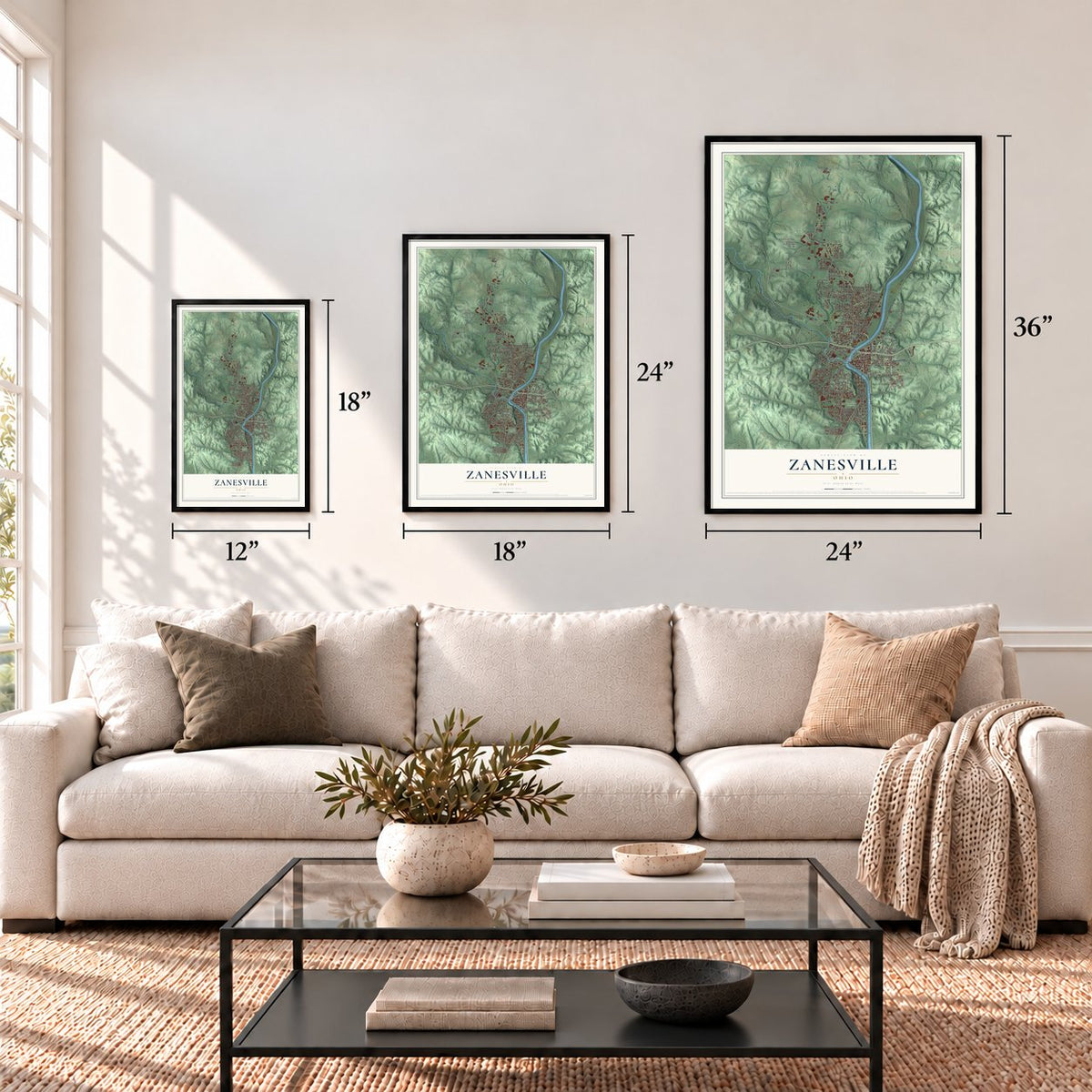
12" x 18" Archival Matte Print
A Map of Home. A Work of Art.
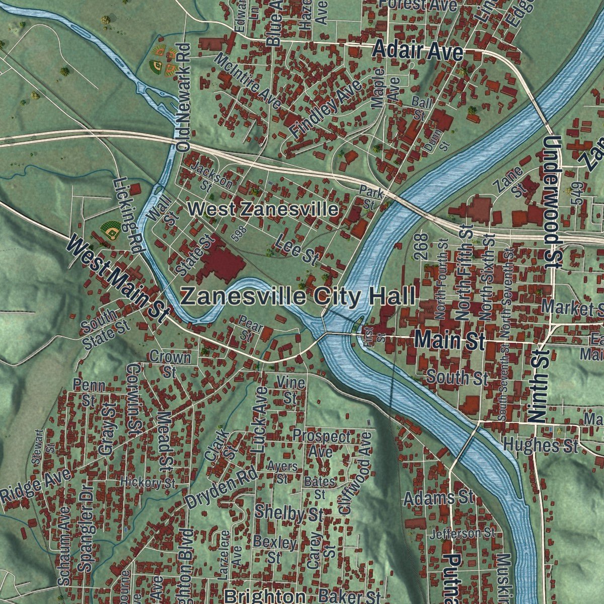
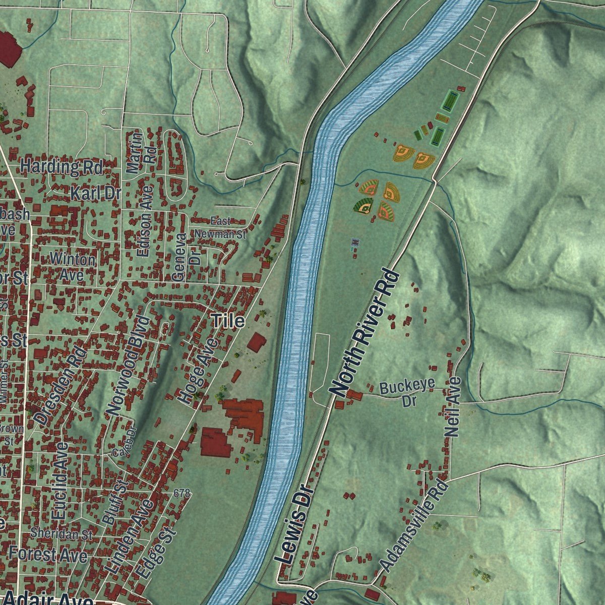
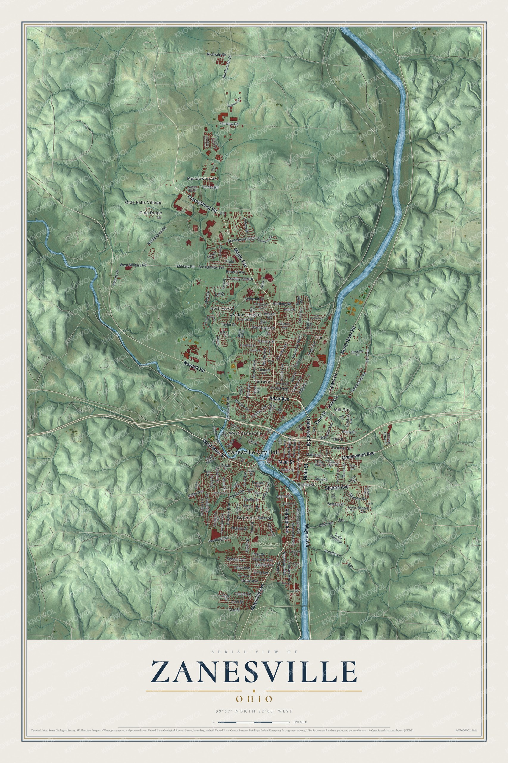
Explore Zanesville, Ohio from a whole new perspective. Created using aerial imagery and detailed geographic data, this map captures Zanesville building by building, with labeled streets, familiar landmarks, and shaded topographical relief that highlights the natural contours of the landscape.
Combining modern data with the timeless character of a vintage atlas, this map is just as interesting up close as it is beautiful on the wall. Whether you grew up in Zanesville, spent memorable years there, or call it home today, this unique map is a great way to celebrate a place that means something to you. Zoom in on the preview to look for your street, and then order a print to put your memories on the wall.
Three ways to hang it
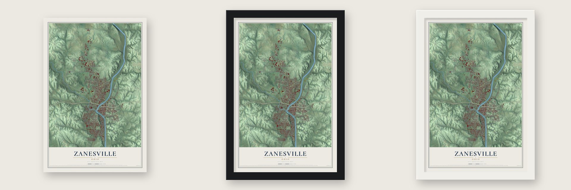
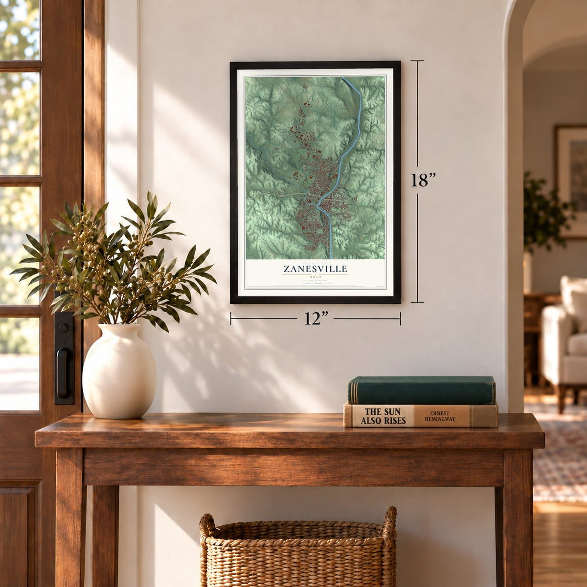
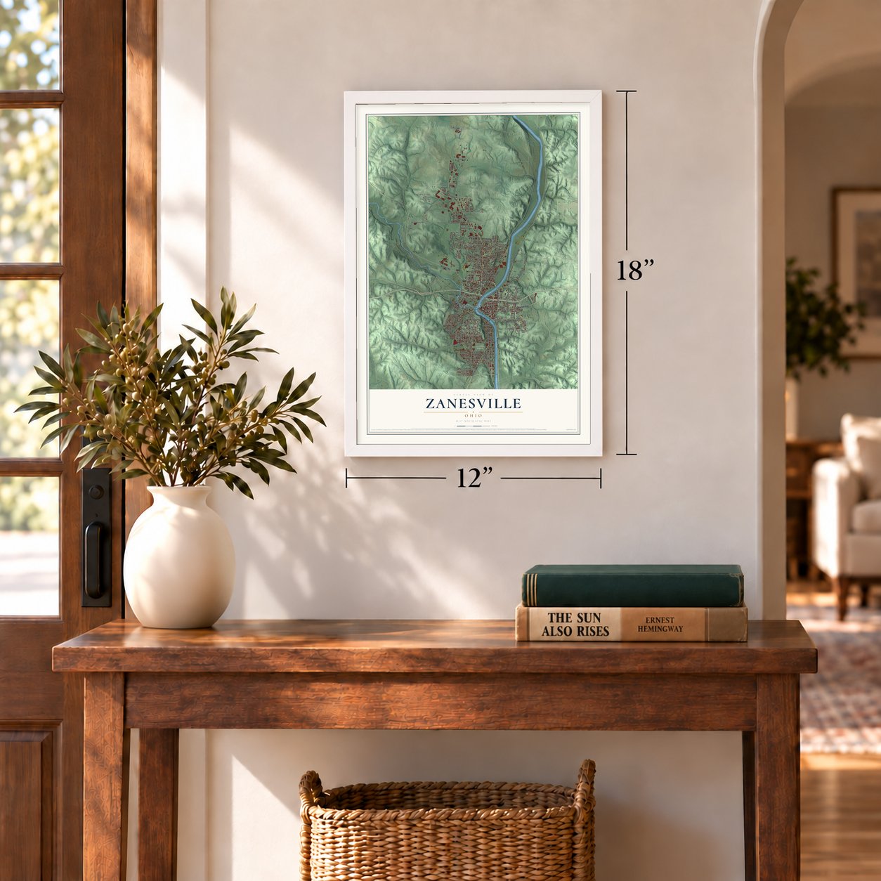
Unframed archival matte, a black wood frame or a white wood frame.
Up close
Geography Worth Displaying
This map was created using accurate cartographic data and authoritative geographic sources, including the U.S. Geological Survey and the Census Bureau. The map brings together terrain, waterways, roads, and building detail. The majority of the streets are labeled, houses are accurately depicted, and the topography is derived from government sources. Combining local data with carefully composed color and shading leads to this beautifully detailed Zanesville artwork for your wall.
Rather than simply showing street outlines, we’ve included as many of the street names as we could reasonably fit on the map while keeping their names legible. Zoom in on the high resolution preview to see exactly what’s on the map. We truly set out to create a statement piece for anyone who loves Zanesville. So whether it’s for you, or a gift for someone you love, we hope this map of Zanesville brings back fond memories.
Read the story behind this map of Zanesville, Ohio from 2026.

Find your street
Names on the Zanesville map
Every name below is printed on this map. Look for your street, your school, the park where you played, or the pond down the road.
Places and landmarks12
- Zanesville City Hall
- Woodlawn Cemetery
- Avalon Heights
- Brighton
- Meadowbrook
- Mill Run
- Northwood
- Olde Falls Village
- Pine Ridge
- Terrace
- Tile
- West Zanesville
Streets and roads187
- Wayne Avenue
- Underwood Street
- Maysville Avenue
- Greenwood Avenue
- Putnam Avenue
- Ninth Street
- Main Street
- Zane Street
- Adair Avenue
- Frazeysburg Road
- Lewis Drive
- Maple Avenue
- North River Road
- West Main Street
- Sharon Avenue
- Newark Road
- Adamsville Road
- Linden Avenue
- Richvale Road
- Moxahala Avenue
- Muskingum Avenue
- Clay Street
- North Fifth Street
- Richey Road
- West Taylor Street
- Taylor Street
- Fess Street
- Findley Avenue
- Corwin Street
- Northpointe Drive
Show all 187 streets
- County Highway 146
- Pine Street
- Blue Avenue
- Northpointe Road
- Military Road
- Woodlawn Avenue
- Brighton Boulevard
- Brandywine Boulevard
- Dresden Road
- Pershing Road
- West Military Road
- Dryden Road
- Luck Avenue
- Country Club Drive
- Norwood Boulevard
- Ridge Avenue
- Elm Street
- Forest Avenue
- Arcadia Lane
- Fairview Road
- Somers Street
- Myrtle Avenue
- Market Street
- Euclid Avenue
- Eppley Avenue
- Marion Avenue
- Colony Drive
- Seborn Avenue
- Eastman Street
- Bethesda Drive
- Lee Street
- Hoge Avenue
- Virginia Street
- Dillon Road
- Old Newark Road
- Neil Avenue
- Arch Street
- Spangler Drive
- Lake Drive
- Echo Avenue
- Gray Street
- Henry Street
- Green Street
- Mead Street
- Licking Road
- Wheeler Road
- Seaborn Avenue
- Edge Street
- Kearns Drive
- Harding Road
- South Street
- Beverly Avenue
- Warwick Avenue
- Talley Avenue
- Karl Drive
- Grove Avenue
- West Drive
- Selsam Street
- Shelby Street
- Baker Street
- East Drive
- Sevall Street
- Chester Street
- Hughes Street
- Adams Street
- Hall Avenue
- North Sixth Street
- East Main Street
- Marietta Street
- Adams Lane
- Crown Street
- Indiana Street
- Cliffwood Avenue
- McIntire Avenue
- Lexington Avenue
- Wheeling Avenue
- State Street
- Schaum Avenue
- Fairway Lane
- Bell Street
- Wabash Avenue
- Hazel Avenue
- Race Street
- Headley Street
- Pfeifer Drive
- Francis Street
- Bluff Street
- Eastward Circle
- Buckeye Drive
- South Calvert Street
- Fairmont Avenue
- Prospect Avenue
- Princeton Avenue
- South State Street
- Goddard Avenue
- Colony Hill Drive
- Wall Street
- Martin Road
- Maple Hill Street
- Athena Lane
- Carey Street
- Fairway Drive
- Penn Street
- Edison Avenue
- Sunrise Center Drive
- Lincoln Street
- Bennett Avenue
- Winton Avenue
- Clark Street
- Geneva Drive
- Harris Road
- Balls Lane
- Bexley Street
- Vine Street
- White Oak Avenue
- Larzelere Avenue
- Jackson Street
- Westbourne Avenue
- Sheridan Street
- Merrick Avenue
- Glessner Avenue
- Jacobs Street
- North Seventh Street
- Oak Meadow Lane
- Hickory Street
- North Fourth Street
- Rich Street
- Highpointe Court
- Ayers Street
- Jefferson Street
- Bates Street
- Carmen Drive
- Nutt Street
- Ball Street
- Sunrise Avenue
- Edward Lane
- Pallas Avenue
- Ada Street
- Pear Street
- Park Street
- Wilmer Street
- Stewart Street
- South Seventh Street
- Calvert Street
- Brown Street
- Strattford Circle East
- Arthur Street
- Strattford Circle West
- East Newman Street
- Hoover Street
- Caleb Drive
- Beulah Lane
- James Court
- Dunn Street
- First Street
- Kirk Drive
- Kay Drive
Names are listed as they appear on the printed map. Zoom into the product photos to find them.
About Zanesville, Ohio
Zanesville is the county seat of Muskingum County, a city of 24,765 people where the Licking River flows into the Muskingum. Ebenezer Zane cut Zane's Trace, a pioneer road that ran from Wheeling to Maysville, Kentucky, across what became Ohio. In 1797 he paid his son-in-law, John McIntire, with land where the trace reached the Muskingum, and McIntire laid out a town there with Zane's help. By 1799 McIntire was running an inn and a ferry, and in 1801 the settlement Zane had called Westbourne took the name Zanesville.
The young town served as Ohio's second state capital from 1810 to 1812. The National Road later passed through it, and Zanesville grew fast from the 1820s through the 1850s. From the 1840s until the Civil War, Zanesville and Putnam, across the Muskingum, were stops on the Underground Railroad. In 1863, during Morgan's Raid, more than 5,000 Union soldiers camped in the area to guard the city. Zanesville annexed Putnam in 1872, and it is now the Putnam Historic District.
“the most recognizable city in the country”
- A city of potteriesGood local clay and the rivers made Zanesville a pottery town. In the 20th century's first half, over a dozen potteries operated in and around the city, turning out both art pottery and everyday wares. Weller Pottery, Roseville Pottery, the J. B. Owens Pottery Company, the Mosaic Tile Company and the American Encaustic Tiling Company all made their goods here.
- The Y-BridgeA three-way bridge crosses the point where the Licking meets the Muskingum, splitting in the middle like the letter Y. Few bridges like it exist in the United States. It has been rebuilt many times since the 1850s and is listed on the National Register.
- Birthplace of Zane GreyZane Grey, the writer of Westerns, was born in Zanesville and came from the same Zane family that founded the town. A state historical marker in the city calls him the "Father of the Western Novel."
- A log school in 1803Zanesville opened its first schoolhouse, a log cabin, in 1803. Ohio University-Zanesville held its classes in the high school building from 1946 until its own campus opened in 1969, and Zane State College now sits next door.
Keep exploring Ohio
Zanesville is one of 1,389 Ohio towns we've mapped. Every dot on the map is a print of its own.
The search covers every state, Ohio first.
Near Zanesville
Order 2 or more town maps and save 10%. Shown in the size and finish you picked above, so they hang as a set.
- North Zanesville 12" x 18" / Archival Matte Print $39.99
- Pleasant Grove 12" x 18" / Archival Matte Print $39.99
- South Zanesville 12" x 18" / Archival Matte Print $39.99
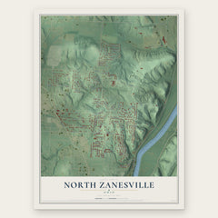

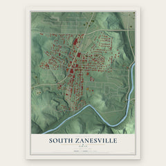
More maps nearby: Maysville, Duncan Falls, Philo, East Fultonham and Fultonham.
The art of mapping a place
How This Map Was Made
Real places. Remarkable detail. Discover the layers that turn geographic data into a map of home.

The view from above
Aerial imagery reveals the character of the land: woodland, open fields, and the patterns of a place.

The shape of the land
Elevation data brings hills, valleys, and subtle changes in the landscape into view.

The details of home
Roads, waterways, and building footprints come together to make the map feel unmistakably local.

Geography becomes art
Considered color, shading, and typography bring the layers together in a map made for your wall.


Process illustrated with Mendon, Massachusetts. Aerial imagery: USDA NAIP. Terrain: USGS 3D Elevation Program. Map details and finished artwork: KNOWOL.
The Details
About This Print
Choose an archival matte print, or a black or white Ayous wood frame. The archival matte print is unframed.
Select your size and finish above to see the matching product image and price.
Materials & Craftsmanship
A contemporary map with the character of a classic atlas, printed on archival matte paper. Optional frames are made from Ayous wood.
Your printed map does not include the watermark shown in the full-map preview.
Shipping & Delivery
Free shipping within the United States. Every print is made to order in the USA.
Buying a gift? Add a note in your cart and we'll include it. We never put prices in the package.
Prints ship within 2 to 3 business days. Allow 7 to 10 days total from ordering for delivery. Timing may vary during holidays or periods of high order volume.
Read our shipping policy.
Returns and damaged prints
Each print is made to order. Change-of-mind refunds are not available after production.
If your print arrives damaged, misprinted or incorrect, contact support@knowol.com within 30 days of receiving it. Include your order number, photos and a description of the issue.
Read our full refund and replacement policy. For questions about your order, email support@knowol.com.