
Search for another town





Free U.S. delivery 7 to 10 days after you order
Adams, Butler County, Pennsylvania Map Art
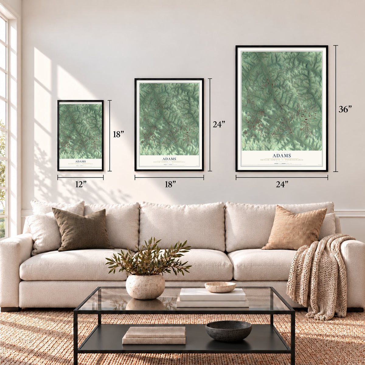
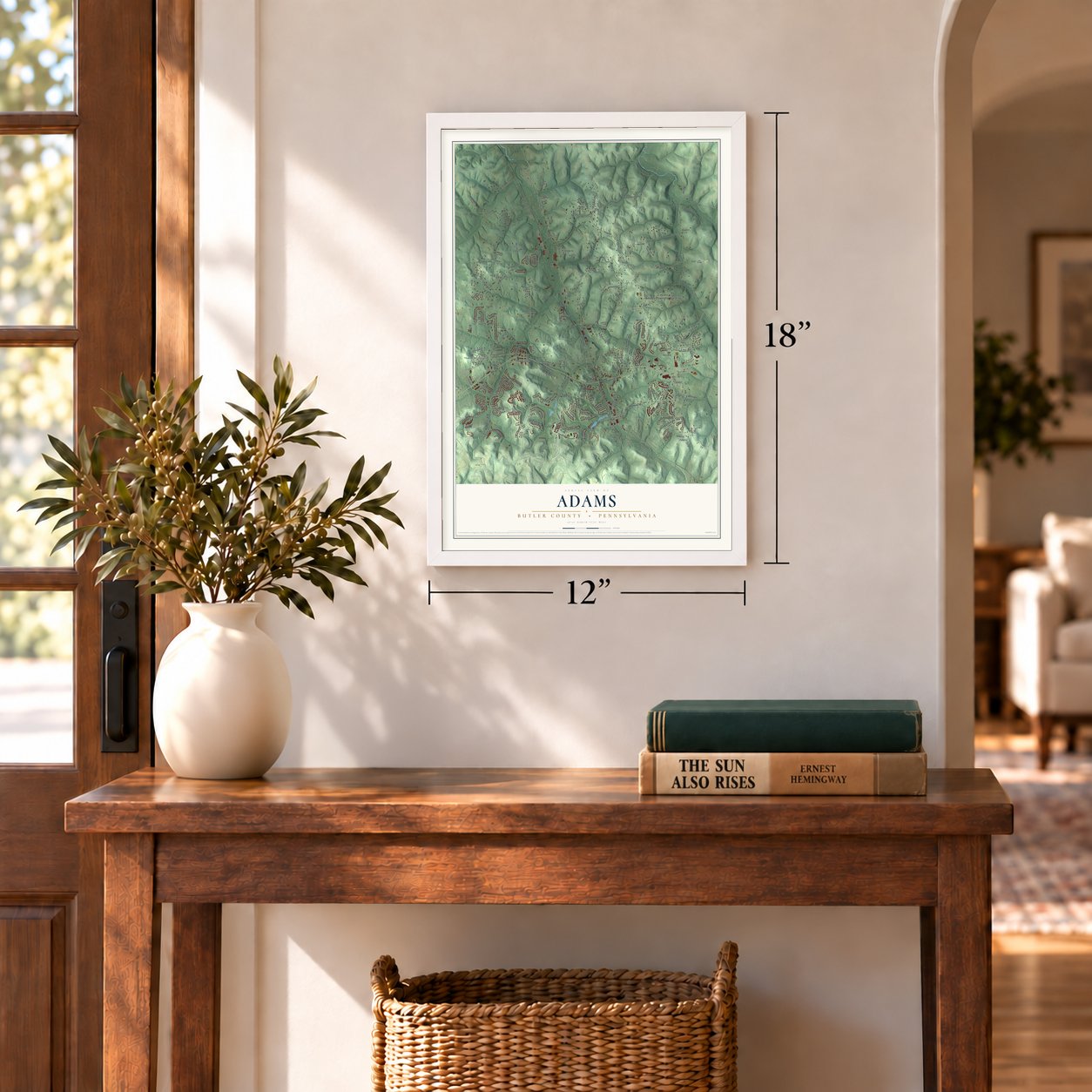
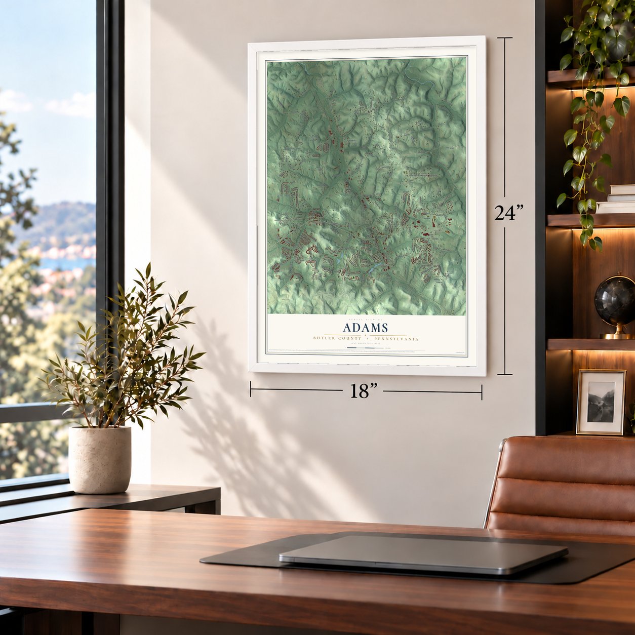
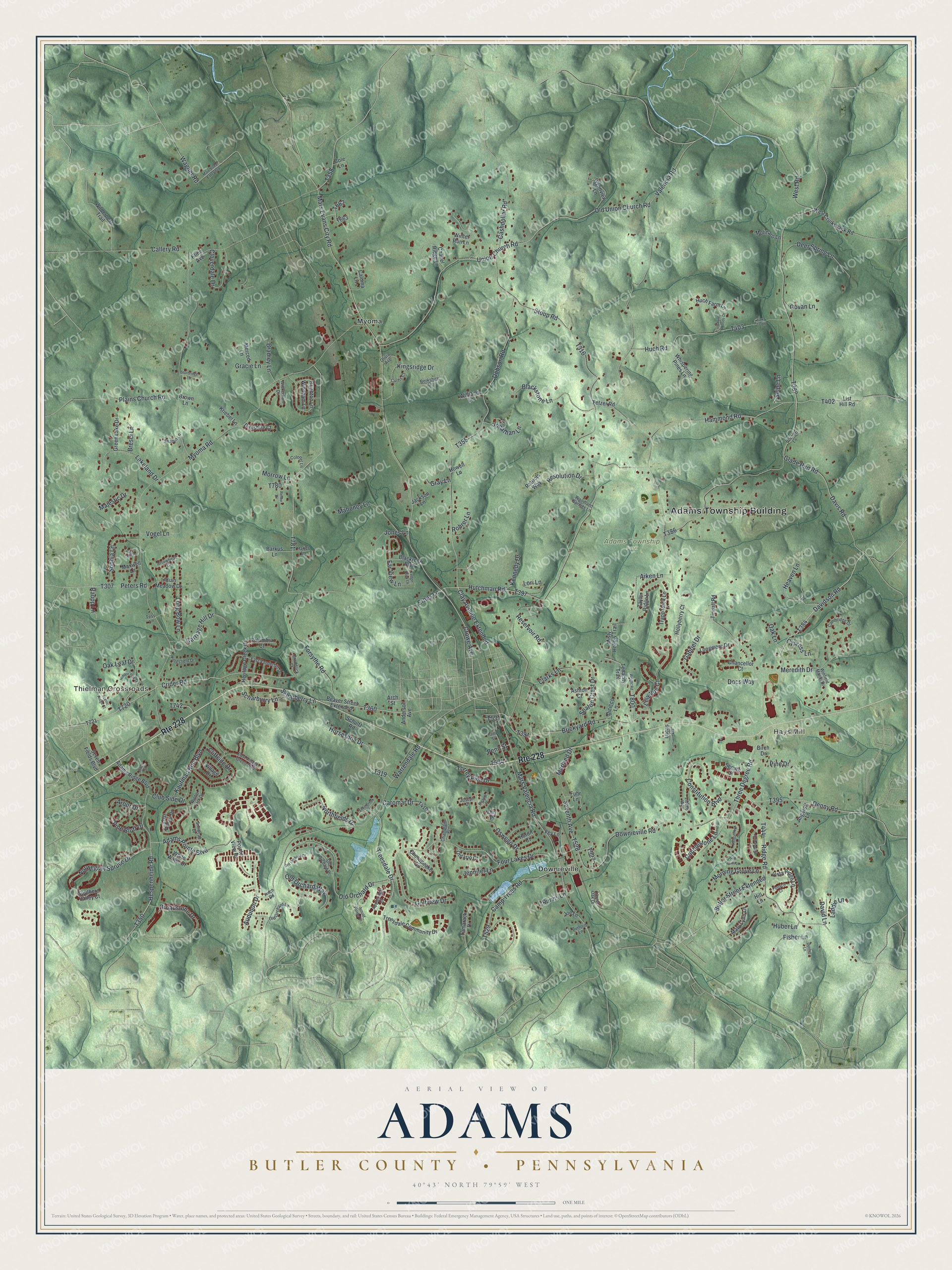
A new map of Adams, Butler County, Pennsylvania, made in 2026 and printed to order on thick archival matte paper.
12" x 18" Archival Matte Print
A Map of Home. A Work of Art.
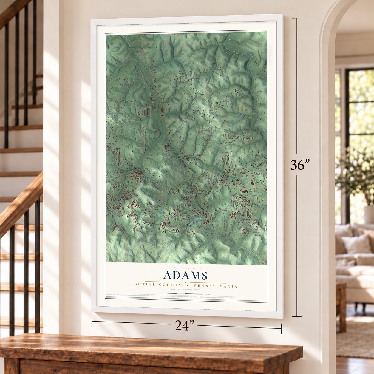
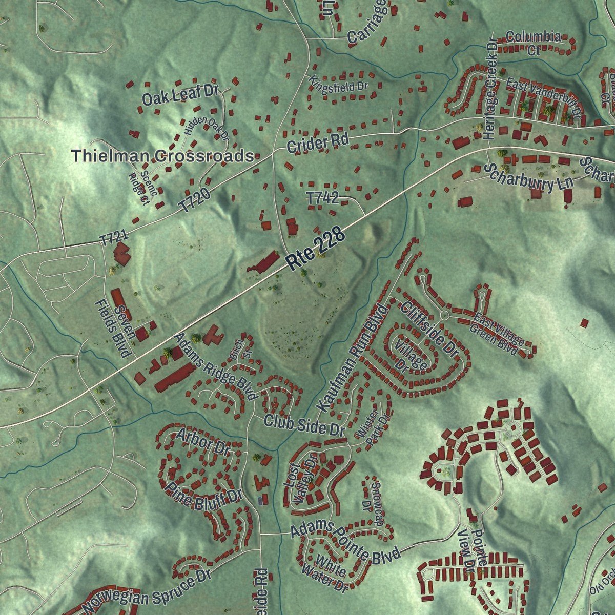
This beautifully detailed map of Adams, Butler County, Pennsylvania was created in 2026 using aerial imagery combined with modern topographical, census, street and landmark data. It's a modern aerial view of Adams, Butler County in Butler County, Pennsylvania, that combines modern data with a vintage aesthetic. Zoom in on the preview and look for your block.
Three ways to hang it
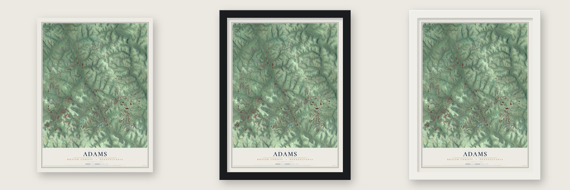
Unframed archival matte, a black wood frame or a white wood frame.
Up close
Real geography. Art worth displaying.
This map was created using accurate cartographic data and authoritative geographic sources, including the U.S. Geological Survey and the Census Bureau. The map brings together terrain, waterways, roads, and building detail. The majority of the streets are labeled, houses are accurately depicted, and the topography is derived from government sources. Combining local data with carefully composed color and shading leads to this beautifully detailed Adams artwork for your wall.
Rather than simply showing street outlines, we’ve included as many of the street names as we could reasonably fit on the map while keeping their names legible. Zoom in on the high resolution preview to see exactly what’s on the map. We truly set out to create a statement piece for anyone who loves Adams. So whether it’s for you, or a gift for someone you love, we hope this map of Adams brings back fond memories.
Read the story behind this map of Adams, Butler County, Pennsylvania from 2026.

Find your street
Names on the Adams map
Every name below is printed on this map. Look for your street, your school, the park where you played, or the pond down the road.
Places and landmarks6
- Adams Township Building
- Thielman Crossroads
- Hays Mill
- Adams Township Park
- Downieville
- Myoma
Streets and roads223
- Route 228
- Mars Evans City Road
- Brickyard Road
- Davidson Road
- Wagner Road
- Crowe Avenue
- Crider Road
- Treesdale Drive
- Camp Trees Road
- Hespenheide Road
- Scharberry Lane
- Clay Avenue Extended
- Mars Valencia Road
- Ridge Road
- Heaven Lane
- Three Degree Road
- Myoma Road
- Valencia Road
- Forsythe Road
- Old Union Church Road
- Union Church Road
- Dobson Road
- Hutchman Road
- Callery Road
- Stoup Road
- Warrendale Road
- Old Orchard Drive
- Downieville Road
- Four Lakes Drive
- Huch Road
Show all 223 streets
- Hammond Road
- Jones Lane
- Blackstone Lane
- Norwegian Spruce Drive
- Constitution Boulevard
- Horseshoe Drive
- Kingsridge Drive
- Cliffside Drive
- Denny Road
- Deer Spring Lane
- Resolution Drive
- Adams Pointe Boulevard
- Glade Run Road
- Cashdollar Road
- Lakeland Drive
- Cloverdale Drive
- Plains Church Road
- Broadstone Drive
- Long Bow Lane
- Club Side Drive
- Mahoney Lane
- Kaufman Run Boulevard
- Docs Way
- Meredith Drive
- Oswego Drive
- Carriage Hill Drive
- Seaton Crest Drive
- Lilly Vue Court
- Golfview Drive
- Seventh Avenue
- Gabriel Drive
- Audubon Drive
- Aiken Lane
- Lori Lane
- Sophia Lane
- Butler Street Extended
- Morning Grove Lane
- Old Orchard Way
- Northfields Drive
- Peters Road
- Cobblestone Lane
- Pine Drive
- Davis Road
- Vogel Lane
- Scharburry Lane
- West Road
- Torrey Pine Drive
- Erbes Lane
- Fisher Lane
- Oak Leaf Drive
- Reservoir Road
- Caromar Drive
- Majestic Drive
- Morrow Lane
- Clarks Lane
- Kennedy Drive
- Far View Lane
- Cypress Lane
- Jonathan Lane
- Bradley Lane
- Pine Bluff Drive
- Marland Drive
- Jennifer Lane
- Seipe Lane
- Arbor Drive
- Govan Lane
- Raupp Lane
- Laddie Lane
- Bresci Lane
- Gracie Lane
- Huber Lane
- Oak Lane
- David Lane
- Purvis Lane
- Rohrer Lane
- Gray Lane
- Penn Street
- Adams Ridge Boulevard
- Brighton Lane
- Pointe View Drive
- Tamarack Drive
- Beaver Street Extended
- Chapel Ridge Lane
- Wilderness Trail
- Southern Valley Court
- Mary Lynn Lane
- Village Drive
- Vista Ridge Lane
- Treesdale Community Drive
- List Hill Road
- Lost Valley Drive
- Taylor Ridge Lane
- Seven Fields Boulevard
- Heritage Creek Drive
- West Cruikshank Road
- White Water Drive
- Tenacity Trail
- Trapp Rock Lane
- Longmore Drive
- Whispering Pines Lane
- Kline Avenue
- Tindall Road
- Green Lake Drive
- Indian Meadow Drive
- Misty Hollow Trail
- Huch Farm Lane
- Blackrock Boulevard
- Wynnview Lane
- Chesapeake Drive
- Hollyberry Court
- Merced Lane
- Chancellor Court
- Maxwell Lane
- Windham Lane
- Patriots Way
- Columbia Court
- Fuhr Lane
- Molinaro Lane
- Caloma Lane
- Dirkshire Court
- Ontario Court
- Schultz Road
- Kriebel Lane
- Barkus Lane
- Angeloff Lane
- Williams Lane
- Anderson Avenue
- Senate Court
- Winter Run Lane
- Lucas Lane
- Dicicco Lane
- Fetzer Road
- Huron Court
- Ashton Court
- Jackson Lane
- Birch Drive
- Cole Lane
- Howell Lane
- Brown Lane
- Joe Lane
- Fey Lane
- Amy Place
- Arch Street
- Hill Lane
- Old Orchard Lane
- Cambridge Drive
- Appleridge Court
- East Village Green Boulevard
- Winfield Manor Drive
- East Vanderbilt Drive
- Olivia Avenue
- Laurel Oak Drive
- Liberty Way
- Kingsfield Drive
- Champlain Place
- Winter Park Drive
- Colonel Lane
- Old Orchard Place
- Wickerham Drive
- Arrowhead Court
- Braddock Court
- Sharon Lane
- Woodland Springs Lane
- Curtis Court
- Berkshire Drive
- Finch Road
- Bocheff Lane
- Snowcap Drive
- Harjer Lane
- Joseph Court
- Burford Lane
- Tess Lane
- Main Street Extended
- Hidden Oak Drive
- Valleybrook Drive
- Wright Road
- Ambassador Lane
- Ledge Rock Lane
- Adams Woods Drive
- Arnold Palmer Drive
- Hill Farm Lane
- Old Orchard Court
- Pinnacle Court
- Paige Place
- Scenic Ridge Court
- Silvercreek Drive
- Sturbridge Lane
- Fox Fire Lane
- Dunlap Lane
- Renee Drive
- Eleanor Place
- Birch Street
- Faith Street
Names are listed as they appear on the printed map. Zoom into the product photos to find them.
The art of mapping a place
How This Map Was Made
Real places. Remarkable detail. Discover the layers that turn geographic data into a map of home.

The view from above
Aerial imagery reveals the character of the land: woodland, open fields, and the patterns of a place.

The shape of the land
Elevation data brings hills, valleys, and subtle changes in the landscape into view.

The details of home
Roads, waterways, and building footprints come together to make the map feel unmistakably local.

Geography becomes art
Considered color, shading, and typography bring the layers together in a map made for your wall.


Process illustrated with Mendon, Massachusetts. Aerial imagery: USDA NAIP. Terrain: USGS 3D Elevation Program. Map details and finished artwork: KNOWOL.
The Details
About This Print
Choose an archival matte print, or a black or white Ayous wood frame. The archival matte print is unframed.
Select your size and finish above to see the matching product image and price.
Materials & Craftsmanship
A contemporary map with the character of a classic atlas, printed on archival matte paper. Optional frames are made from Ayous wood.
Your printed map does not include the watermark shown in the full-map preview.
Shipping & Delivery
Free shipping within the United States. Every print is made to order in the USA.
Buying a gift? Add a note in your cart and we'll include it. We never put prices in the package.
Prints ship within 2 to 3 business days. Allow 7 to 10 days total from ordering for delivery. Timing may vary during holidays or periods of high order volume.
Read our shipping policy.
Returns and damaged prints
Each print is made to order. Change-of-mind refunds are not available after production.
If your print arrives damaged, misprinted or incorrect, contact support@knowol.com within 30 days of receiving it. Include your order number, photos and a description of the issue.
Read our full refund and replacement policy. For questions about your order, email support@knowol.com.
Find your town
Looking for another city?
Find a map of home in our Pennsylvania collection.
Nearby
Maps of towns near Adams
Know someone from one of these towns? Their map makes a great gift.
 Mars
Mars, Pennsylvania
From $39.99See the map
 Callery
, Pennsylvania
From $39.99See the map
 Valencia
, Pennsylvania
From $39.99See the map
More maps nearby: Seven Fields, Middlesex, Forward, Evans City and Cranberry.