
Search for another town




Free U.S. delivery 7 to 10 days after you order
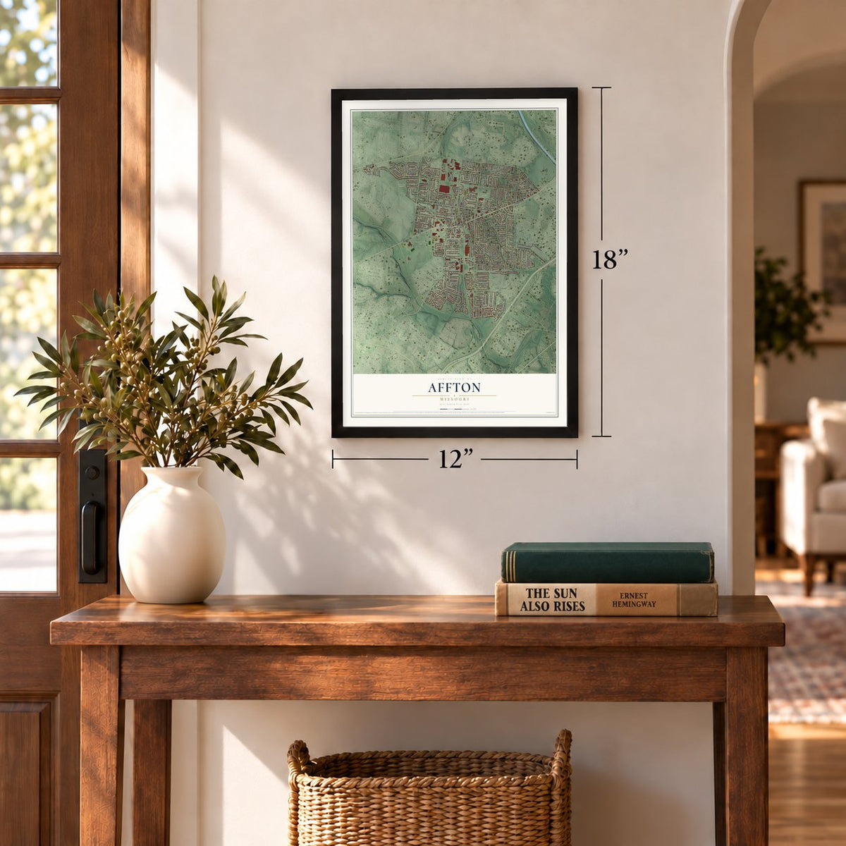
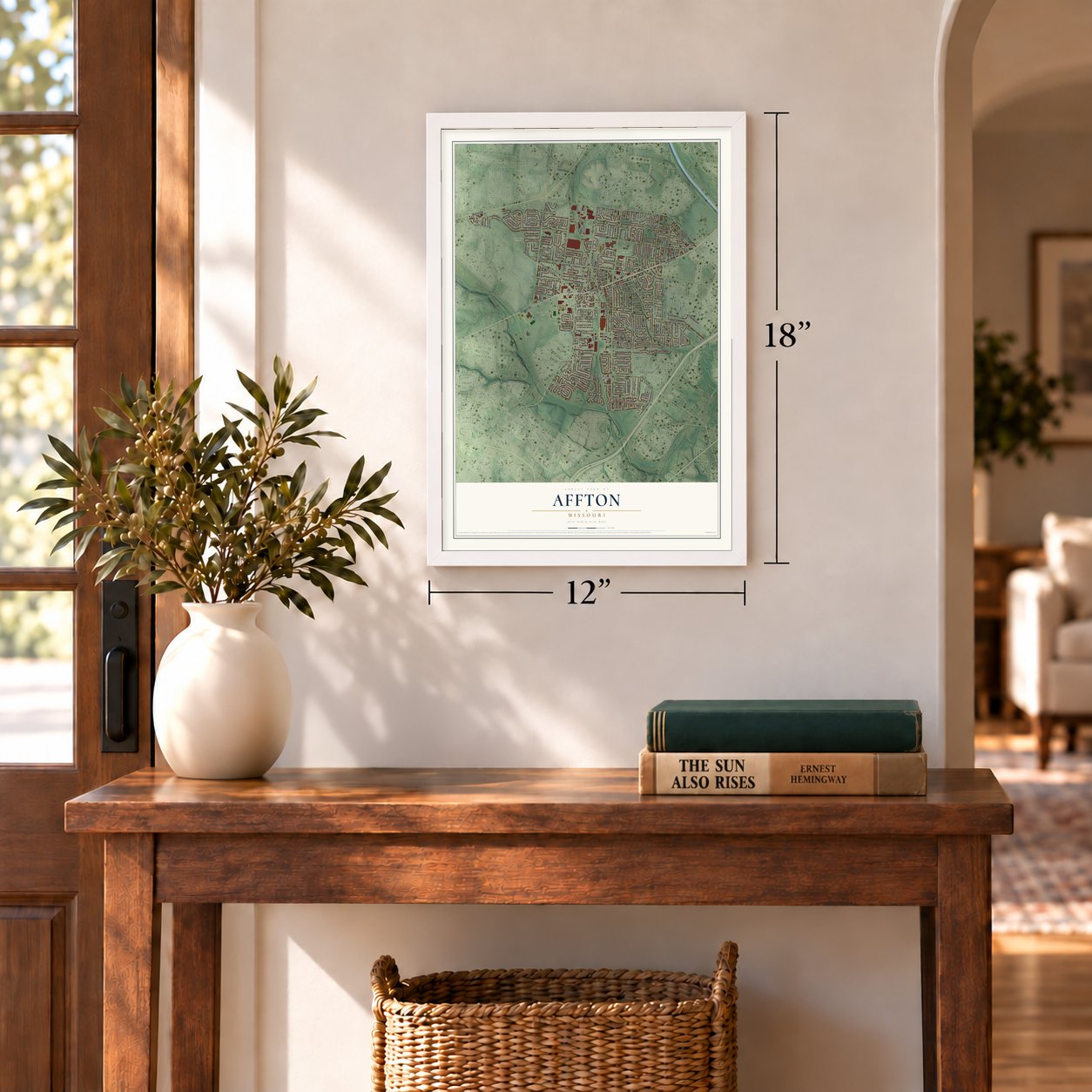
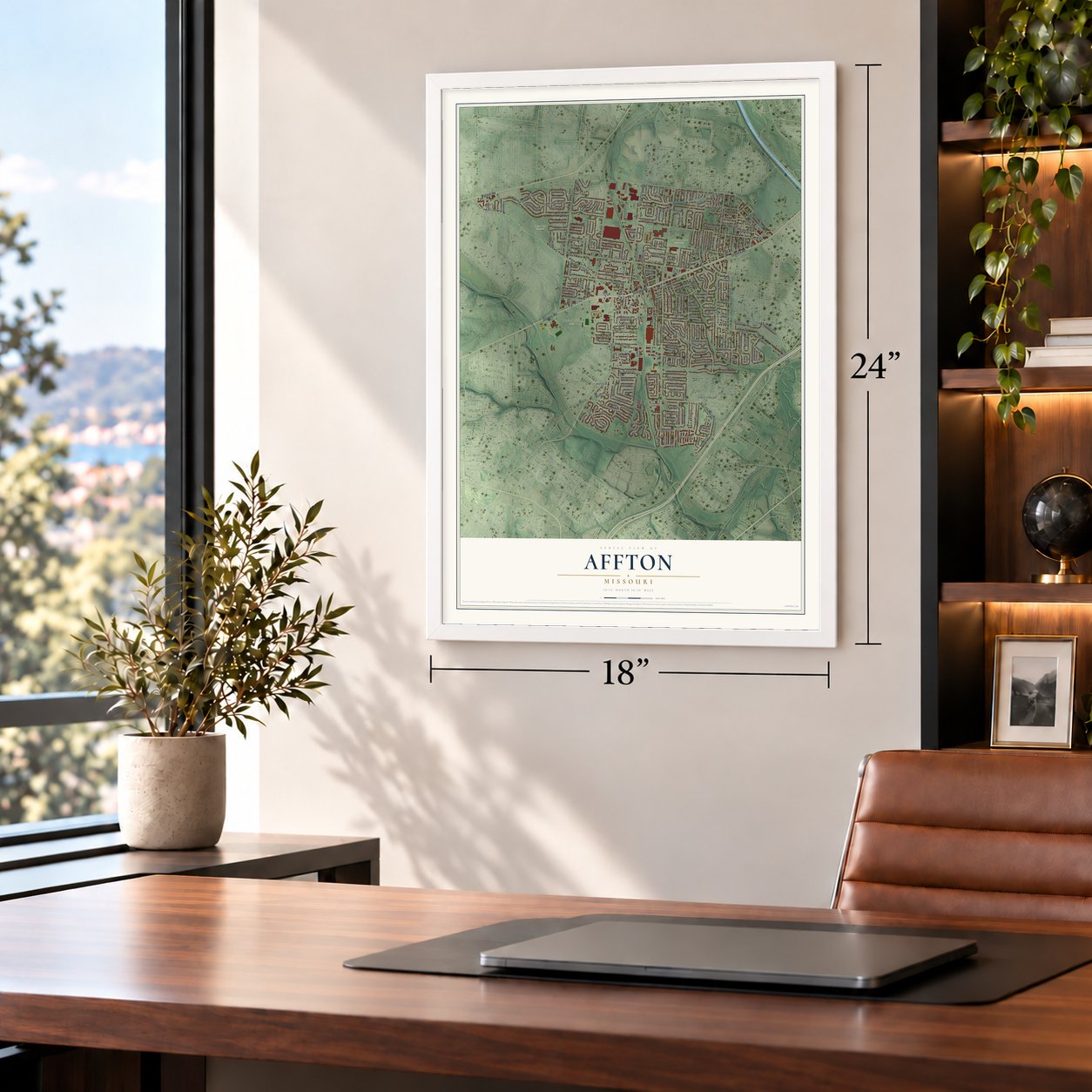
Affton, Missouri Map Art
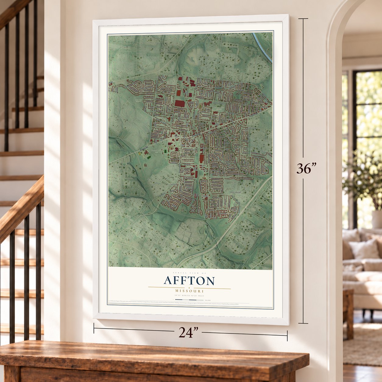
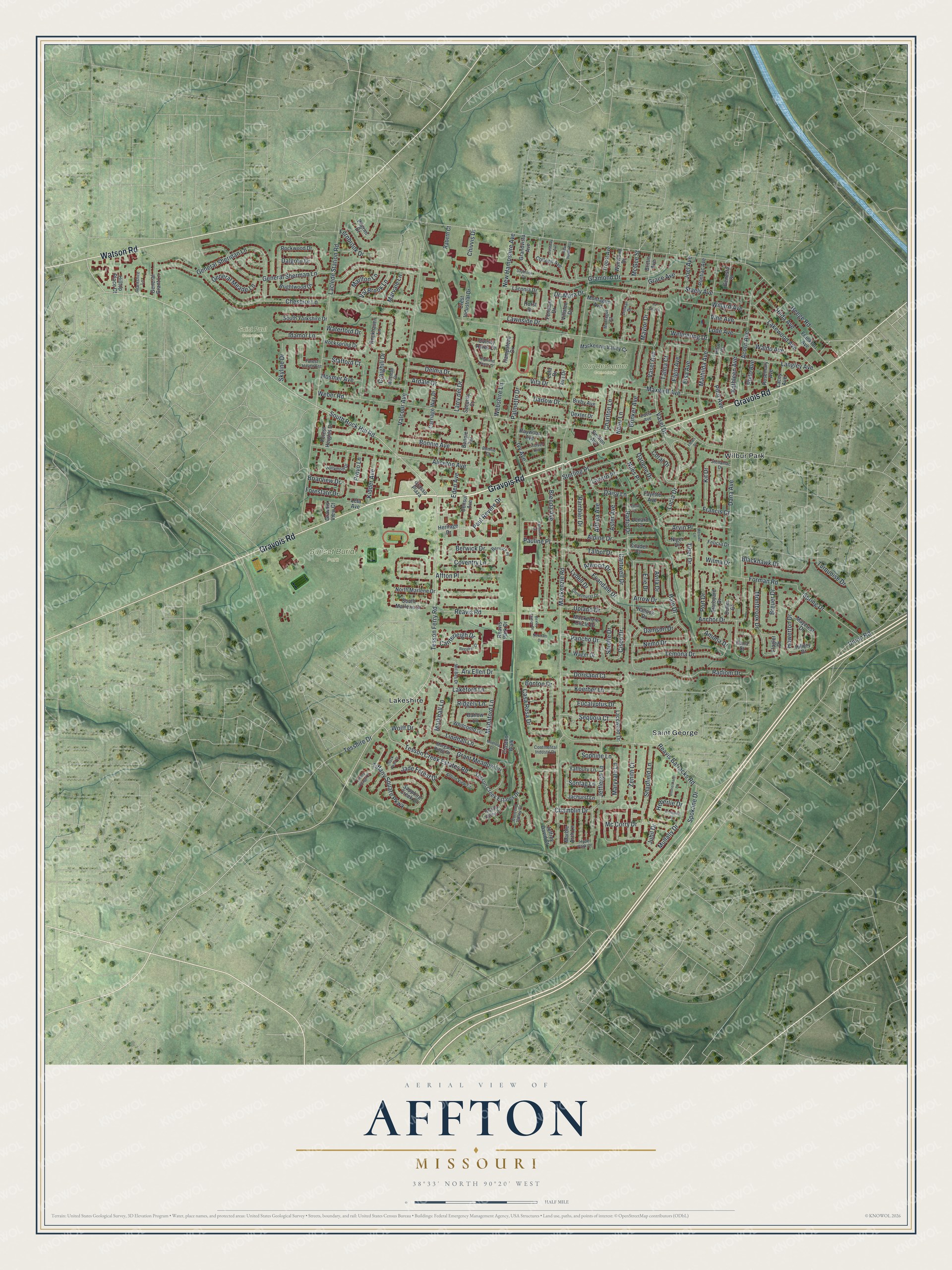
A new map of Affton, Missouri, made in 2026 and printed to order on thick archival matte paper.
12" x 18" Archival Matte Print
A Map of Home. A Work of Art.
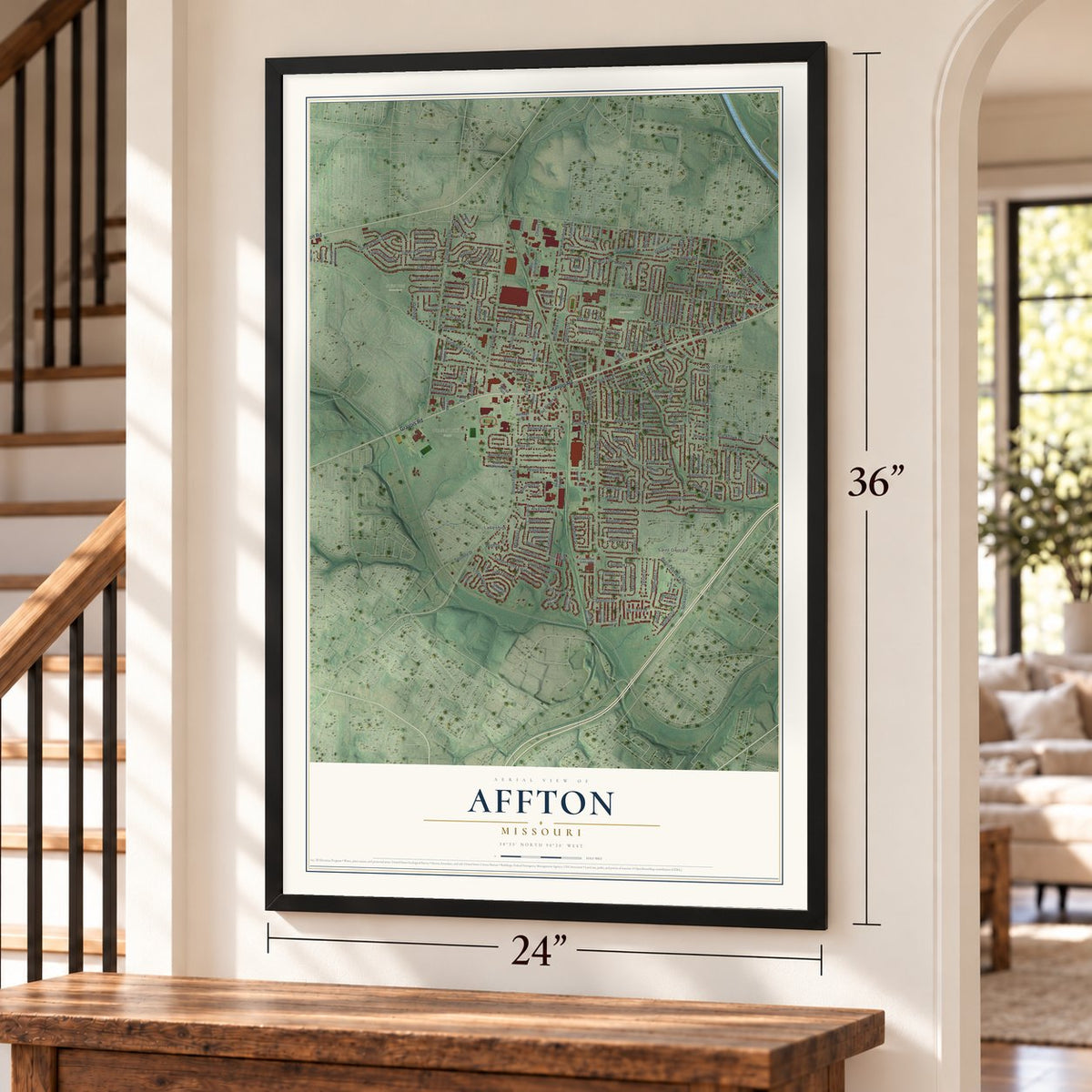
If you grew up off Gravois Road, or you still have family on a quiet street in Affton, this map is for you. Made from modern data with a vintage feel, it's a modern aerial view of Affton in St. Zoom in on the preview and look for your block.
Three ways to hang it
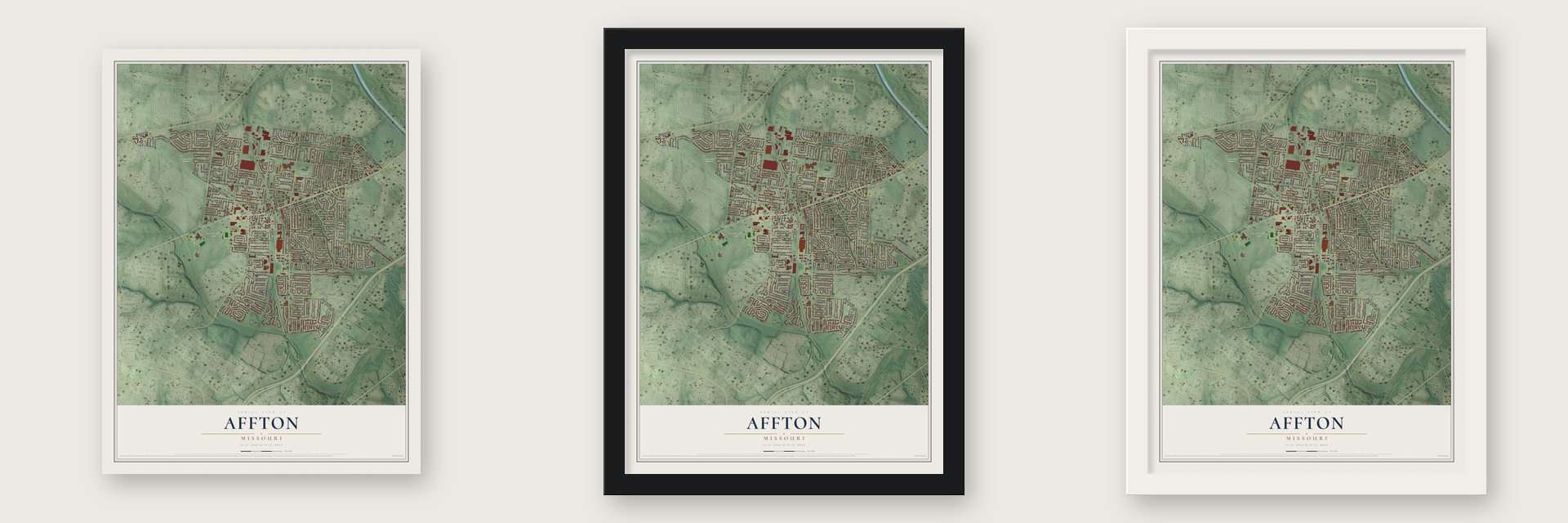
Unframed archival matte, a black wood frame or a white wood frame.
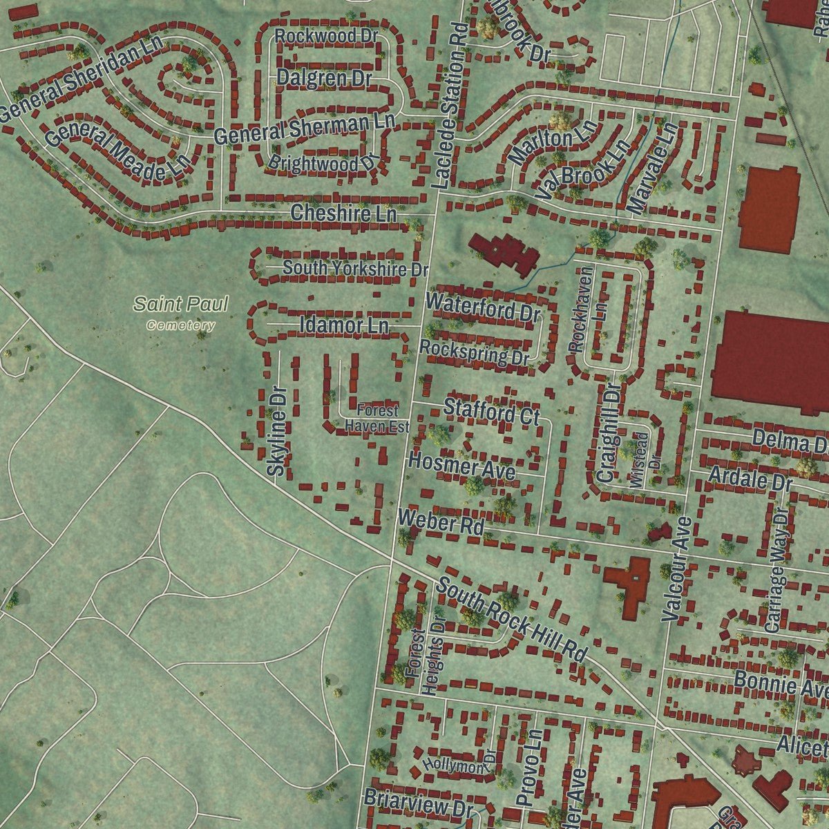
Up close
Real geography. Art worth displaying.
This map was created using accurate cartographic data and authoritative geographic sources, including the U.S. Geological Survey and the Census Bureau. The map brings together terrain, waterways, roads, and building detail. The majority of the streets are labeled, houses are accurately depicted, and the topography is derived from government sources. Combining local data with carefully composed color and shading leads to this beautifully detailed Affton artwork for your wall.
Rather than simply showing street outlines, we’ve included as many of the street names as we could reasonably fit on the map while keeping their names legible. Zoom in on the high resolution preview to see exactly what’s on the map. We truly set out to create a statement piece for anyone who loves Affton. So whether it’s for you, or a gift for someone you love, we hope this map of Affton brings back fond memories.
Read the story behind this map of Affton, Missouri from 2026.

About Affton, Missouri
In southern St. Louis County near St. Louis, Affton is classified as both an unincorporated community and a census-designated place. Its population was 20,417 in the 2020 census, and its roads include Gravois, Watson, Mackenzie, and Tesson Ferry.
- Johann George AffAffton takes its name from Johann George Aff, a farmer and merchant who came to St. Louis in 1858.
- Historic High SchoolAffton High School at 8520 Mackenzie Road joined the National Register of Historic Places in 2010.
- Land AreaThe community covers 4.6 square miles, all of it land.
- Local EducationSchools in the area belong to the Affton and Bayless districts, alongside Lutheran High School South and Holy Cross Academy.
Find your street
Names on the Affton map
Every name below is printed on this map. Look for your street, your school, the park where you played, or the pond down the road.
Places and landmarks6
- Our Redeemer Cemetery
- Saint Paul Cemetery
- Sunset Burial Park
- Lakeshire
- Saint George
- Wilbur Park
Streets and roads263
- Gravois Road
- Watson Road
- South Rock Hill Road
- Mackenzie Road
- Tesson Ferry Road
- Reavis Barracks Road
- Tesson Creek Estates Road
- Lindhall Lane
- Bonton Drive
- Madaford Lane
- Cisco Drive
- Eucalyptus Drive
- Maryvale Lane
- Heege Road
- Weber Road
- Langley Avenue
- Laclede Station Road
- Valcour Avenue
- New Hampshire Avenue
- Vasel Drive
- General Sherman Lane
- Cheshire Lane
- Dana Avenue
- Radio Drive
- Brenda Avenue
- Mathilda Avenue
- Gramond Drive
- Aliceton Avenue
- Staely Avenue
- General Sheridan Lane
Show all 263 streets
- Hale Drive
- Reavis Road
- Vasel Avenue
- Lakewood Avenue
- Radiom Drive
- Paul Revere Drive
- Jeffleigh Lane
- Affton Place
- Coventry Lane
- Maxwell Avenue
- Mullally Drive
- Pilot Avenue
- Spokane Drive
- Lucia Drive
- Lemona Drive
- Jade Forest Drive
- Alpine Drive
- Tiffany Square Parkway
- Niles Place
- Craighill Drive
- Sterling Place
- Spring Drive
- Acorn Avenue
- Bonnie Avenue
- Althea Avenue
- Arv Ellen Drive
- Coral Drive
- Chamblin Drive
- Forman Road
- Evandale Drive
- Grant Meadow Lane
- Elgin Avenue
- Stafford Court
- Rambler Drive
- Montbrook Drive
- Arvin Place
- Lode Avenue
- Mc Corry Drive
- Maylor Drive
- Willard Avenue
- Wolff Drive
- Casa Rosa Drive
- Lakeford Lane
- Lawnside Drive
- Shapfield Lane
- Tiber Drive
- Blackhawk Drive
- Kathleen Avenue
- Howerton Drive
- Pauline Place
- Dorisann Court
- Vine Avenue
- Daisy Lane
- Koerber Lane
- Sequoia Court
- Darlow Drive
- Provo Lane
- General Meade Lane
- Ivy Avenue
- Zenith Court
- Vita Drive
- Waldo Avenue
- Ardale Drive
- Delma Drive
- Berwick Drive
- Nemo Drive
- Upland Drive
- Kidder Avenue
- Tesshire Drive
- Talbot Drive
- Brinker Avenue
- Pancho Drive
- Union Road
- Anchor Drive
- Forestate Drive
- Atwood Drive
- Idamor Lane
- Aster Avenue
- Talma Court
- Lydell Drive
- Canterleigh Drive
- Fernbrook Drive
- Kit Drive
- Val Brook Lane
- Eden Avenue
- Cantwell Drive
- Markhall Lane
- Hilda Avenue
- Port Drive
- Neier Lane
- Elsa Avenue
- Webshire Lane
- Lavern Place
- Hosmer Avenue
- Marlton Lane
- Charlton Lane
- Damson Drive
- Skyline Drive
- Grace Avenue
- Turquoise Drive
- Amona Drive
- Palmetto Drive
- Philo Avenue
- Arrow Drive
- Welmering Drive
- Breuer Drive
- Larry del Drive
- Erie Drive
- Avila Drive
- Ridgely Lane
- Chivvis Drive
- Dalgren Drive
- Briarview Drive
- Marvale Lane
- Waterford Drive
- Sontag Lane
- Sophine Lane
- De Mara Drive
- Darlene Drive
- Francis Court
- Joel Avenue
- Heberlie Drive
- Shuffle Drive
- Jubil Drive
- McGee Street
- Wilma Drive
- Heritage Drive
- Frankfort Avenue
- Tesson Creek Estates Drive
- Reavis Park Drive
- Rockwood Drive
- Hampstead Drive
- Mackenzie Valley Court
- Grasso Plaza
- Gravois View Court
- Laconia Drive
- Brightwood Drive
- South Yorkshire Drive
- Rockspring Drive
- South Marlene Drive
- North Marlene Drive
- Colleen Avenue
- Jachurst Lane
- Fayette Avenue
- Marble Arch Lane
- Carriage Way Drive
- Mackenzie Circle Drive
- Brittin Avenue
- Rockhaven Lane
- General Grant Lane
- Jeffrey David Court
- Whitcomb Lane
- Lacewood Drive
- Forest Heights Drive
- Yaffbury Lane
- Crest Industrial Drive
- Pontiac Avenue
- Starboard Drive
- Troost Avenue
- Barlow Lane
- Horst Drive
- Rosemary Avenue
- Sapphire Creek Drive
- Villaton Drive
- Wynwood Drive
- Raywood Avenue
- Maycrest Drive
- Fendale Drive
- Grandvista Avenue
- Montague Avenue
- Hilltop Place Court
- Genesta Street
- Rabeth Court
- Felicia Drive
- Dexter Drive
- Lacey Avenue
- Hallock Drive
- Croston Walk
- Bixby Avenue
- Wager Drive
- Security Court
- Niger Drive
- Lenard Court
- Pilgrim Drive
- Dulles Court
- Consul Avenue
- Hillery Drive
- Colony Acres Drive
- Bonnie Terrace
- Citadel Court
- Swifton Avenue
- Leta Avenue
- Lola Drive
- Flagler Drive
- Ava Drive
- Dana Court
- Pilot Court
- Cloverhurst Drive
- Lonkar Drive
- Wil Bes Drive
- Morgan Ridge Drive
- Hollymont Drive
- Forest Haven Est
- Affton View Court
- Hyde Park Drive
- Tesson Valley Court
- Wilstead Drive
- Concord Valley Court
- Pavia Avenue
- Colver Avenue
- Stellamac Drive
- Berwick Place
- Montague Court
- Continental Industrl Drive
- Grantshire Lane
- Bonnie Court
- Highland House Court
- Bexley Station Drive
- New Haven Avenue
- Fairhurst Drive
- Ummelmann Lane
- Tiffany Village Court
- Regalton Court
- Cornwell Drive
- Crestway Avenue
- Flores Drive
- Newham Drive
- Meister Lane
- Madford Court
- Black Pearl Court
- Saybrook Drive
- La Jara Drive
- Leona Court
Names are listed as they appear on the printed map. Zoom into the product photos to find them.
The art of mapping a place
How This Map Was Made
Real places. Remarkable detail. Discover the layers that turn geographic data into a map of home.

The view from above
Aerial imagery reveals the character of the land: woodland, open fields, and the patterns of a place.

The shape of the land
Elevation data brings hills, valleys, and subtle changes in the landscape into view.

The details of home
Roads, waterways, and building footprints come together to make the map feel unmistakably local.

Geography becomes art
Considered color, shading, and typography bring the layers together in a map made for your wall.


Process illustrated with Mendon, Massachusetts. Aerial imagery: USDA NAIP. Terrain: USGS 3D Elevation Program. Map details and finished artwork: KNOWOL.
The Details
About This Print
Choose an archival matte print, or a black or white Ayous wood frame. The archival matte print is unframed.
Select your size and finish above to see the matching product image and price.
Materials & Craftsmanship
A contemporary map with the character of a classic atlas, printed on archival matte paper. Optional frames are made from Ayous wood.
Your printed map does not include the watermark shown in the full-map preview.
Shipping & Delivery
Free shipping within the United States. Every print is made to order in the USA.
Buying a gift? Add a note in your cart and we'll include it. We never put prices in the package.
Prints ship within 2 to 3 business days. Allow 7 to 10 days total from ordering for delivery. Timing may vary during holidays or periods of high order volume.
Read our shipping policy.
Returns and damaged prints
Each print is made to order. Change-of-mind refunds are not available after production.
If your print arrives damaged, misprinted or incorrect, contact support@knowol.com within 30 days of receiving it. Include your order number, photos and a description of the issue.
Read our full refund and replacement policy. For questions about your order, email support@knowol.com.
Find your town
Looking for another city?
Find a map of home in our Missouri collection.
Nearby
Maps of towns near Affton
Know someone from one of these towns? Their map makes a great gift.
 Lakeshire
, Missouri
From $39.99See the map
 Wilbur Park
, Missouri
From $39.99See the map
 St. George
, Missouri
From $39.99See the map
More maps nearby: Marlborough, Grantwood Village, Green Park, Bella Villa and Lemay.