
Search for another town
Free U.S. delivery 7 to 10 days after you order
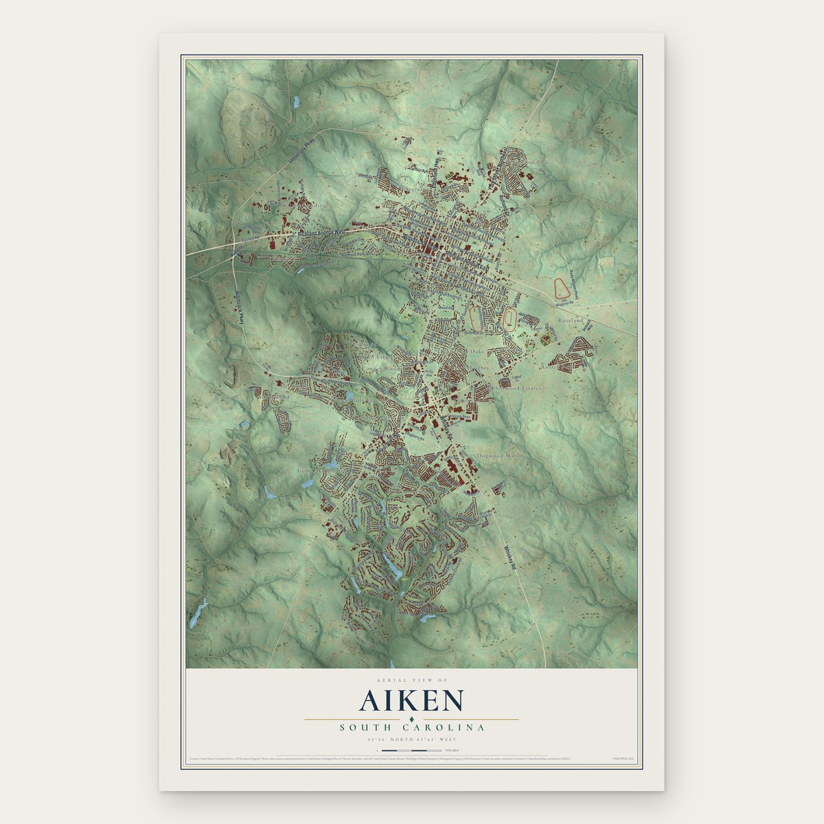
Aiken, South Carolina Map Art
Building by building, with labeled streets and shaded relief.
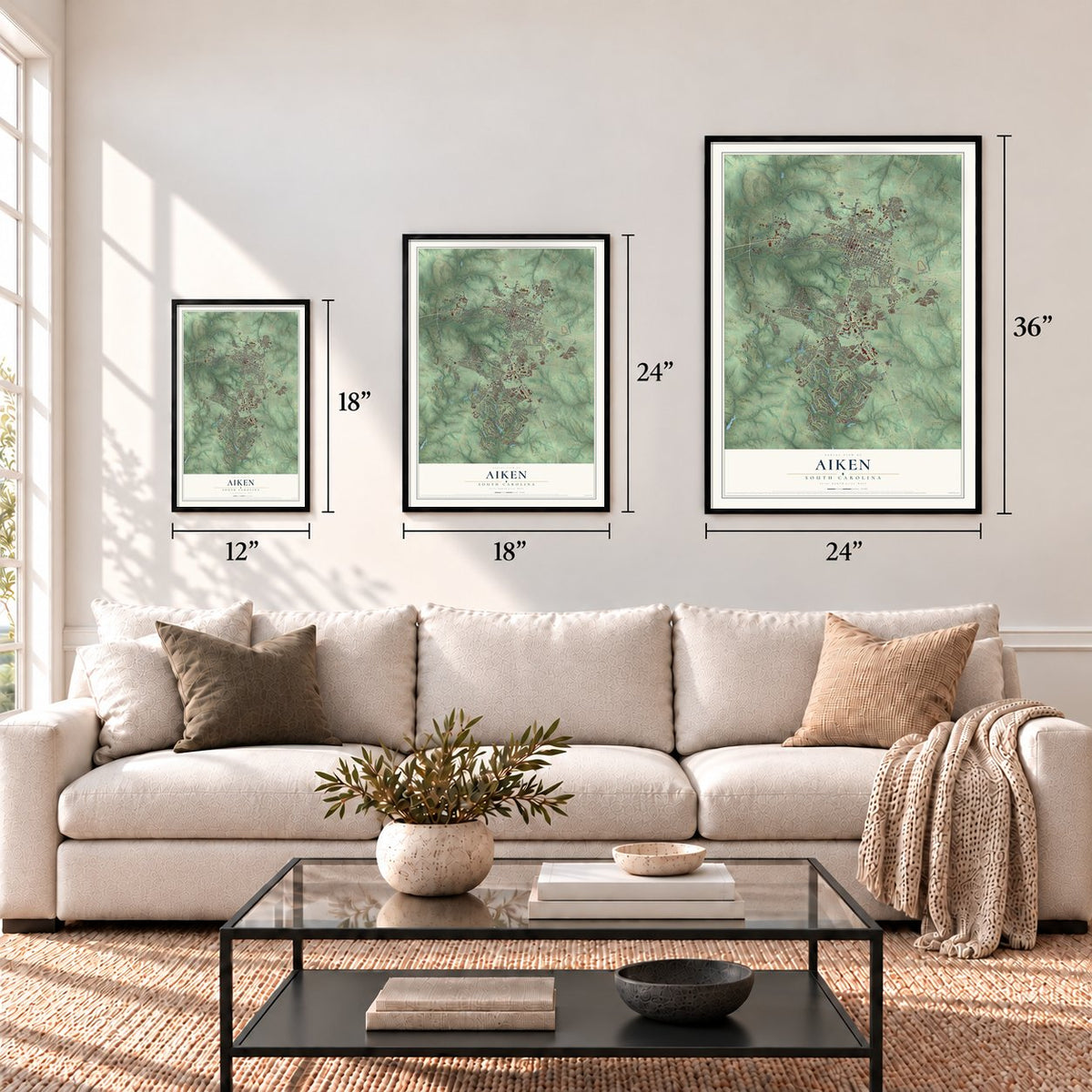
12" x 18" Archival Matte Print
A Map of Home. A Work of Art.
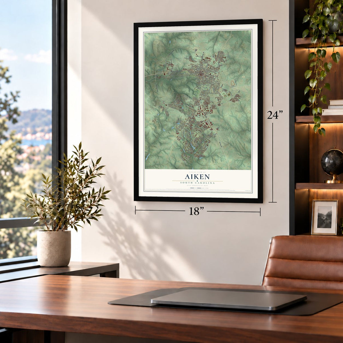
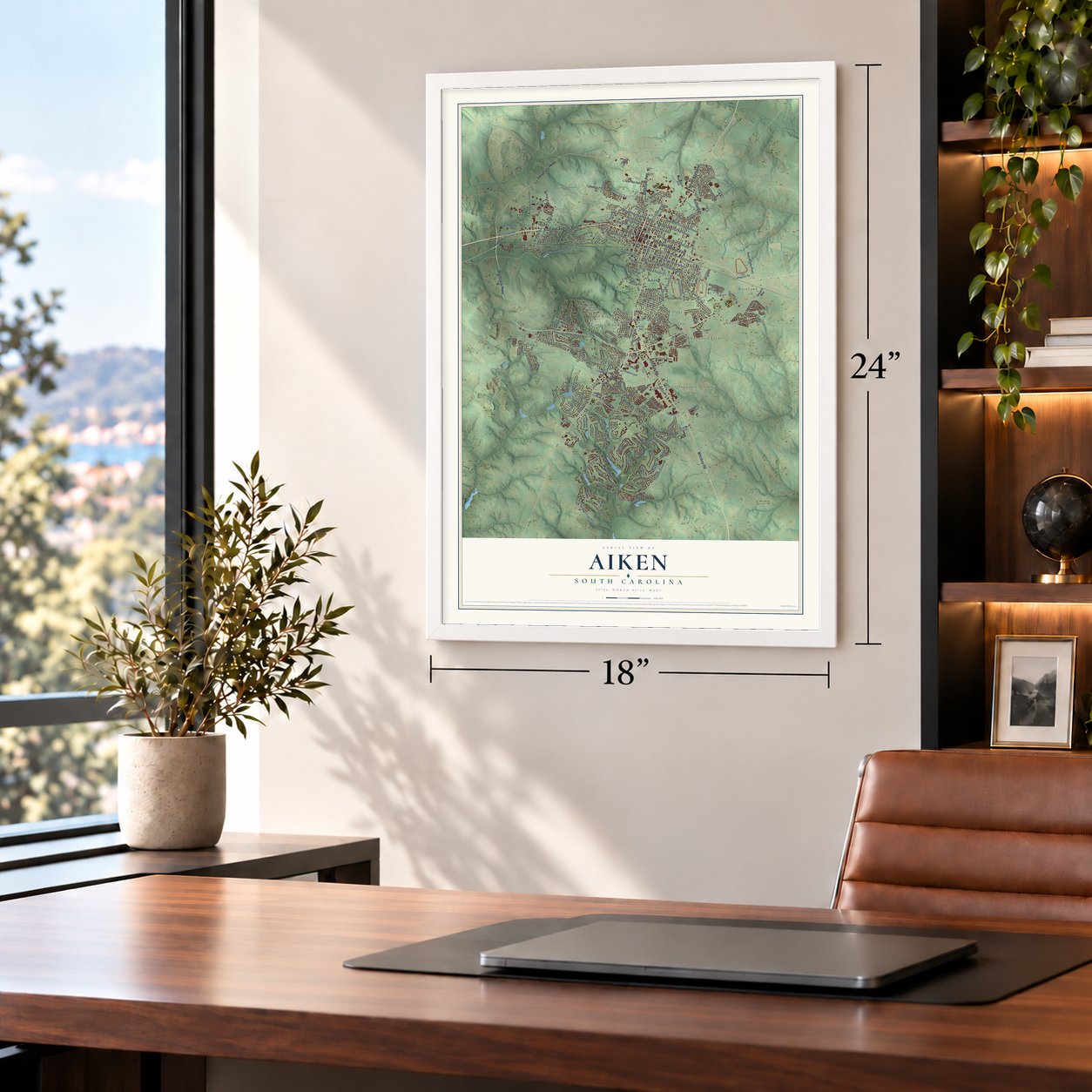
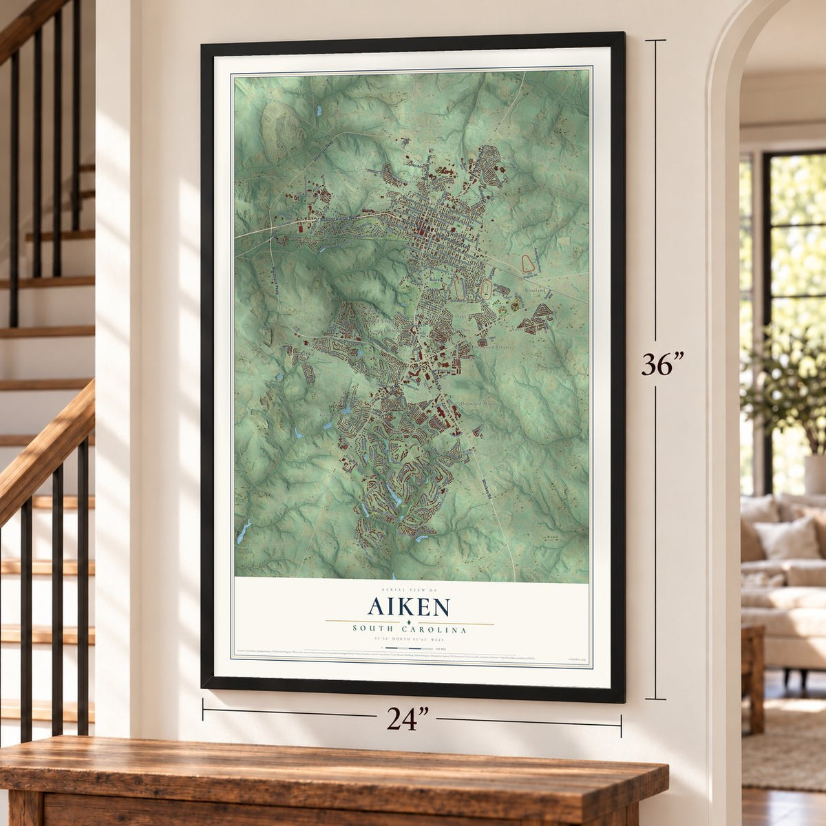
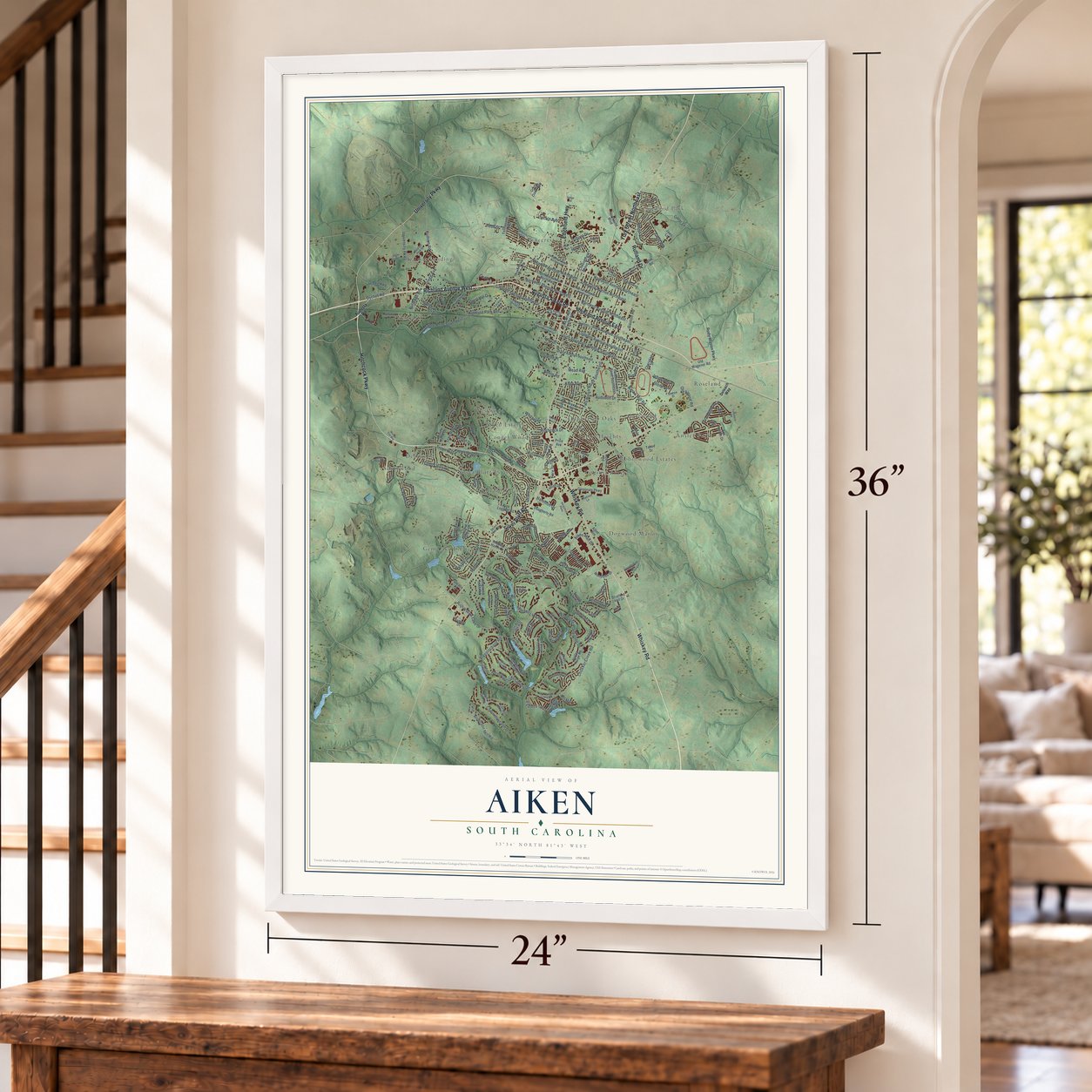
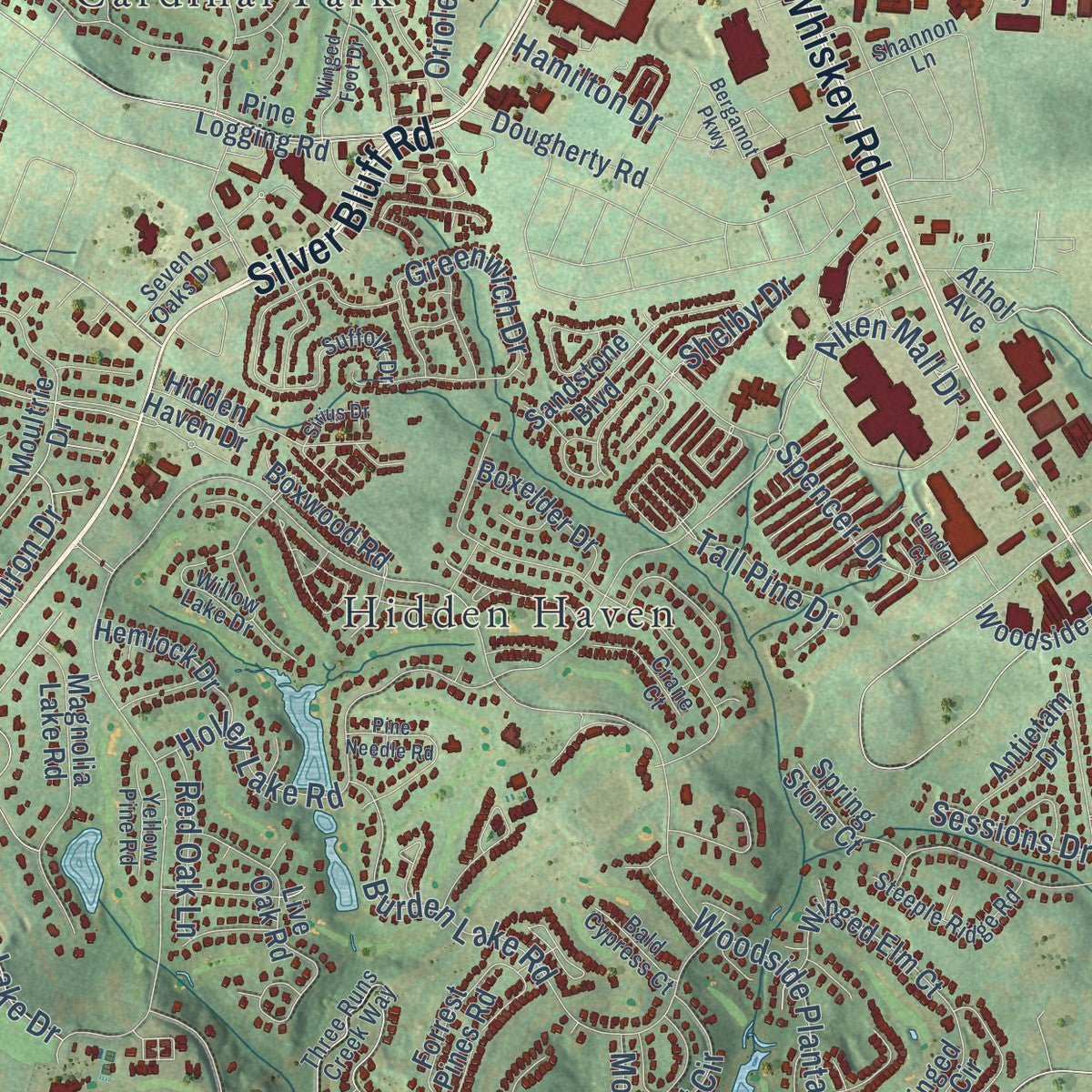
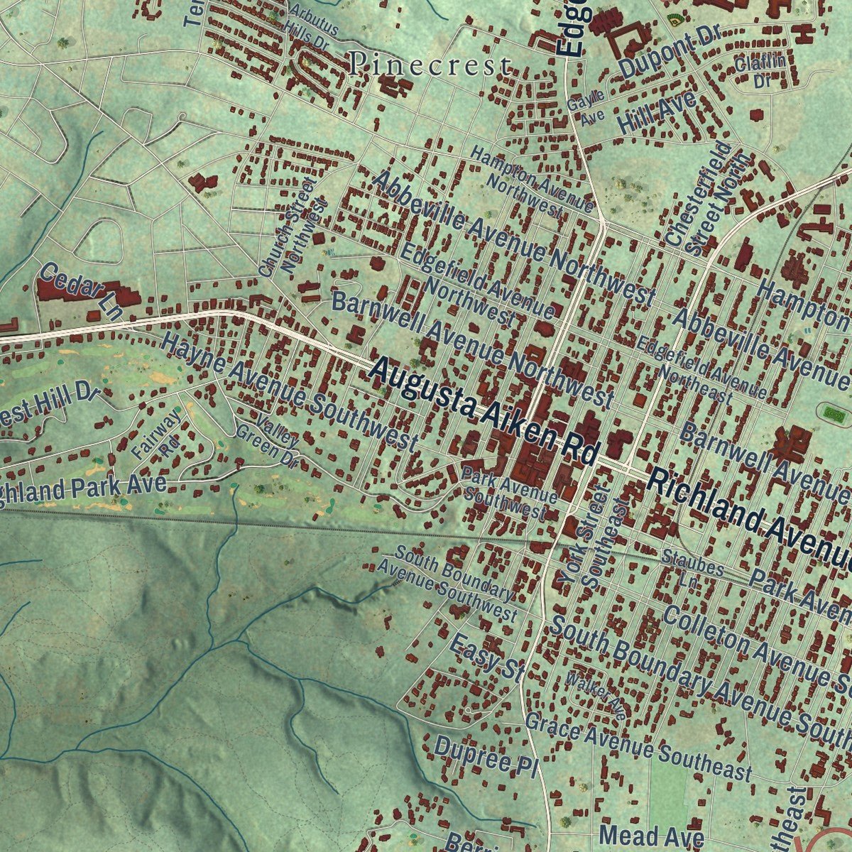
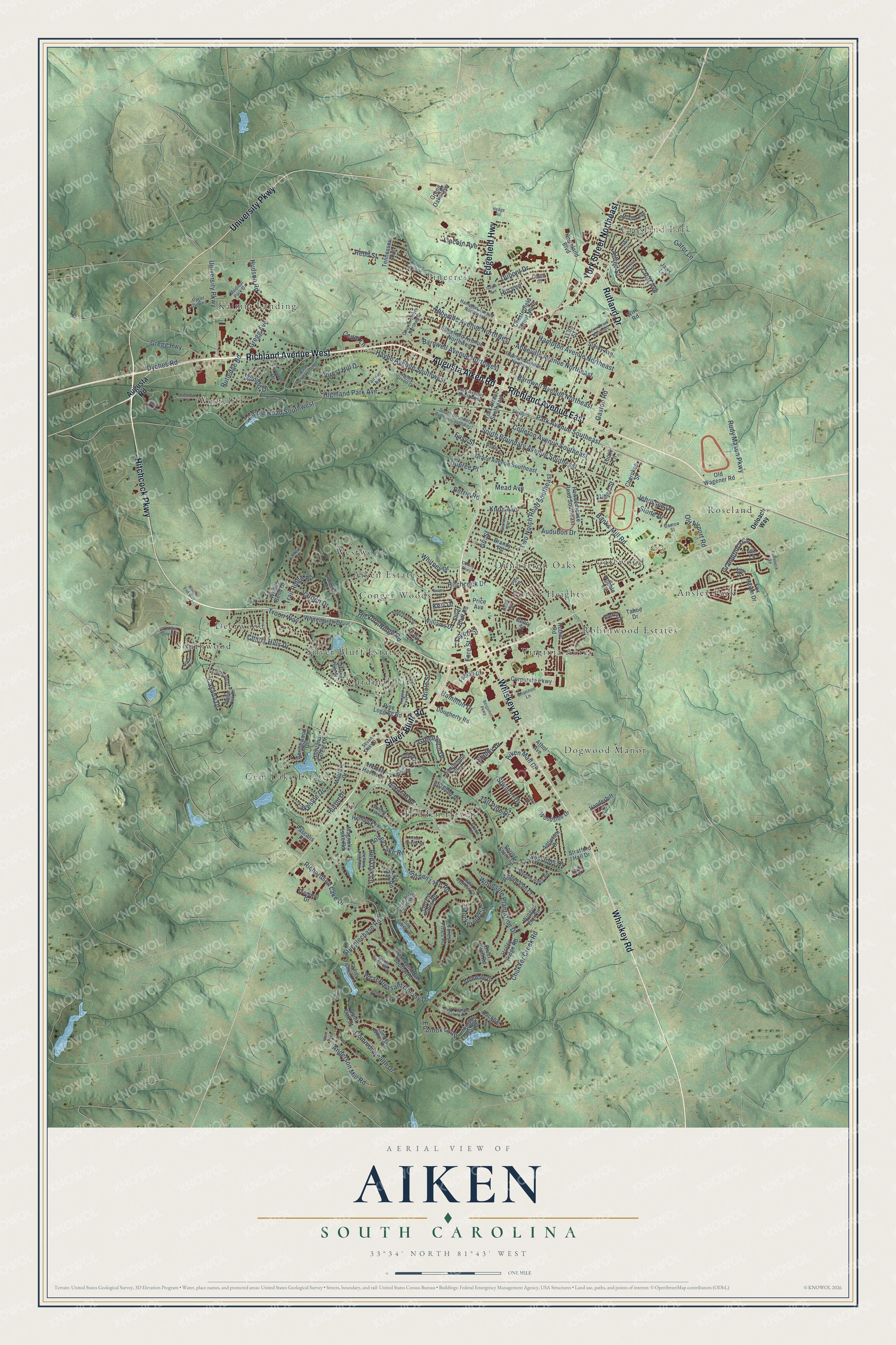
Explore Aiken, South Carolina from a whole new perspective. Created using aerial imagery and detailed geographic data, this map captures Aiken building by building, with labeled streets, familiar landmarks, and shaded topographical relief that highlights the natural contours of the landscape.
Combining modern data with the timeless character of a vintage atlas, this map is just as interesting up close as it is beautiful on the wall. Whether you grew up in Aiken, spent memorable years there, or call it home today, this unique map is a great way to celebrate a place that means something to you. Zoom in on the preview to look for your street, and then order a print to put your memories on the wall.
Three ways to hang it
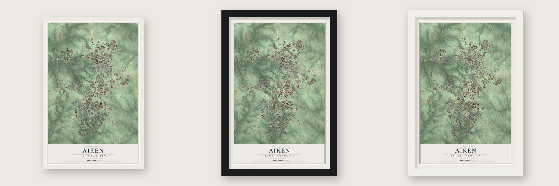
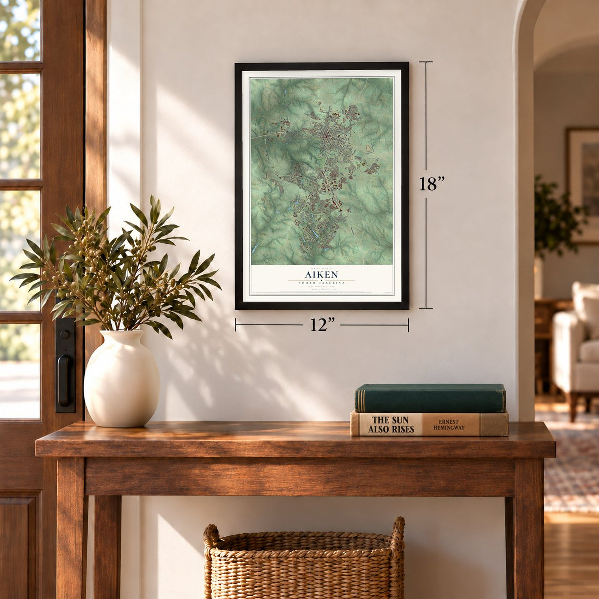
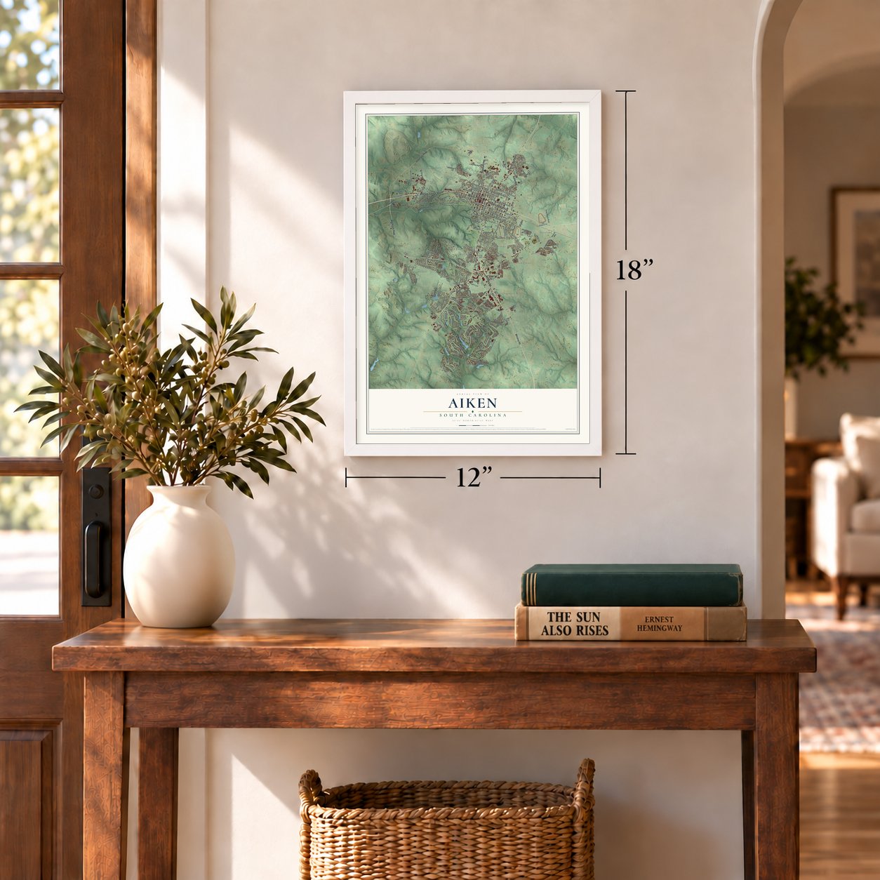
Unframed archival matte, a black wood frame or a white wood frame.
Up close
Geography Worth Displaying
This map was created using accurate cartographic data and authoritative geographic sources, including the U.S. Geological Survey and the Census Bureau. The map brings together terrain, waterways, roads, and building detail. The majority of the streets are labeled, houses are accurately depicted, and the topography is derived from government sources. Combining local data with carefully composed color and shading leads to this beautifully detailed Aiken artwork for your wall.
Rather than simply showing street outlines, we’ve included as many of the street names as we could reasonably fit on the map while keeping their names legible. Zoom in on the high resolution preview to see exactly what’s on the map. We truly set out to create a statement piece for anyone who loves Aiken. So whether it’s for you, or a gift for someone you love, we hope this map of Aiken brings back fond memories.
Read the story behind this map of Aiken, South Carolina from 2026.

Find your street
Names on the Aiken map
Every name below is printed on this map. Look for your street, your school, the park where you played, or the pond down the road.
Places and landmarks22
- Crosland Park
- Citizens Park
- Aiken Estates
- Ansley Park
- Cardinal Park
- Conger Woods
- Deerwood
- Dogwood Manor
- Dunbarton Oaks
- Forest Heights
- Gatewood
- Gem Lake Estates
Show all 22 places
- Hidden Haven
- Kalmia Landing
- Pinecrest
- Robinwood Estates
- Roseland
- Silver Bluff Estates
- Southwood
- Virginia Acres
- Westcliff
- Westwood
Streets and roads211
- Richland Avenue West
- Hitchcock Parkway
- York Street Northeast
- University Parkway
- Rutland Drive
- Richland Avenue East
- Whiskey Road
- Silver Bluff Road
- Edgefield Highway
- Augusta Aiken Road
- Highland Park Avenue
- Park Avenue Southeast
- Chukker Creek Road
- Shelby Drive
- Gin Street
- Lakeside Drive
- Woodside Plantation Drive
- Colleton Avenue Southeast
- Dibble Road Southwest
- Barnwell Avenue Northeast
- Steeplechase Road
- Two Notch Road Southeast
- Abbeville Avenue Northwest
- South Boundary Avenue Southeast
- Abbeville Avenue Northeast
- Barnwell Avenue Northwest
- Banks Mill Road
- Burden Lake Road
- Rudy Mason Parkway
- Hampton Avenue Northeast
Show all 211 streets
- Troon Way
- Cherry Hills Drive
- Hayne Avenue Southwest
- West Pleasant Colony Drive
- Greenwich Drive
- Holley Lake Road
- Equinox Loop
- Lincoln Avenue
- Aiken Mall Drive
- Alfred Street
- Richardson Lake Drive
- Audubon Drive
- Grandiflora Circle
- Dupont Drive
- Sessions Drive
- Oriole Street
- Anderson Mill Road
- Gregg Highway
- Forest Hill Drive
- Casaba Drive
- Trail Ridge Road
- Jehossee Drive
- Huron Drive
- Mead Avenue
- Mockernut Circle
- Gregg Avenue
- Hudson Road
- Commonwealth Drive
- Hickory Ridge Road
- Gaston Road
- Spencer Drive
- Summit Drive
- Cedar Lane
- Hitchcock Drive
- Berrie Road
- Croft Avenue
- Tall Pine Drive
- Rutledge Road
- Varden Drive
- Whitney Drive
- Stone Drive
- Old Airport Road
- Dyches Road
- Knox Avenue
- Red Oak Lane
- Redd Street
- Gator Lane
- Hamilton Drive
- Taylor Street
- Kerr Drive
- Fore Street
- Dupree Place
- Hill Avenue
- Easy Street
- Augusta Road
- Wire Road
- Cody Lane
- Highland Forest Drive
- Powderhouse Road Southeast
- Pine Logging Road
- Edgefield Avenue Northwest
- Moultrie Drive
- Fox Haven Drive
- York Street Southeast
- Grace Avenue Southeast
- Chesterfield Street North
- Laurel Drive
- Springwood Drive
- Live Oak Road
- Magnolia Lake Road
- Foxhound Run Southwest
- Forest Pines Road
- Brandy Road
- Athol Avenue
- Corporate Parkway
- Tahoe Drive
- Winged Elm Circle
- Tremont Drive
- Winged Elm Court
- Whitemarsh Drive
- Forrest Pines Road
- Old Wagener Road
- Dougherty Road
- Williams Drive
- Boxwood Road
- Henry Street
- Hemlock Drive
- Boxelder Drive
- Hodges Bay Drive
- Tennessee Avenue
- Hidden Haven Drive
- Holley Ridge Road
- Woodside Drive
- Antietam Drive
- Northland Boulevard
- Spring Stone Court
- Buckhar Lane
- Vanderbilt Drive
- Sierra Drive
- Robin Road
- River Birch Road
- Archdale Drive
- Sandstone Boulevard
- Locke Lane
- Cherokee Street
- Stratford Hall Drive
- Pebble Lane
- Pascalis Place
- Quiet Oak Court
- Sundy Avenue
- Fabian Drive
- Grand Oaks Way
- Gilbert Street
- Price Avenue
- Ilex Lane
- Woods Bend Drive
- 117th Street
- Jaws Lane
- Inlet Court
- Deloach Way
- Park Avenue Southwest
- Staubes Lane
- Aberdeen Drive
- Valley Green Drive
- Hampton Avenue Northwest
- Edgefield Avenue Northeast
- Suffolk Drive
- Willow Lake Drive
- Three Runs Creek Way
- Medical Park Drive
- South Boundary Avenue Southwest
- Steeple Ridge Road
- Church Street Northwest
- Morton Avenue
- Grassy Creek Lane
- Summer Winds Circle
- White Cedar Way
- Seven Oaks Drive
- Oakland Hills Street
- Shannon Lane
- Crane Court
- Damon Street
- Fairway Road
- Pacer Downs
- Brookline Drive
- Yellow Pine Road
- Bald Cypress Court
- Sea Grass Lane
- Atlas Drive
- Water Oak Drive
- Claflin Drive
- Pine Drive
- Khaki Court
- East Rollingwood Road
- Bellreive Drive
- Arbutus Hills Drive
- Bergamot Parkway
- Wise Creek Lane
- Evans Road
- Colony Parkway
- East Pleasant Colony Drive
- Kemper Downs Drive
- Alpine Drive
- Winged Foot Drive
- Golden Oak Drive
- Pine Needle Road
- Rhone Street
- Gayle Avenue
- Westcliff Street
- Cottonwood Drive
- Edrie Street Northeast
- Oleander Drive
- Walker Avenue
- Toolebeck Road
- Hahn Street
- Bluet Loop
- Cornish Street
- Woods End Way
- Sirius Drive
- London Court
- Hedge Road
Names are listed as they appear on the printed map. Zoom into the product photos to find them.
About Aiken, South Carolina
Aiken is a city of 32,025 people and the seat of Aiken County. It grew up at the end of the South Carolina Canal and Railroad Company's line, which ran from Charleston toward the Savannah River, and it was incorporated on December 19, 1835. The railroad's first president, William Aiken, gave the town its name. Aiken was a planned town, and many streets in its historic district are named for other places in the state, such as Abbeville, Edgefield, Horry and York.
Aiken first belonged to the Edgefield District. As more people moved in, Aiken County was formed in 1871 from parts of several neighboring counties. Three African-American lawmakers, Prince Rivers, Samuel J. Lee and Charles D. Hayne, were among its first commissioners. Lee served as speaker of the South Carolina House and was the first black man admitted to the state's bar.
“The railroad tracks that reached Hamburg from Charleston in 1833 passed through sandy farmland, whose elevation of 515 feet soon lured sweltering Charlestonians in the summer and established Aiken’s image as a health resort.”
- The Battle of AikenDuring Sherman's March to the Sea, Hugh Judson Kilpatrick led a Union cavalry corps through South Carolina. His men reached Aiken County by February 5 and fought the cavalry of Joseph Wheeler. The Confederates won the fight, and today it is staged again at the Battle of Aiken Reenactment.
- The Aiken Winter ColonyIn the late 19th century, rich families from the Northeast began spending their winters in Aiken. Thomas Hitchcock Sr. and William C. Whitney started the Aiken Winter Colony, and later winter residents included Madeleine Astor, William Kissam Vanderbilt, Allan Pinkerton and W. Averell Harriman. Thomas Hitchcock and his wife Louise also founded the Palmetto Golf Club.
- Steeplechase since 1930The Aiken Steeplechase Association was founded in 1930. The Imperial Cup is run every March, the Holiday Cup follows in October, and the races draw more than 30,000 people. In 1977 the city honored horses trained at the Aiken Training Track by opening a museum and hall of fame for thoroughbred racing.
- The Savannah River PlantOn November 30, 1950, the Atomic Energy Commission announced that it would build a plant near Aiken to make fuel for thermonuclear weapons. The government bought the homes and businesses of Ellenton for the site, and its people moved to New Ellenton, built about 8 miles north, or to nearby towns. The plant became the Savannah River Site in 1989.
- A pioneering doctorMatilda Evans, of Aiken, became the first African-American woman in South Carolina to hold a license to practice medicine.
Keep exploring South Carolina
Aiken is one of 540 South Carolina towns we've mapped. Every dot on the map is a print of its own.
The search covers every state, South Carolina first.
Near Aiken
Order 2 or more town maps and save 10%. Shown in the size and finish you picked above, so they hang as a set.
- Chukker Creek 12" x 18" / Archival Matte Print $39.99
- Warrenville 12" x 18" / Archival Matte Print $39.99
- Gloverville 12" x 18" / Archival Matte Print $39.99
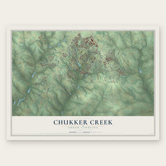
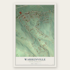
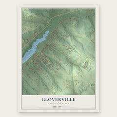
More maps nearby: Graniteville, Midland Valley, Langley, Oakwood and Burnettown.
The art of mapping a place
How This Map Was Made
Real places. Remarkable detail. Discover the layers that turn geographic data into a map of home.

The view from above
Aerial imagery reveals the character of the land: woodland, open fields, and the patterns of a place.

The shape of the land
Elevation data brings hills, valleys, and subtle changes in the landscape into view.

The details of home
Roads, waterways, and building footprints come together to make the map feel unmistakably local.

Geography becomes art
Considered color, shading, and typography bring the layers together in a map made for your wall.


Process illustrated with Mendon, Massachusetts. Aerial imagery: USDA NAIP. Terrain: USGS 3D Elevation Program. Map details and finished artwork: KNOWOL.
The Details
About This Print
Choose an archival matte print, or a black or white Ayous wood frame. The archival matte print is unframed.
Select your size and finish above to see the matching product image and price.
Materials & Craftsmanship
A contemporary map with the character of a classic atlas, printed on archival matte paper. Optional frames are made from Ayous wood.
Your printed map does not include the watermark shown in the full-map preview.
Shipping & Delivery
Free shipping within the United States. Every print is made to order in the USA.
Buying a gift? Add a note in your cart and we'll include it. We never put prices in the package.
Prints ship within 2 to 3 business days. Allow 7 to 10 days total from ordering for delivery. Timing may vary during holidays or periods of high order volume.
Read our shipping policy.
Returns and damaged prints
Each print is made to order. Change-of-mind refunds are not available after production.
If your print arrives damaged, misprinted or incorrect, contact support@knowol.com within 30 days of receiving it. Include your order number, photos and a description of the issue.
Read our full refund and replacement policy. For questions about your order, email support@knowol.com.