
Search for another town
Free U.S. delivery 7 to 10 days after you order
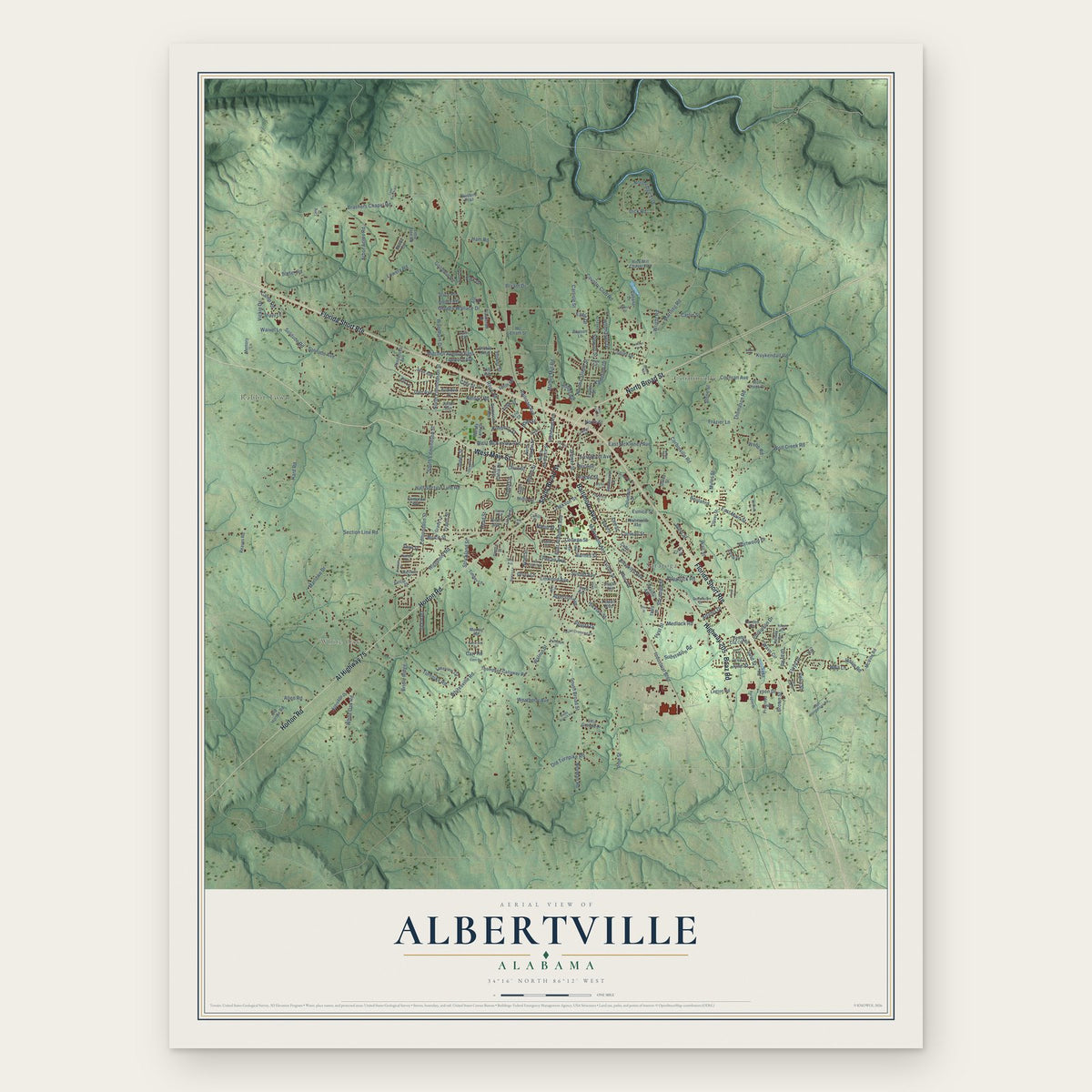
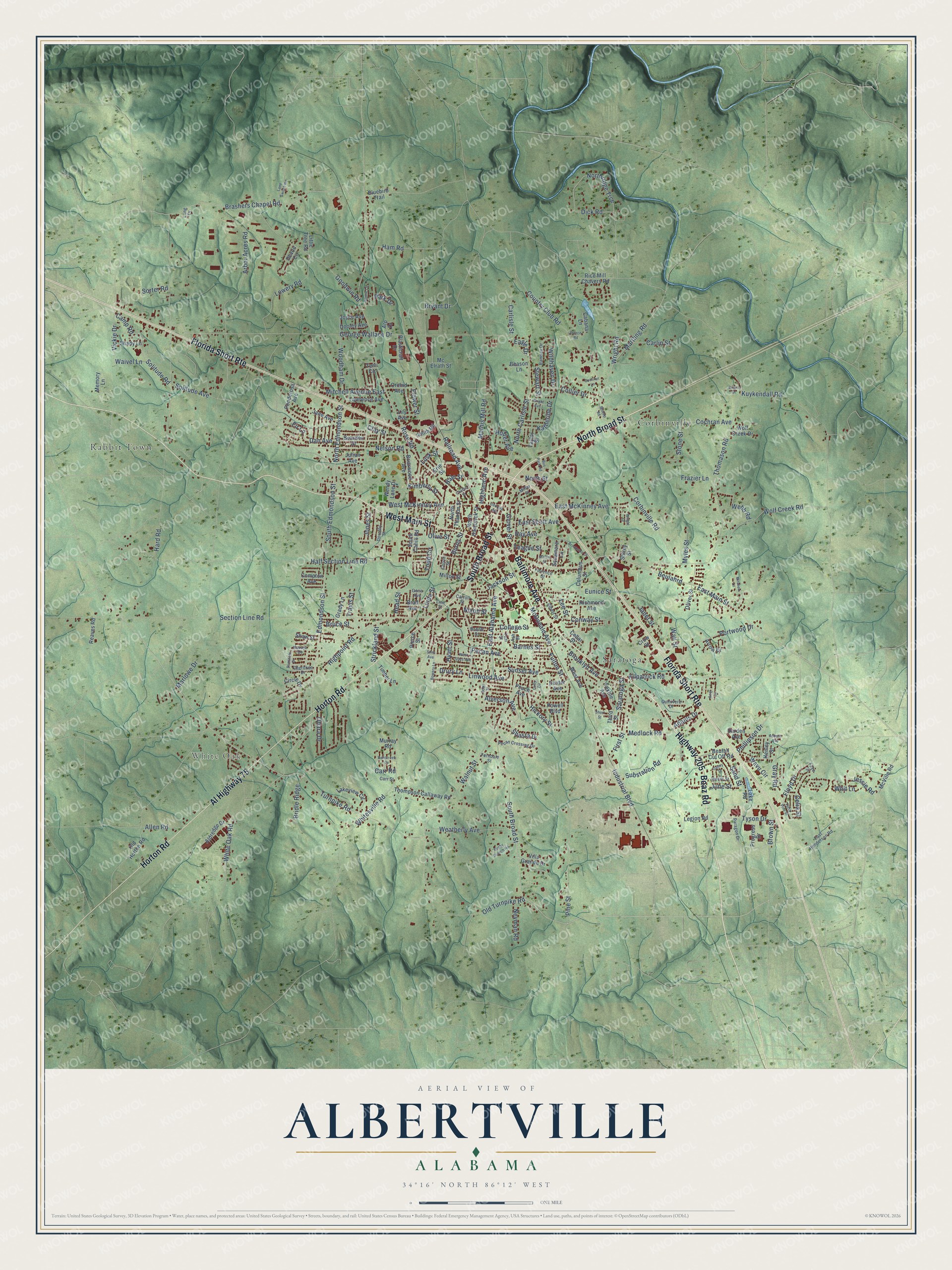
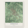
Albertville, Alabama Map Art
Building by building, with labeled streets and shaded relief.
12" x 18" Archival Matte Print
A Map of Home. A Work of Art.
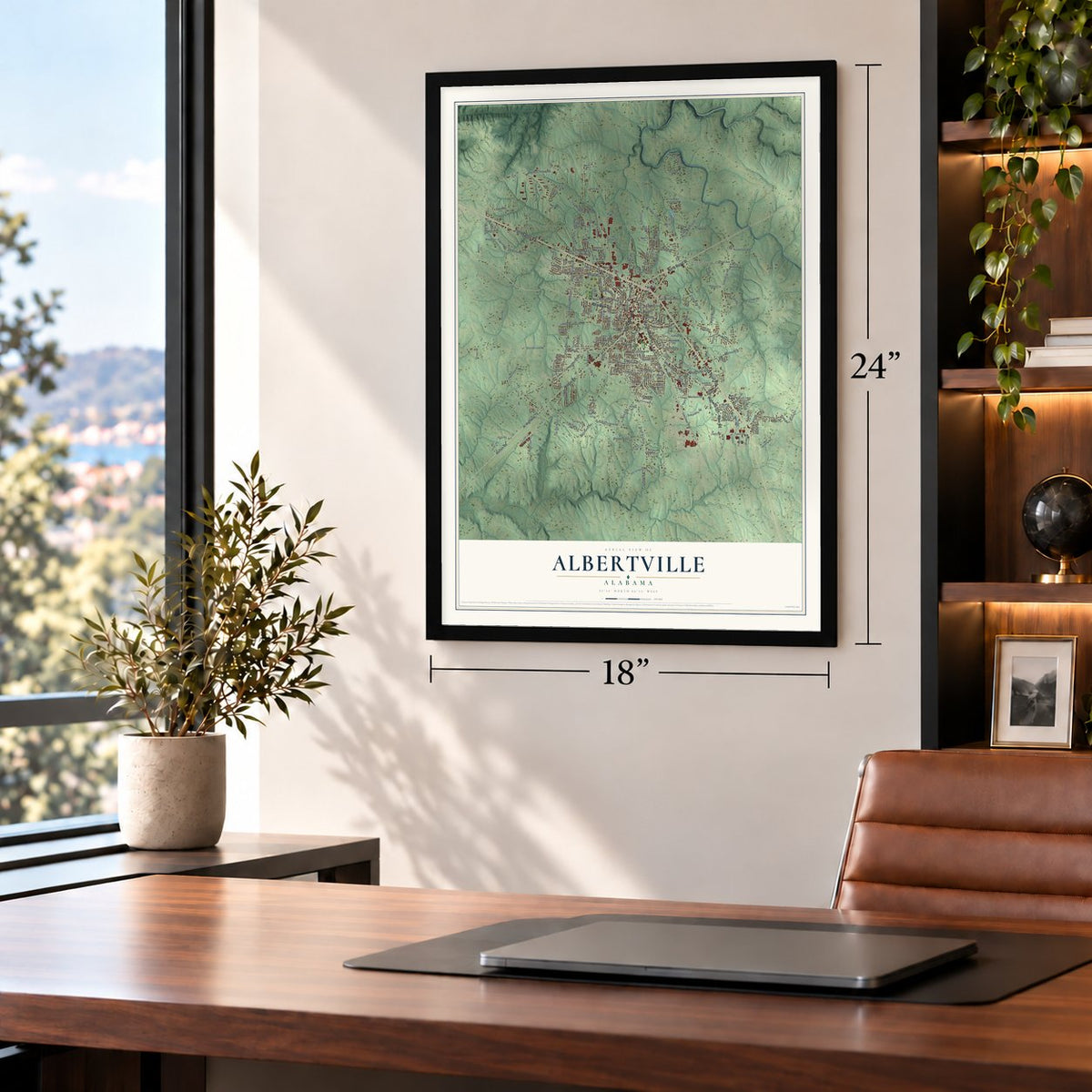
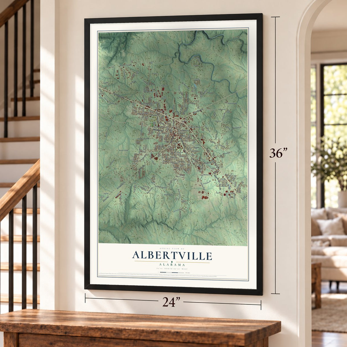
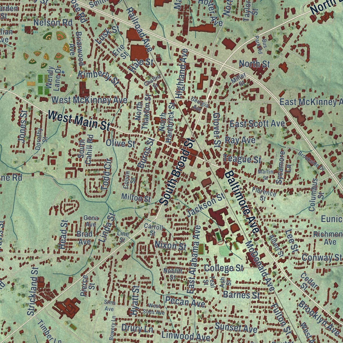
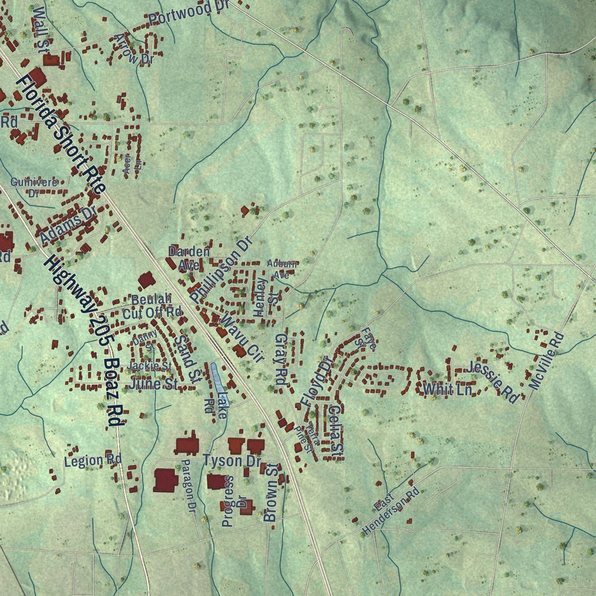
Explore Albertville, Alabama from a whole new perspective. Created using aerial imagery and detailed geographic data, this map captures Albertville building by building, with labeled streets, familiar landmarks, and shaded topographical relief that highlights the natural contours of the landscape.
Combining modern data with the timeless character of a vintage atlas, this map is just as interesting up close as it is beautiful on the wall. Whether you grew up in Albertville, spent memorable years there, or call it home today, this unique map is a great way to celebrate a place that means something to you. Zoom in on the preview to look for your street, and then order a print to put your memories on the wall.
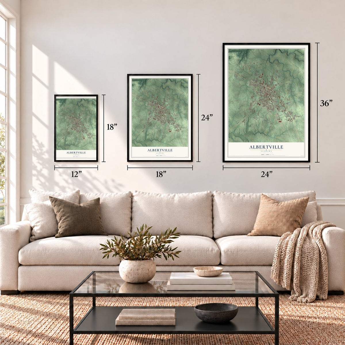
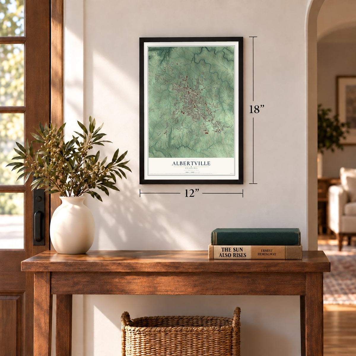
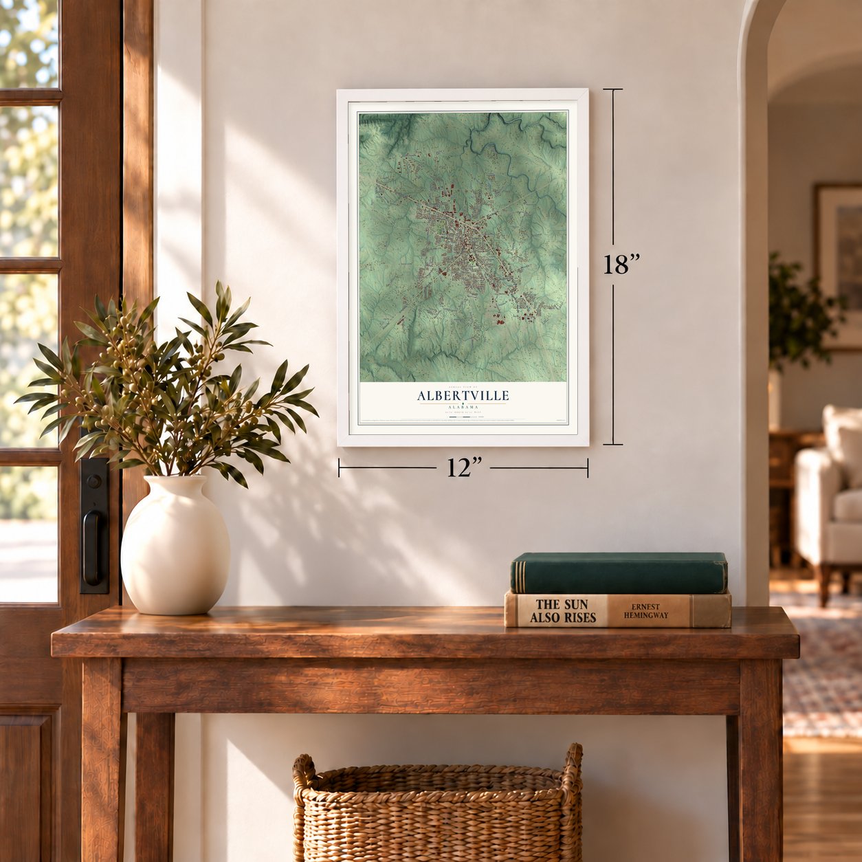
Three ways to hang it
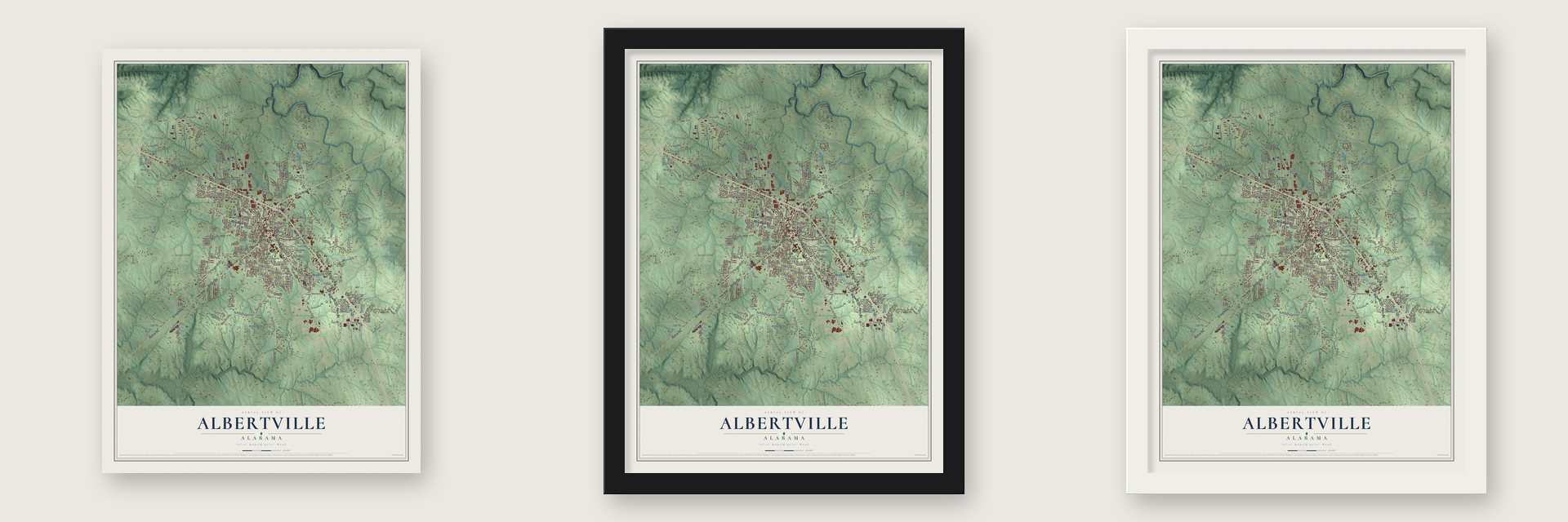
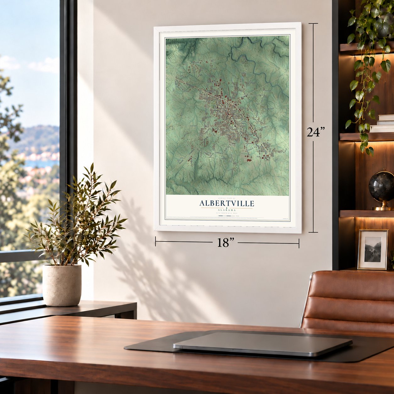
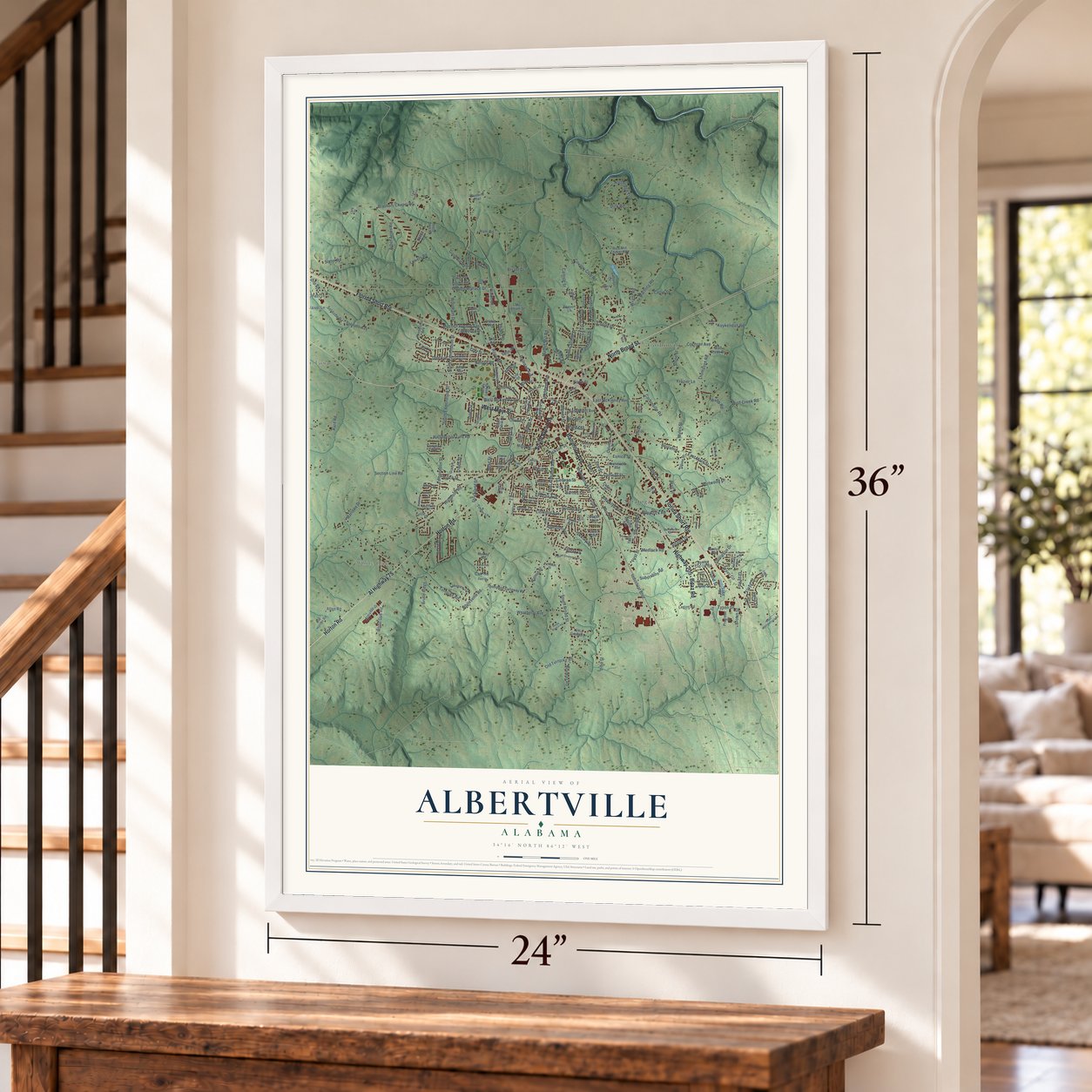
Unframed archival matte, a black wood frame or a white wood frame.
Up close
Geography Worth Displaying
This map was created using accurate cartographic data and authoritative geographic sources, including the U.S. Geological Survey and the Census Bureau. The map brings together terrain, waterways, roads, and building detail. The majority of the streets are labeled, houses are accurately depicted, and the topography is derived from government sources. Combining local data with carefully composed color and shading leads to this beautifully detailed Albertville artwork for your wall.
Rather than simply showing street outlines, we’ve included as many of the street names as we could reasonably fit on the map while keeping their names legible. Zoom in on the high resolution preview to see exactly what’s on the map. We truly set out to create a statement piece for anyone who loves Albertville. So whether it’s for you, or a gift for someone you love, we hope this map of Albertville brings back fond memories.
Read the story behind this map of Albertville, Alabama from 2026.
Find your street
Names on the Albertville map
Every name below is printed on this map. Look for your street, your school, the park where you played, or the pond down the road.
Places and landmarks4
- White Oak
- Corbinville
- Rabbit Town
- Saratoga
Streets and roads254
- Baltimore Avenue
- North Broad Street
- Boaz Road
- South Broad Street
- Highway 205
- Florida Short Route
- Al Highway 75
- Horton Road
- West Main Street
- Beulahrd
- East Main Street
- East McKinney Avenue
- Saratoga Street
- North Carlisle Street
- Brashers Chapel Road
- Industrial Boulevard
- Vickie Drive
- East Alabama Avenue
- West McKinney Avenue
- Head Street
- Glover Street
- Flower Street
- Edmondson Street
- Rose Road
- Section Line Road
- Walnut Street
- Turnpike Road
- Railroad Avenue
- North Edmondson Street
- Thomason Road
Show all 254 streets
- Pine Street
- Martling Road
- George Wallace Drive
- Whitesville Road
- Highpoint Road
- Northridge Trce
- Corbinville Road
- Half Section Line Road
- South Edmondson Street
- Country Club Road
- Medlock Road
- Goodwin Road
- Solitude Road
- Portwood Drive
- Dick Road
- Solitude Avenue
- Arbor Acres Road
- Mathis Mill Road
- Phillipson Drive
- Nelson Road
- White Oak Road
- Substation Road
- Hickory Street
- Kilpatrick Road
- Ohara Drive
- Barnes Street
- Kuykendall Road
- Cochran Avenue
- First Street
- McDonald Avenue
- Wolf Creek Road
- Conway Street
- Weatherly Avenue
- Frazier Lane
- Fulton Street
- Eunice Street
- Collier Drive
- Jackson Street
- Woodham Drive
- Highland Avenue
- College Street
- Mitchell Avenue East
- Lowery Road
- Burns Street
- Sunset Avenue
- Gray Road
- Brown Street
- Floyd Drive
- Brooklyn Avenue
- Carlisle Street
- Ham Road
- Wright Road
- Wildhaven Drive
- Ray Avenue
- Webb Road
- Stone Street
- Wavu Circle
- Bridle Ridge
- Janet Street
- Katherine Drive
- Celia Street
- Marlowe Drive
- Alverson Avenue
- Old Turnpike Road
- Wall Street
- East Scott Avenue
- Todd Circle
- Sorter Road
- Pecan Avenue
- Linwood Avenue
- Kimberly Street
- Bruce Street
- Allen Road
- Carlin Street
- Dan Avenue
- Strickland Street
- Neyman Road
- Jessie Road
- Teague Street
- Sand Street
- Tyson Drive
- Waivel Lane
- Drury Lane
- Jones Street
- June Street
- Clay Street
- Adams Drive
- Stewart Street
- Holter Avenue
- Linda Street
- Myles Street
- Nixon Street
- Hyatt Street
- Bryant Drive
- Fir Lane
- Shasta Drive
- Hard Road
- Camp Road
- North Street
- Eagle Drive
- Travis Street
- Carr Road
- Olive Street
- Hale Street
- Lusk Street
- Lee Street
- Whit Lane
- Park Drive
- Third Street
- Old Horton Road
- Thompson Callaway Road
- Columbus Street
- Lakeview Circle
- Richmond Avenue
- Textile Avenue
- Rice Mill Chavers Road
- Oliver Street
- Ponderosa Avenue
- Legion Road
- Peach Avenue
- Plasticraft Drive
- South Cahill Road
- Lawrence Avenue
- Powell Boulevard
- Devon Circle
- Aldredge Drive
- Beulah Cut Off Road
- Taylor Street
- Briarwood Avenue
- Wendy Lane Drive
- Timber Lane
- Circle Drive
- North Thaxton Street
- Terri Circle
- West Avenue
- Darden Avenue
- Bluebird Trail
- McVille Road
- Villa Grande Drive
- North Hambrick Street
- Jane Avenue
- Lake Road
- Progress Drive
- Dooley Avenue
- Sycamore Lane
- Orchid Avenue
- Brad Avenue
- Julian Avenue
- Shady Lane
- Bearden Street
- Reaves Road
- Mc Elrath Street
- Joyce Avenue
- Grady Lane
- Shaw Street
- Compton Avenue
- Wolf Creek Drive
- Smith Road
- Arrow Drive
- Beason Lane
- Little Tree Road
- Cabana Lane
- Milton Street
- Memory Lane
- Cedar Street
- Henley Street
- Lily Avenue
- Atp Drive
- Pierce Street
- Shirey Street
- Murray Road
- Crow Street
- Dexter Avenue
- Erie Street
- Navajo Drive
- Paragon Drive
- Miller Street
- Albert Street
- Noblitt Street
- Pecan Crossing Drive
- East Henderson Road
- Teal Street
- Dorothy Street
- Ramsey Drive
- Jackie Street
- Cherokee Drive
- Guinivere Drive
- Ferndale Street
- Florence Street
- Carr Street
- Carroll Street
- Colvin Street
- Ash Street
- Faye Street
- Gena Avenue
- Lang Drive
- Line Street
- Seminole Drive
- West Sims Avenue
- Bobo Street
- Busby Branch Road
- Auburn Avenue
- Cochran Lane
- Coby Circle
- Wright Avenue
- Brookside Drive
- Georgia Avenue
- Bowery Lane
- Bentcreek Drive
- Alpine Lane
- Martin Street
- Lane Switch Road
- Terra Pine Street
- Danny Street
- Wright Drive
- Bishop Road
- Short Street
- Bus Park Road
- Mitchem Lane
- Pierce Road
- Chaffin Street
- Colvin Drive
- Acer Lane
- Sims Avenue
Names are listed as they appear on the printed map. Zoom into the product photos to find them.
About Albertville, Alabama
Albertville is a city of 22,386 people in Marshall County, high on Sand Mountain. It grew where several Native American trails met, near the line between the Cherokee and Creek nations, and Hernando de Soto's army is believed to have passed through on one of those trails in 1540. Settlers from the eastern states came in the 1840s and 1850s, while the land still belonged to the Indians.
The town took its name from Thomas A. Albert, a settler from Georgia who led the community until his death in 1876. Cicero Miller opened the first store in a log cabin and became postmaster in 1858, and the Methodists put up Jones Chapel, the first church, in 1856. Albertville had 165 people in 1880 and was incorporated on February 18, 1891, with W. M. Coleman as its first mayor. By 1910 its 1,544 people made it the largest community in Marshall County.
“The destruction of property here is, I think, unprecedented in the history of the state. I have never seen anything like it, so complete and absolute as to leave little of worth in the path of the storm through town.”
- The Great Cyclone of 1908Around 4:10 p.m. on April 24, 1908, a tornado tore through Albertville and left almost nothing standing. Accounts put the dead at 35. Help came mostly by train from Gadsden, carrying doctors, nurses and the Queen City Guards, a militia company led by Col. R.A. Mitchell, who reported the damage to Governor B.B. Comer. When Albertville rebuilt, it added water service and electricity.
- Why the teams are AggiesIn 1893 the Alabama Legislature called for an agricultural college in every congressional district, and Albertville beat out its rivals for the Seventh District's school, which the state built in 1894. The Great Depression hit it hard, and in 1936 it was handed to the city board of education. It grew into Albertville High School, whose teams still play as the Aggies.
- A courthouse on the mountainTennessee River floods often kept people on Sand Mountain from reaching the county courthouse in Guntersville. So starting around 1909, Albertville held court twice a year for its end of the county, and in 1911 it built a large wooden courthouse. That building was torn down in 1935.
- The railroad depotThe Nashville, Chattanooga and St. Louis Railway built Albertville's depot in the early 1890s. Trains kept it busy until the 1940s, when passenger service ended, and the Albertville Depot joined the National Register in 1975.
- Fire Hydrant Capital of the WorldAfter World War II the state picked Albertville for north Alabama's first commercial poultry processing plant, and cotton farmers turned to chickens they could sell all year. In 1975 the Mueller Company moved its fire hydrant works here from Chattanooga, Tennessee. To mark its one millionth hydrant, Mueller set up a 4,800-pound nickel-plated hydrant in town.
Keep exploring Alabama
Albertville is one of 675 Alabama towns we've mapped. Every dot on the map is a print of its own.
The search covers every state, Alabama first.
Near Albertville
Order 2 or more town maps and save 10%. Shown in the size and finish you picked above, so they hang as a set.
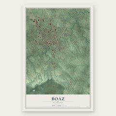
- Boaz 12" x 18" / Archival Matte Print $39.99
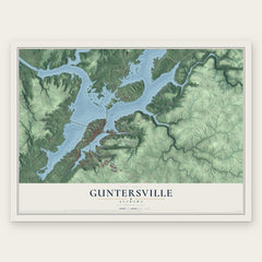
- Guntersville 12" x 18" / Archival Matte Print $39.99
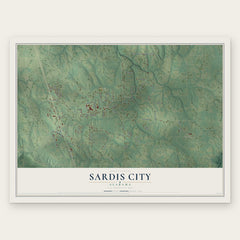
- Sardis City 12" x 18" / Archival Matte Print $39.99
More maps nearby: New Union, Douglas, Asbury, Claysville and Bristow Cove.
The art of mapping a place
How This Map Was Made
Real places. Remarkable detail. Discover the layers that turn geographic data into a map of home.

The view from above
Aerial imagery reveals the character of the land: woodland, open fields, and the patterns of a place.

The shape of the land
Elevation data brings hills, valleys, and subtle changes in the landscape into view.

The details of home
Roads, waterways, and building footprints come together to make the map feel unmistakably local.

Geography becomes art
Considered color, shading, and typography bring the layers together in a map made for your wall.


Process illustrated with Mendon, Massachusetts. Aerial imagery: USDA NAIP. Terrain: USGS 3D Elevation Program. Map details and finished artwork: KNOWOL.
The Details
About This Print
Choose an archival matte print, or a black or white Ayous wood frame. The archival matte print is unframed.
Select your size and finish above to see the matching product image and price.
Materials & Craftsmanship
A contemporary map with the character of a classic atlas, printed on archival matte paper. Optional frames are made from Ayous wood.
Your printed map does not include the watermark shown in the full-map preview.
Shipping & Delivery
Free shipping within the United States. Every print is made to order in the USA.
Buying a gift? Add a note in your cart and we'll include it. We never put prices in the package.
Prints ship within 2 to 3 business days. Allow 7 to 10 days total from ordering for delivery. Timing may vary during holidays or periods of high order volume.
Read our shipping policy.
Returns and damaged prints
Each print is made to order. Change-of-mind refunds are not available after production.
If your print arrives damaged, misprinted or incorrect, contact support@knowol.com within 30 days of receiving it. Include your order number, photos and a description of the issue.
Read our full refund and replacement policy. For questions about your order, email support@knowol.com.