
Search for another town
Free U.S. delivery 7 to 10 days after you order
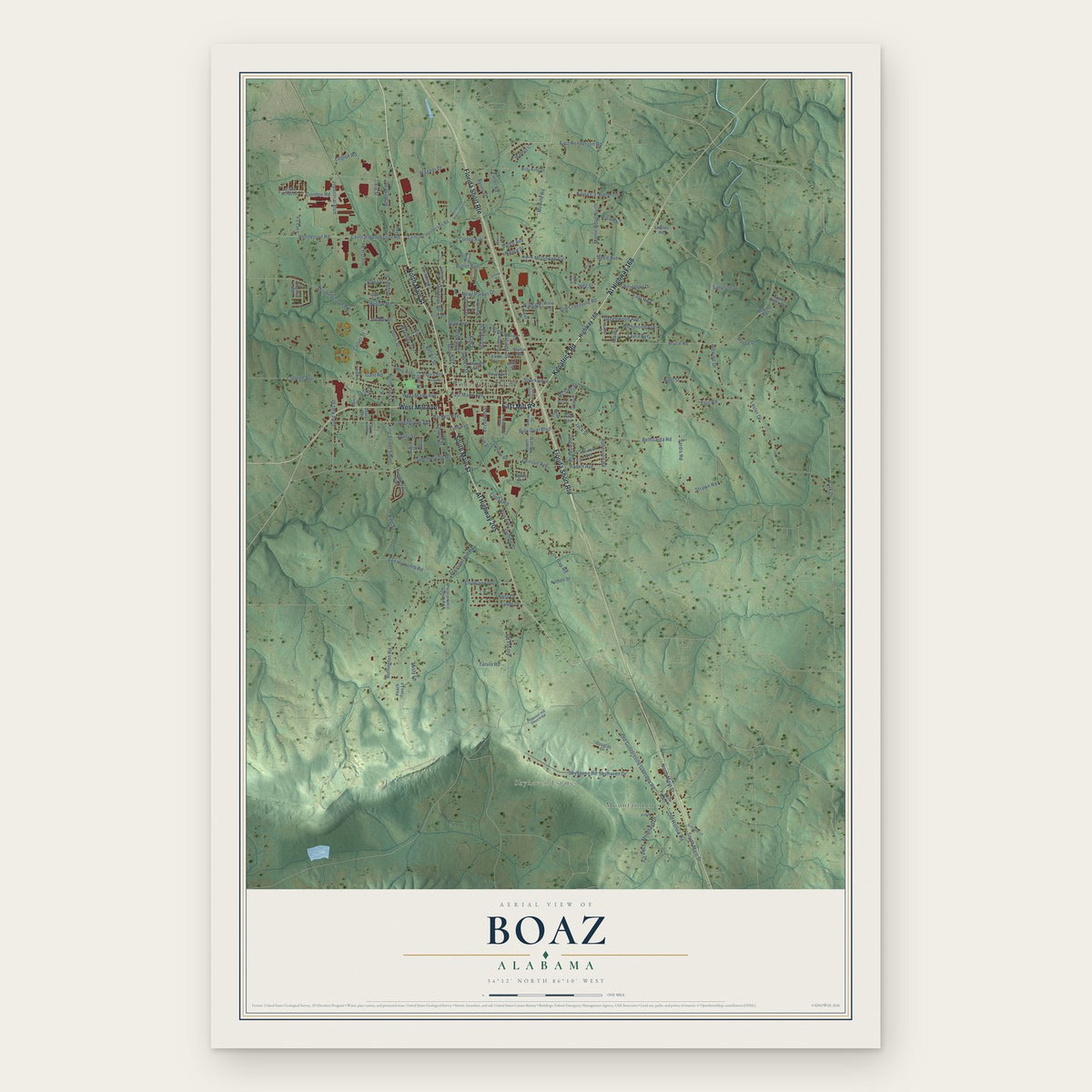
Boaz, Alabama Map Art
Building by building, with labeled streets and shaded relief.
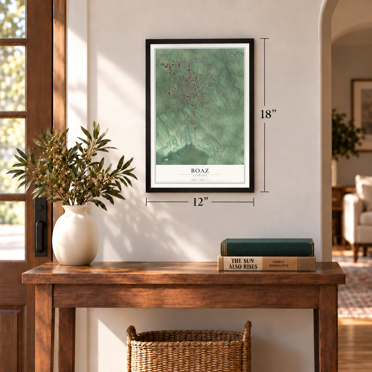
12" x 18" Archival Matte Print
A Map of Home. A Work of Art.
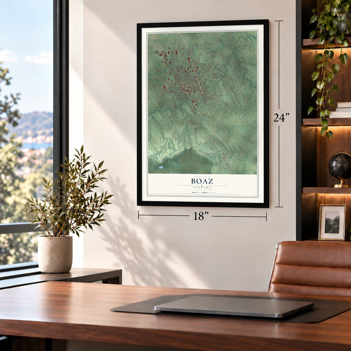
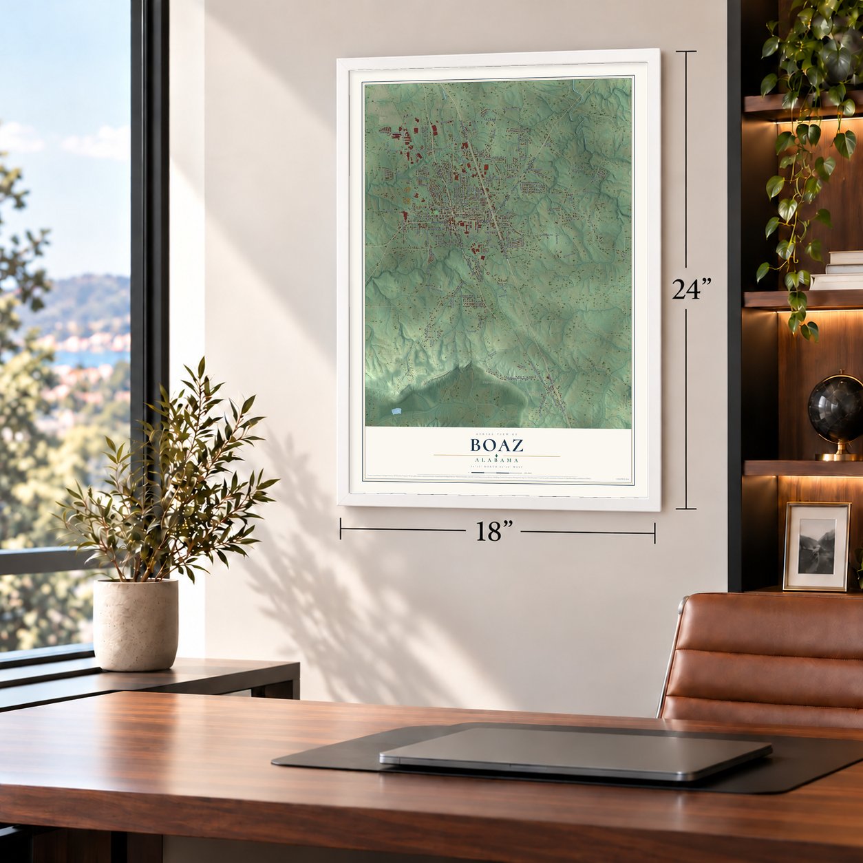
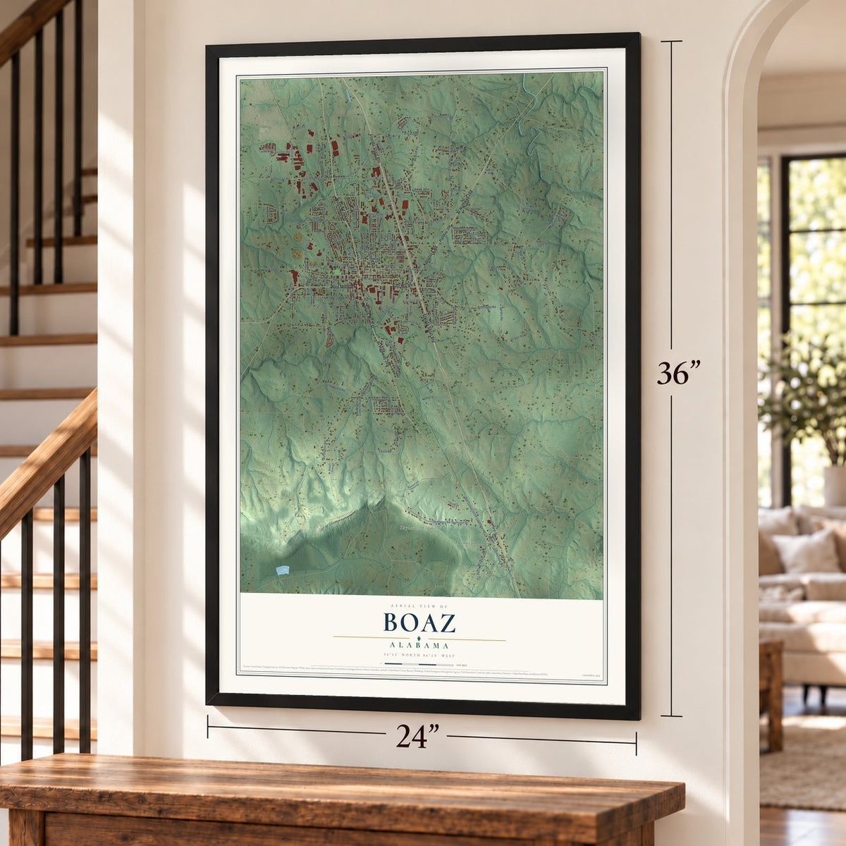
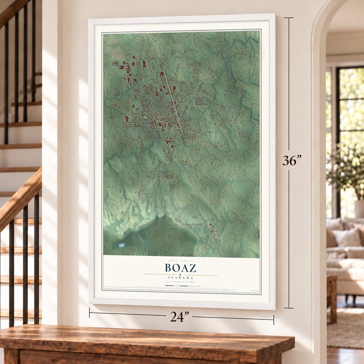
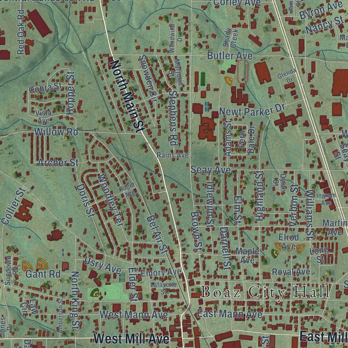
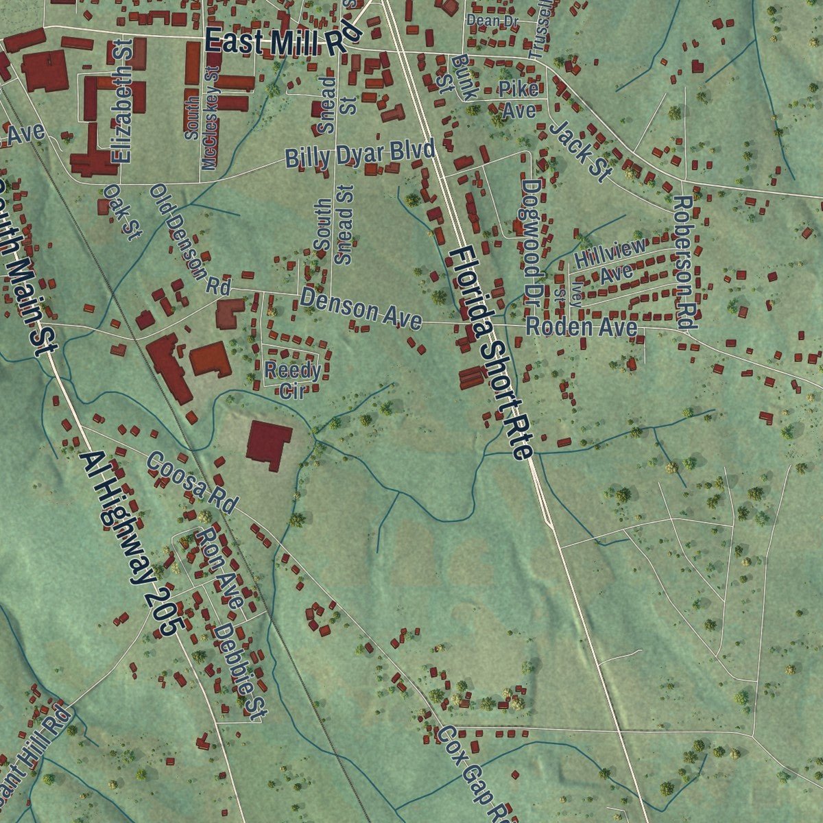
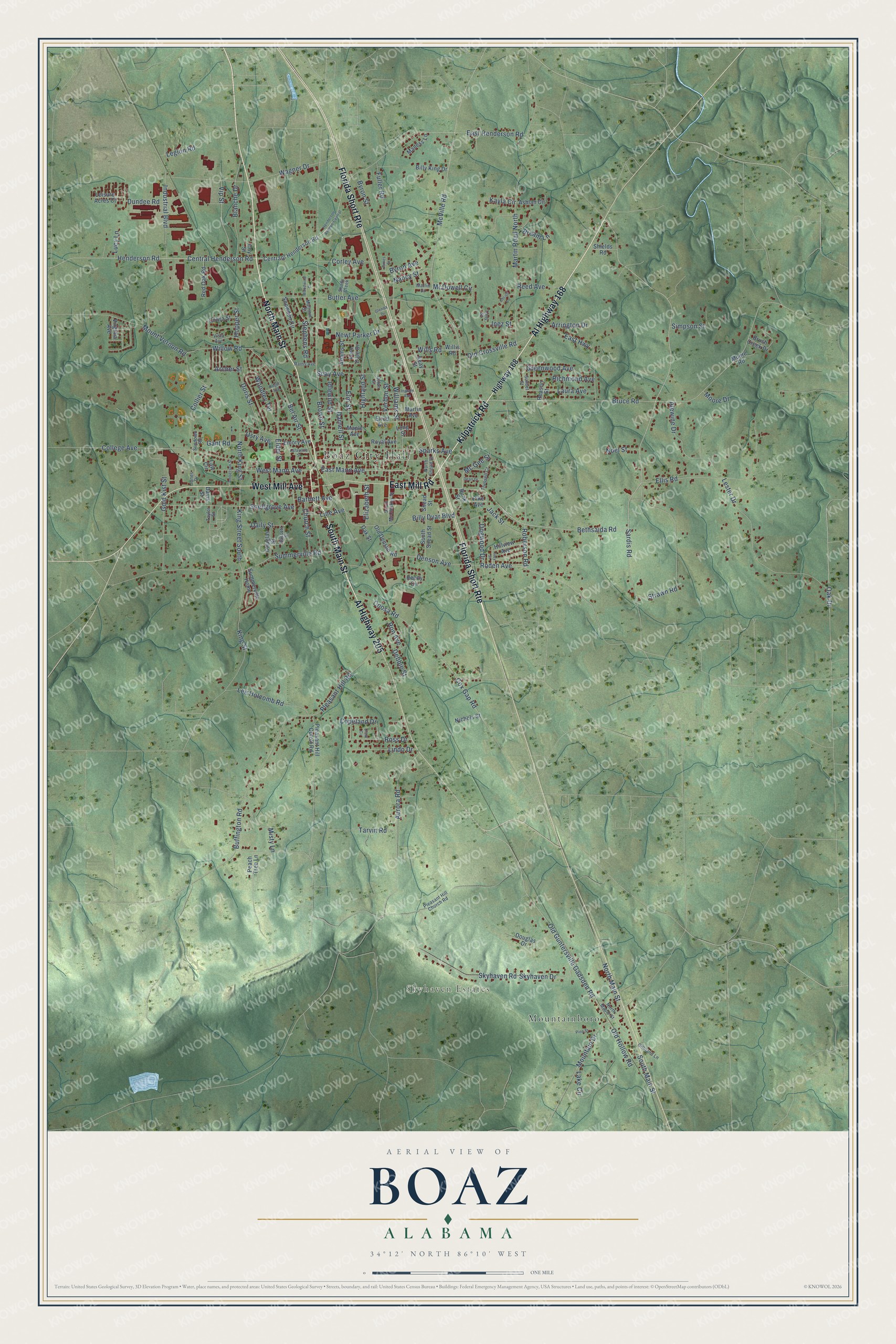
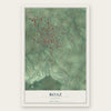
Explore Boaz, Alabama from a whole new perspective. Created using aerial imagery and detailed geographic data, this map captures Boaz building by building, with labeled streets, familiar landmarks, and shaded topographical relief that highlights the natural contours of the landscape.
Combining modern data with the timeless character of a vintage atlas, this map is just as interesting up close as it is beautiful on the wall. Whether you grew up in Boaz, spent memorable years there, or call it home today, this unique map is a great way to celebrate a place that means something to you. Zoom in on the preview to look for your street, and then order a print to put your memories on the wall.
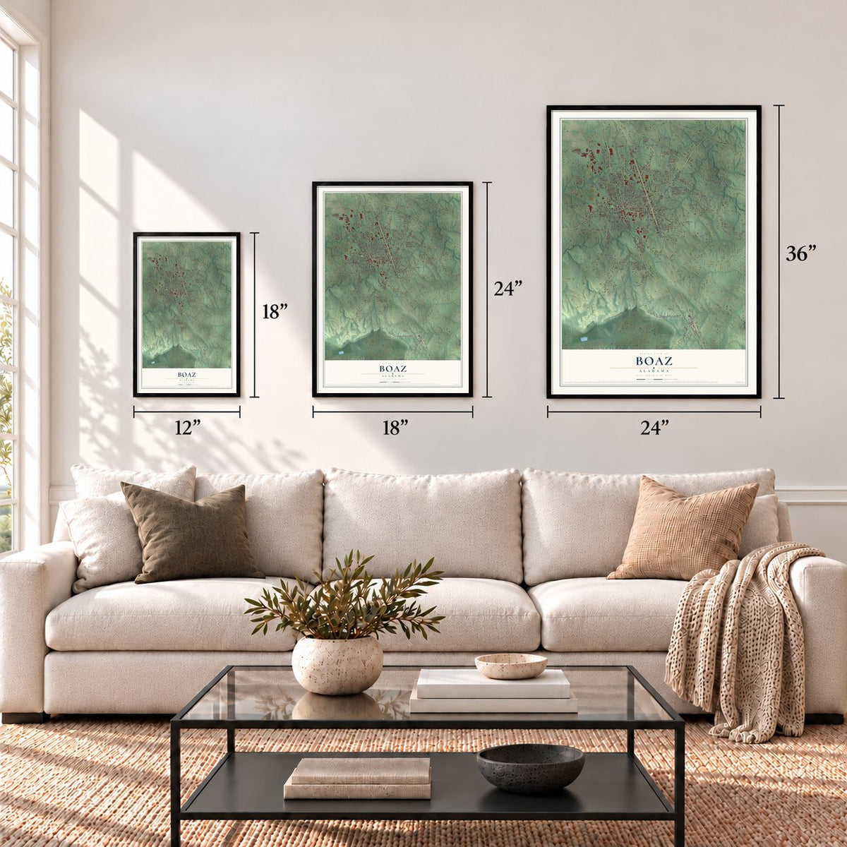
Three ways to hang it
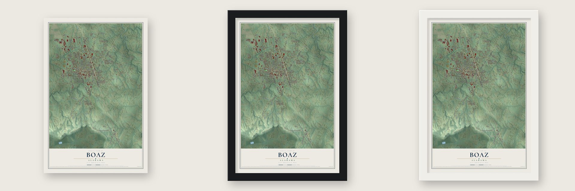
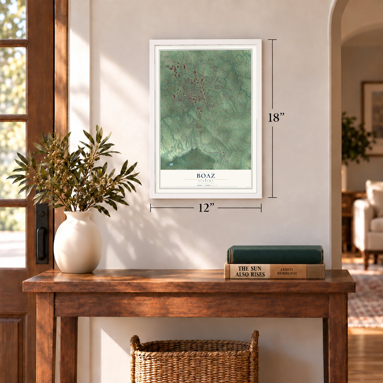
Unframed archival matte, a black wood frame or a white wood frame.
Up close
Geography Worth Displaying
This map was created using accurate cartographic data and authoritative geographic sources, including the U.S. Geological Survey and the Census Bureau. The map brings together terrain, waterways, roads, and building detail. The majority of the streets are labeled, houses are accurately depicted, and the topography is derived from government sources. Combining local data with carefully composed color and shading leads to this beautifully detailed Boaz artwork for your wall.
Rather than simply showing street outlines, we’ve included as many of the street names as we could reasonably fit on the map while keeping their names legible. Zoom in on the high resolution preview to see exactly what’s on the map. We truly set out to create a statement piece for anyone who loves Boaz. So whether it’s for you, or a gift for someone you love, we hope this map of Boaz brings back fond memories.
Find your street
Names on the Boaz map
Every name below is printed on this map. Look for your street, your school, the park where you played, or the pond down the road.
Places and landmarks3
- Boaz City Hall
- Skyhaven Estates
- Mountainboro
Streets and roads183
- North Main Street
- Kilpatrick Road
- South Main Street
- East Mill Road
- Florida Short Route
- Al Highway 168
- Al Highway 205
- West Mill Avenue
- Bethsaida Road
- Central Henderson Road
- Henderson Road
- King Street
- Bruce Road
- King Street South
- Hopper Street
- Roden Avenue
- East Mann Avenue
- Oak Drive
- Brown Street
- Ron Avenue
- Wills Road
- McVille Road
- Martin Road North
- Mount Vernon Road
- College Avenue
- Summerville Road
- Pleasant Hill Road
- Strawn Road
- Lester Drive
- Skyhaven Drive
Show all 183 streets
- Skyhaven Road
- Ellis Road
- Darnell Street
- Wagner Drive
- Williams Street
- Old Guntersville Gadsden Road
- Bel Air Street
- Lake Circle
- Sparks Avenue
- Snellgrove Avenue
- Coosa Road
- Gold Kist Street
- Denson Avenue
- East Henderson Road
- Butler Avenue
- East Highway
- Billy Dyar Boulevard
- Lee Holcomb Road
- Highland Street
- Collier Street
- Seay Avenue
- Alewine Drive
- Elm Street
- Blanche Drive
- Willow Road
- Mountain Drive
- Elder Street
- West Mann Avenue
- Industrial Boulevard
- Aurora Road
- McDowell Circle
- Church Street
- Buffington Road
- Vip Street
- Woodley Terrace
- Sardis Road
- Old Crossville Road
- Arrington Drive
- Laura Avenue
- Lindo Drive
- Doris Street
- Richmond Avenue
- Misty Lane
- Stephens Road
- Kayla Circle
- Ross Drive
- North King Street
- Fuller Road
- Byron Avenue
- Dogwood Drive
- Jack Street
- Greenwood Avenue
- Old Hollow Road
- Newt Parker Drive
- Idlewild Street
- Corley Avenue
- Copeland Drive
- Simpson Street
- Reed Avenue
- Mc Gee Street
- Roberson Road
- Daily Street
- Dundee Road
- Bartlett Avenue
- Cox Gap Road
- Tarvin Road
- Debbie Street
- Elizabeth Street
- Byron Street
- Usry Avenue
- Nancy Street
- Line Avenue
- Verbon Street
- Bream Lane
- Archer Street
- Noel Street
- Gant Road
- Legion Road
- Lucy Lane
- Moore Drive
- Inez Street
- Highway 168
- Snead Street
- Seay Street
- Martin Avenue
- Centraql Henderson Road
- Pleasant Hill Cutoff Road
- Reedy Circle
- Willis Road
- Summerville Home
- Maple Avenue
- Snowden Circle
- Douglas Drive
- Cobra Street
- South Snead Street
- Brush Creek Drive
- Adams Street
- Old Denson Road
- Red Oak Road
- Ashlan Circle
- Elrod Avenue
- Emory Avenue
- Hillview Avenue
- Reason Street
- Royal Avenue
- Long Street
- Billy King Drive
- Douglas Street
- Leisure Acres Court
- Law Circle
- Maness Lane
- Peach Tree Lane
- Nichols Street
- Shields Road
- Virginia Avenue
- Pike Avenue
- Moore Road
- Fern Dale Drive
- Davis Street
- Oak Street
- Coy Street
- Bunk Street
- Bassett Street
- Vista Avenue
- Pleasant Hill Church Road
- Trussell Court
- South McCleskey Street
- North Snead Street
- Marlin Drive
- Marjorie Street
- North Maple Street
- Gilliland Lane
- Rains Avenue
- Sunset Street
- Sundown Road
- Shady Creek
- Jones Drive
- Dylan Street
- Tony Street
- Taylor Street
- Henderson Avenue Central
- Pine Street
- Roger Avenue
- Christi Lane
- Glenda Drive
- Ingram Avenue
- Amberson Street
- Woodwind Drive
- Dean Drive
- Lafayette Street
- Ivey Street
- James Street
- Clark Circle
Names are listed as they appear on the printed map. Zoom into the product photos to find them.
About Boaz, Alabama
Boaz is a city of 10,107 people on Sand Mountain, mostly in Marshall County, with a part reaching south into Etowah County. People had settled the area by the early 1850s, but the town itself dates to November 11, 1878, when the Sparks family led several Georgia families here to start it. They named it for Boaz, a man in the Old Testament, and the county history dates the post office to 1887.
The railroad reached Boaz in 1892, and the town was incorporated in 1897. It grew fast after that: the count was 253 people in 1900 and 1,010 in 1910. For decades the town lived on cotton, selling supplies to nearby farms and ginning their crop. The boll weevil and the Great Depression hit hard, so farmers turned to poultry and livestock. World War II brought more recovery, and after the war Boaz became a center for selling and fixing used cars.
- A Methodist seminary in 1898Boaz Seminary, backed by the Methodist Church, opened in 1898. In 1906 it was renamed the John H. Snead Seminary, and over the years it grew into Snead State Community College, which still has its main campus in Boaz. The Snead Junior College Historic District joined the National Register in 1999.
- 130 outlet storesThe VF Corporation turned an empty factory in Boaz into an outlet store in the early 1980s. It did so well that other retailers followed, and by the late 1980s the town had 130 outlet stores drawing five million shoppers a year. Then the crowds thinned. The count fell to 80 stores in the early 1990s, the Great Recession drove more away, and three buildings of the outlet center were torn down in 2016.
- Three banks and a newspaperBy 1915 Boaz had three banks: the First National Bank, the Boaz Bank and the Farmers & Merchants Bank. The Boaz Weekly News had started publishing in 1914. The town also had Methodist, Baptist and Presbyterian churches, grammar schools and a city high school.
- Harvest Festival since 1965Boaz has held its Harvest Festival since 1965, on the first weekend in October. Each year a Miss Harvest Festival is crowned, along with a Little Miss Harvest Festival, and vendors sell food and arts and crafts.
Keep exploring Alabama
Boaz is one of 675 Alabama towns we've mapped. Every dot on the map is a print of its own.
The search covers every state, Alabama first.
Near Boaz
Order 2 or more town maps and save 10%. Shown in the size and finish you picked above, so they hang as a set.
- Sardis City 12" x 18" / Archival Matte Print $39.99
- Albertville 12" x 18" / Archival Matte Print $39.99
- Whitesboro 12" x 18" / Archival Matte Print $39.99
More maps nearby: Carlisle-Rockledge, New Union, Bristow Cove, Egypt and Duck Springs.
The art of mapping a place
How This Map Was Made
Real places. Remarkable detail. Discover the layers that turn geographic data into a map of home.

The view from above
Aerial imagery reveals the character of the land: woodland, open fields, and the patterns of a place.

The shape of the land
Elevation data brings hills, valleys, and subtle changes in the landscape into view.

The details of home
Roads, waterways, and building footprints come together to make the map feel unmistakably local.

Geography becomes art
Considered color, shading, and typography bring the layers together in a map made for your wall.


Process illustrated with Mendon, Massachusetts. Aerial imagery: USDA NAIP. Terrain: USGS 3D Elevation Program. Map details and finished artwork: KNOWOL.
The Details
About This Print
Choose an archival matte print, or a black or white Ayous wood frame. The archival matte print is unframed.
Select your size and finish above to see the matching product image and price.
Materials & Craftsmanship
A contemporary map with the character of a classic atlas, printed on archival matte paper. Optional frames are made from Ayous wood.
Your printed map does not include the watermark shown in the full-map preview.
Shipping & Delivery
Free shipping within the United States. Every print is made to order in the USA.
Buying a gift? Add a note in your cart and we'll include it. We never put prices in the package.
Prints ship within 2 to 3 business days. Allow 7 to 10 days total from ordering for delivery. Timing may vary during holidays or periods of high order volume.
Read our shipping policy.
Returns and damaged prints
Each print is made to order. Change-of-mind refunds are not available after production.
If your print arrives damaged, misprinted or incorrect, contact support@knowol.com within 30 days of receiving it. Include your order number, photos and a description of the issue.
Read our full refund and replacement policy. For questions about your order, email support@knowol.com.