
Search for another town


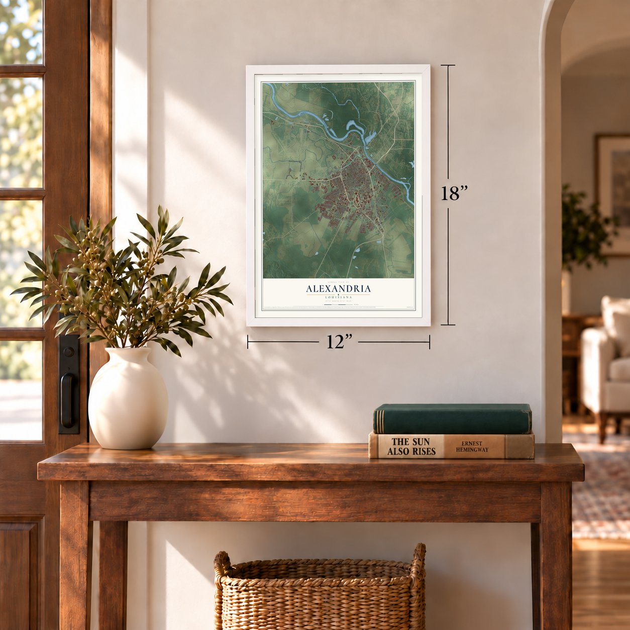
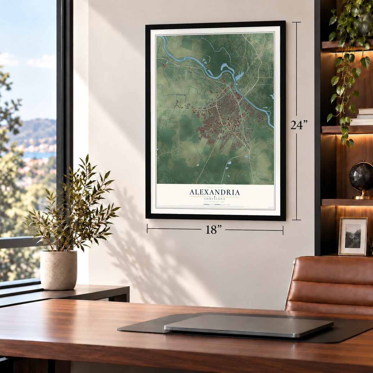
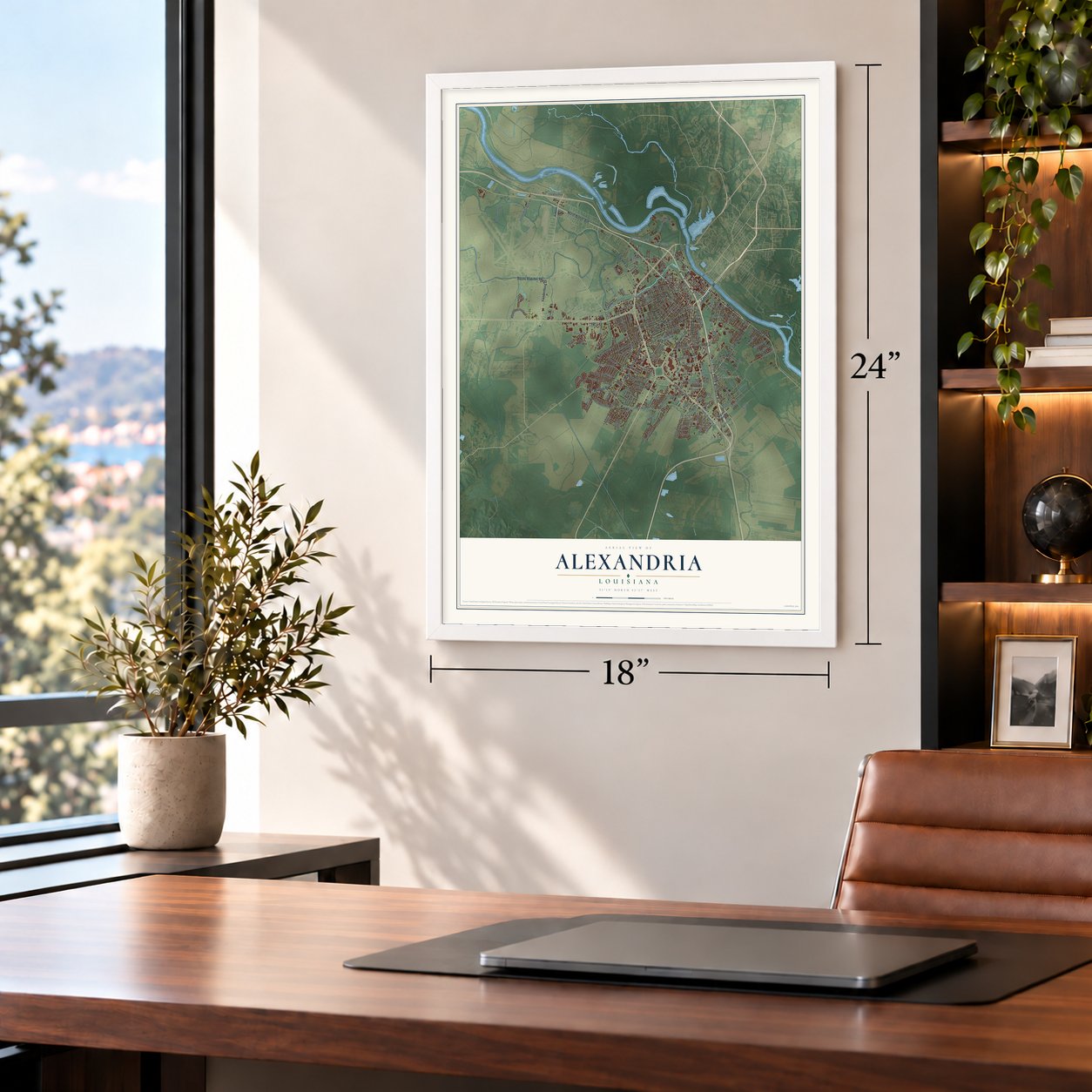

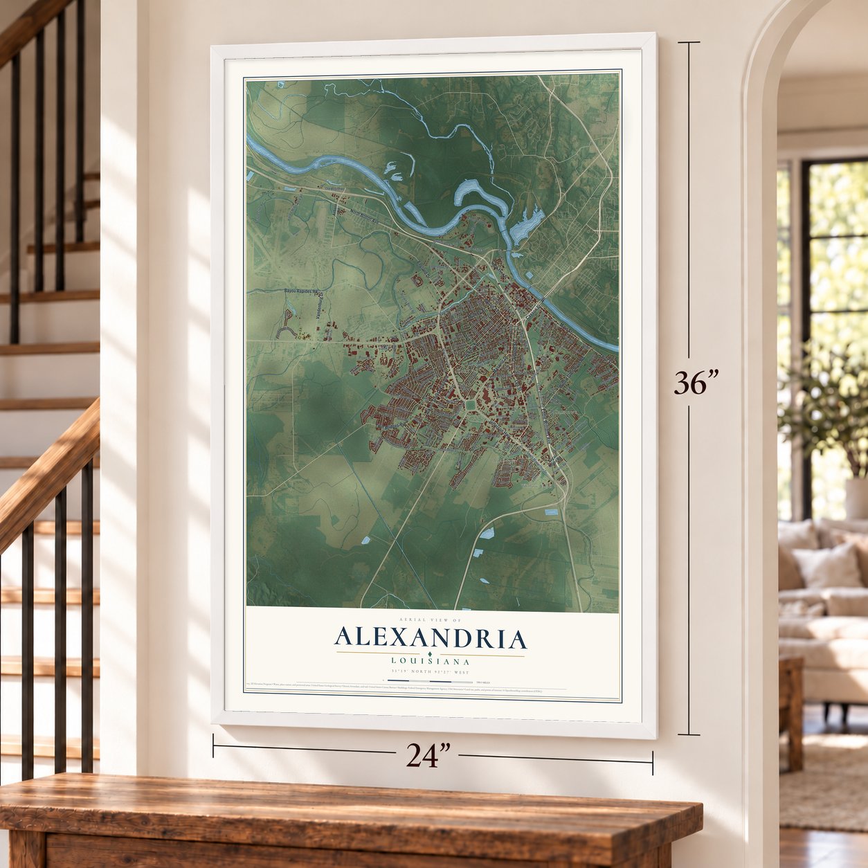

Free U.S. delivery 7 to 10 days after you order
Alexandria, Louisiana Map Art
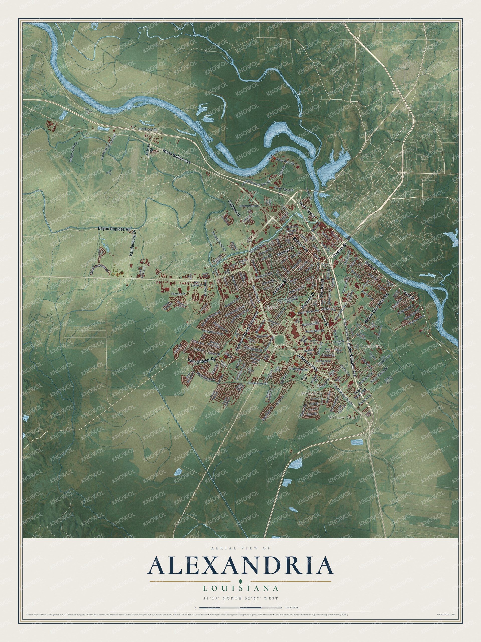
A new map of Alexandria, Louisiana, made in 2026 and printed to order on thick archival matte paper.
12" x 18" Archival Matte Print
A Map of Home. A Work of Art.
Explore Alexandria, Louisiana from a whole new perspective. Created using aerial imagery and detailed geographic data, this map captures Alexandria building by building, with labeled streets, familiar landmarks, and shaded topographical relief that highlights the natural contours of the landscape.
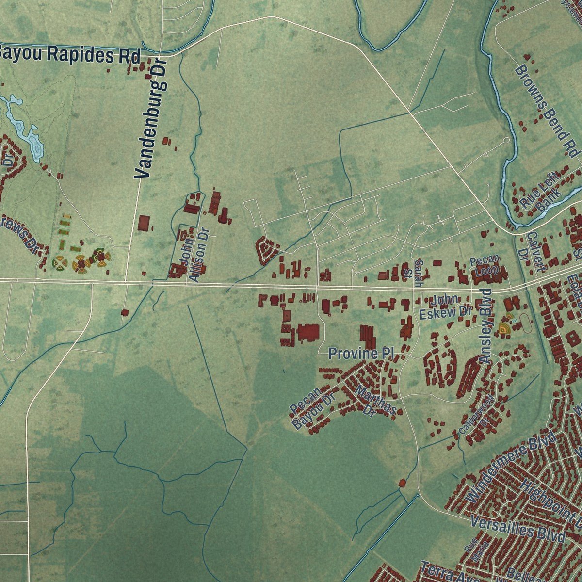
Combining modern data with the timeless character of a vintage atlas, this map is just as interesting up close as it is beautiful on the wall. Whether you grew up in Alexandria, spent memorable years there, or call it home today, this unique map is a great way to celebrate a place that means something to you. Zoom in on the preview to look for your street, and then order a print to put your memories on the wall.
Three ways to hang it
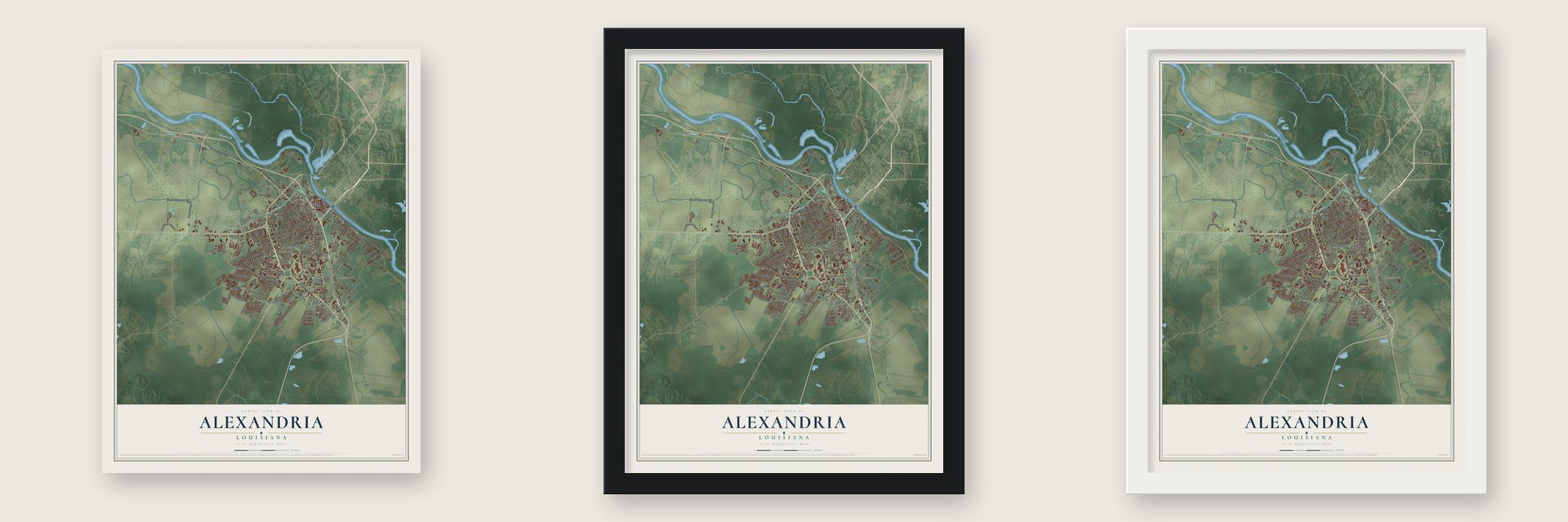
Unframed archival matte, a black wood frame or a white wood frame.
Up close
Geography Worth Displaying
This map was created using accurate cartographic data and authoritative geographic sources, including the U.S. Geological Survey and the Census Bureau. The map brings together terrain, waterways, roads, and building detail. The majority of the streets are labeled, houses are accurately depicted, and the topography is derived from government sources. Combining local data with carefully composed color and shading leads to this beautifully detailed Alexandria artwork for your wall.
Rather than simply showing street outlines, we’ve included as many of the street names as we could reasonably fit on the map while keeping their names legible. Zoom in on the high resolution preview to see exactly what’s on the map. We truly set out to create a statement piece for anyone who loves Alexandria. So whether it’s for you, or a gift for someone you love, we hope this map of Alexandria brings back fond memories.
Read the story behind this map of Alexandria, Louisiana from 2026.

About Alexandria, Louisiana
Alexandria is a city of 45,275 people on the south bank of the Red River, near the center of Louisiana, and it is the seat of Rapides Parish. Spain granted land here in 1762 to Alexander Fulton, a merchant from near Pittsburgh. In 1805 Fulton and his partner, Thomas Harris Maddox, laid out the town and named it after him. Rapides Parish was created in 1807, and Alexandria became its seat.
On May 13, 1864, while Federal troops occupied Alexandria, a fire broke out and burned much of the town before it could be stopped. People said Gen. Banks had ordered it, but the 1914 state history doubted the rumor, because the soldiers worked hard to put out the flames and save property. Another bad fire hit in May 1879, but the town kept growing. It became a city in 1882, counted 11,213 people in 1910 and was then served by Red River steamers and seven railroad lines.
- Sherman's State SeminaryThe legislature of 1855 chose Alexandria for the State Seminary, and the school opened its doors on Jan. 2, 1860. Its first official head was Col. William T. Sherman.
- Kent Plantation HouseKent Plantation House was finished by 1800 on land granted by Spain, and it is the oldest building still standing in Central Louisiana. Only two buildings in the city survived the burning of 1864, and it was one of them. It has been moved, but it still sits on part of that first grant. Costumed guides lead tours of the furnished house and its nine outbuildings, among them a sugar mill, a blacksmith shop and two slave cabins.
- Merchants who sailed with RochambeauFulton was the town's first merchant. Among the others who traded here early were Antoine Boissat and M. Labat, who had come from France with Marshal Rochambeau, fought in the Revolutionary War and settled in Louisiana once American independence was won.
- A college and a bankIn 1818 John Casson gave land for a college, and the College of Rapides took its first students two years later. Its buildings had fallen to ruins by 1860. The Bank of Louisiana opened here in 1821 and ran successfully until 1846.
- Mardi Gras on Texas AvenueAlexandria sits north of Cajun country, but the city keeps Mardi Gras as an official holiday. Its Krewes Parade rolls down Texas Avenue on the Sunday before Mardi Gras with more than 20 New Orleans style floats and marching bands, and it can draw 120,000 to 150,000 people.
Find your street
Names on the Alexandria map
Every name below is printed on this map. Look for your street, your school, the park where you played, or the pond down the road.
Places and landmarks4
- Anandale
- Kent
- Samtown
- Willow Glen
Streets and roads204
- Lee Street
- Overton Street
- Casson Street
- Main Street
- Masonic Drive
- Bolton Avenue
- Third Street
- Eddie Williams Avenue
- Vandenburg Drive
- North Bolton Avenue
- Jackson Street
- Jefferson Highway
- Bayou Rapides Road
- Willow Glen River Road
- Jackson Street Extended
- Monroe Street
- England Drive
- Twin Bridges Road
- North Third Street
- Wise Street
- Broadway Avenue
- Rapides Avenue
- Houston Street
- Texas Avenue
- Tenth Street
- East Texas Avenue
- Lodi Road
- Random Drive
- South Macarthur Drive
- Macarthur Drive
Show all 204 streets
- Horseshoe Drive
- Hudson Boulevard
- Versailles Boulevard
- Elliott Street
- Browns Bend Road
- Prescott Road
- Sixth Street
- Heyman Lane
- Ninth Street
- Marye Street
- Windermere Boulevard
- Levin Street
- Industrial Park Site Road
- Site Road
- Sugar House Road
- Beagle Club Road
- Fifth Street
- Lincoln Road
- Dixie Lane
- Old Boyce Road
- Huffman Street
- 13th Street
- Hill Street
- Albert Street
- Sterkx Road
- Ansley Boulevard
- Culpepper Road
- Enterprise Road
- Deerfield Drive
- Hynson Street
- Navaho Trail
- Provine Place
- Harold Miles Park Road
- Richard Avenue
- Levee Pk
- Saint Andrews Drive
- Memorial Drive
- Lisa Street
- Jones Avenue
- Terra Avenue
- Duhon Lane
- West Shore Drive
- Whitefield Boulevard
- Dallas Avenue
- Highpoint Drive
- Wellington Boulevard
- Plantation Drive
- Olive Street
- Metro Drive
- Halsey Street
- 14th Street
- Polk Street
- 24th Street
- North Mall Drive
- Southland Street
- Lula Lane
- Daspit Street
- Richmond Drive
- Toria Drive
- Bogan Street
- Oran Avenue
- Avoyelles Drive
- Mill Street
- Stimson Avenue
- Mary Street
- River Port Road
- North Drive
- Perkins Road
- Watkins Street
- Manor Drive
- Michiels Drive
- Carl Street
- Bay Street
- Ellis Street
- Osiris Street
- Felker Street
- Yoist Street
- Coco Drive
- Ola Street
- Airbase Road
- Tulane Avenue
- North Boulevard
- Fourth Street
- New York Avenue
- 16th Street
- Baldwin Avenue
- Applewhite Street
- Links Drive
- Belleau Wood Boulevard
- North City Park Boulevard
- Lillie Grimble Avenue
- Pecan Bayou Drive
- Alma Street
- Mildred Avenue
- Jeff Davis Drive
- Wakefield Boulevard
- Simmons Street
- Rue Left Bank
- Day Street
- Peach Street
- Arden Oaks Drive
- Lancaster Drive
- John Allison Drive
- Post Oak Boulevard
- Bayou Robert Drive
- Shirland Avenue
- Taylor Oaks Lane
- Government Street
- West Morgan Drive
- Grand Oak Drive
- Green Street
- John Eskew Drive
- Courtland Place
- Cotton Gin Road
- Terminal Road
- Marthas Drive
- Bonaire Trce
- Reed Avenue
- Loblolly Lane
- Calvert Drive
- Myrtle Street
- Rose Marie Street
- Carol Court
- Ida Street
- Rutland Road
- Eola Drive
- Garden Drive
- Betty Street
- Baker Street
- Gay Road
- Paris Drive
- Jube Street
- Nall Street
- Seventh Street
- Mohon Street
- Pecan Loop
- Nelson Street
- Brown Street
- Royal Drive
- Park Avenue
- Hickory Street
- Noel Street
- Bloch Street
- Warren Avenue
- Yupon Drive
- Clover Lane
- Greco Drive
- Harold Glen Street
- Kees Avenue
- Sarah Street
- Oliver Drive
- Louis Street
- Delia Street
- Harris Street
- Foisy Street
- Industrial Street
- University Street
- Calderwood Drive
- Old Boyce Highway
- Bertie Street
- West Sycamore Street
- Carlyle Loop
- Rue Maria
- Coty Drive
- Mertens Street
- Hardtner Street
- Railroad Avenue
- Tot Drive
- Brenda Street
- Allen Drive
- Lexington Drive
- Hillcrest Drive
- Louise Street
- Perry Street
Names are listed as they appear on the printed map. Zoom into the product photos to find them.
The art of mapping a place
How This Map Was Made
Real places. Remarkable detail. Discover the layers that turn geographic data into a map of home.

The view from above
Aerial imagery reveals the character of the land: woodland, open fields, and the patterns of a place.

The shape of the land
Elevation data brings hills, valleys, and subtle changes in the landscape into view.

The details of home
Roads, waterways, and building footprints come together to make the map feel unmistakably local.

Geography becomes art
Considered color, shading, and typography bring the layers together in a map made for your wall.


Process illustrated with Mendon, Massachusetts. Aerial imagery: USDA NAIP. Terrain: USGS 3D Elevation Program. Map details and finished artwork: KNOWOL.
The Details
About This Print
Choose an archival matte print, or a black or white Ayous wood frame. The archival matte print is unframed.
Select your size and finish above to see the matching product image and price.
Materials & Craftsmanship
A contemporary map with the character of a classic atlas, printed on archival matte paper. Optional frames are made from Ayous wood.
Your printed map does not include the watermark shown in the full-map preview.
Shipping & Delivery
Free shipping within the United States. Every print is made to order in the USA.
Buying a gift? Add a note in your cart and we'll include it. We never put prices in the package.
Prints ship within 2 to 3 business days. Allow 7 to 10 days total from ordering for delivery. Timing may vary during holidays or periods of high order volume.
Read our shipping policy.
Returns and damaged prints
Each print is made to order. Change-of-mind refunds are not available after production.
If your print arrives damaged, misprinted or incorrect, contact support@knowol.com within 30 days of receiving it. Include your order number, photos and a description of the issue.
Read our full refund and replacement policy. For questions about your order, email support@knowol.com.
Find your town
Looking for another city?
Find a map of home in our Louisiana collection, or any town in the country.
Nearby
Maps of towns near Alexandria
Know someone from one of these towns? Their map makes a great gift.
 Pineville
, Louisiana
From $39.99See the map
 Woodworth
, Louisiana
From $39.99See the map
 Creola
, Louisiana
From $39.99See the map
More maps nearby: Ball, Prospect, Rock Hill, Boyce and Pollock.